Upper Mazatzal Loop
51.6 mi8,164 ft
5,869 ft
2,310 ft
Long backpacking loop through the remote northern reaches of the Mazatzal Wilderness. Includes well-groomed AZT sections as well as overgrown backcountry hacks.
Photos
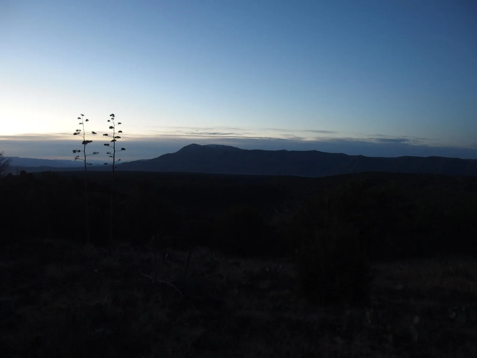
 Predawn light on North Peak
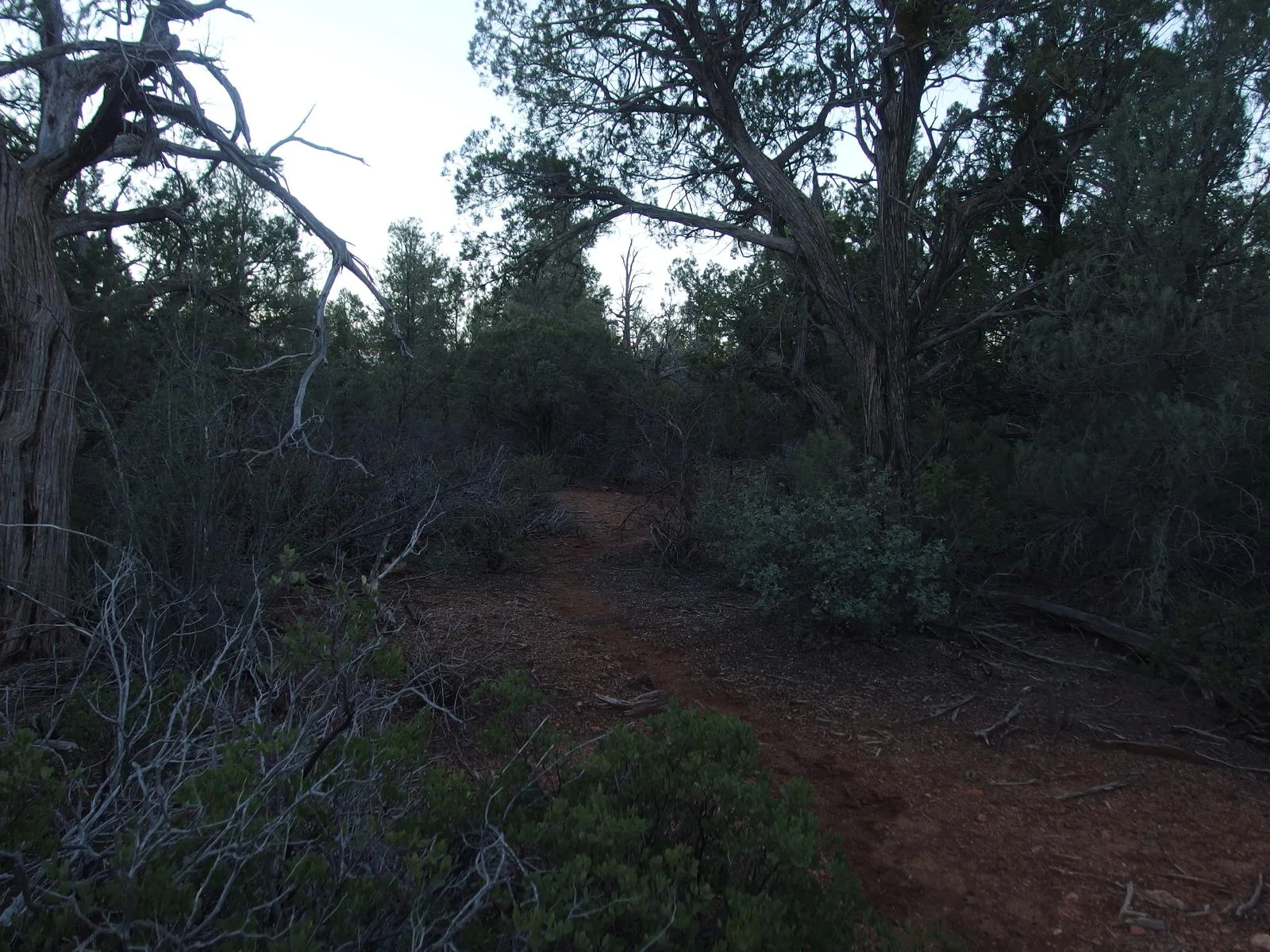
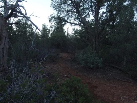 Thick, green growth on Saddle Ridge
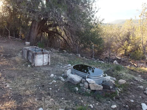 Overflow at Whiterock Spring
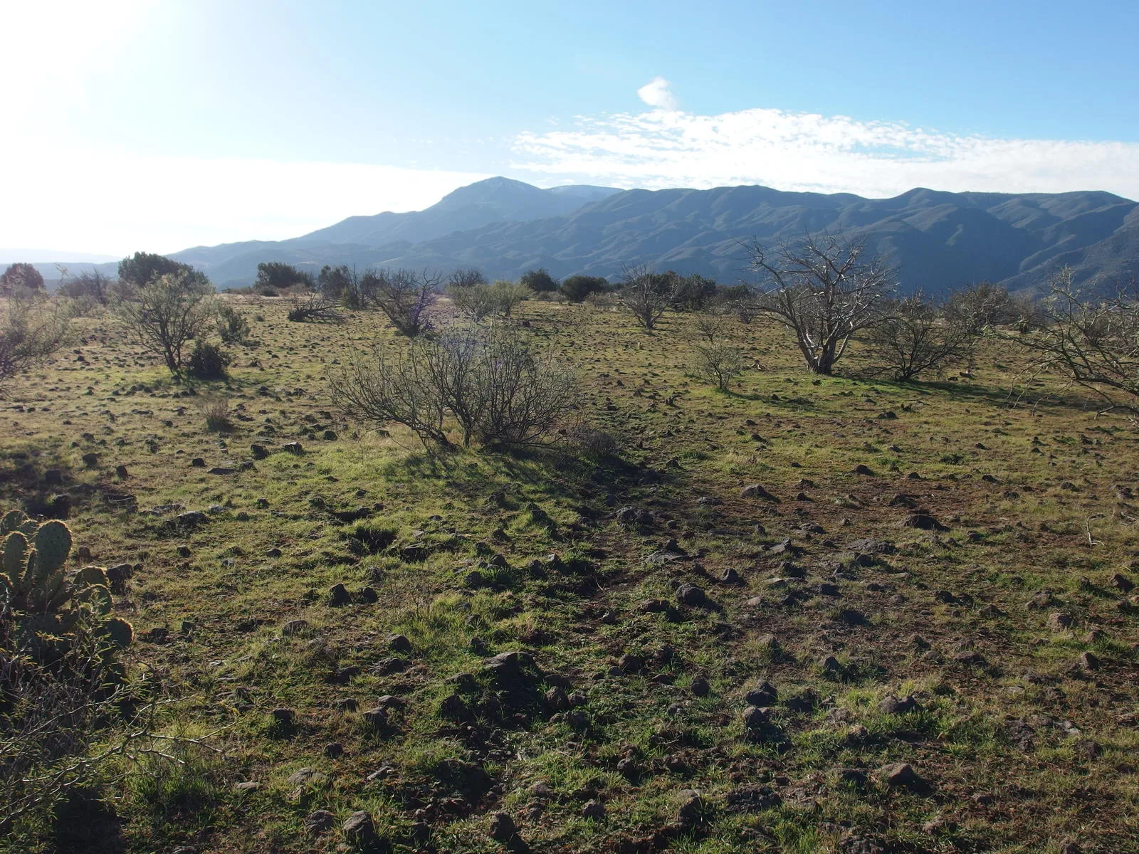
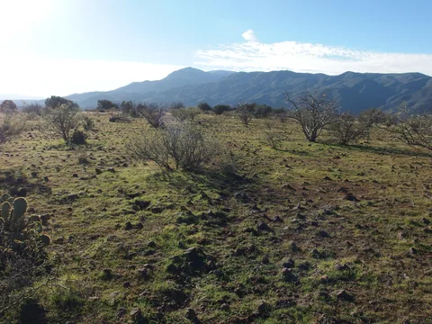 Stumbling rocks and big views on Polles Mesa
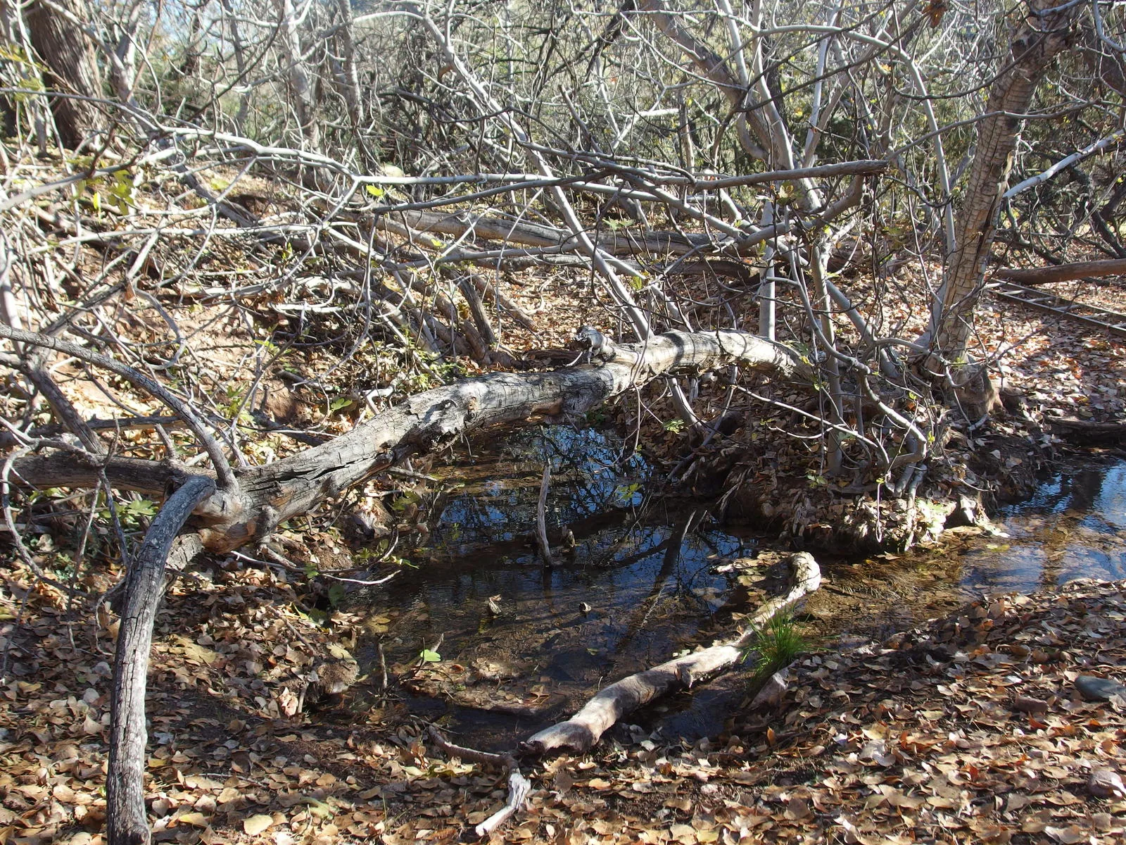
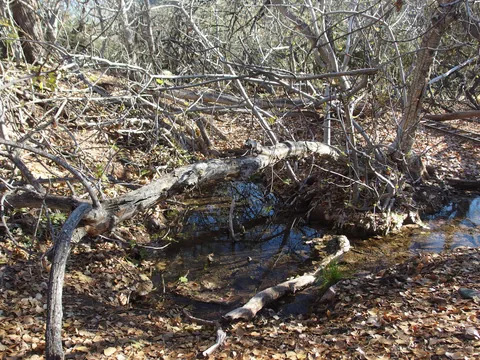 Source of Polk Spring
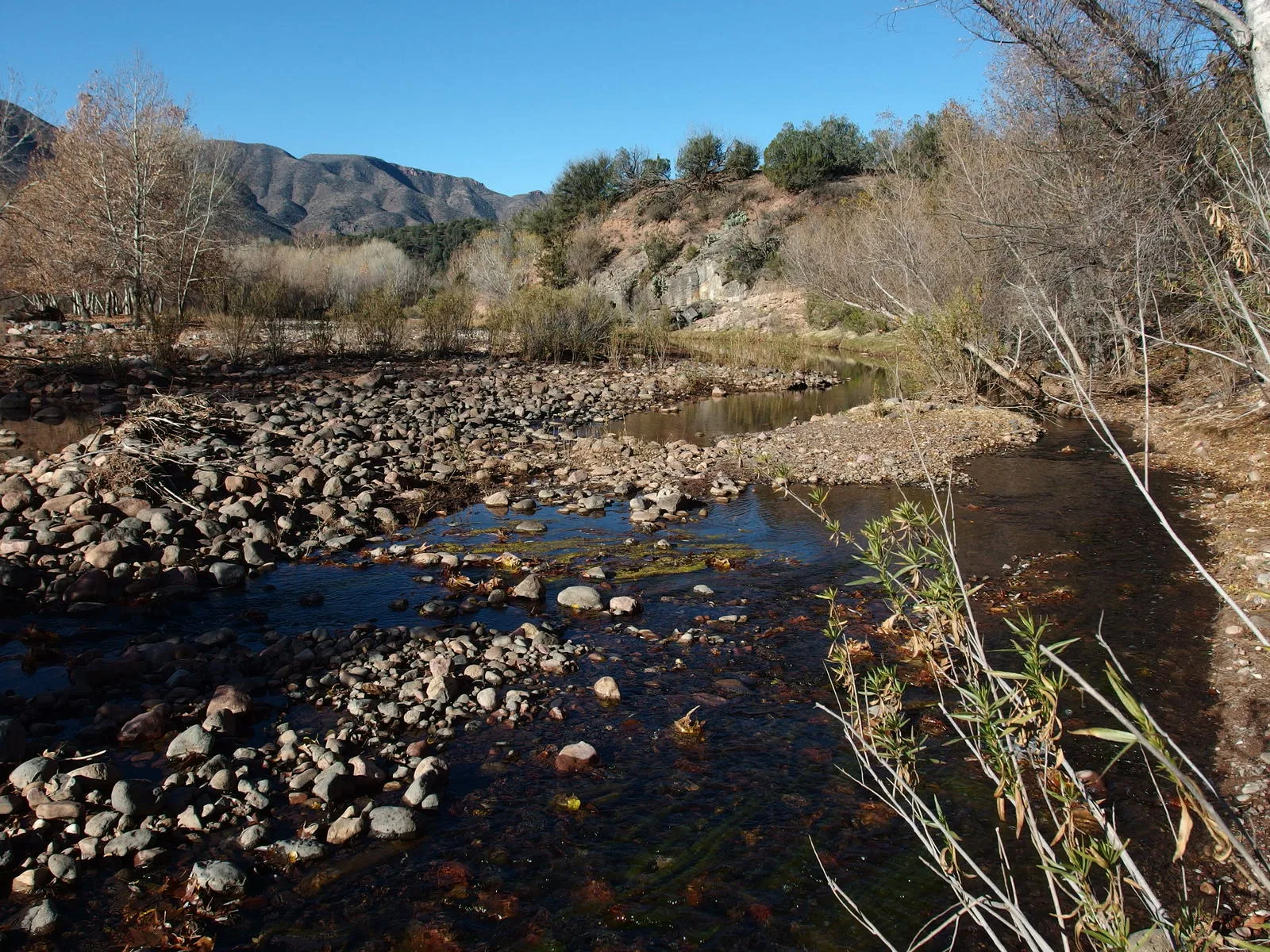
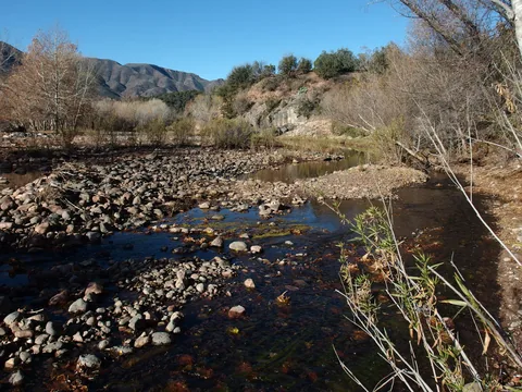 Easy crossing of East Verde River
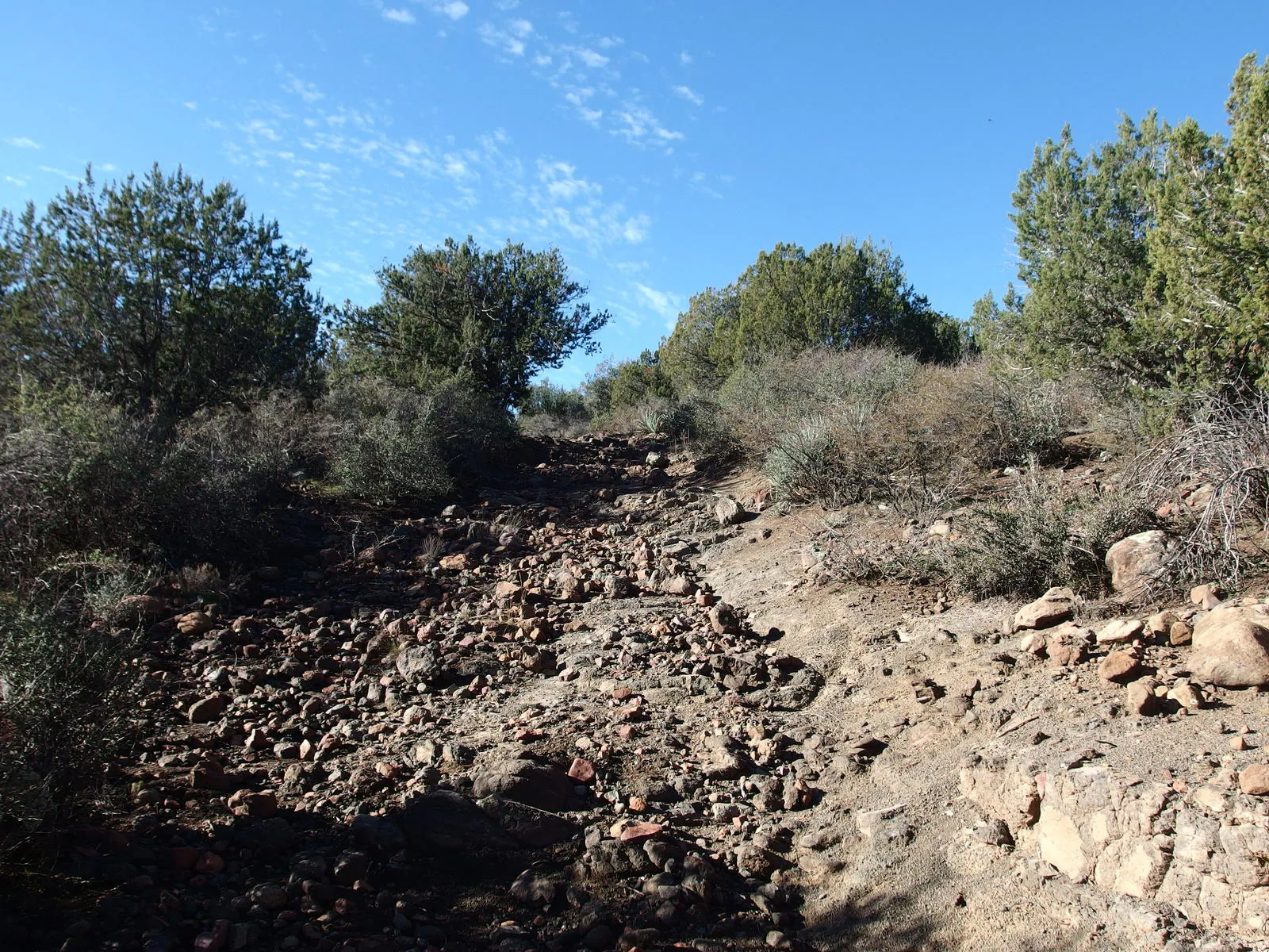
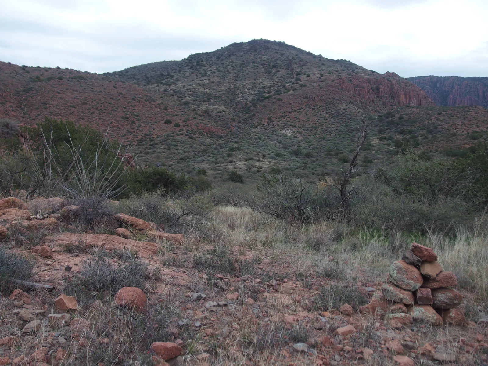
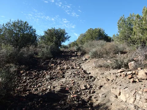 A rough, rolling start to Bull Spring Trail
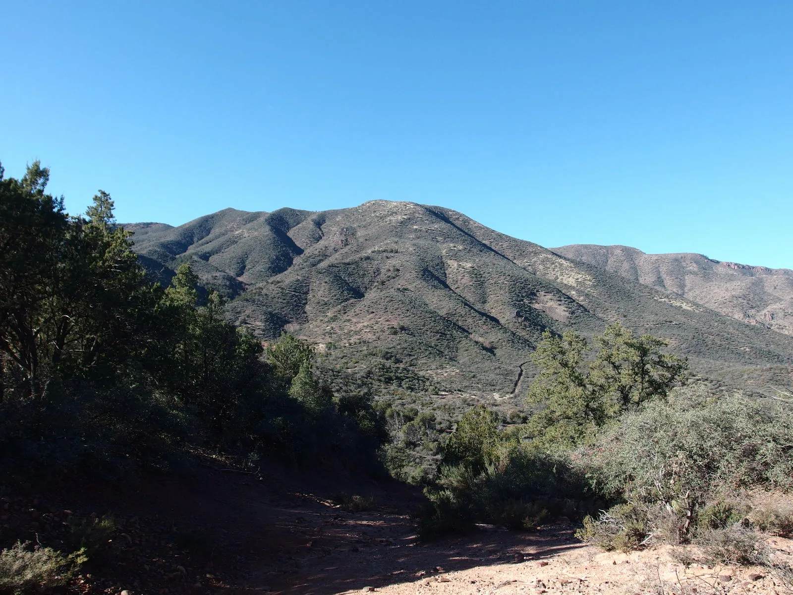
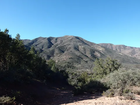 The trail slides along the face of 5366' ahead
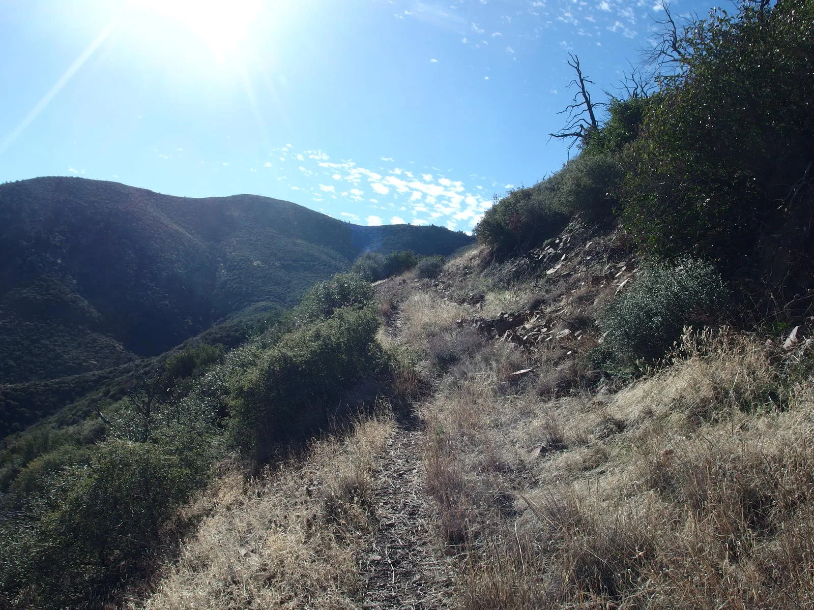
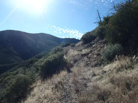 A steady, relentless climb
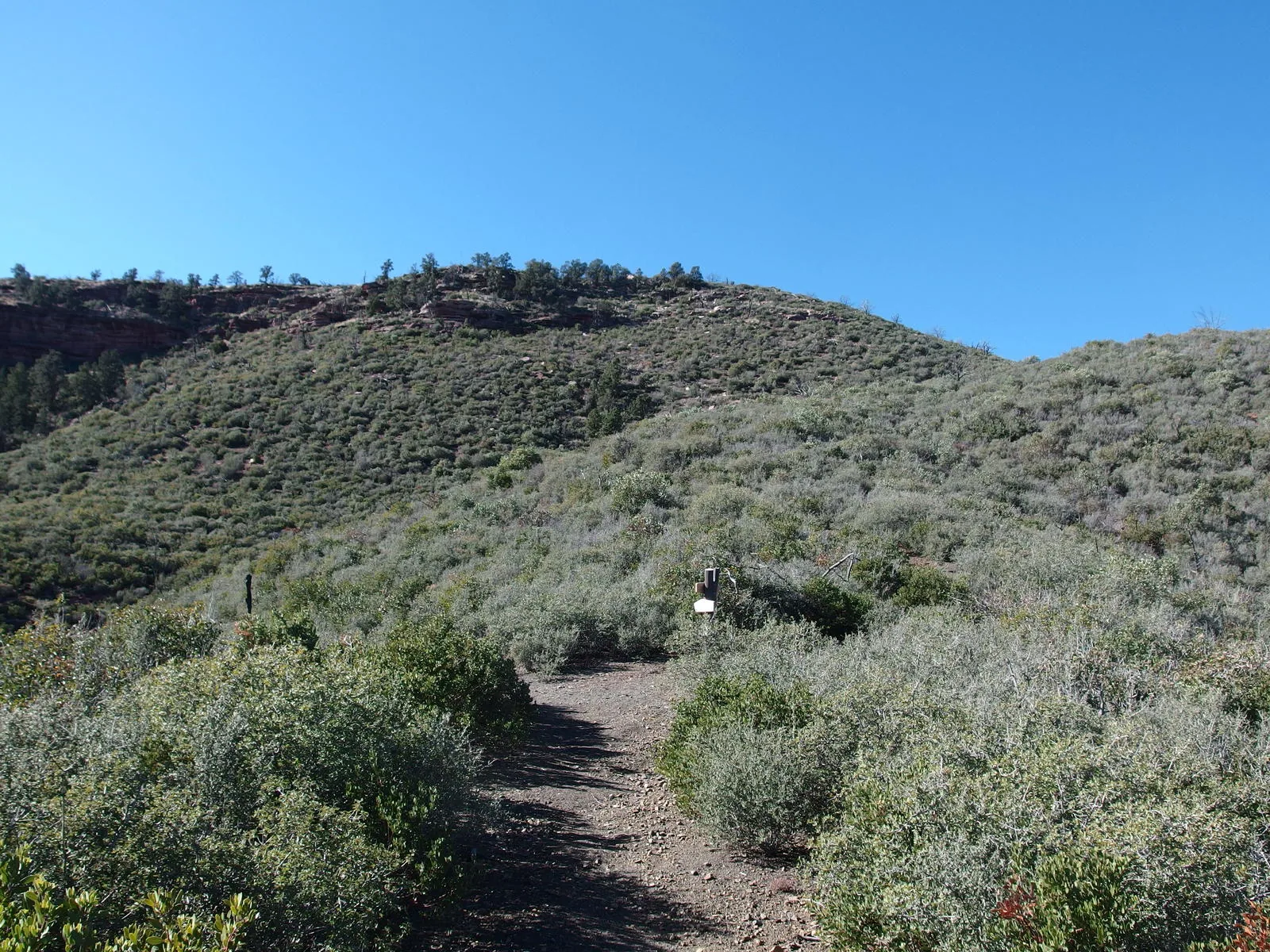
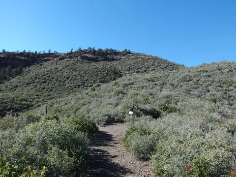 Finally at the trail junction
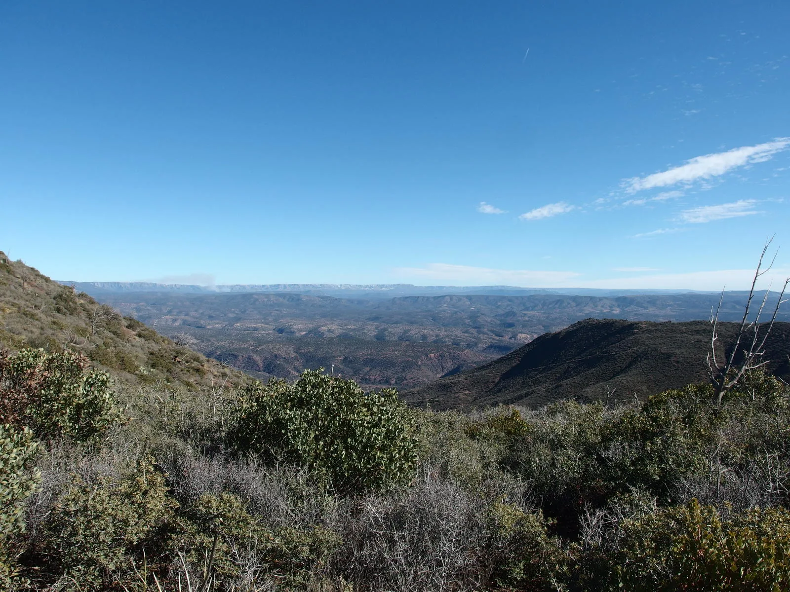
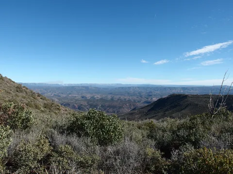 Looking east towards the Mogollon Rim
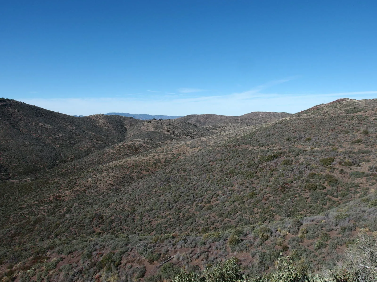
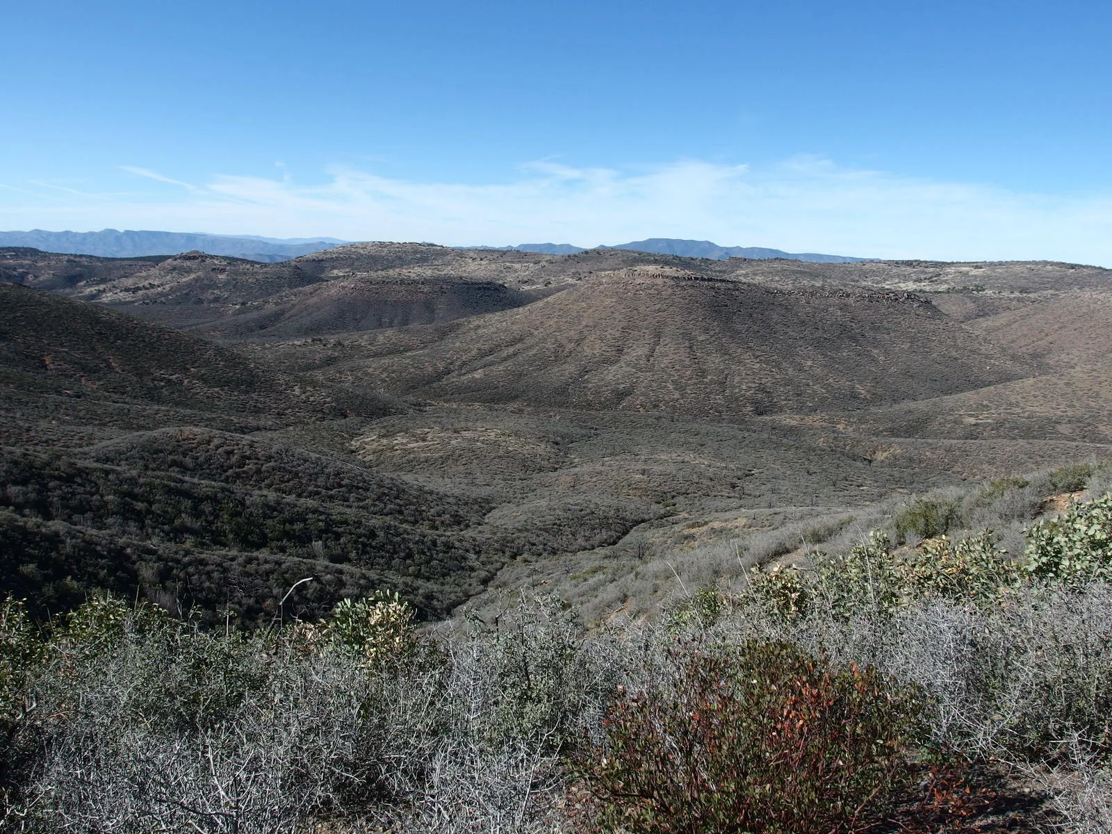
 A barren, damaged basin beyond the saddle
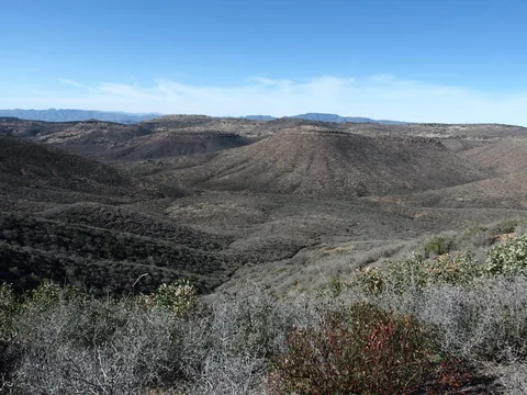 Looking down into Bull Spring Canyon
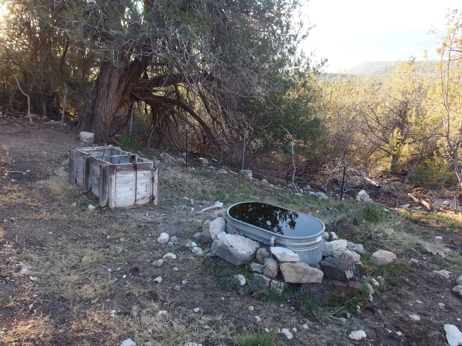
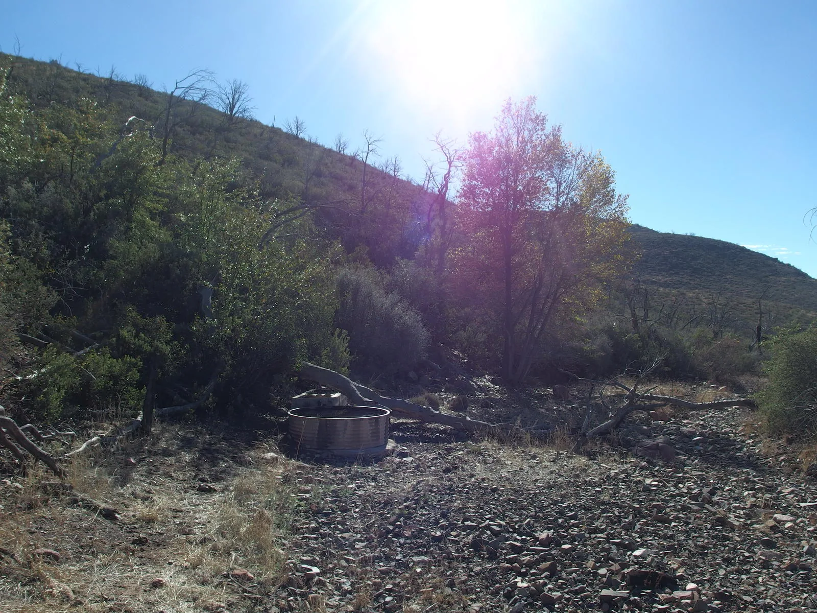
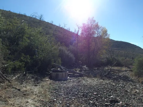 Two troughs at Bull Spring
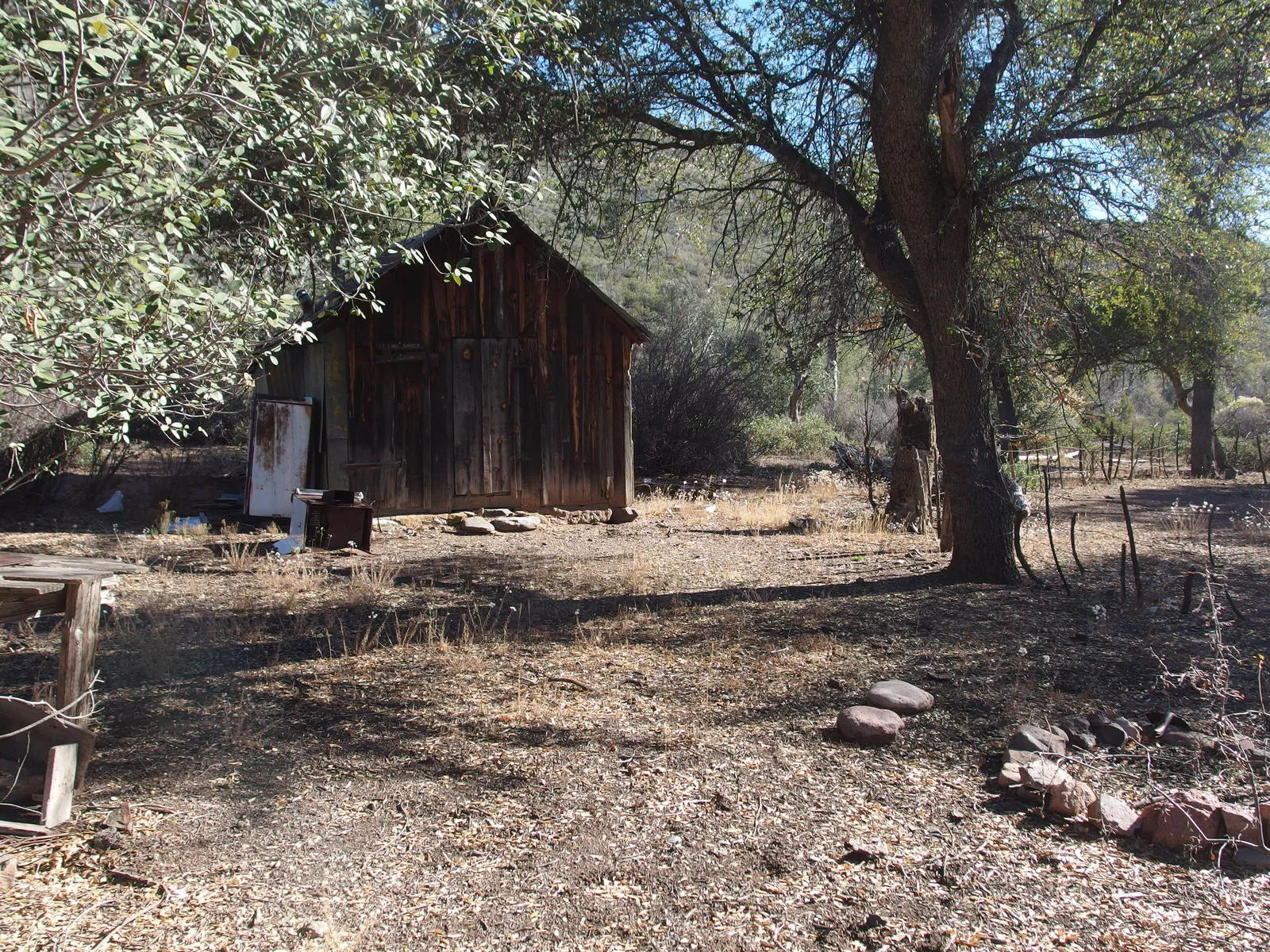
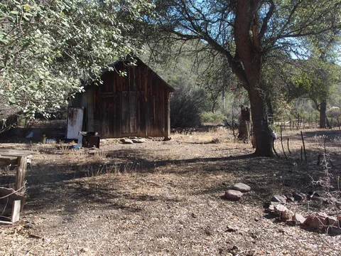 Quaint spot for LF Cabin
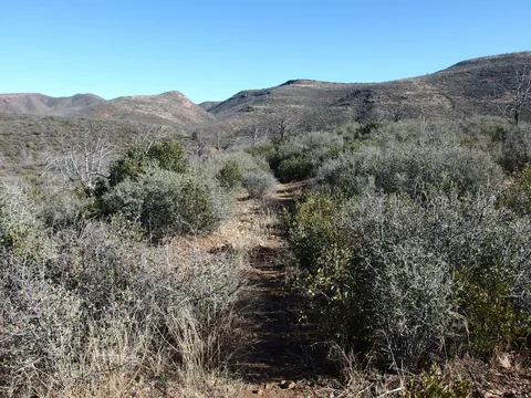 Great tread along Wet Bottom Trail
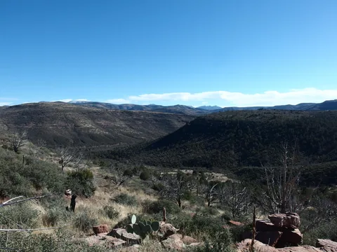 Last view back over Bull Spring Canyon
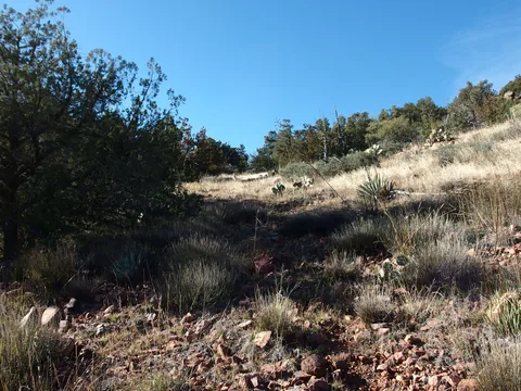 Climbing up out of the last basin
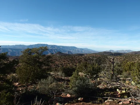 Big views west from the highpoint
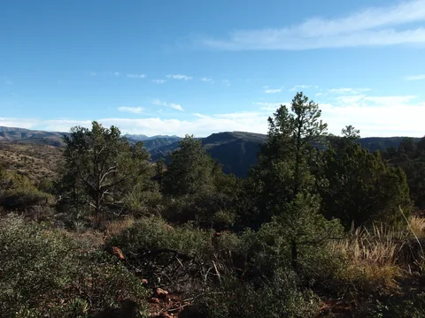 Trees, mountains, and big views
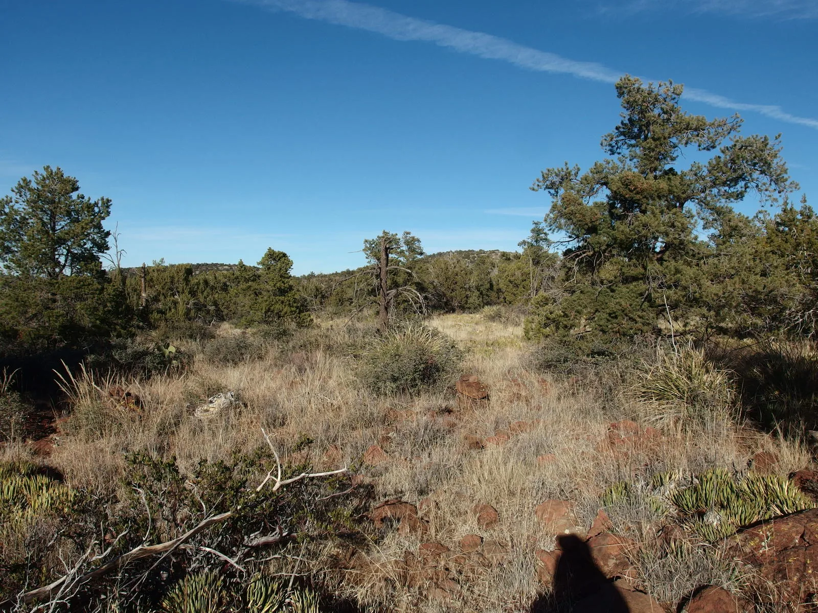
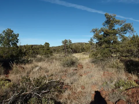 Hard time tracking the trail through the vegetation
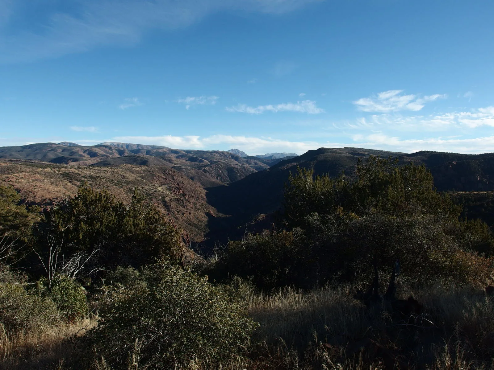
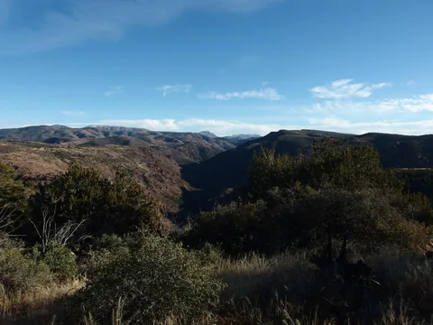 Direct view down the cut of Wet Bottom Creek
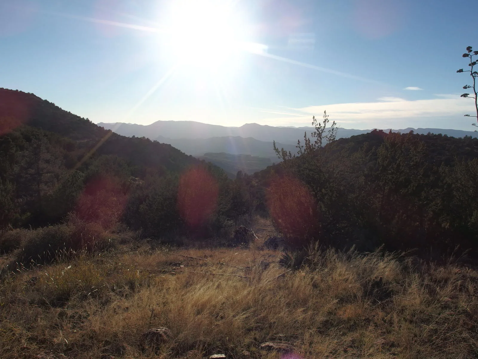
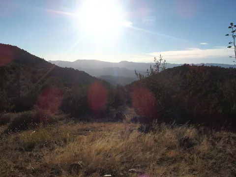 Hot afternoon sun on the mesa below
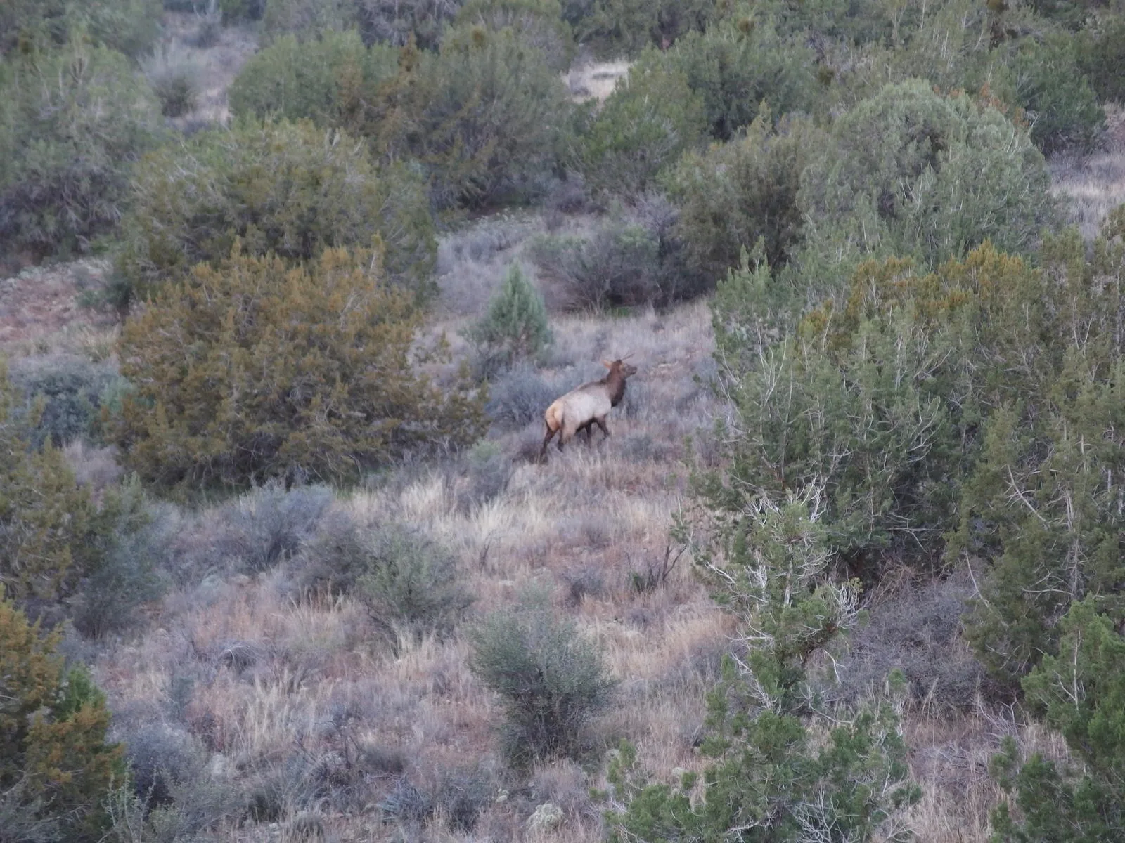
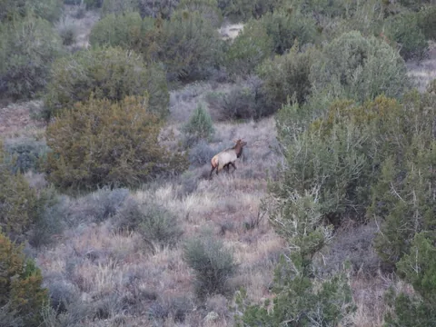 Startled elk ahead
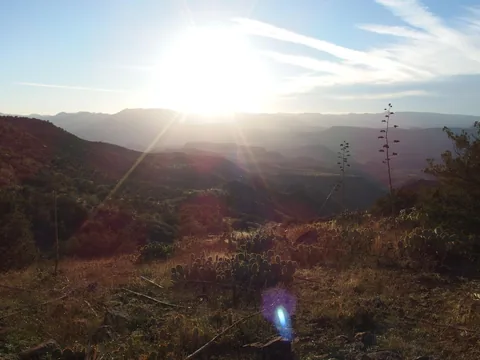 Planned campsite below, seeming impossibly distant
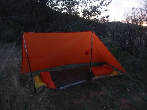 Camp setup for the night
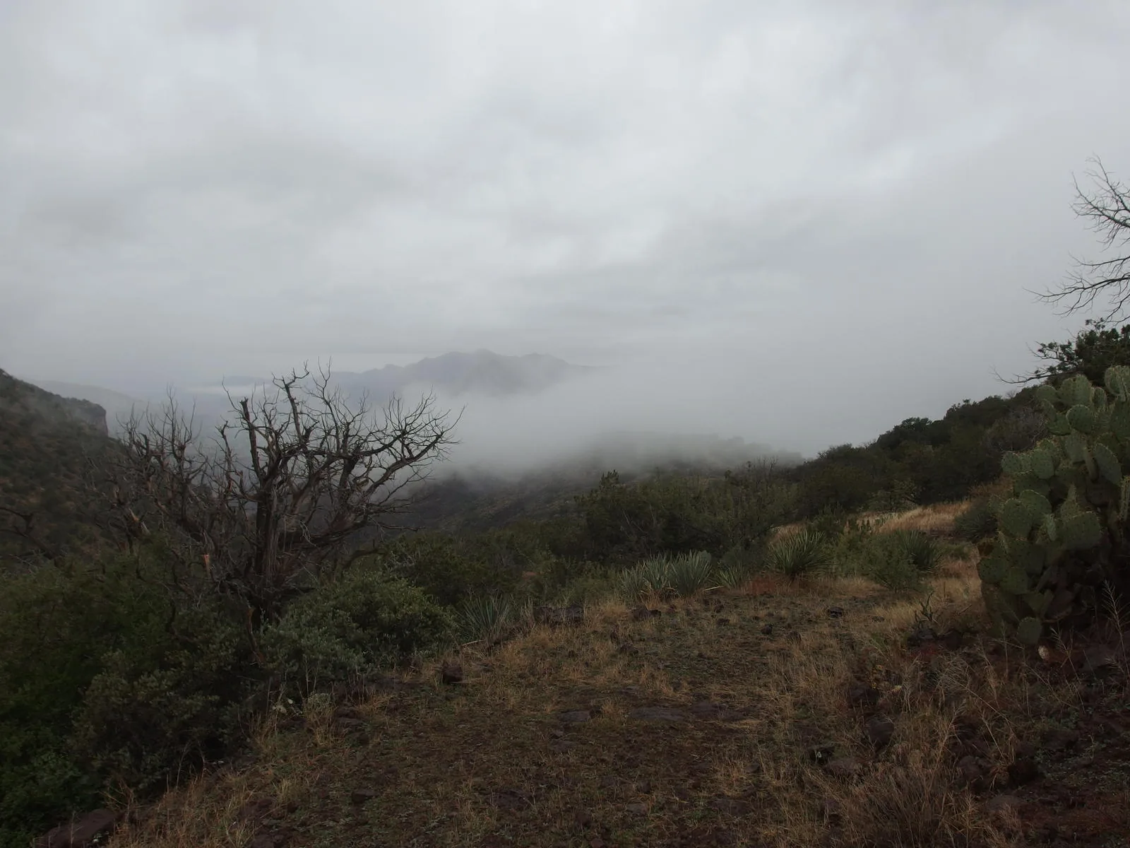
 Gloomy morning skies
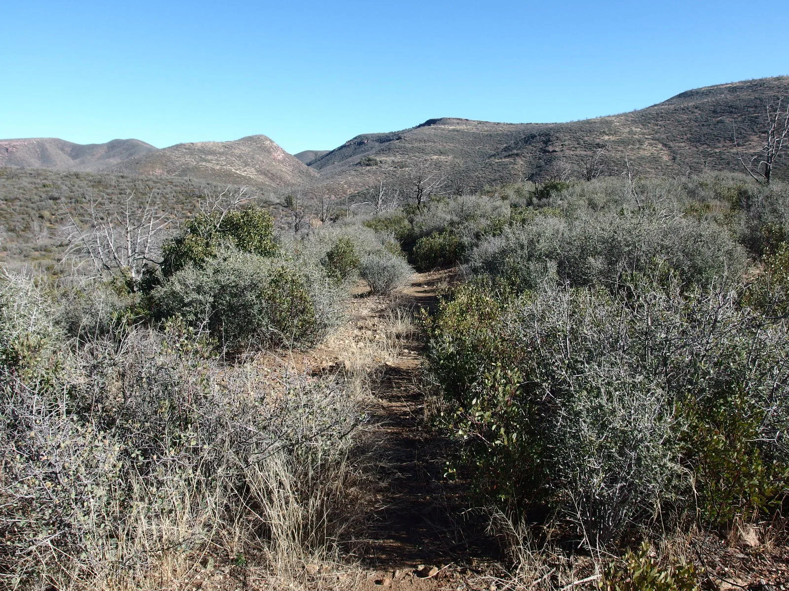
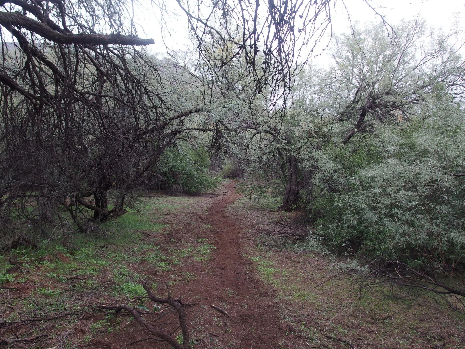
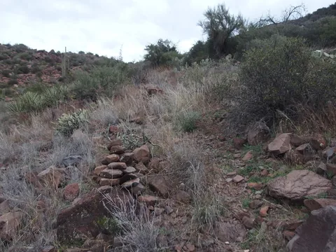 Trail getting easier to follow
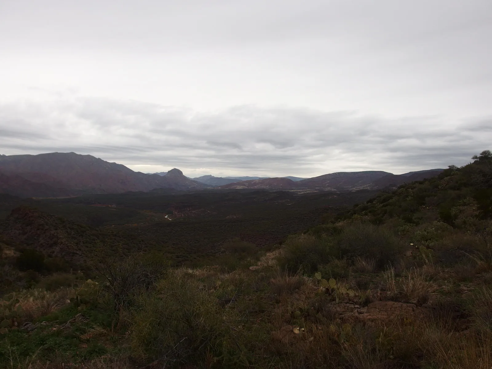
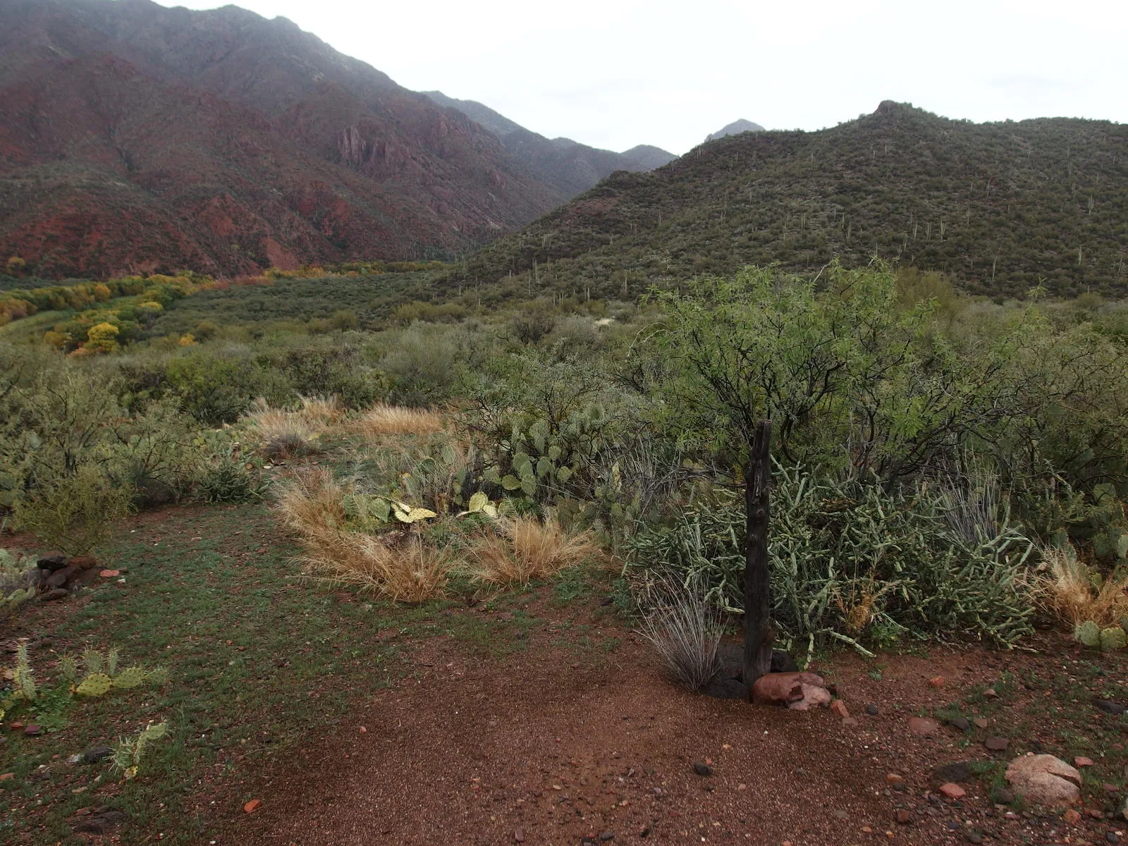
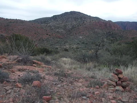 Back at the valley of catclaw and hills beyond
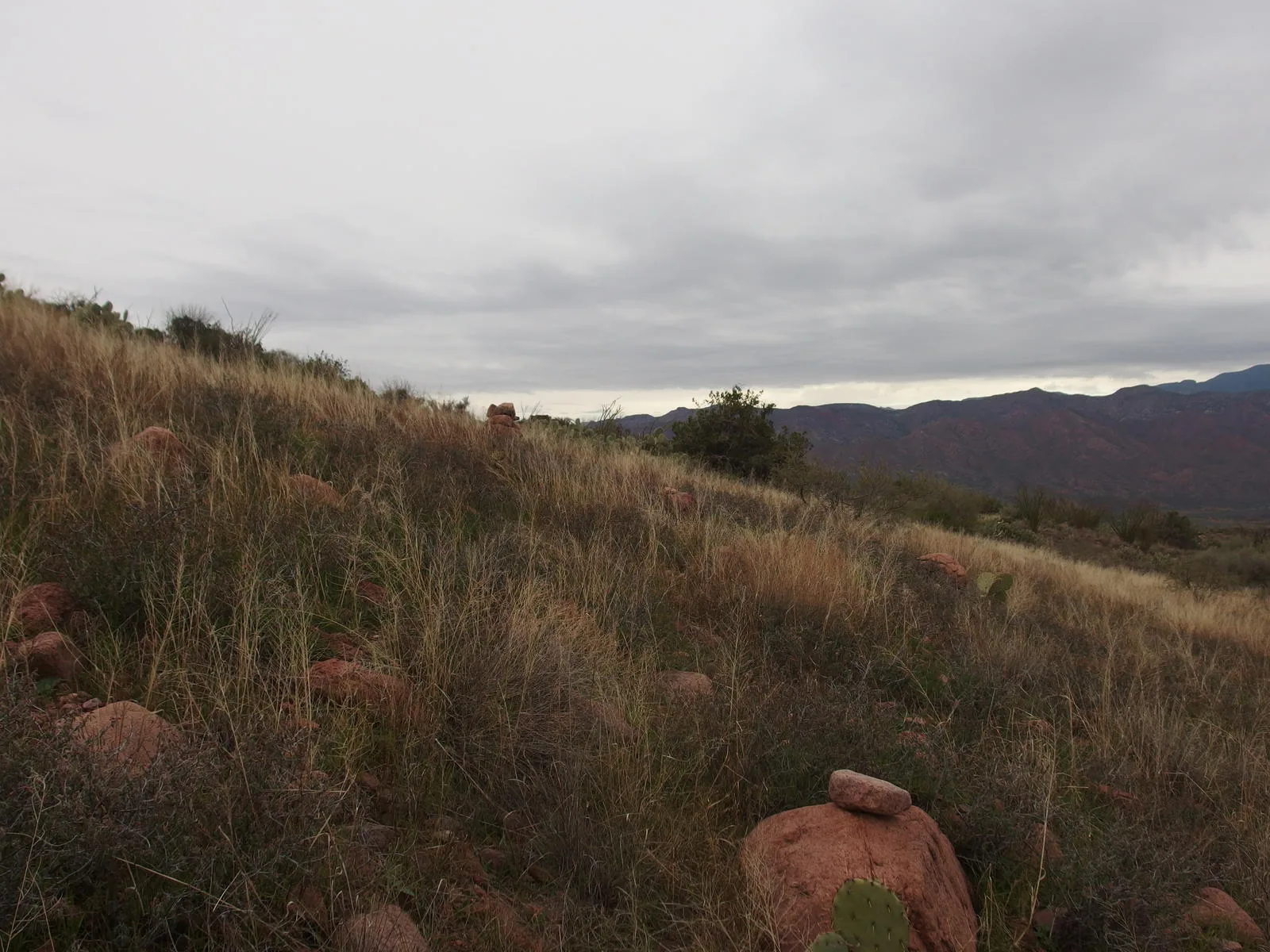
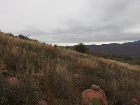 Cairns rising from the grass
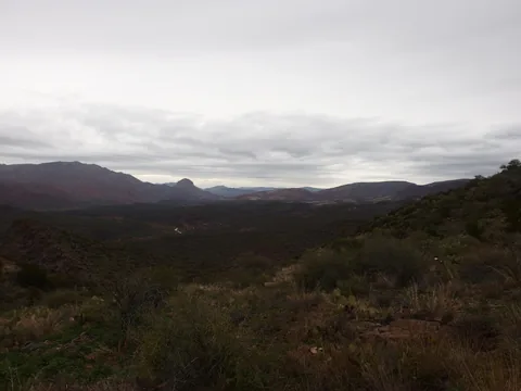 Long way to Squaw Butte
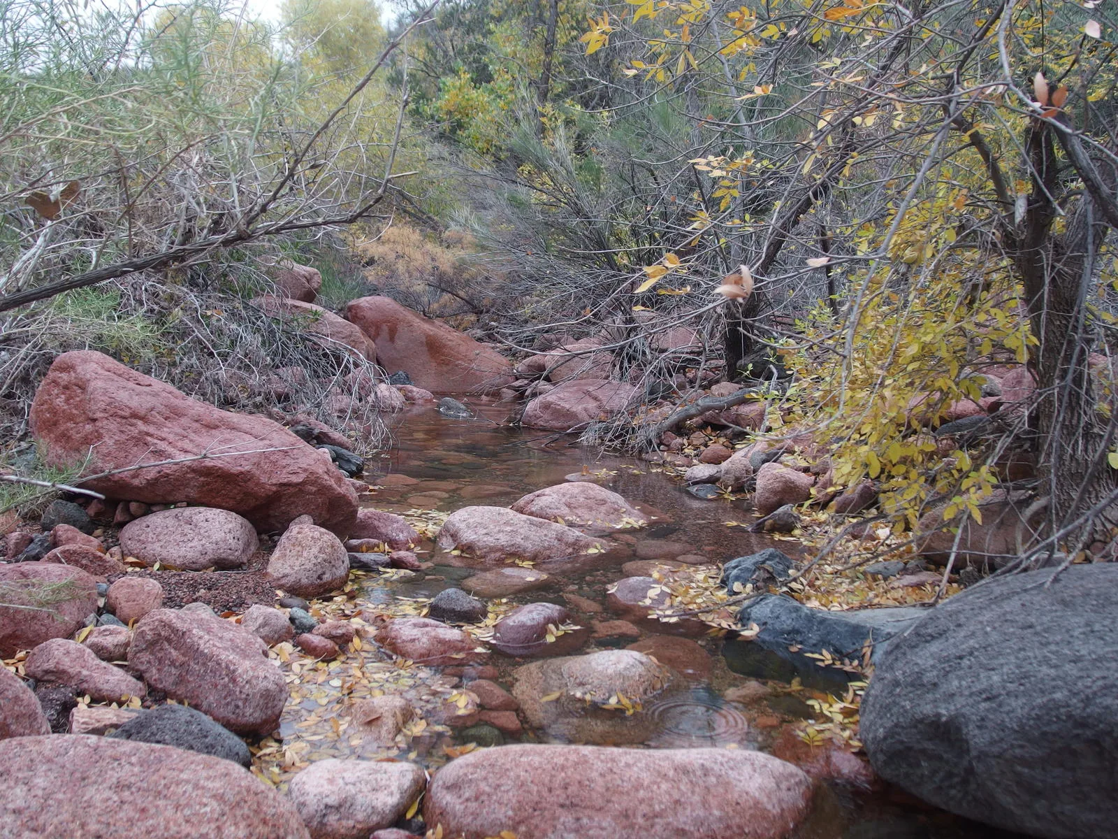
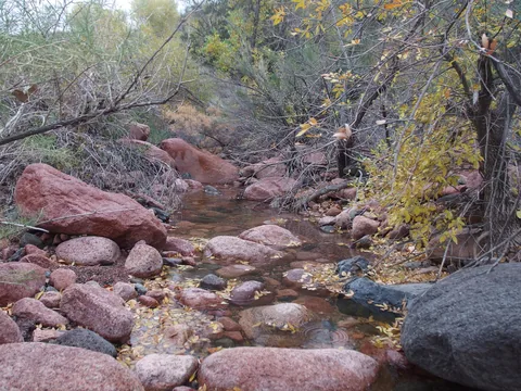 Good water at Canyon Creek
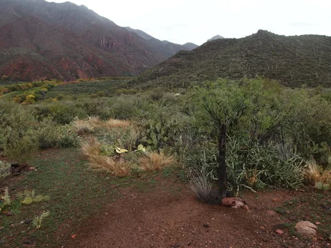 The real junction for Highwater and Verde River
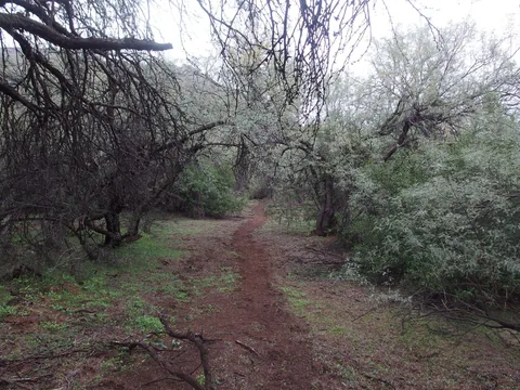 Dreamy walking along the Verde River Trail
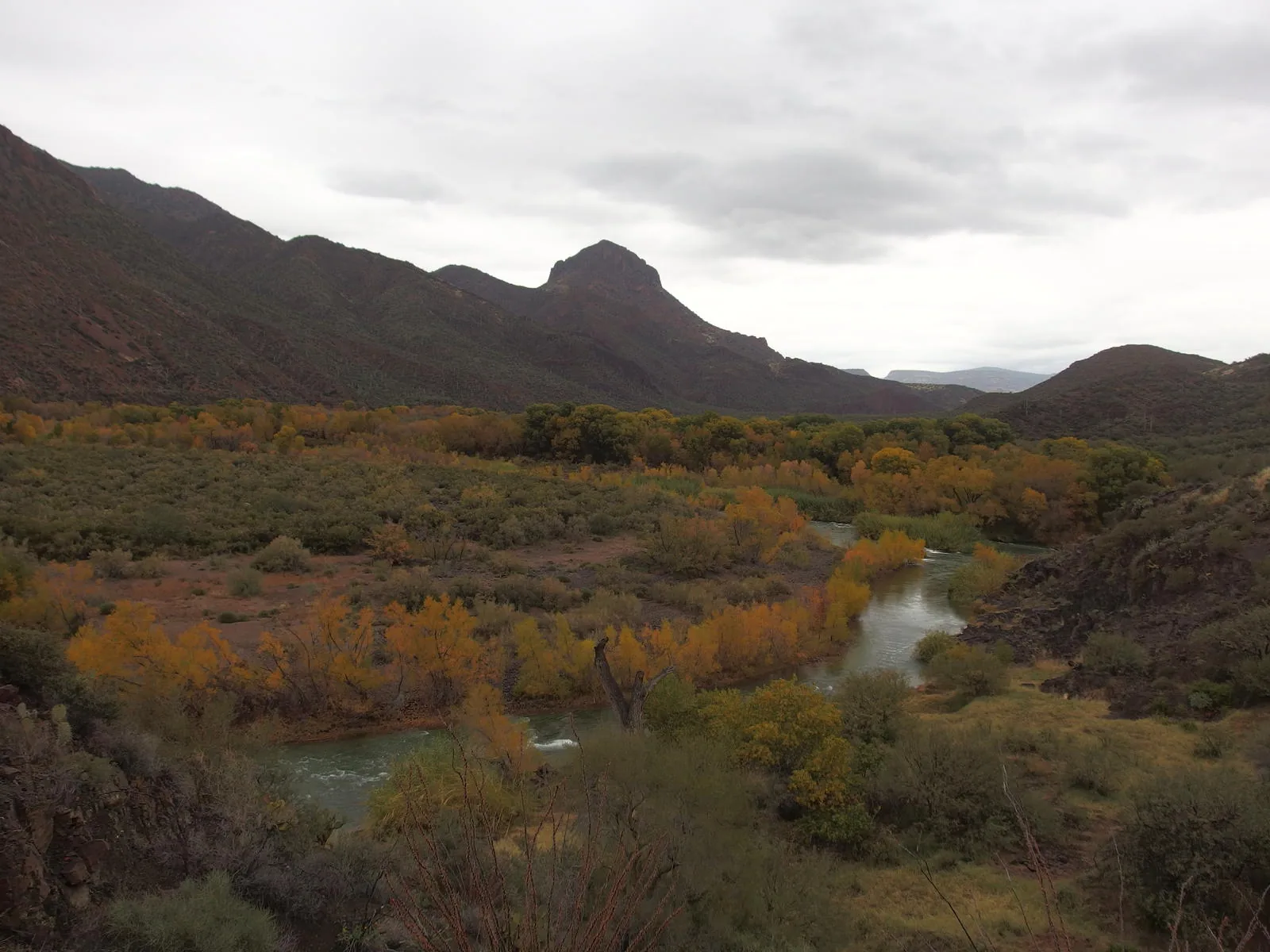
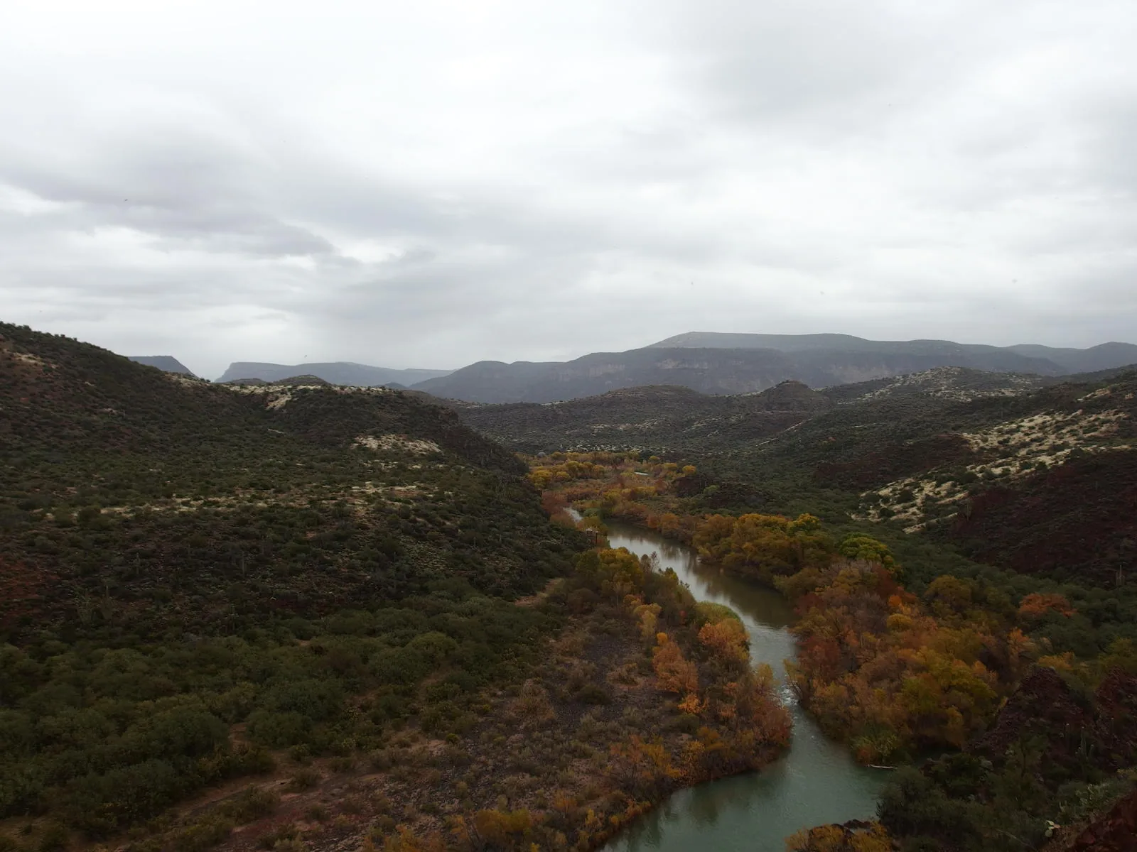
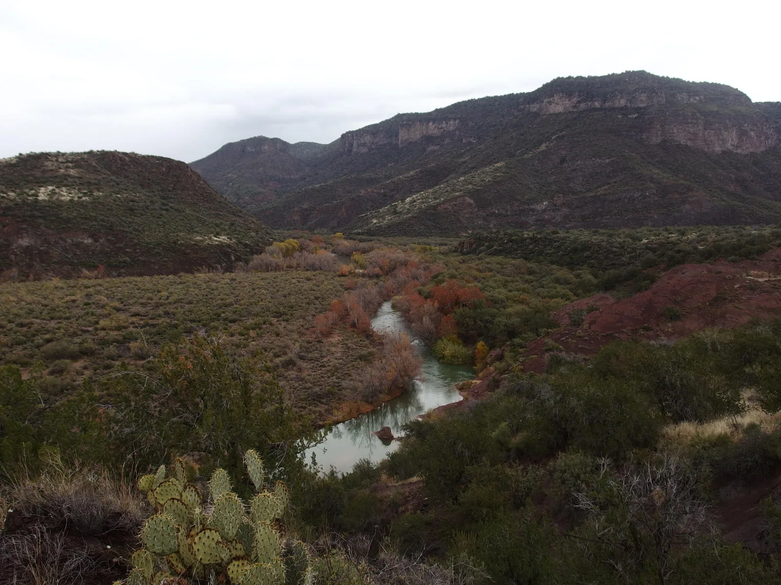
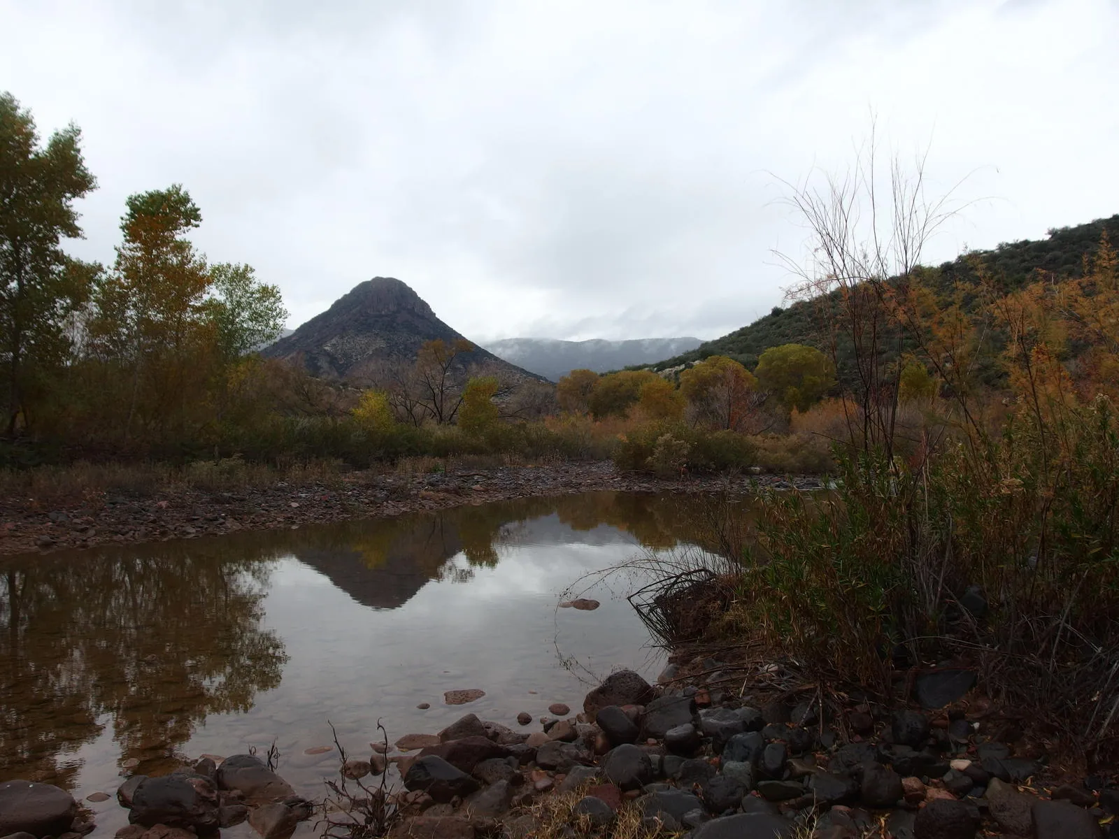
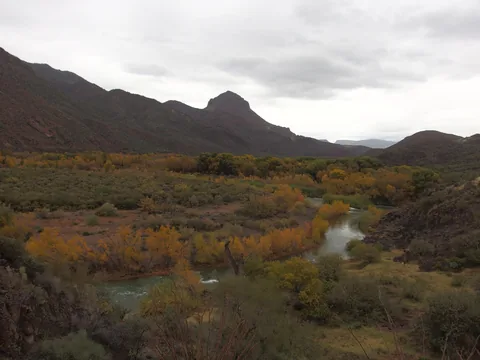 Fall colors on display along the river
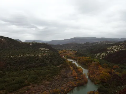 High above the river, scary views ahead
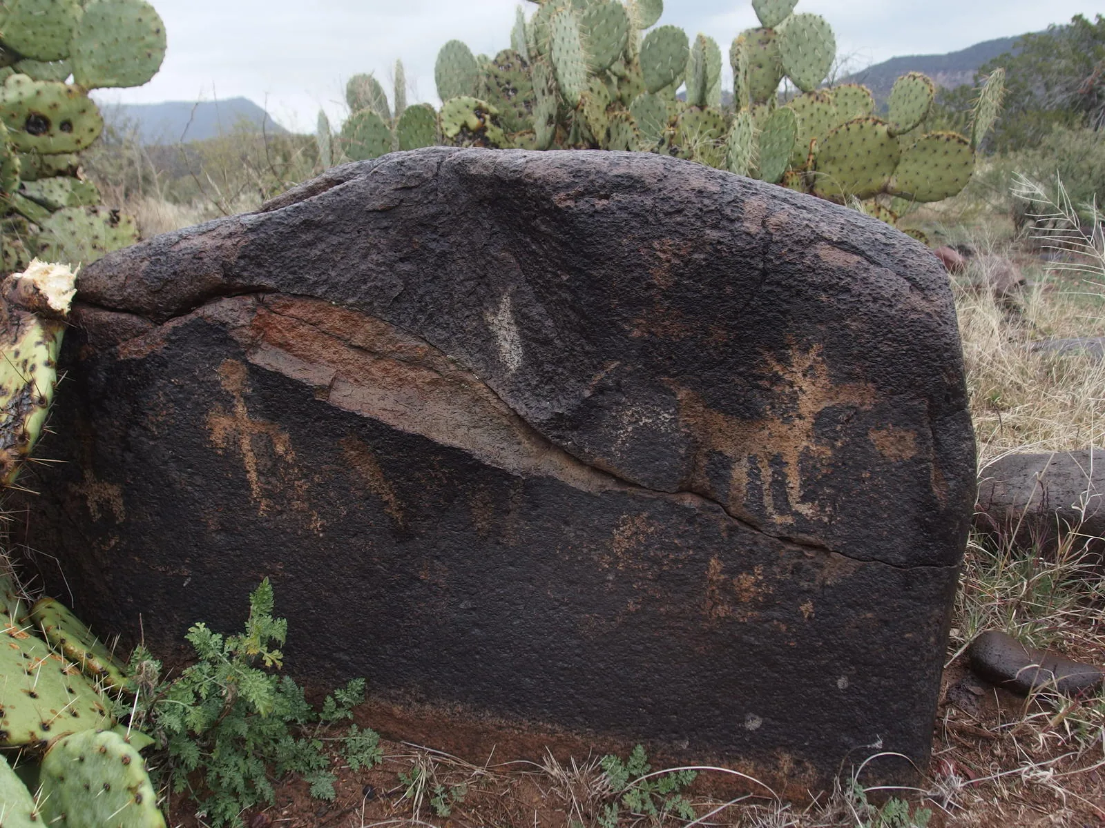
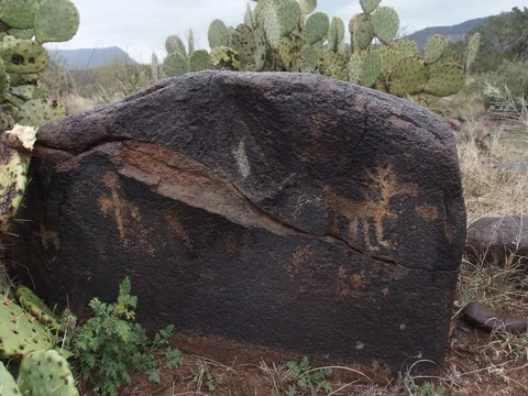 Some surprise petroglyphs along the trail
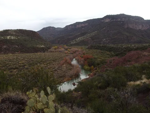 Getting close to the East Verde confluence
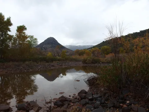 Back at Squaw Butte from beyond East Verde River
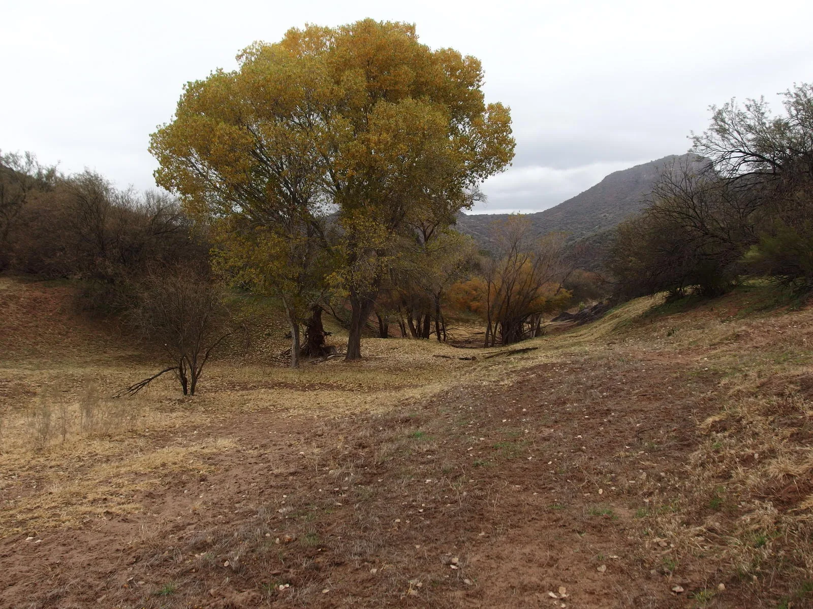
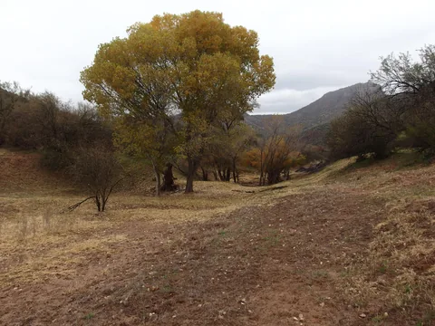 Huge, pleasant trees down here
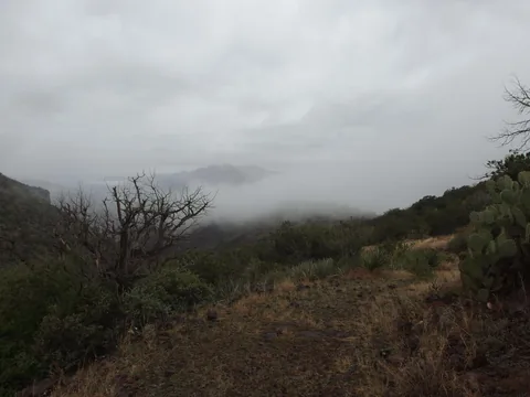 Low clouds drifting into the Verde
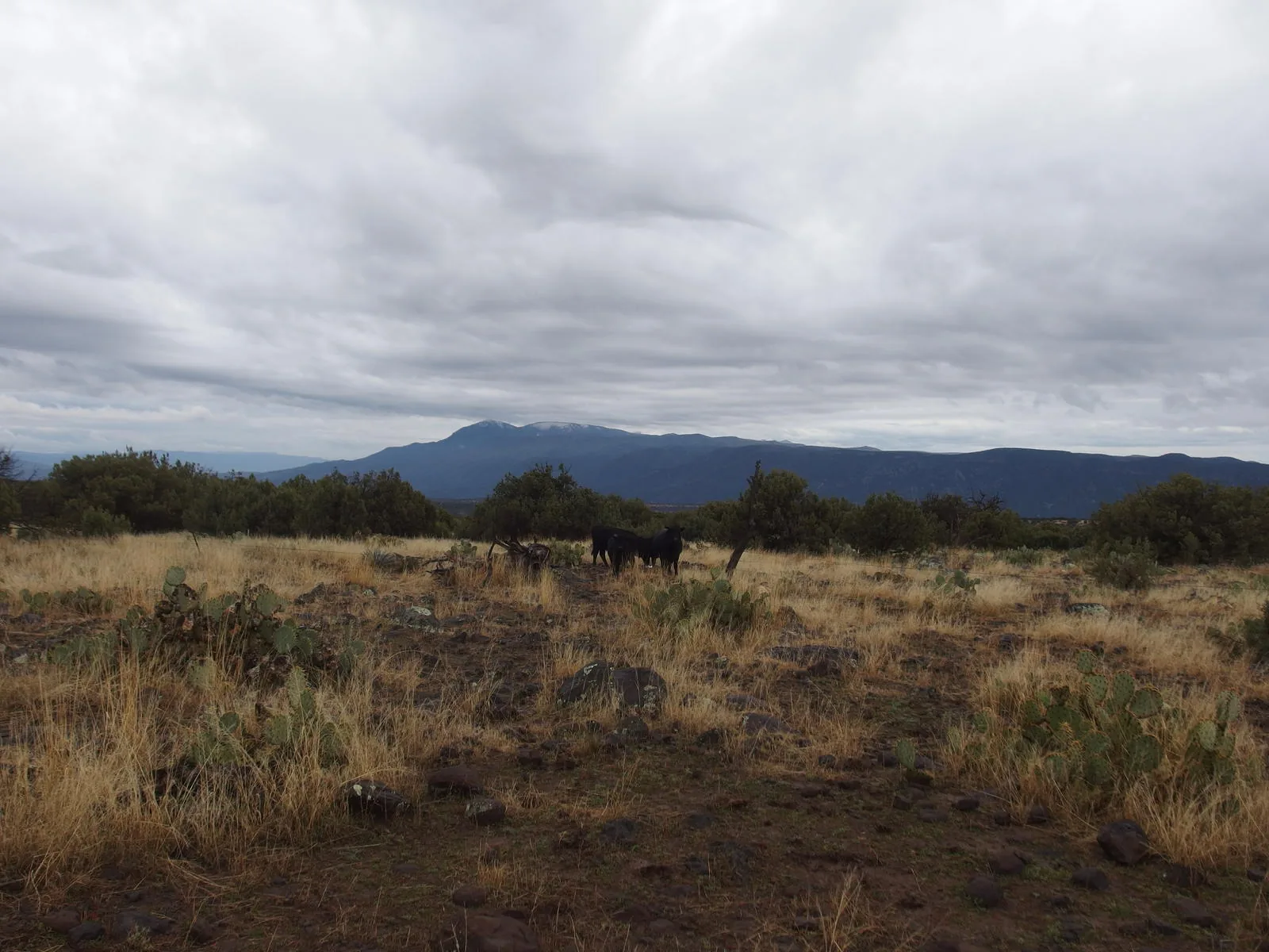
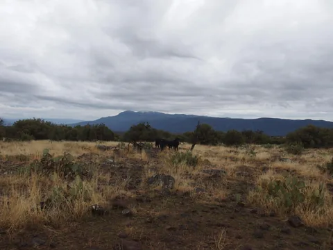 Long view back at North Peak
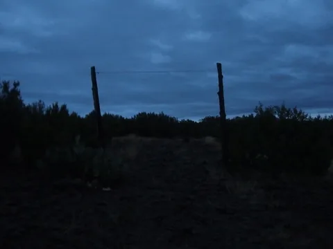 Day is dying
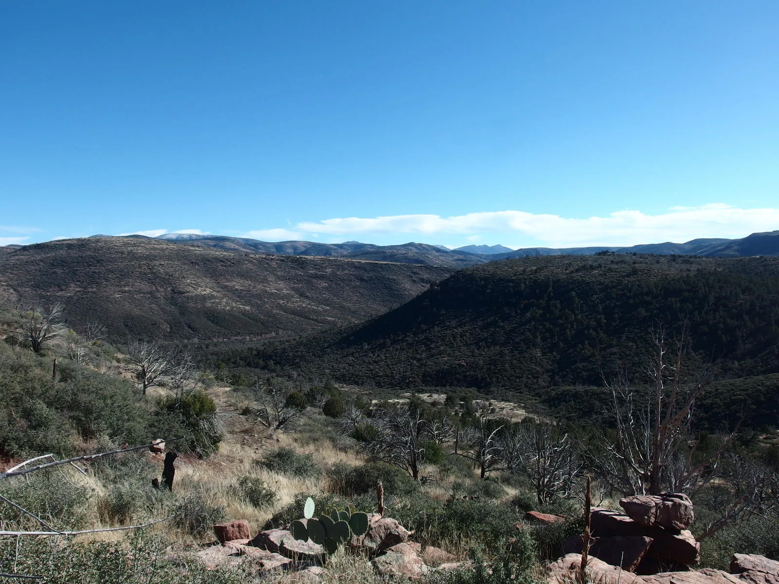
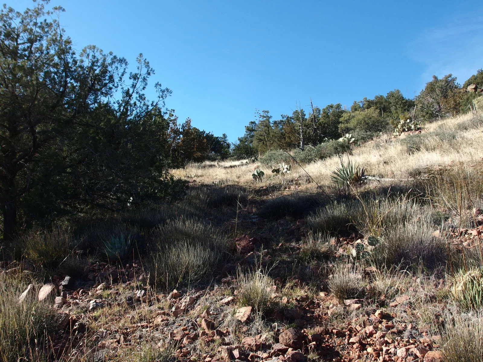
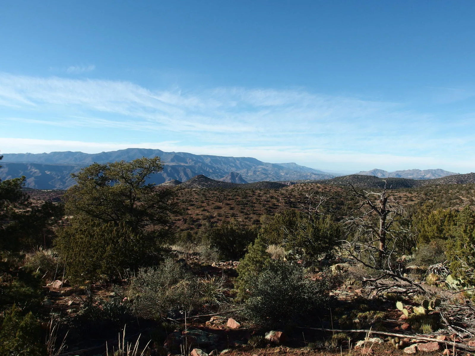
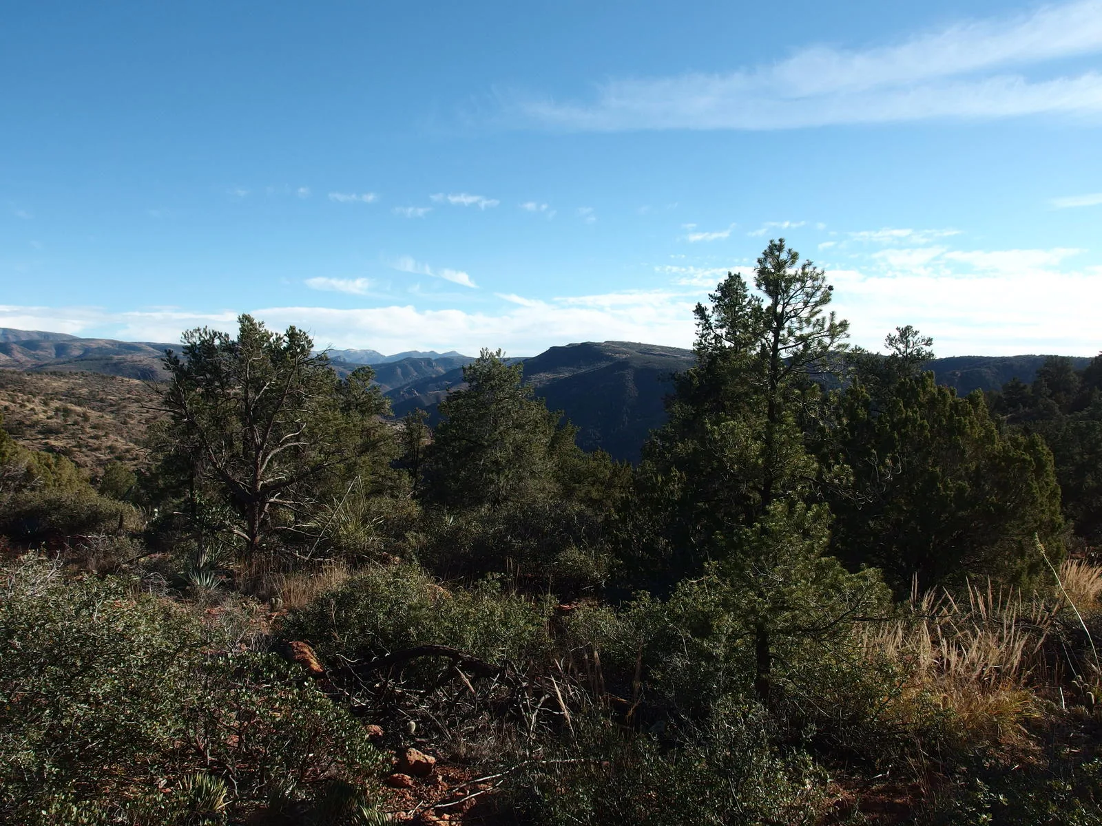
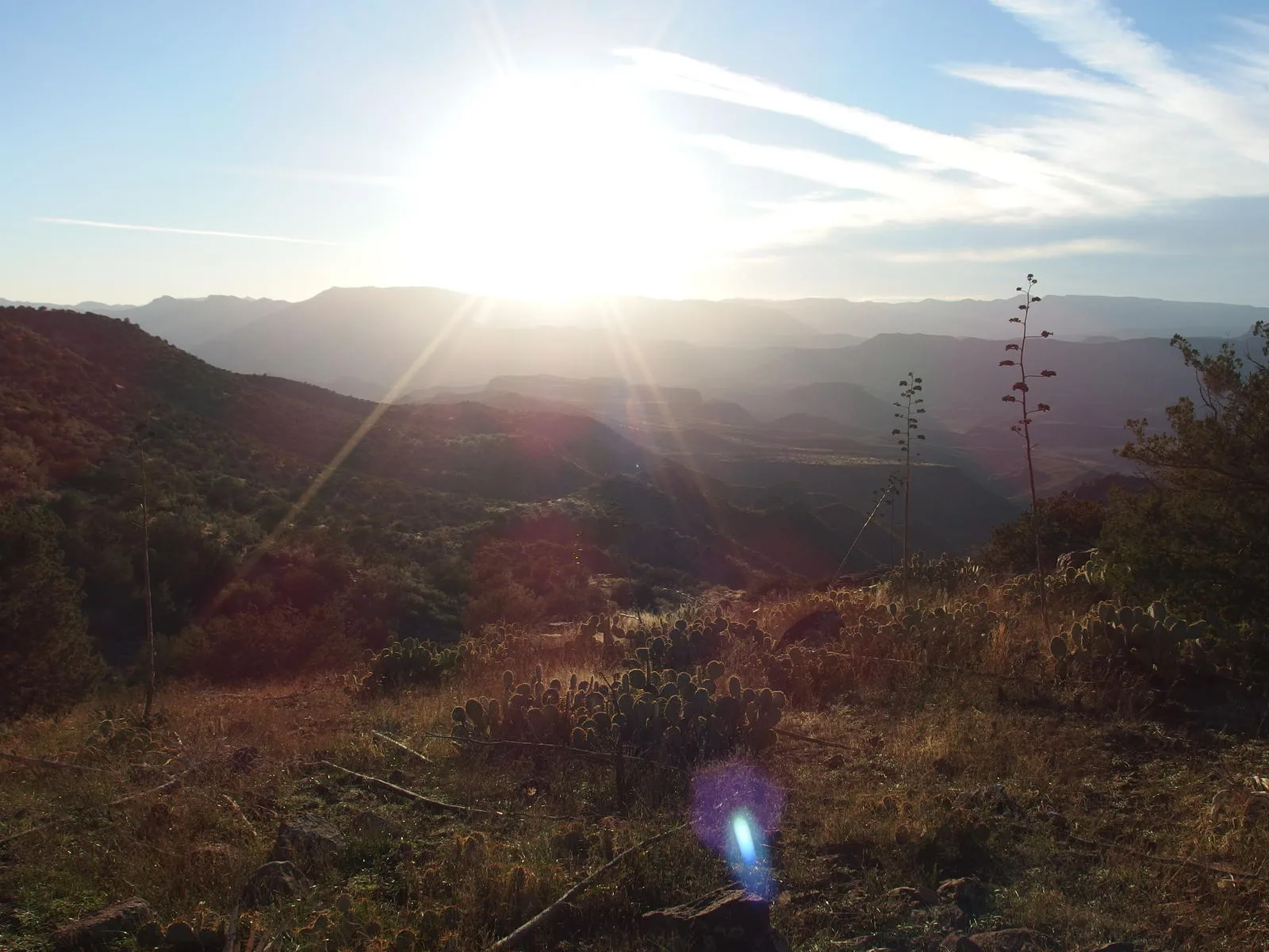
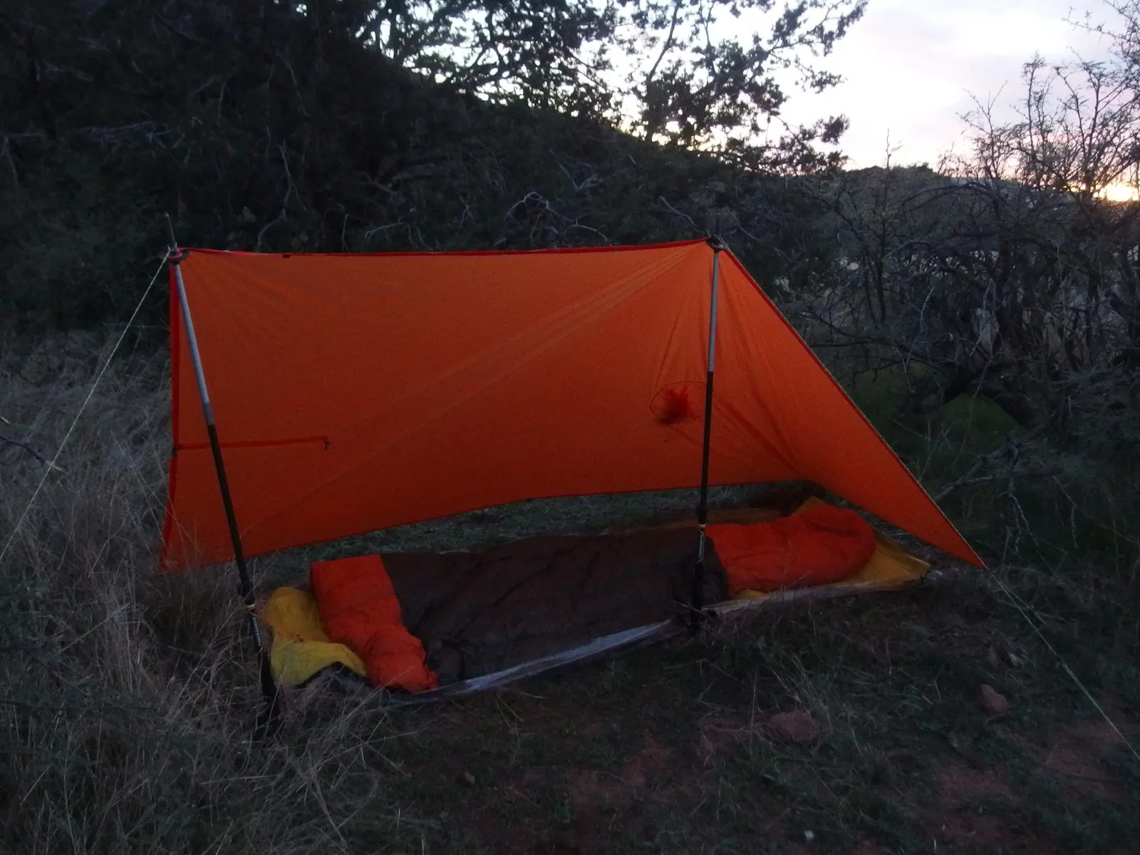
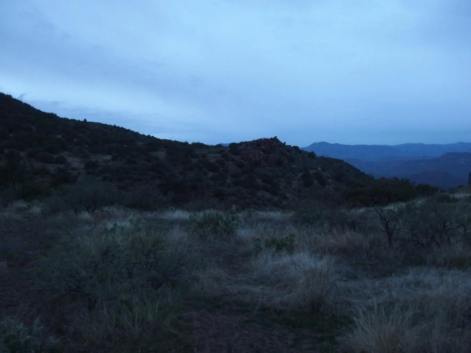
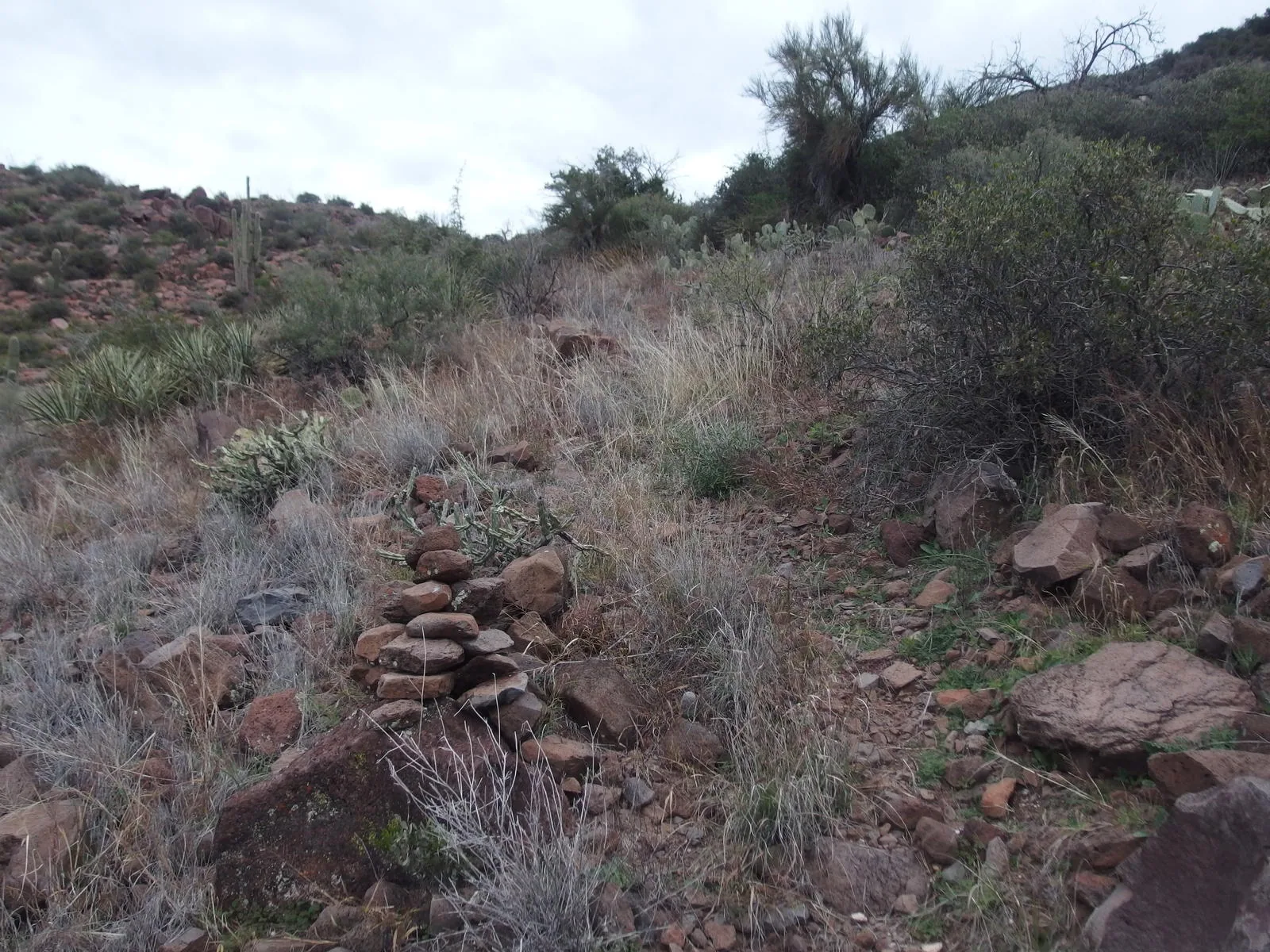
Along the way
Spring 3
- Whiterock Spring
- Polk Spring
- Bull Spring
Creek 2
- East Verde River crossing (Saddle Ridge Trail)
- Canyon Creek
Shoreline 1
- Confluence of the East Verde and Verde Rivers
Saddle 1
- Bull Spring Saddle
Ruin 1
- LF Cabin
Ranch 1
- LF Ranch
Junction 3
- Highwater / Wet Bottom Trail Junction
- Deadman Mesa Trail junction
- Bull Spring Trail junction (signed)