Thunder River Loop
28 mi6,943 ft
7,201 ft
1,939 ft
Classic loop that includes Thunder River and Deer Creek, with a minor twist. Starts from Indian Hollow, takes Thunder River Trail all the way down along Tapeats River, uses a connector along the Colorado River to reach Deer Creek, then follows that trail up to Surprise Valley and climbs out via Bill Hall Trail. Done as a day hike.
Photos
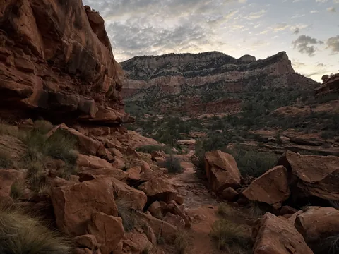 Early light on Monument Point
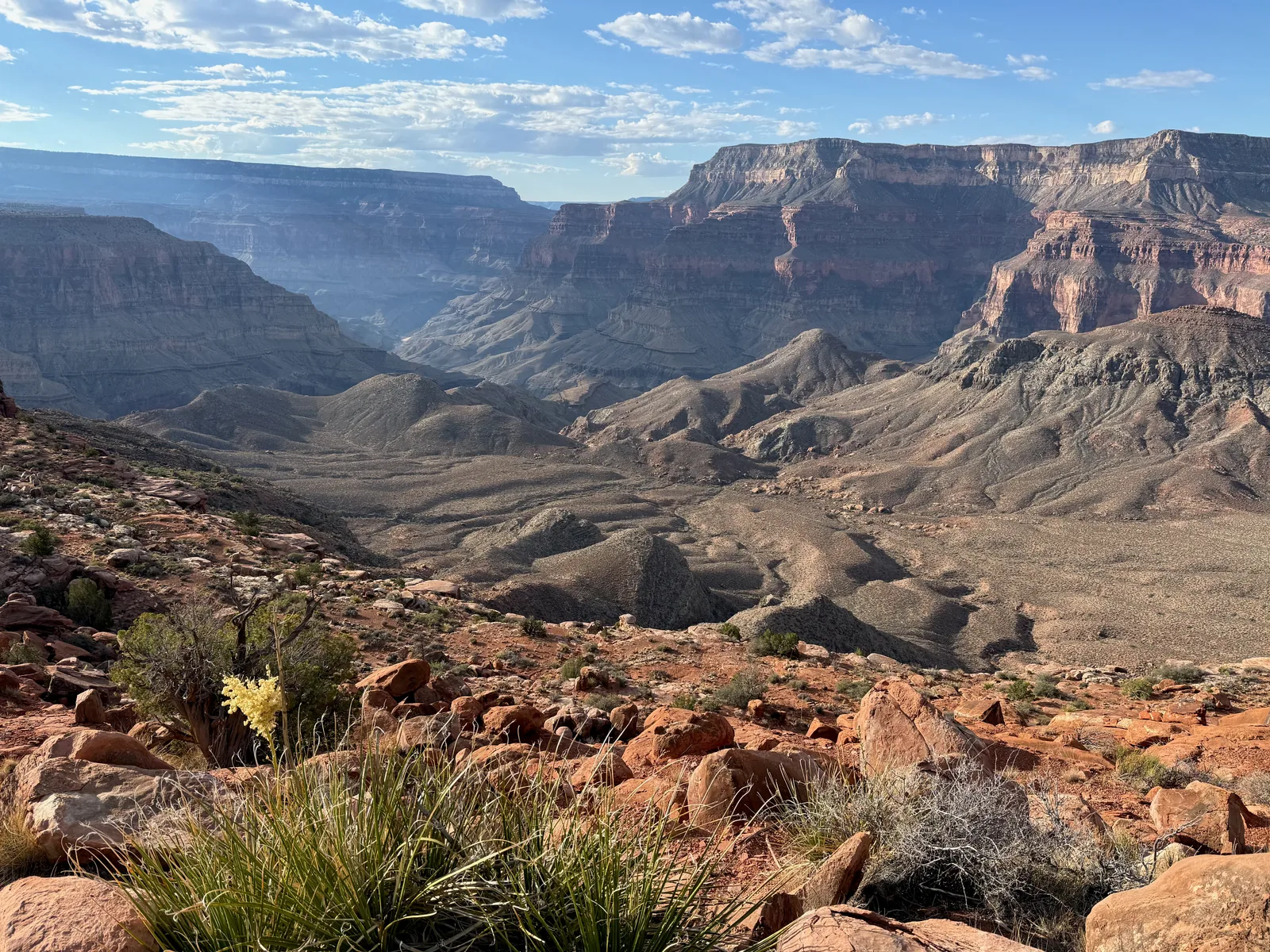
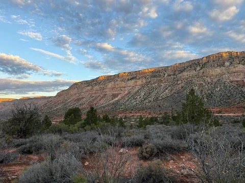 Wondering how exactly I got down here
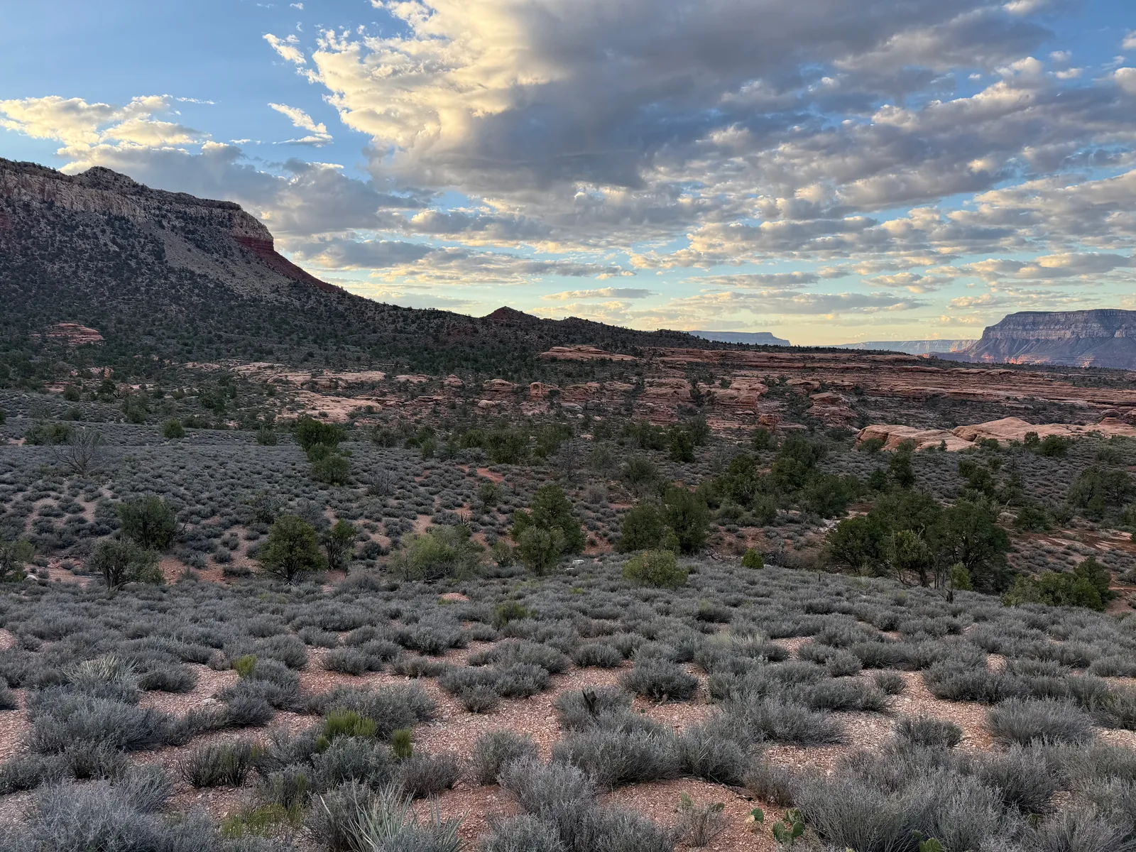
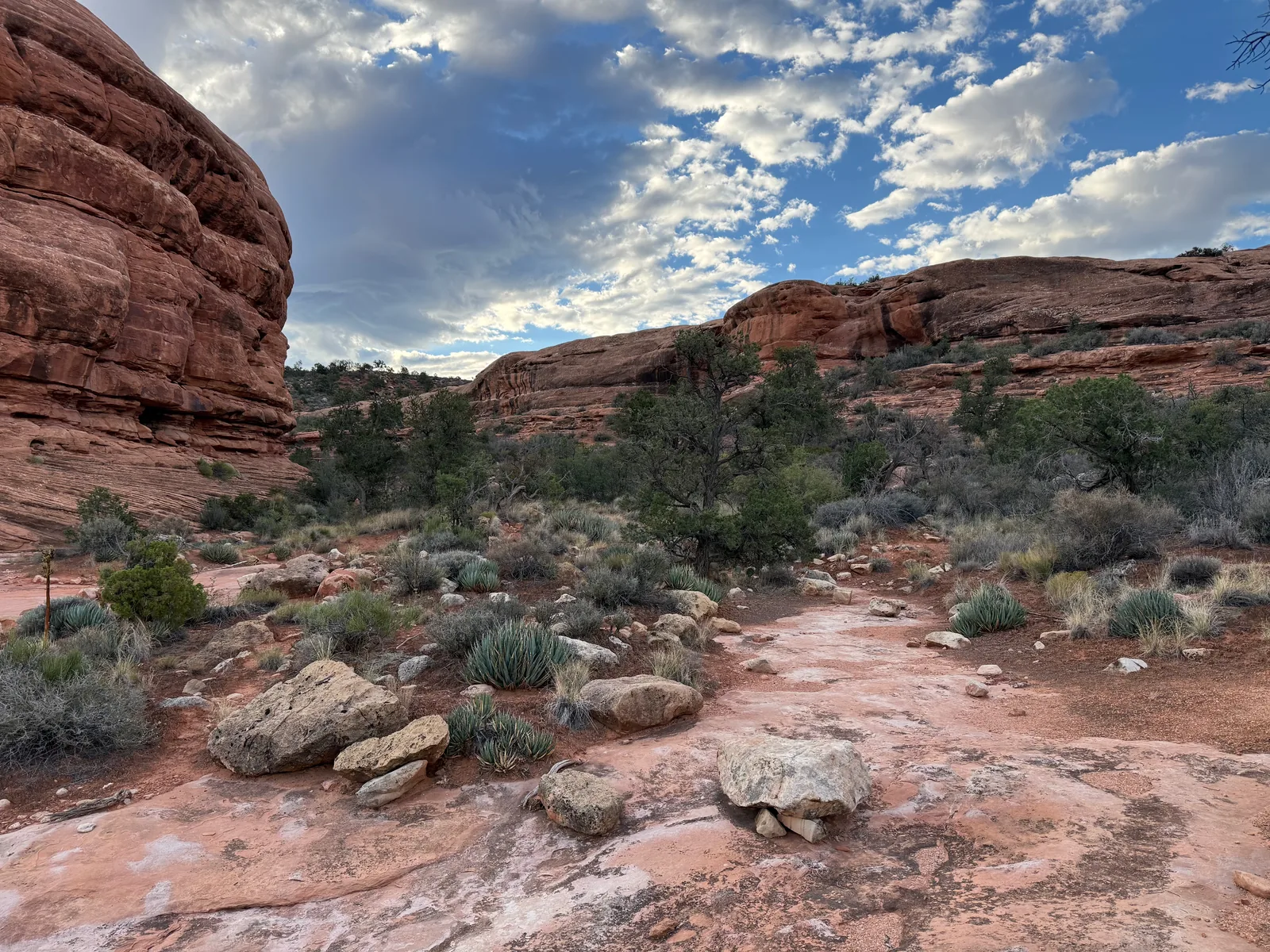
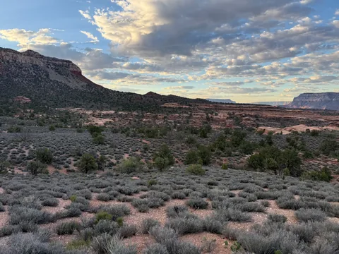 Trying to pick out the trail across the Esplanade
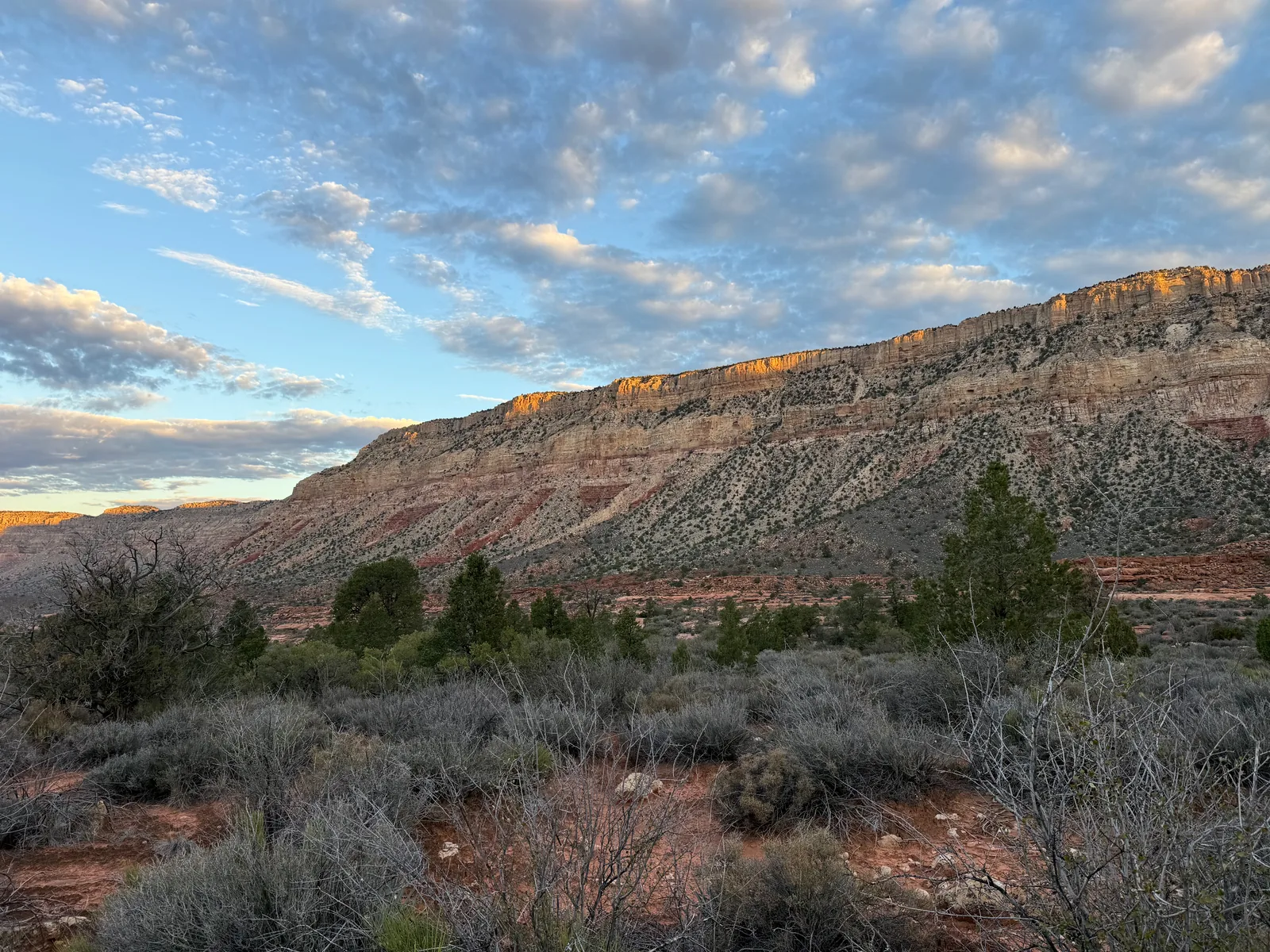
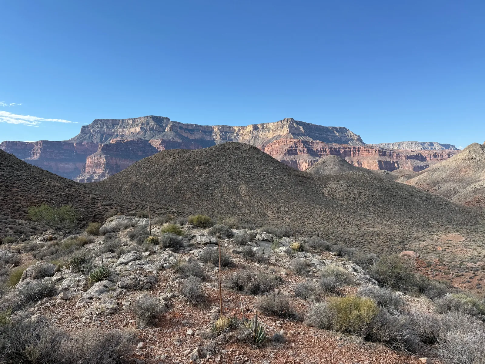
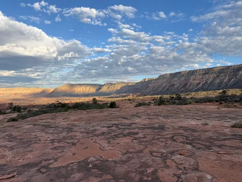 Out on the Esplanade, gazing west along the rim
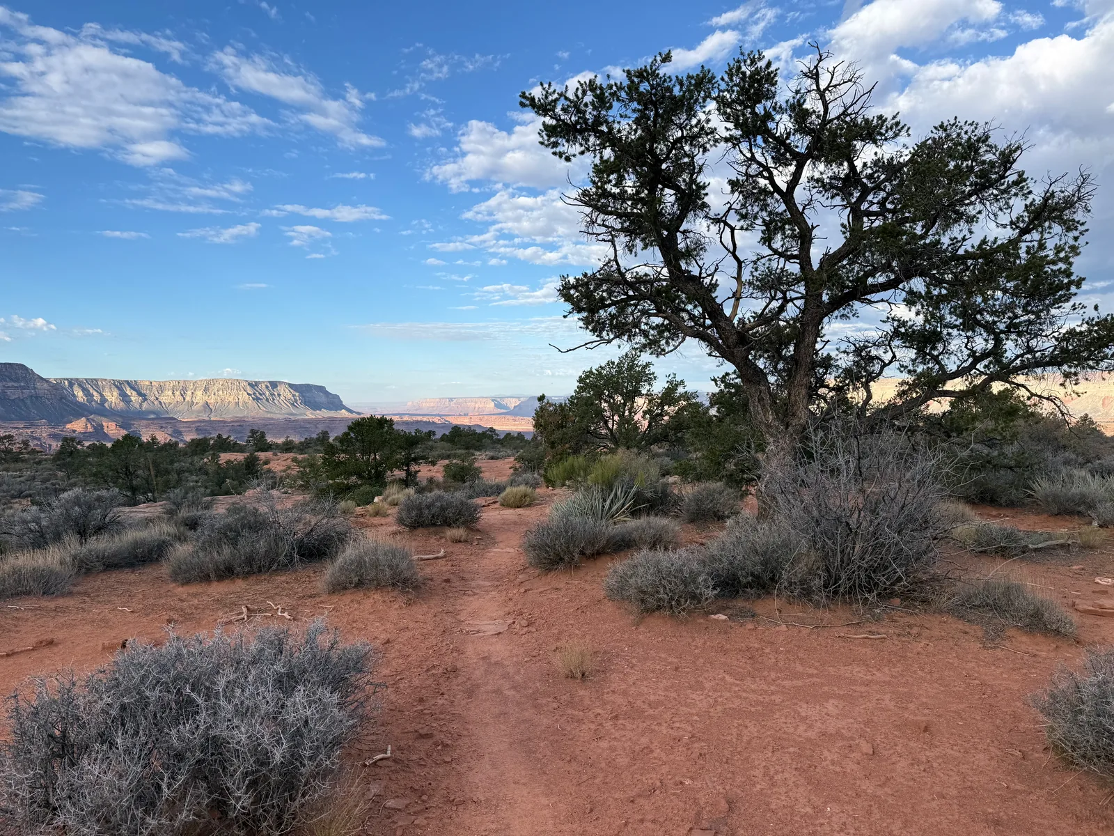
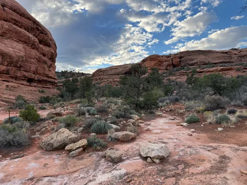 Morning at a juniper copse
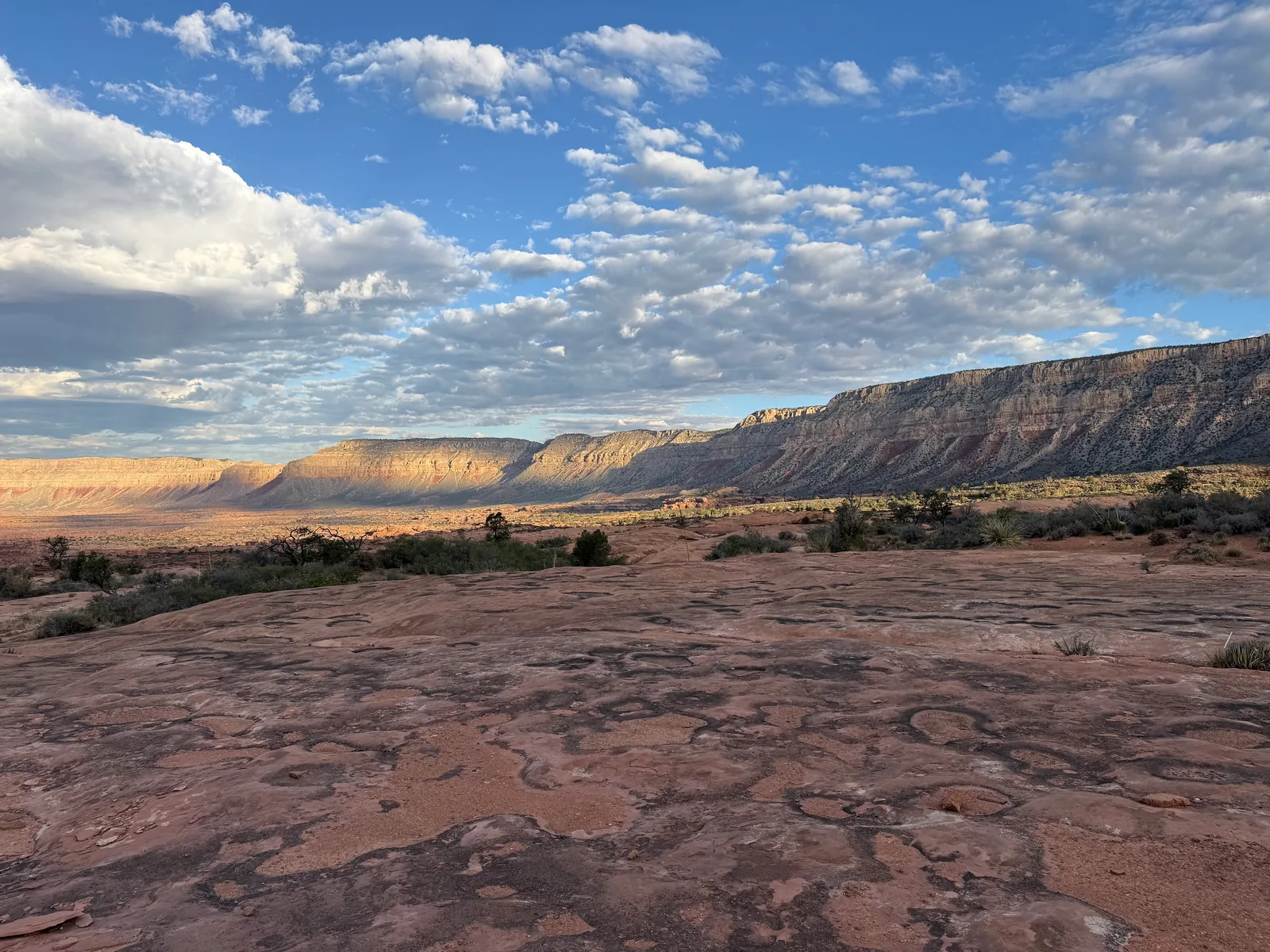
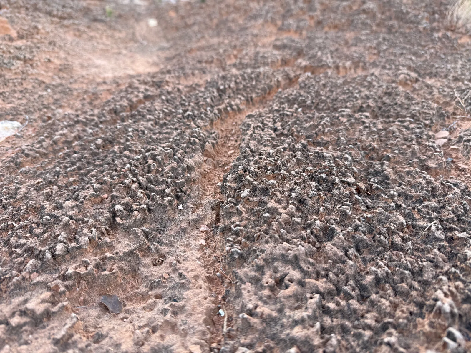
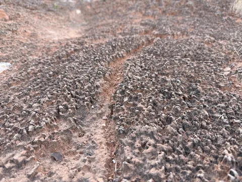 The weird cryptobiotic soil on the Esplanade
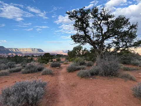 Juniper for company out on the Esplanade
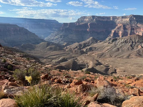 Surprise Valley opening up below
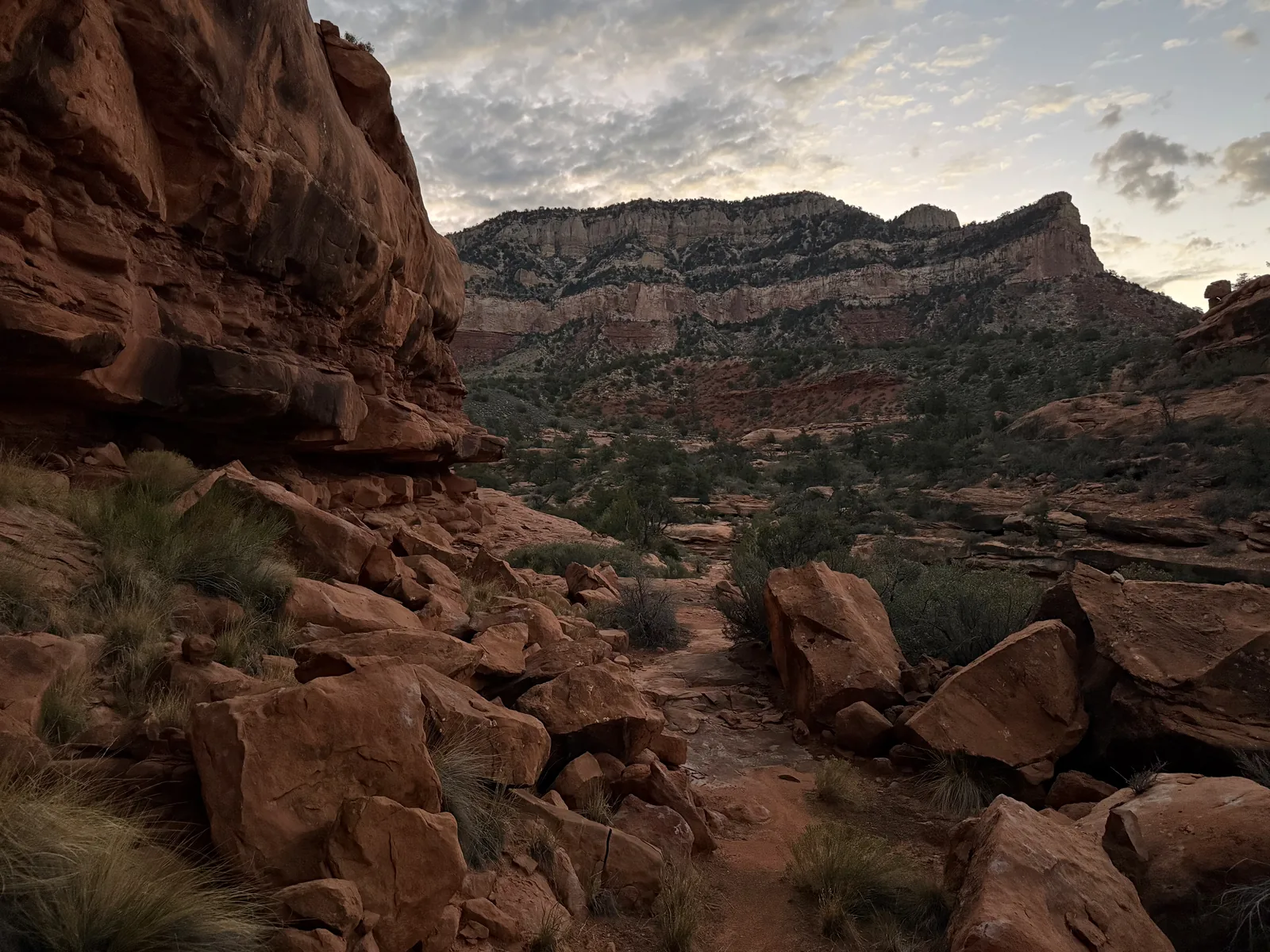
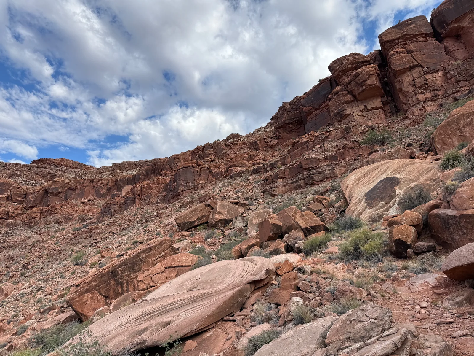
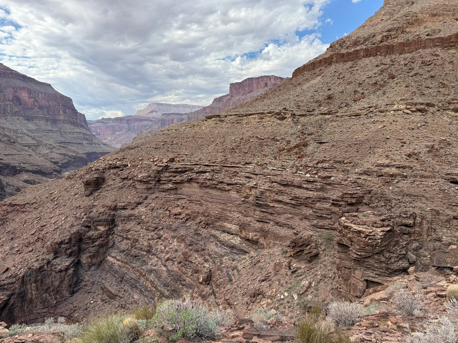
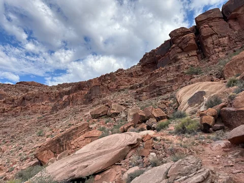 Along the red ledges that drop down towards Surprise Valley
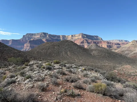 Entering Suprise Valley and the rolling hills
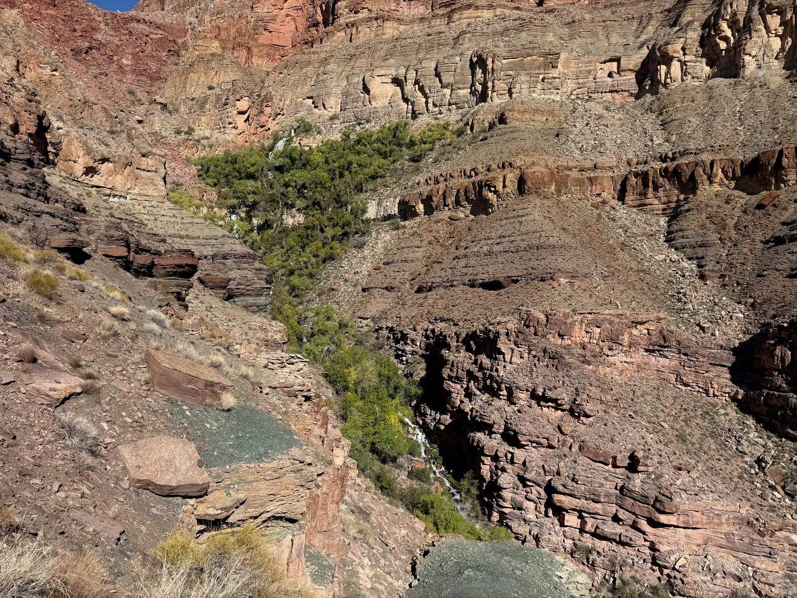
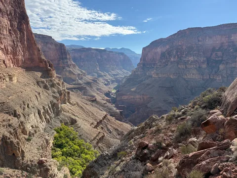 First look down at Thunder River's cottonwoods
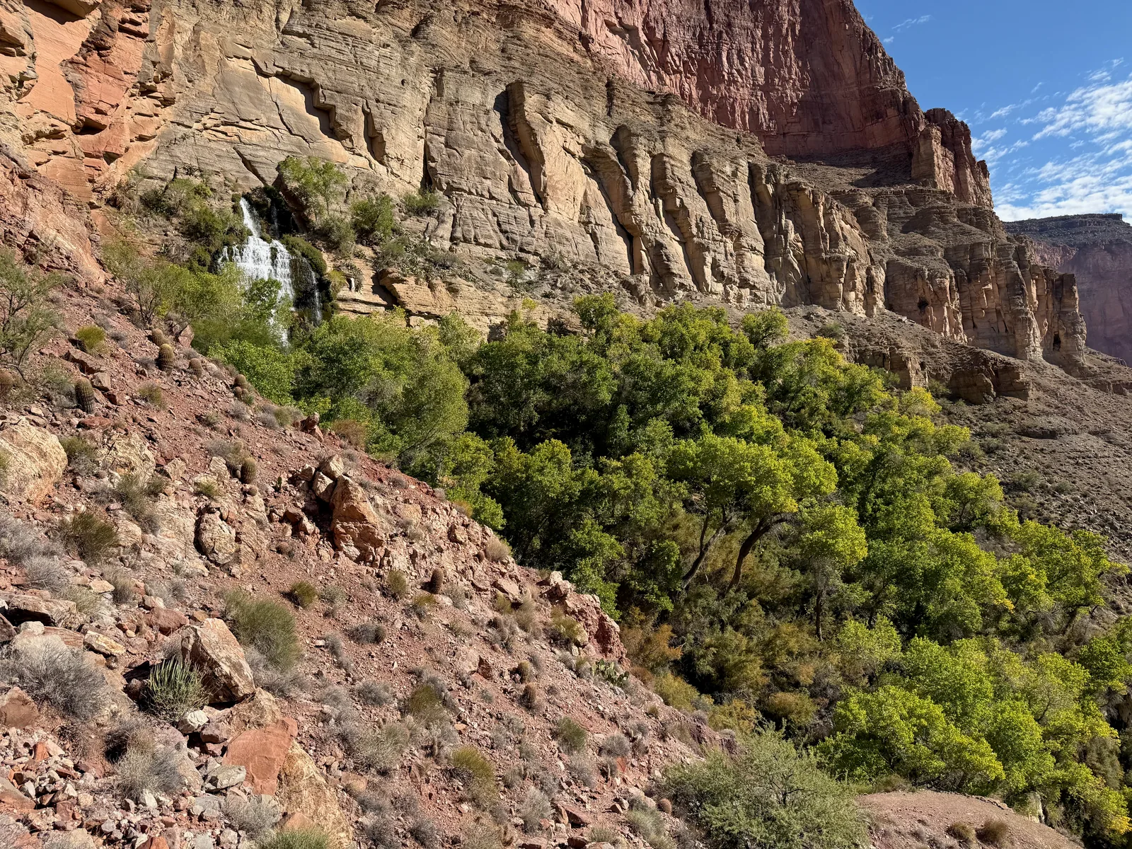
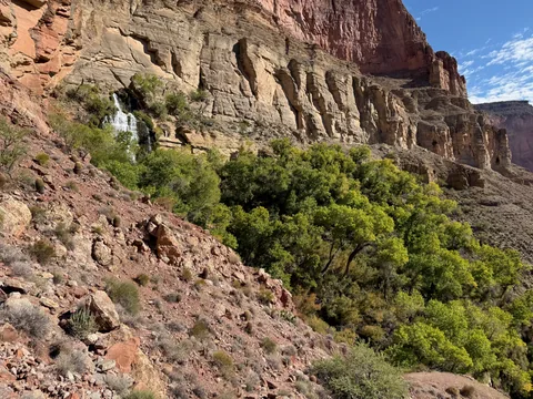 Thunder River bursting straight out of the cliff
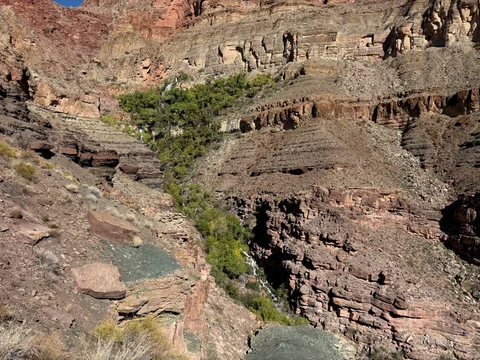 Thunder River falling the whole way down to Tapeats Creek
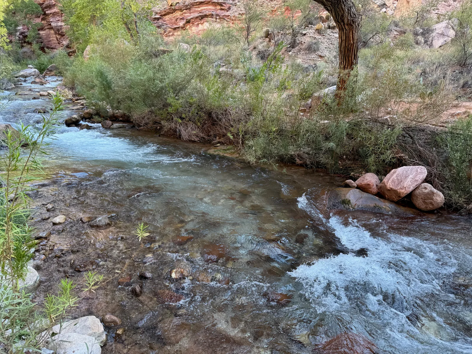
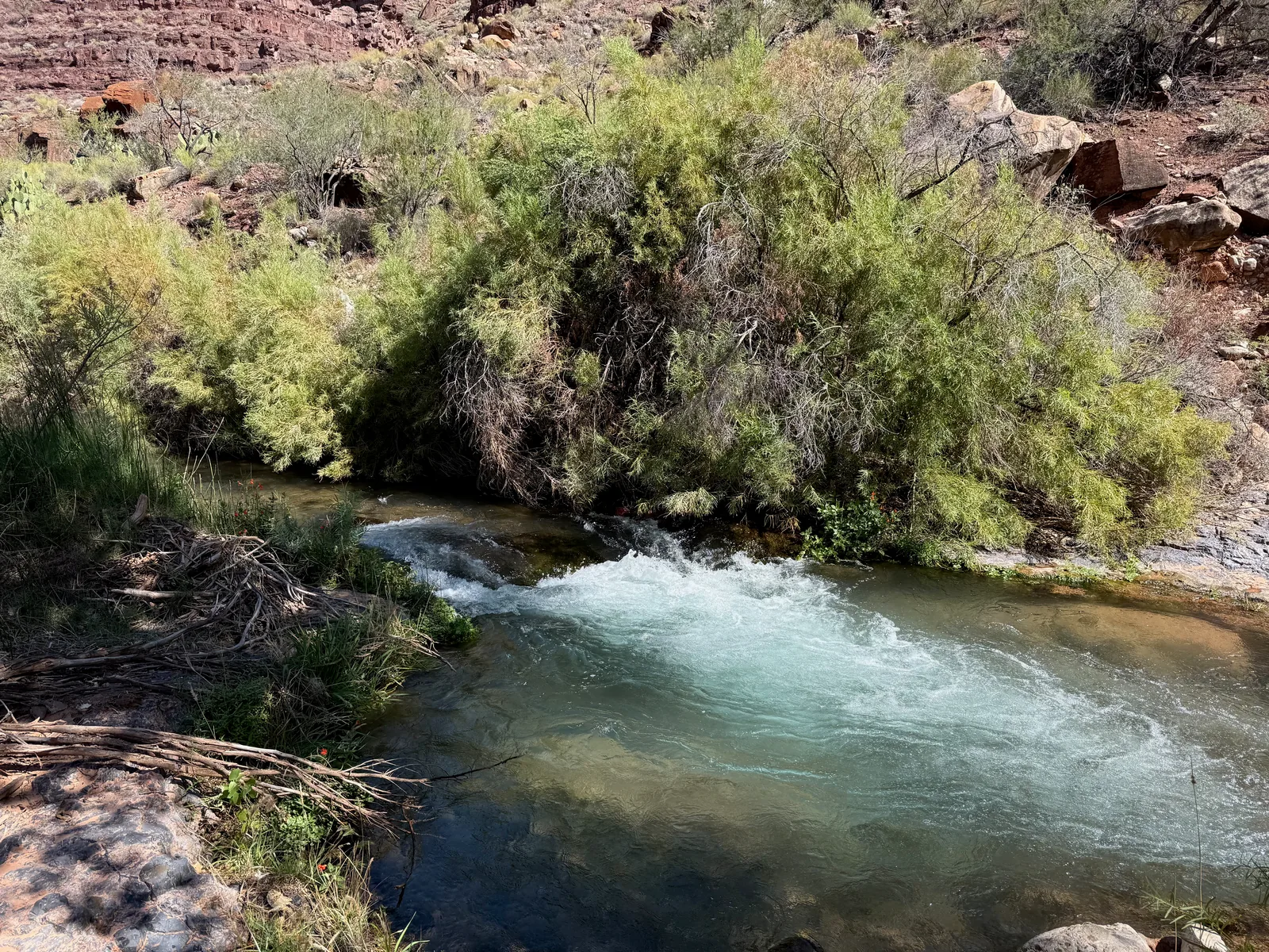
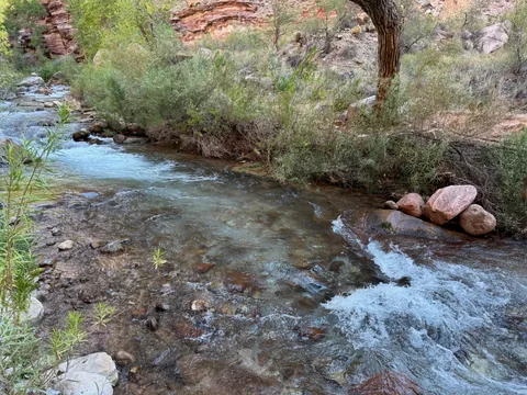 First crossing spot on Tapeats Creek
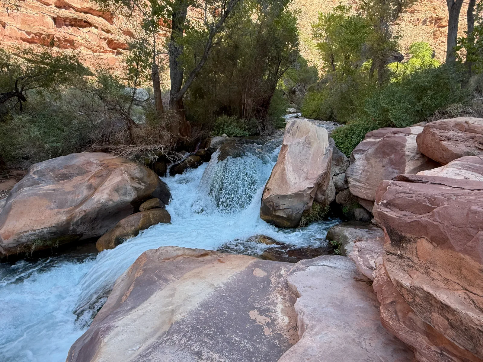
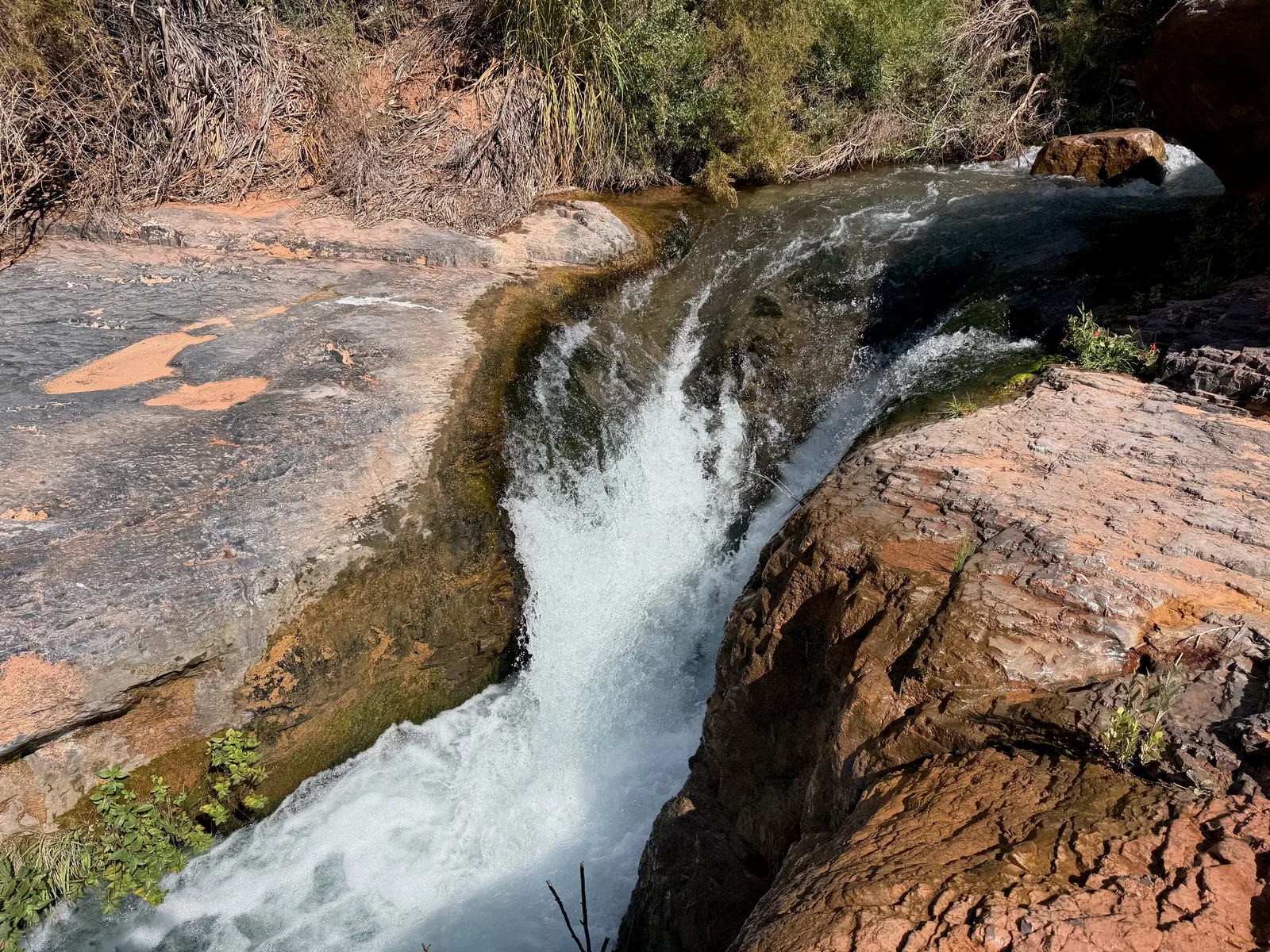
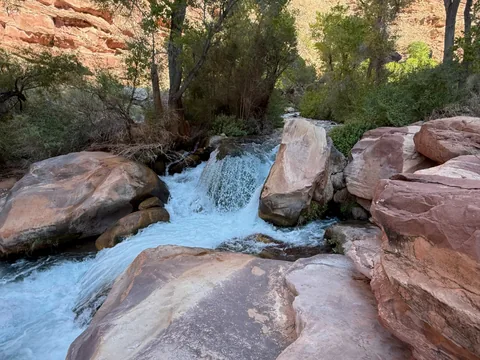 The creek squeezes through the red rock for a small drop
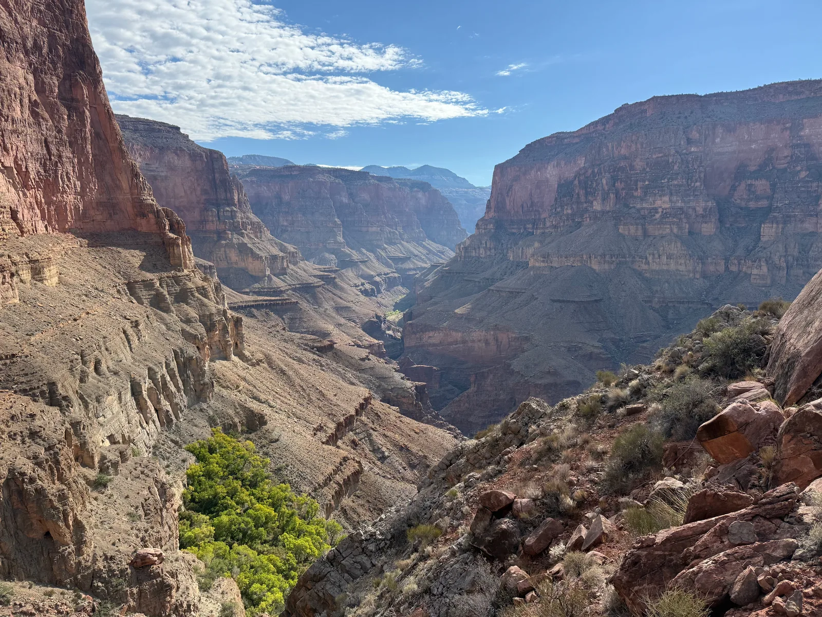
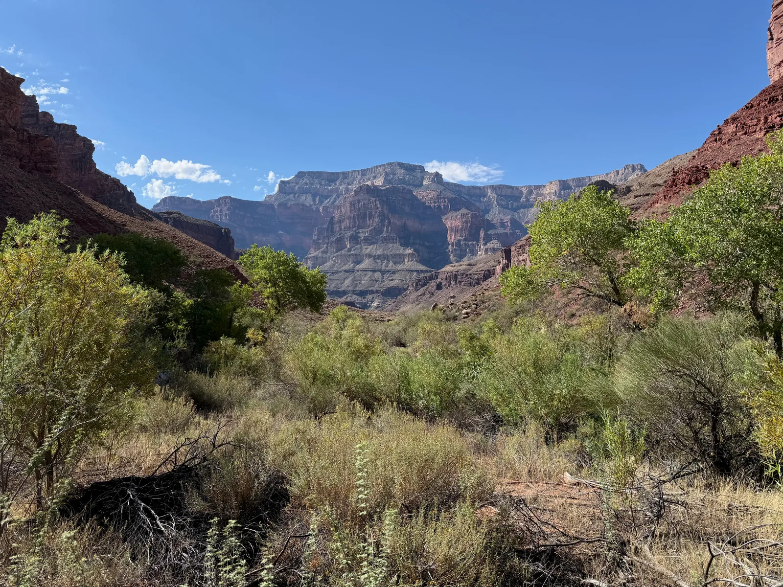
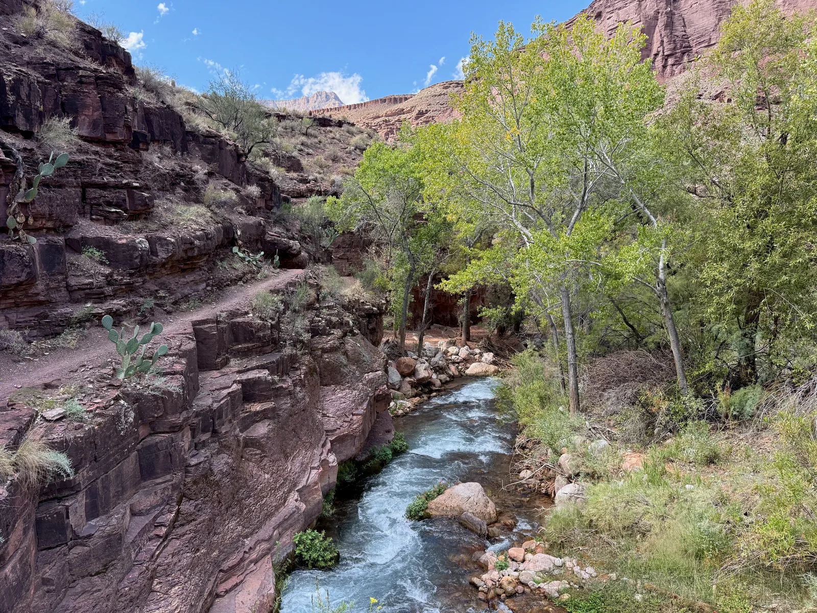
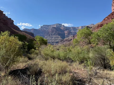 Cottonwoods and brush fill the floor of Tapeats Canyon
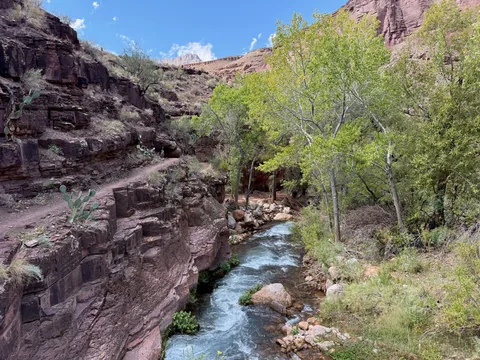 The trail runs the ledge
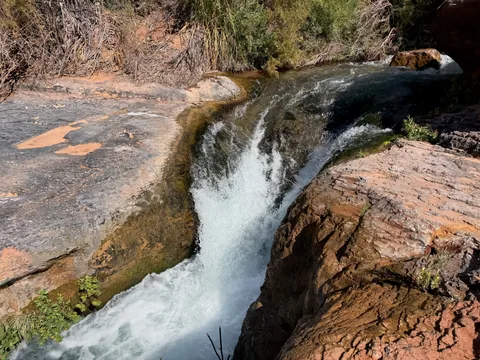 The marked falls spot, tempting to hop
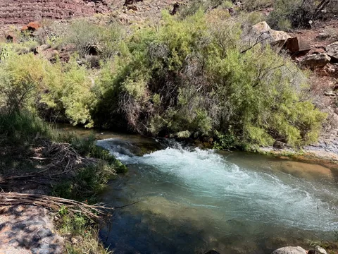 Second crossing spot
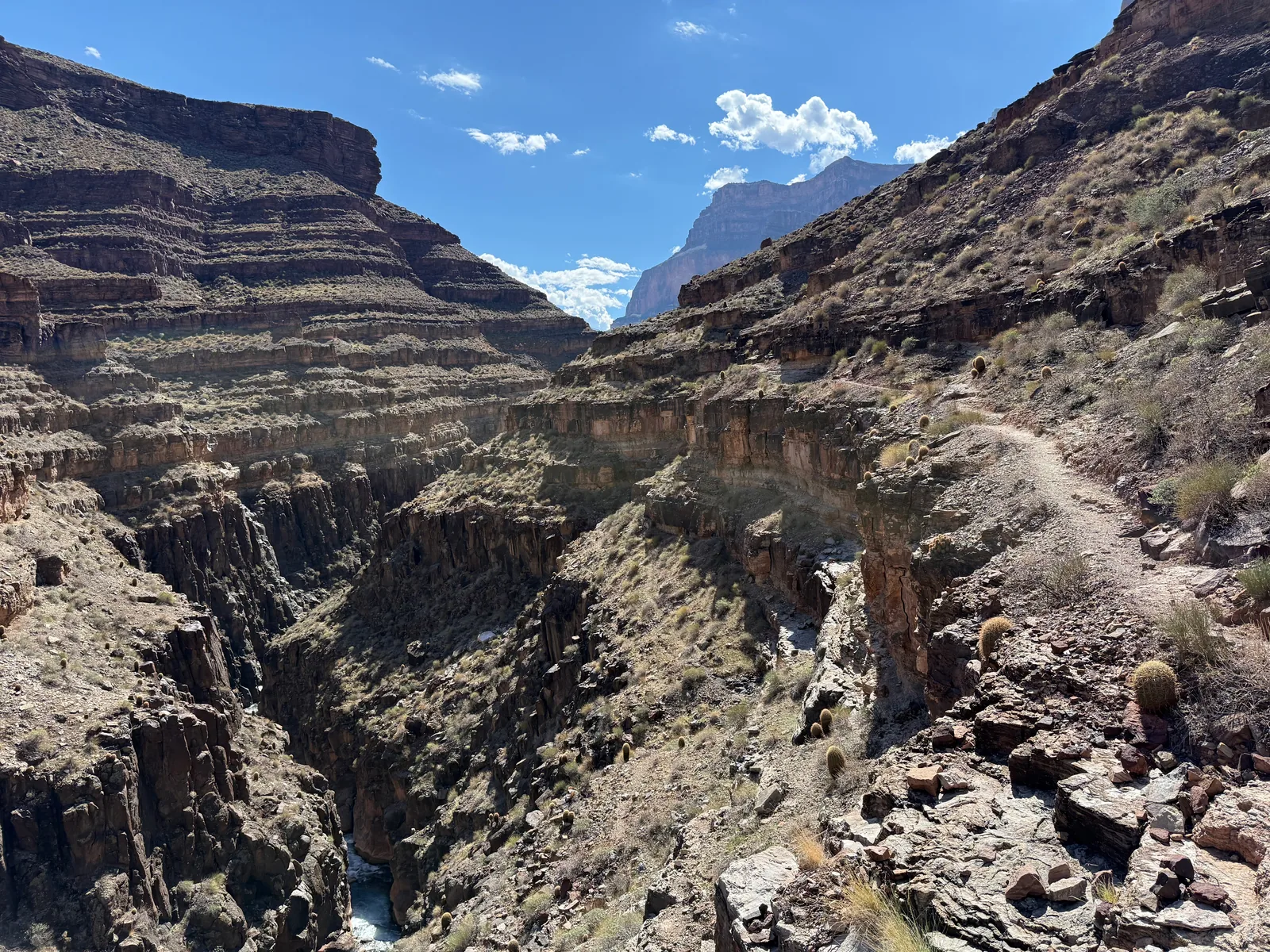
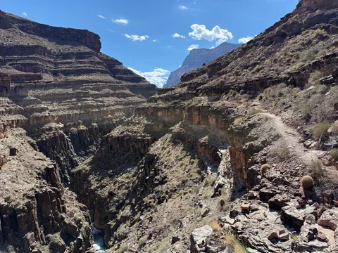 A very narrow trail high above Tapeats Creek
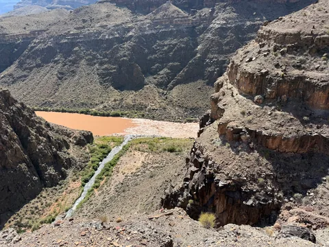 Yet another drop down
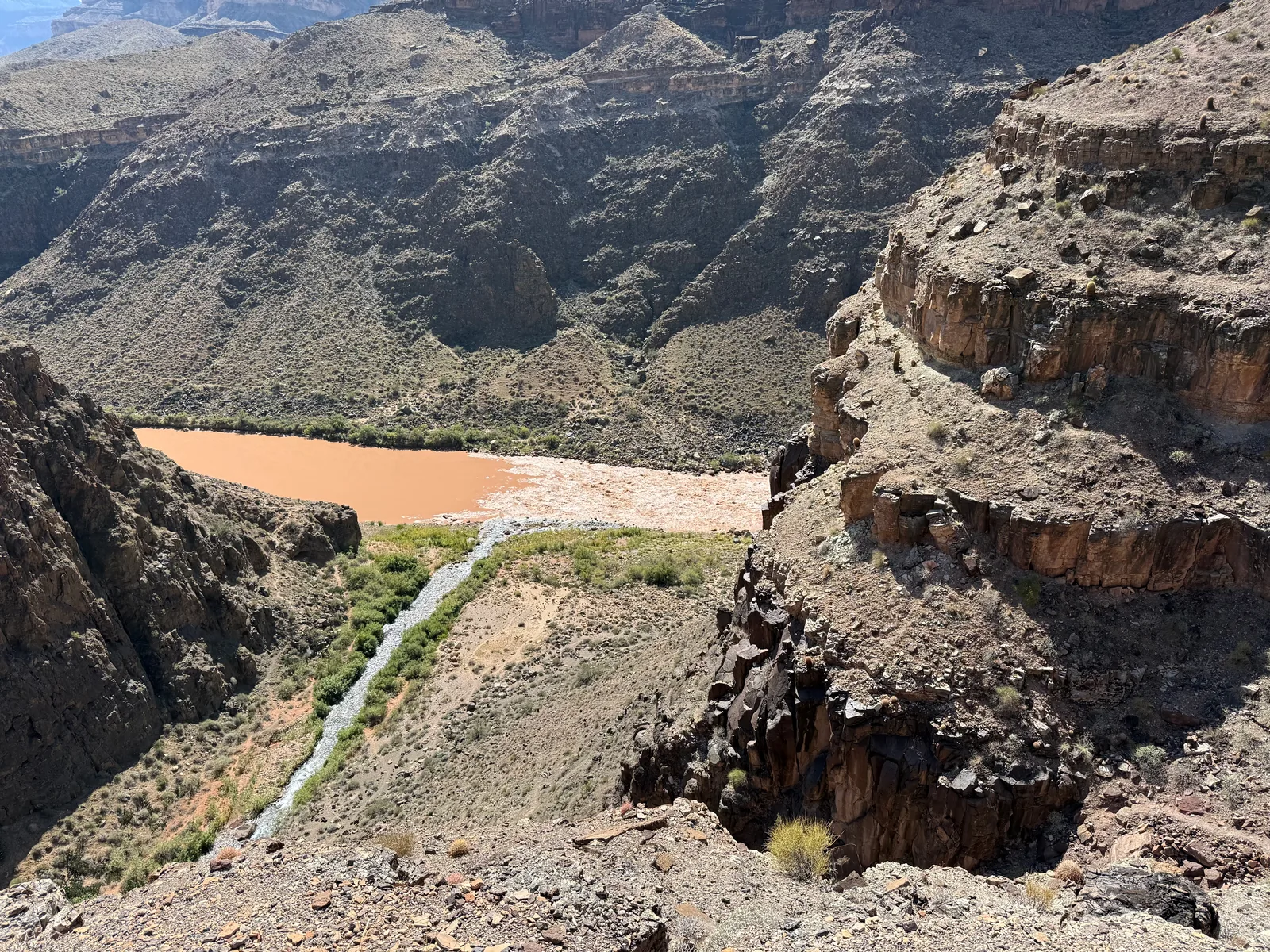
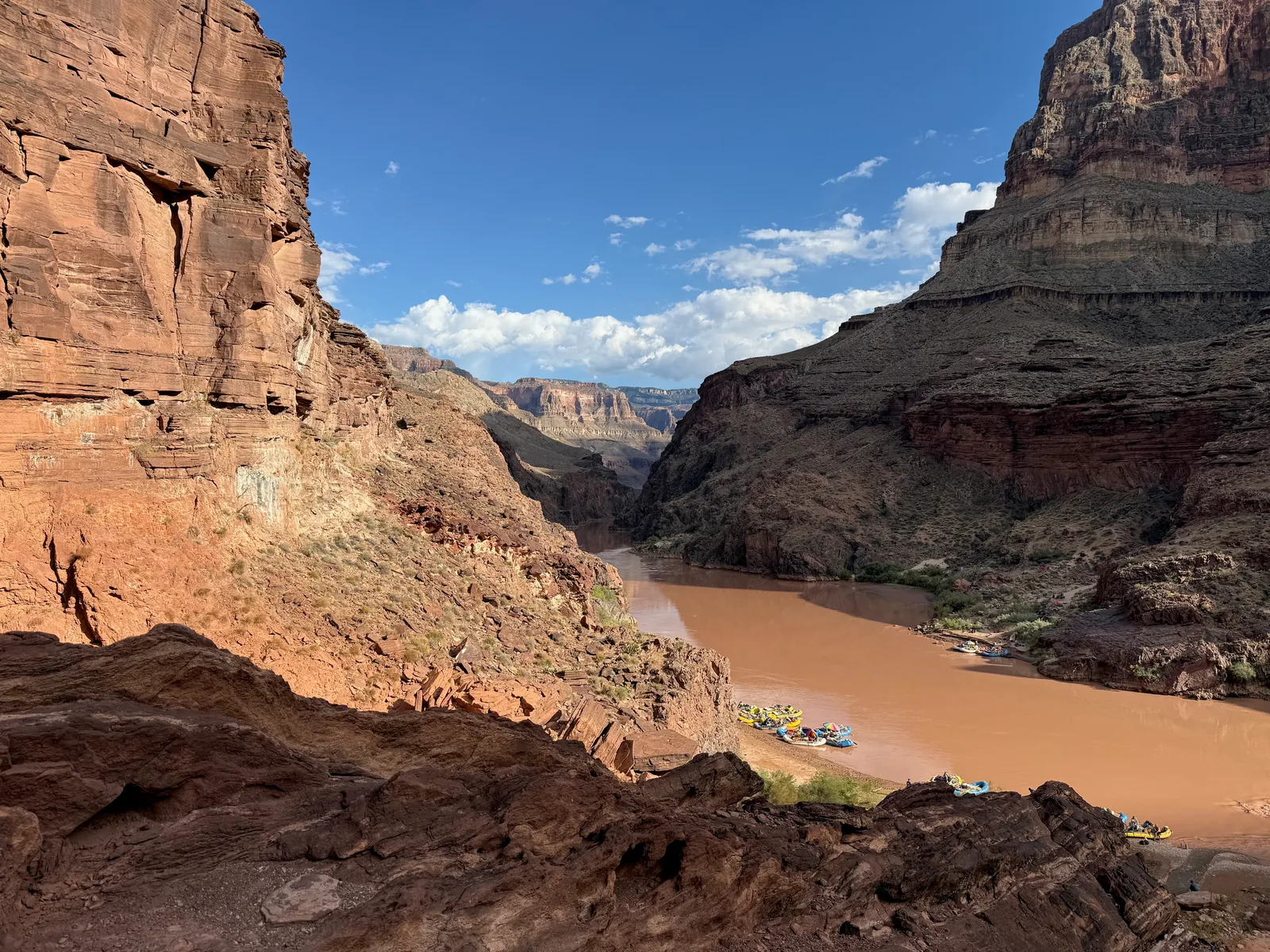
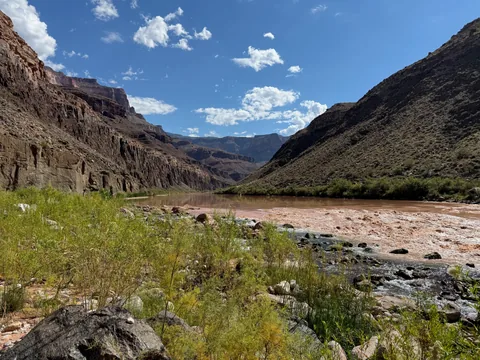 Watching the clear Tapeats water flow into the muddy Colorado
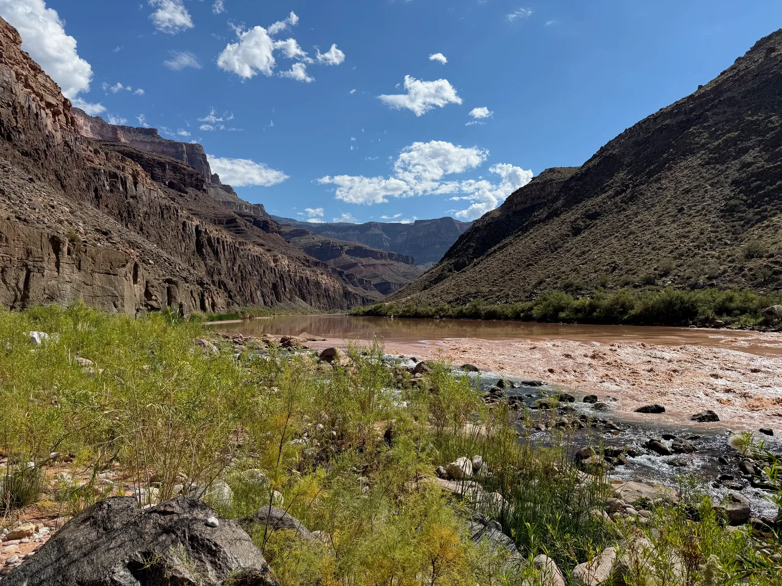
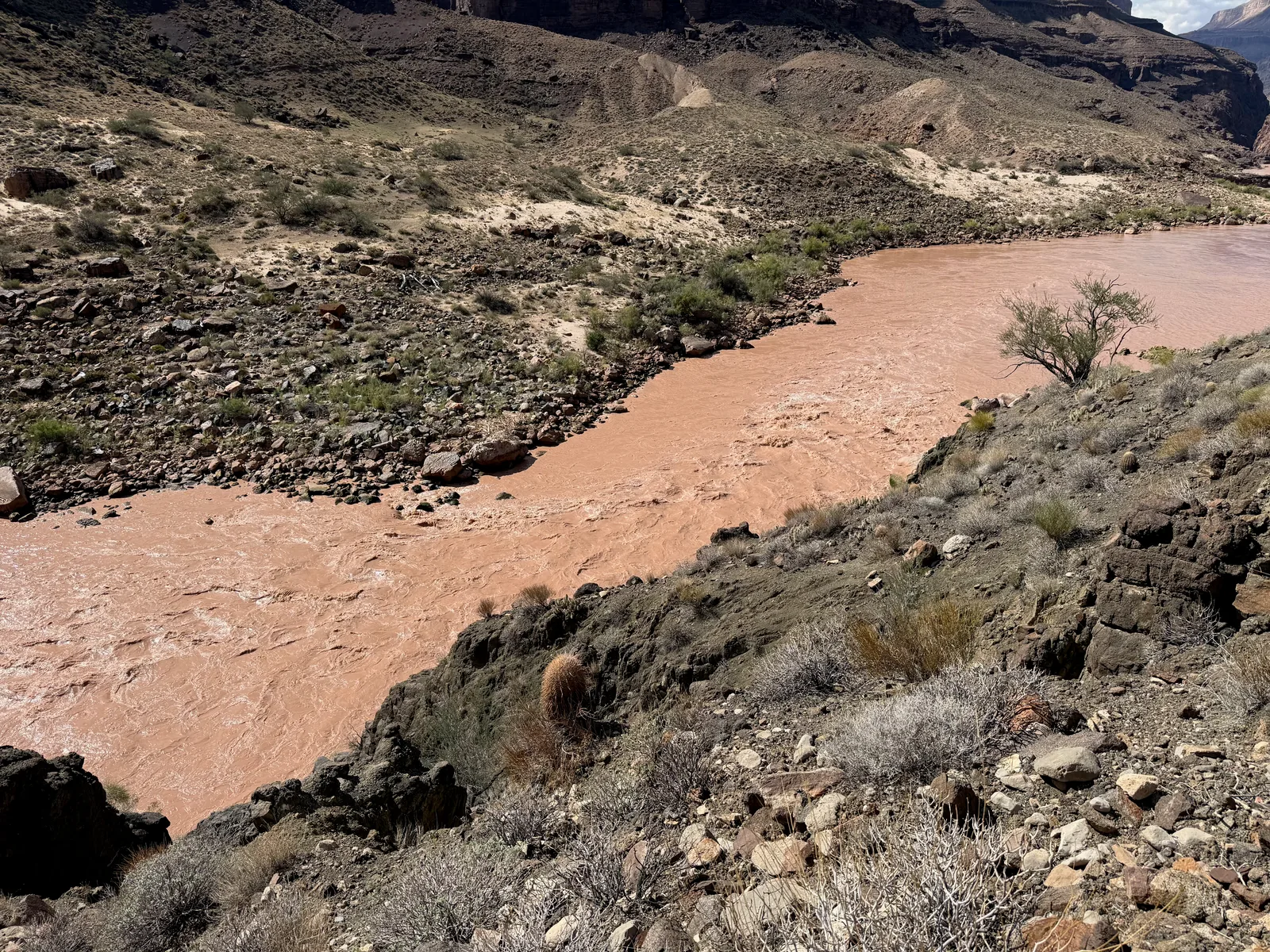
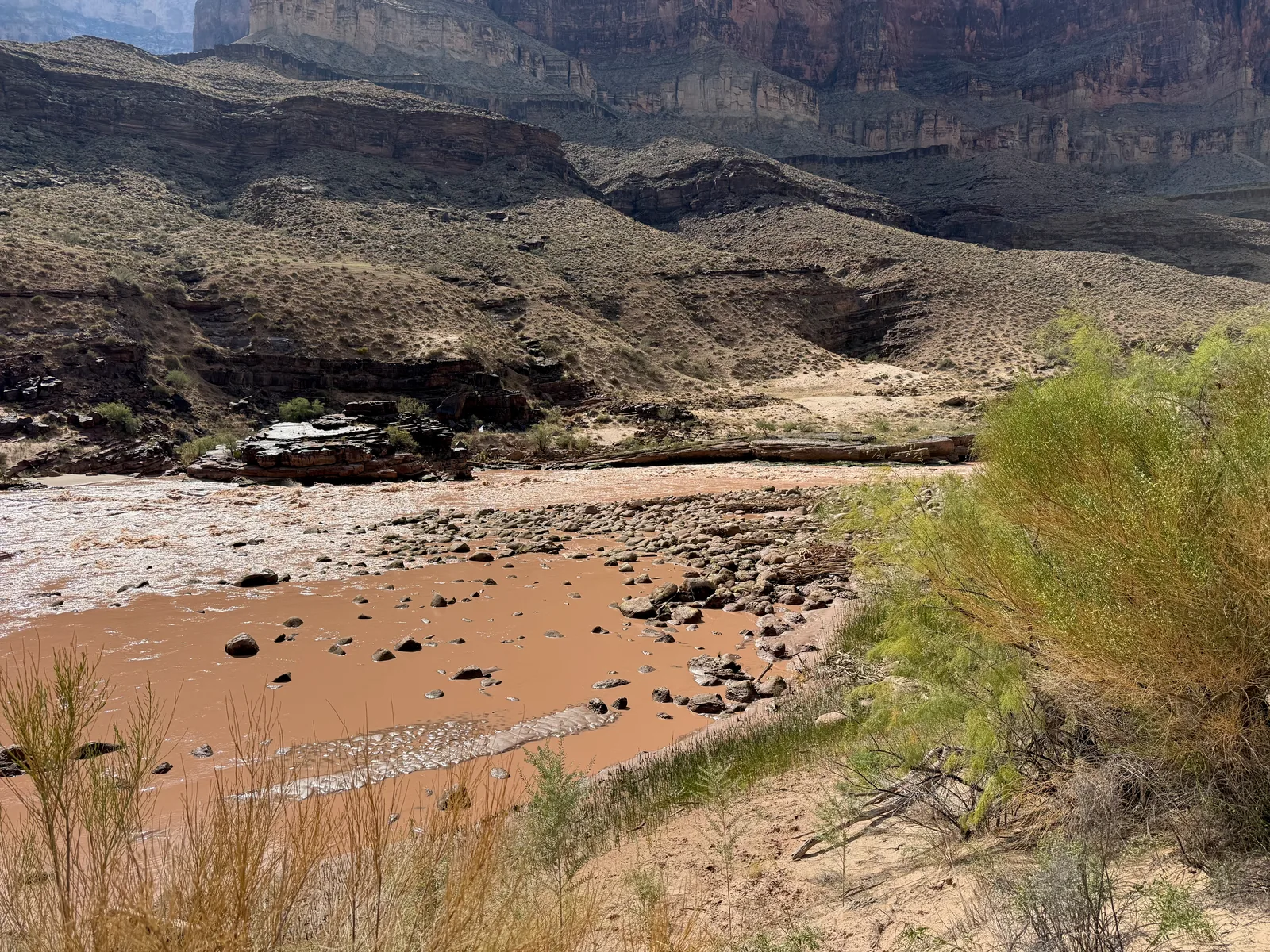
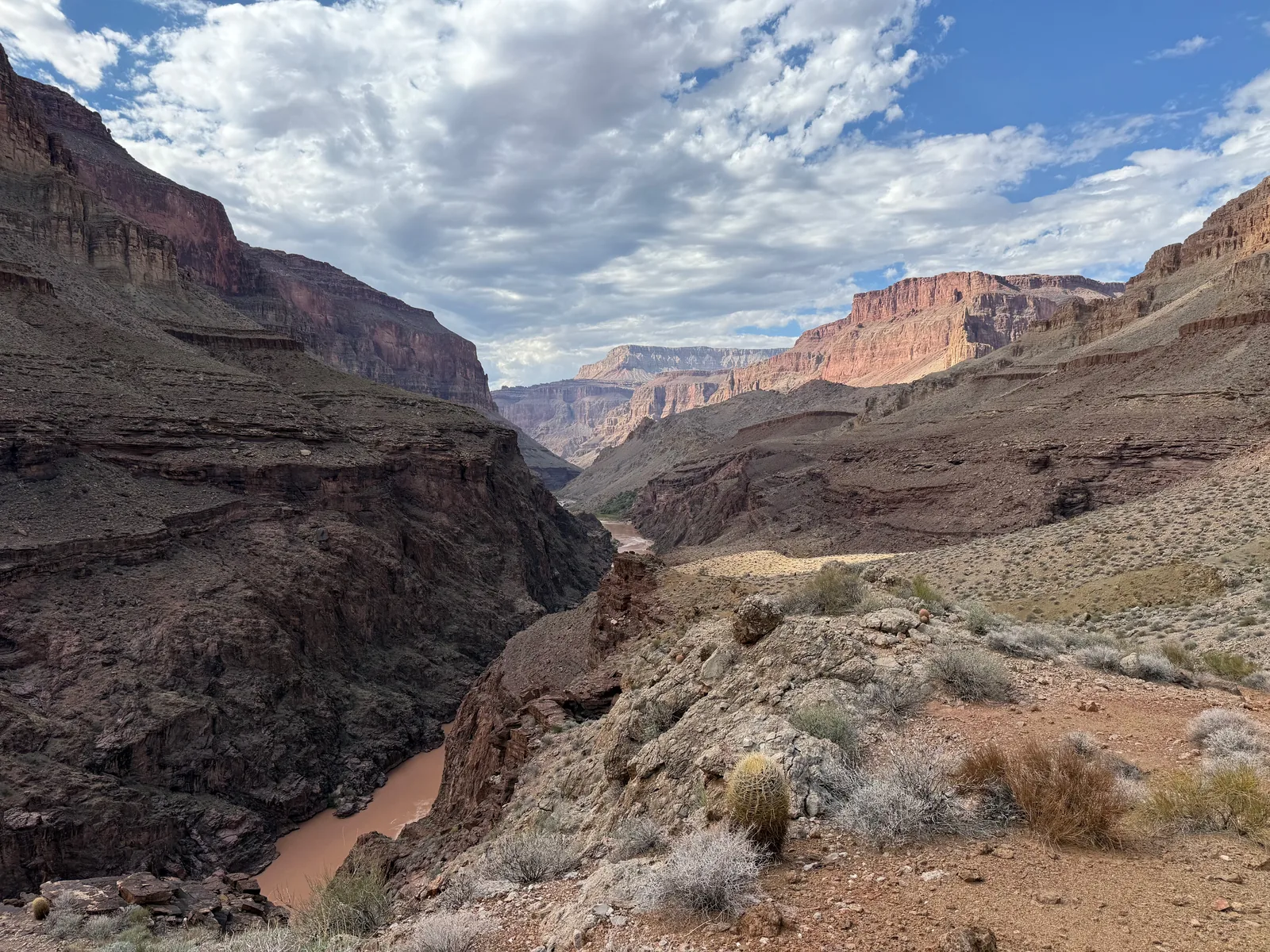
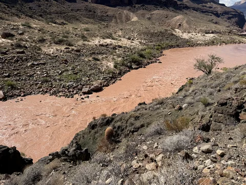 Following the muddy Colorado, on a climb near Bonita
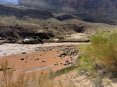 One of the few rapids between Tapeats and Deer Creek
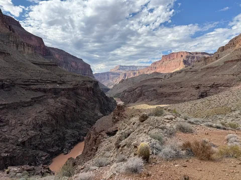 The river squeezes into dark rocks of Granite Narrows below
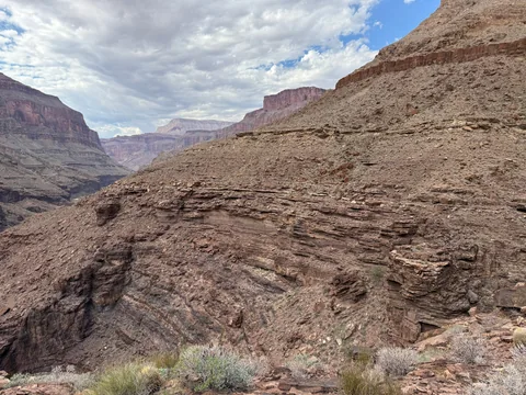 Along the bendy connector
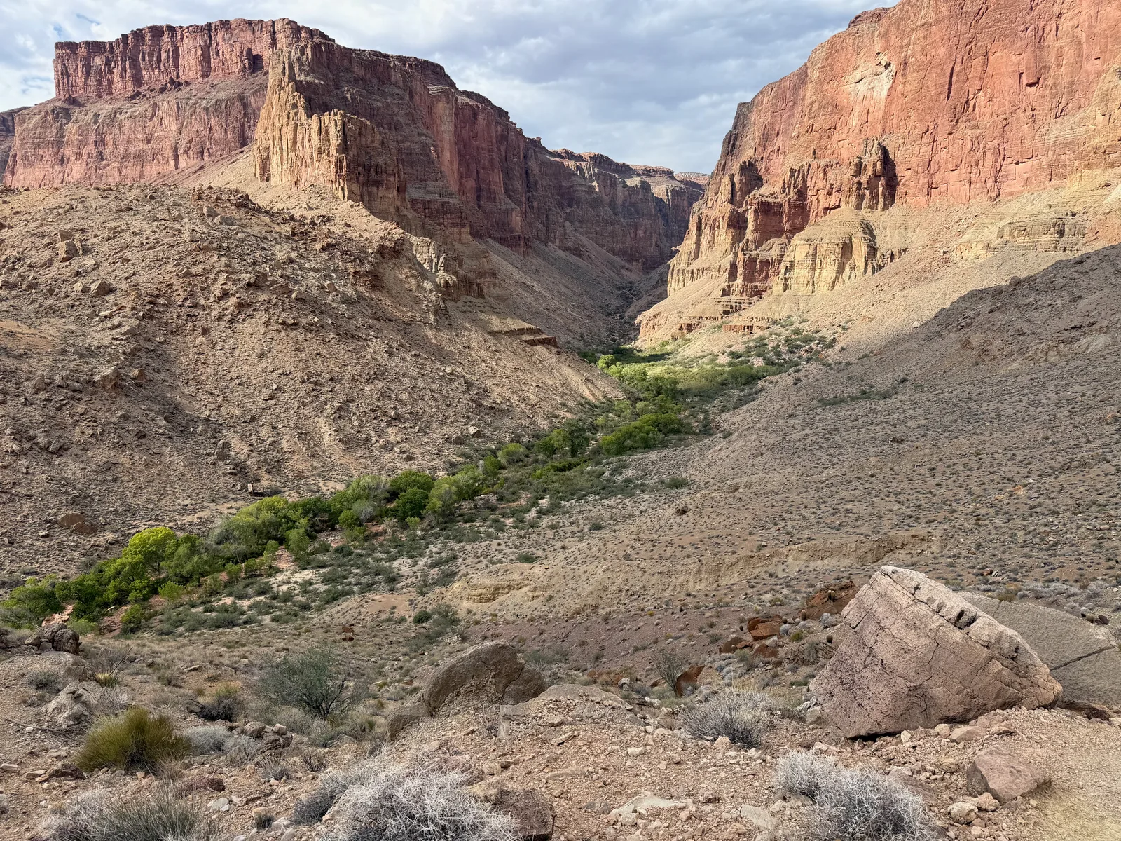
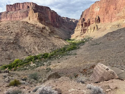 Finally dropping down into Deer Creek's drainage
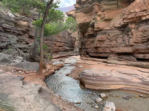 The patio at Deer Creek
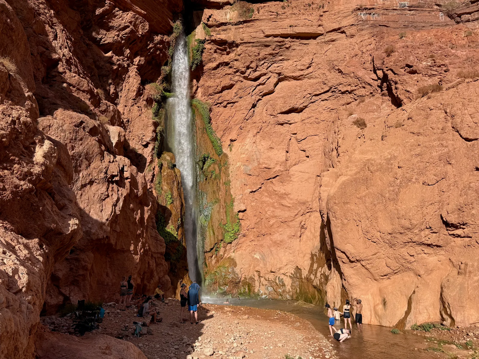
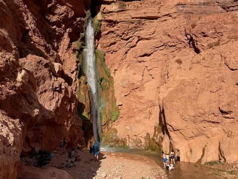 Deer Creek Falls, and the rafters that stop to see it
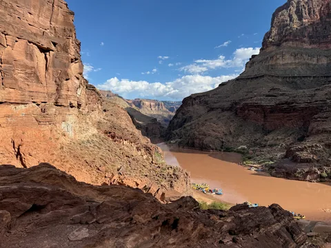 Many rafts tied up at Deer Creek
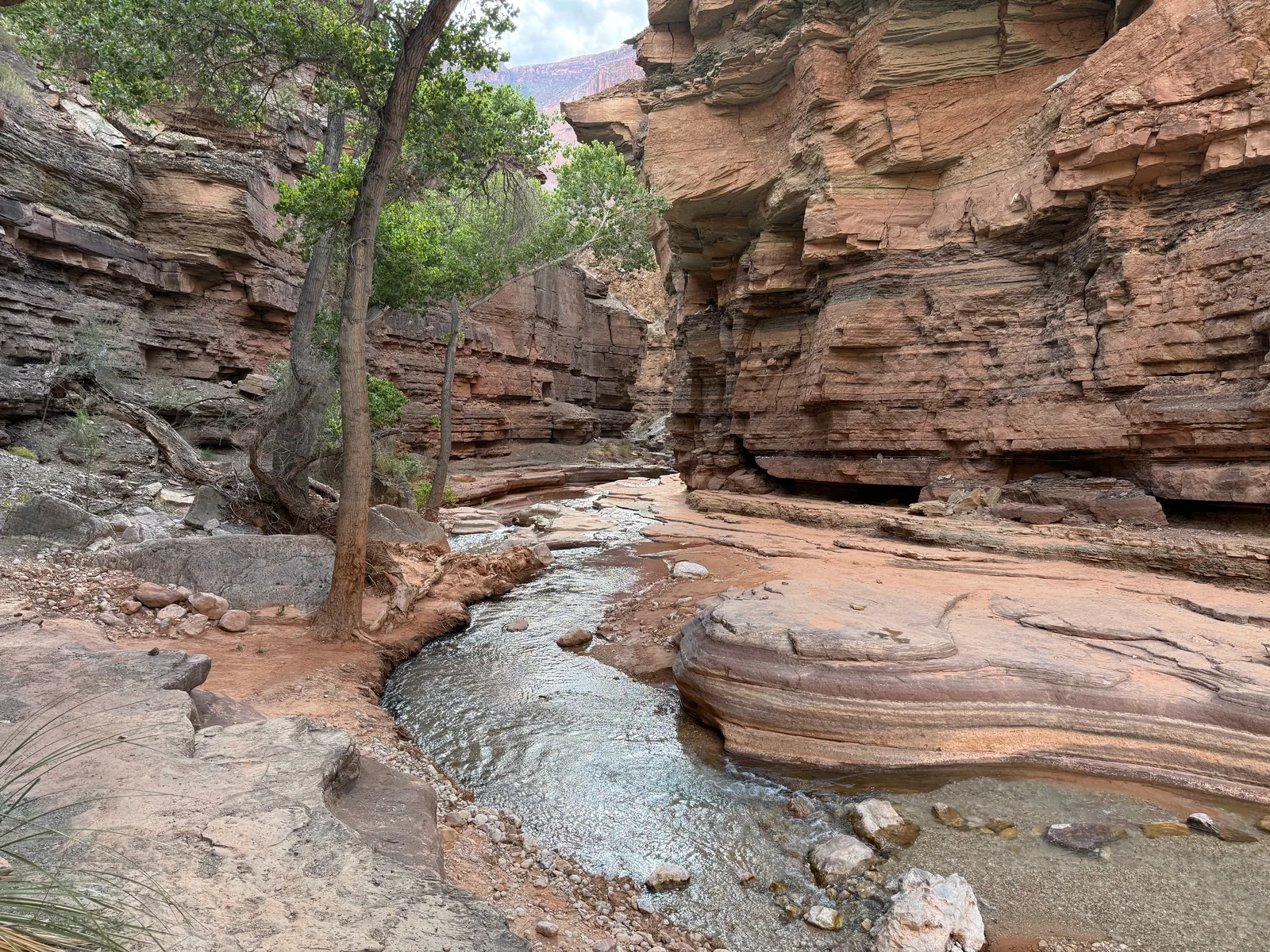
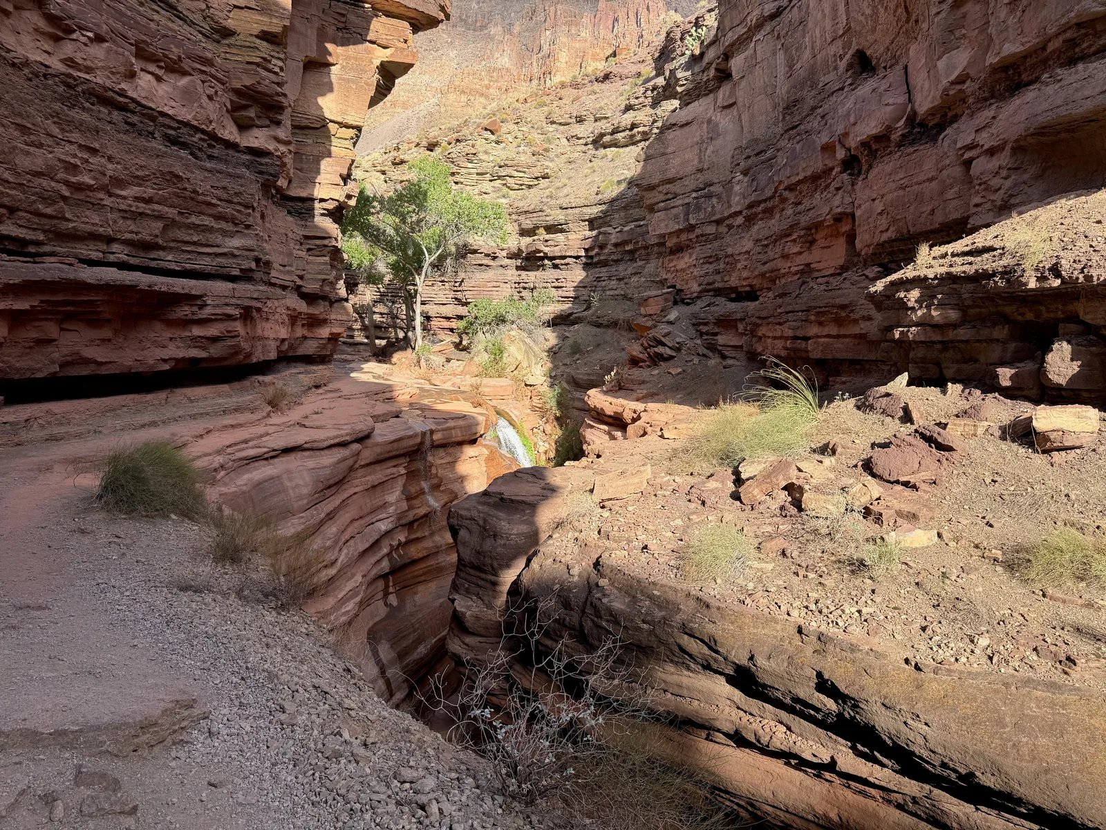
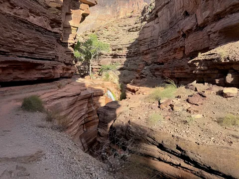 Deer Creek pinches into its slot below the cottonwood patio
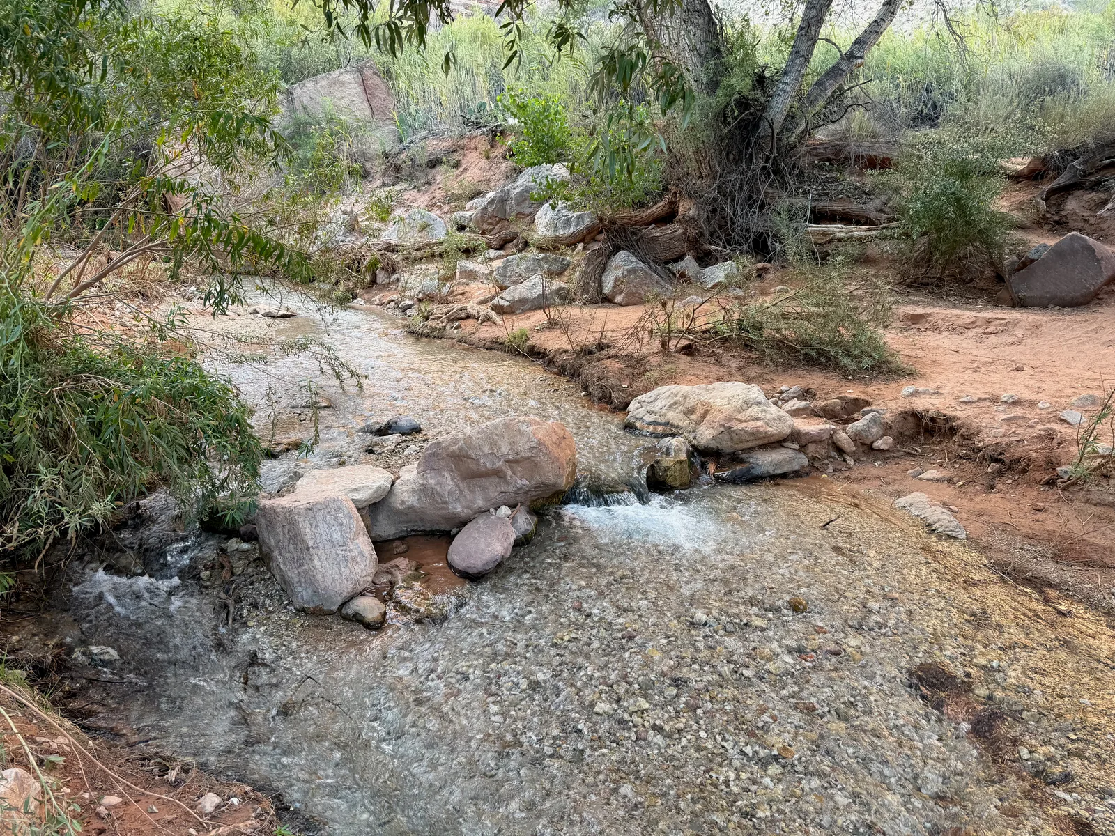
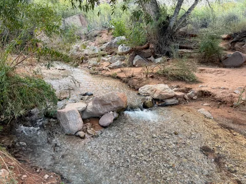 Last water refill on Deer Creek
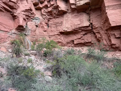 A dry spring at the throne room
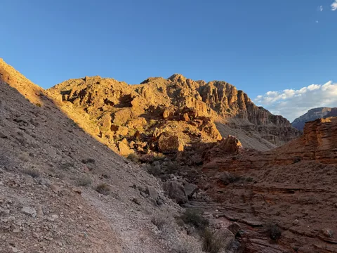 Rugged ridge above the steep trail
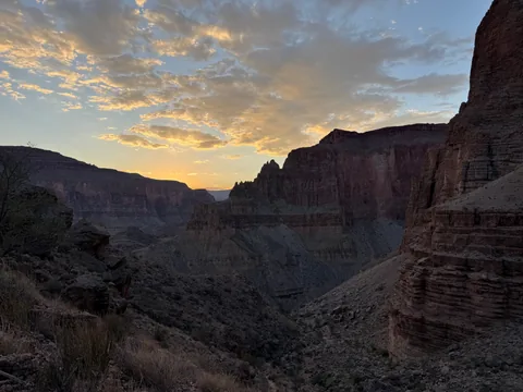 Last light over Deer Creek
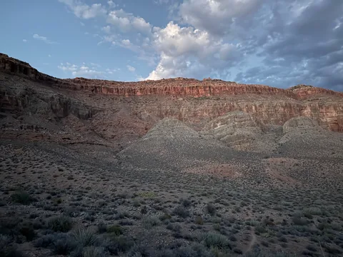 Darkness falling over Surprise Valley and the next climb
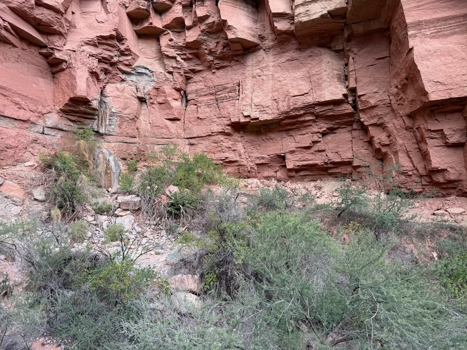
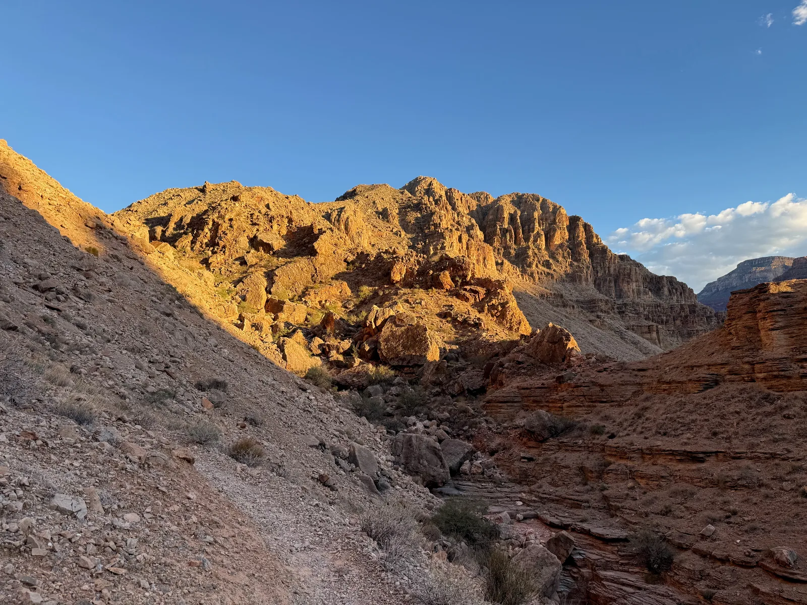
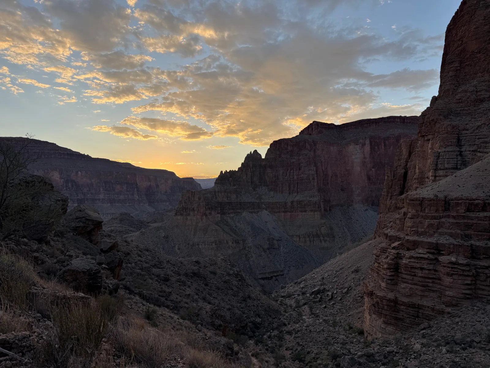
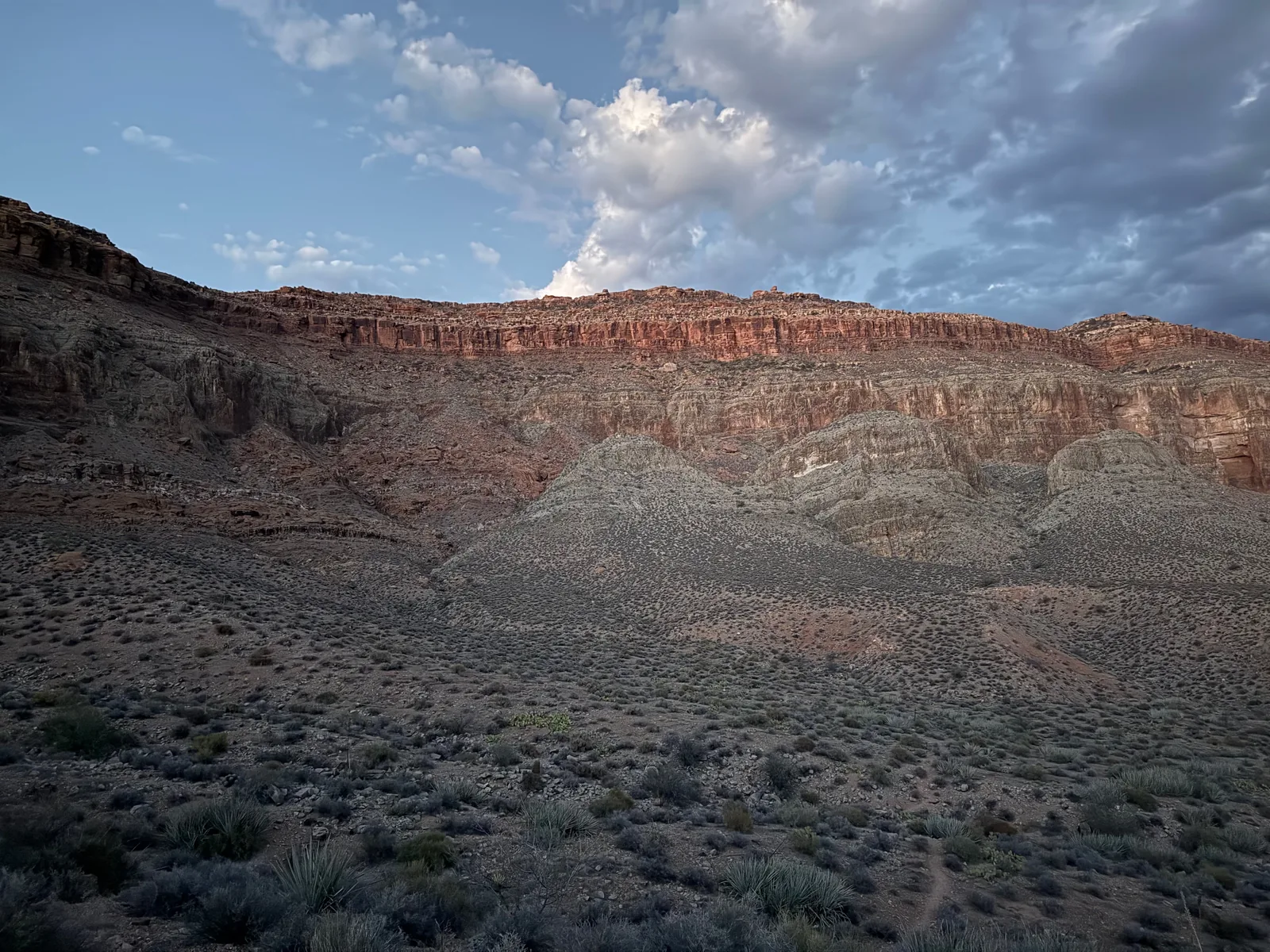
Along the way
Waterfall 1
- Deer Creek Falls
Spring 2
- Thunder Spring
- Deer Spring
Creek 2
- Deer Creek Narrows
- The Patio (Deer Creek crossing)
Shoreline 1
- Tapeats Creek Mouth
Overlook 1
- Monument Point
Camping 1
- Indian Hollow Campground
Trailhead 2
- Indian Hollow Trailhead
- Bill Hall Trailhead
Junction 2
- Thunder River Trail / Bill Hall Trail junction
- Surprise Valley junction (Thunder River / Deer Creek trails)