Southern Mazatzal Wander
35.4 mi5,200 ft
5,745 ft
3,399 ft
Long hike that attempts to turn some of the southern Mazatzal Wilderness trails into a looping dayhike. Lots of road-walking was involved.
Photos
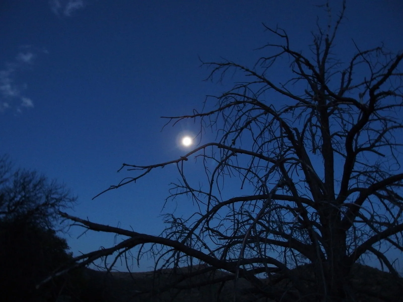
 Full moon over a burned tree in the Mazatzals
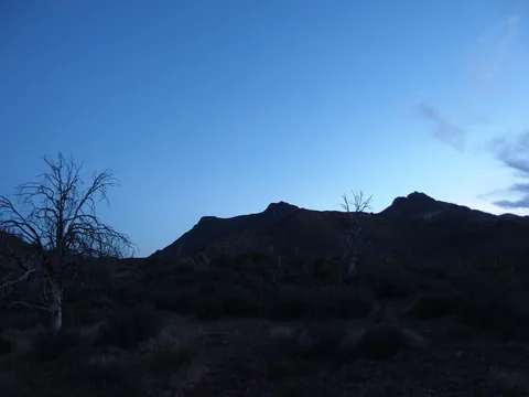 Slowly waking sky
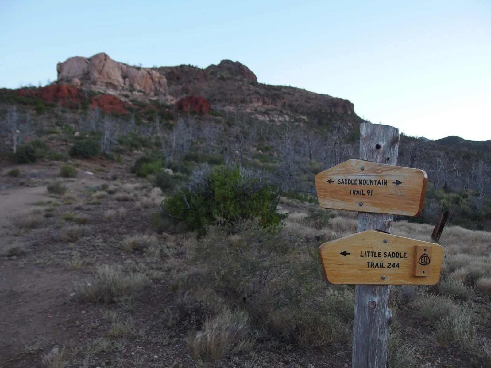
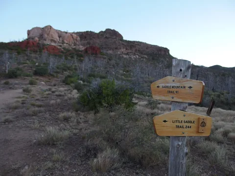 Saddle / Little Saddle Junction
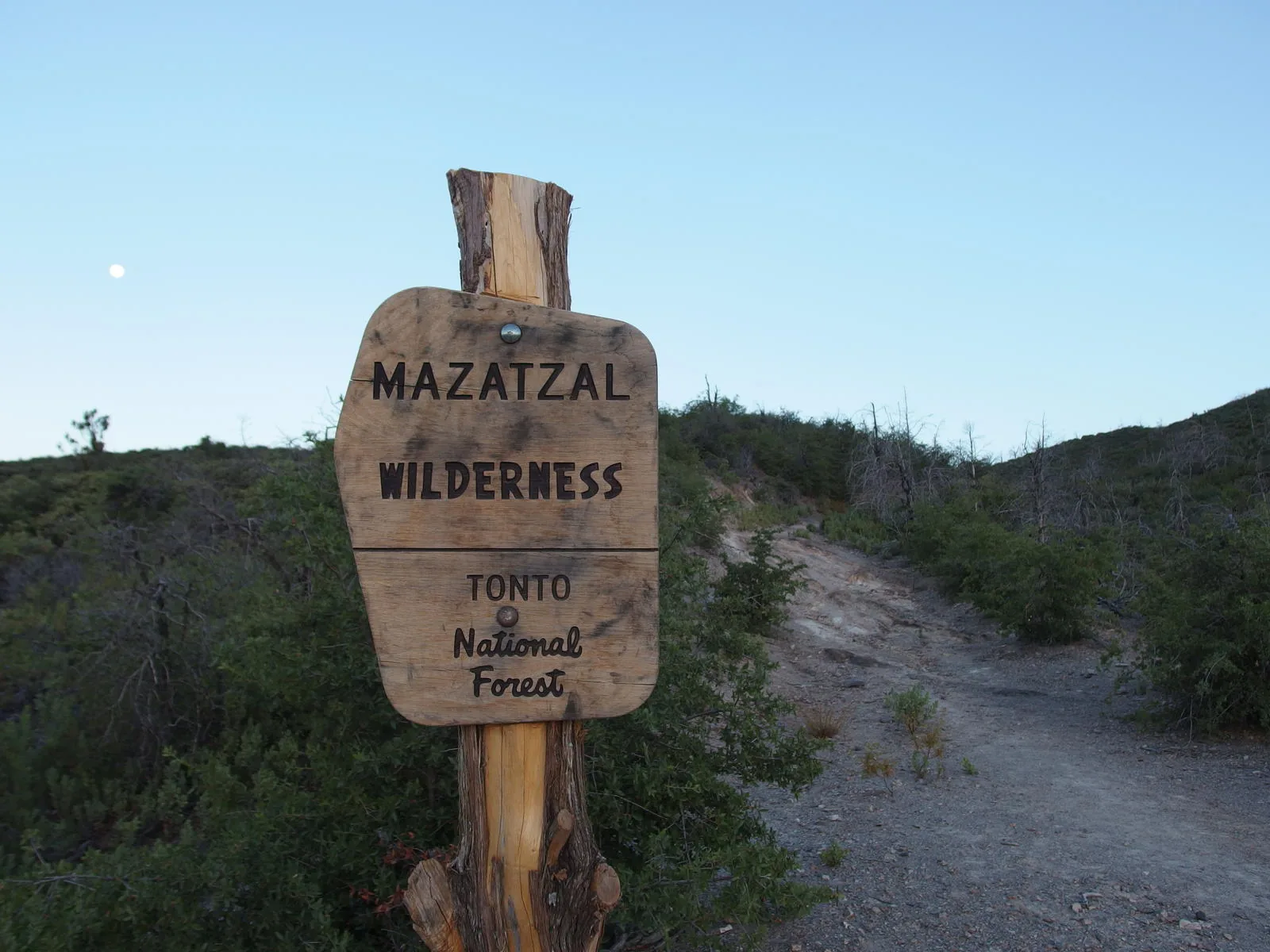
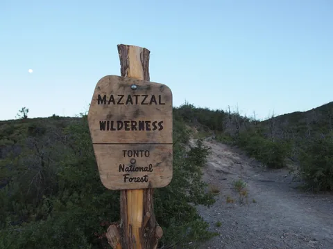 Sign for the wilderness near Mormon Grove
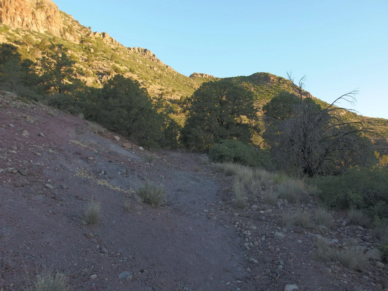
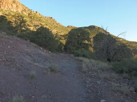 Easy walking on Saddle Mountain Trail
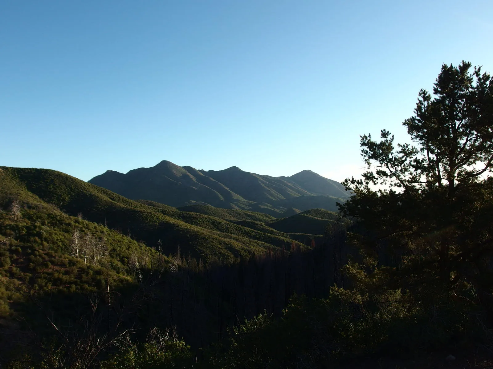
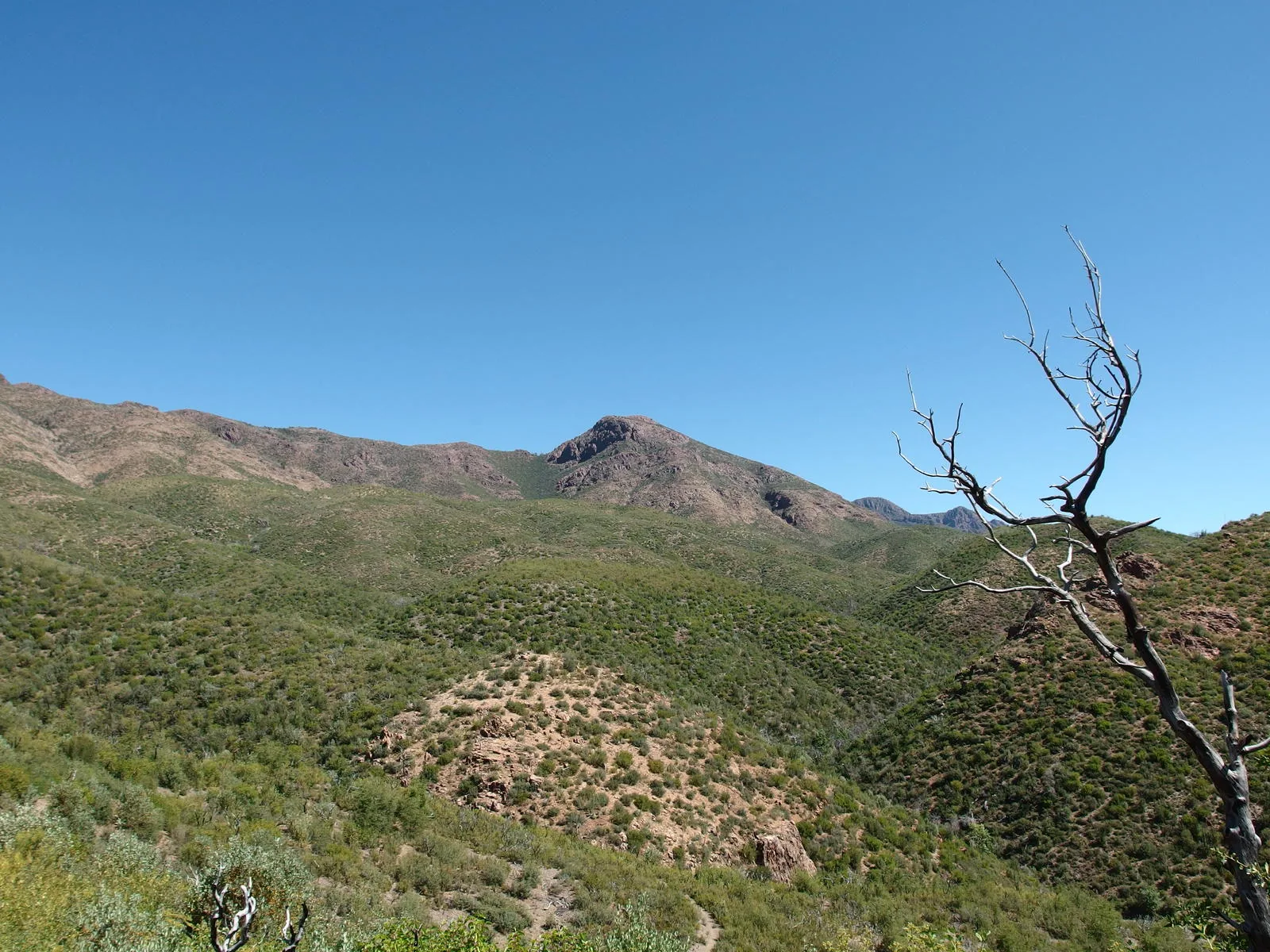
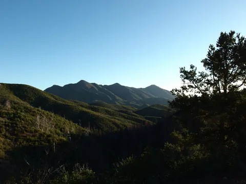 Ridge from Mount Peeley to Sheep Mountain
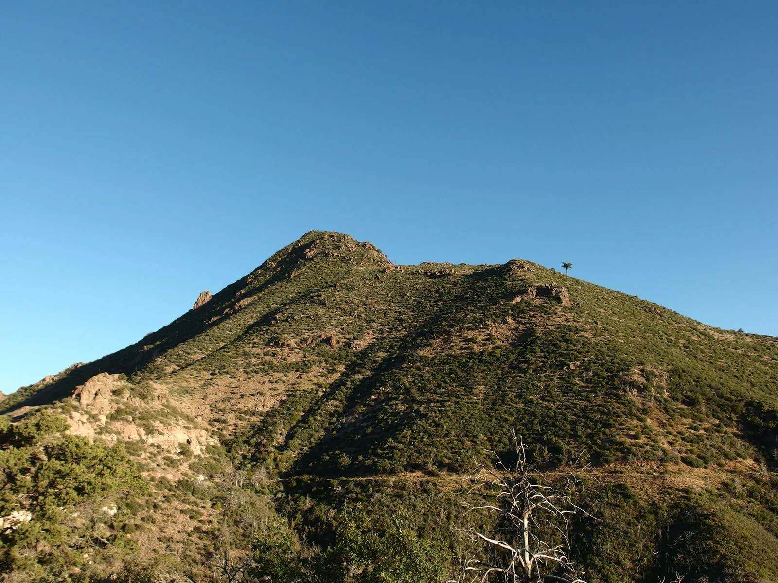
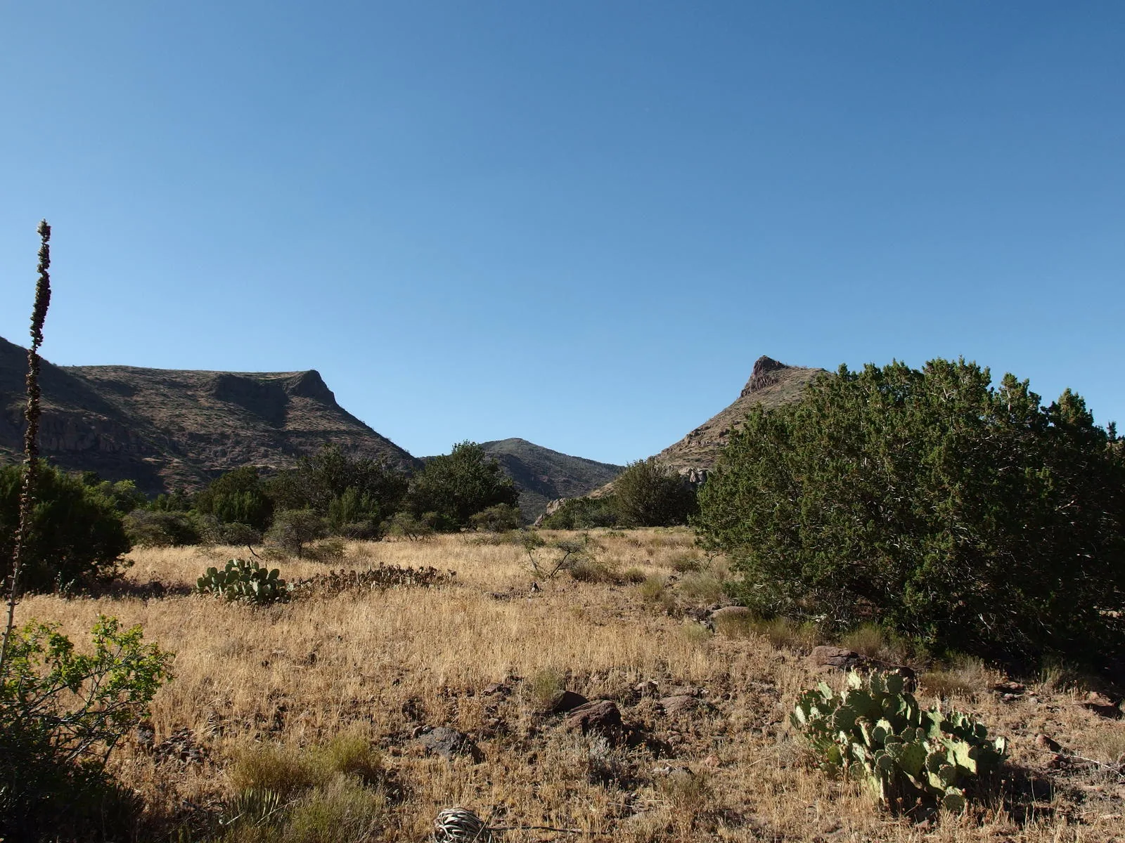
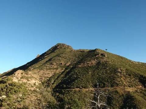 Close encounter with Saddle Mountain
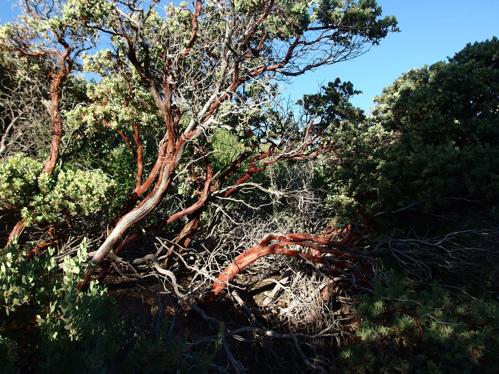
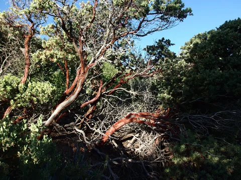 Gnarled trunk of an old manzanita
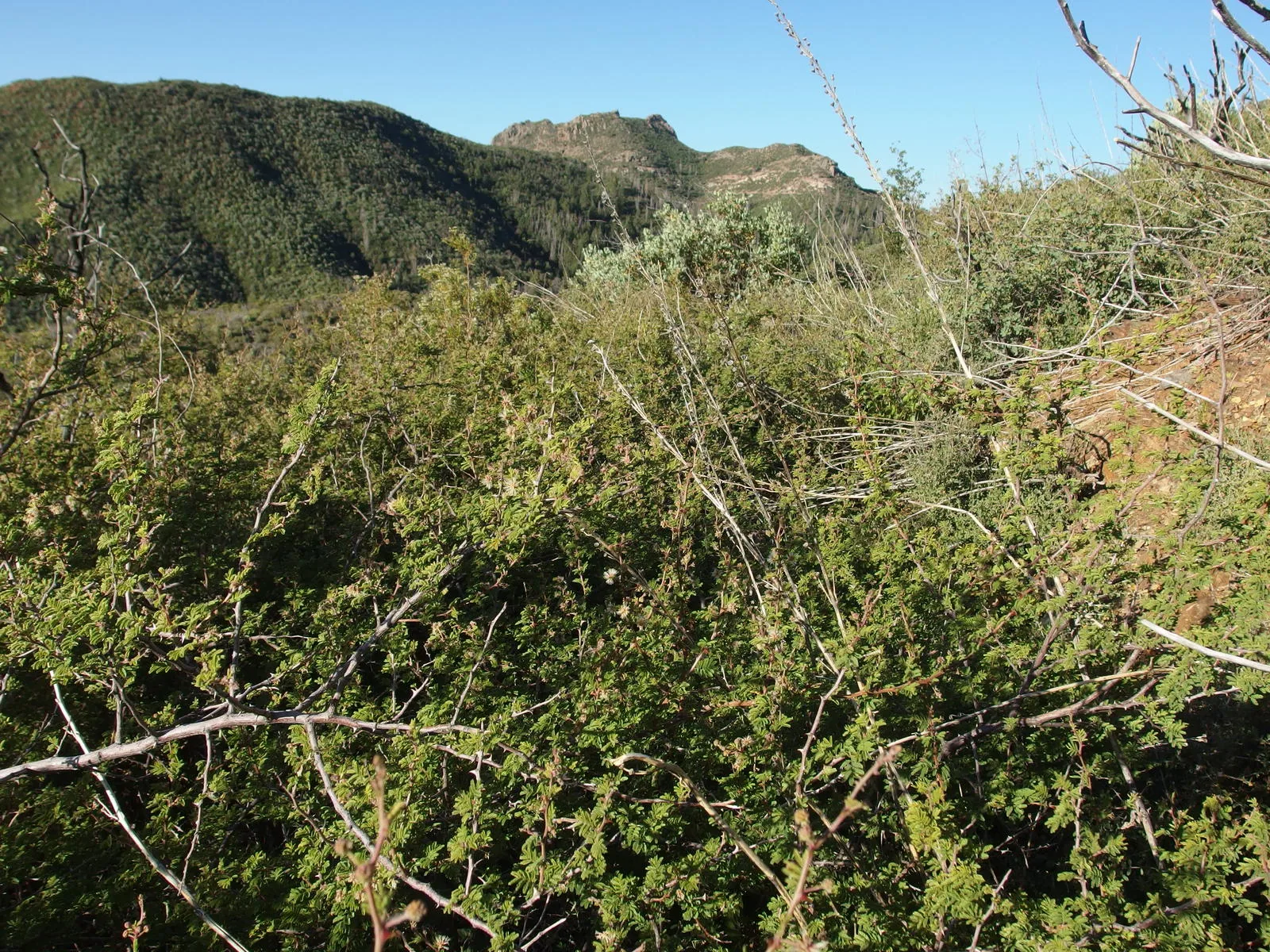
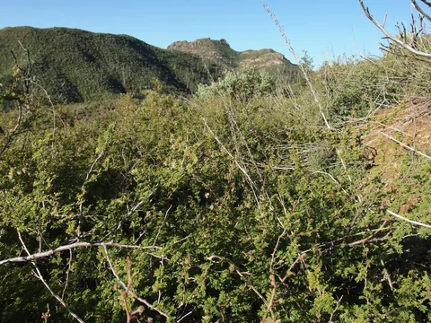 Thick catclaw near Story Mine
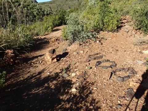 Halfway mark of the Arizona Trail
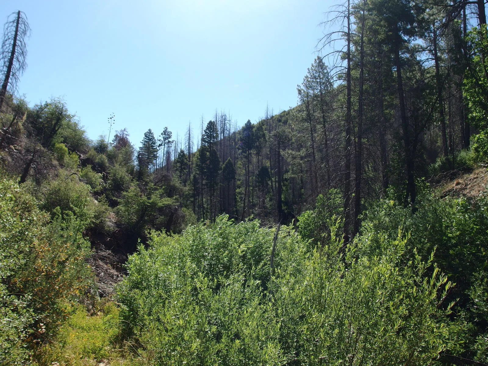
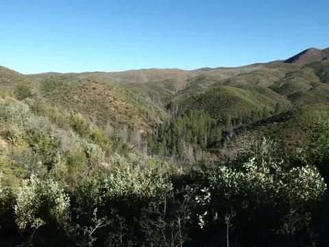 Thick trees in McFarland Canyon
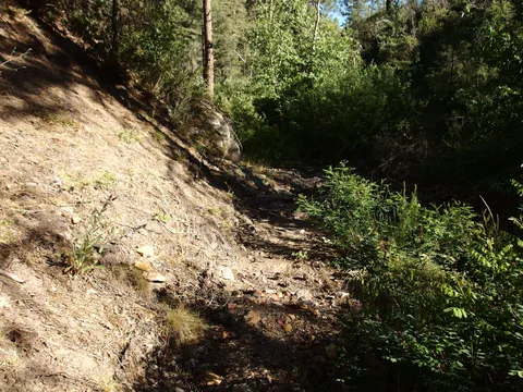 Easy going on Sheep Creek Trail
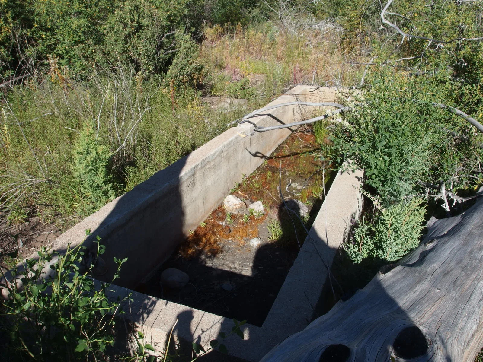
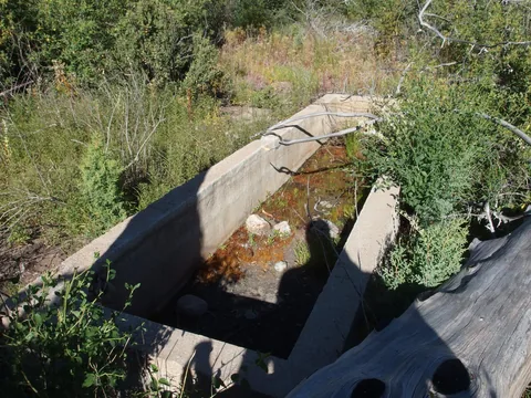 Empty water trough at Squaw Flat Spring
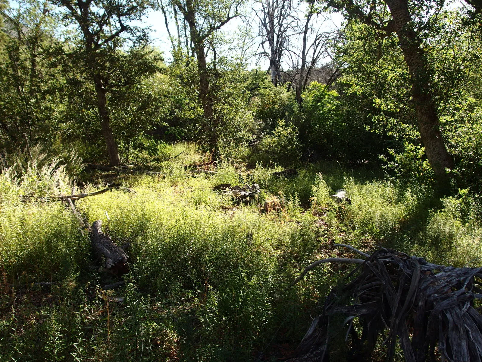
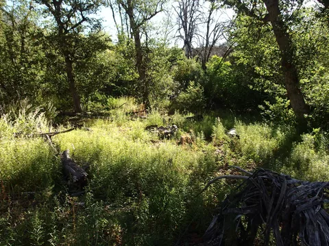 Overgrown campsite at Squaw Flat
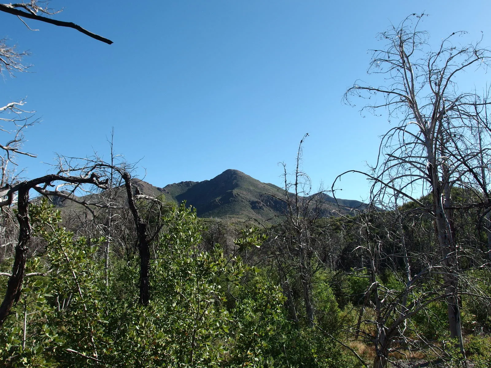
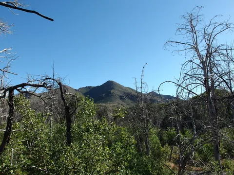 Sheep Mountain from Squaw Flat
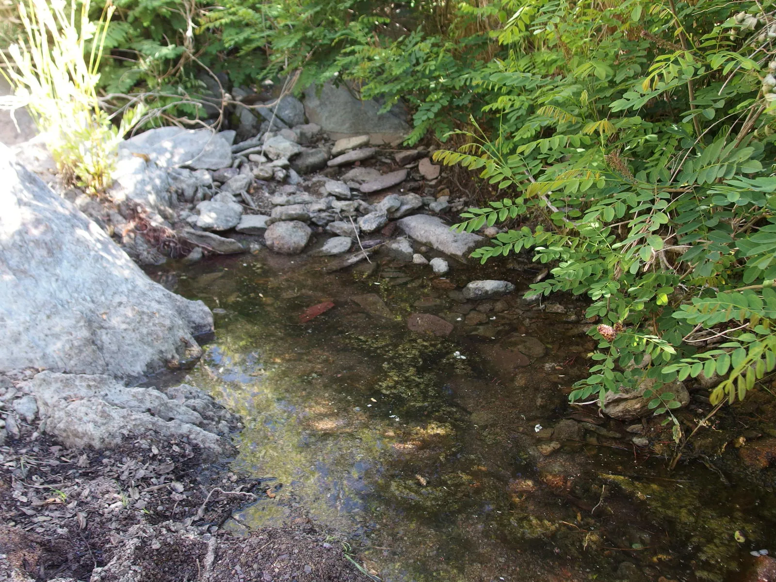
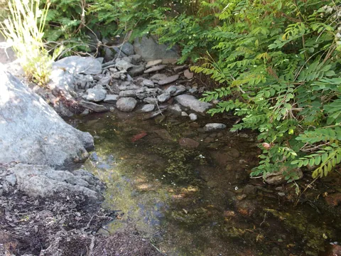 Humble, sickly water source
 Tall pines along Thicket Spring Trail
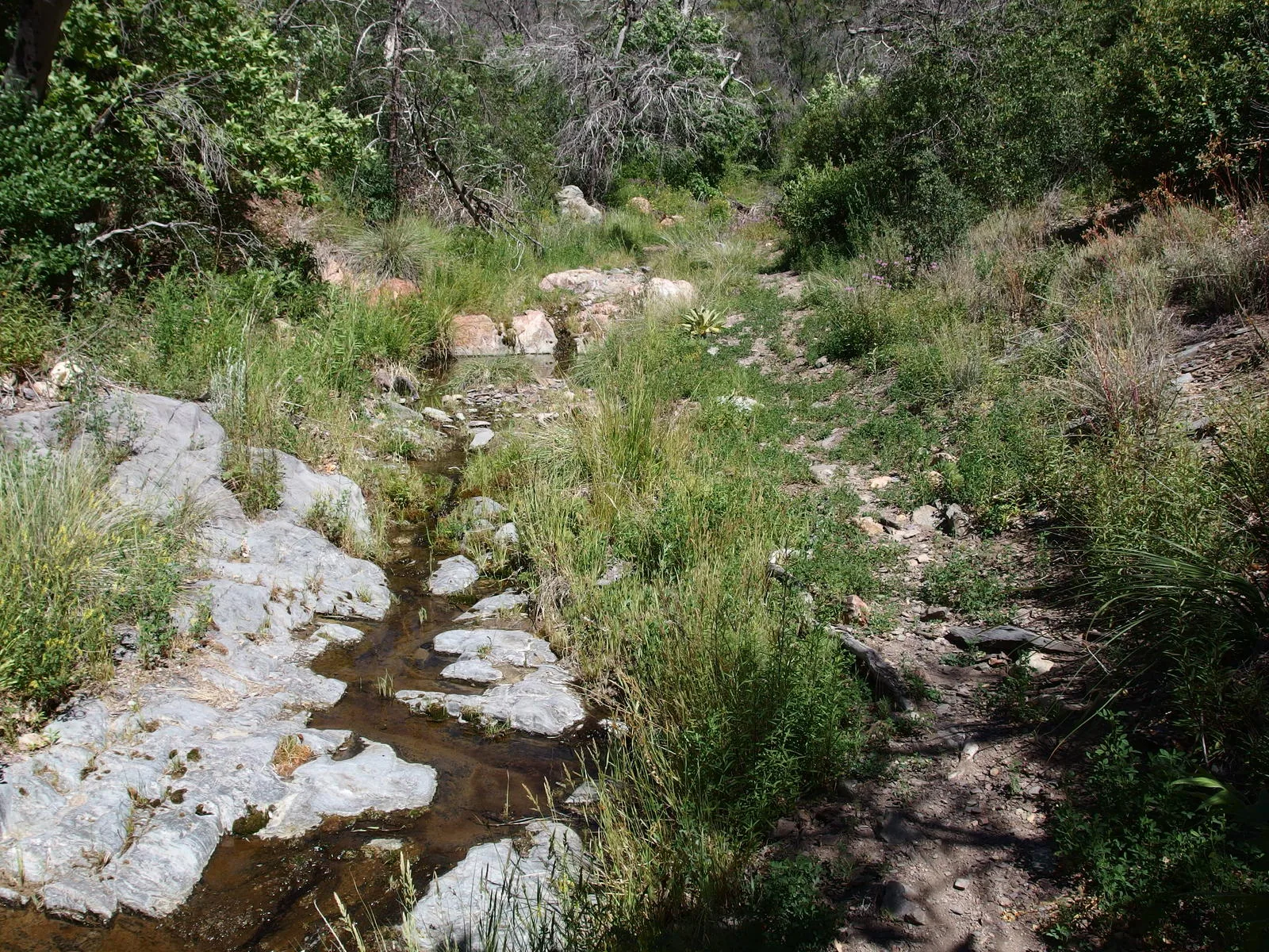
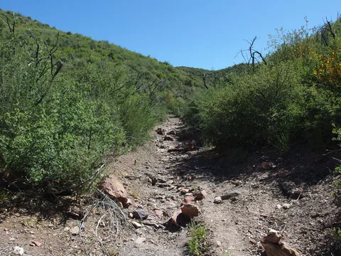 Walking in a wash
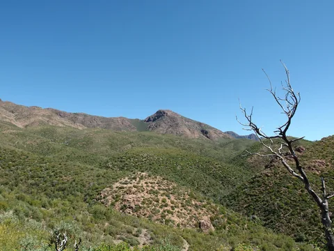 Looking over at Mount Peeley from West Fork Trail
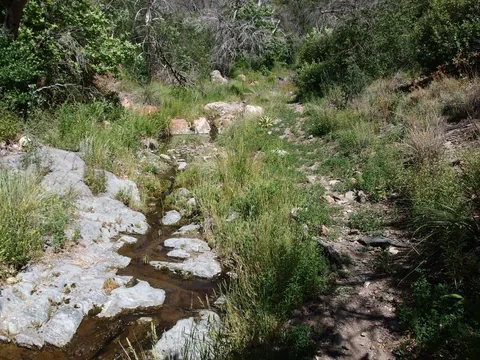 Pleasant sights along Cornucopia Trail
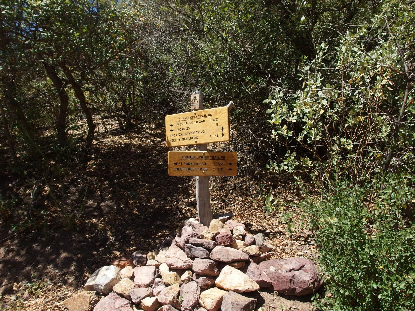
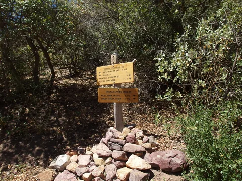 Busy trail junction
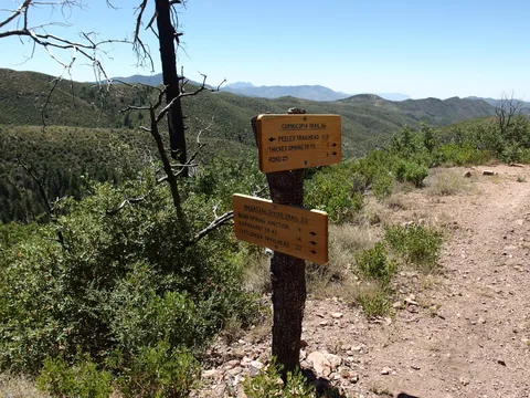 Finally at the northern turnaround
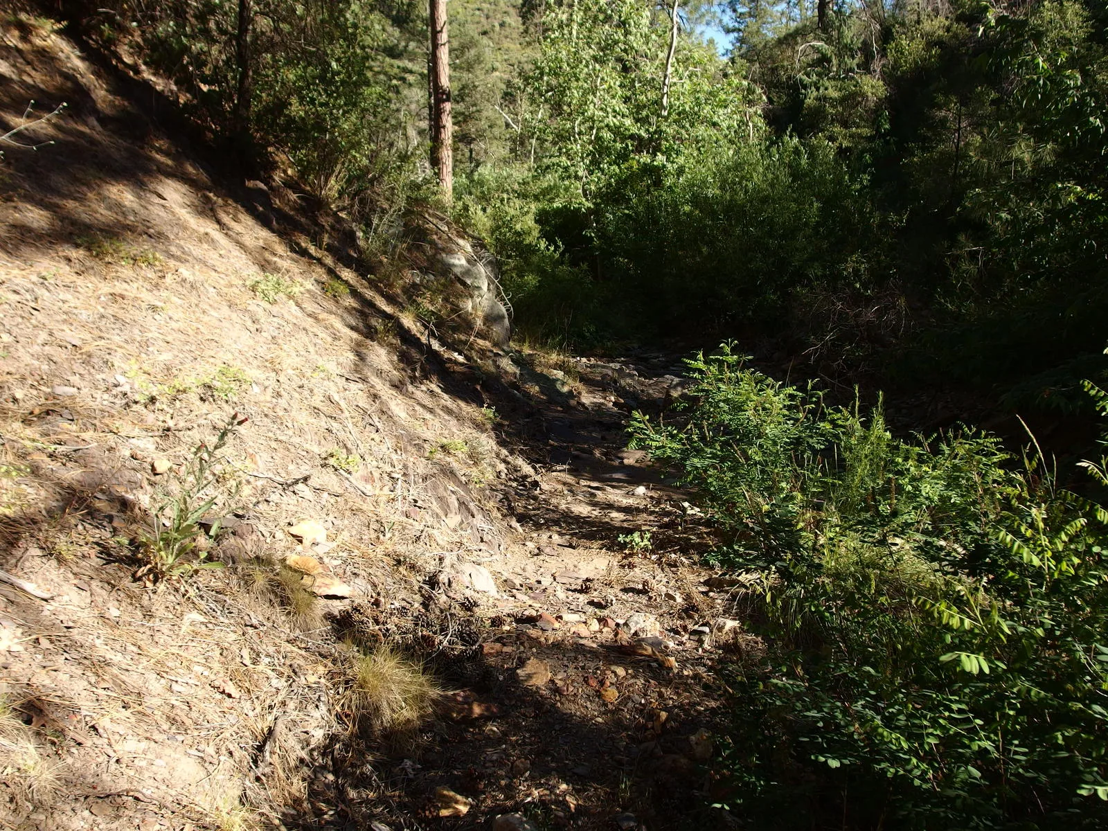
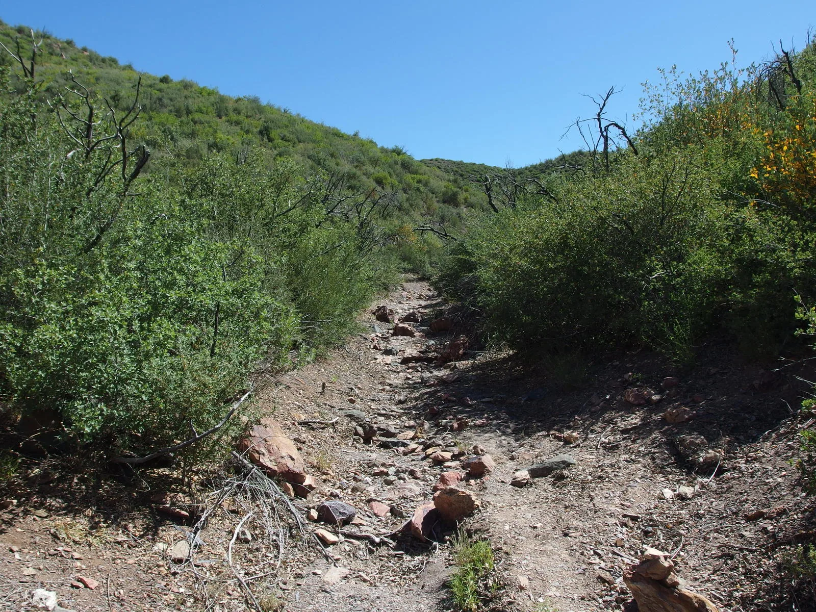
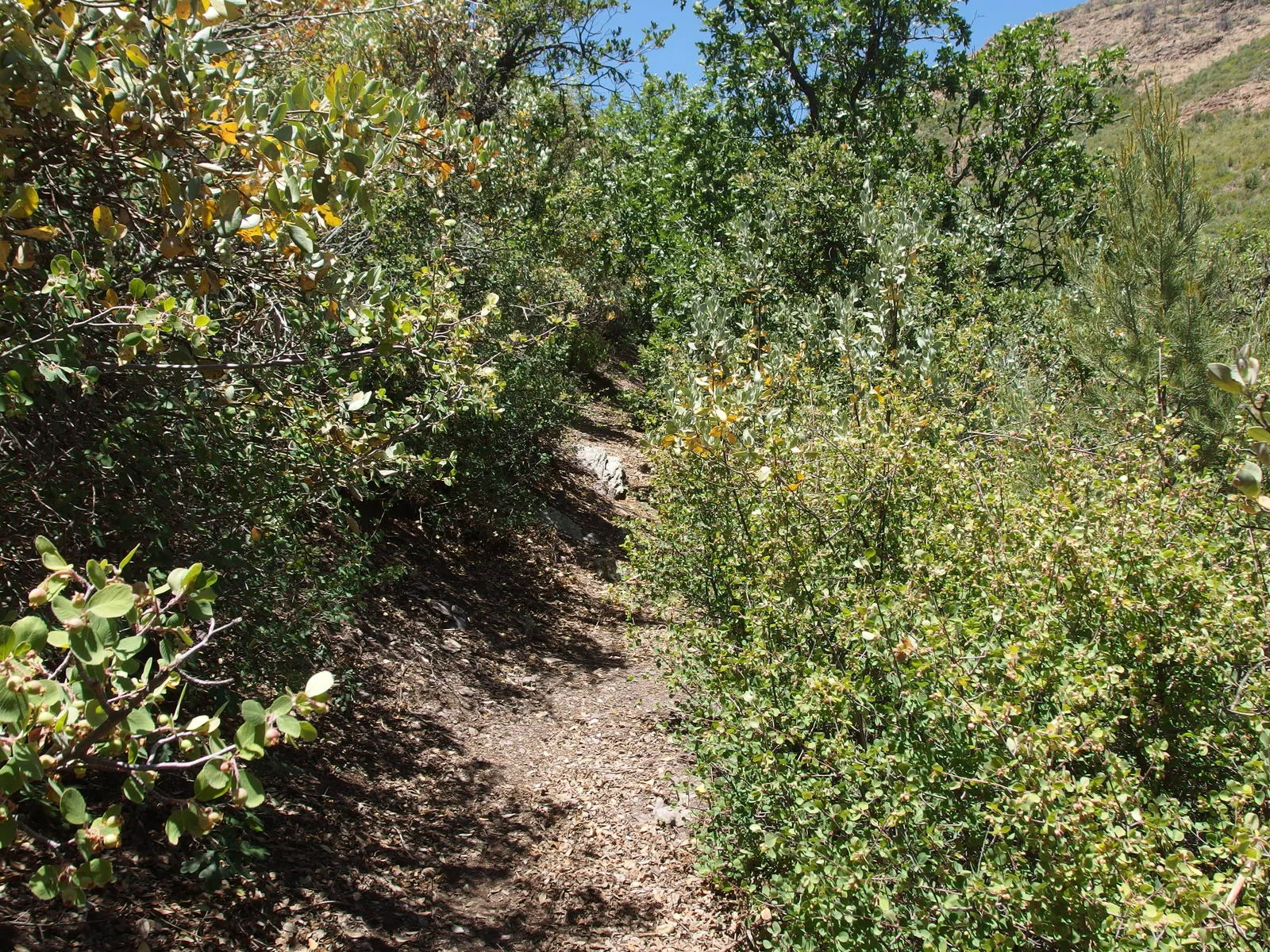
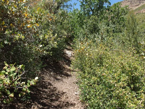 Some overgrown sections along Thicket Spring
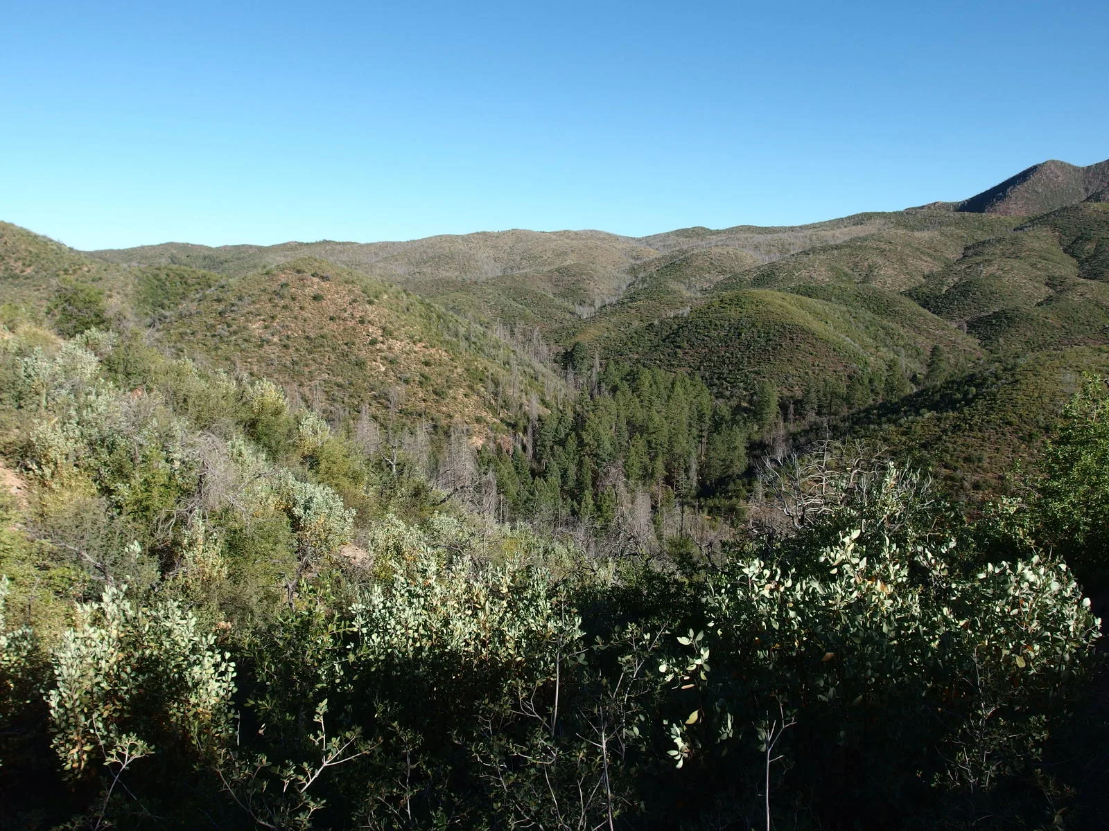
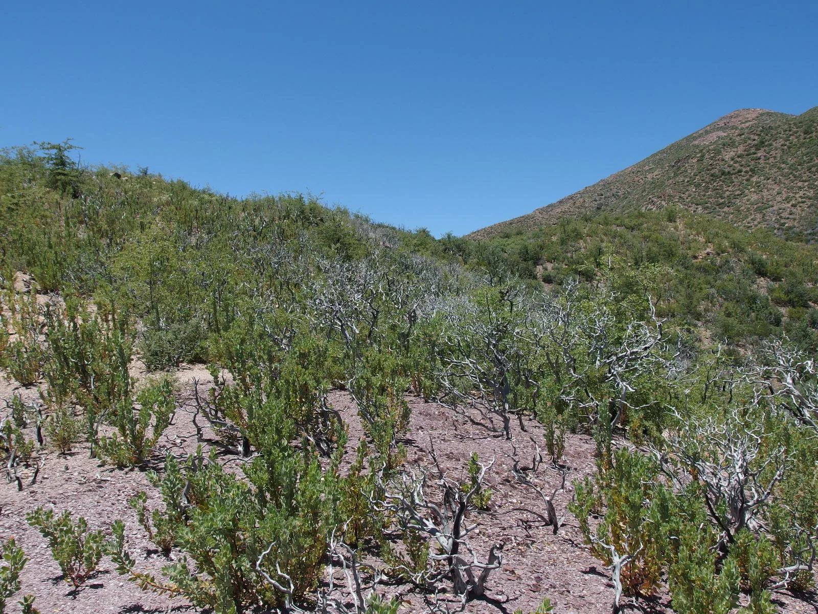
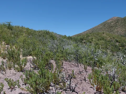 Charred landscape left from Sunflower Fire
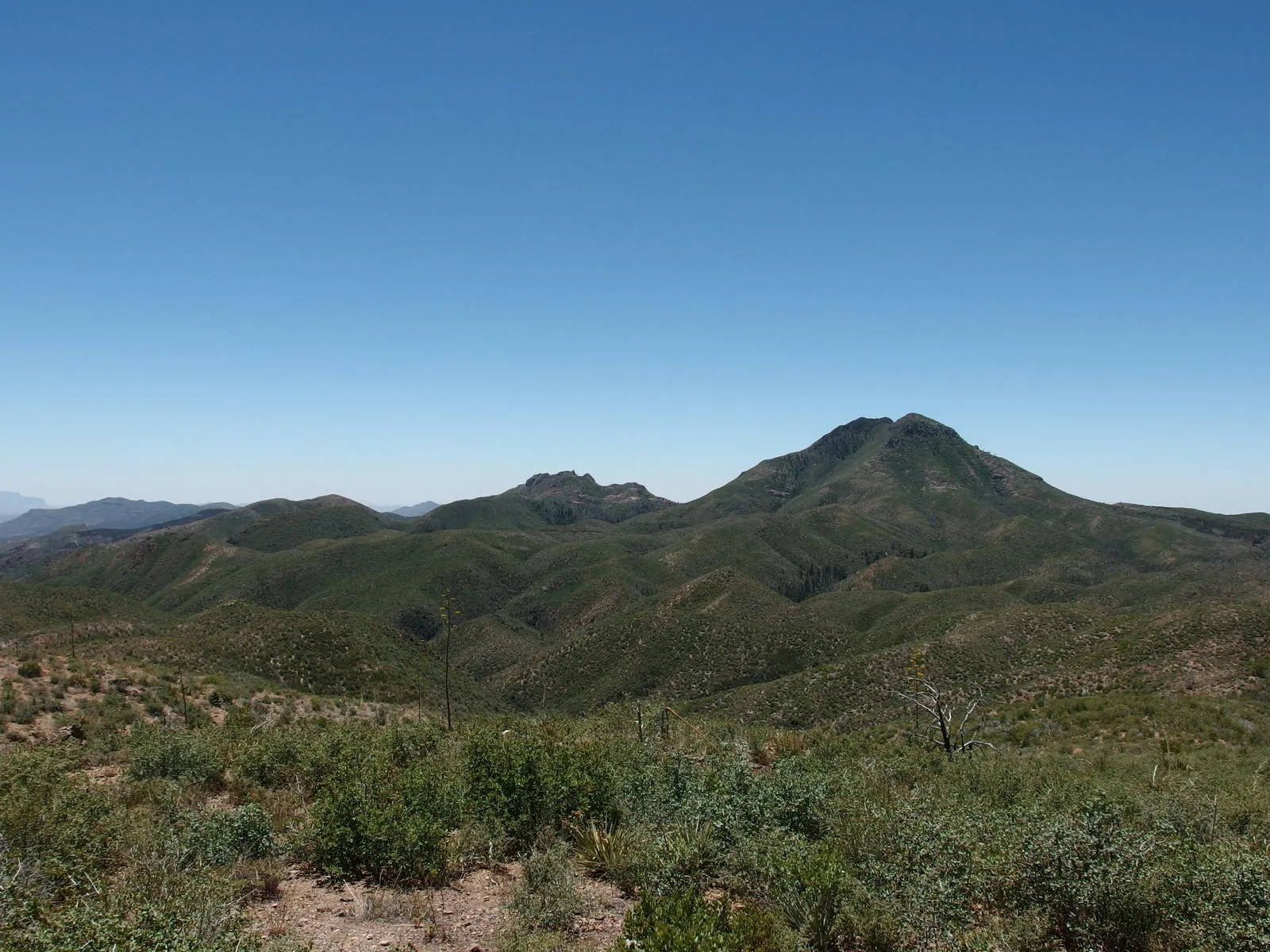
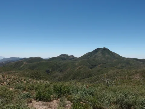 Looking down at the two Saddle Mountains
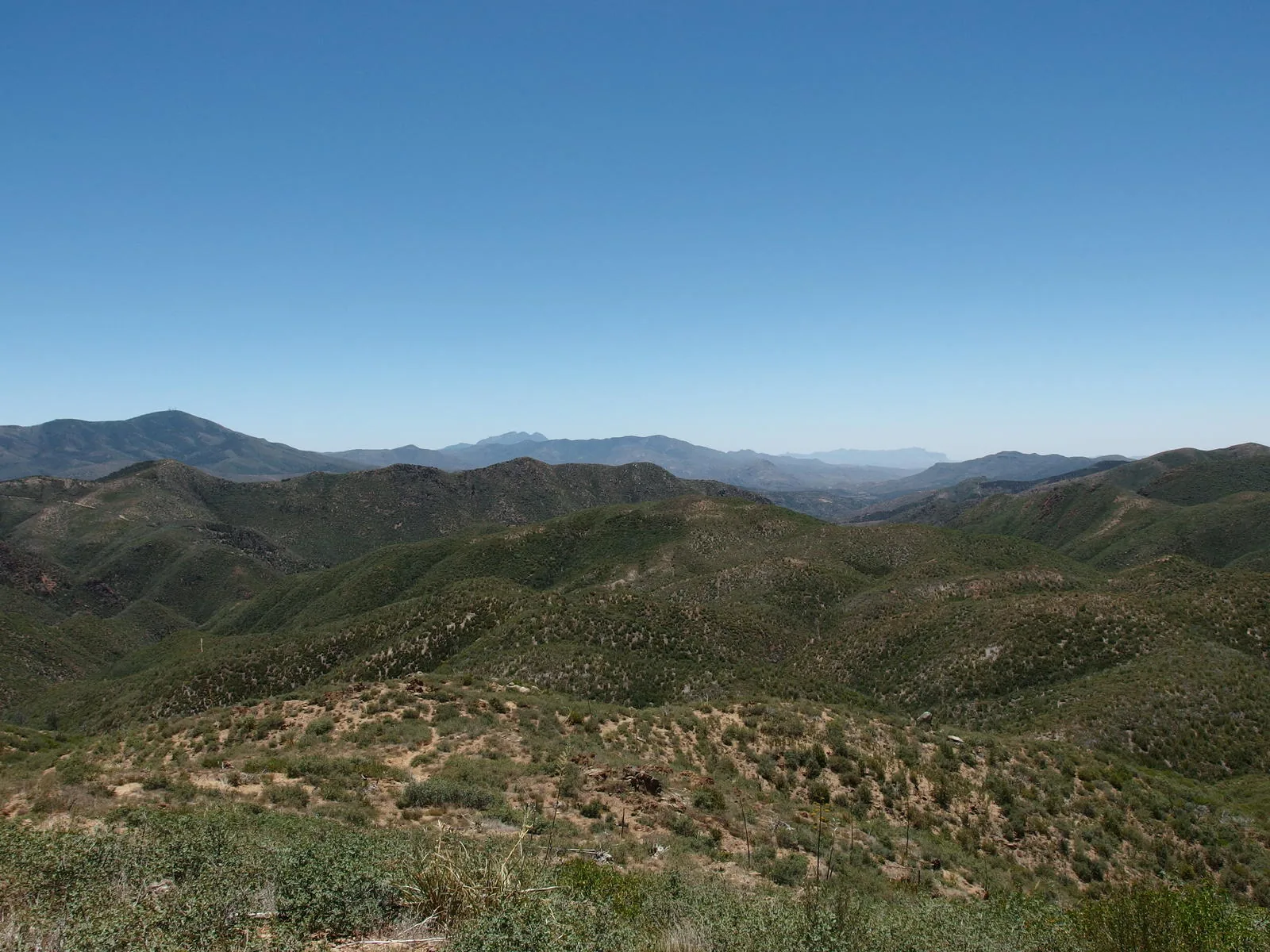
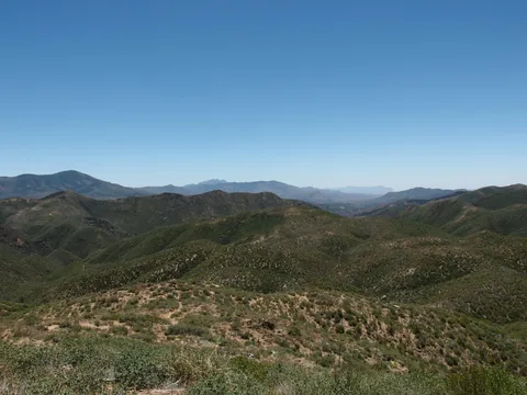 Big southern views of Four Peaks and Superstition Ridgeline
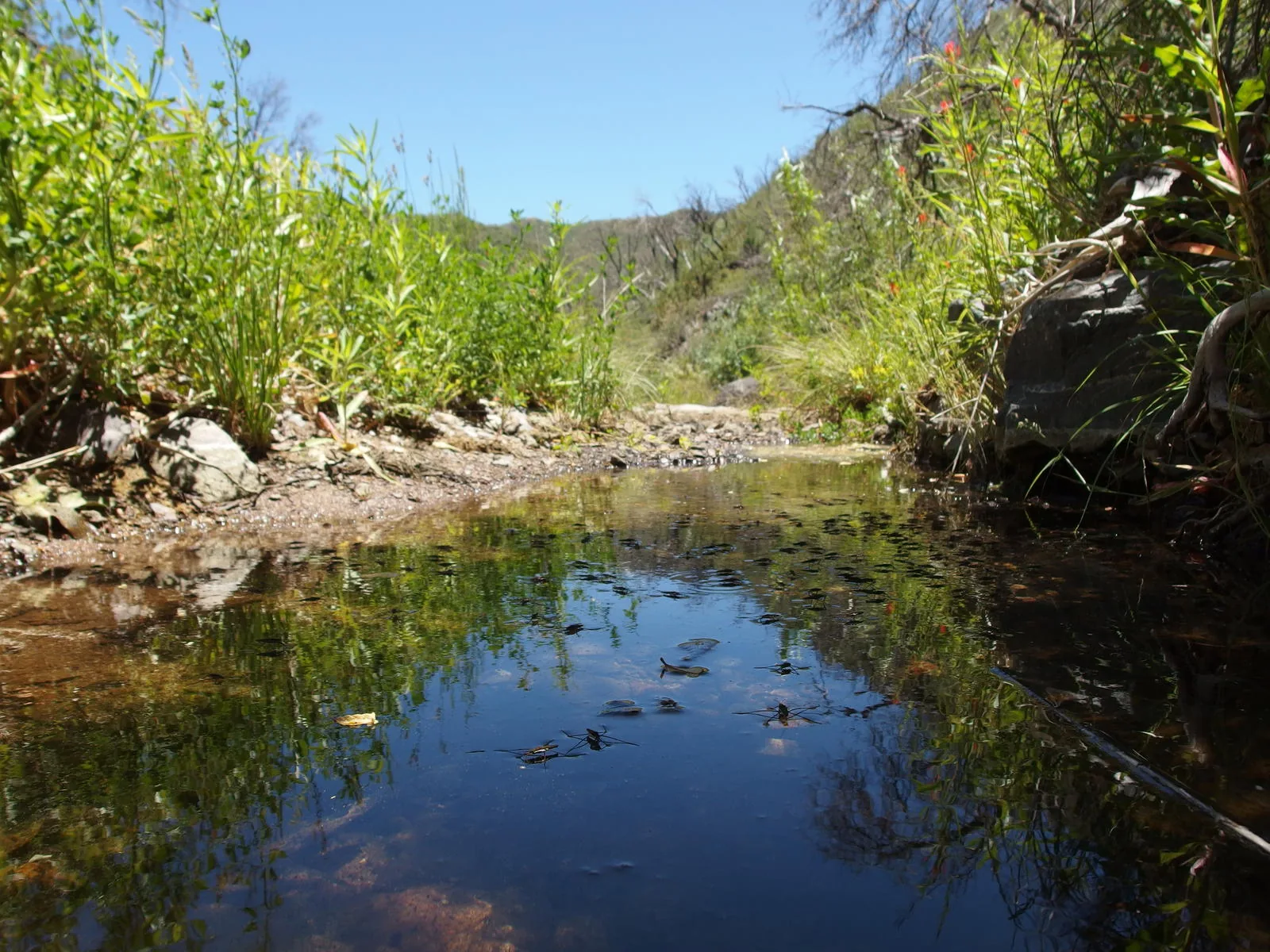
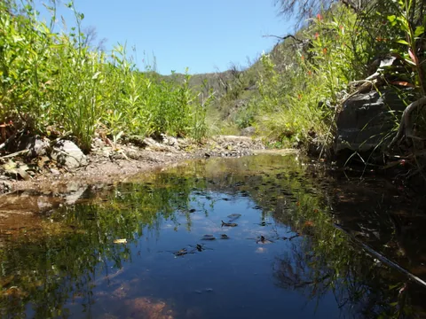 Stealing water from the water dancers
 Shade along FR 25A
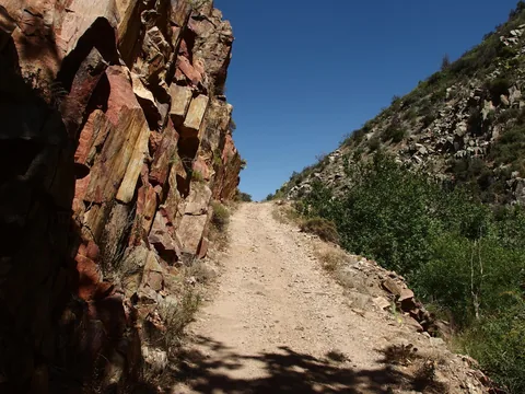 Some solid road construction along the way
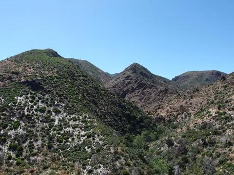 Climbing up from Sycamore Creek
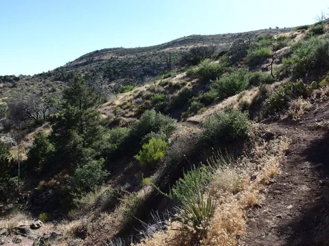 Afternoon sun on Sunflower Trail
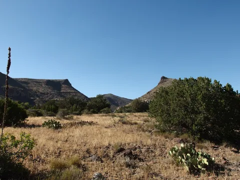 Looking north to the goal posts around Little Saddle Mountain Trail
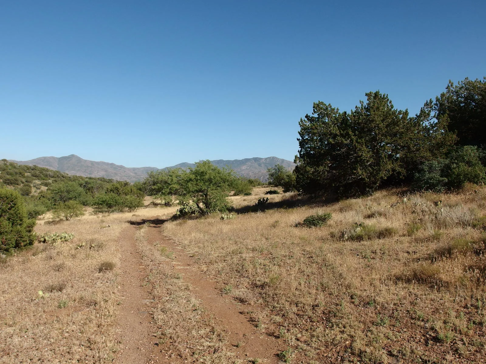
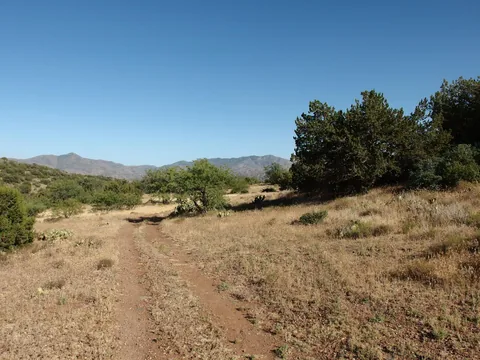 Galloping along a dusty two-track
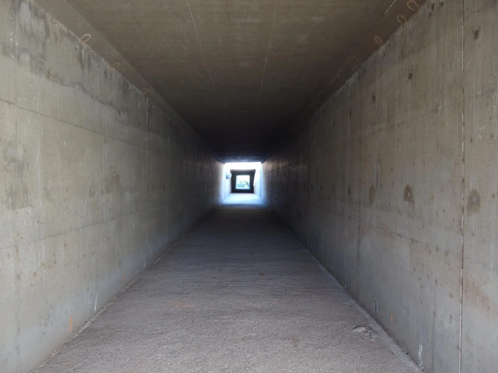
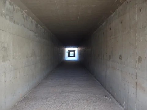 One way to cross a highway
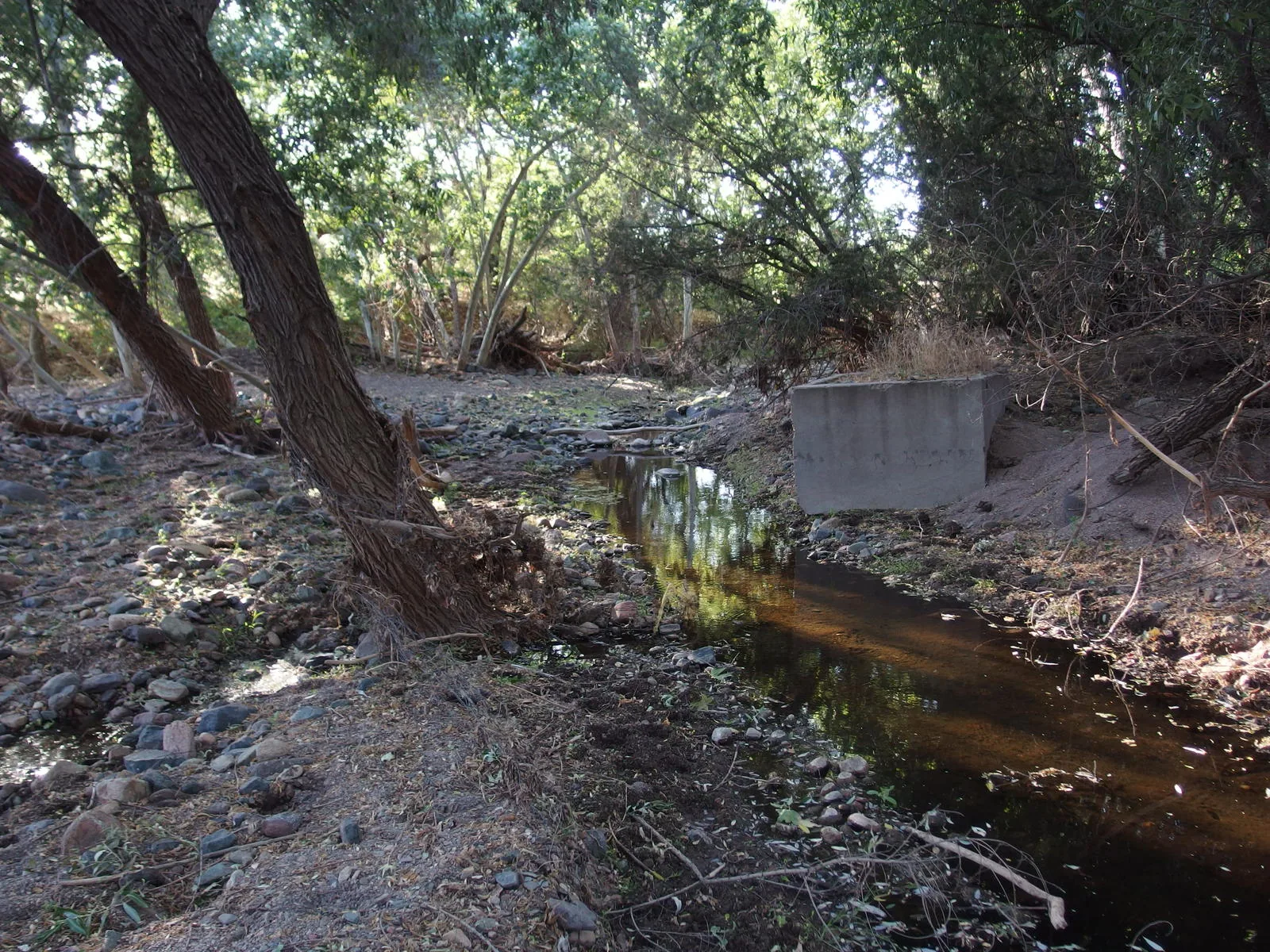
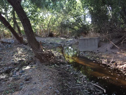 Another crossing of Sycamore Creek
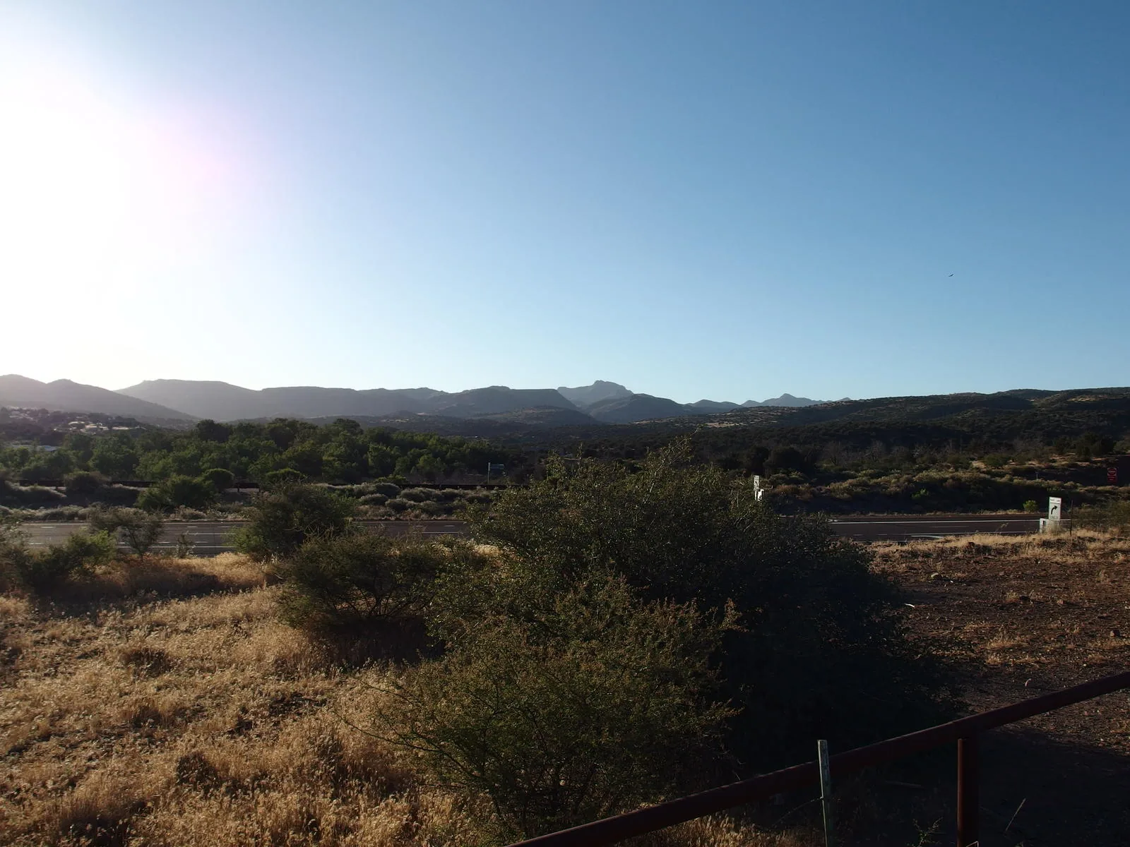
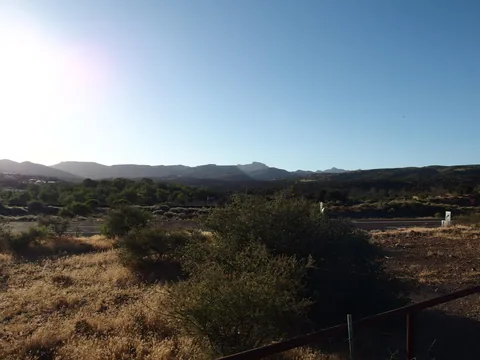 A hot, long look back at the mountains
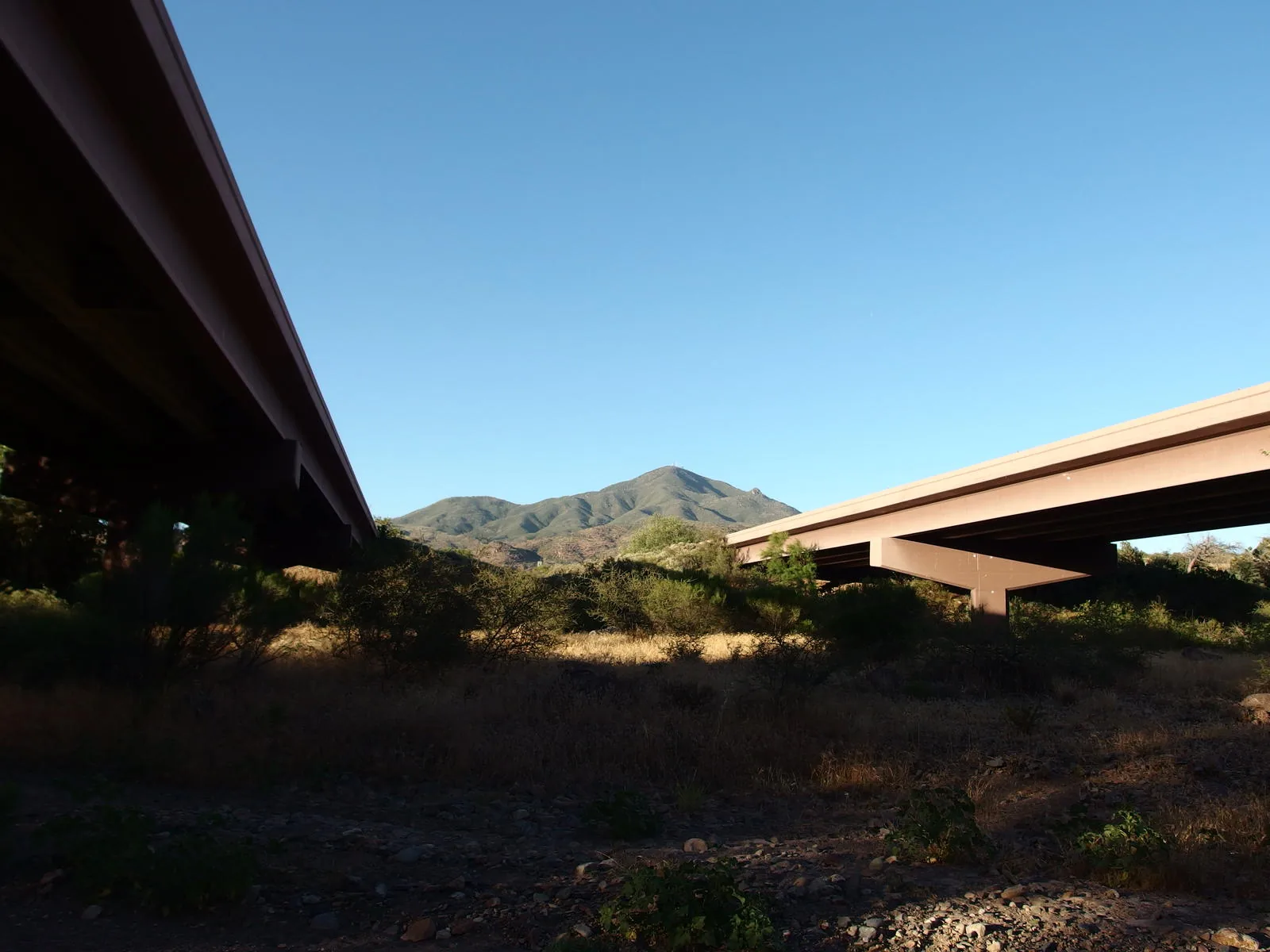
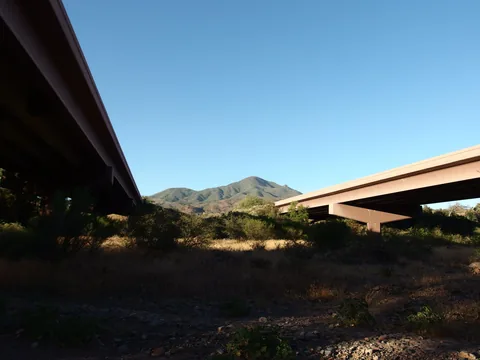 Mt Ord from between the highway bridges
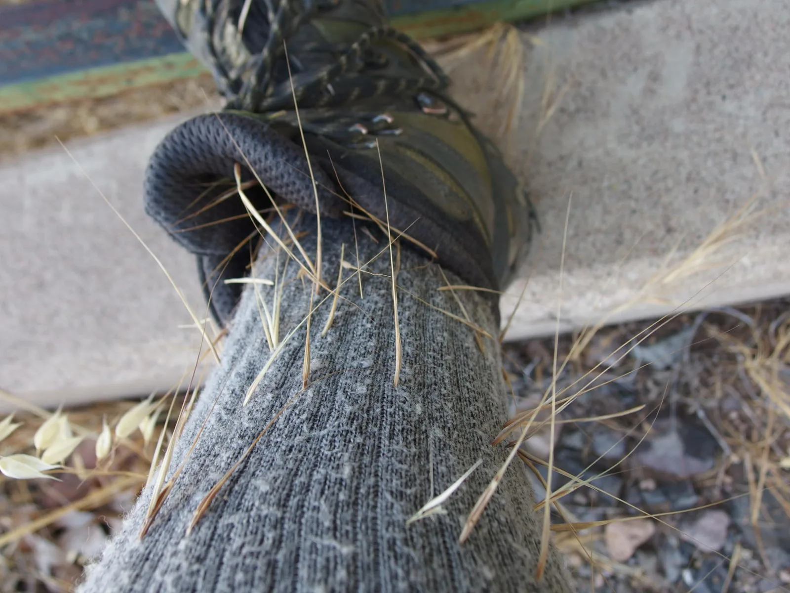
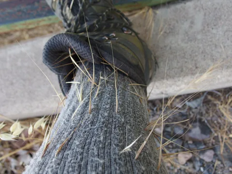 Darn foxtails - hurt as bad as cactus needles
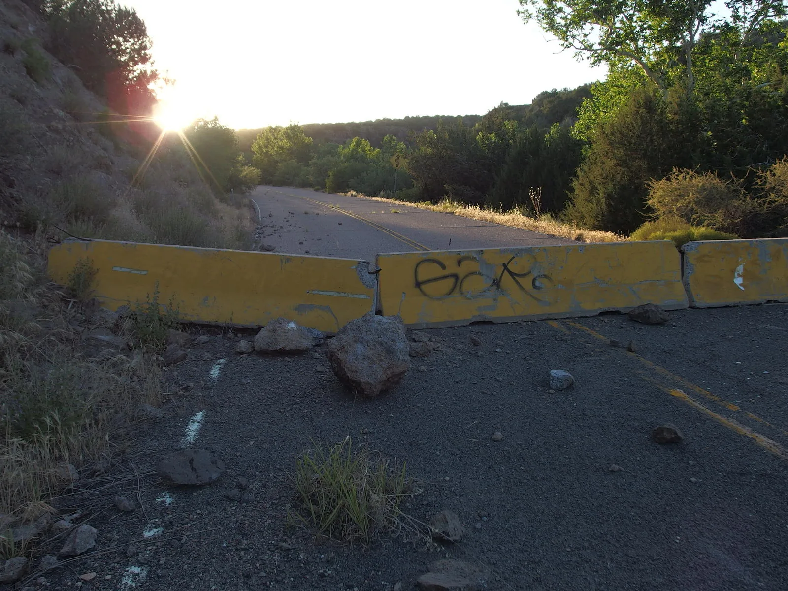
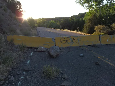 Old, abandoned road
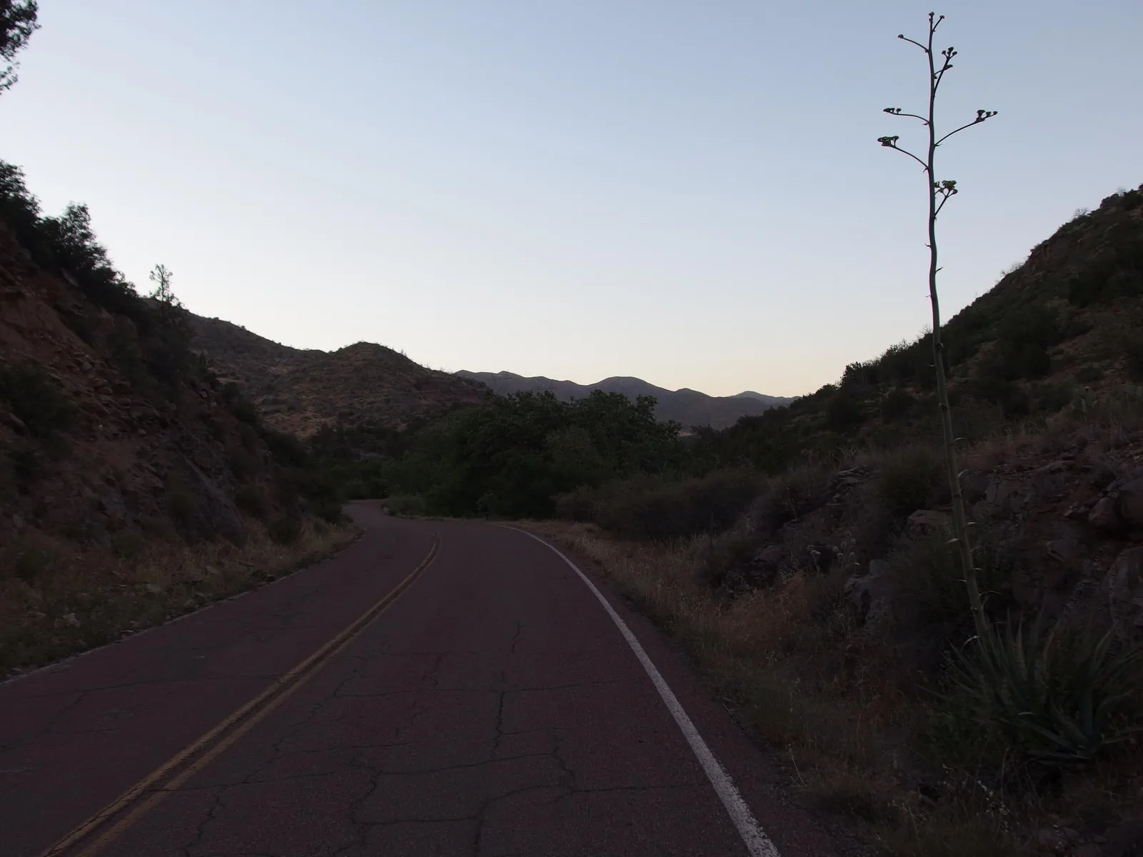
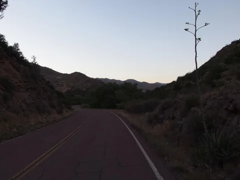 Last remnants of daylight at the end of a long day
Along the way
Spring 1
- Squaw Flat Spring
Creek 1
- McFarland Canyon at Sheep Creek Trail
Mountain 1
- Saddle Mountain
Camping 1
- Squaw Flat campsite
Trailhead 3
- Mormon Grove Trailhead
- Cross F Trailhead
- Bushnell Tanks
Junction 4
- Sheep Creek / Saddle Mountain Trail Junction
- Saddle / Little Saddle Trail Junction
- West Fork / Cornucopia Trail Junction
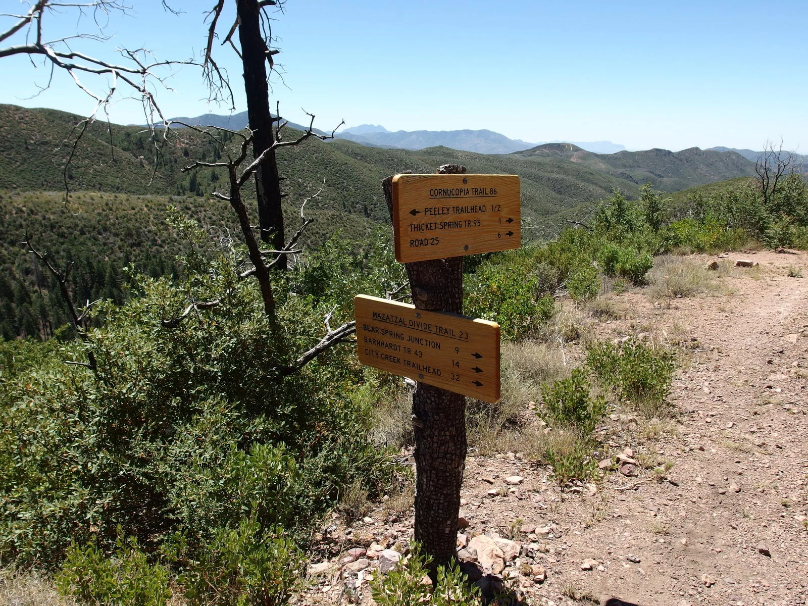
- Cornucopia / Mazatzal Divide Trail Junction