South Fork - Gold Ridge Loop
13.4 mi3,189 ft
6,109 ft
3,317 ft
Classic eastern Mazatzal loop trail, combining the bare ridgeline of Gold Ridge and the densely forested South Fork trail.
Photos
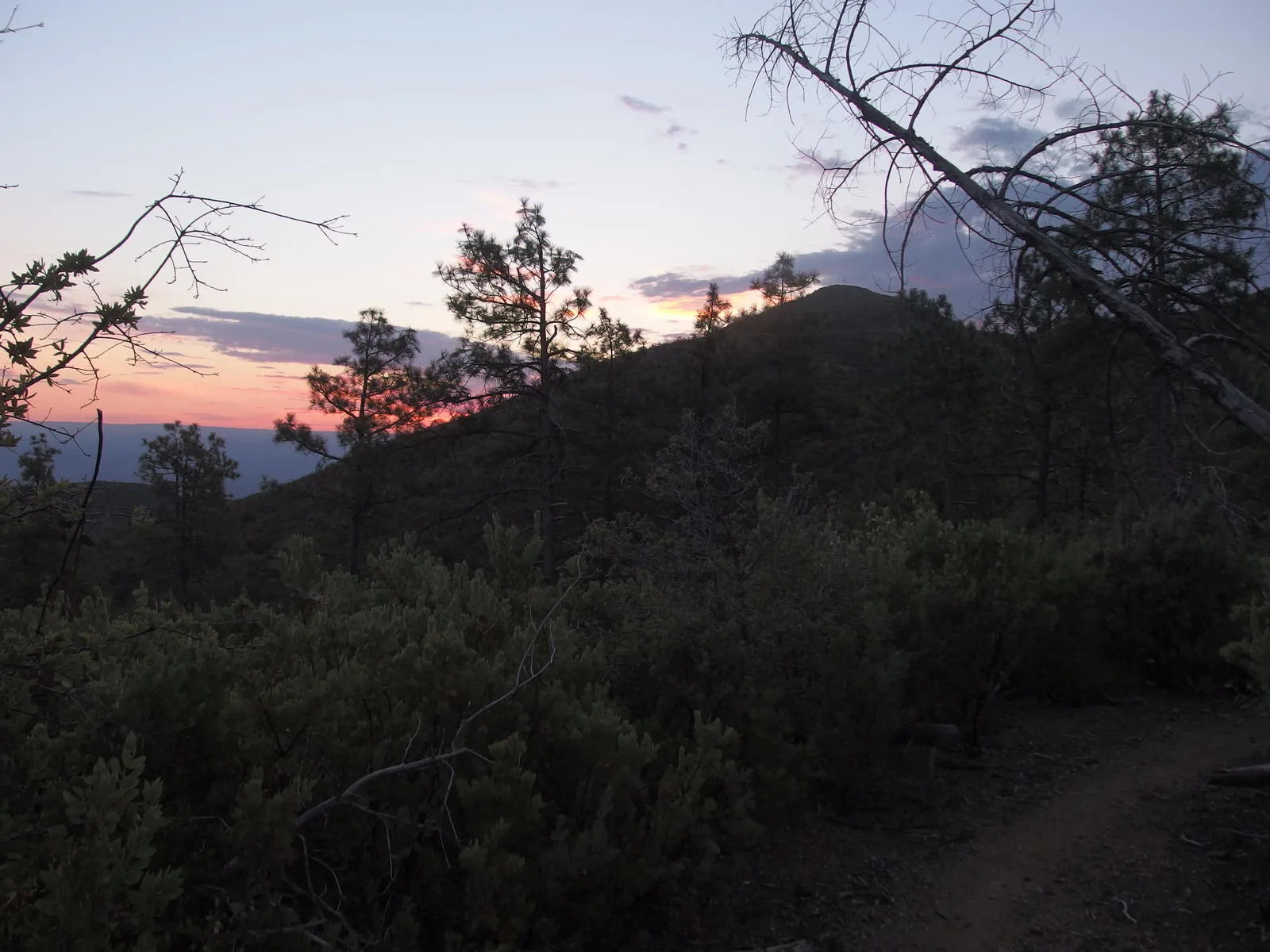
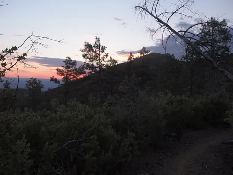 Early morning light over Gold Ridge Trail
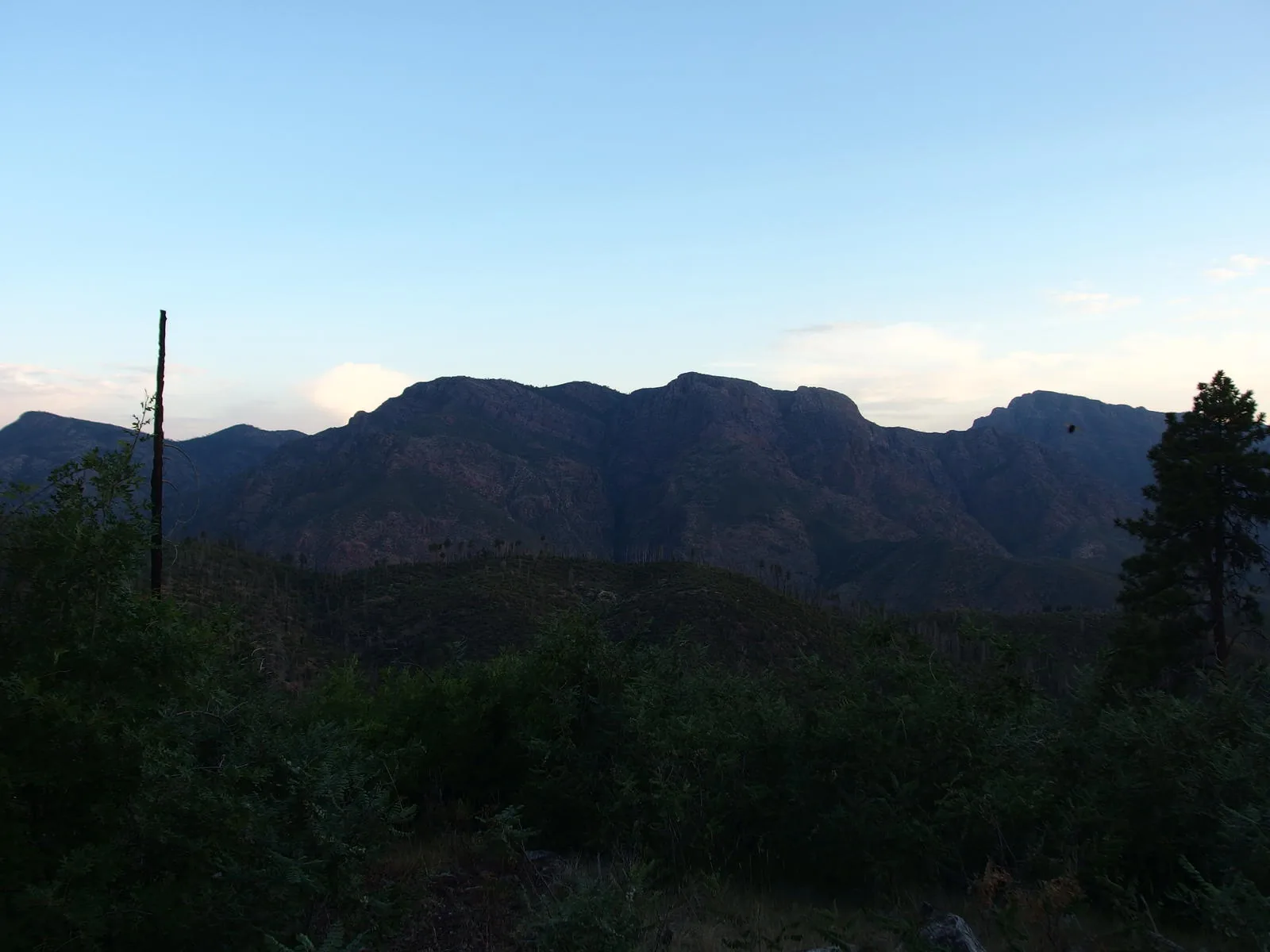
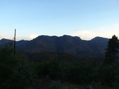 Mazatzal Ridgeline to the north
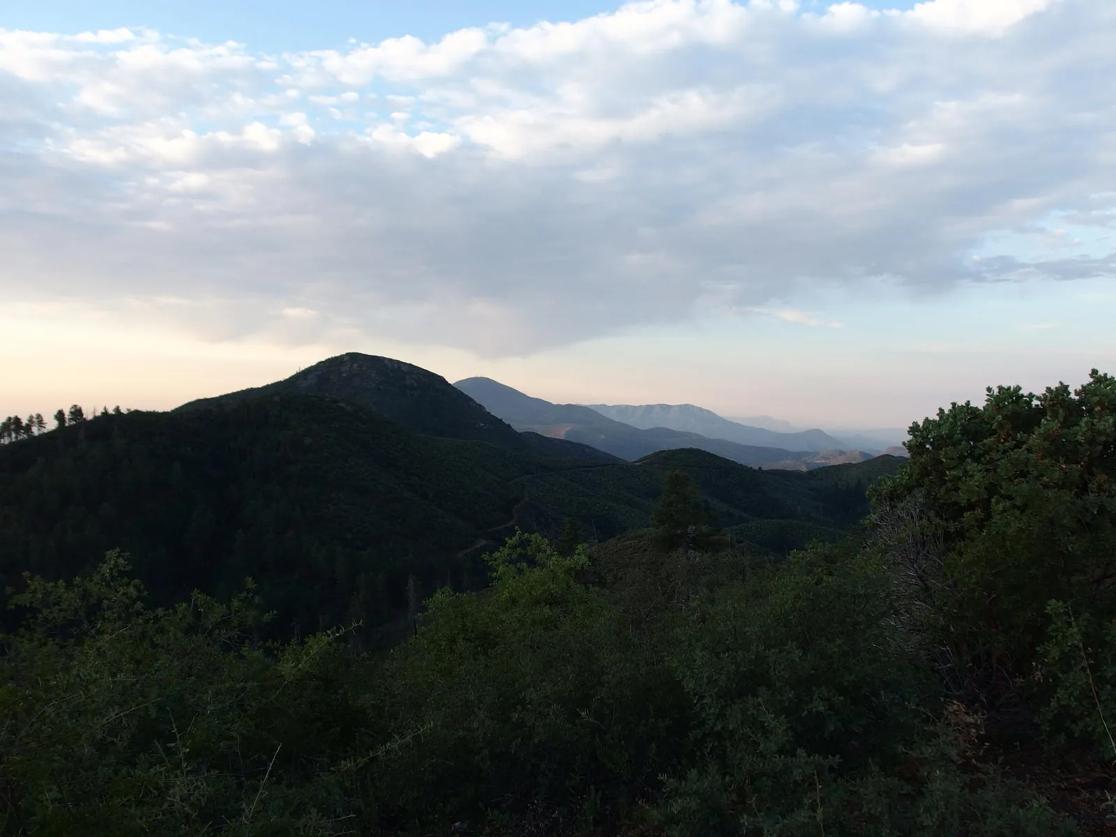
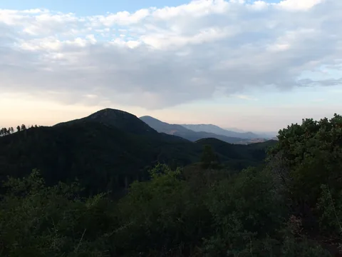 Mt Ord and Boulder to the south
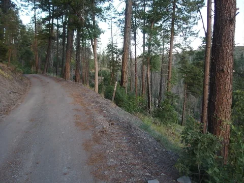 The start of South Fork Trail
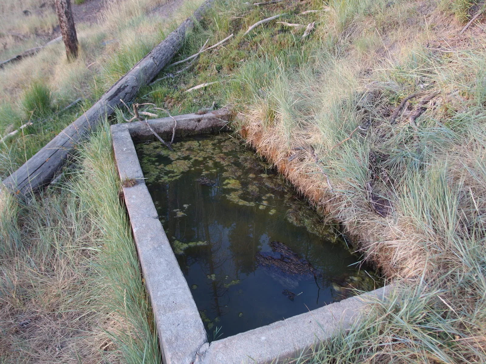
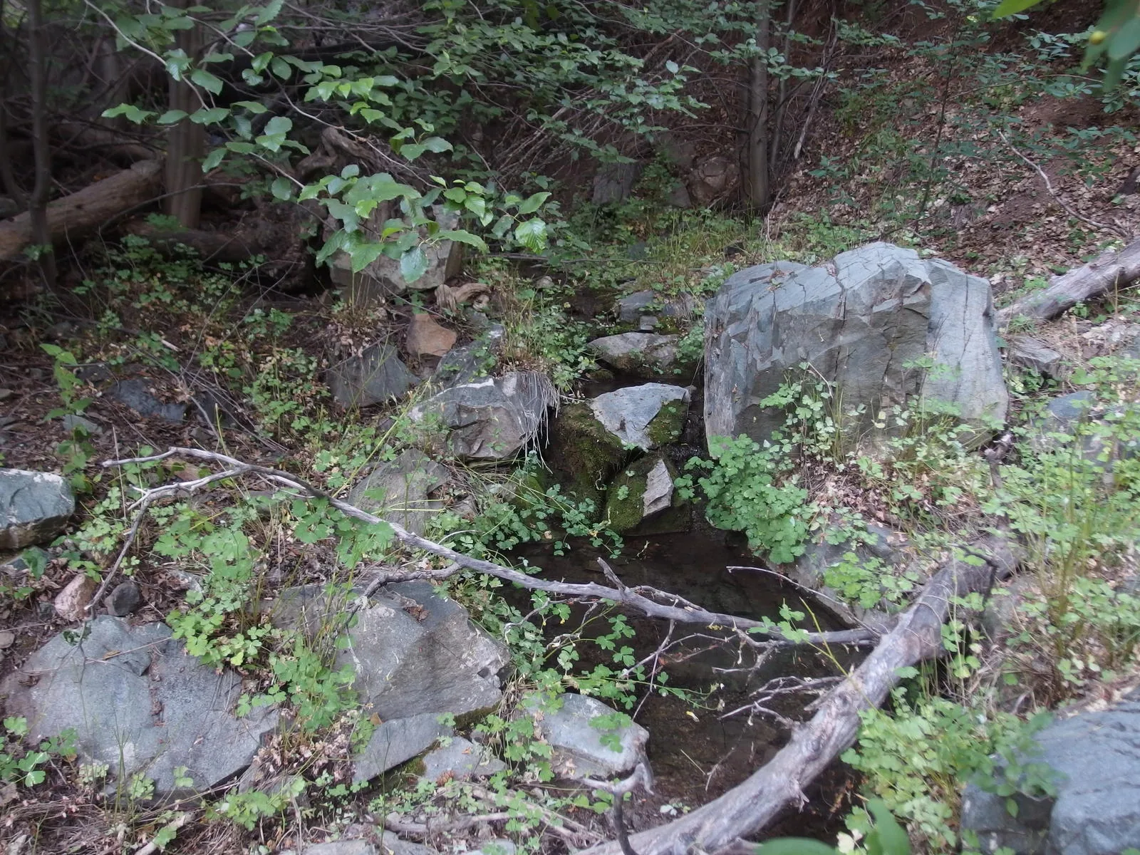
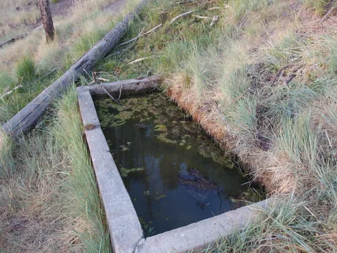 Pigeon Spring
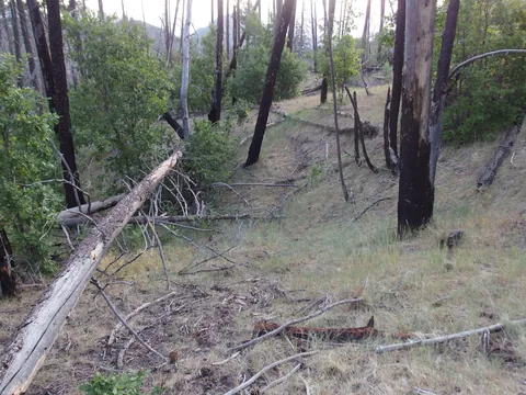 Faint trail through the grasslands
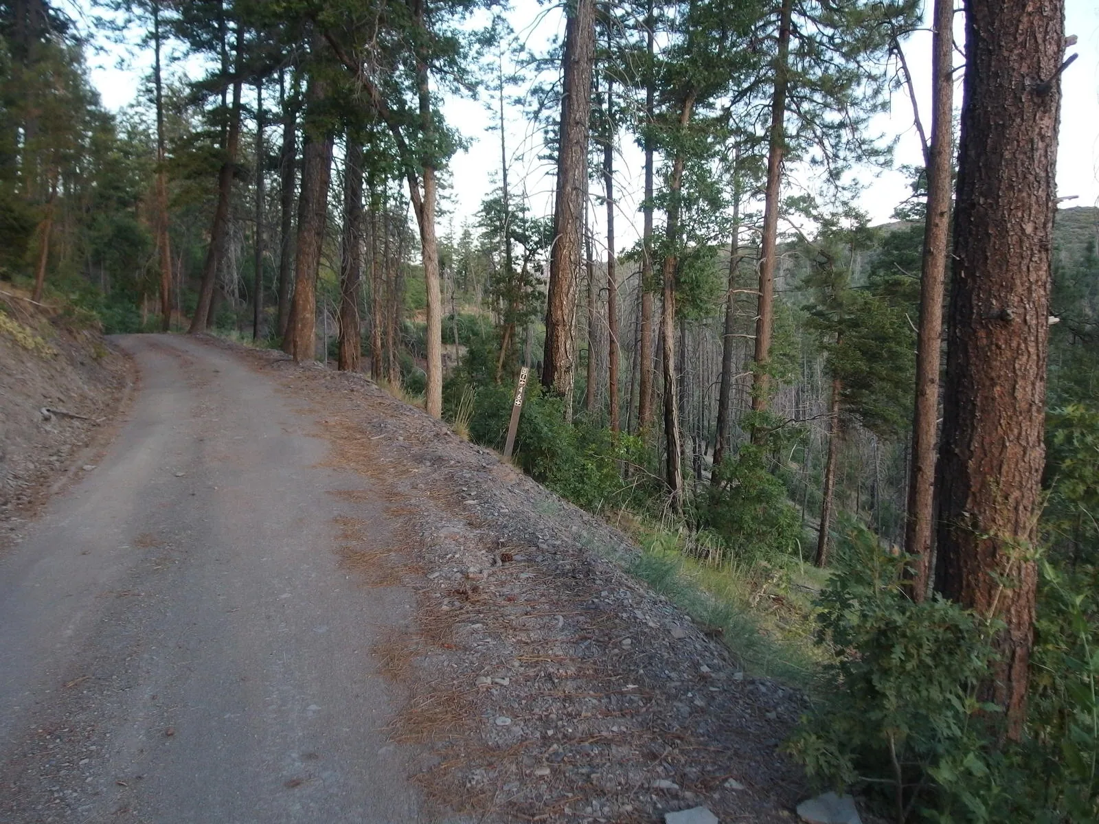
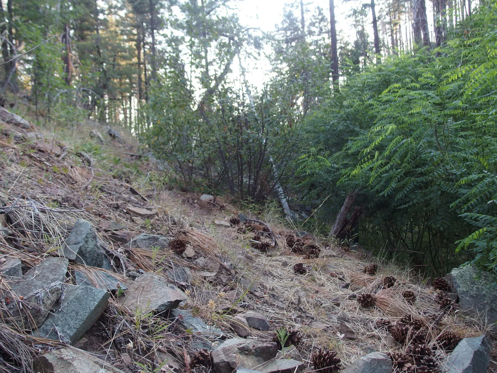
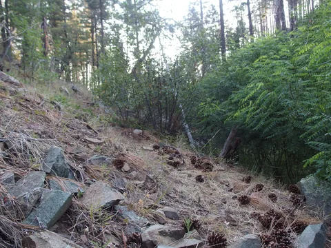 Pine needles and rocks along the trail
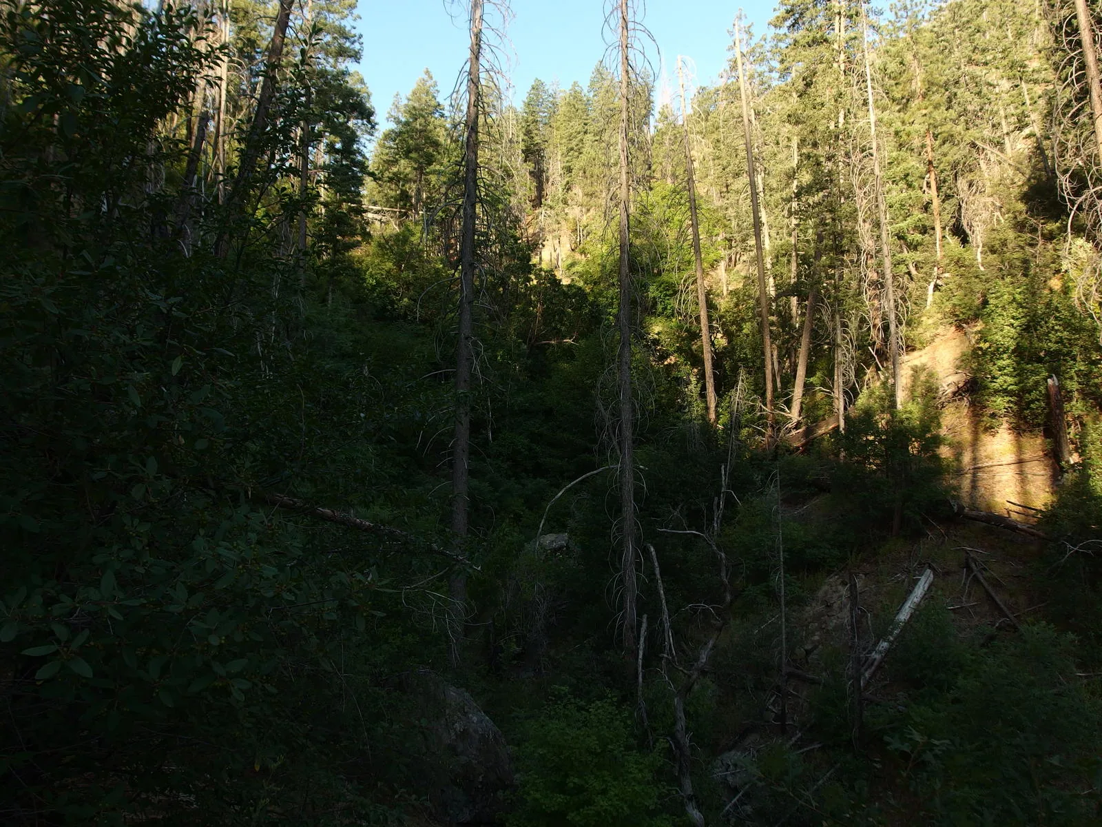
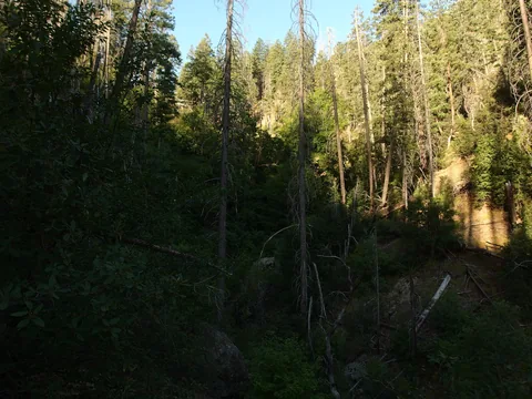 A mostly shaded creek
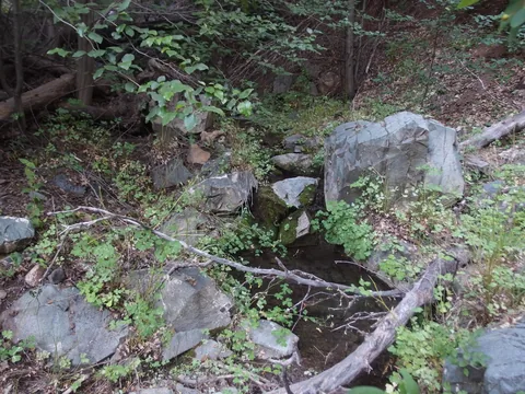 Trickling, year-round water source
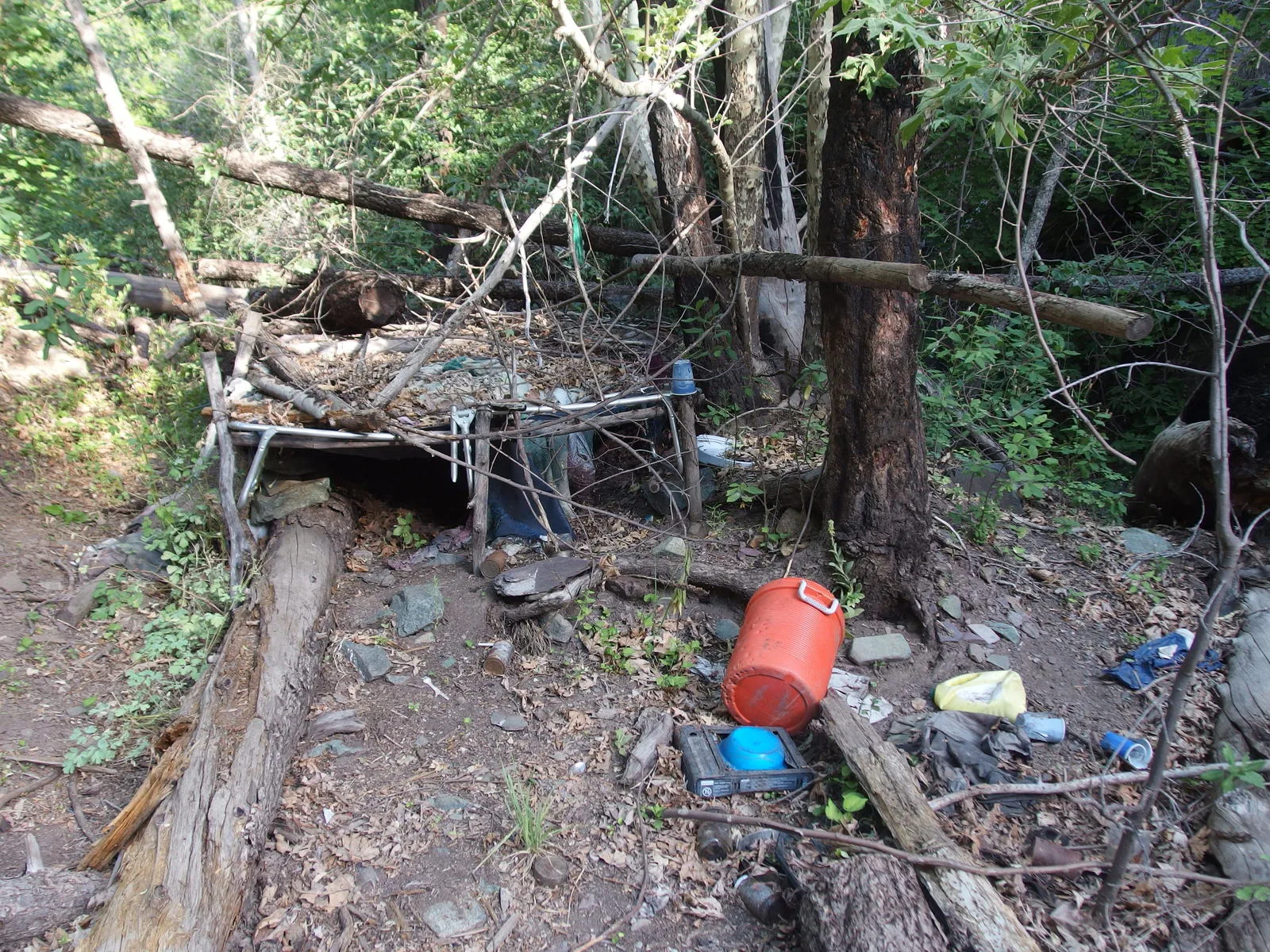
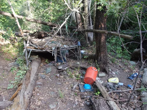 Remains of an old, illegal, camp
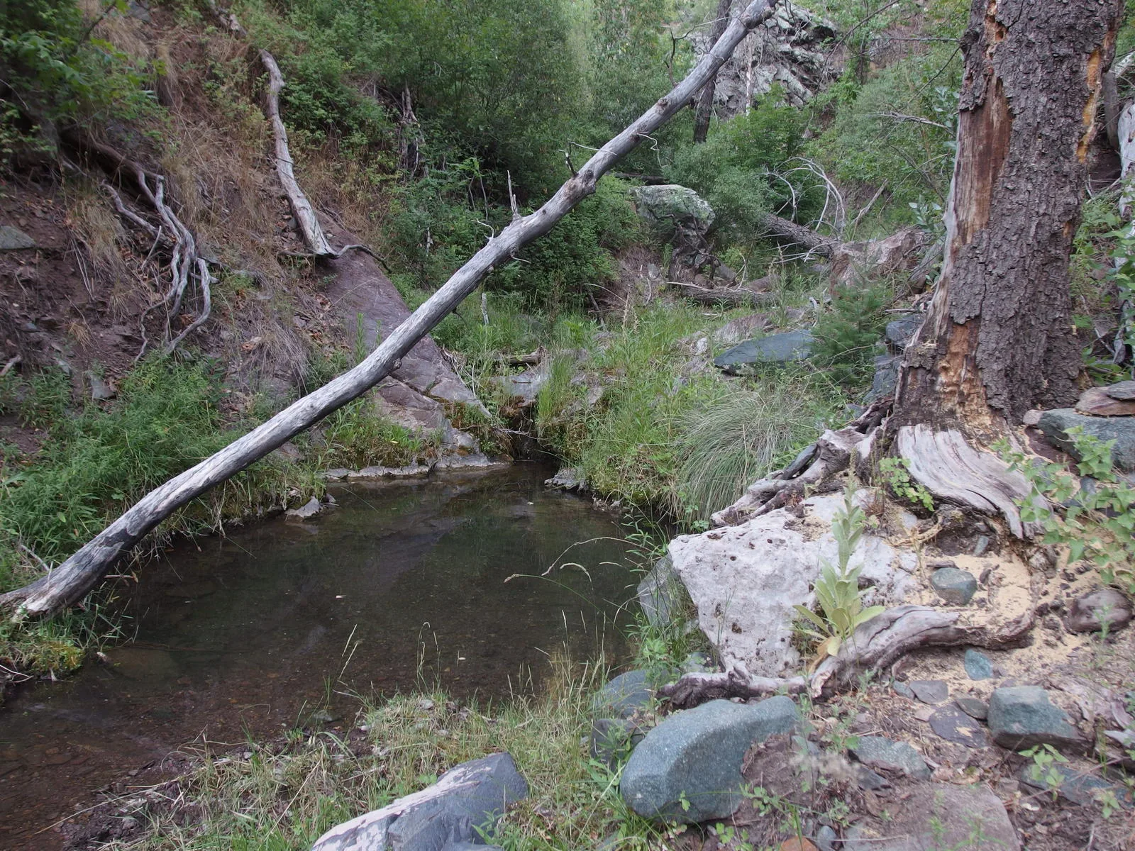
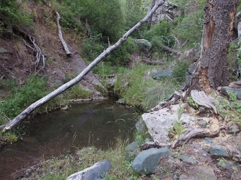 A deep pool along the path
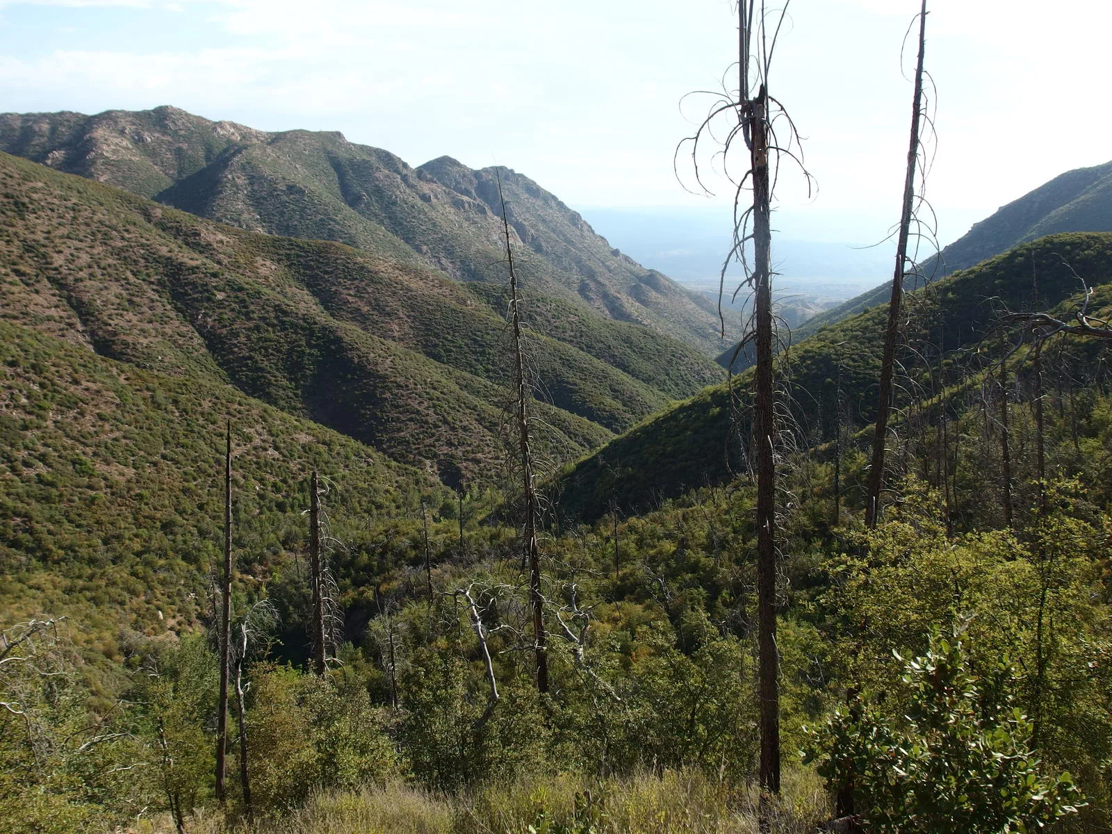
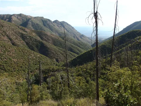 Still a long ways to go today
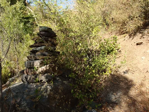 One tall cairn
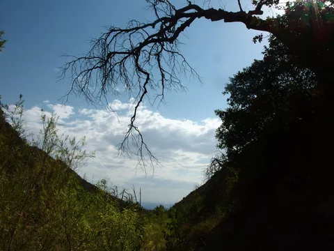 Promises of storms to come
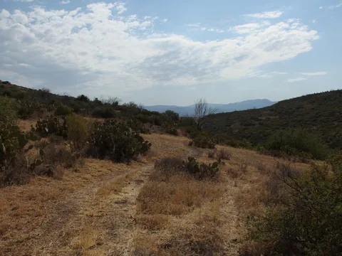 On the flat, grassy lowlands
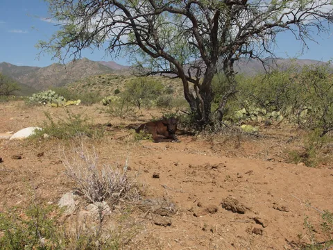 Chilling in the shade
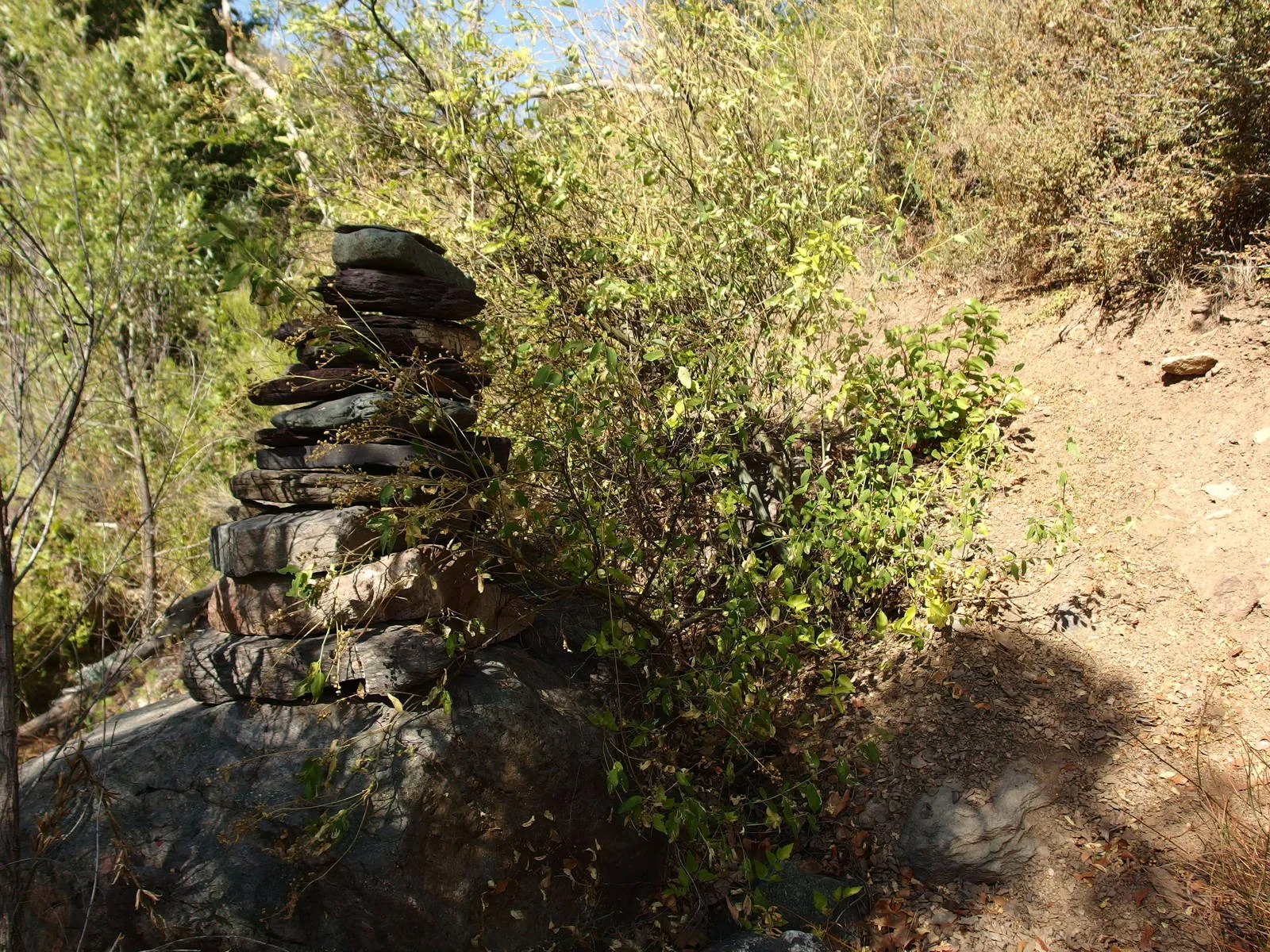
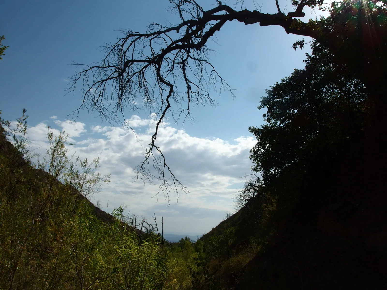
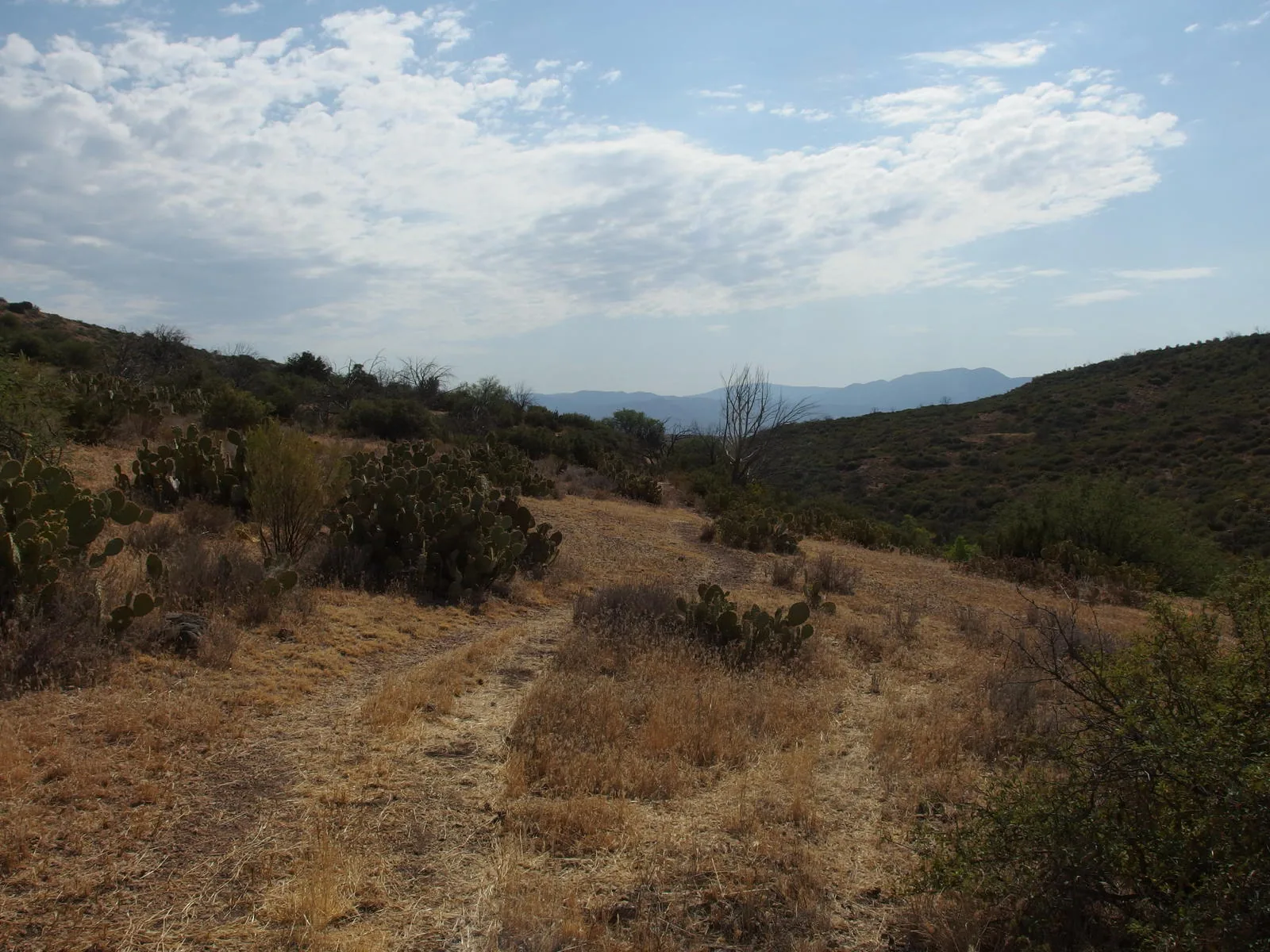
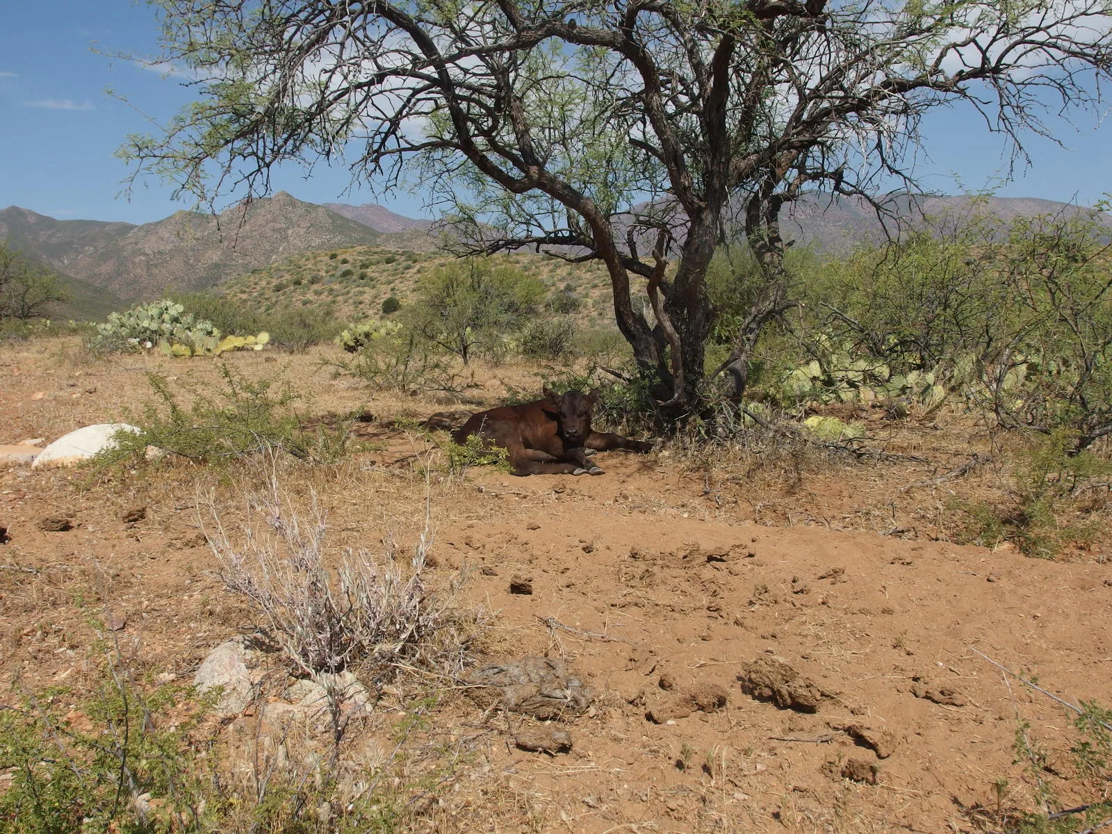
Along the way
Spring 1
- Pigeon Spring
Trailhead 3
- Gold Ridge Trail
- South Fork Trail
- Deer Creek Trailhead
Junction 1
- South Fork / Deer Creek Trail Junction