Sheep Creek
29.6 mi6,844 ft
6,099 ft
3,048 ft
A very long route that includes hiking along the AZT, down the rugged Sheep Creek Trail, and connected with Davenport to climb back out. Is not a full loop, requires a shuttle.
Photos
 Early light on Squaw Flat
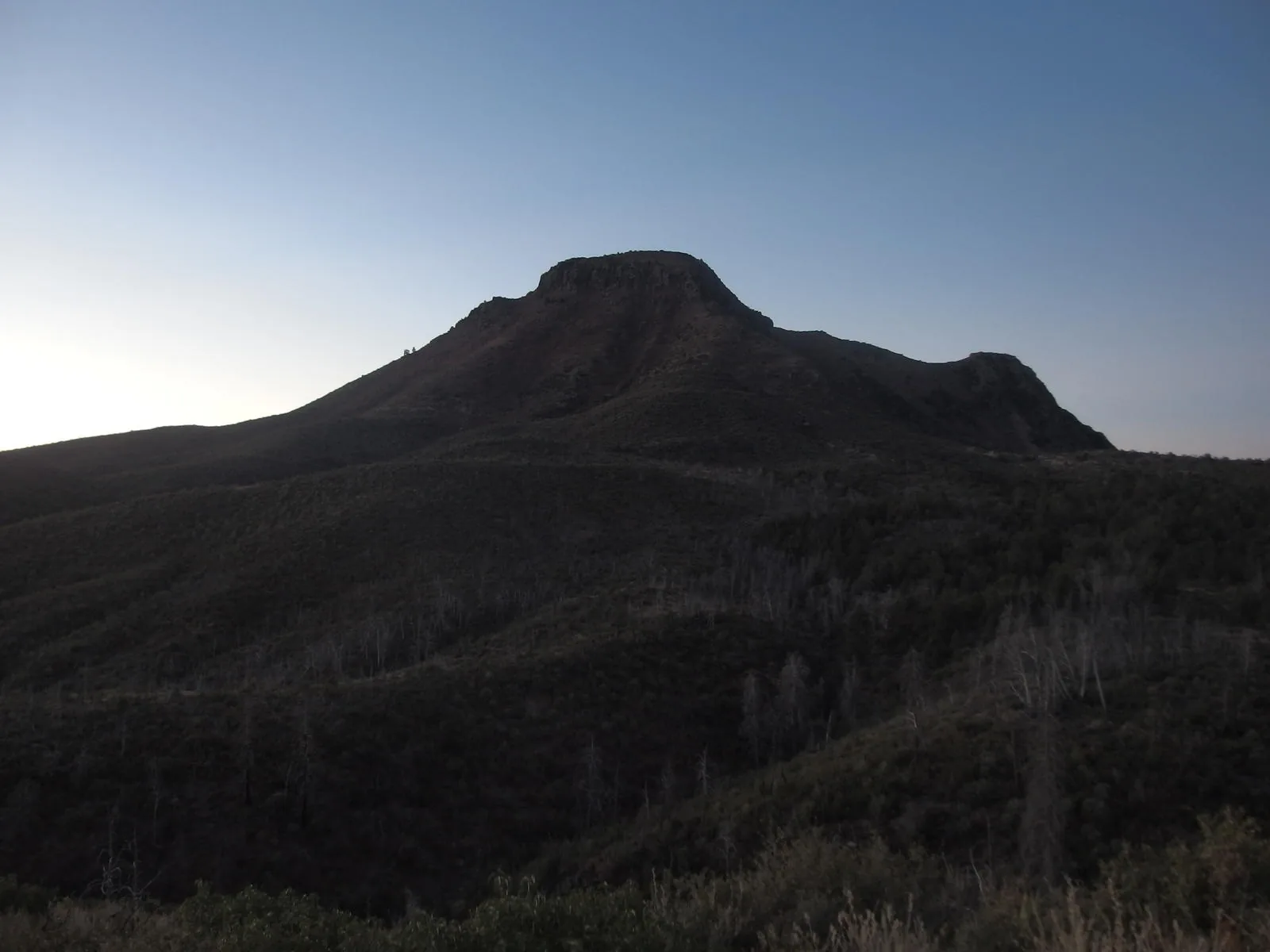
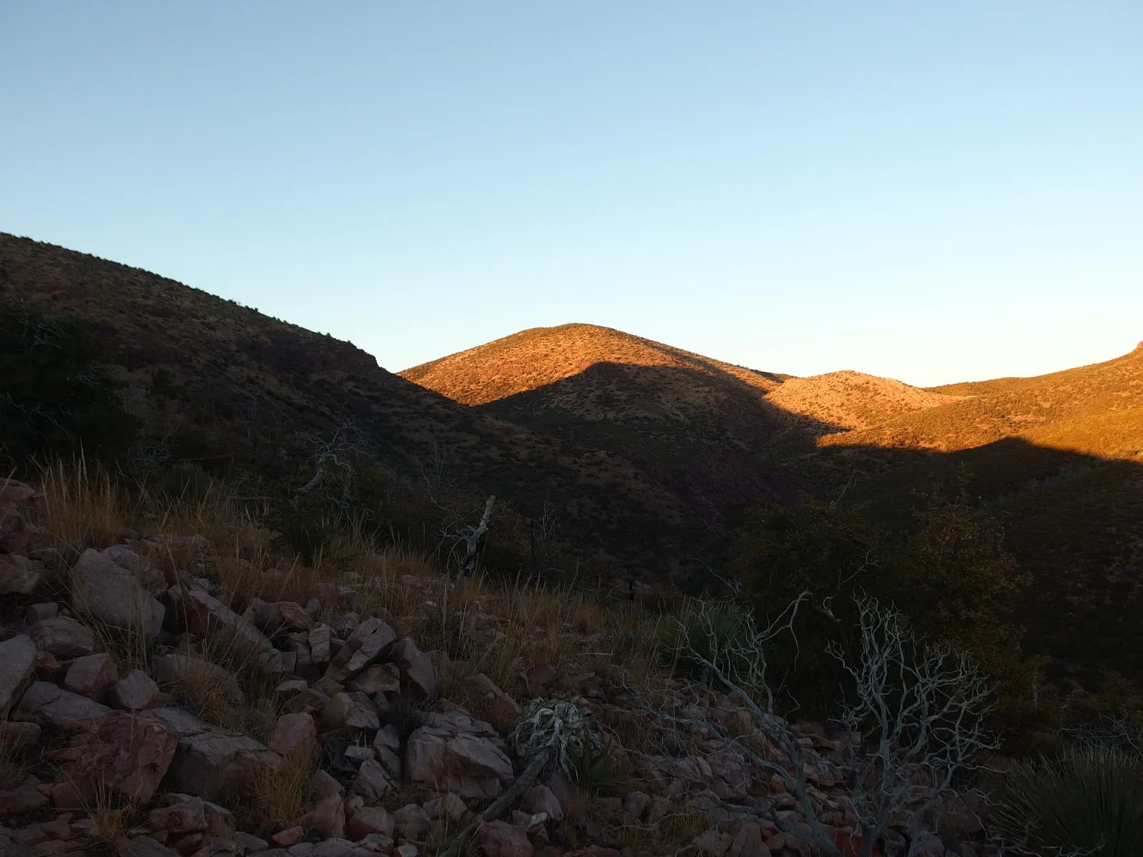
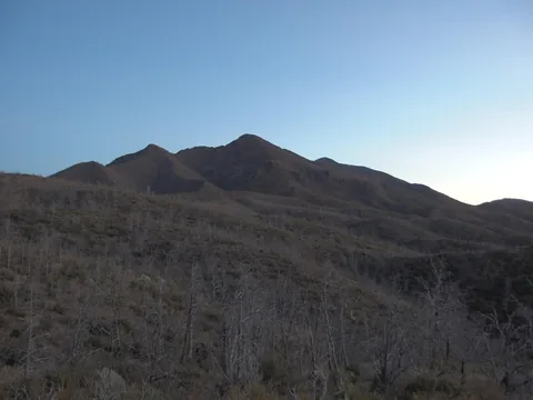 Predawn light on Sheep Mountain
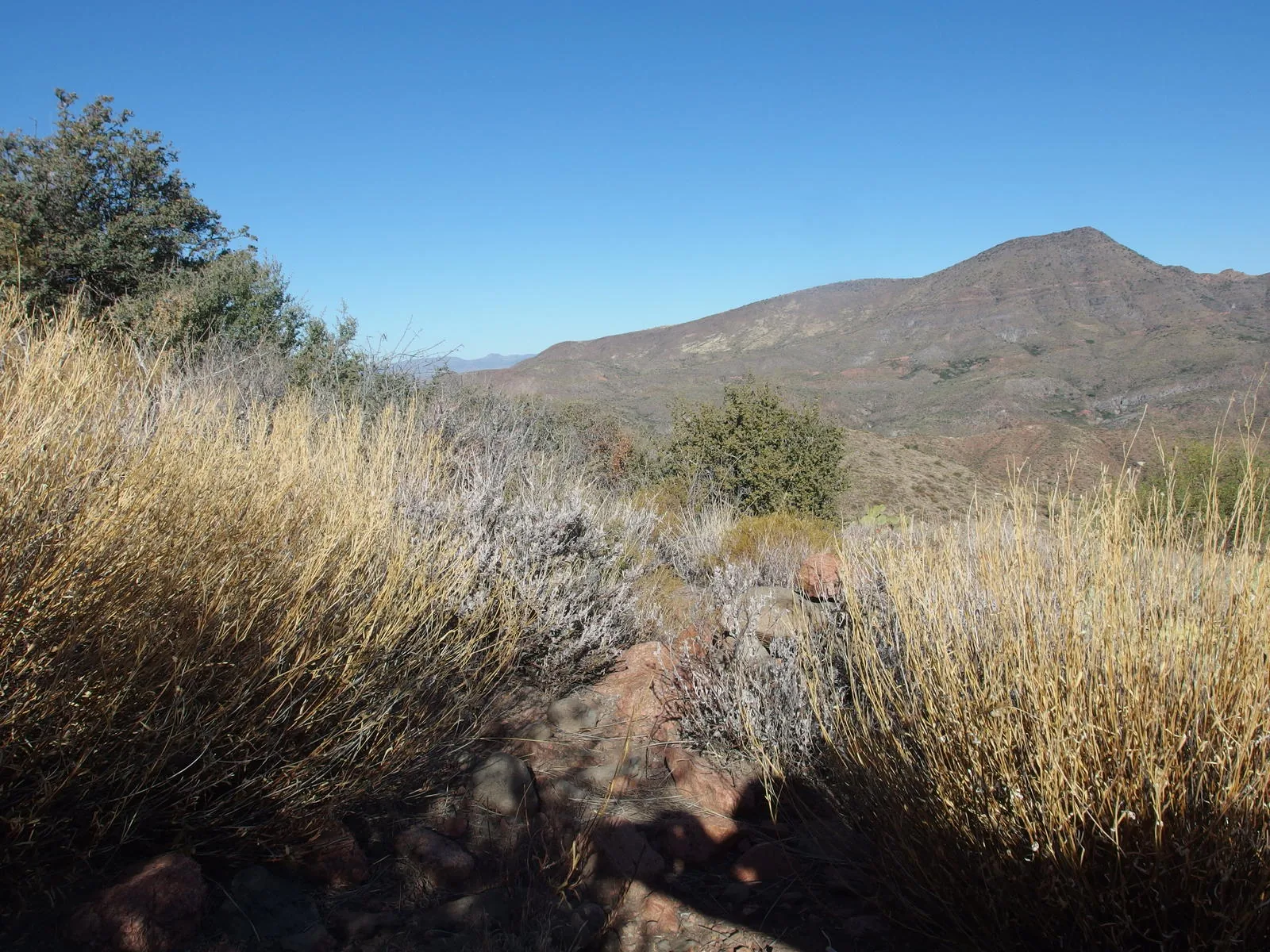
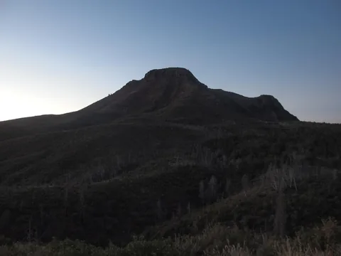 Looking south at Saddle Mountain
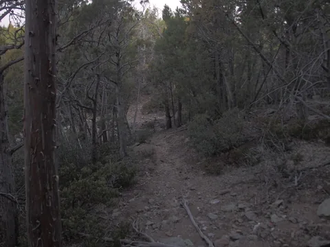 A rare section of unburnt trees on Squaw Flat
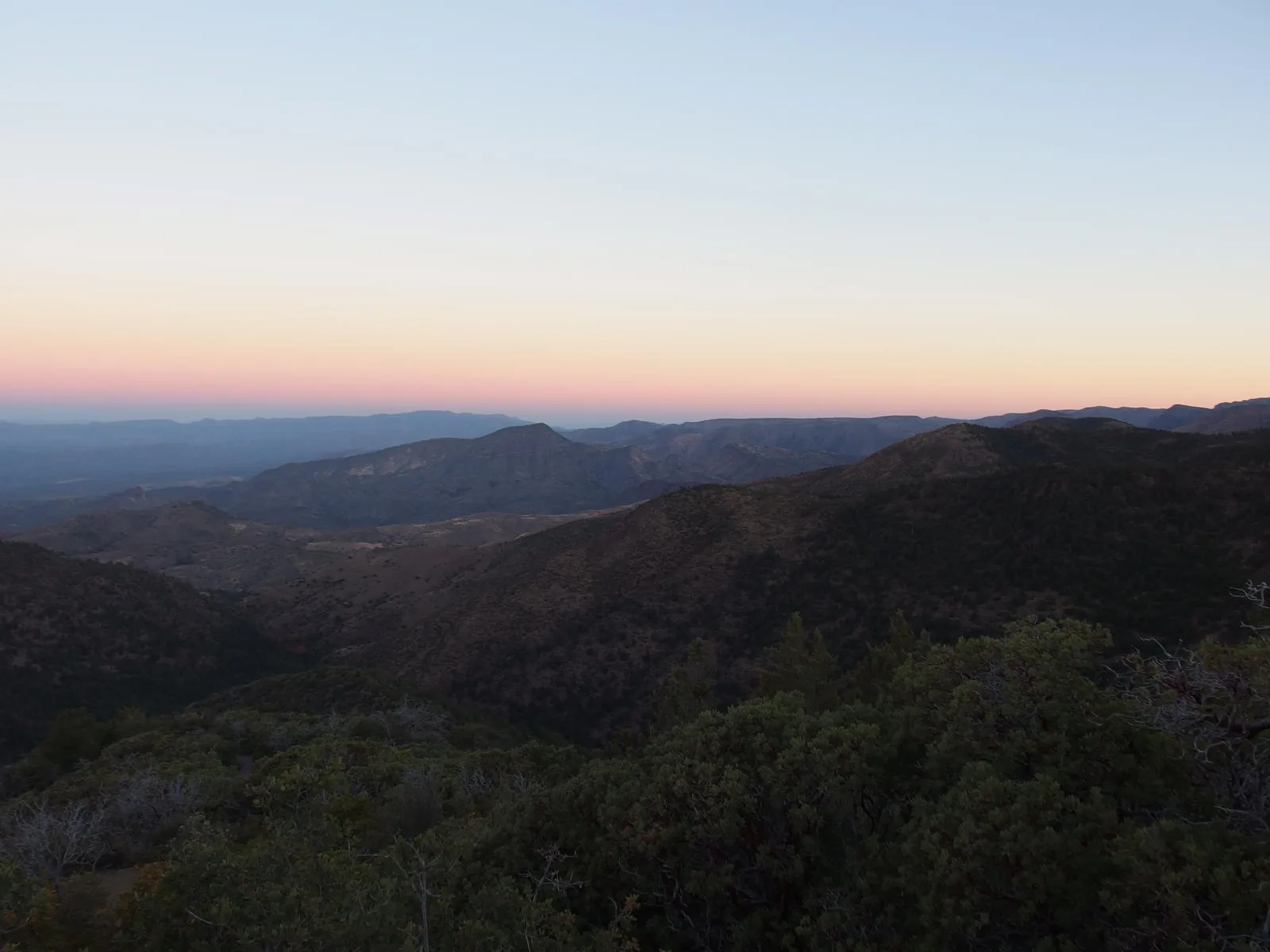
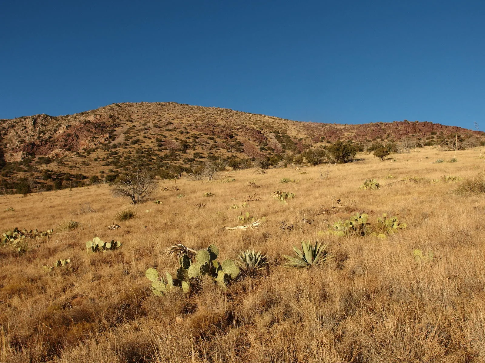
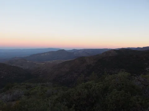 Looking down over western grasslands, from Squaw Flat
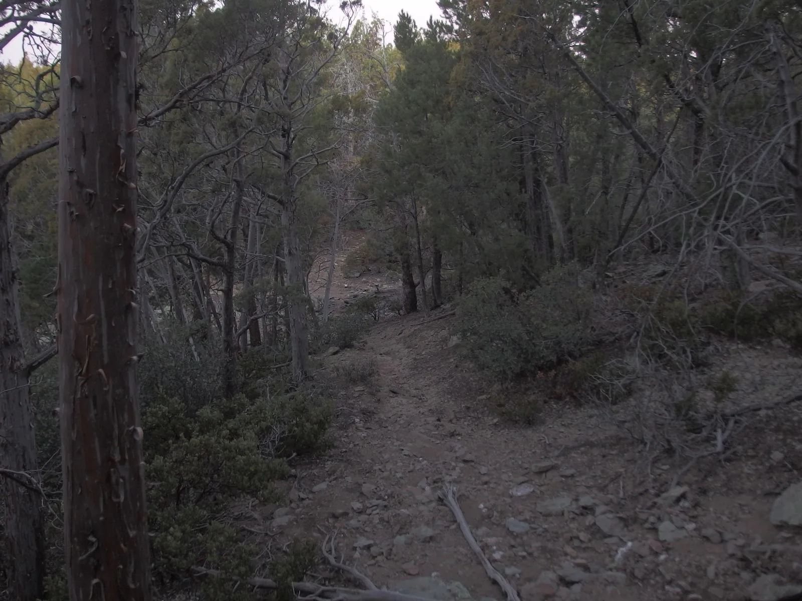
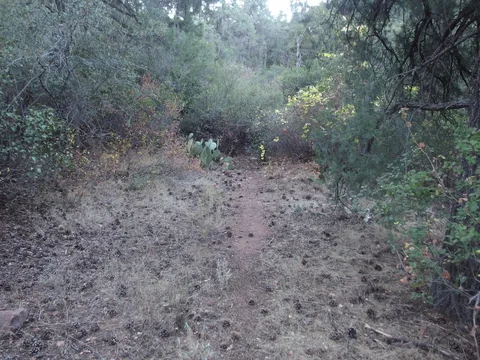 A section of lasting tread on Sheep Creek Trail
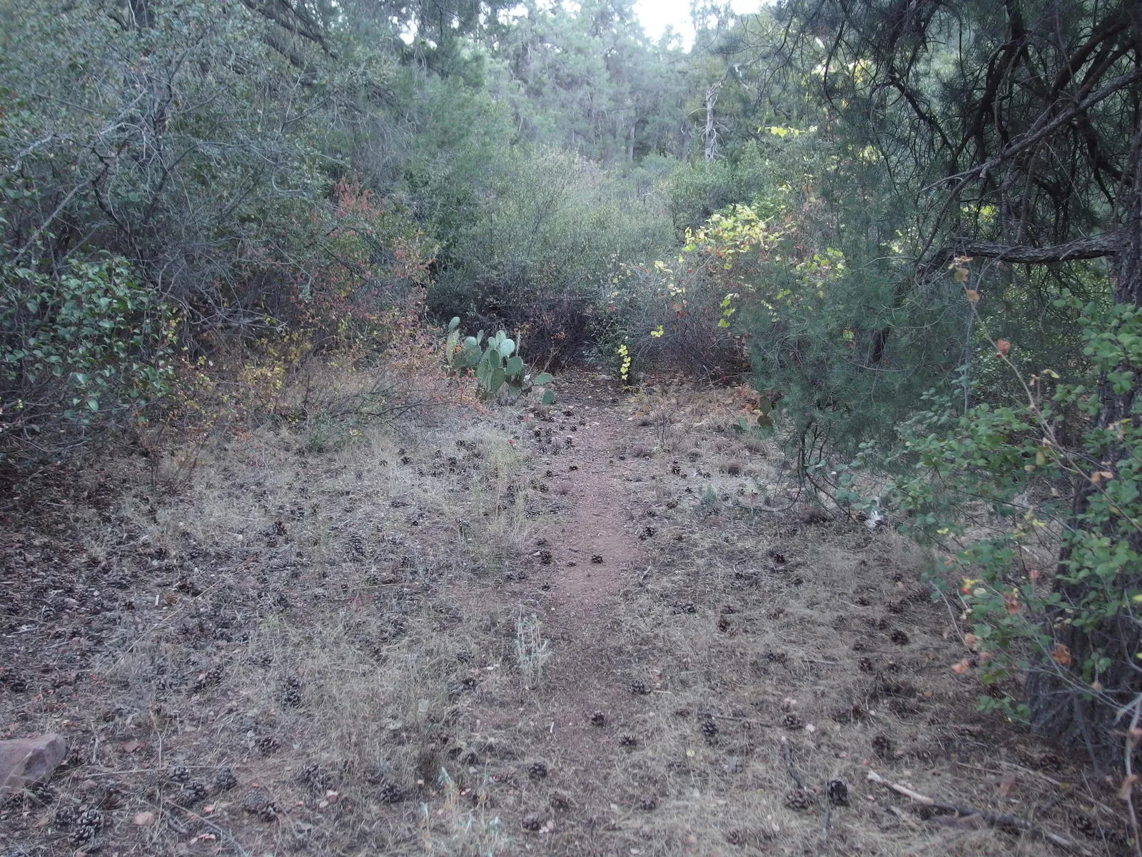
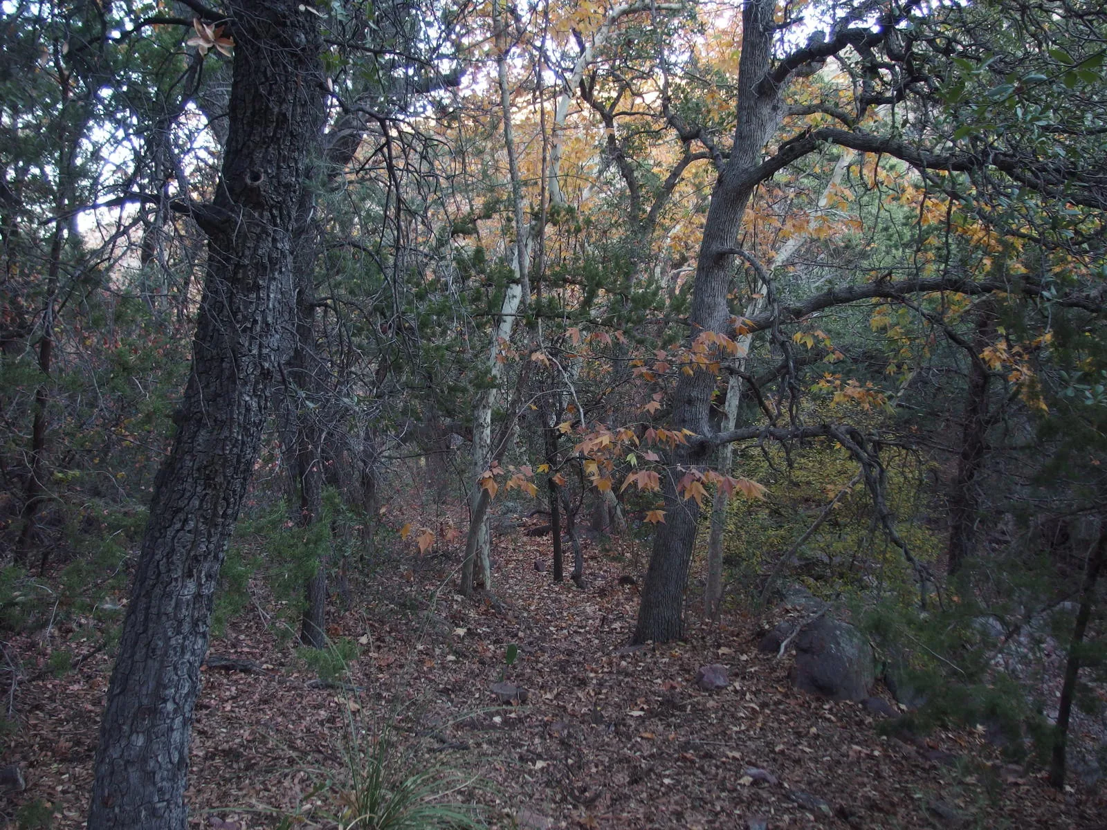
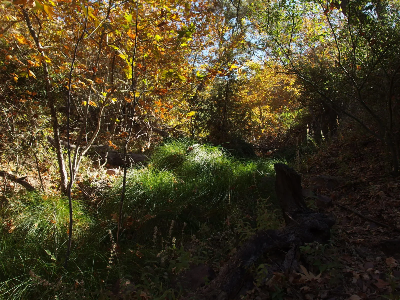
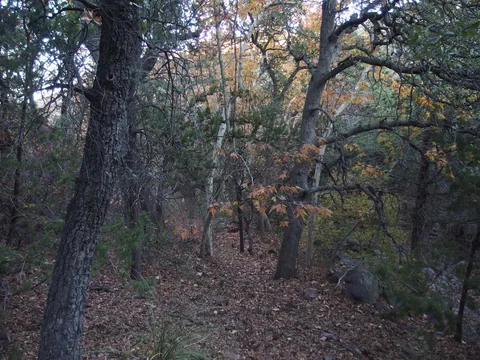 Some fall colors on the trail
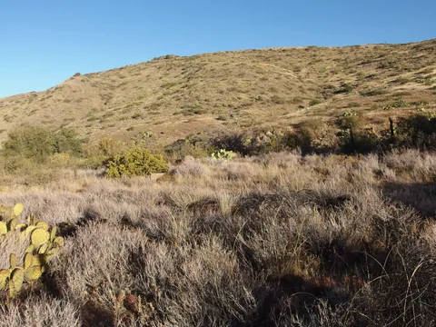 Remains of an old corral by Sheep Creek Seep
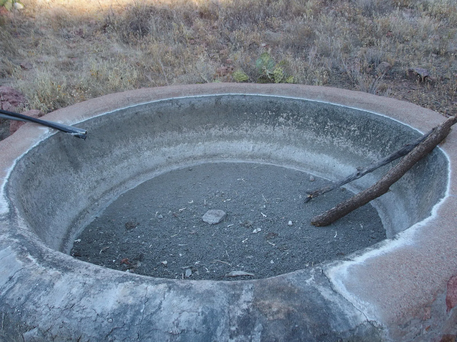
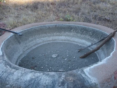 A very dry Round Spring
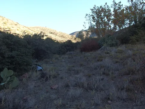 All that's left of the ranching cabin
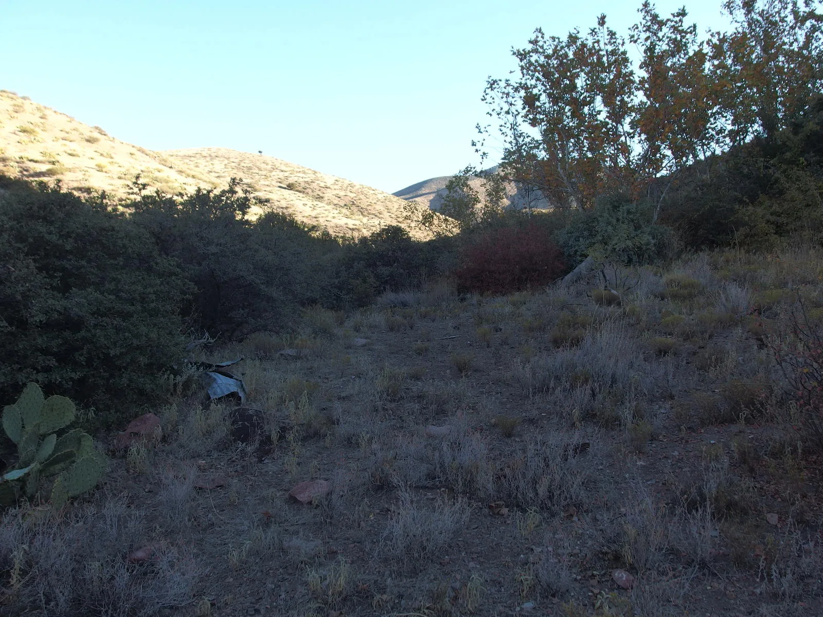
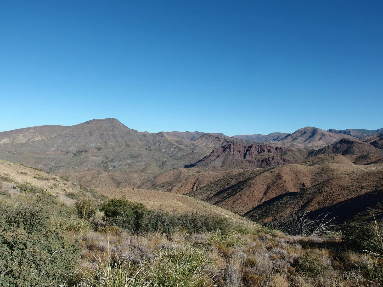
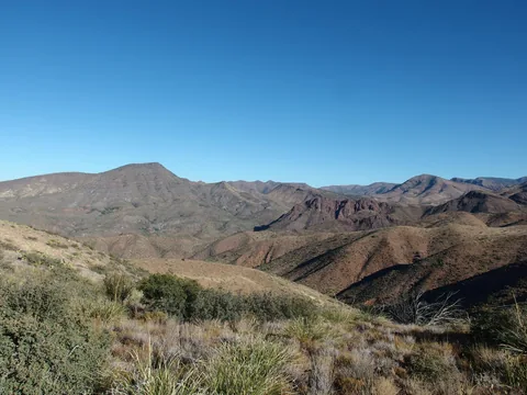 Washes and ridges on the way to Table Mountain
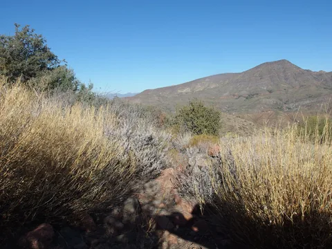 Some remnants of a trail to follow
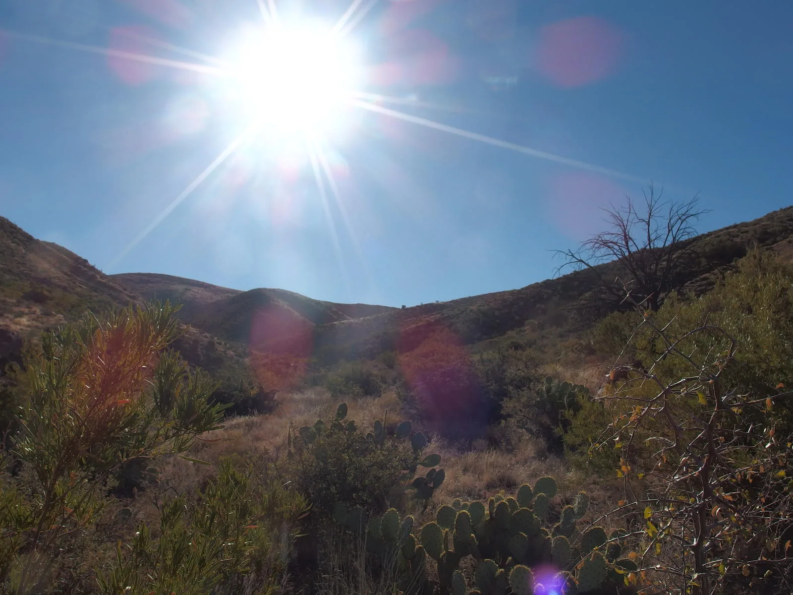
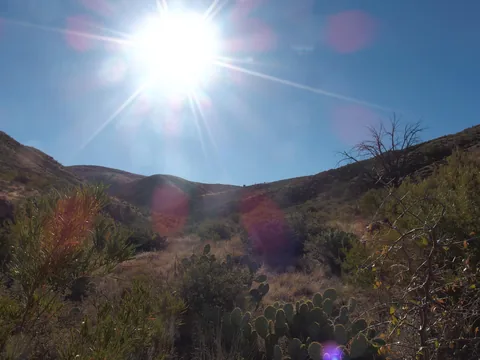 Looking back towards the saddle under a hot sun
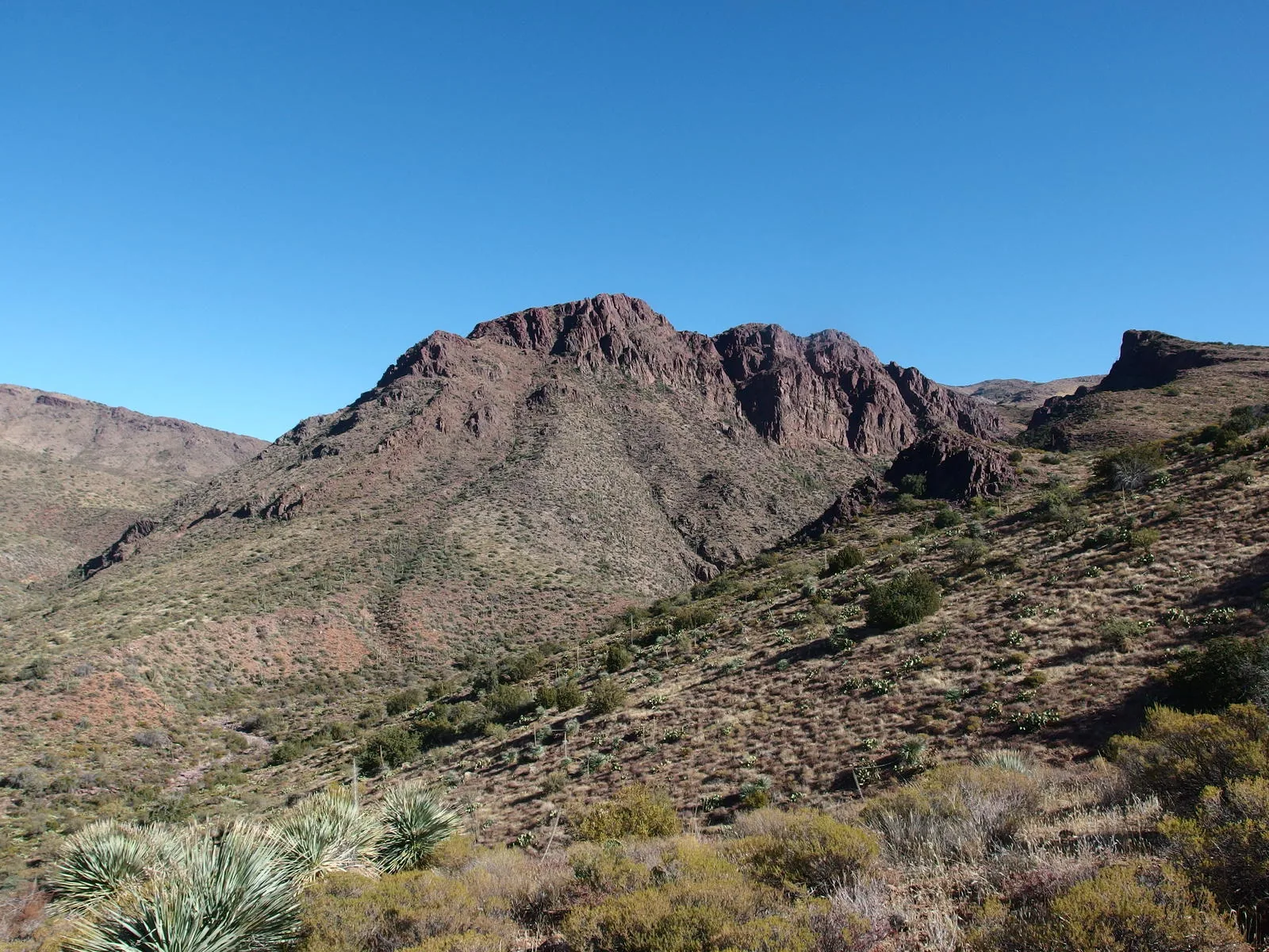
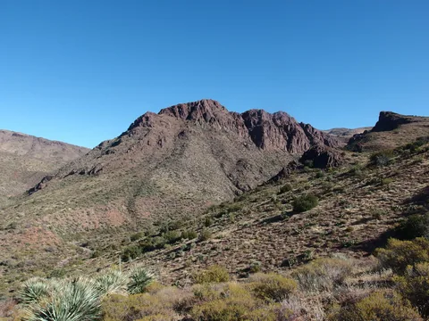 A rugged formation sitting between me and Club Cabin
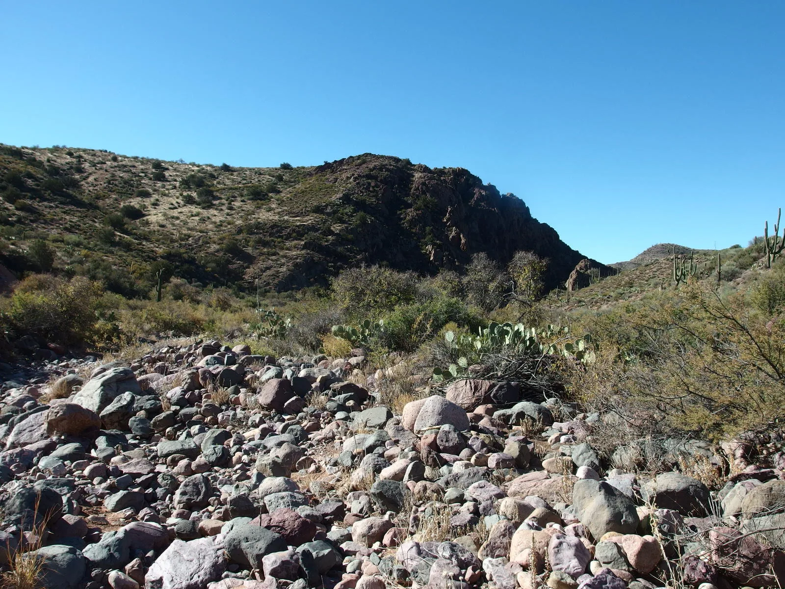
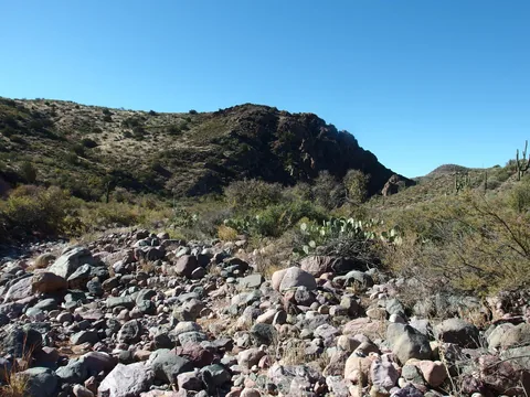 A rocky and dry Mazatzal Wash
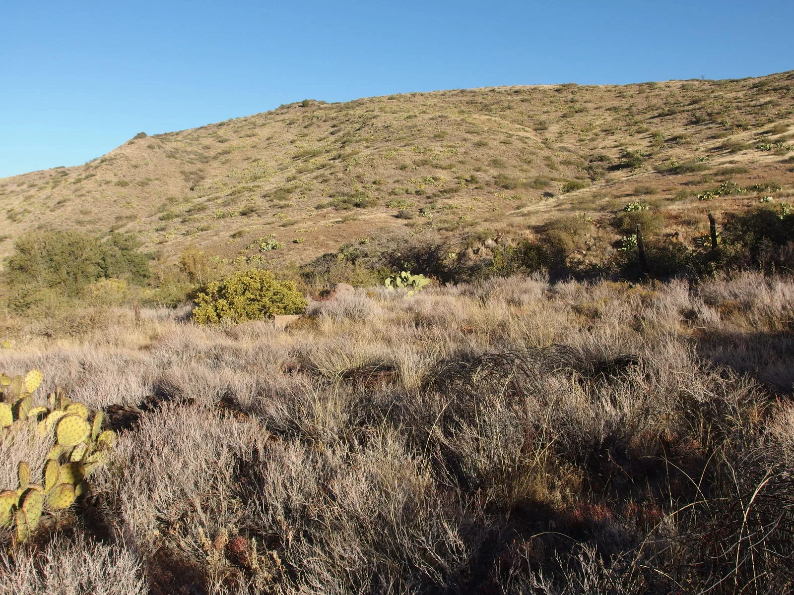
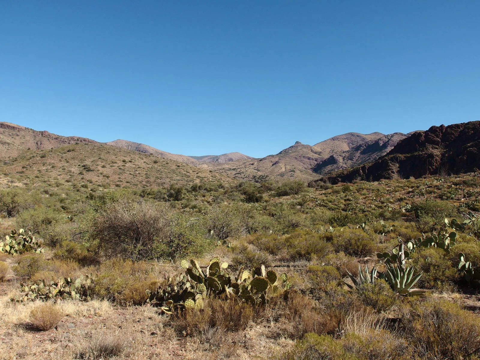
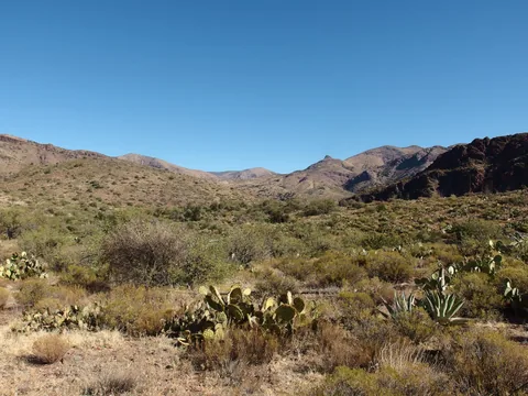 Dry and exposed scrublands
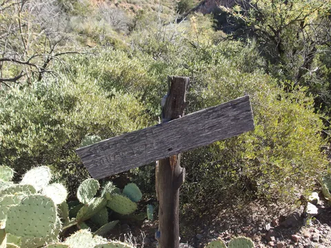 Finally, the end of Sheep Creek Trail
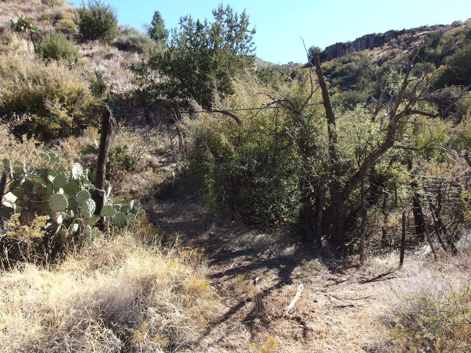
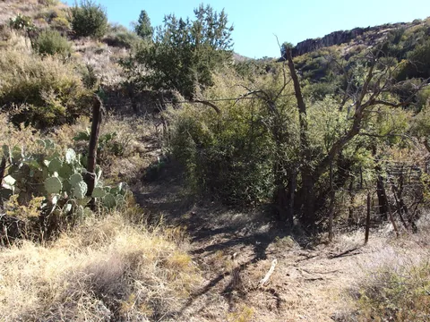 The gate to Club Cabin
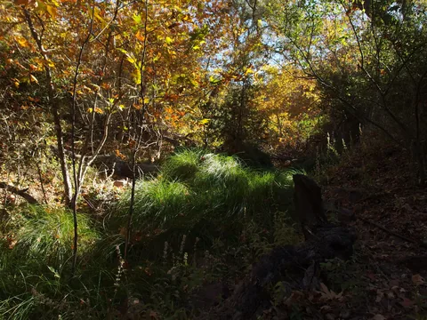 Splatter of fall colors at Club Spring
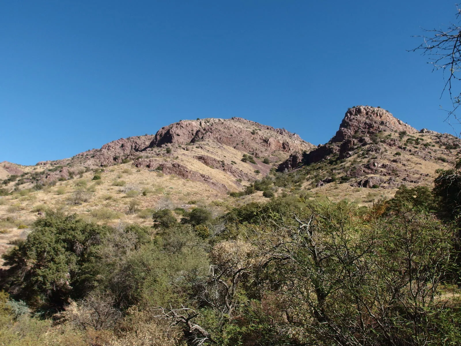
 Red rock formations about Red Rock Spring
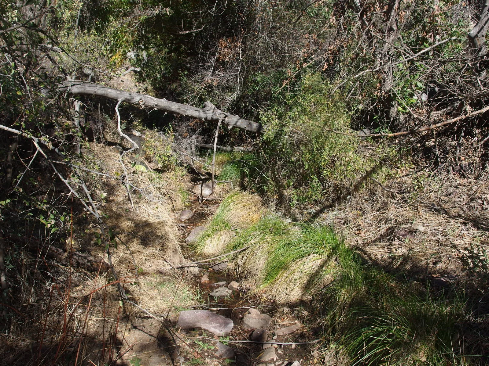
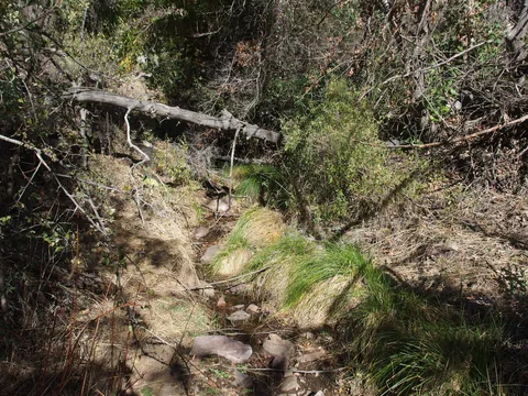 Trickling overflow of Red Rock Spring
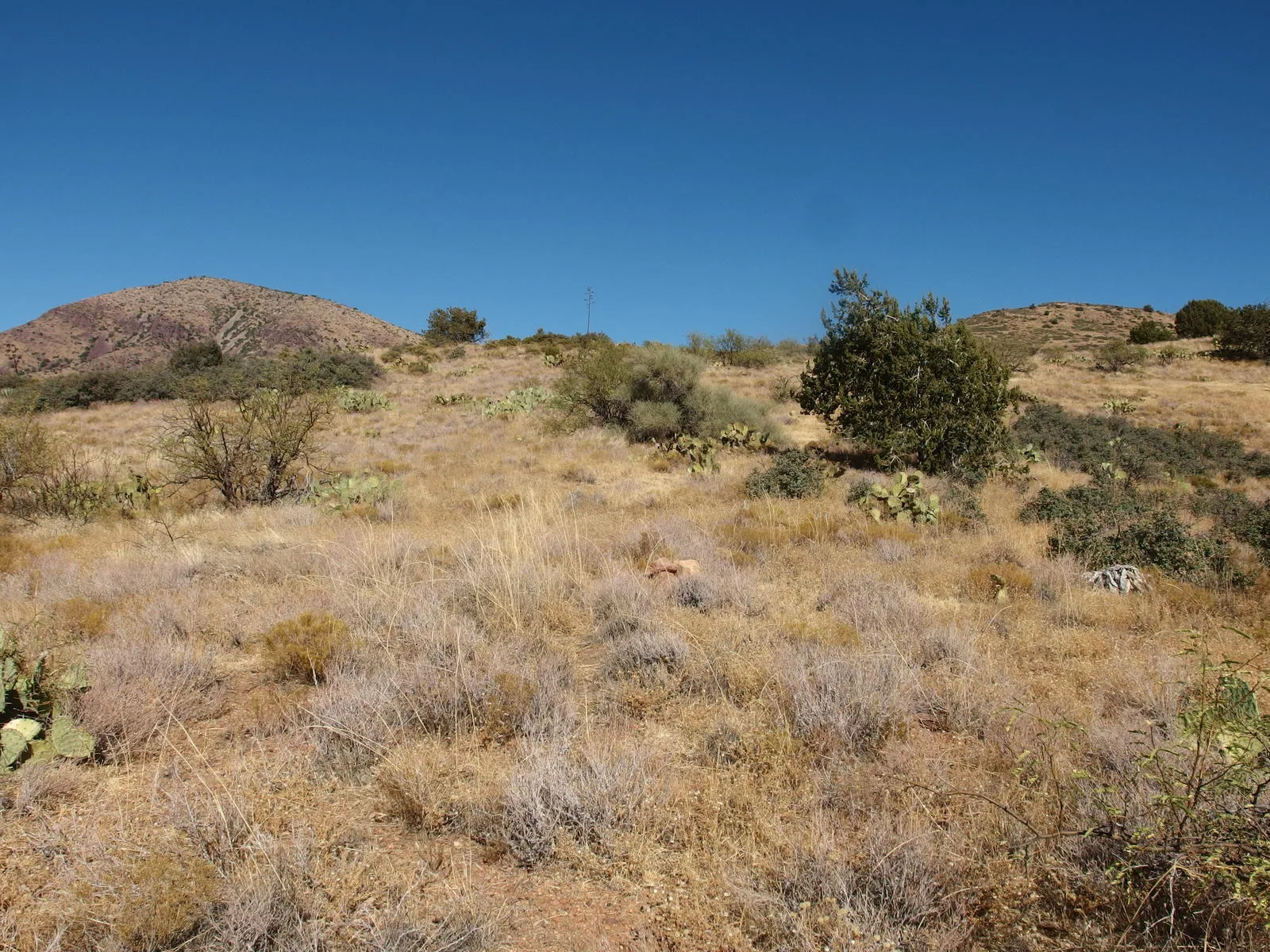
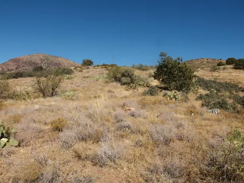 Climbing up a hot, exposed hillside
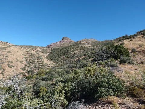 Some thick brush ahead
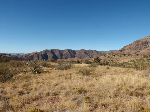 Looking north towards Deadman Creek and Mountain Spring
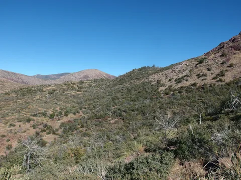 Into the thick and nasty stuff
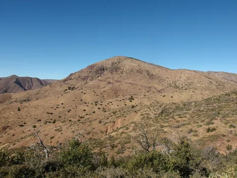 5932', the hill that marks a major Deadman confluence
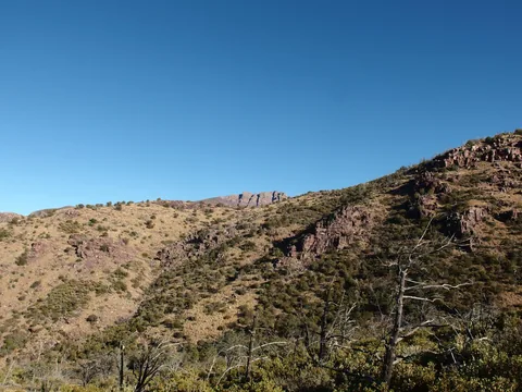 First glimpse of Mazatzal Peak
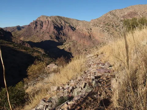 Descent into South Fork Deadman Creek
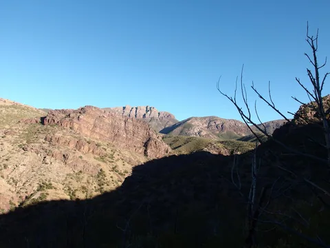 Lots of cliff faces to the east
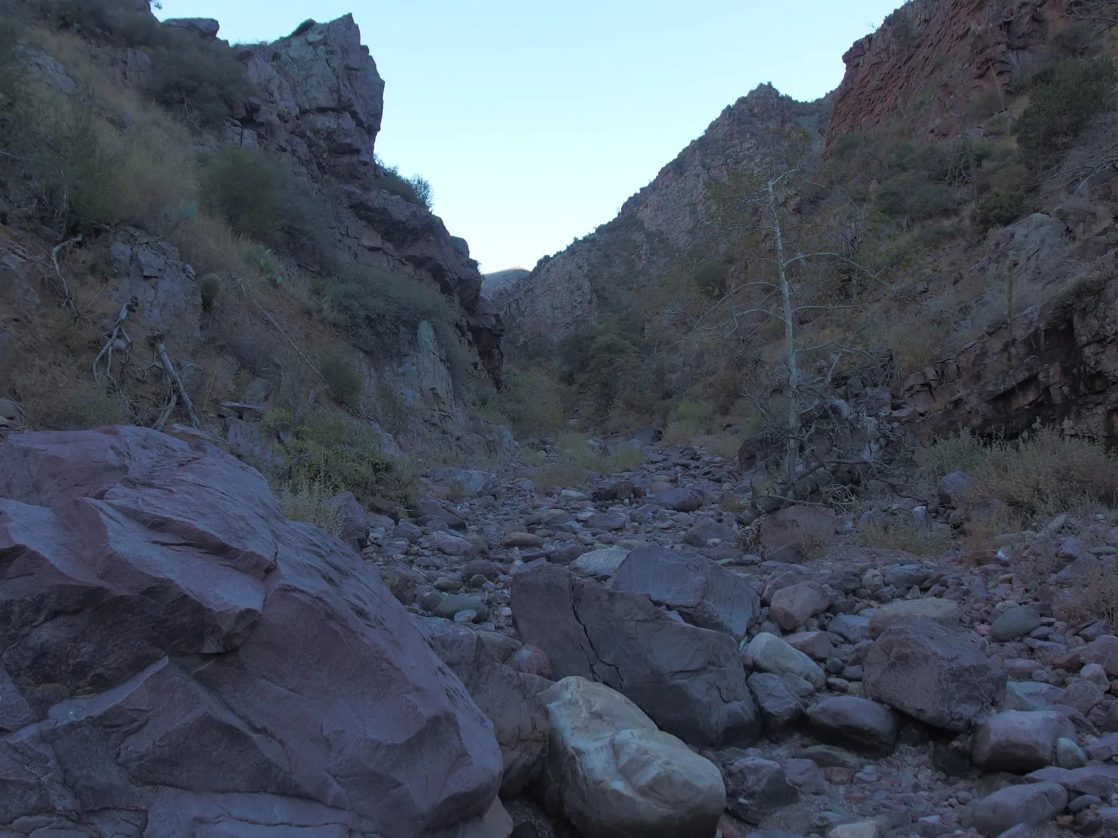
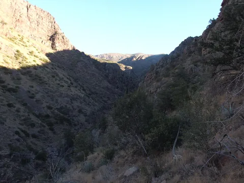 A deep gorge surrounding the creek
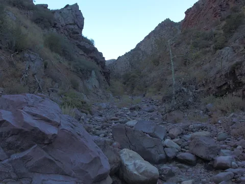 A very dry bottom of South Fork Deadman Creek
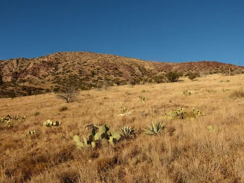 About as flat as this trail gets
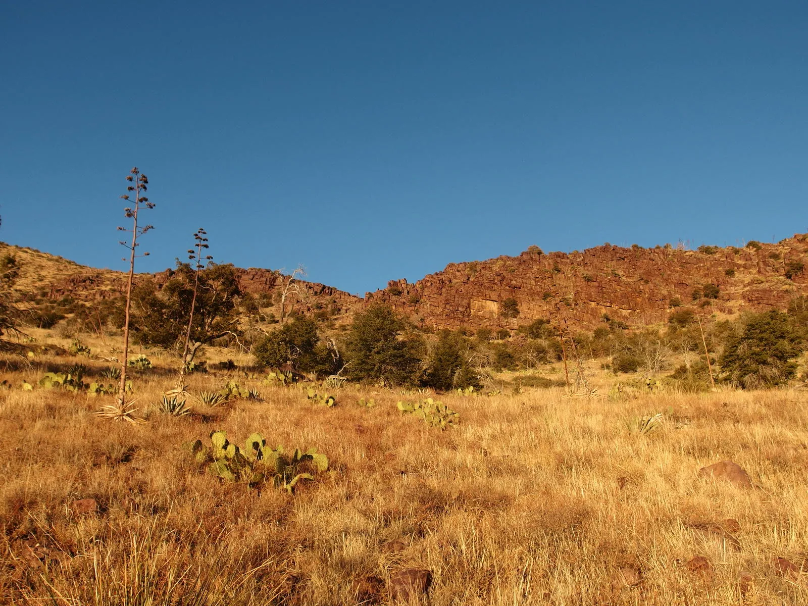
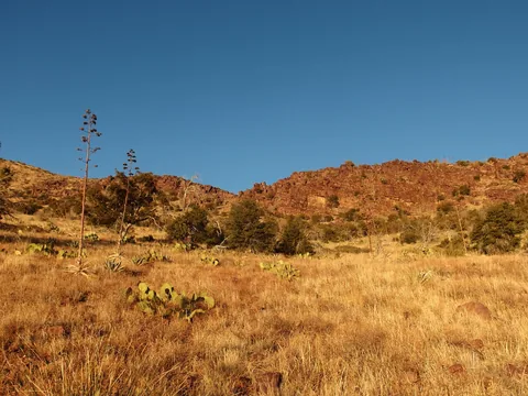 Golden colors on the red cliff band
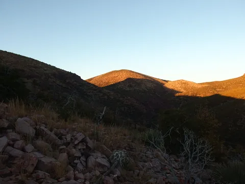 Long shadows on Chilson Camp
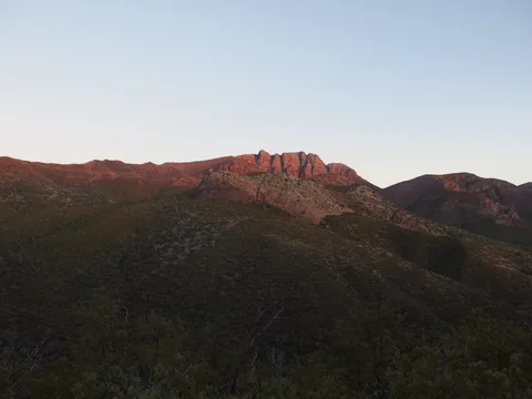 Sunset on Mazatzal Peak
 Last light on trail
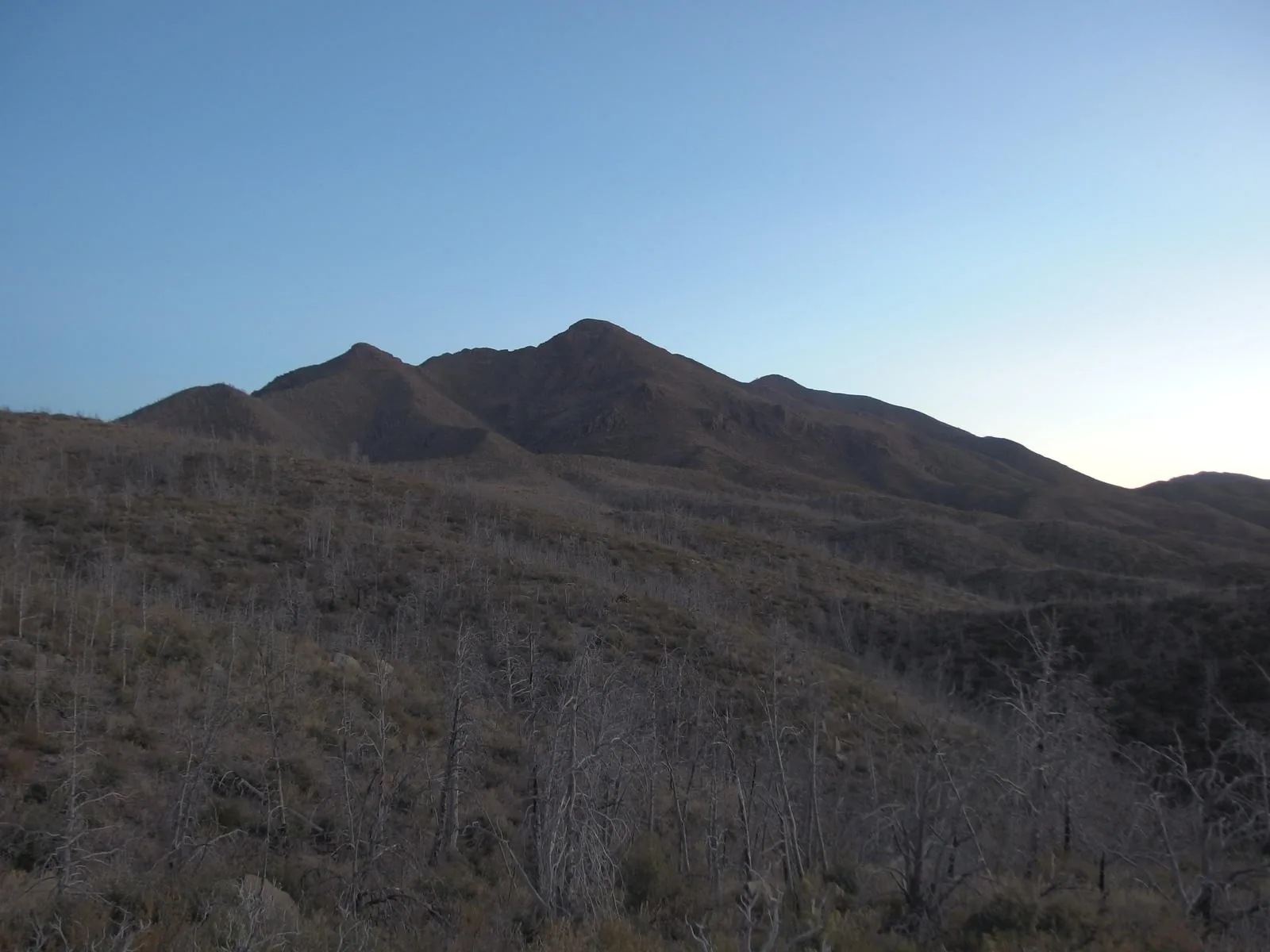
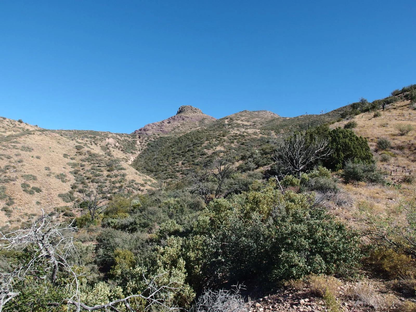
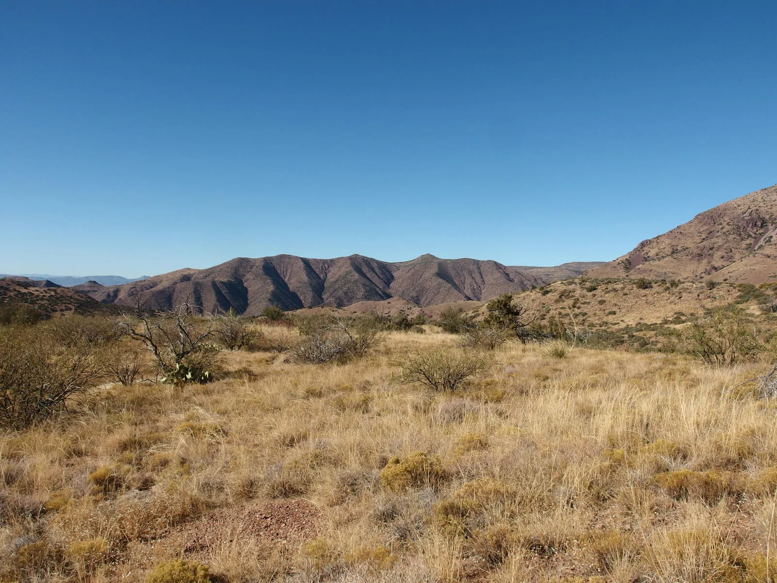
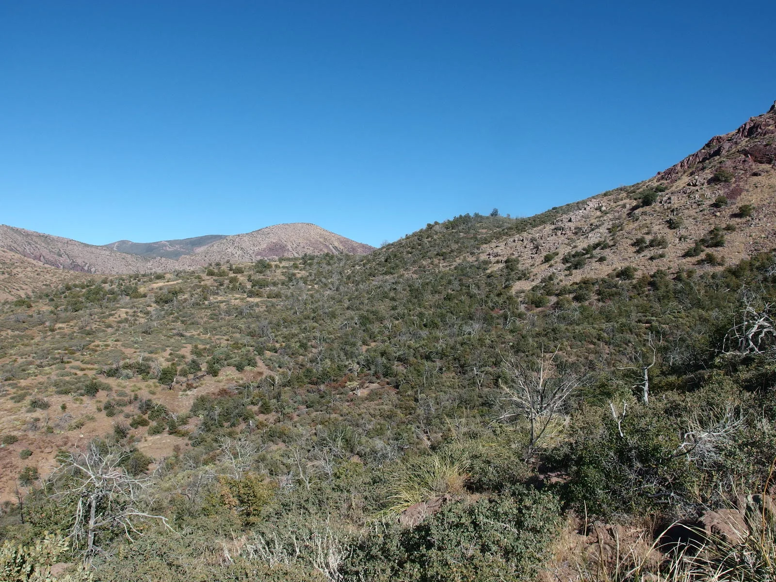
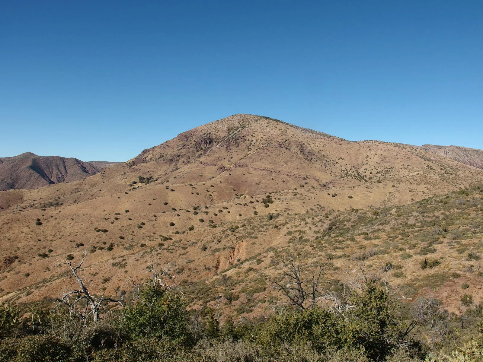
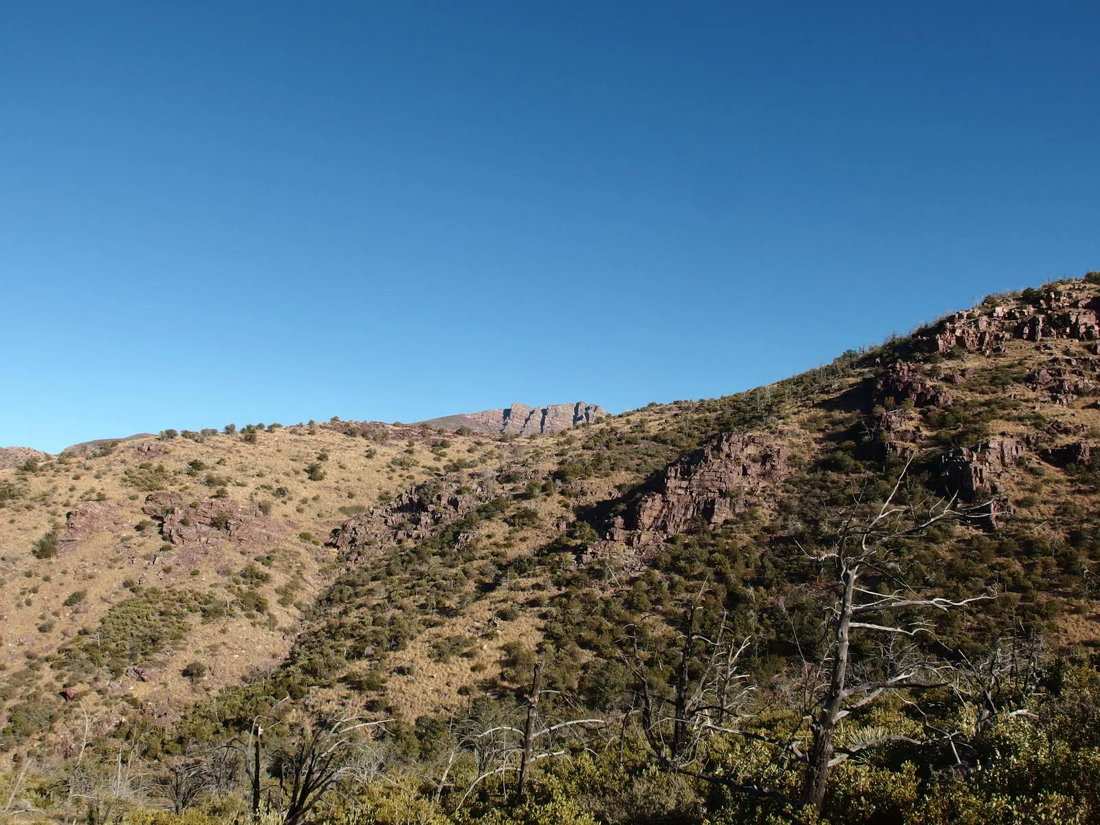
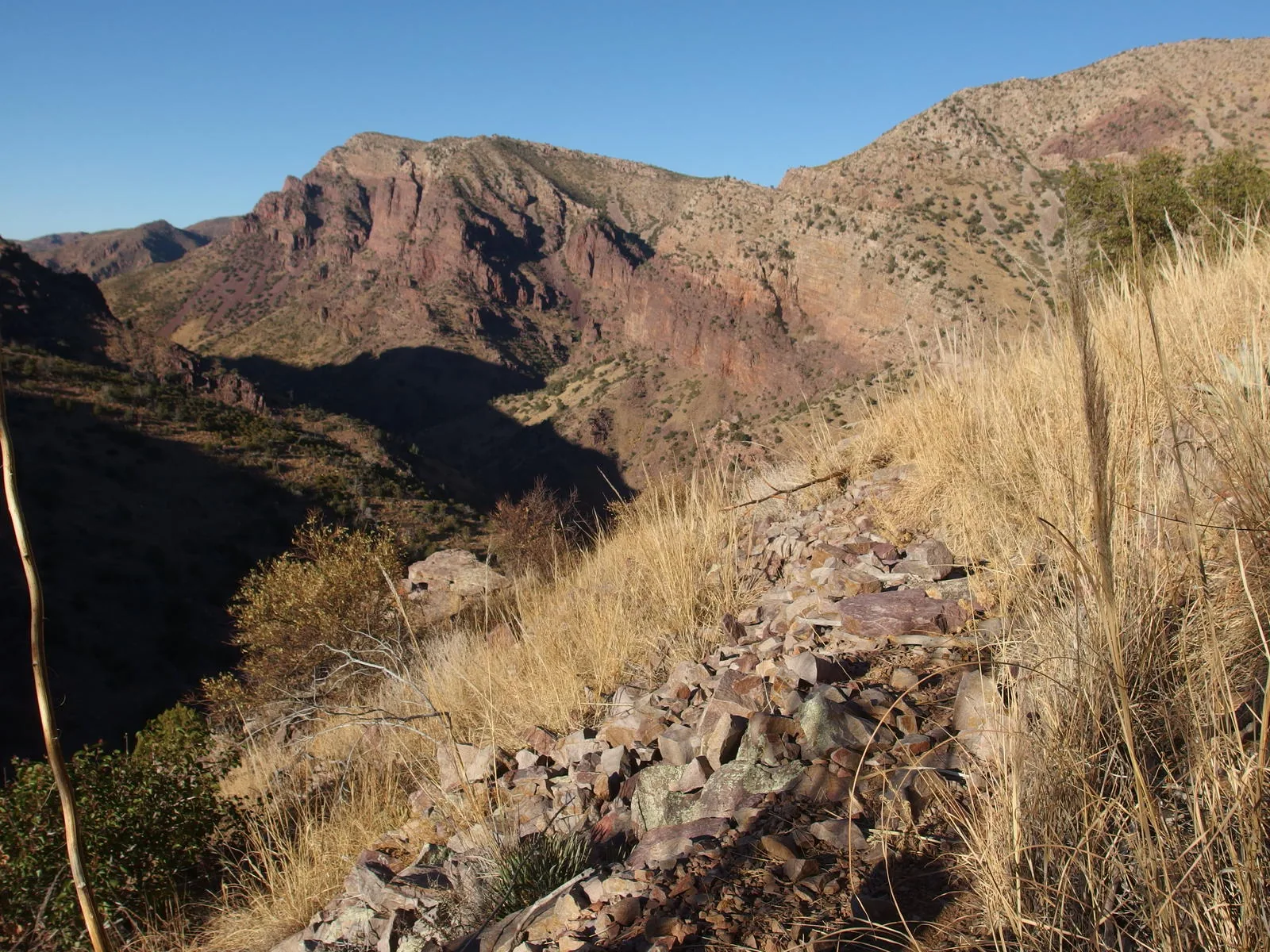
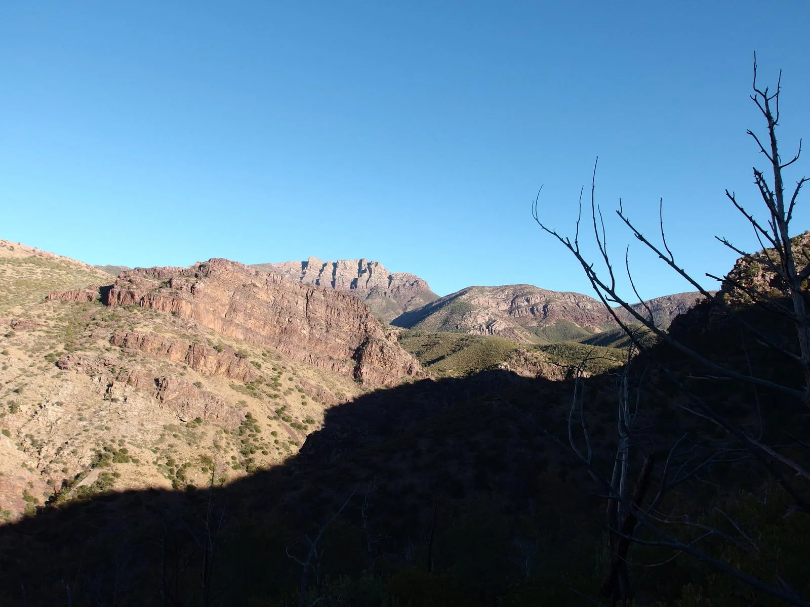
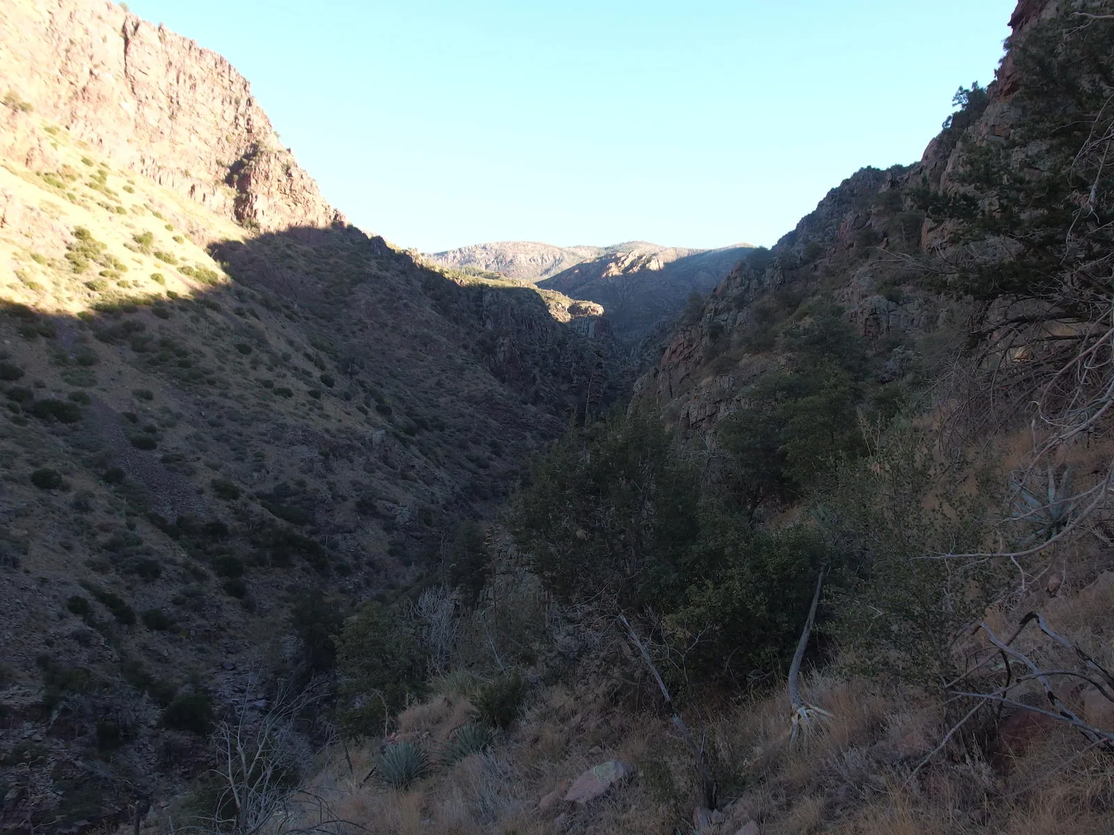
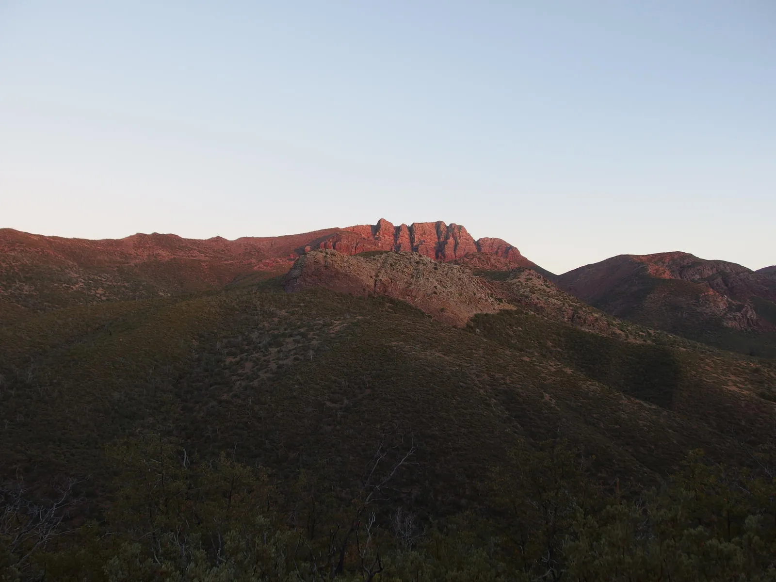
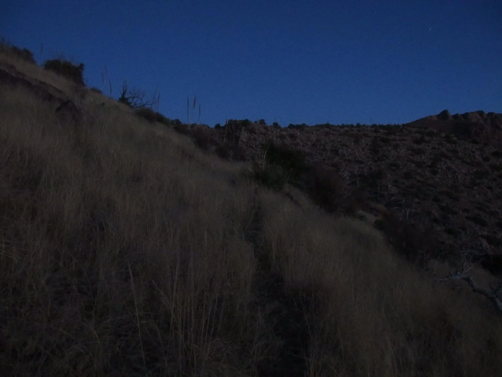
Along the way
Spring 8
- Davenport Tributary
- Chilson
- Chilson Tanks
- Squaw Flat Spring
- Round Spring
- Sheep Creek Seep
- Club Spring
- Red Rock Spring
Creek 4
- Barnhardt Tributary 2
- Barnhardt Tributary 3
- McFarland Canyon at Sheep Creek Trail
- South Fork Deadman Creek
Ruin 1
- Club Cabin
Camping 1
- Chilson Camp
Trailhead 2
- Mormon Grove Trailhead
- Barnhardt Trailhead
Junction 7
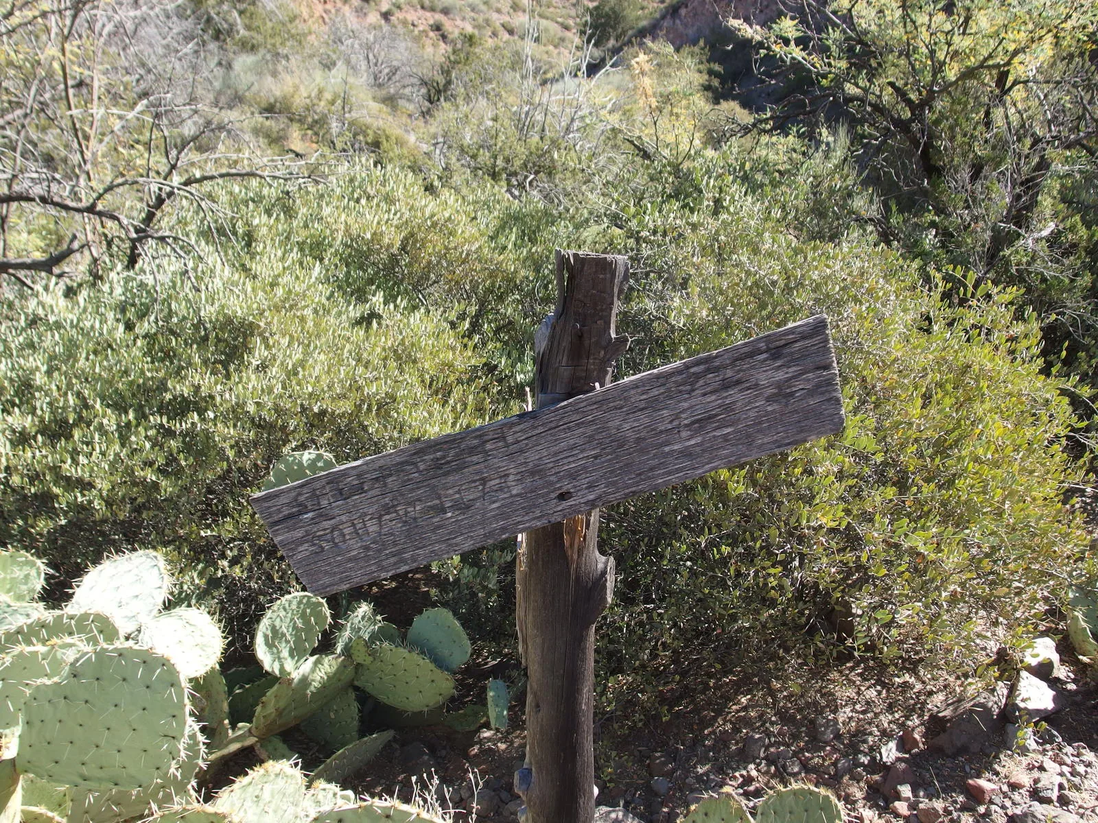
- Sheep Creek / Saddle Mountain Trail Junction
- Copper Camp / Sheep Creek Trail Junction
- Sears / Sheep Creek Trail Junction
- Barnhardt / Mazatzal Divide Trail Junction
- Y Bar / Barnhardt Trail Junction
- Barnhardt / Sandy Saddle Trail Junction
- Sheep Creek Trail east end
Gate 1
- Club Cabin gate