North Peak Loop
18.3 mi3,940 ft
6,286 ft
3,458 ft
Creative loop that includes walking along a creek, hauling up the steep North Peak Trail, and then descending down on Mazatzal Divide Trail.
Photos
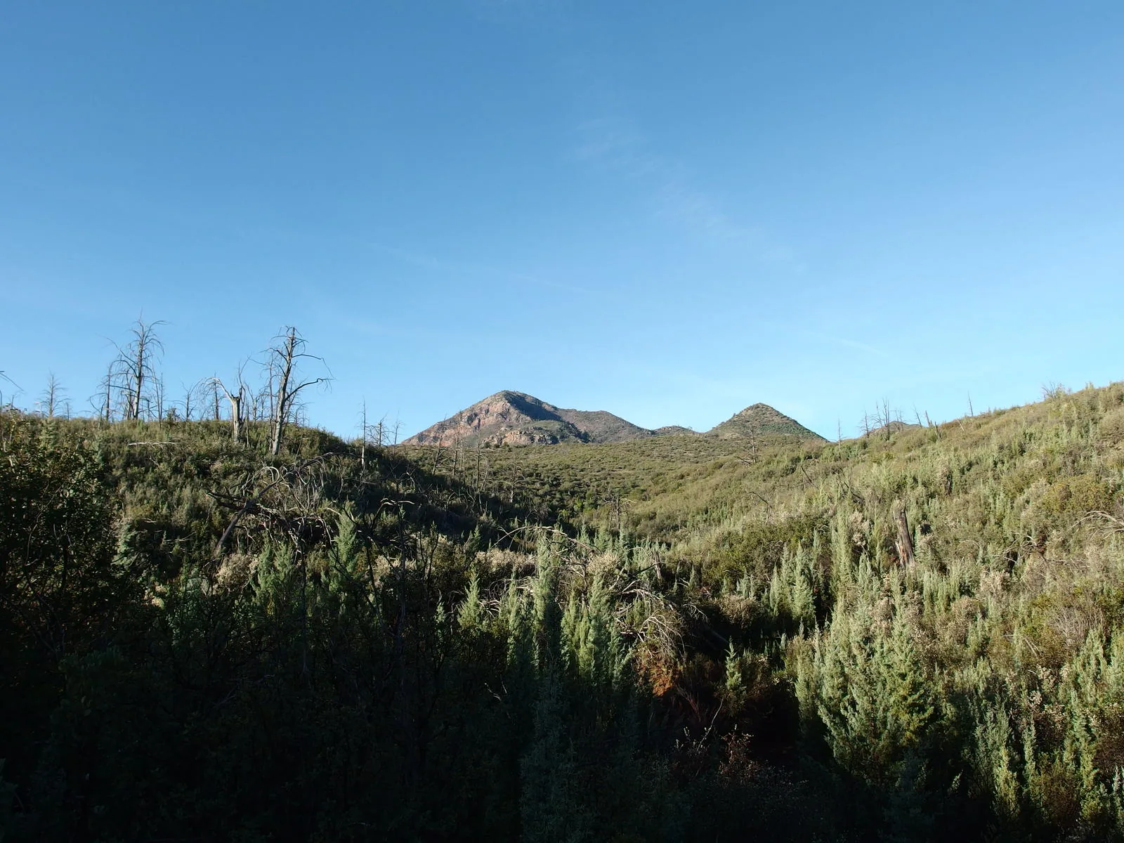
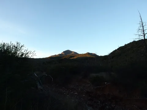 Early morning light on North Peak
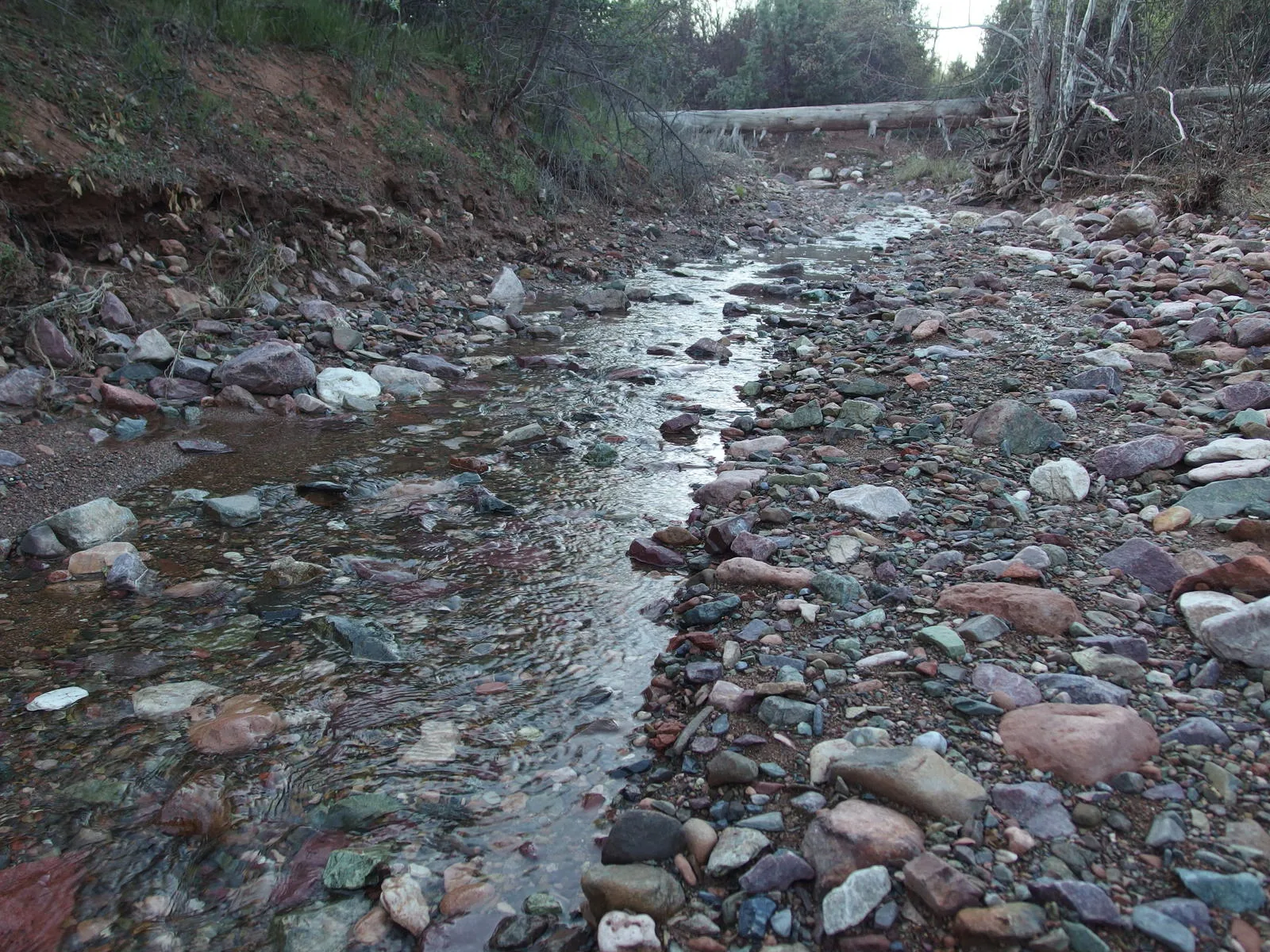
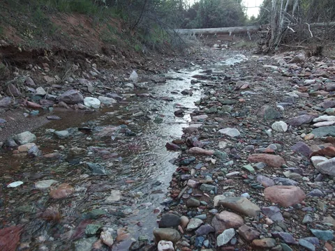 Water flowing down Pole Hollow Canyon
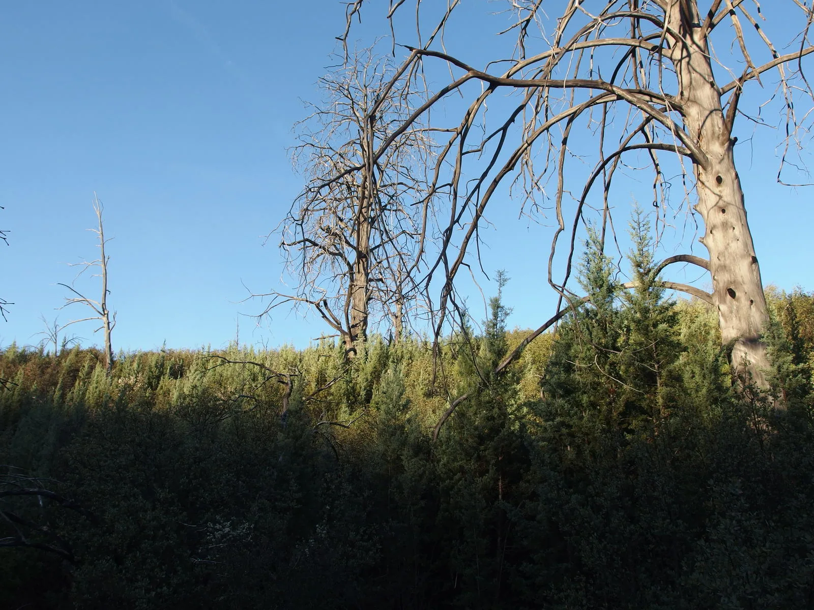
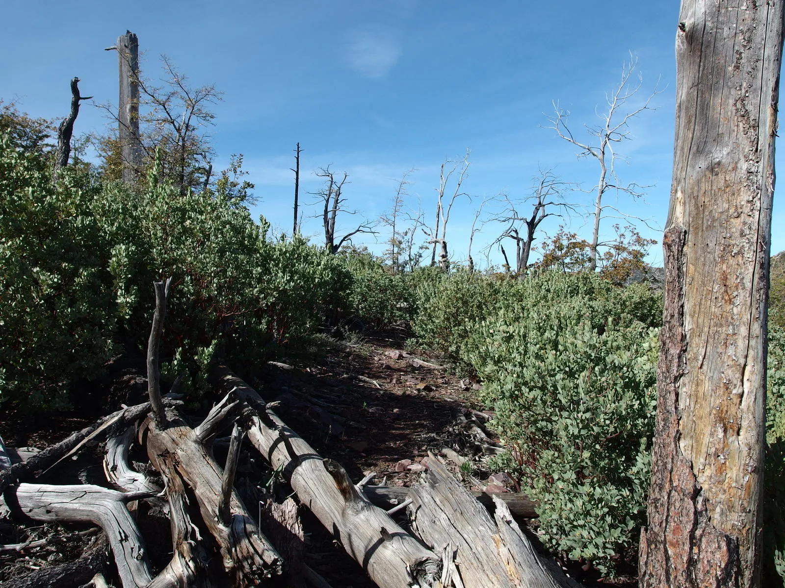
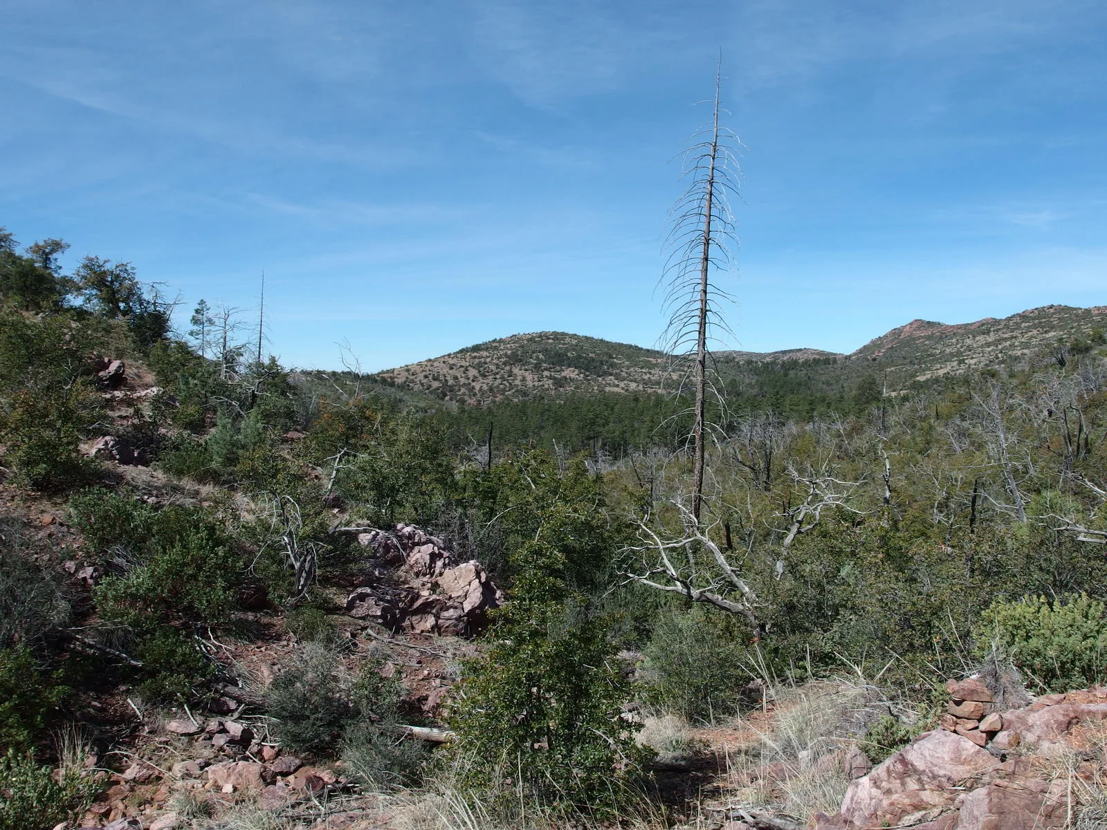
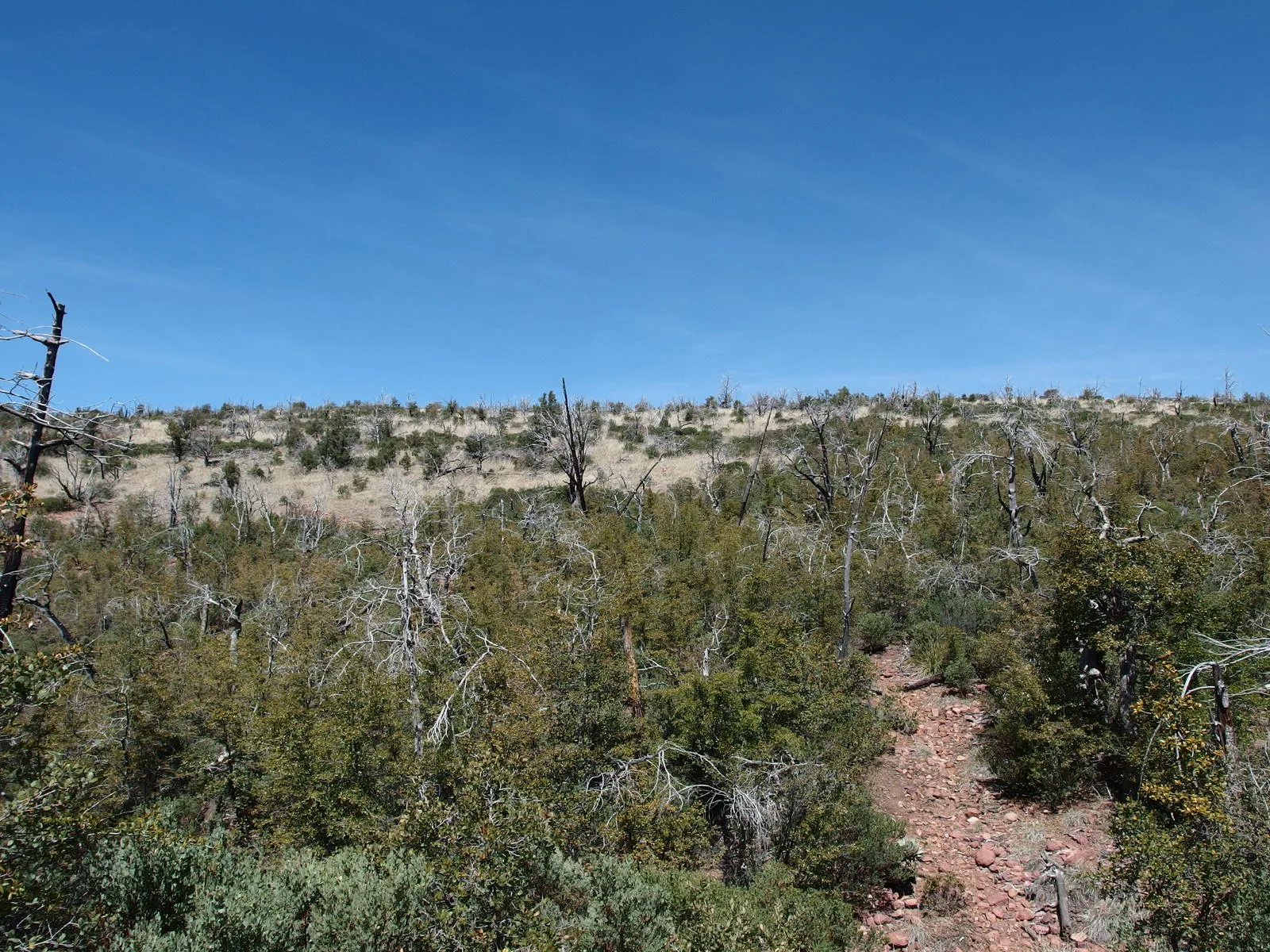
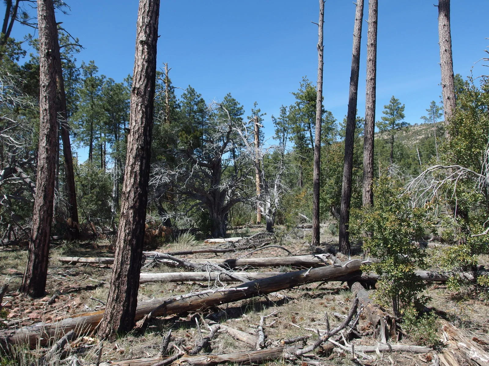
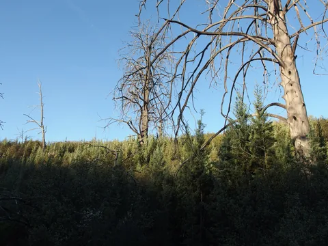 A mix of dead trees and recovering forest
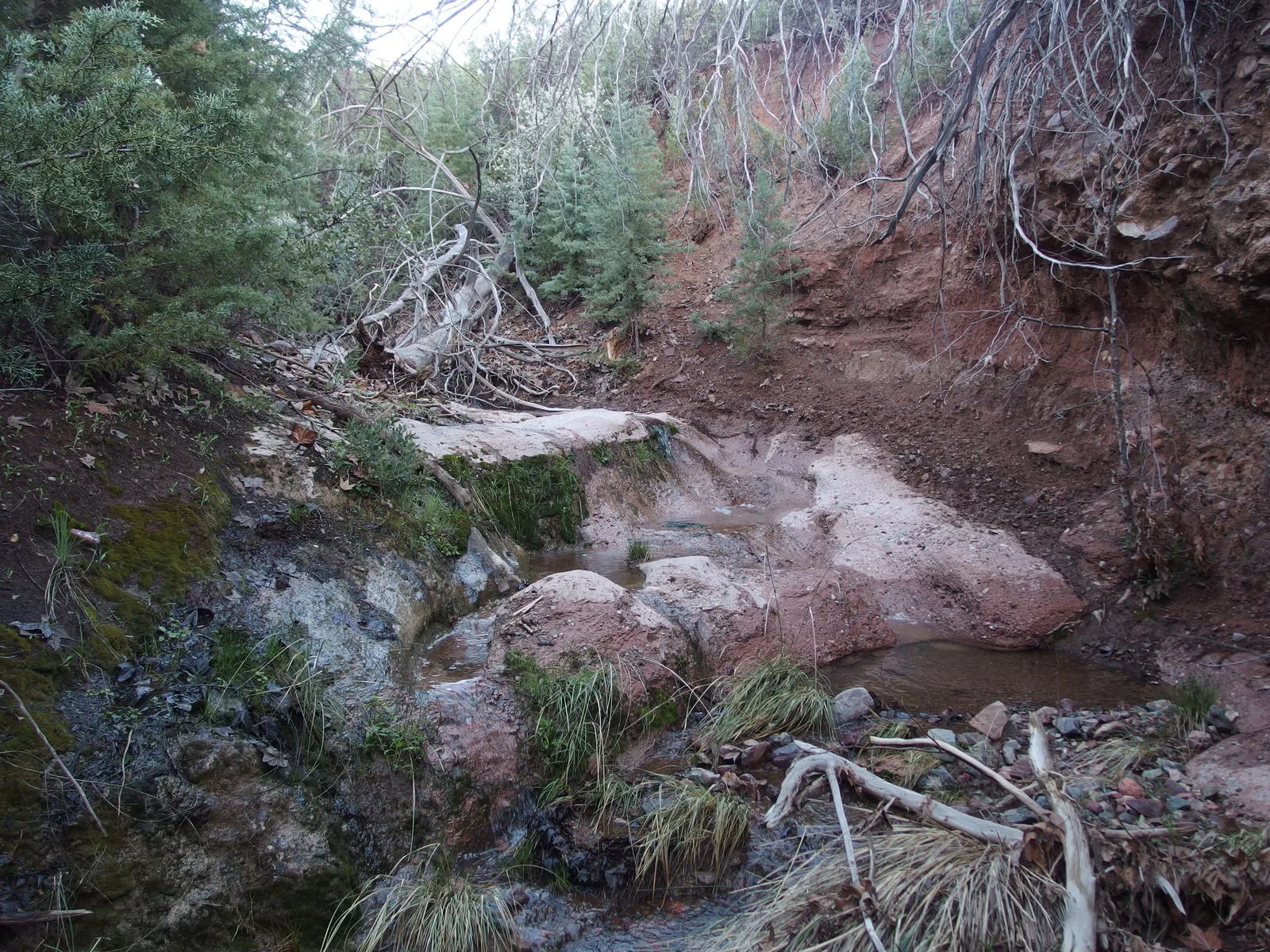
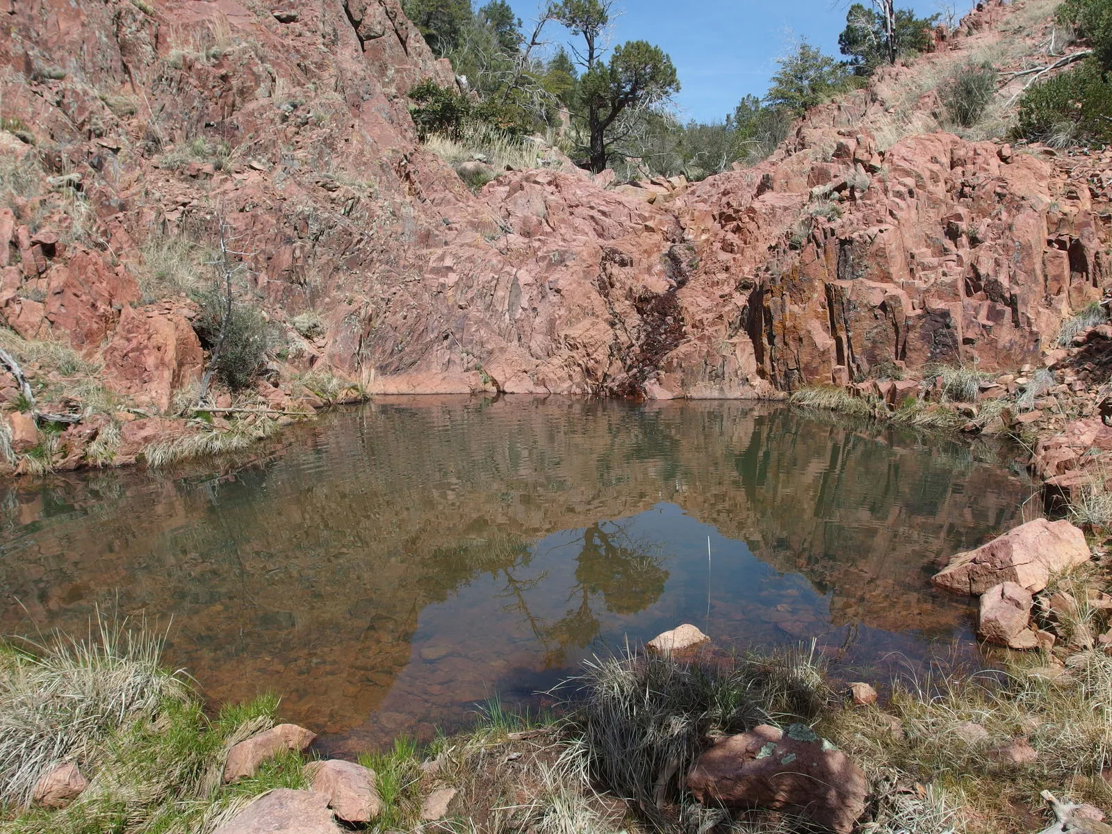
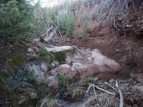 Rock tanks at Pole Hollow Spring
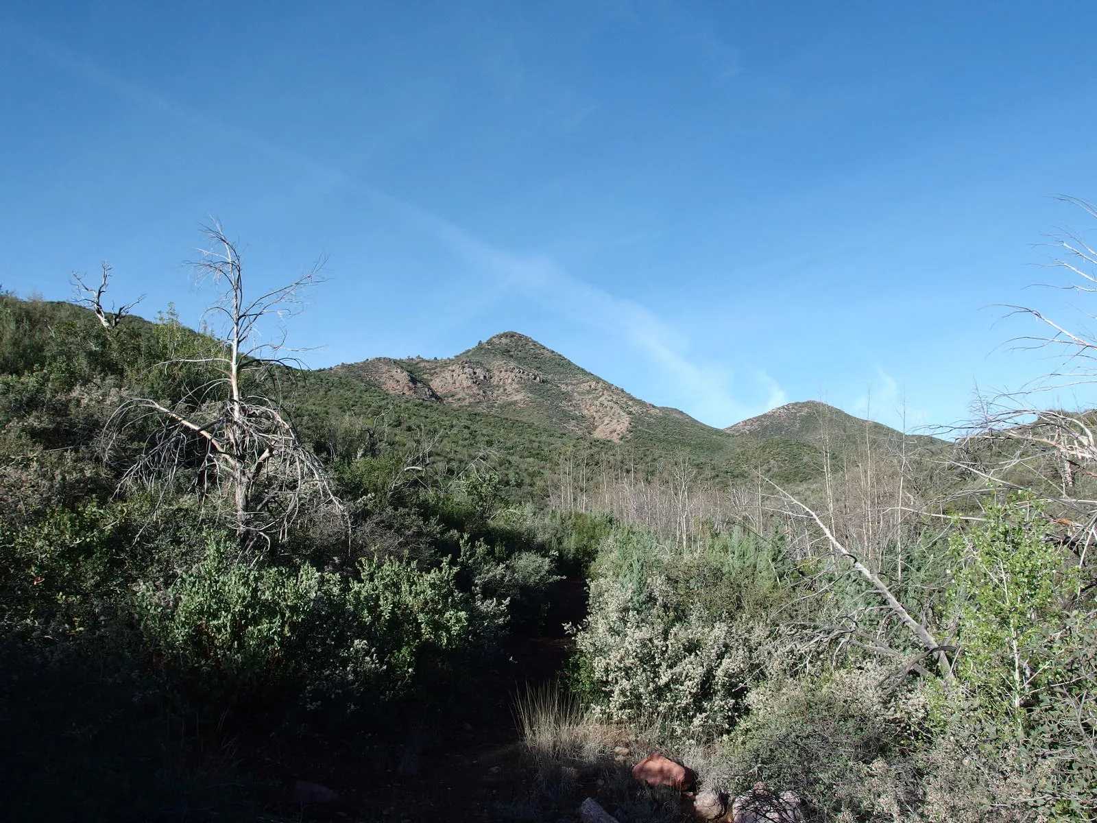
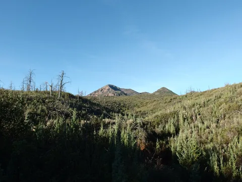 Slowly getting close to North Peak
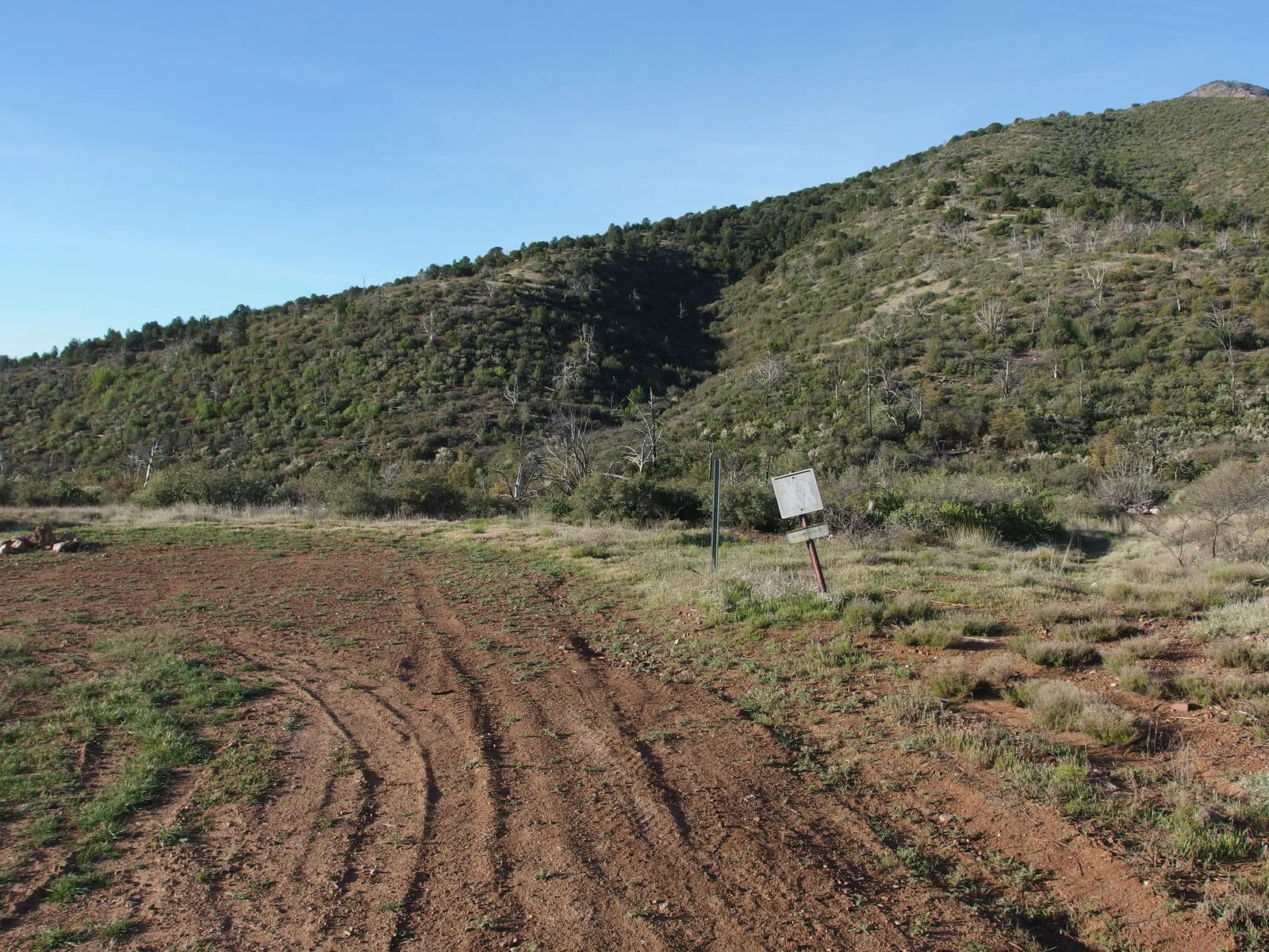
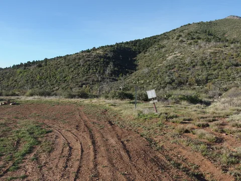 Mineral Creek trailhead
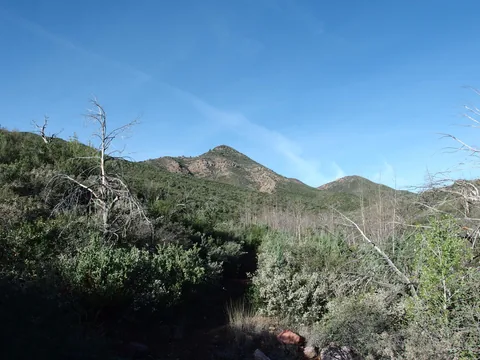 Looking towards the first ridge to climb
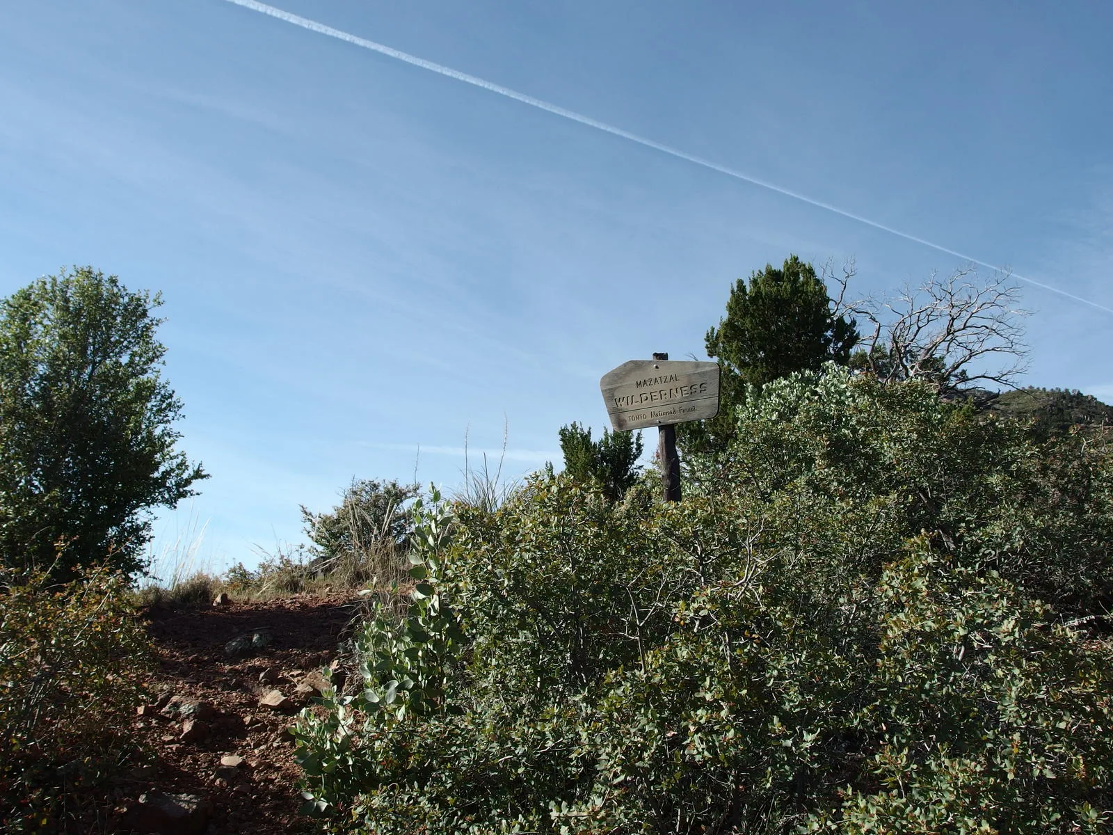
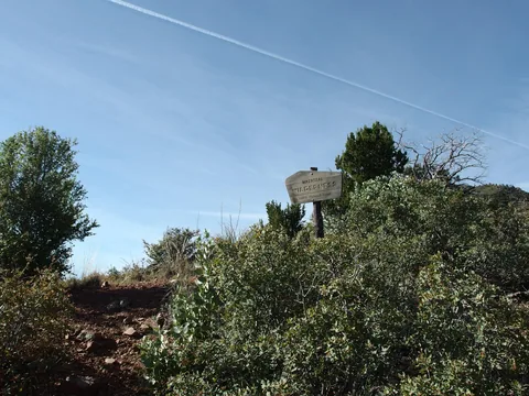 Finally at the wilderness boundary
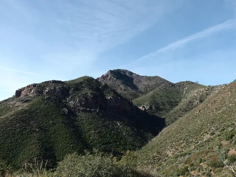 Deep gorge of Dennis Creek
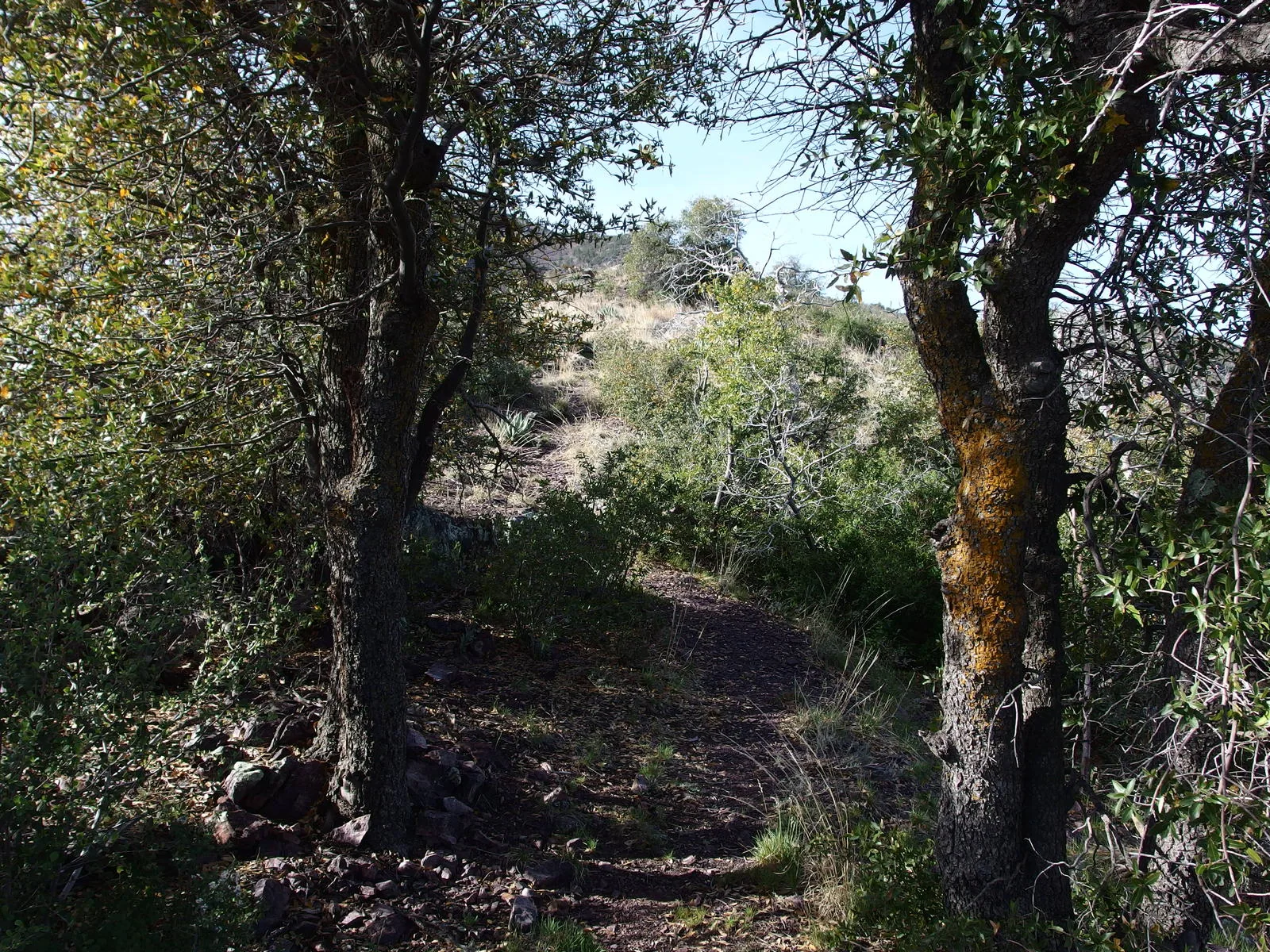
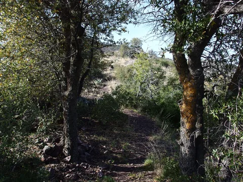 Spot of shade along the trail
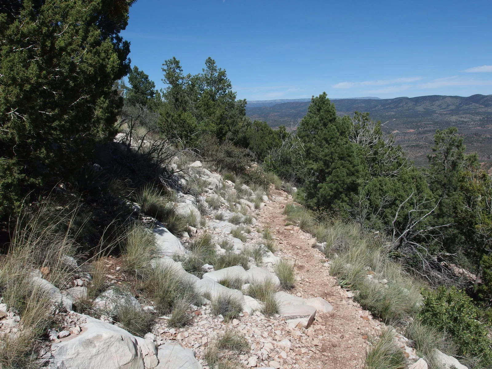
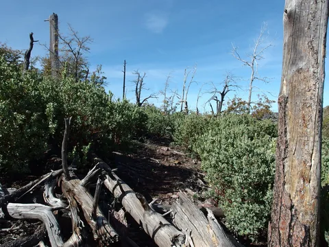 Cleared, easy going along the ridge
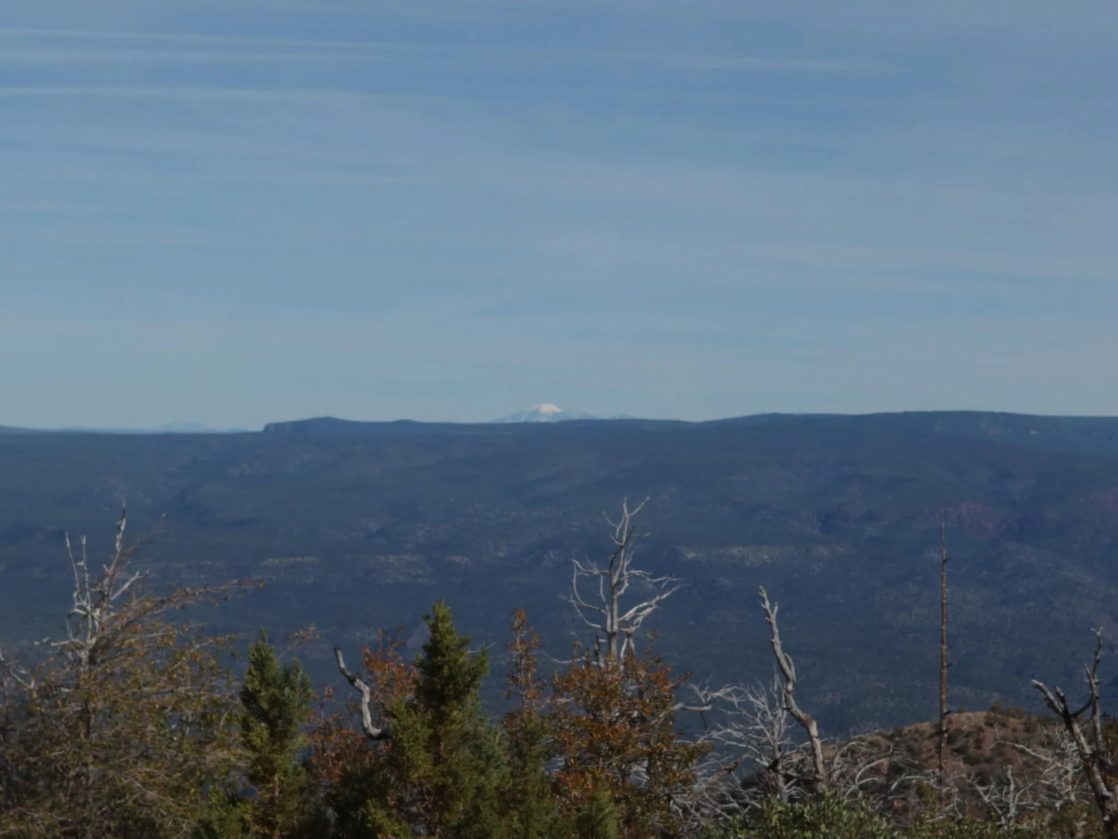
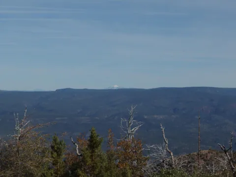 Snow on a distant Humphrey's Peak
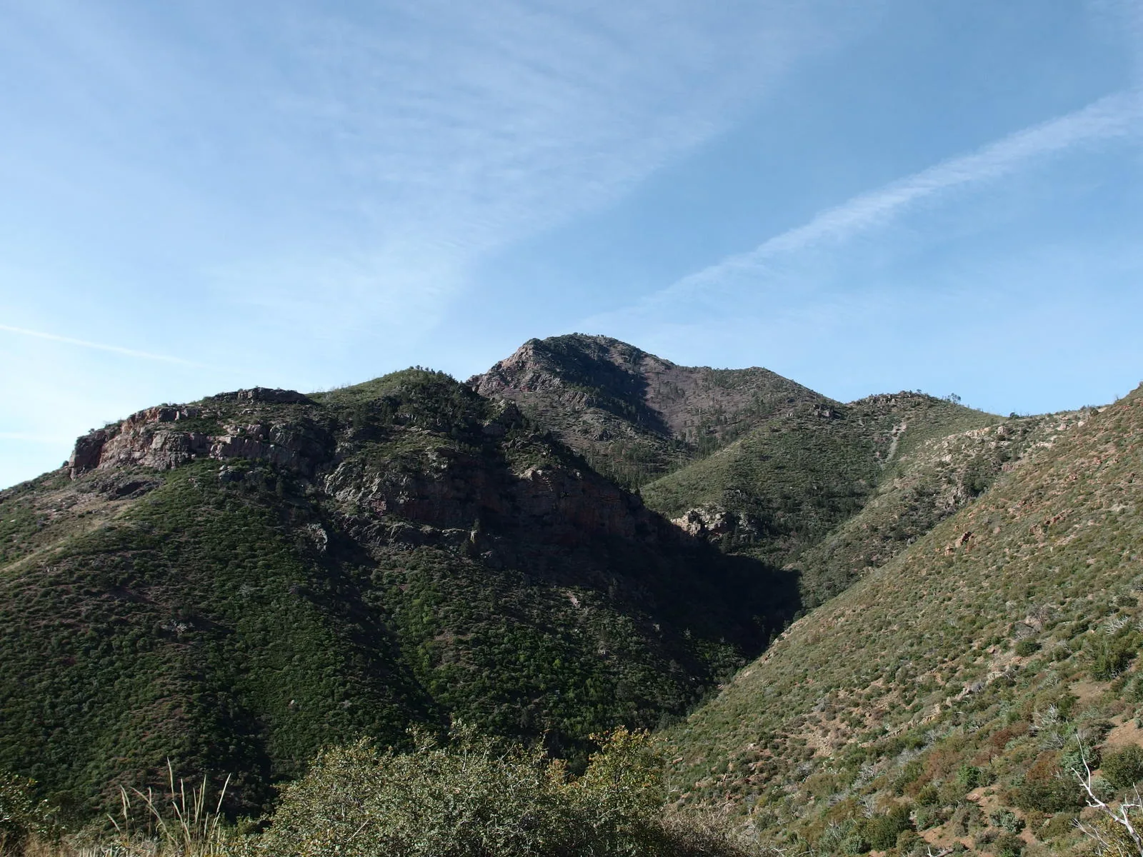
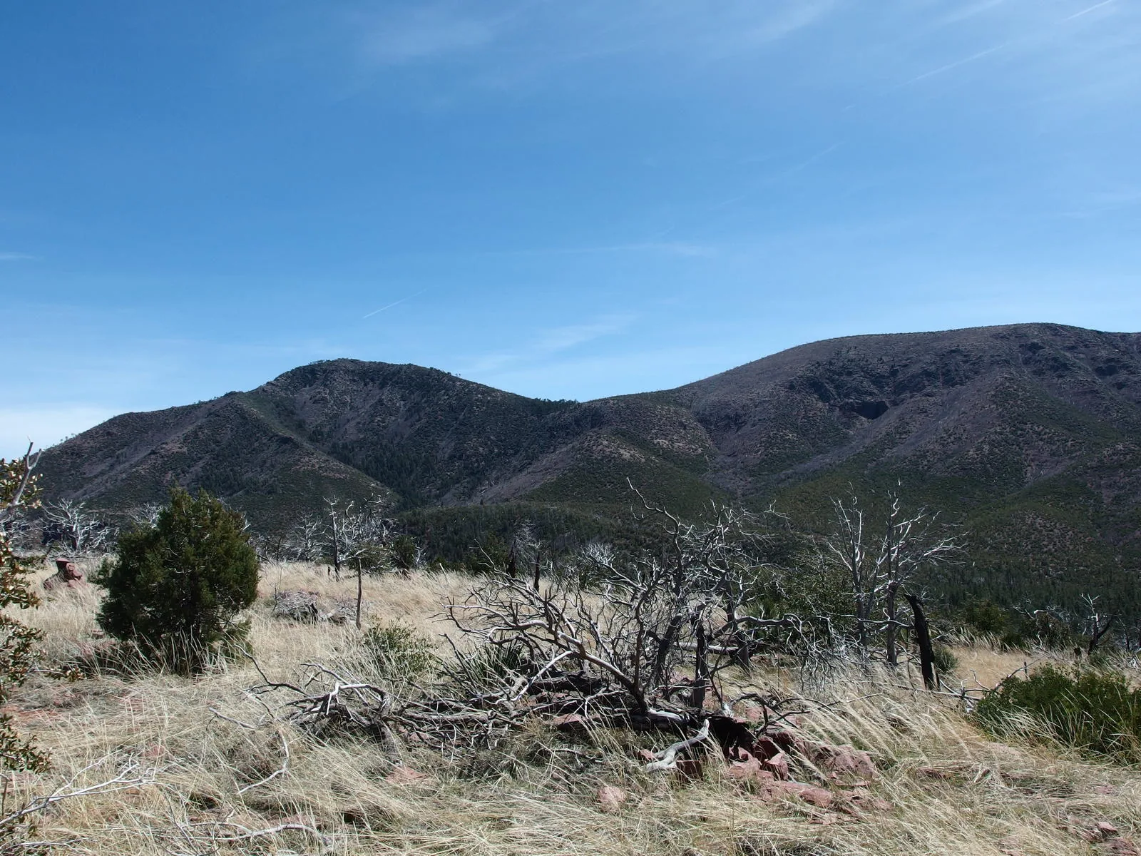
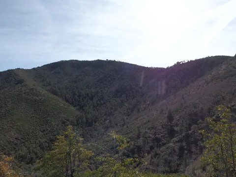 Close view of the ridge along North Peak
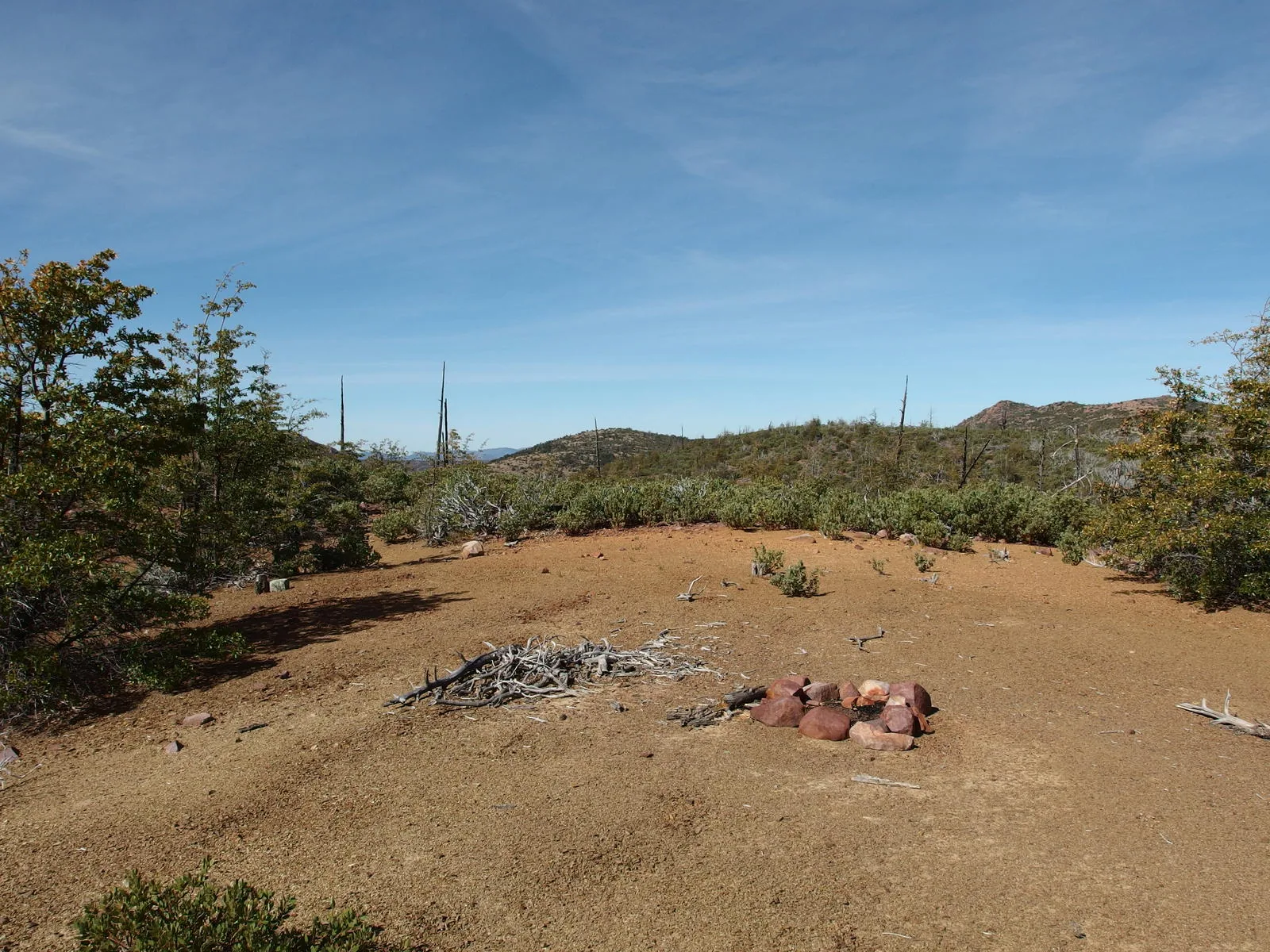
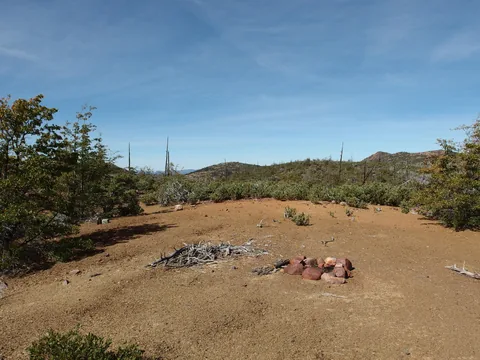 An exposed campsite on the shoulder
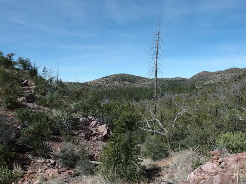 Almost to The Park
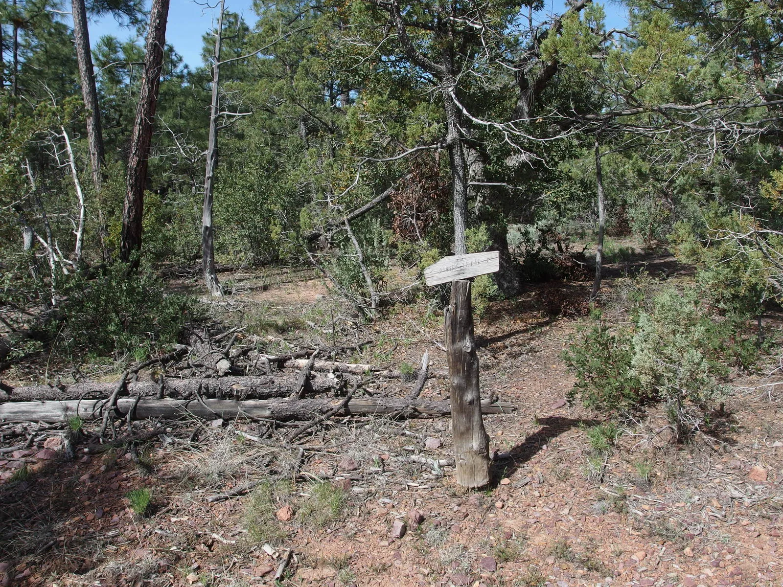
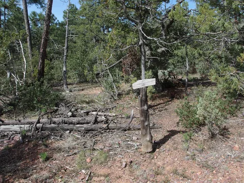 Lonely trail sign at the Mazatzal Divide junction
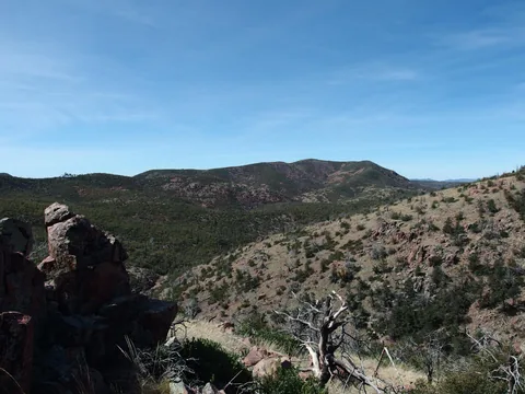 Unnamed peak along the Willow Spring Trail
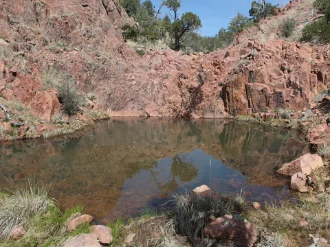 Plenty of water at Pete's Pond
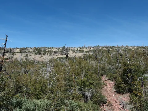 Hot, sunny climb out of The Park
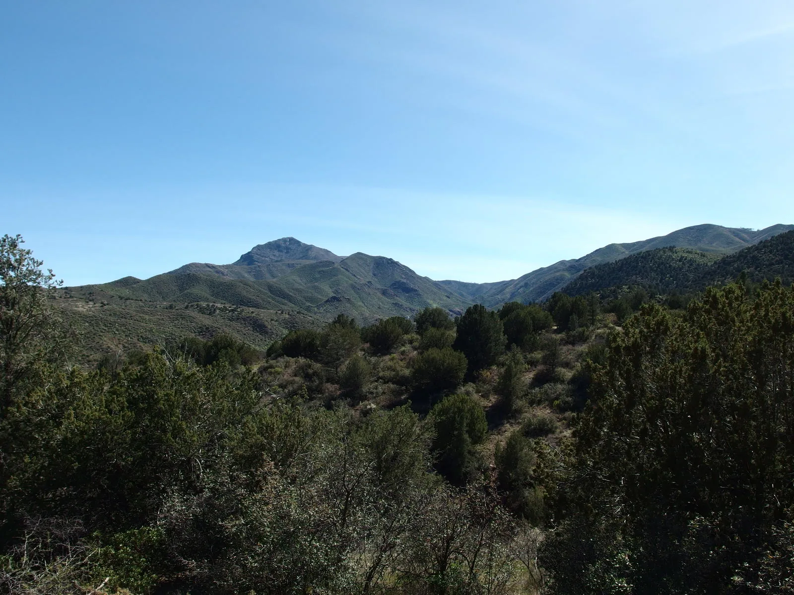
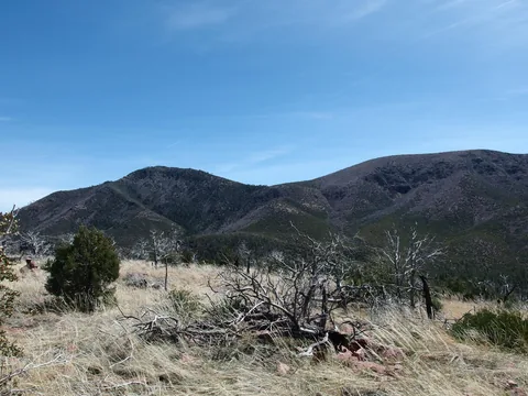 Looking back at North Peak
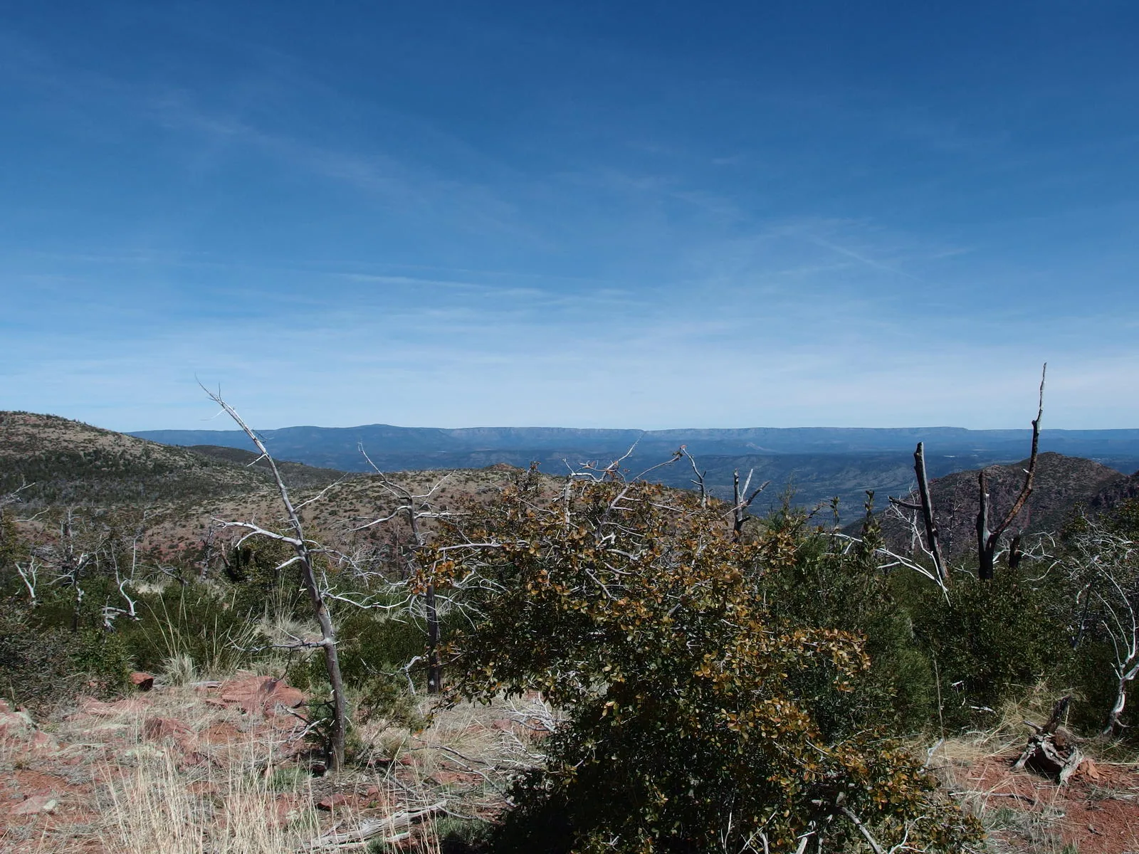
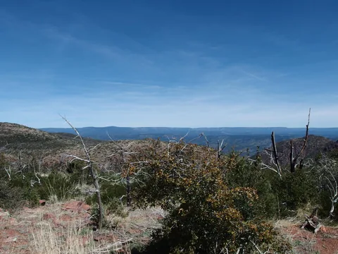 Distant line of Mogollon Rim
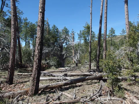 Humble stand of pines along the trail
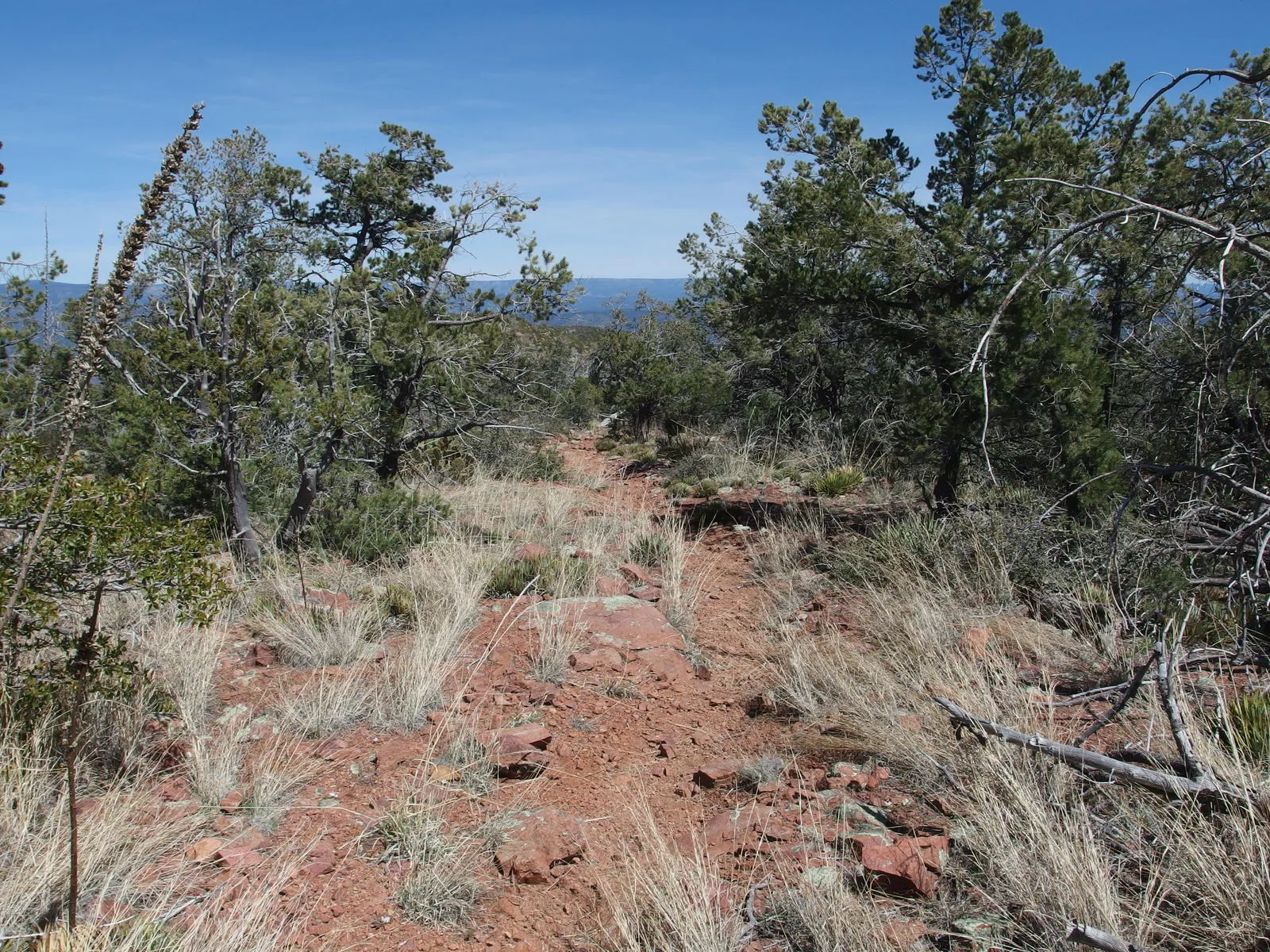
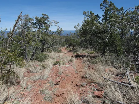 Easy, somewhat rocky trail
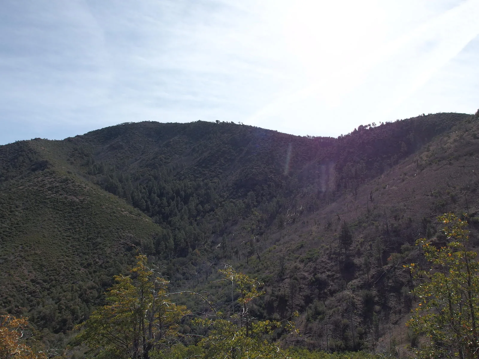
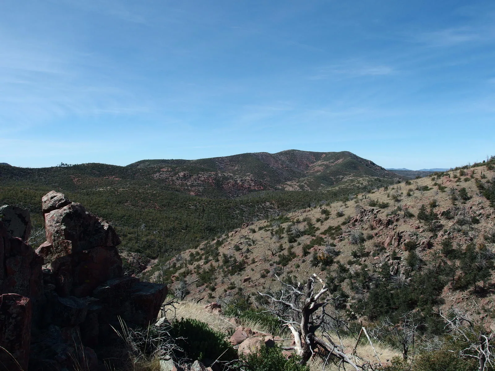
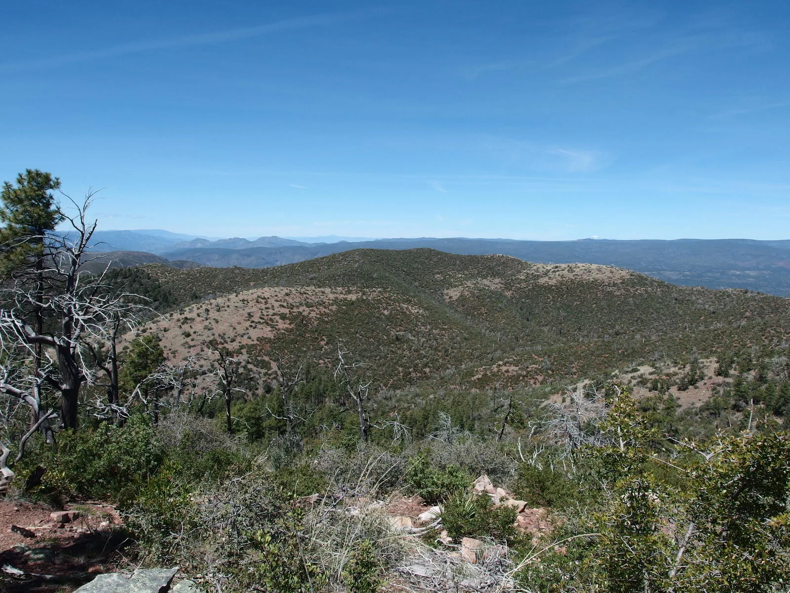
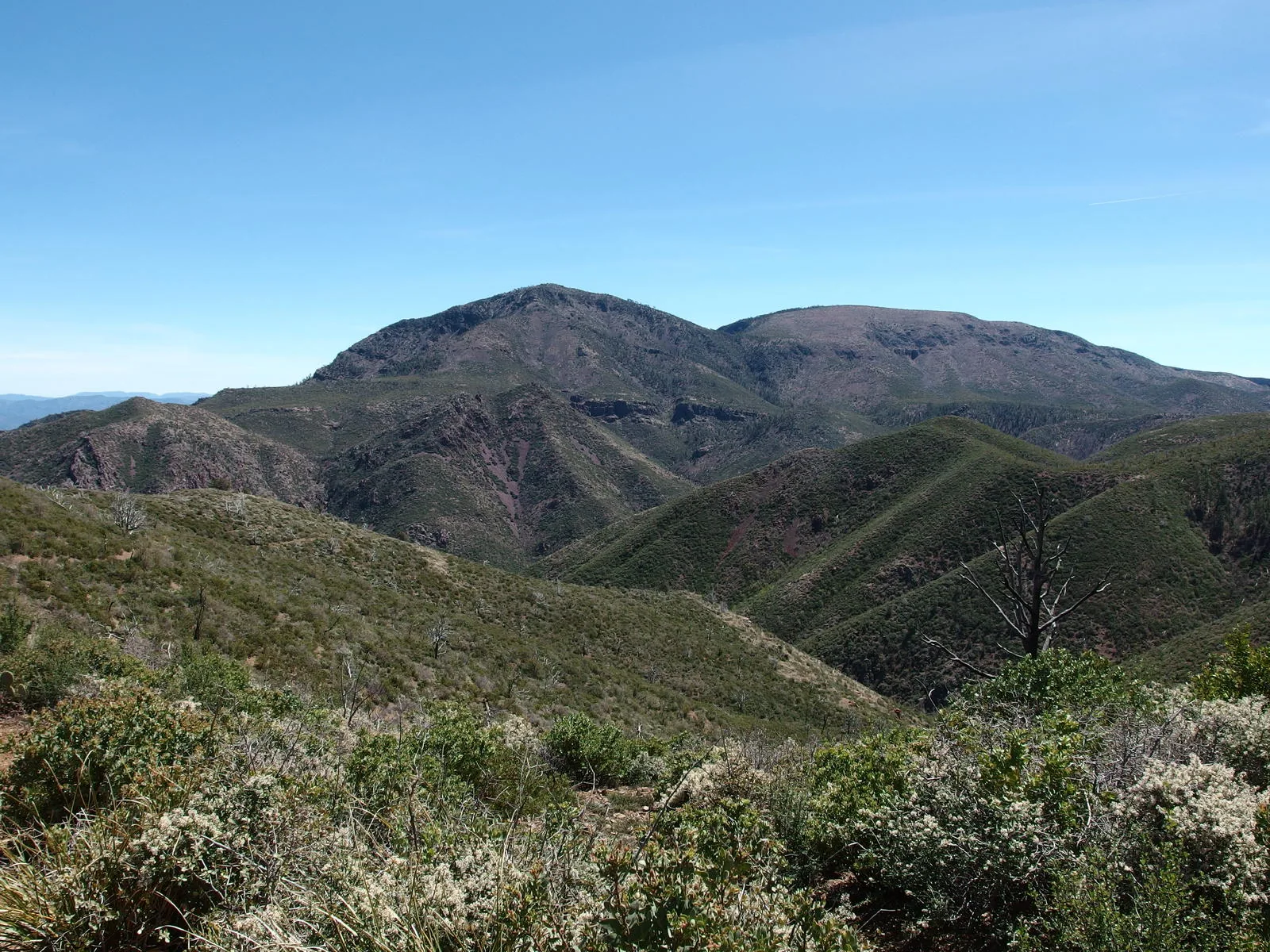
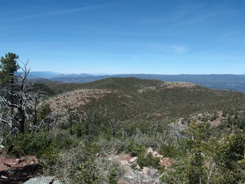 Northern hills of the Mazatzals
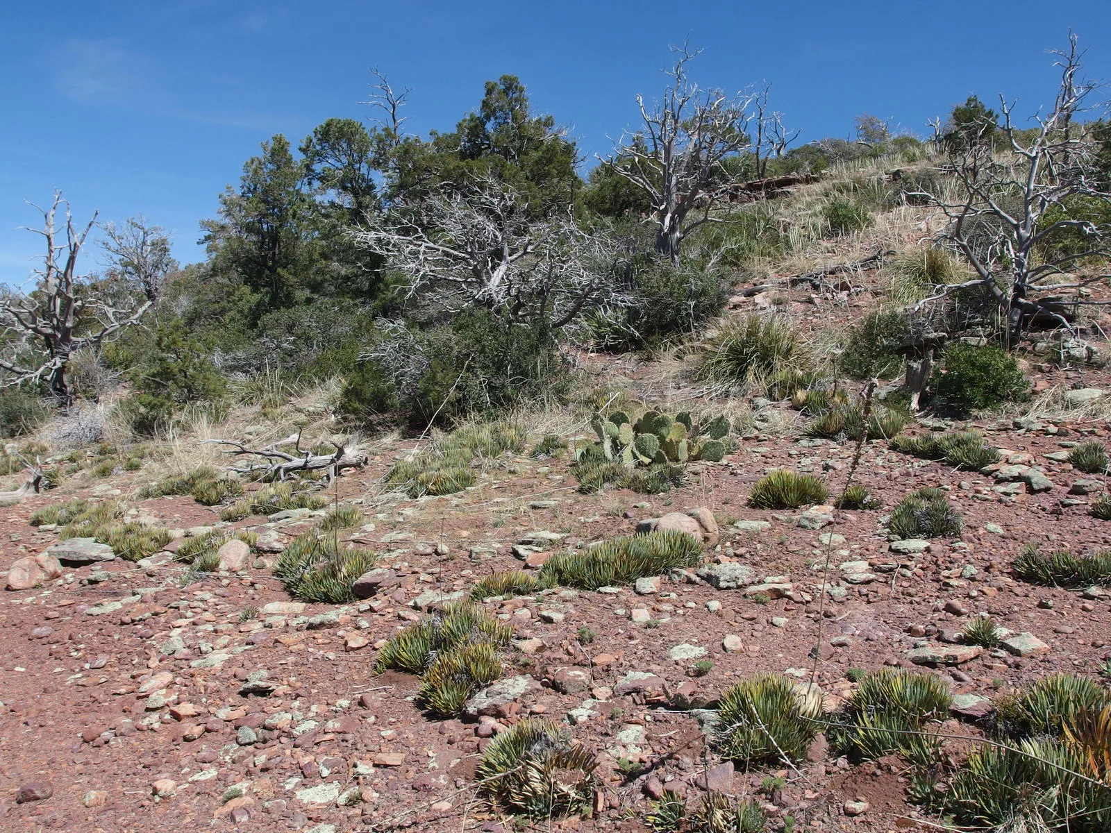
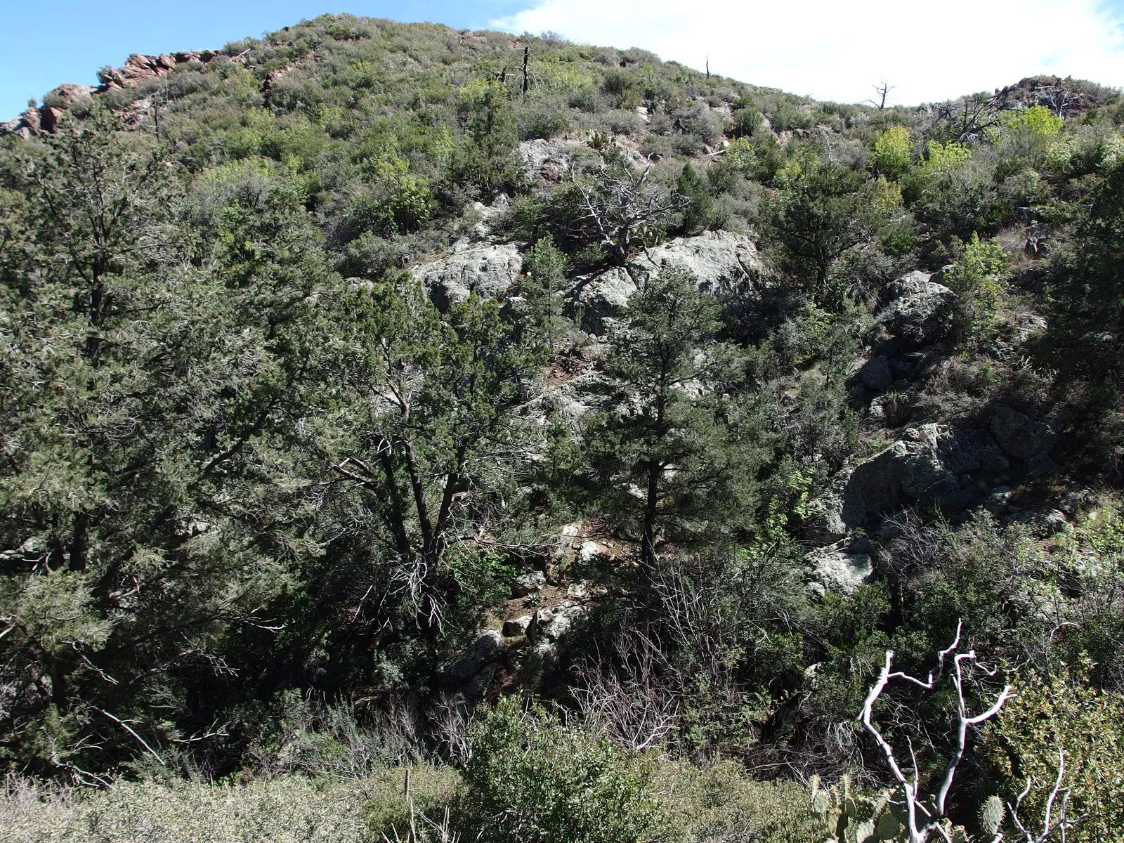
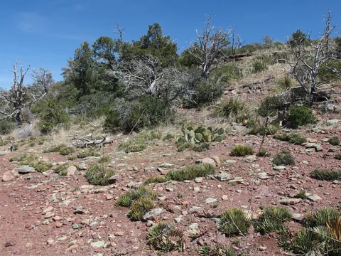 Cactus, trees, and shin-stabbers on the hillside
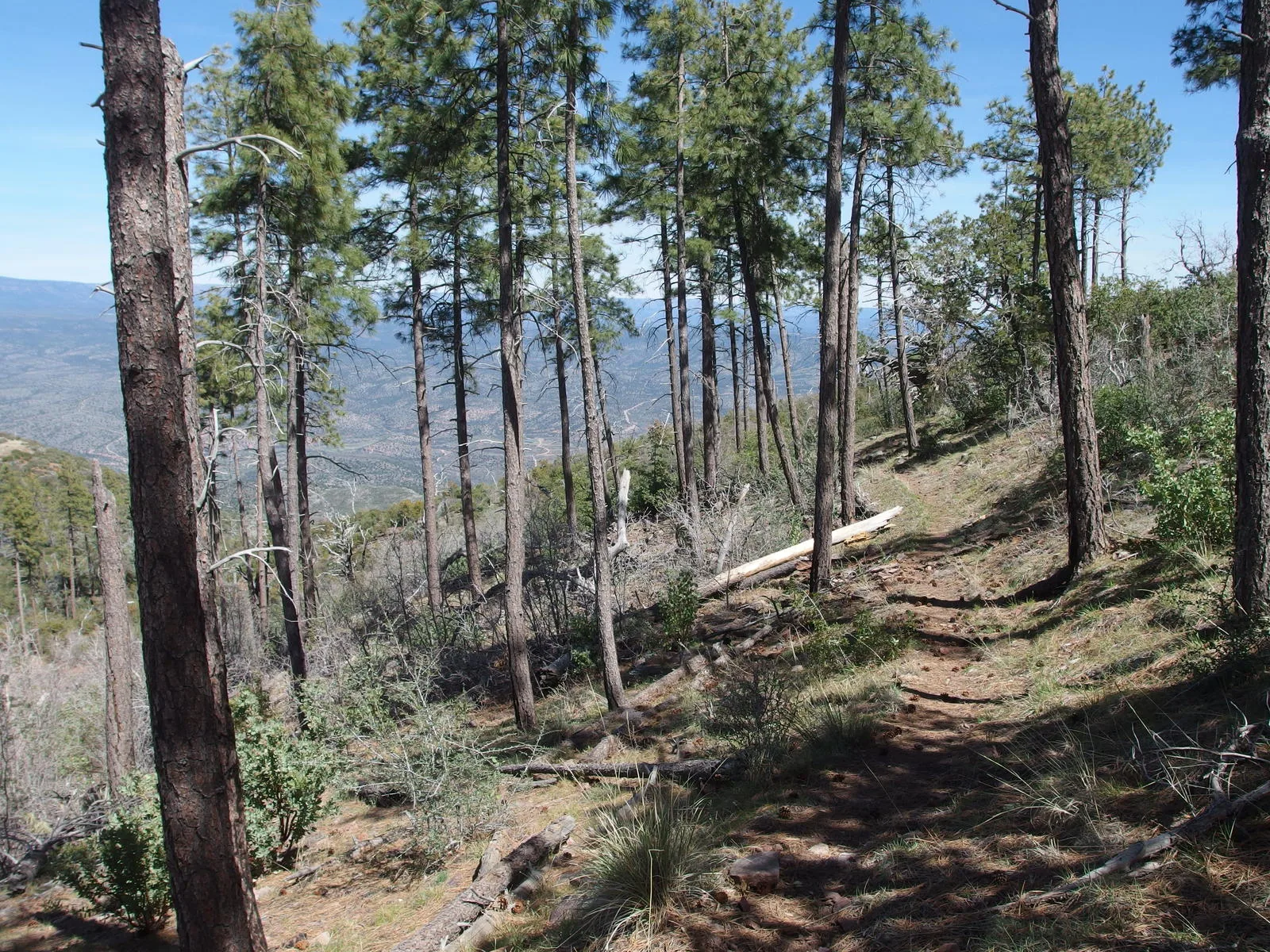
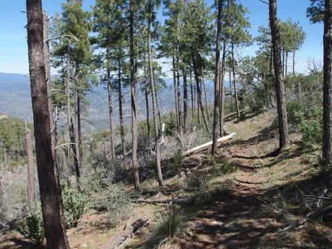 Spotty stand of pines near the top of the descent
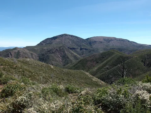 Last view south for a while
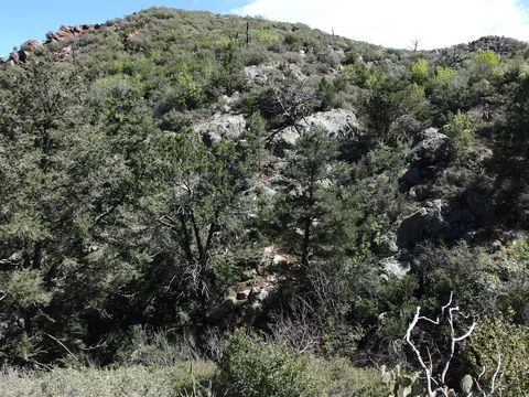 Some lush growth below a spring
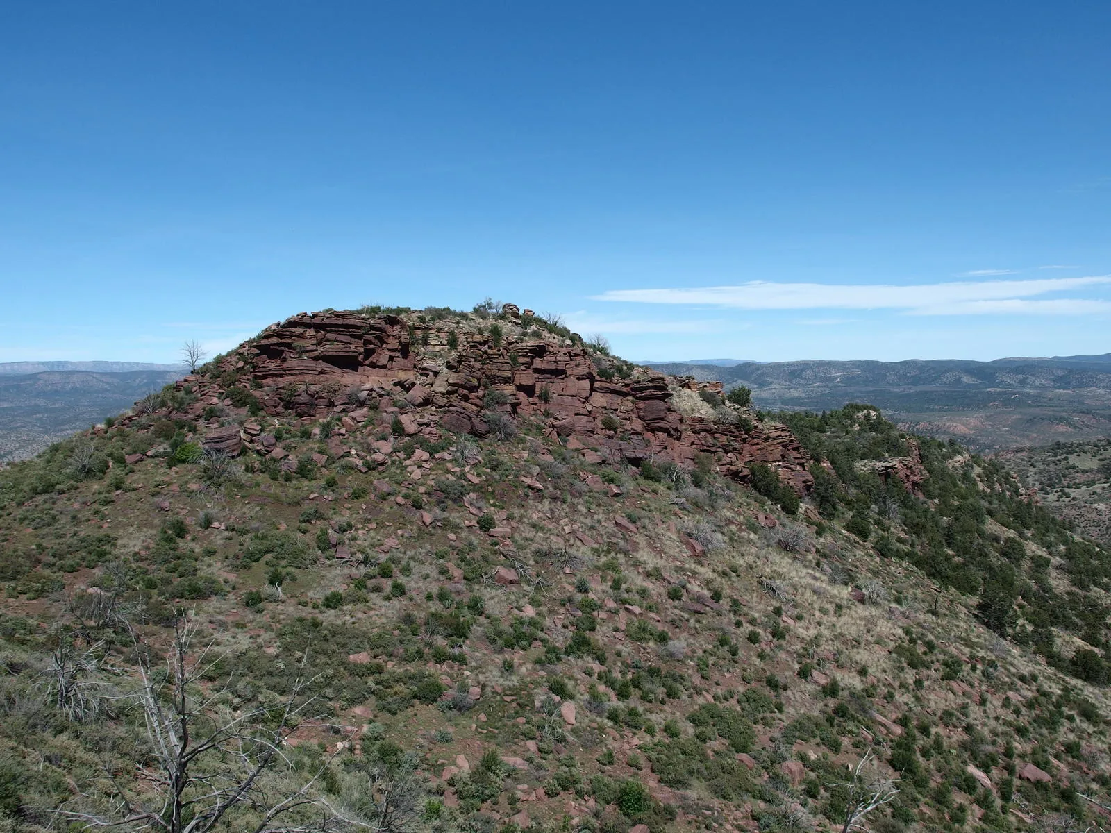
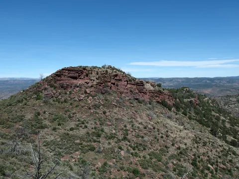 Lonely rock outcropping along the descent
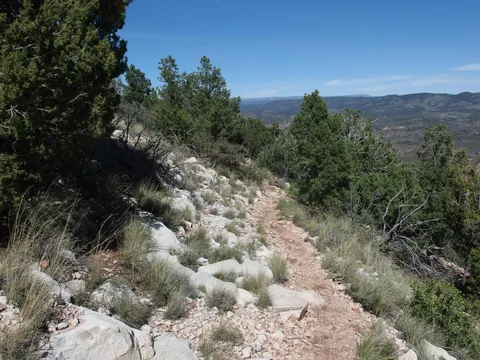 Burst of white rocks along the trail
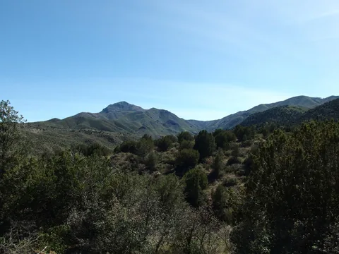 Afternoon sun on North Peak
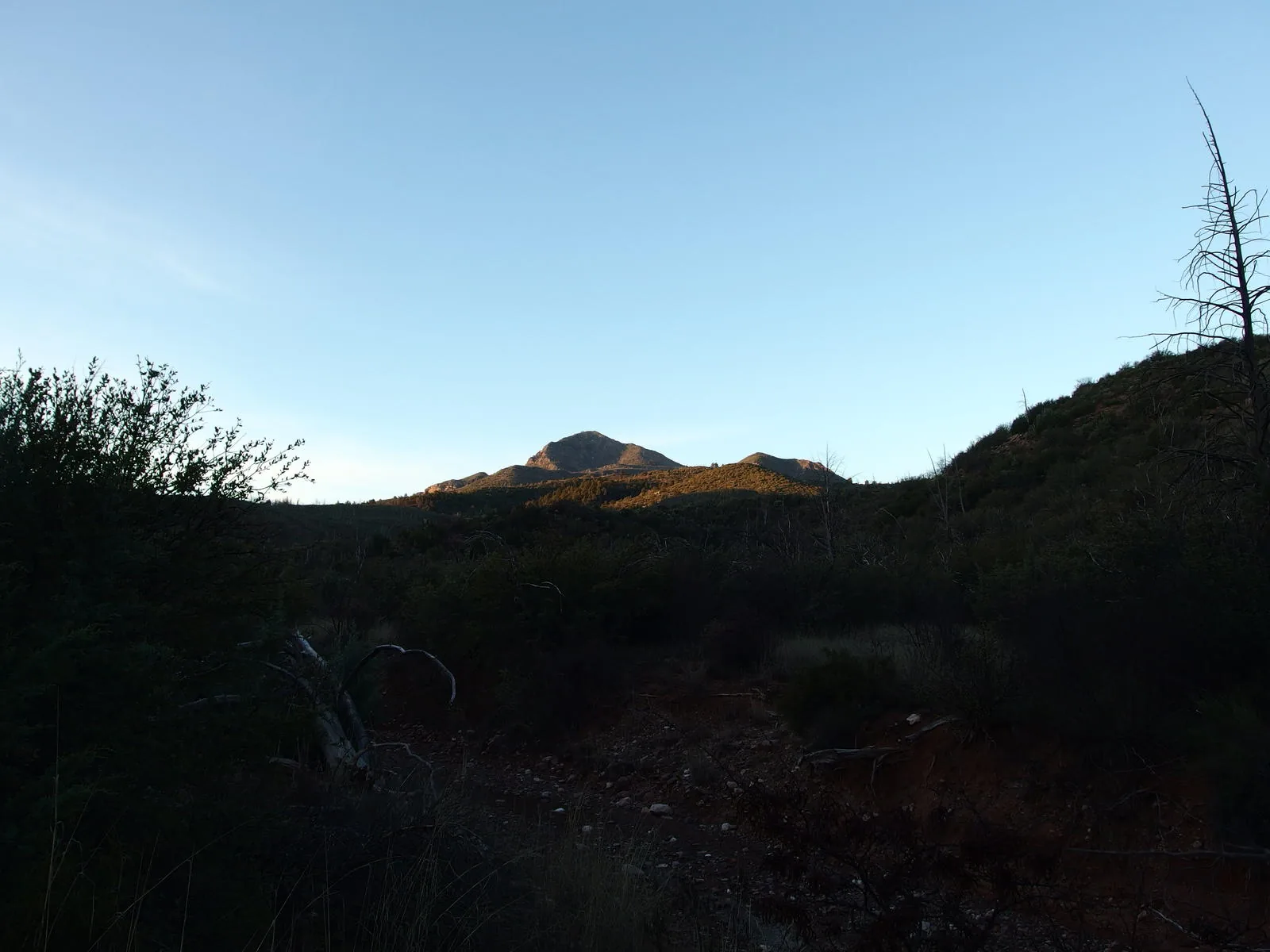
Along the way
Spring 1
- Pole Hollow Spring
Creek 3
- Pole Hollow Canyon
- Dennis Creek
- Wet Bottom Creek
Shoreline 1
- Pete's Pond
Mountain 1
- North Peak
Camping 1
- The Park
Trailhead 2
- City Creek Trailhead
- Mineral Creek Trailhead
Junction 1
- North Peak / Mazatzal Divide Trail Junction