Mount Ord
15.1 mi3,974 ft
7,156 ft
3,209 ft
Great workout hike with healthy gain along old and new two-tracks. Some old mining ruins along the first mile.
Photos
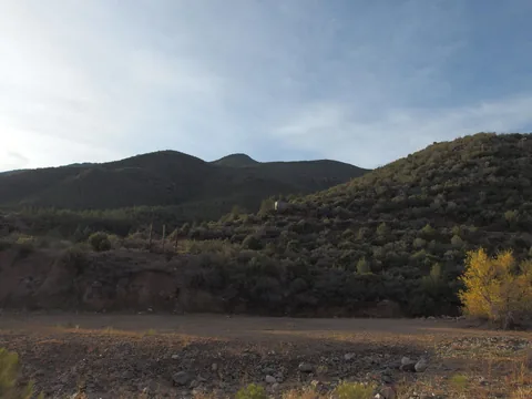 Soft morning light falling over the green green hills
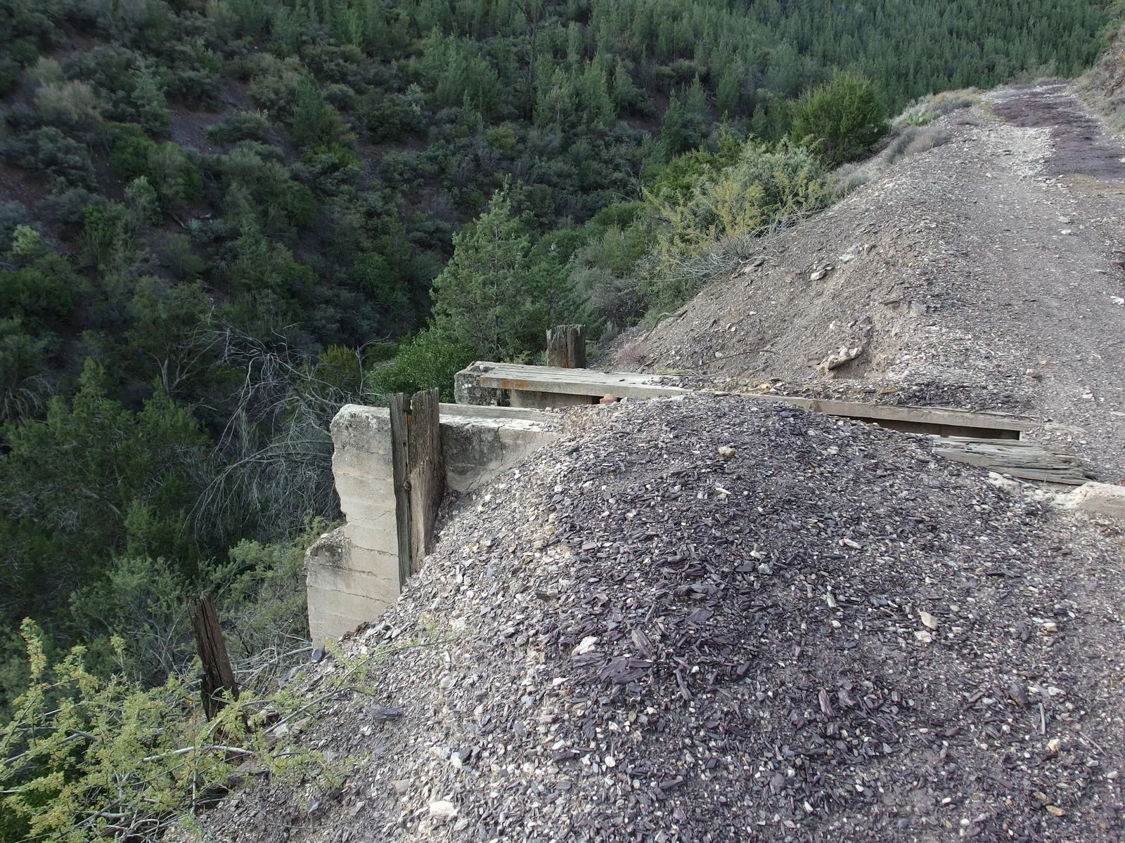
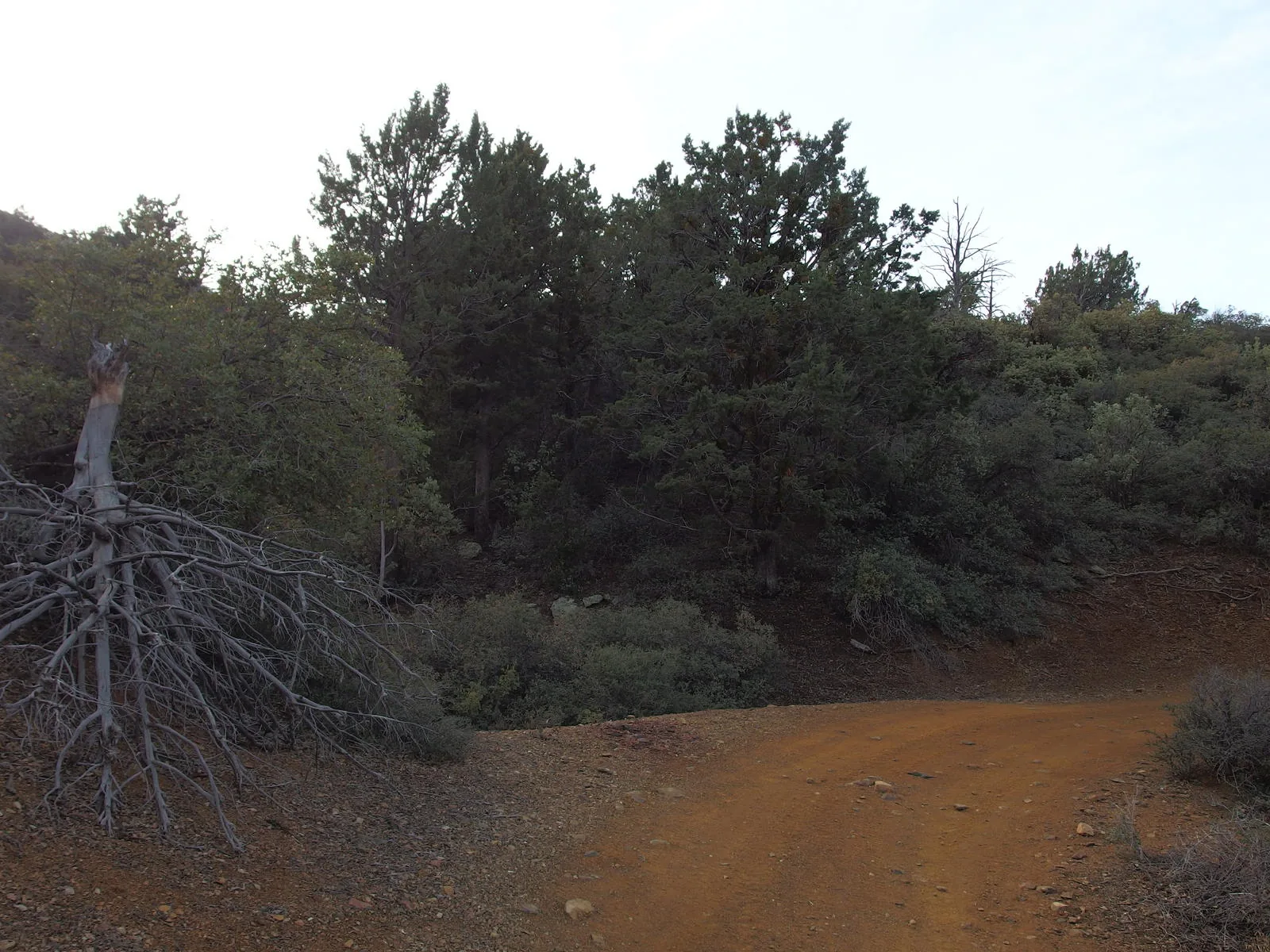
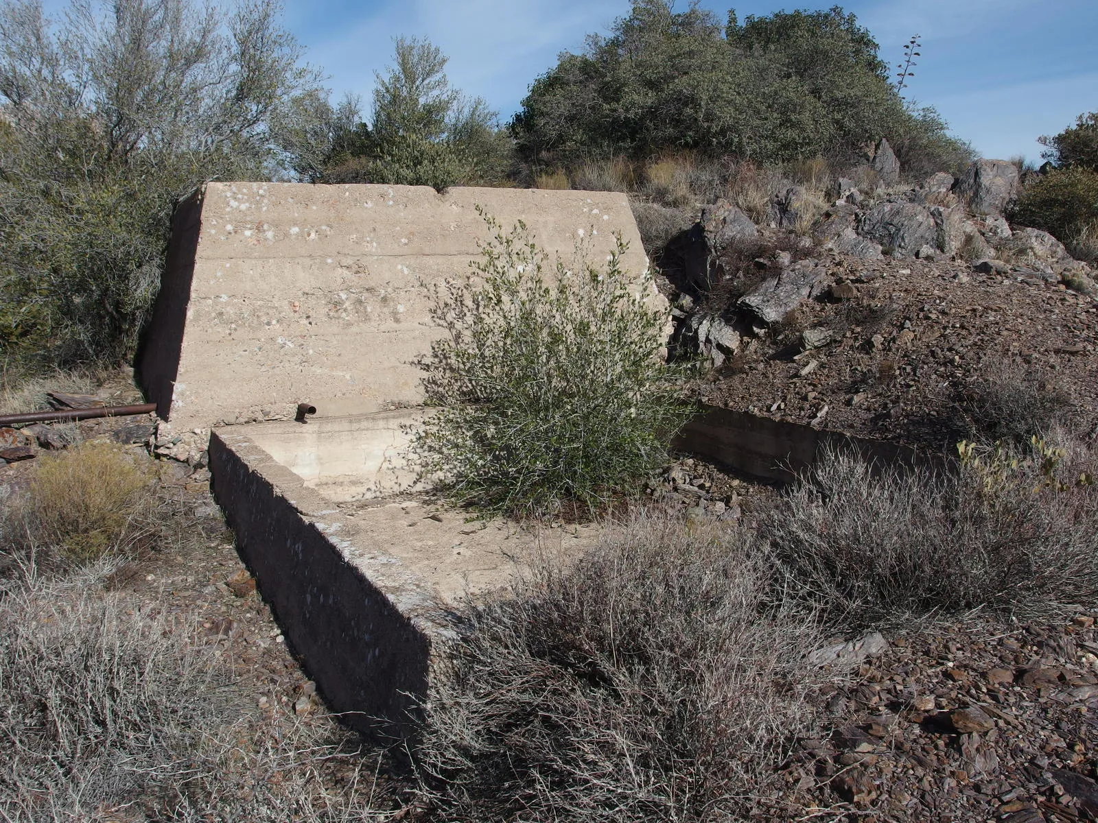
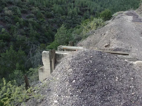 An odd cement foundation along the purple road
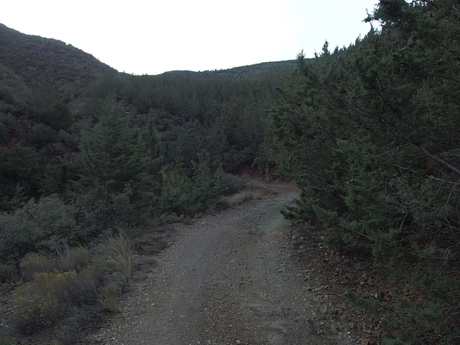
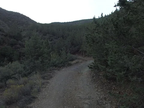 Green trees reaching onto the trail
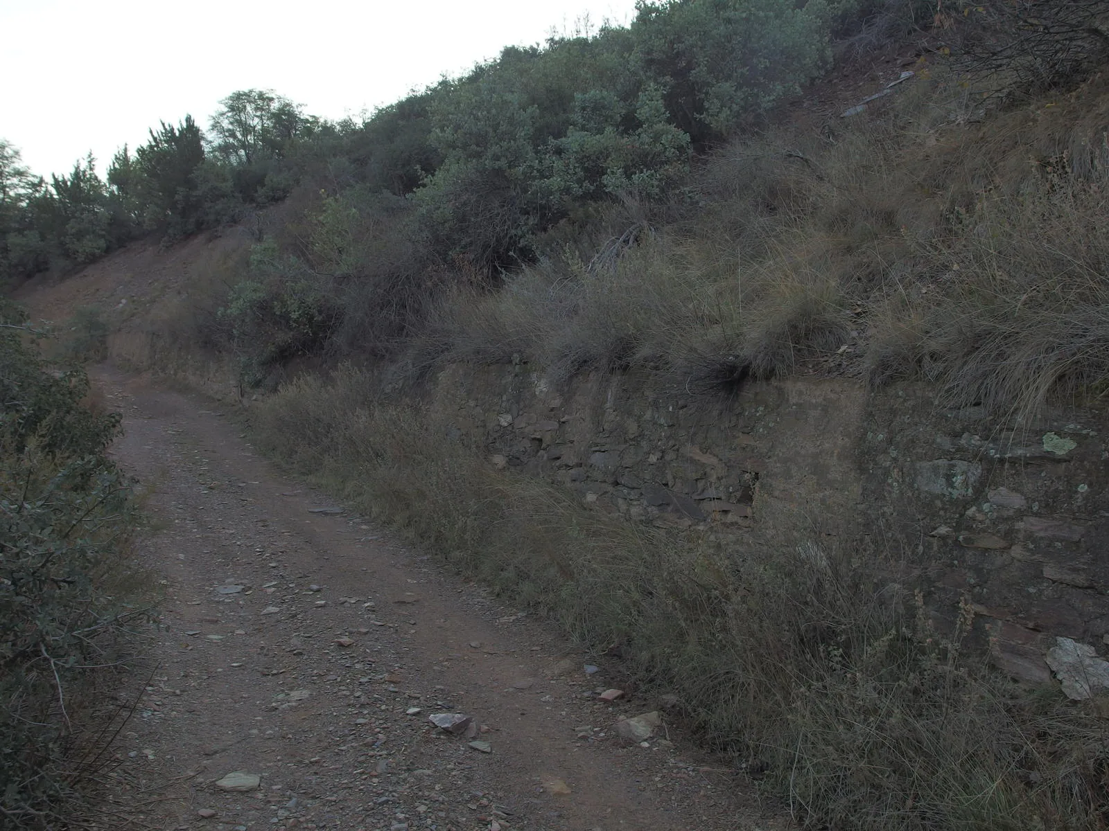
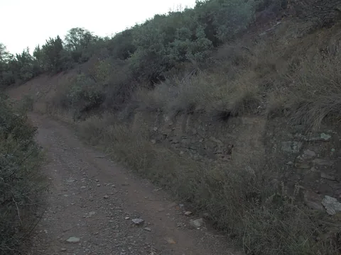 A long retaining wall on the old road
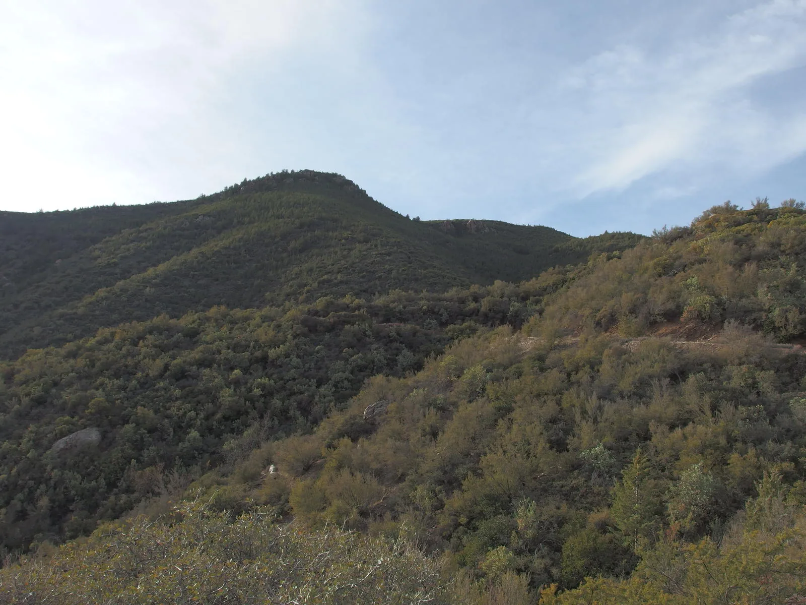
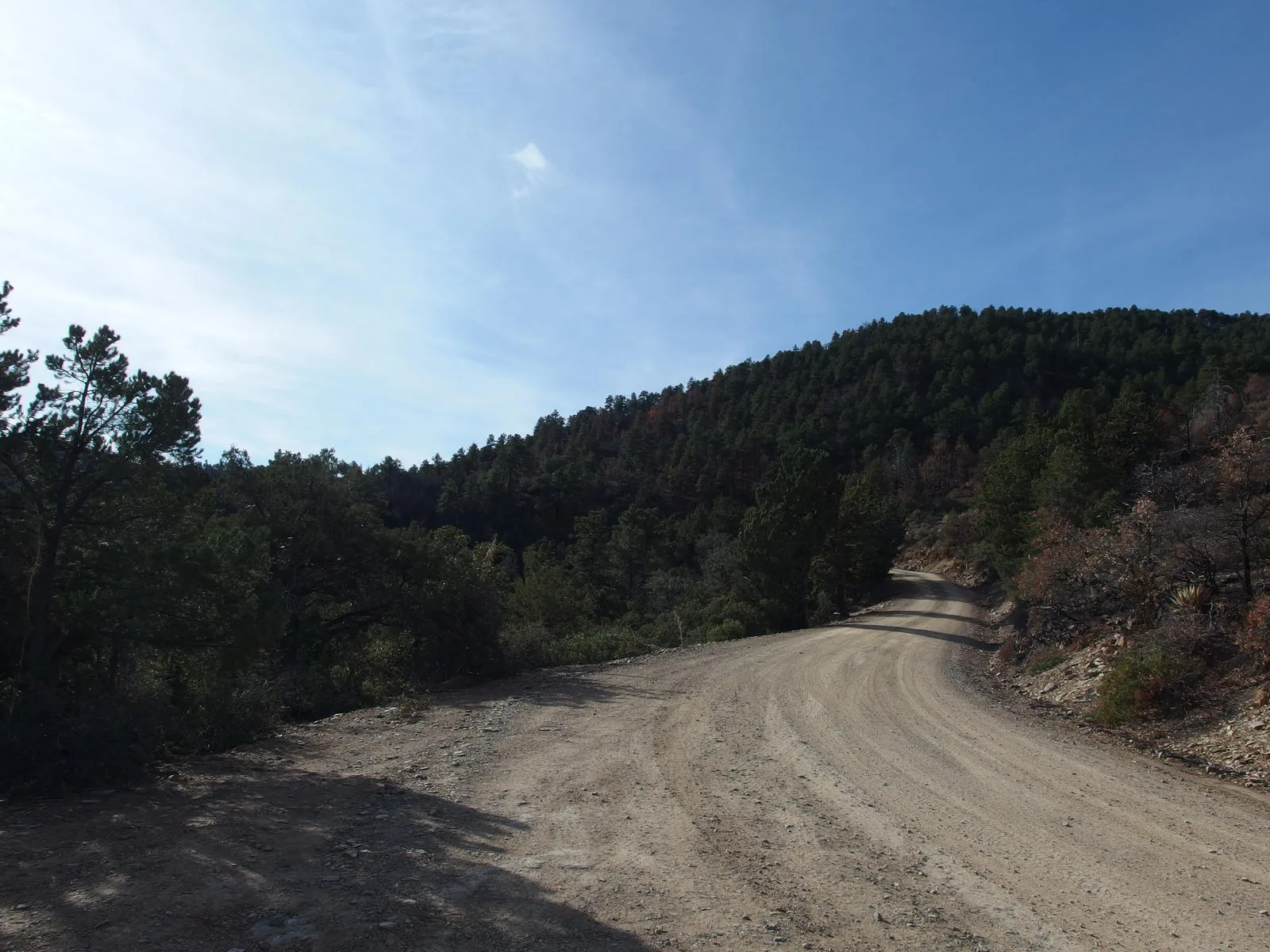
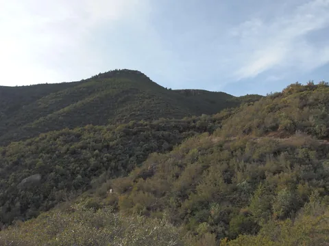 Still plenty of climb to go
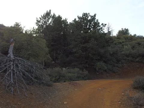 Changing colors along the road
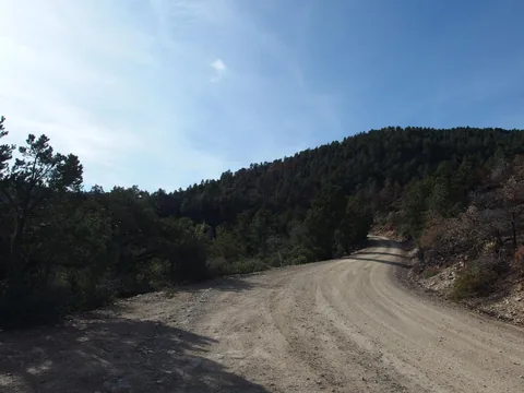 A more popular way up the mountain
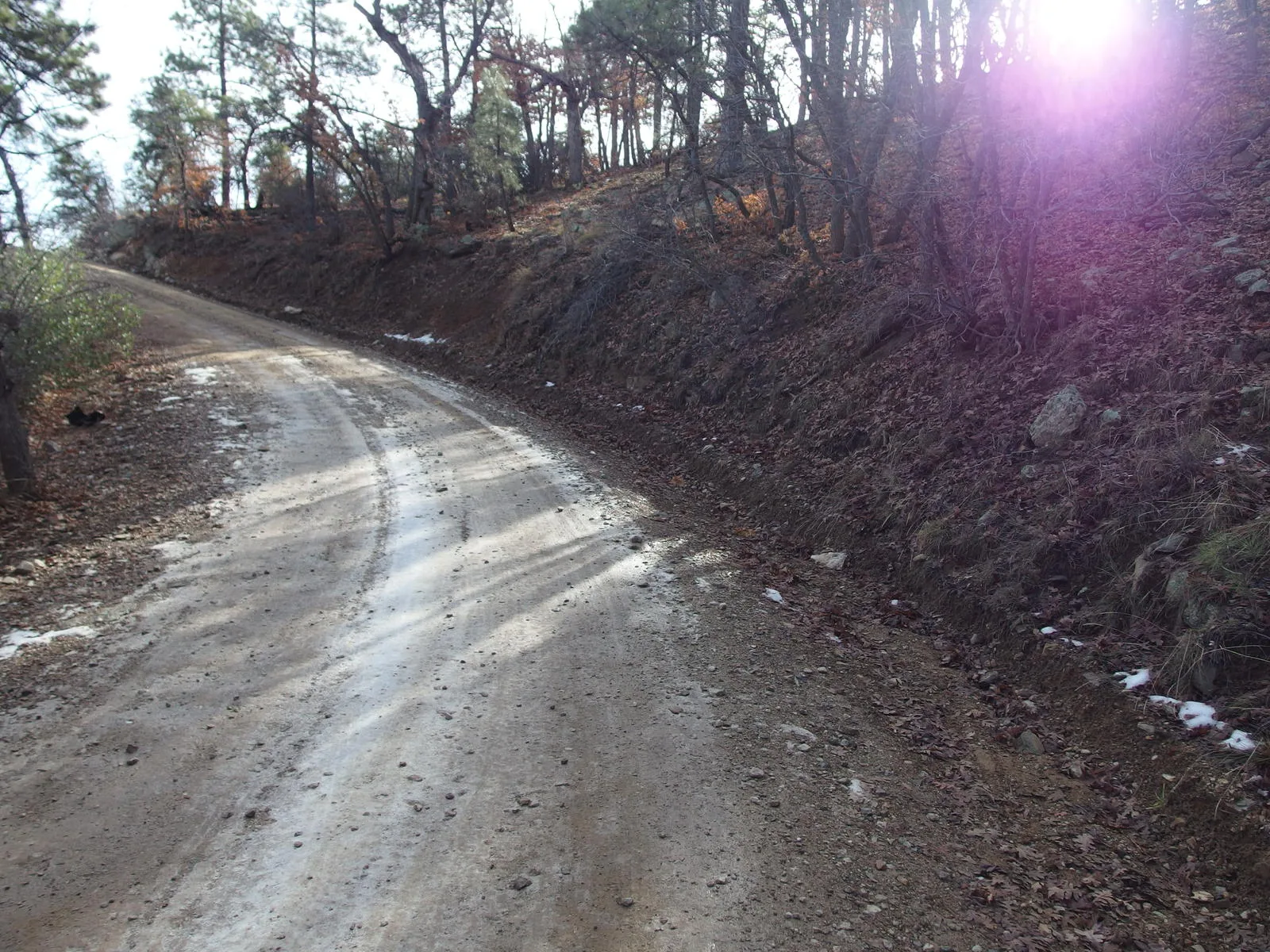
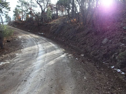 Some hints of snow along the road
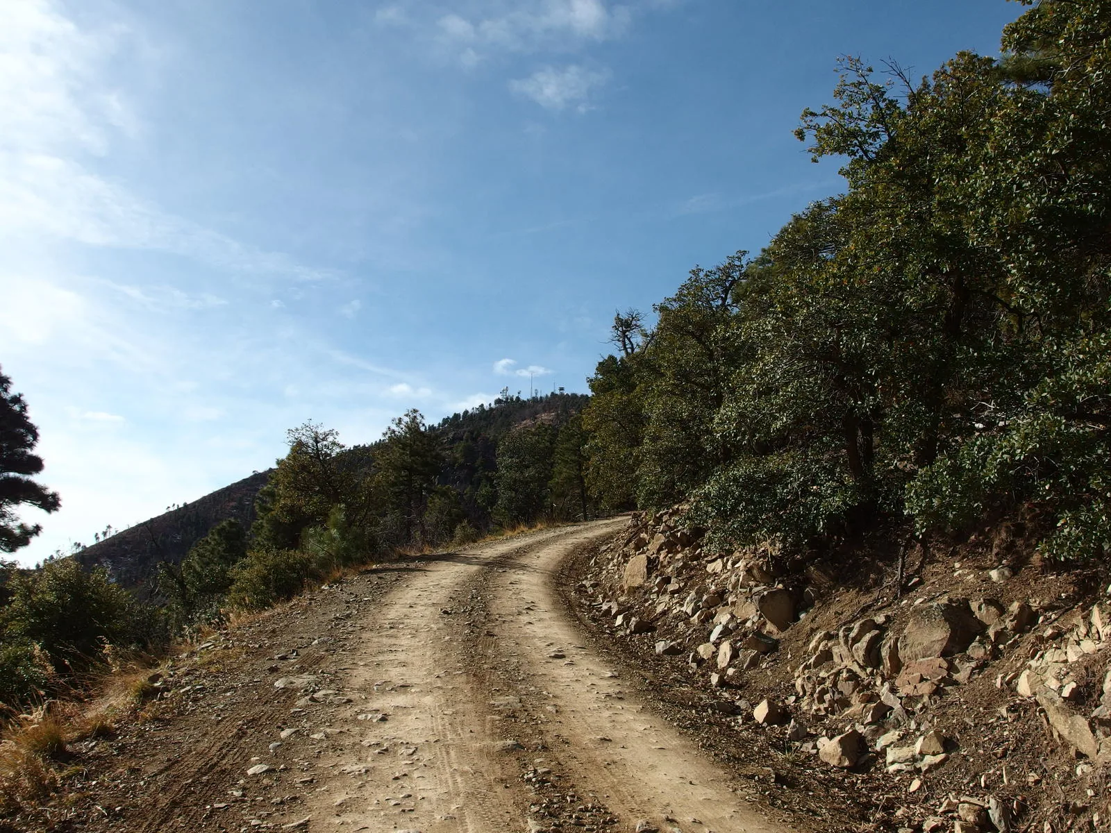
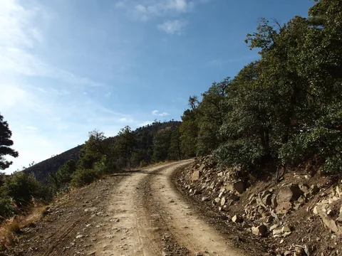 First view of the communication towers on Ord
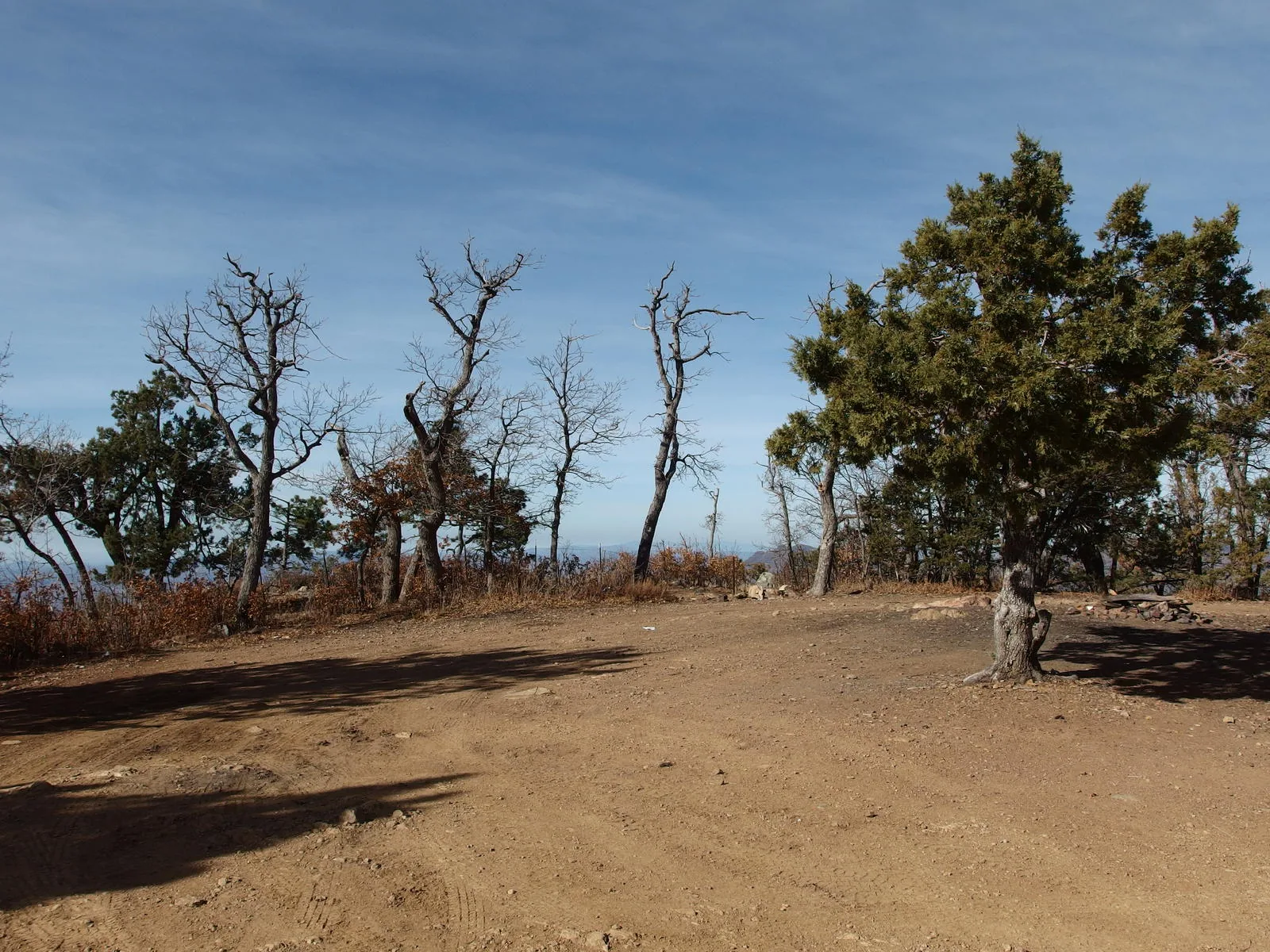
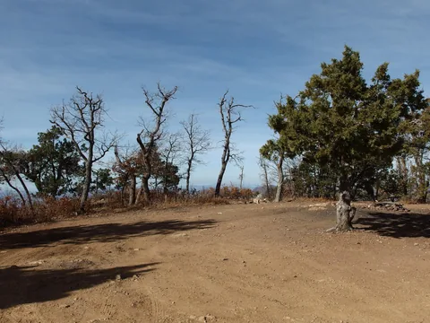 Turnaround and campsite near the gate
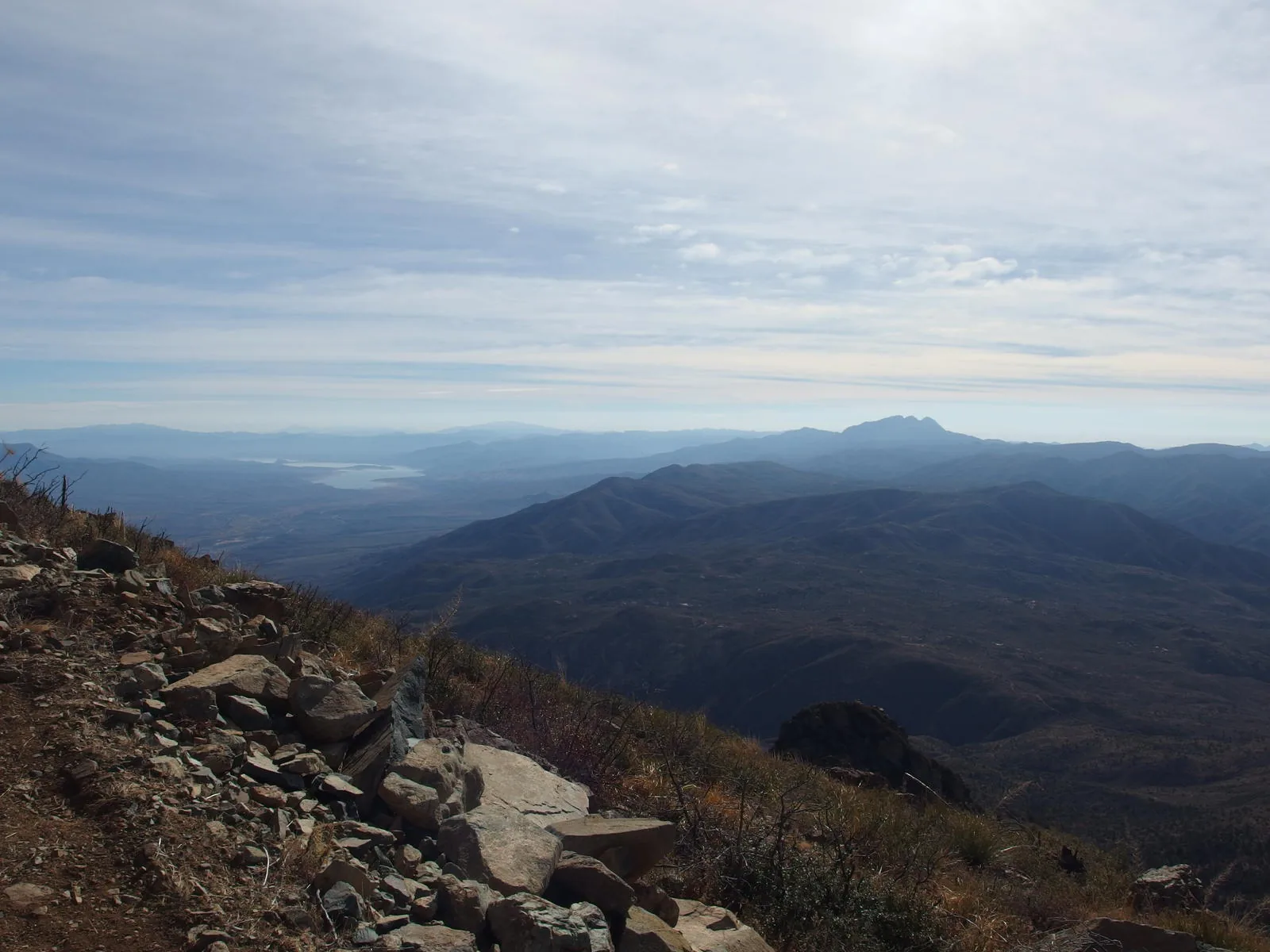
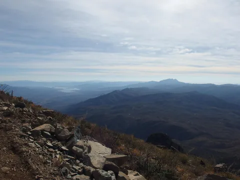 Four Peaks and Roosevelt Reservoir in the south
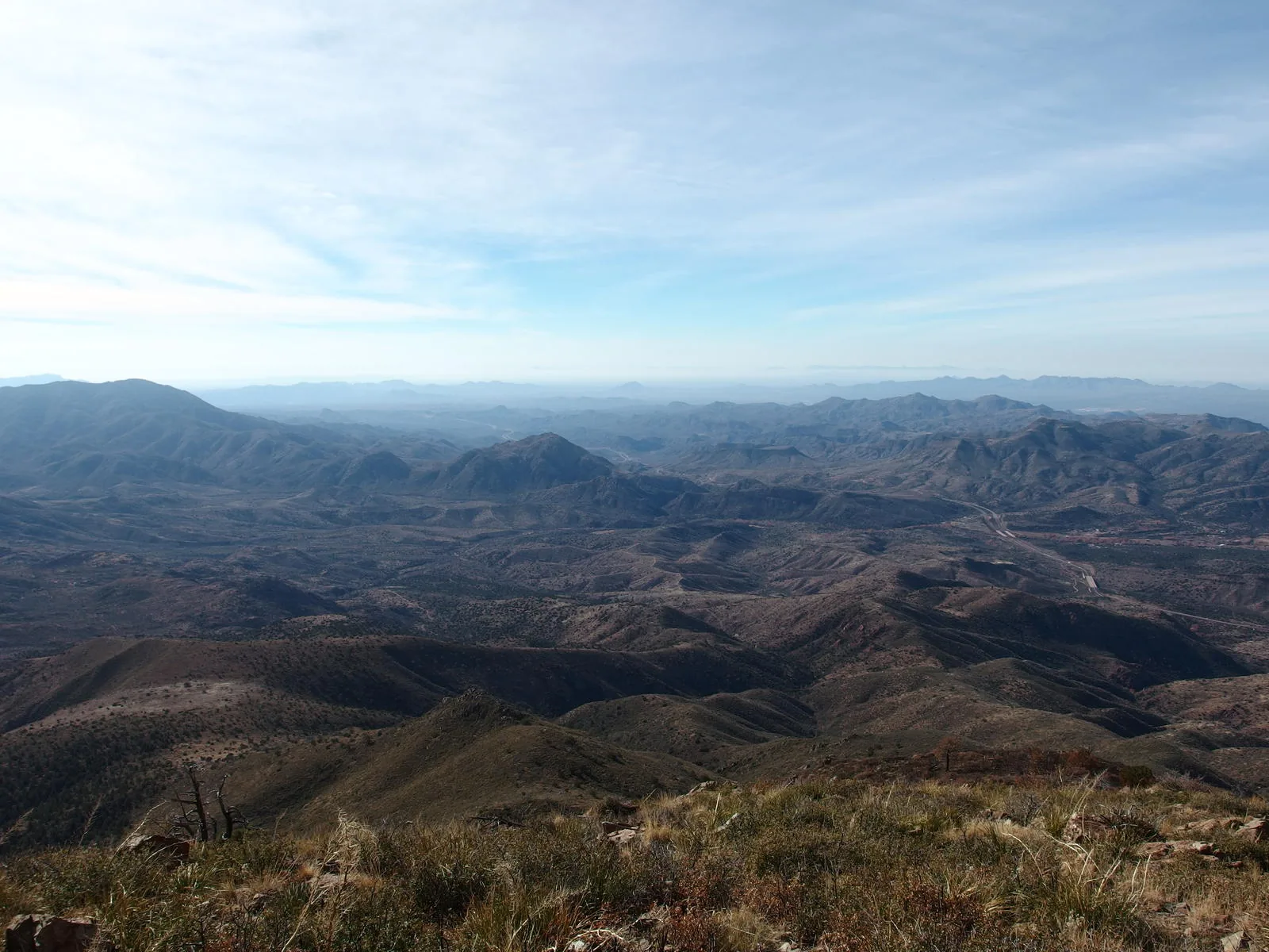
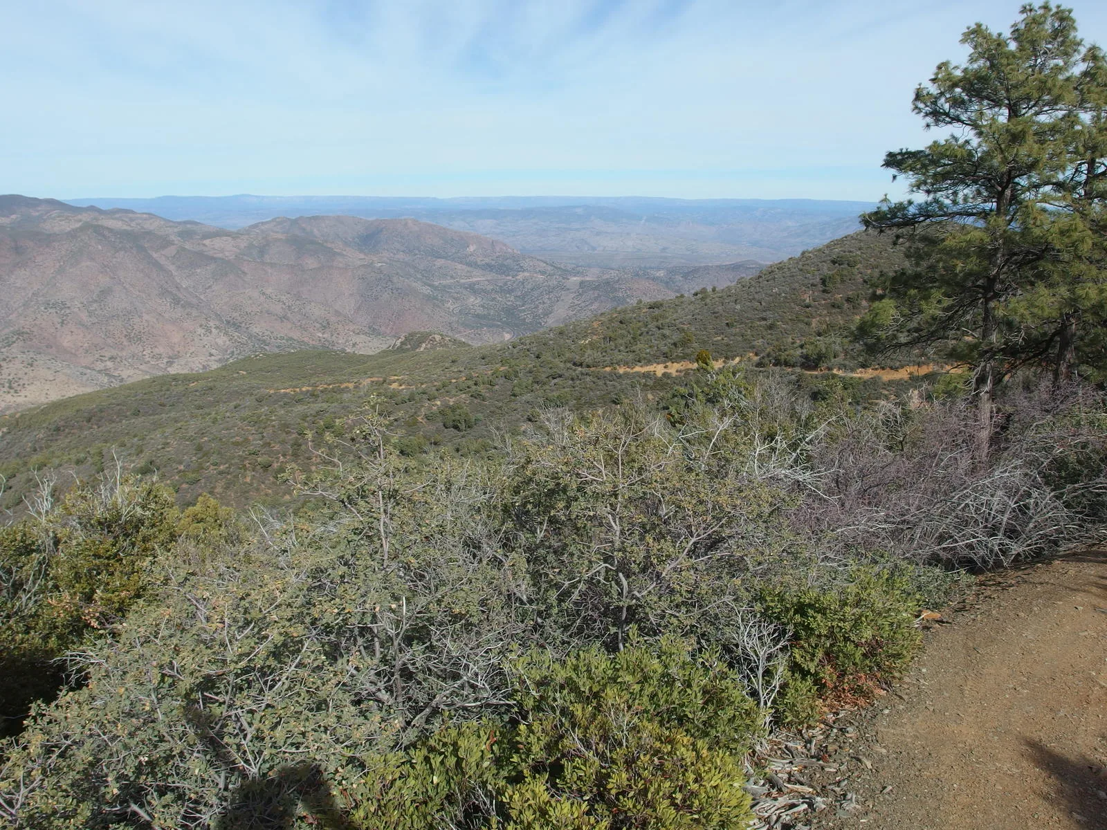
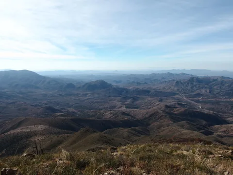 Beeline highway reaching towards the Phoenix haze
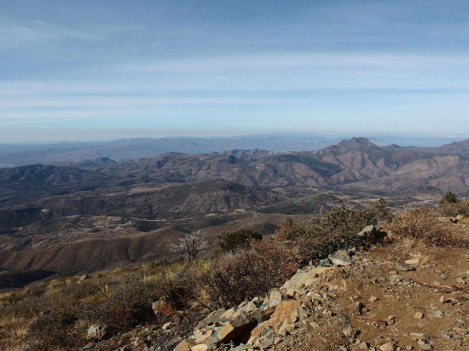
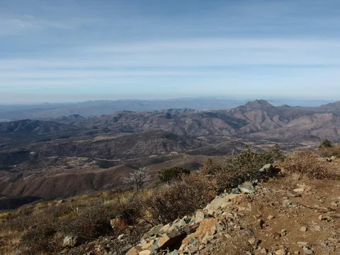 Saddle Mountain and other western hills
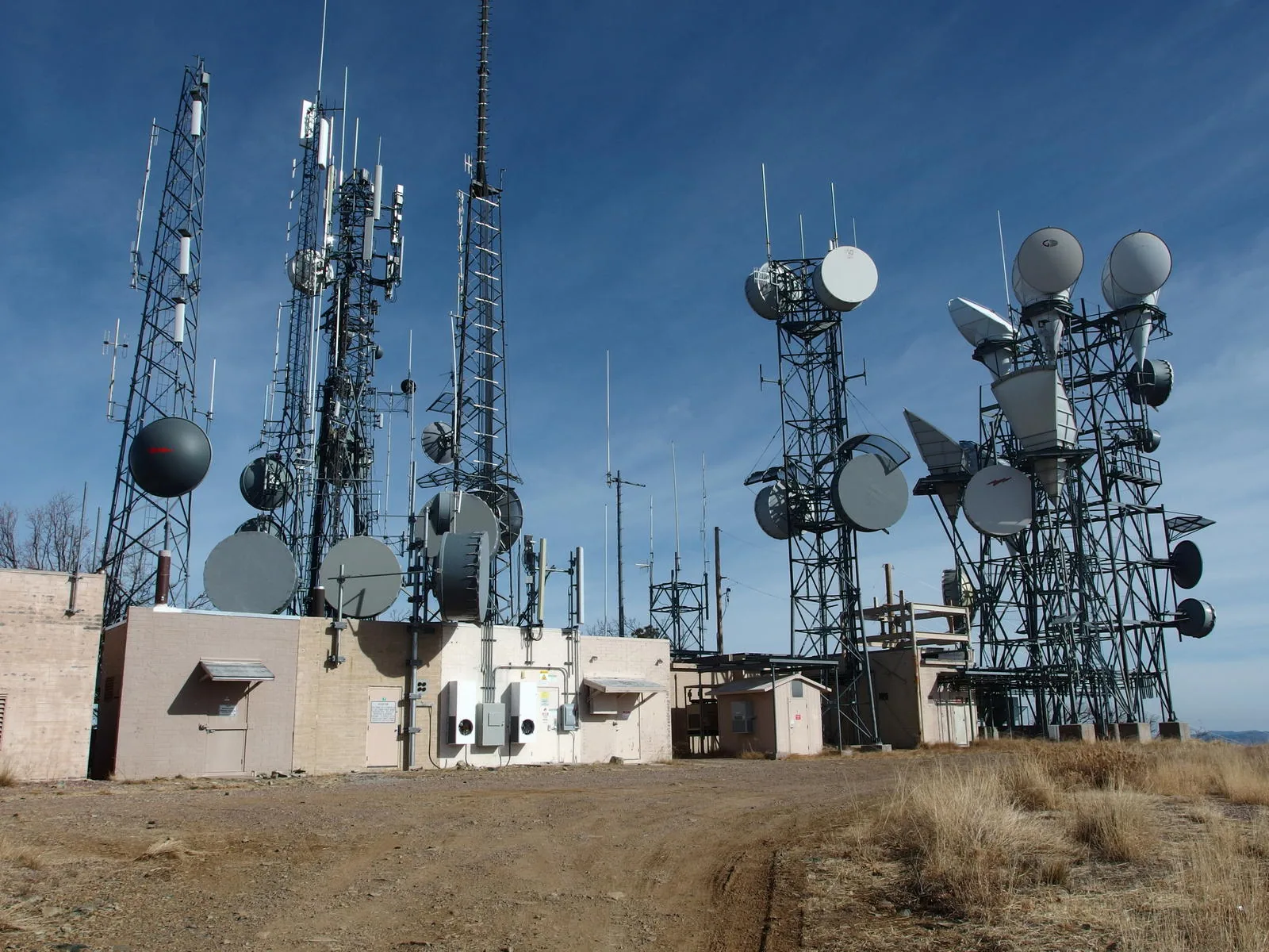
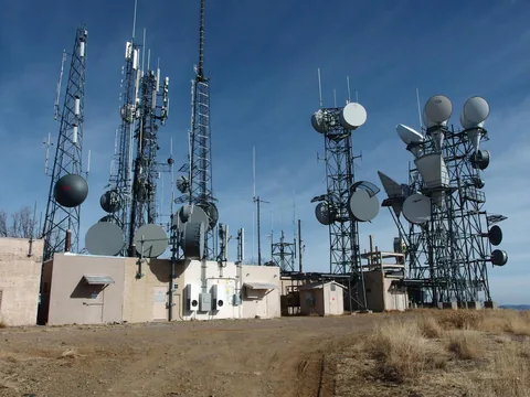 The whining, humming cluster of electronics at the peak
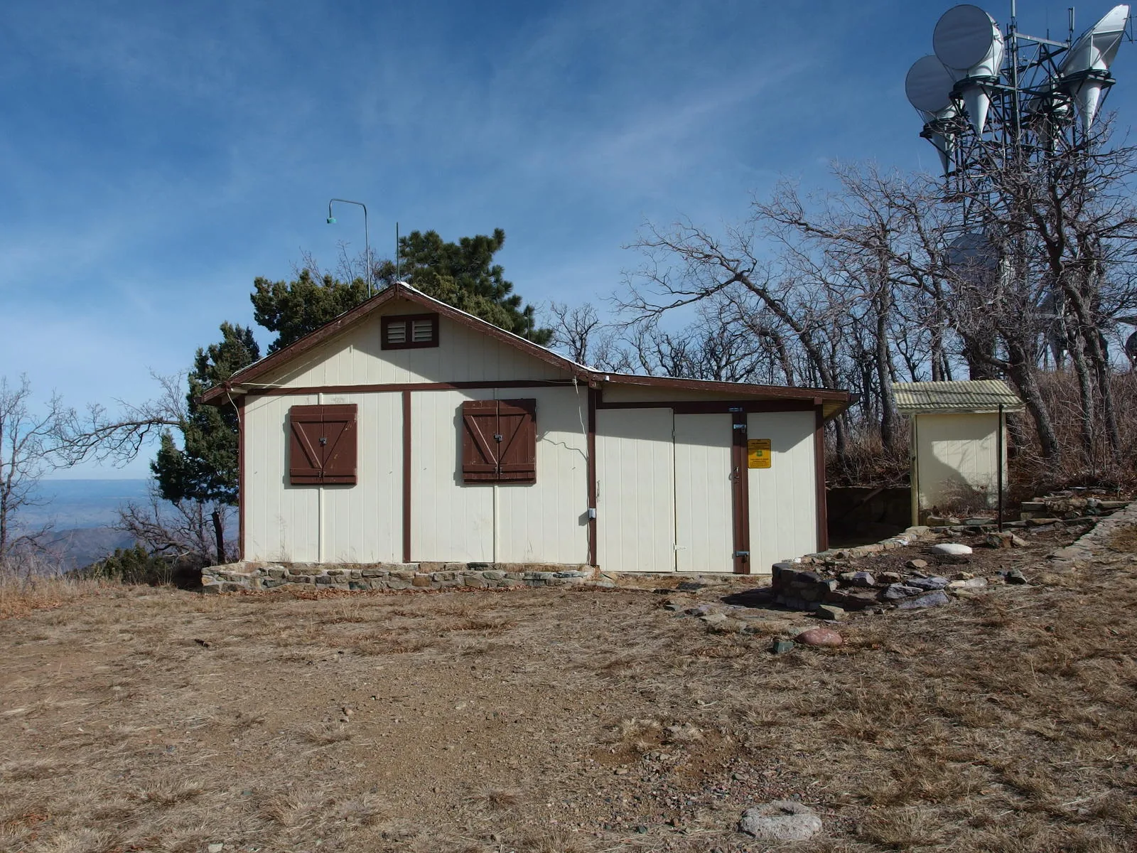
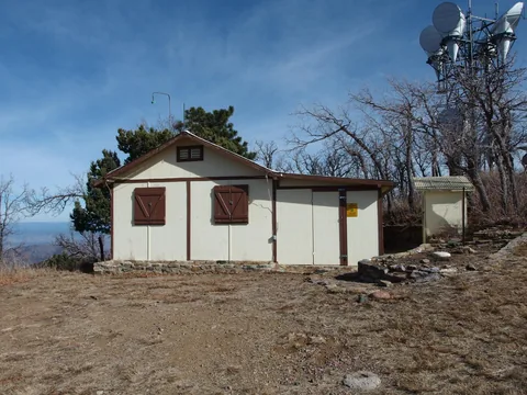 An old service cabin boarded up
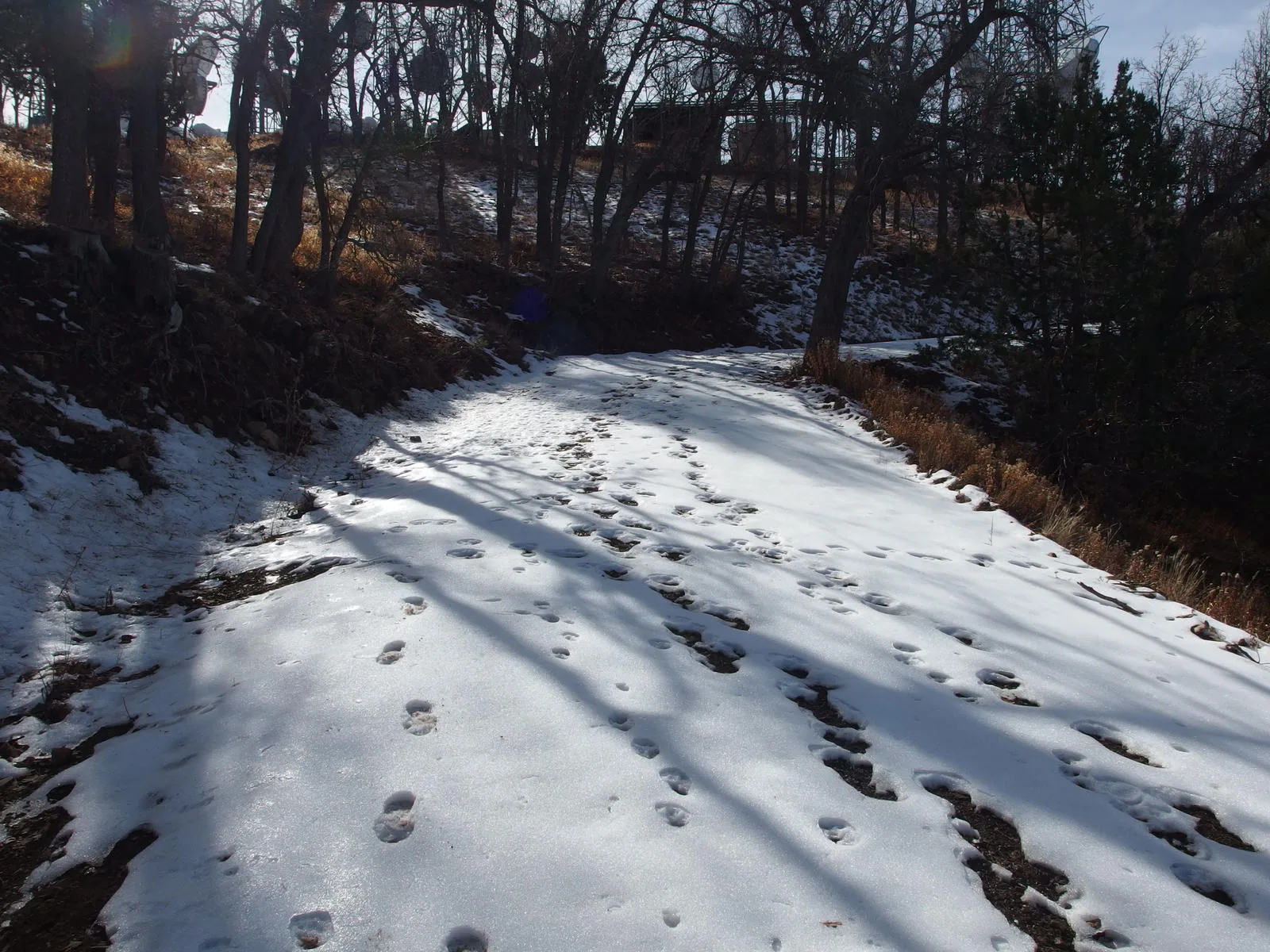
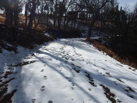 Fresh snow prints on the road
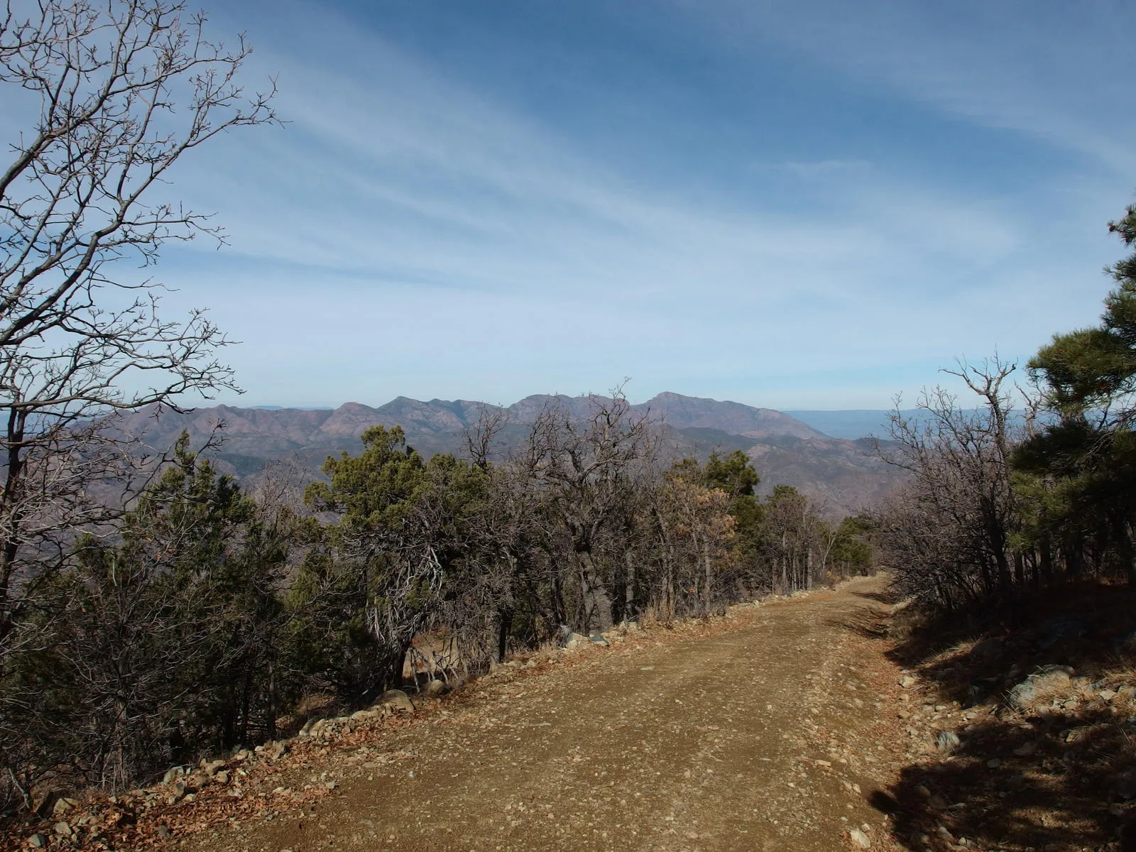
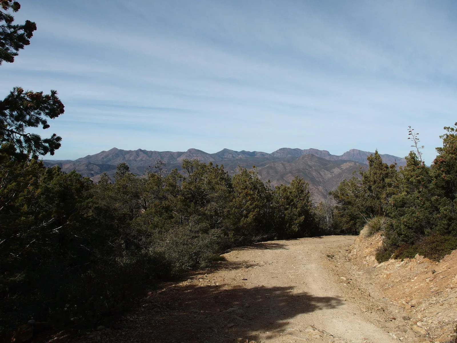
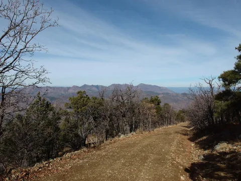 Mazatzal Ridgeline in the north
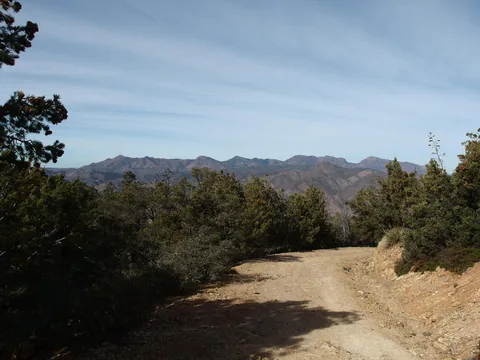 Mazatzal Ridgeline in the distance
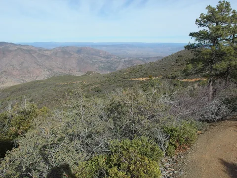 A long descent left to go
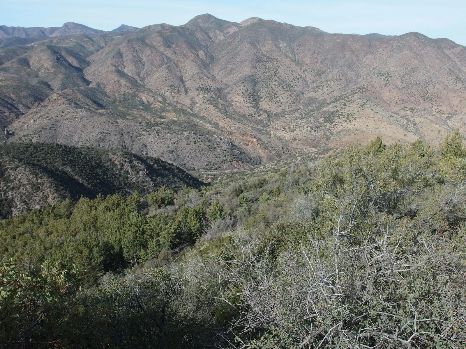
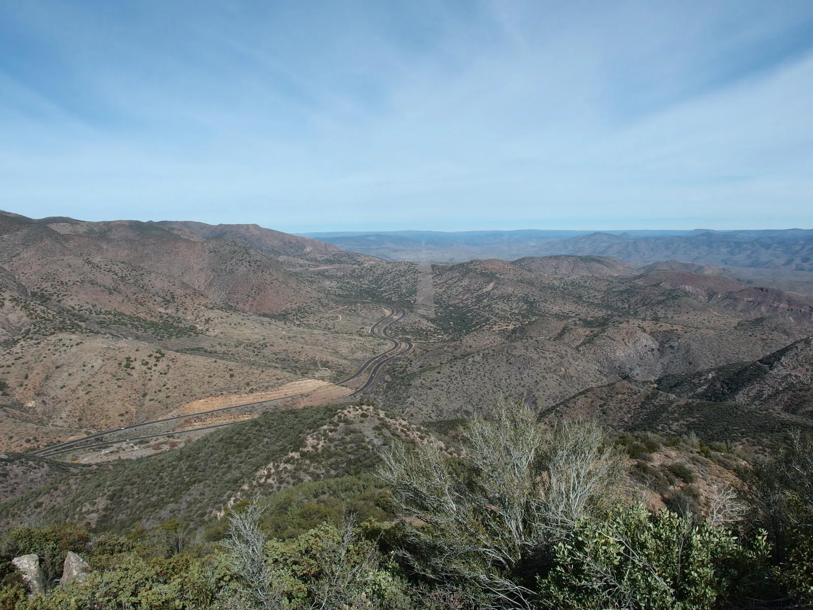
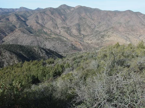 The tiny highway, thousand feet down or so
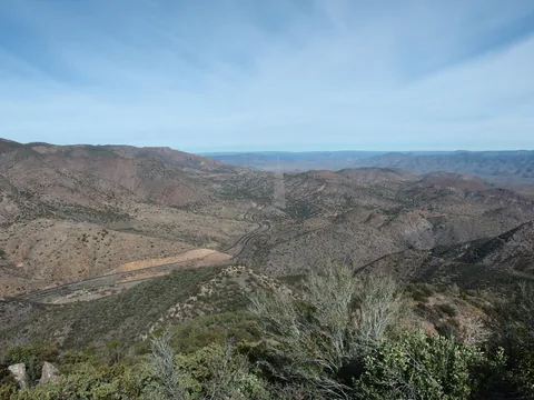 A cleared straight shot for powerlines
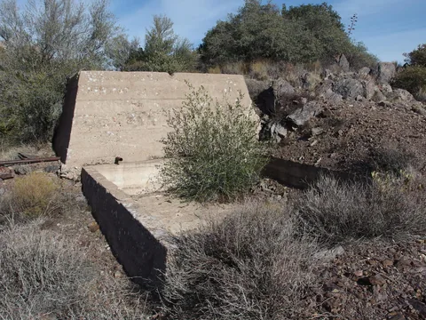 Cement foundations from mining days
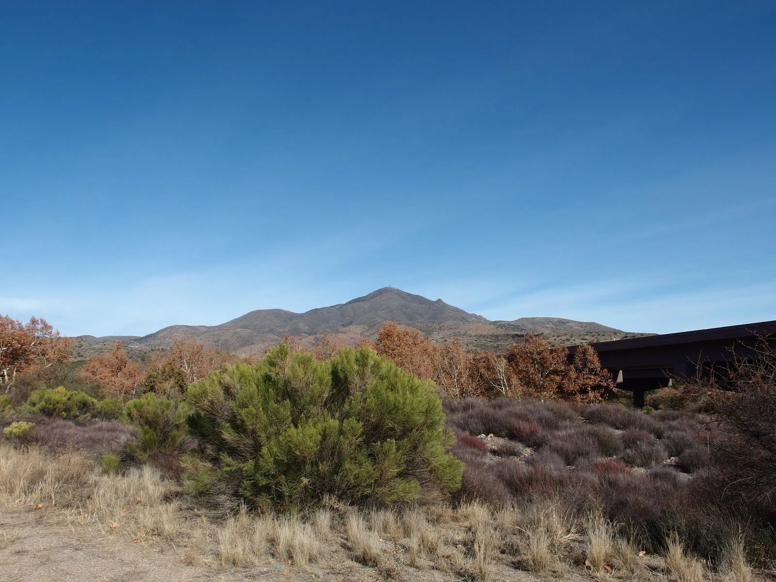
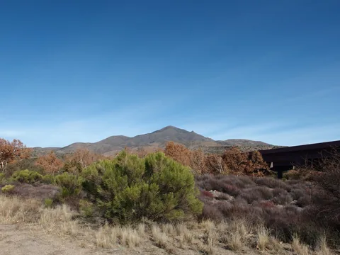 Mount Ord in the distance
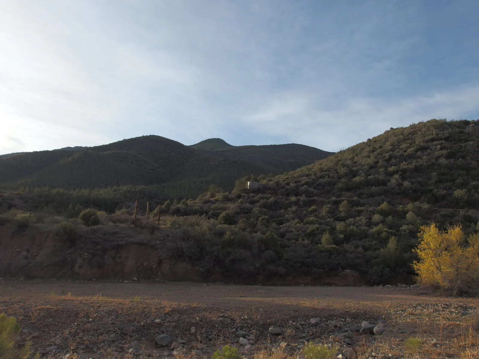
Along the way
Mountain 1
- Mount Ord
Mine 1
- Ord Mine
Trailhead 1
- Slate Creek Trailhead
Junction 1
- FR 27 / FR 626 junction
Gate 1
- Locked gate below the Mount Ord summit