Highwater - Verde River Loop
26.8 mi2,587 ft
3,068 ft
2,185 ft
Using Red Creek to access two remote trails along the Verde River to form a loop. Involves wading across the Verde River at least twice.
Photos
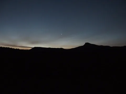 Dim morning light on the horizon
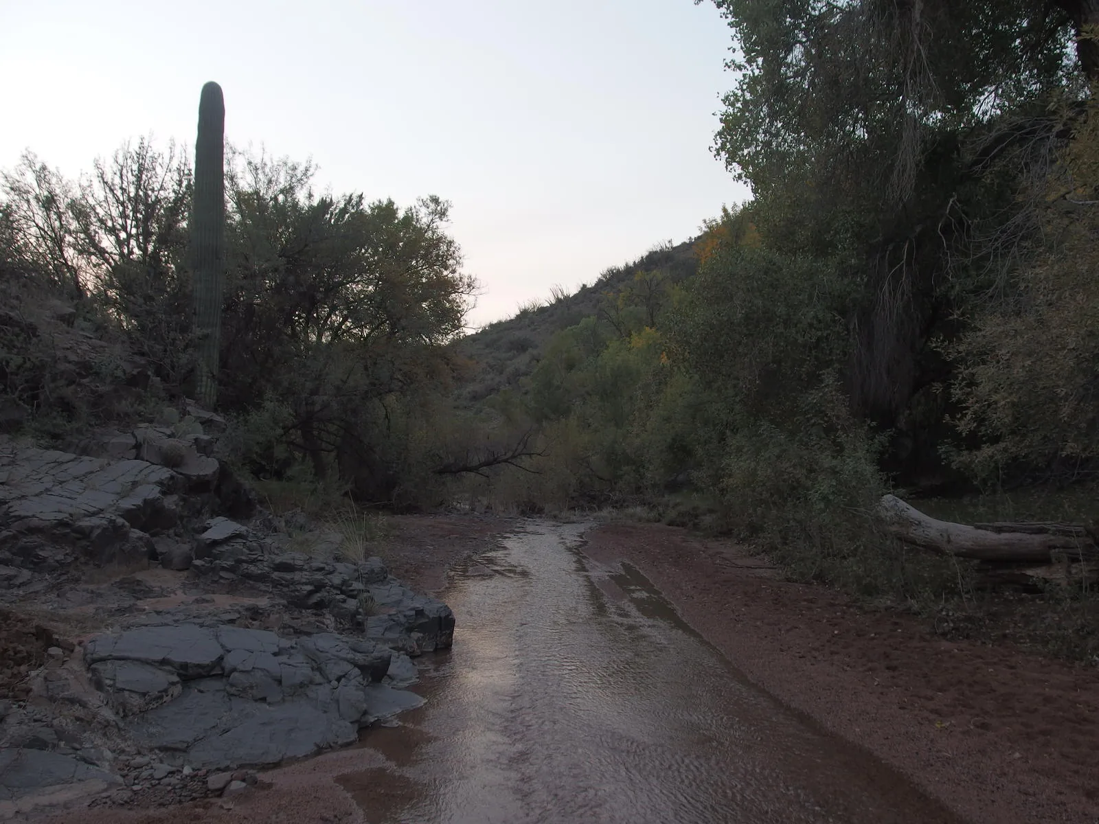
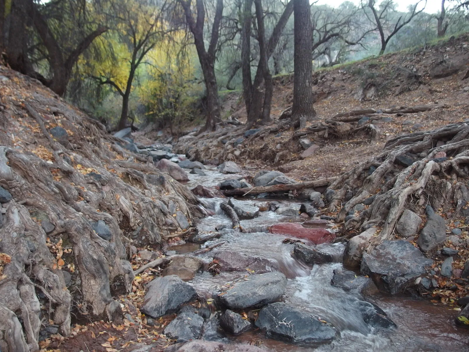
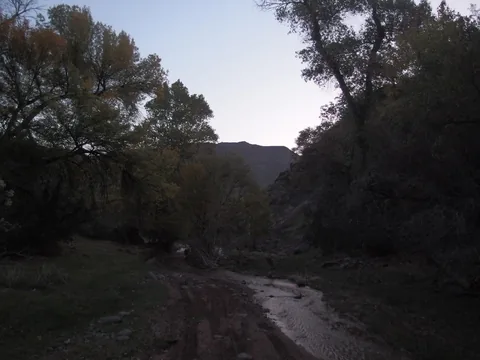 Walking along Red Creek
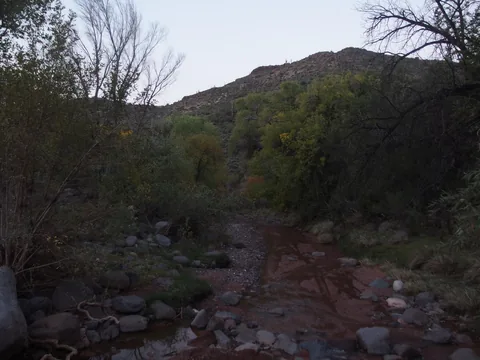 Isolated pockets of color along the creek
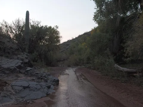 Desert clashing with riparian environment
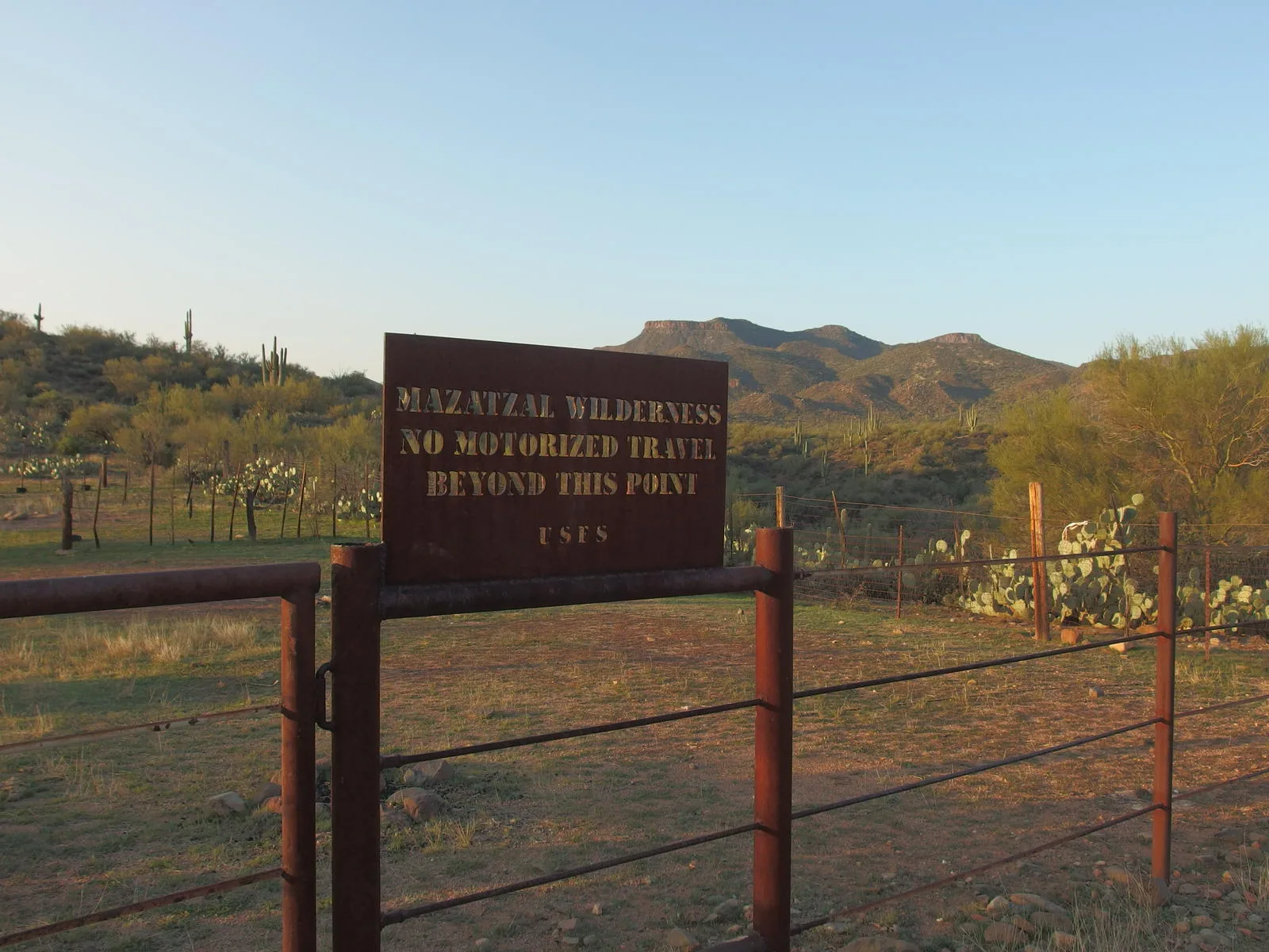
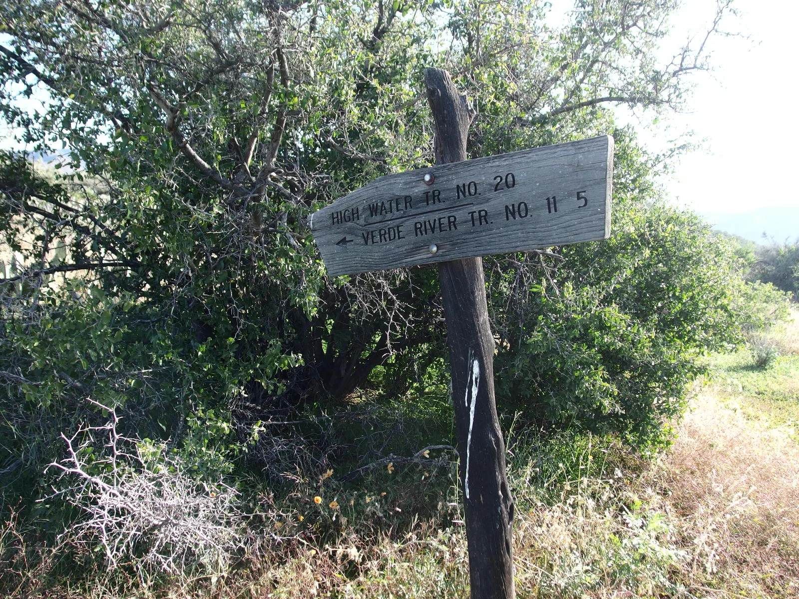
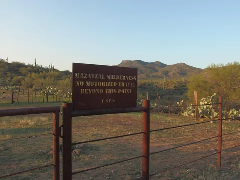 Fantastic sign above the Verde River
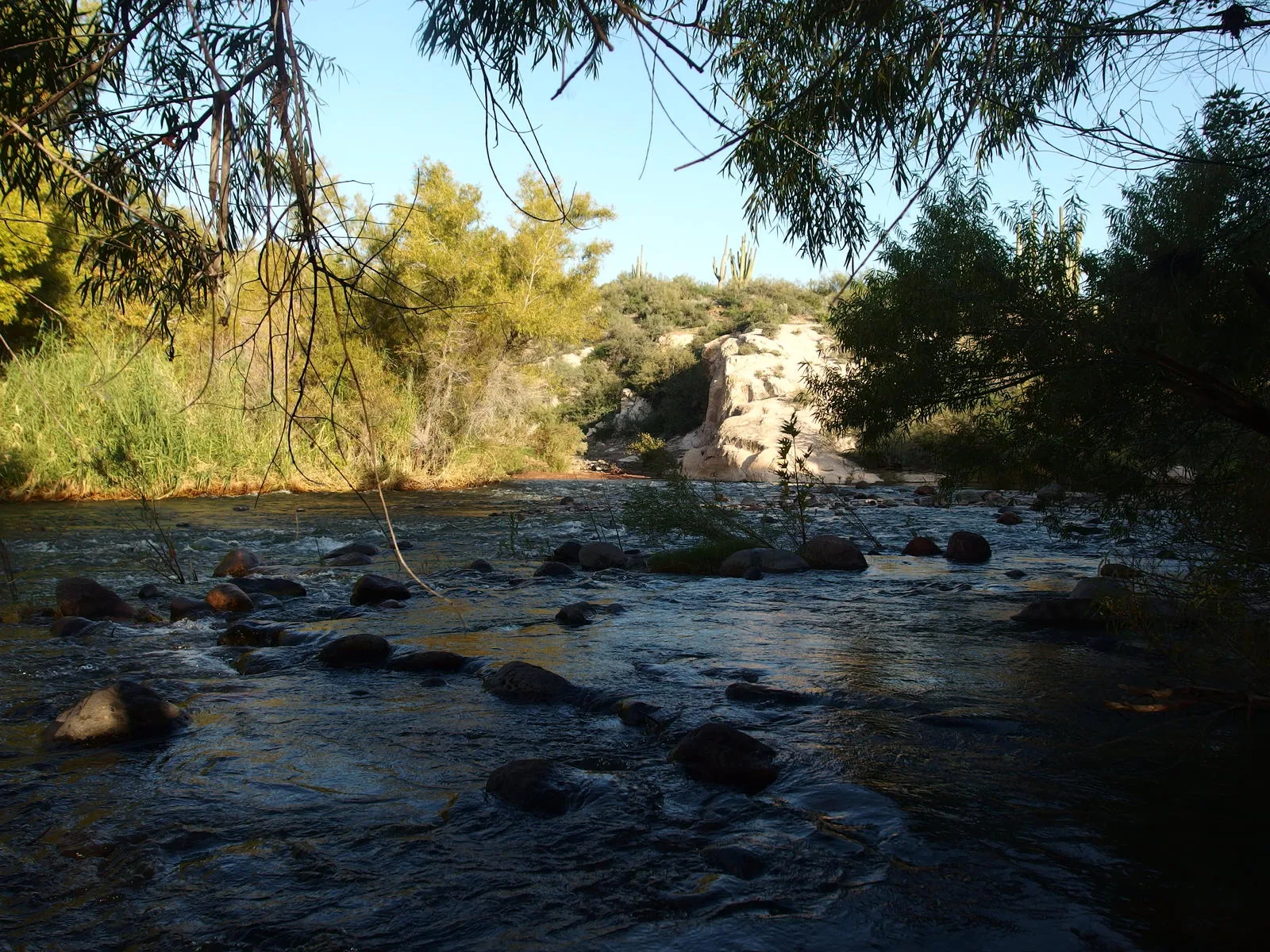
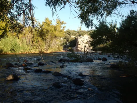 Looking back over Red Creek Rapids
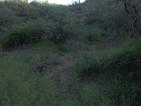 Picking up the Verde River Trail on the east bank
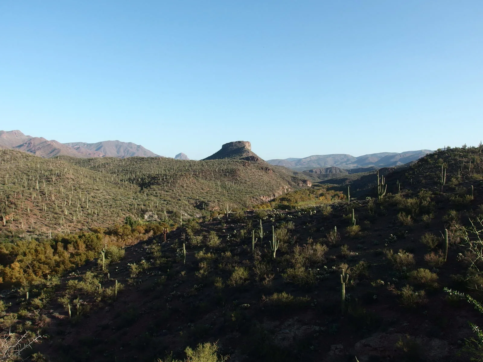
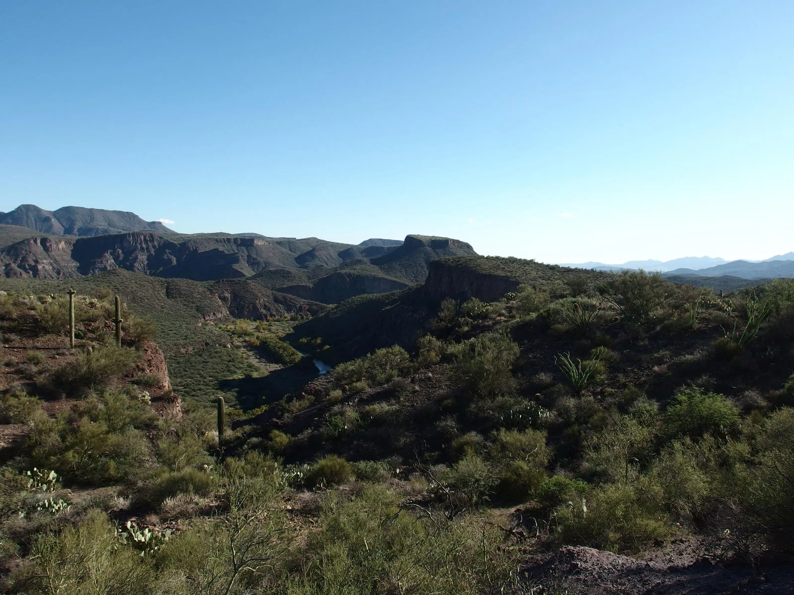
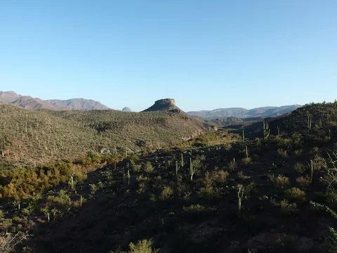 Table Mountain, with Squaw Butte poking out in the distance
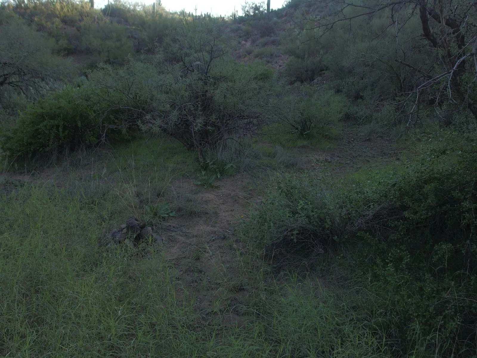
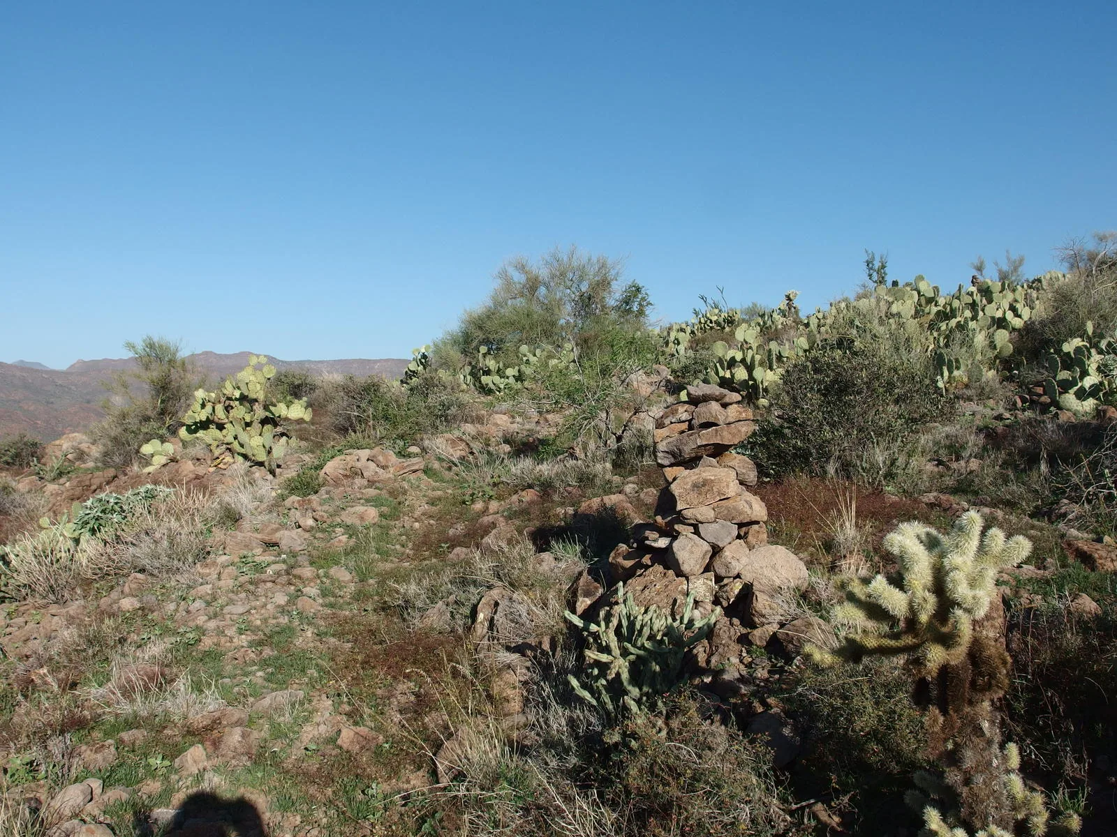
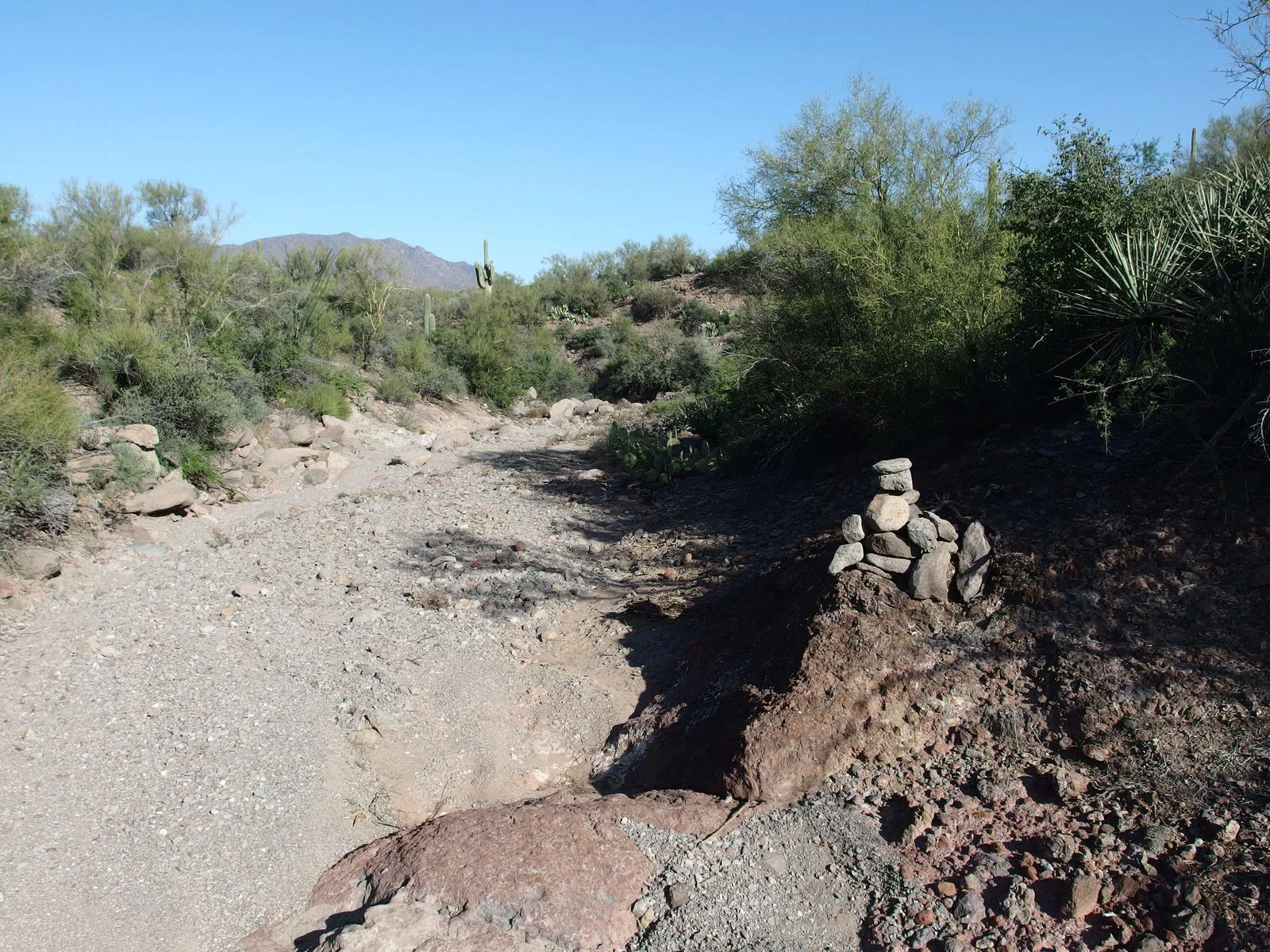
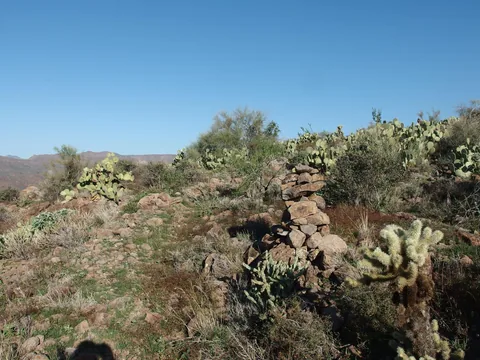 Easy following the trail with these cairns
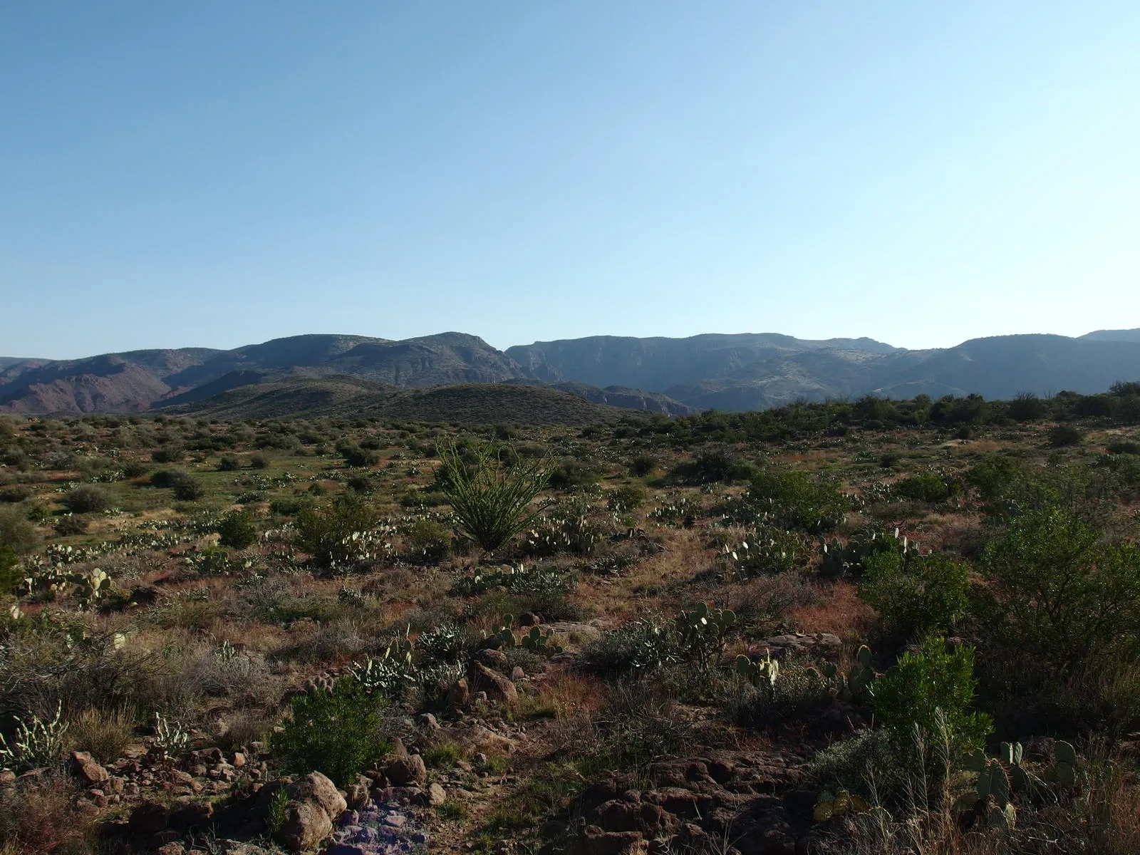
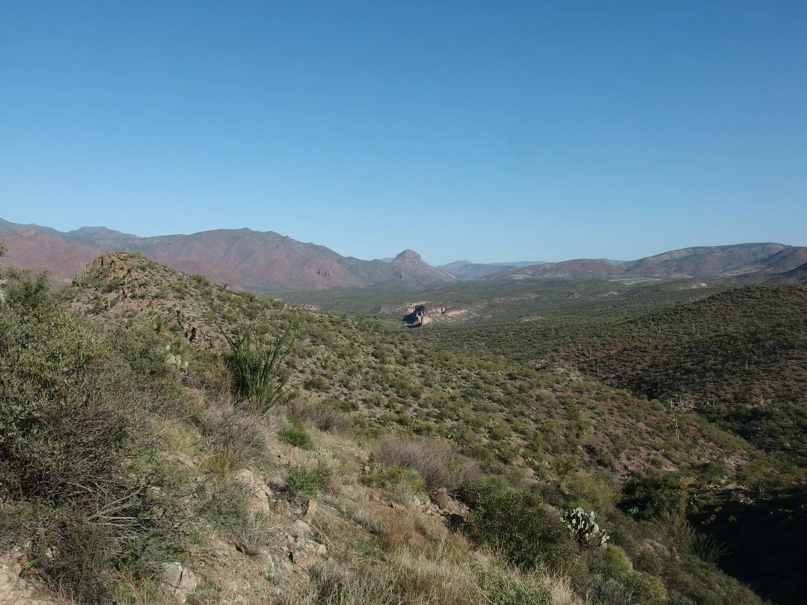
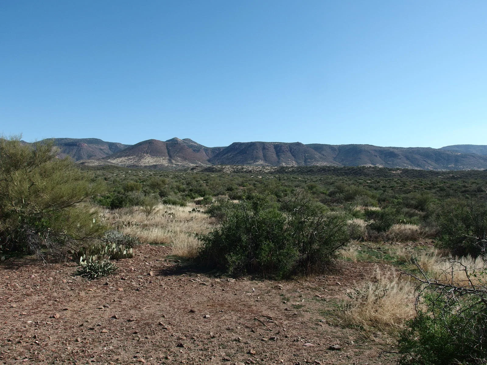
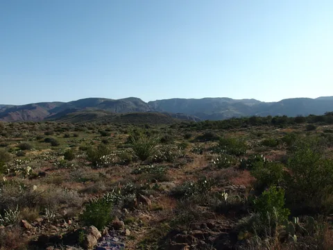 Big views on Wet Bottom Mesa
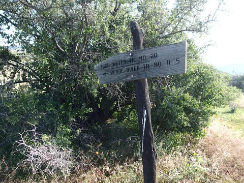 Sign for Highwater Junction
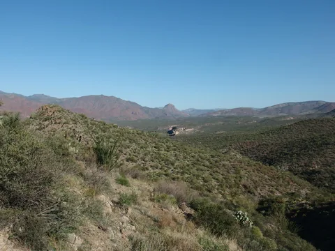 Looking down at the distant white bluffs
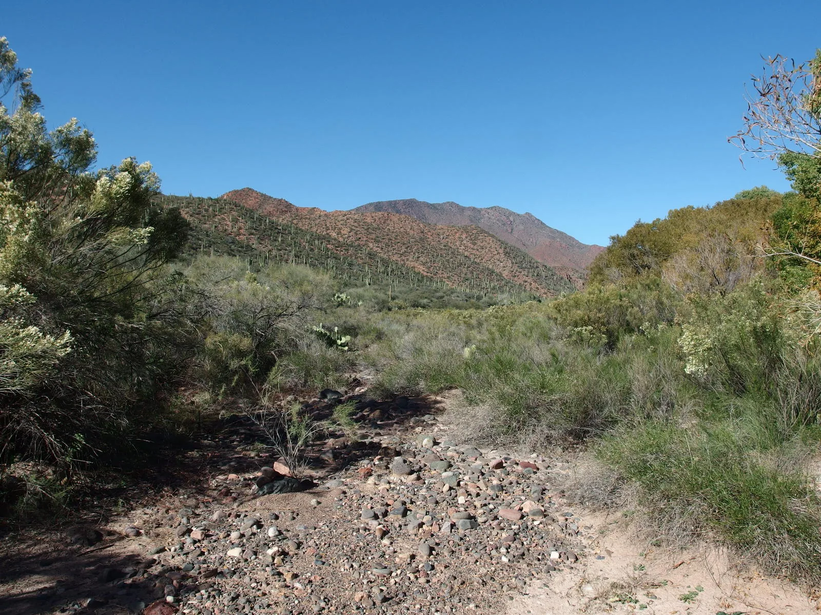
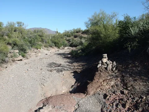 Dry tributary of Canyon Creek
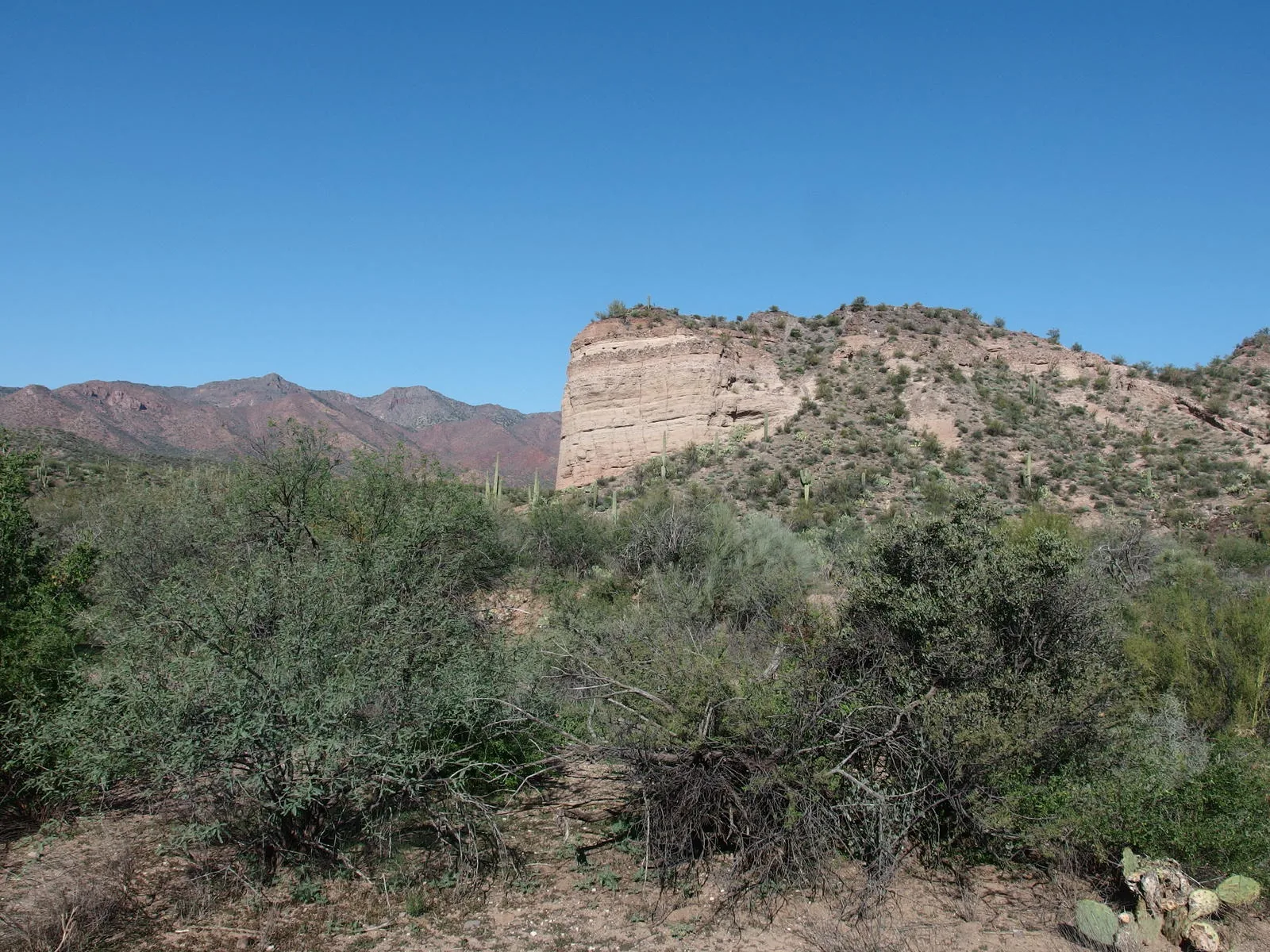
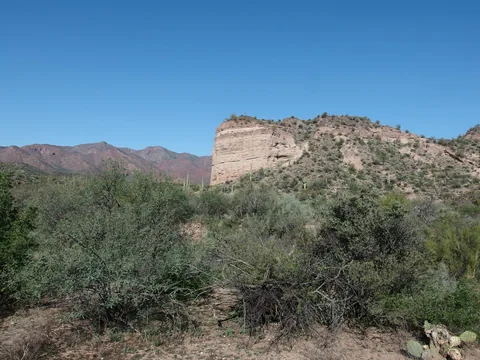 Next to those white bluffs
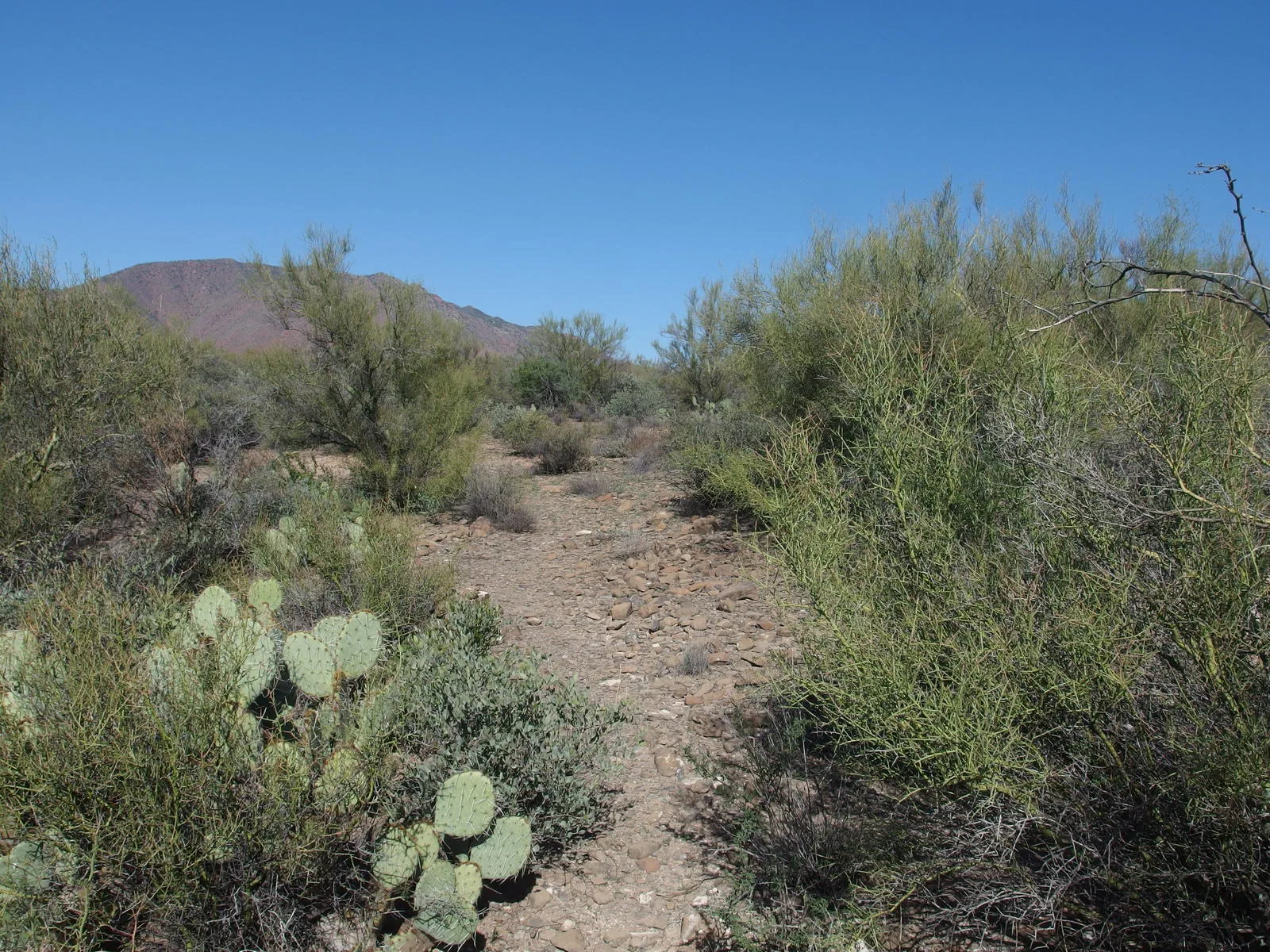
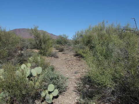 Narrow trail in a lush desert mesa
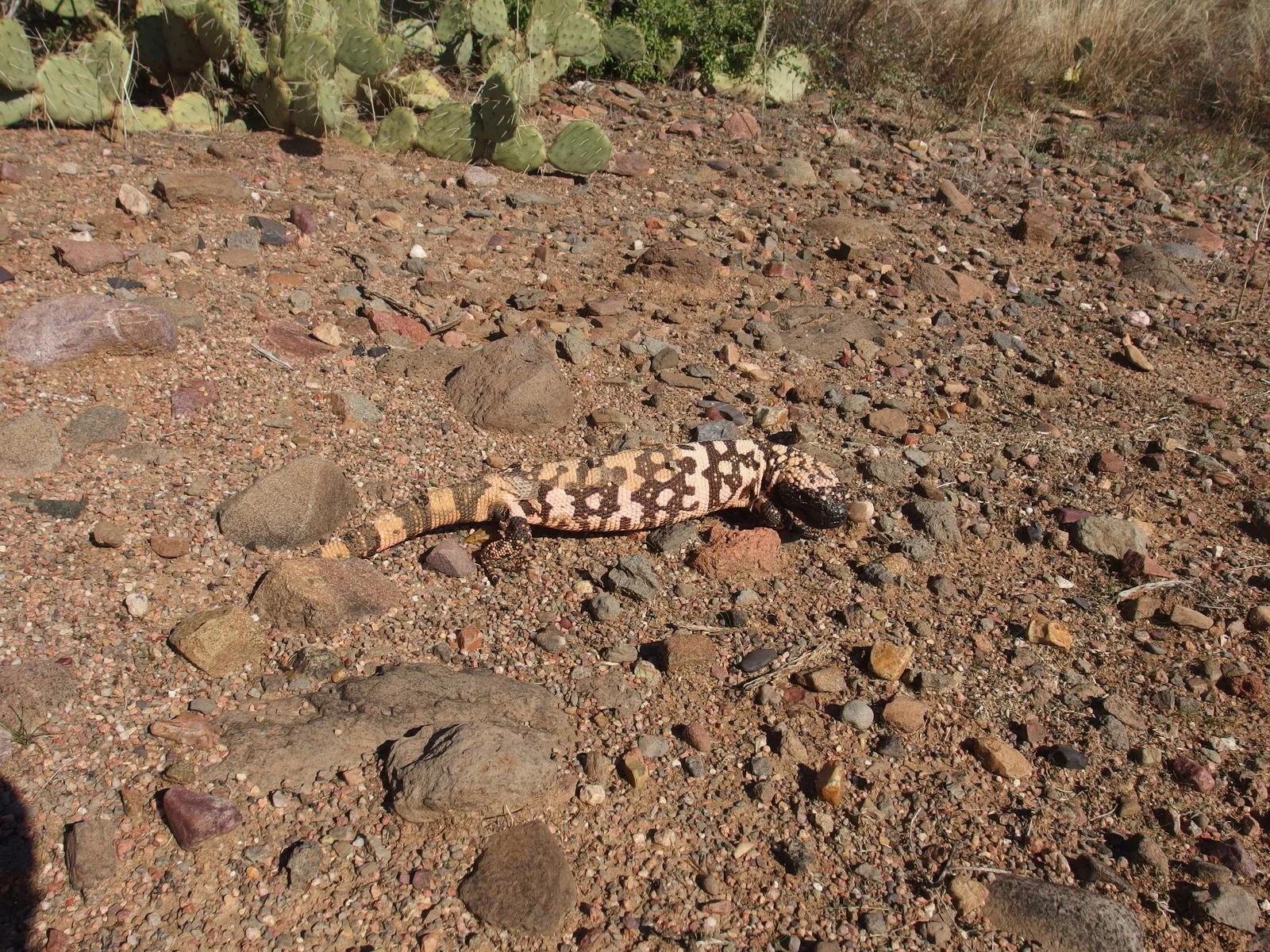
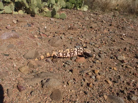 A molting gila monster along the way
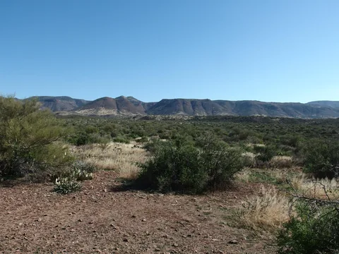 Remote, untrod hills in the east
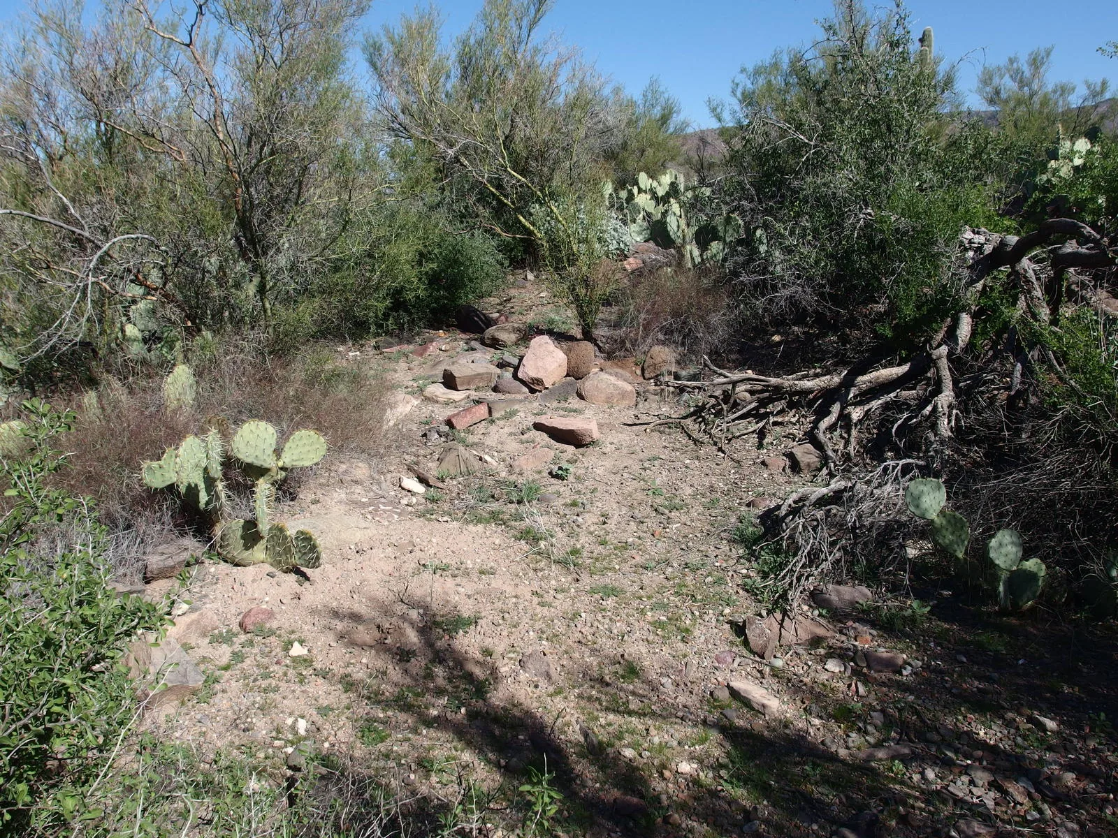
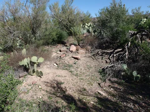 Piecing together an old, forgotten connector
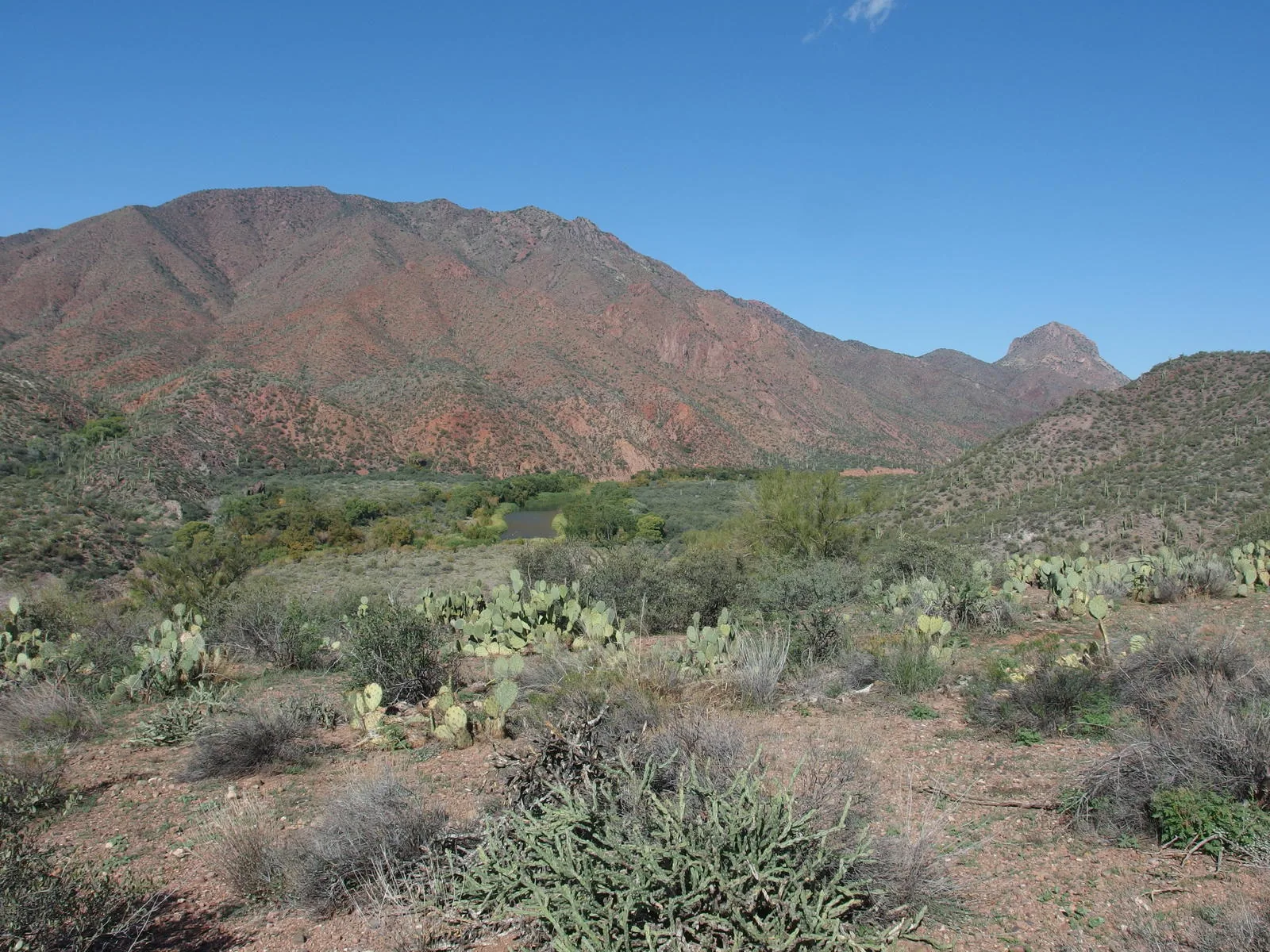
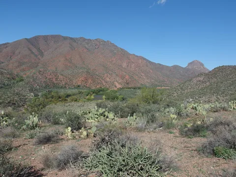 Red hills rising high above the Verde River
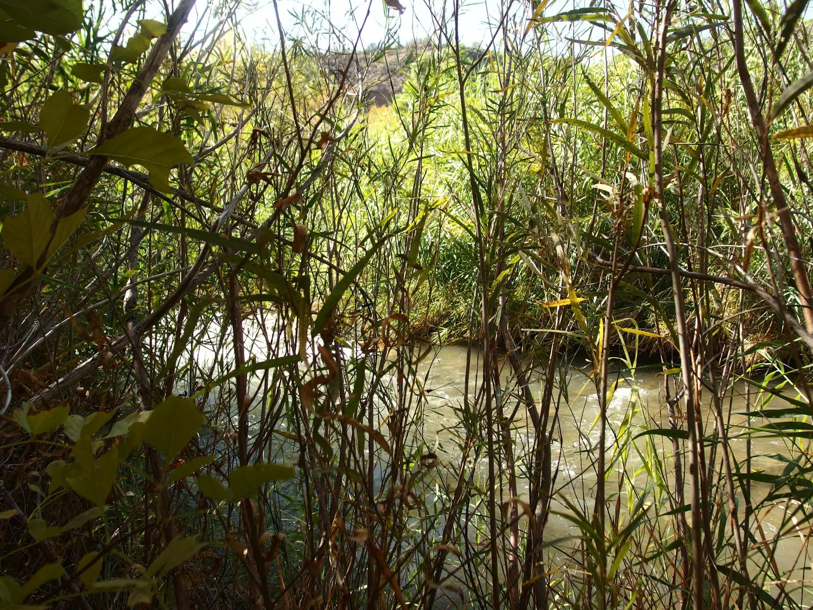
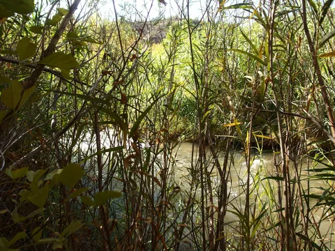 Reeds clustered thick around the river
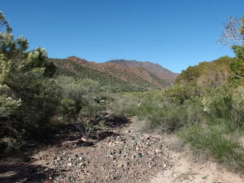 Trying to re-orientate after the crossing
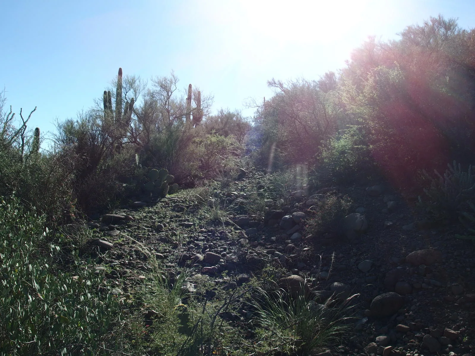
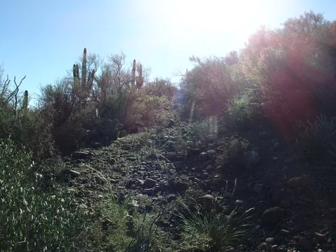 A steep, though well-defined, climb up the other side
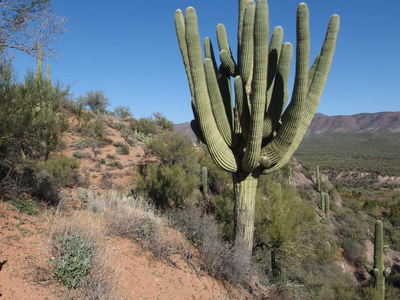
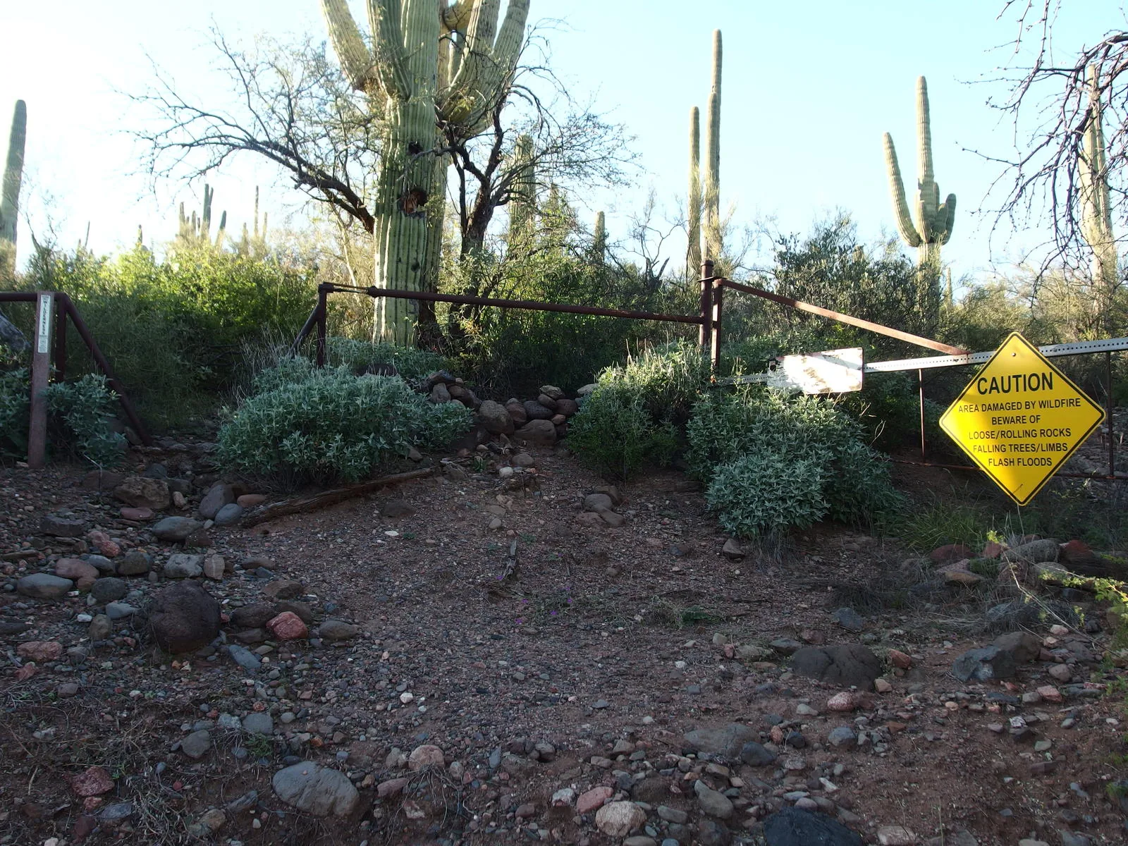
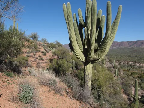 Big saguaro along the trail
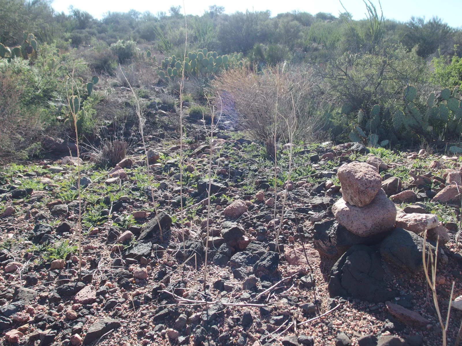
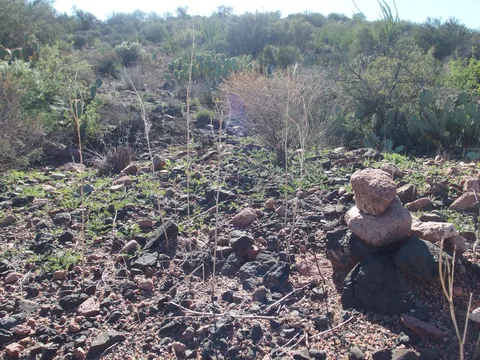 A typical tiny cairn along the trail
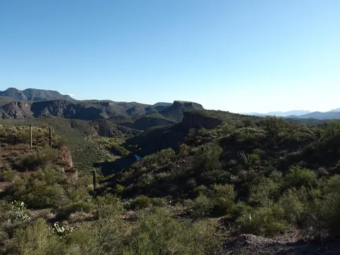 Long shadows on Table Mountain and Wet Bottom Mesa
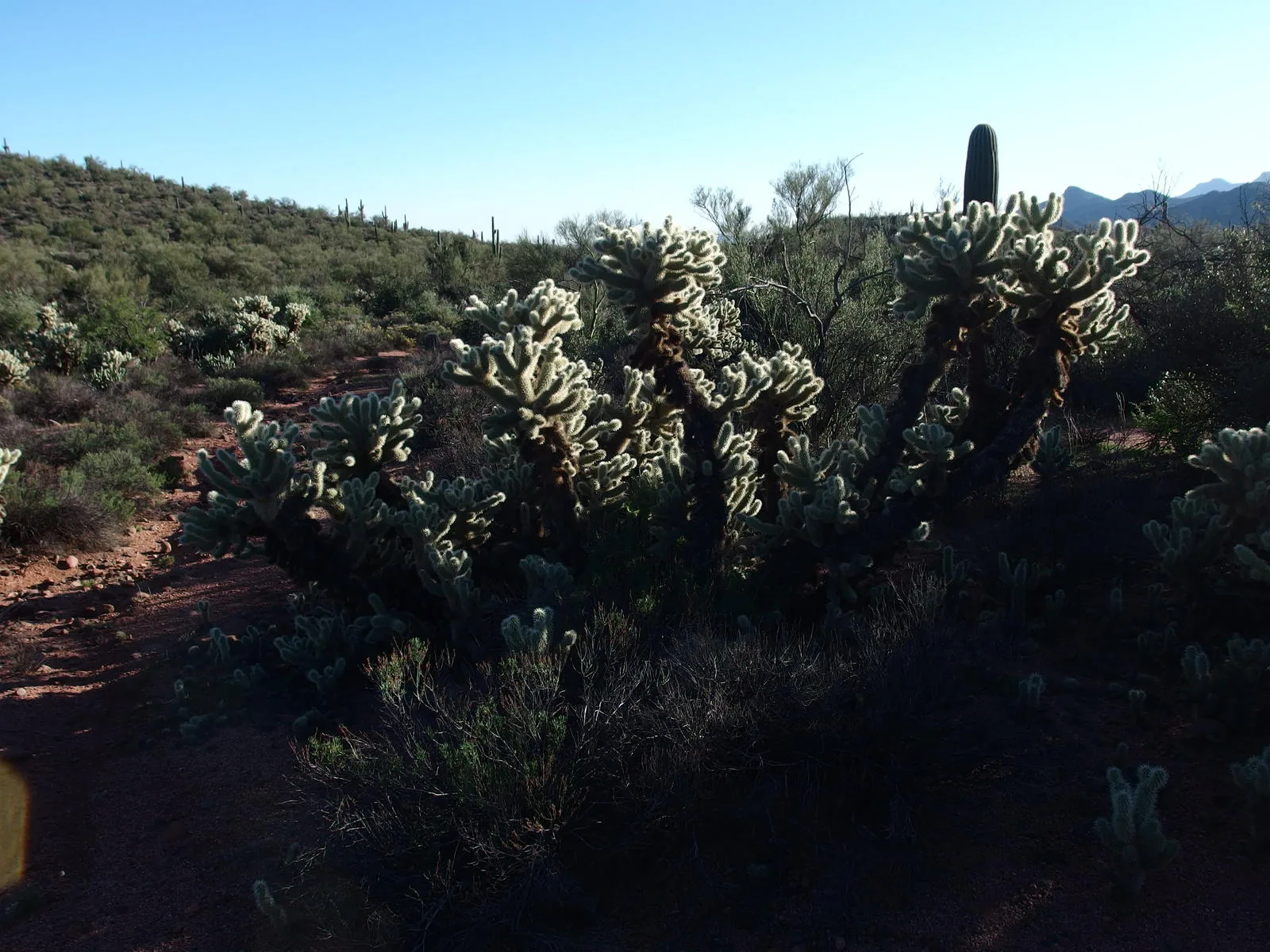
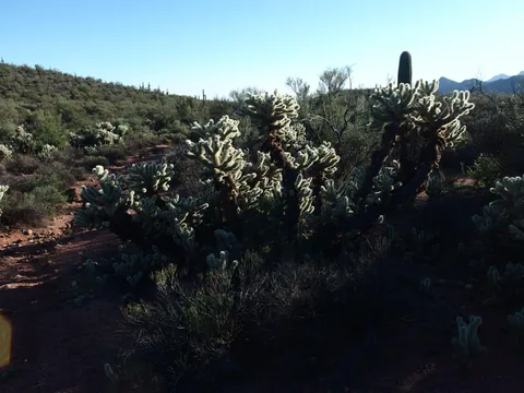 Nightmare cholla
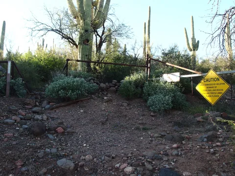 End of the Verde River Trail
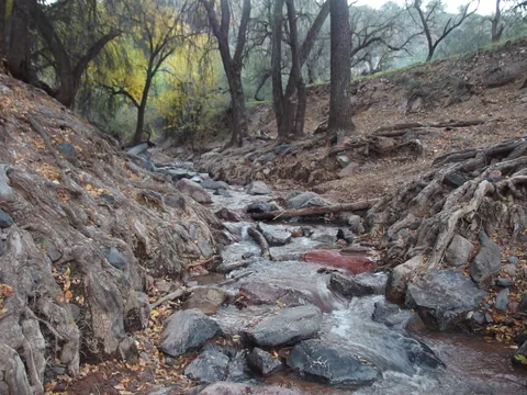 One of many scenic drops along the creek
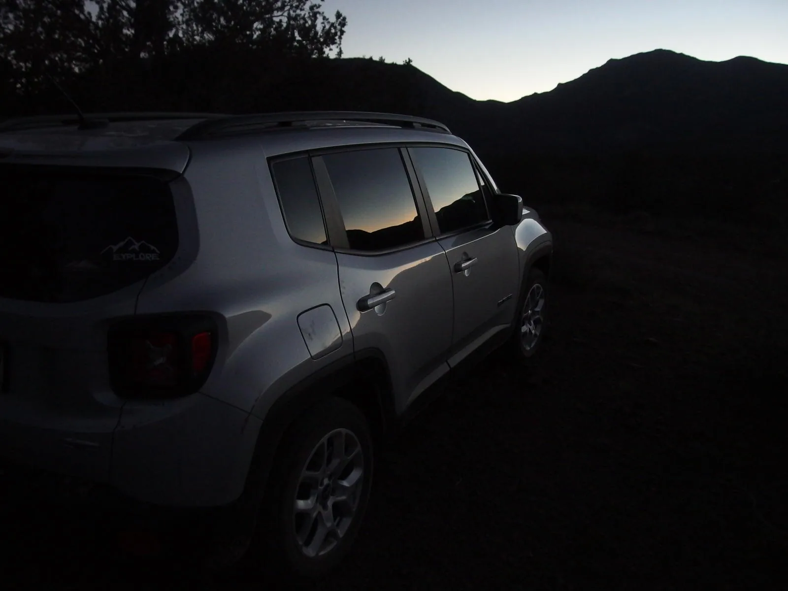
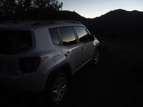 Finally back at the Jeep, missed sunset by half hour
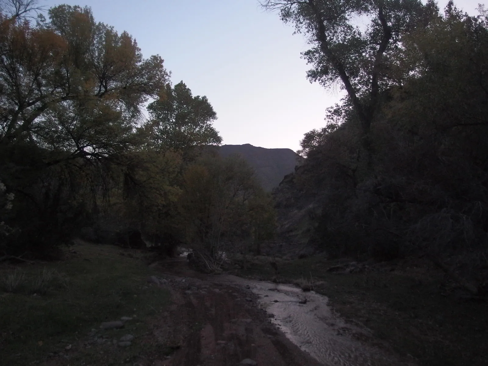
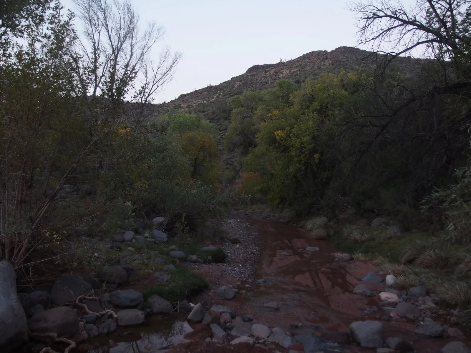
Along the way
Creek 3
- Red Creek
- Red Creek Rapids
- Canyon Creek
Shoreline 1
- Verde River Trail Crossing
Mountain 2
- Wet Bottom Mesa
- White Bluffs
Junction 2
- Highwater / Wet Bottom Trail Junction
- Wet Bottom / Verde River Trail Junction
Gate 2
- Mazatzal Wilderness boundary gate
- Gate on Verde River Trail