Deer Creek Figure 8
31.1 mi6,168 ft
7,142 ft
3,215 ft
Creative loop on Deer Creek and Gold Ridge, with an extension to the west on the Mazatzal Divide Trail and a hard descent on an overgrown creek.
Photos
 Early morning light along Deer Creek Trail
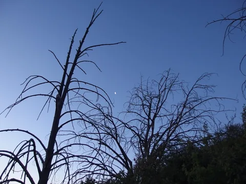 Tiny moon hanging high in the sky
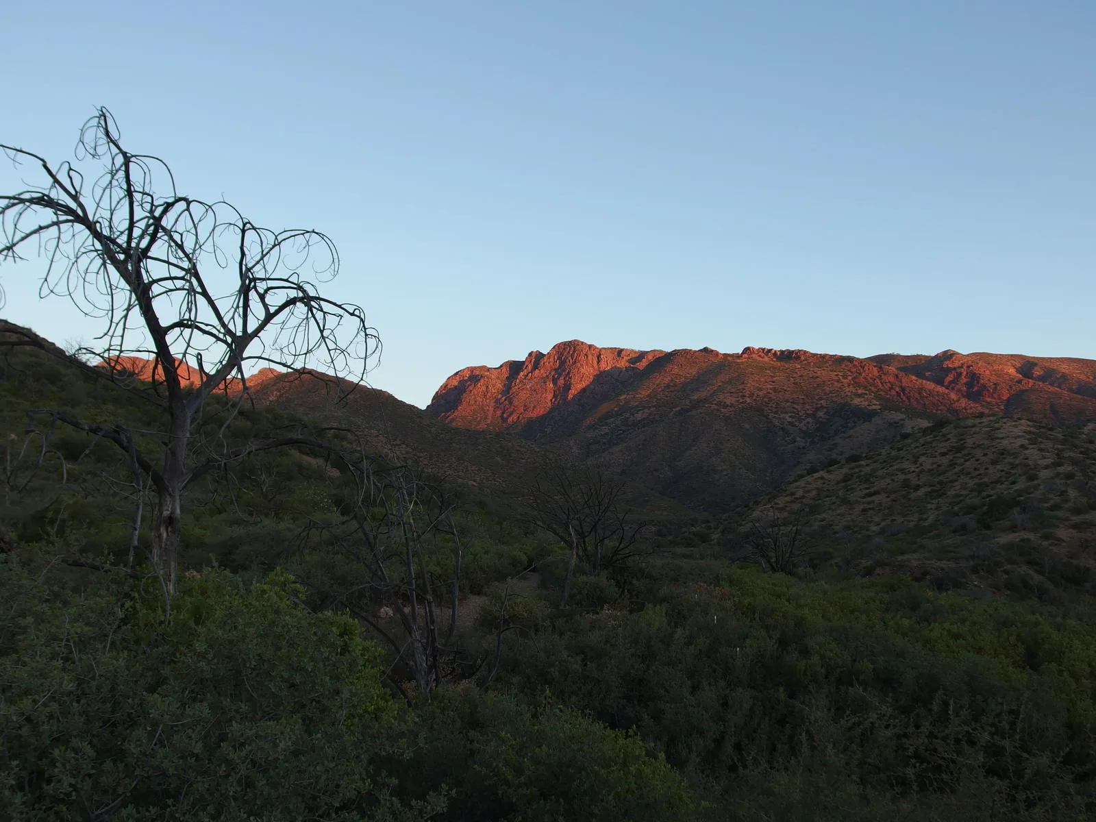
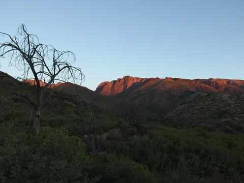 First light on the rugged Mazatzal mountains
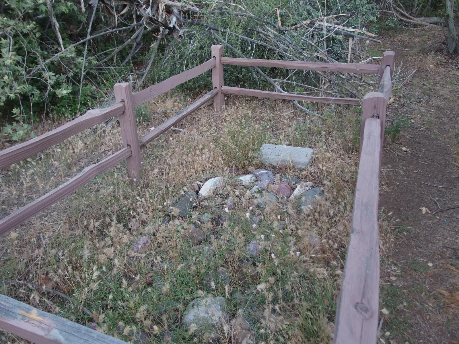
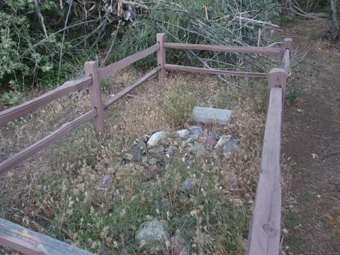 David Gowan's grave site
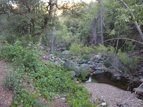 First look into Deer Creek
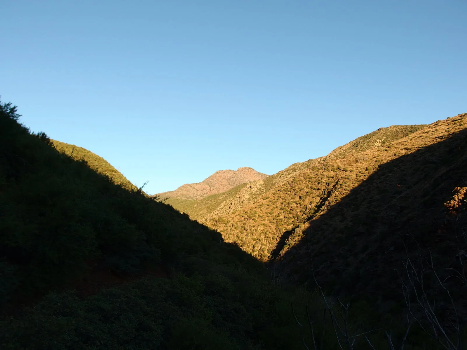
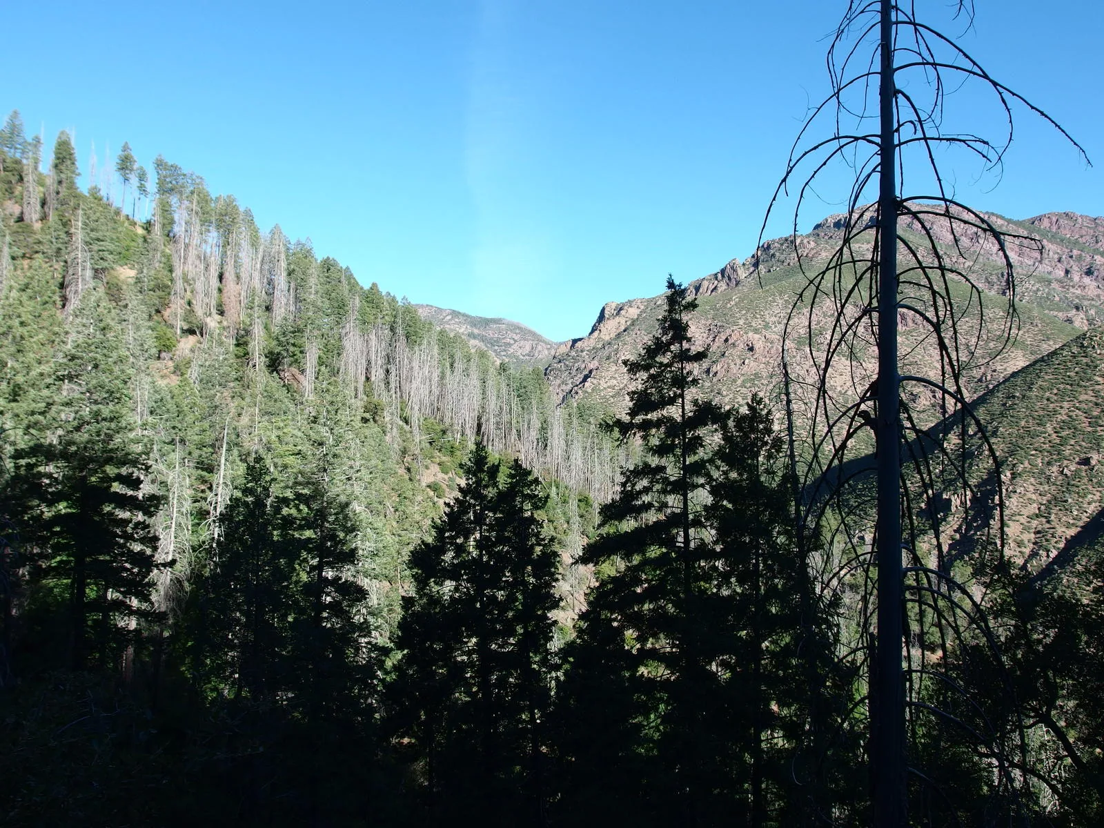
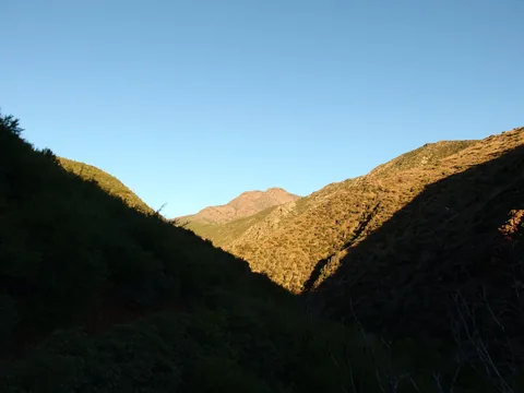 A long view up Deer Creek
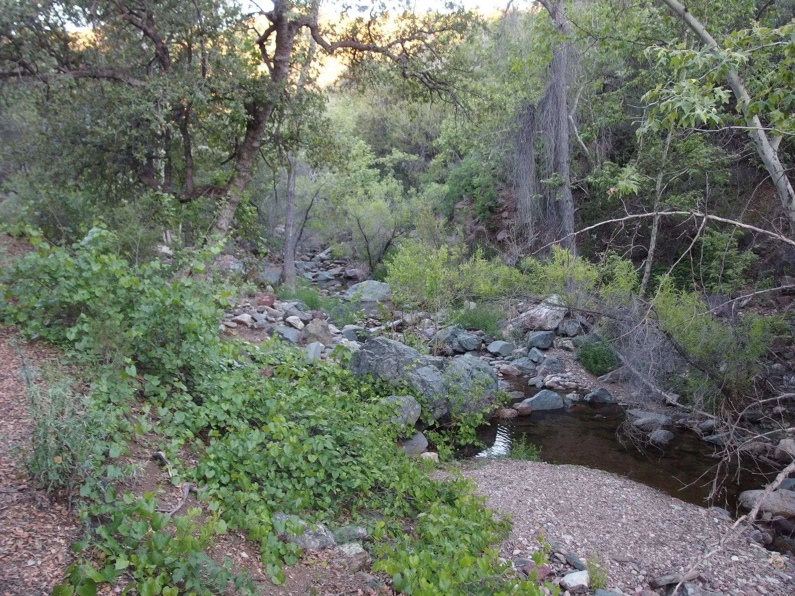
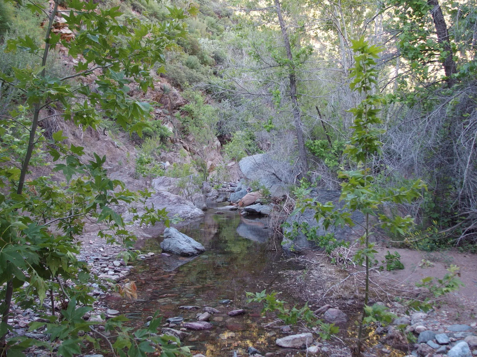
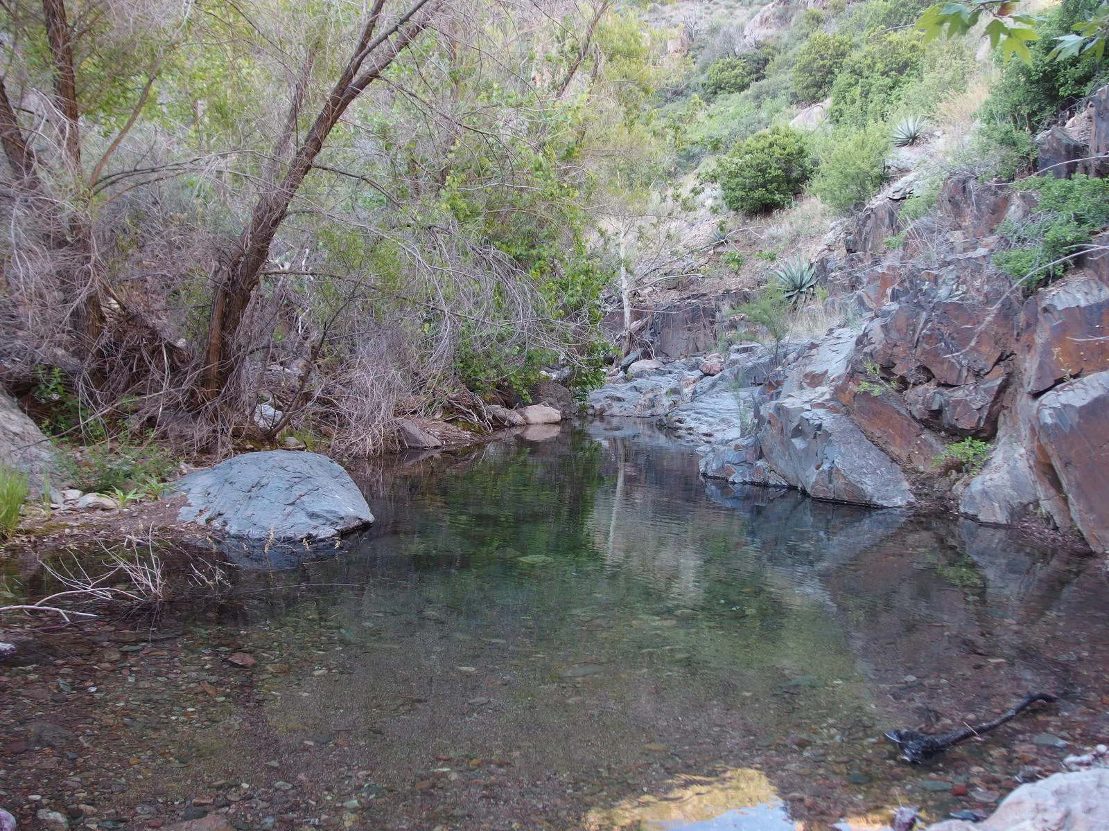
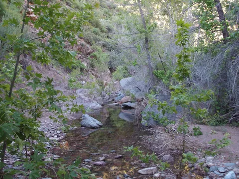 Scenic pools along Deer Creek
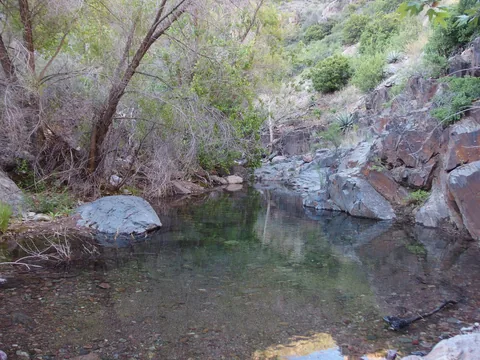 Potential swimming hole in the creek
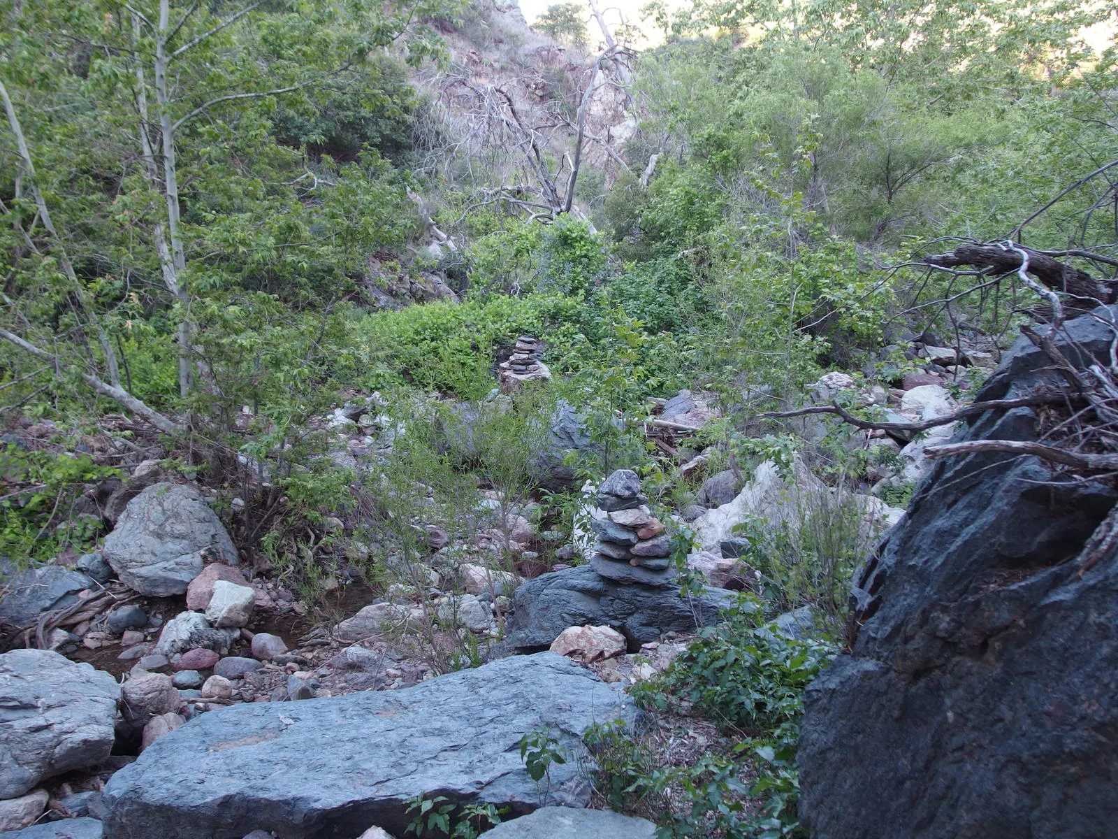
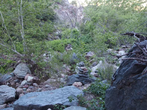 A cairn-marked crossing to... ivy?
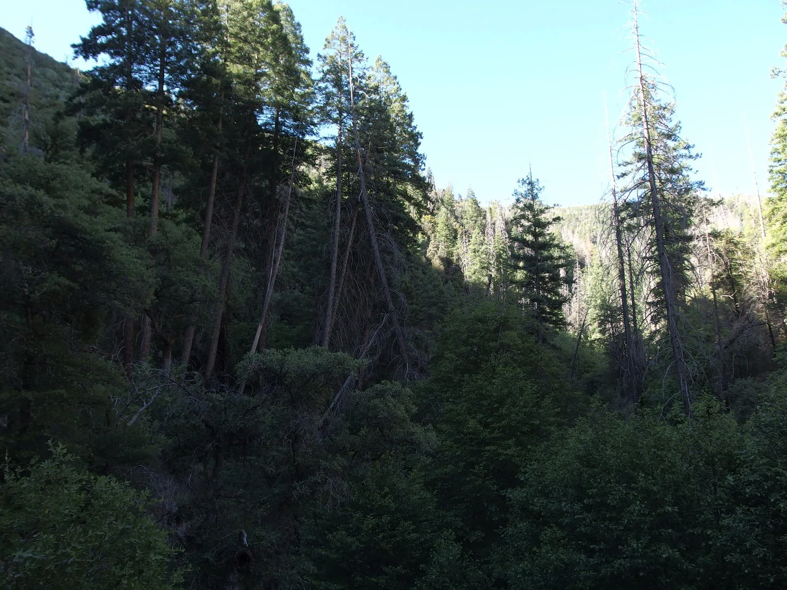
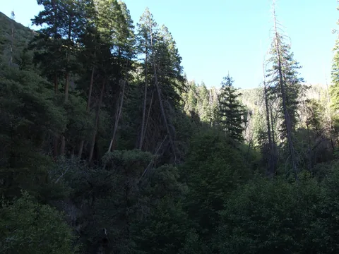 A rare stand of pines along the creek
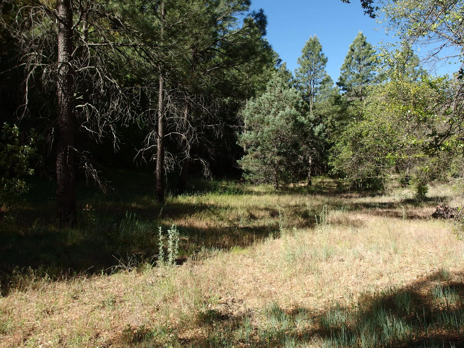
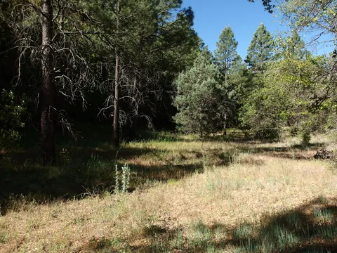 Flat grassland at Gowan Camp
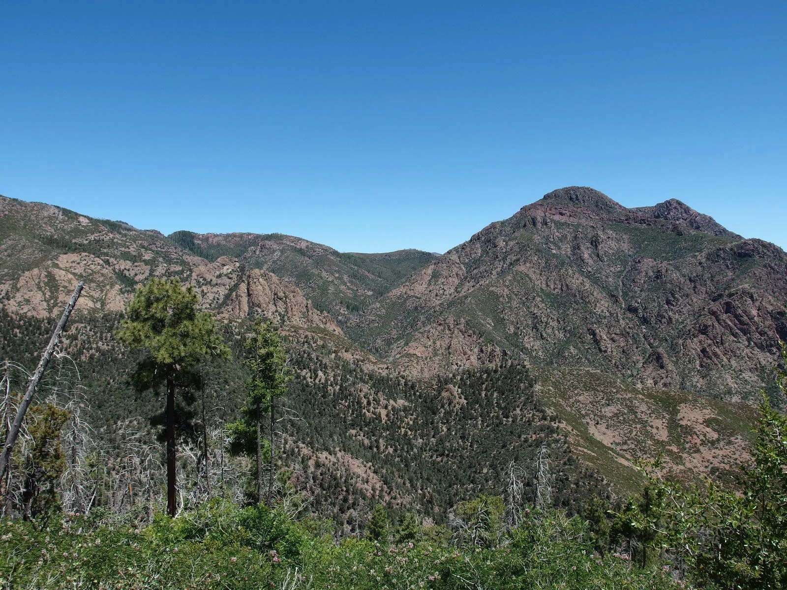
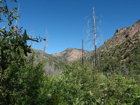 Mount Peeley above the creek
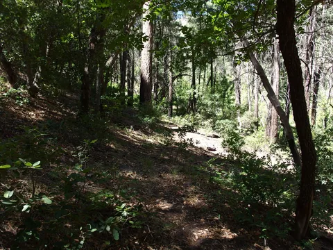 Pleasant section of trail near Maple Draw
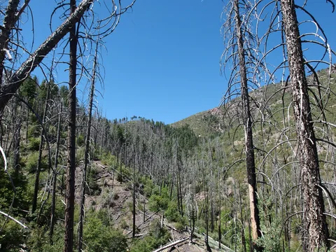 One last haul up an exposed hillside
 Wide trail leading towards Peeley
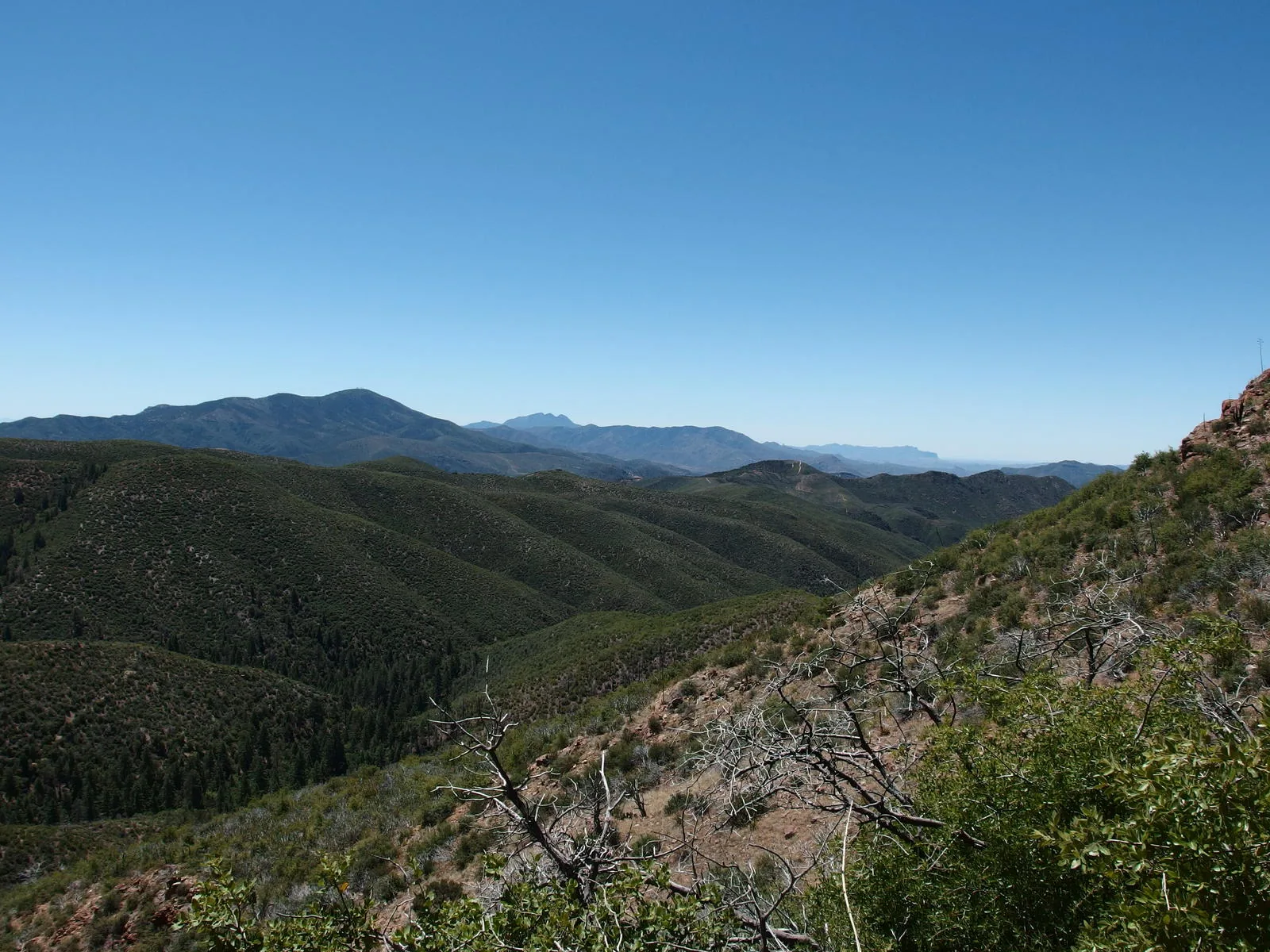
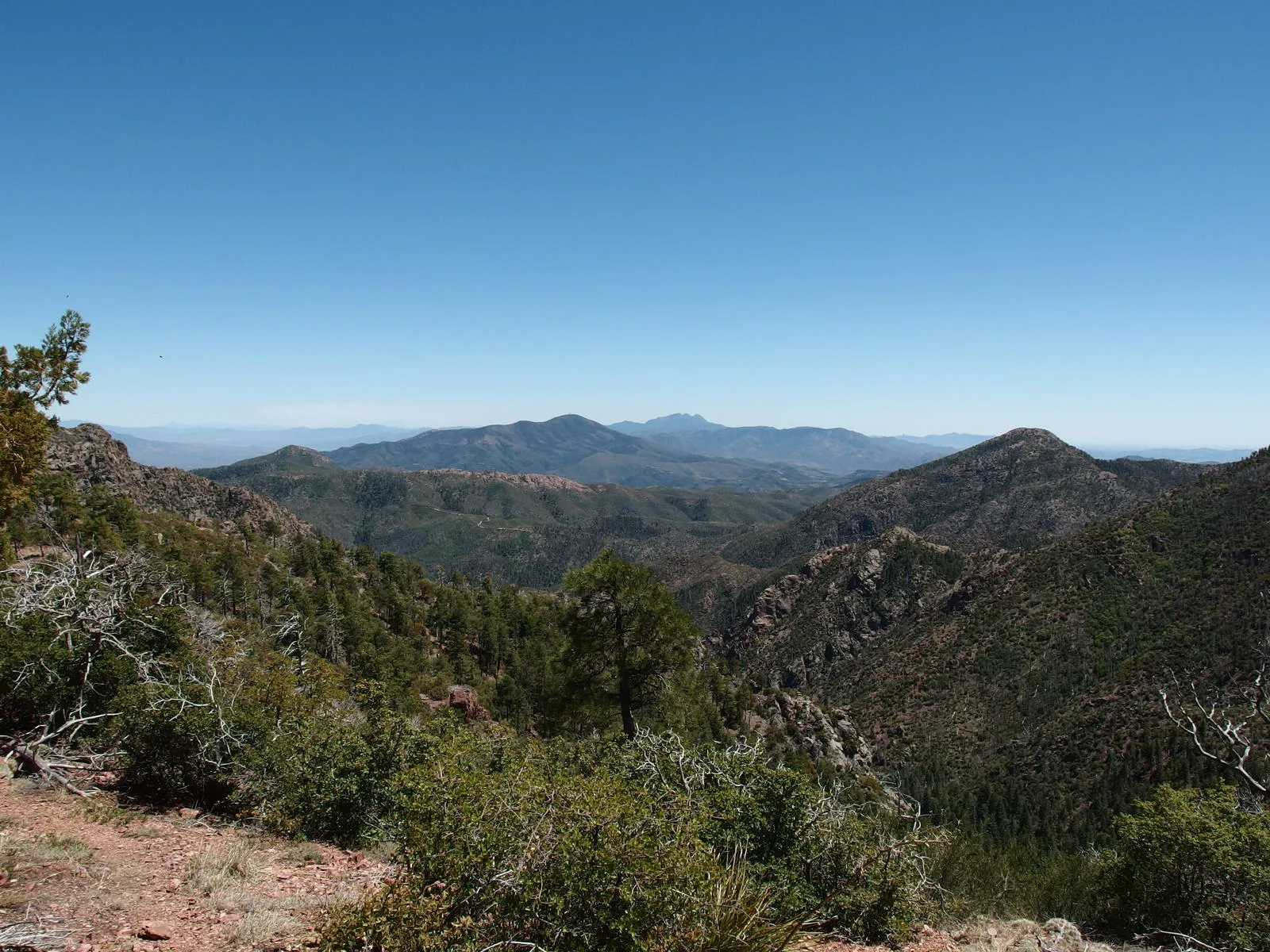
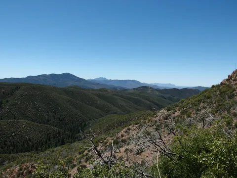 Southern view of Mt Ord, Four Peaks, and the Supes
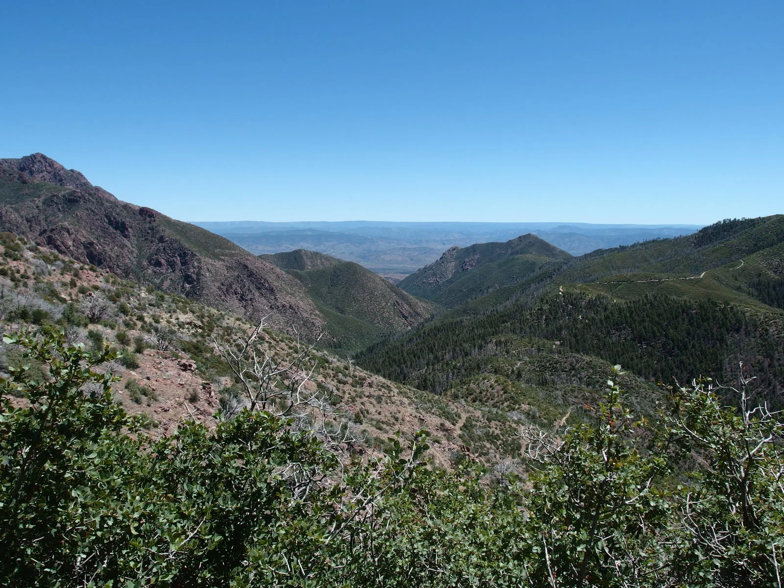
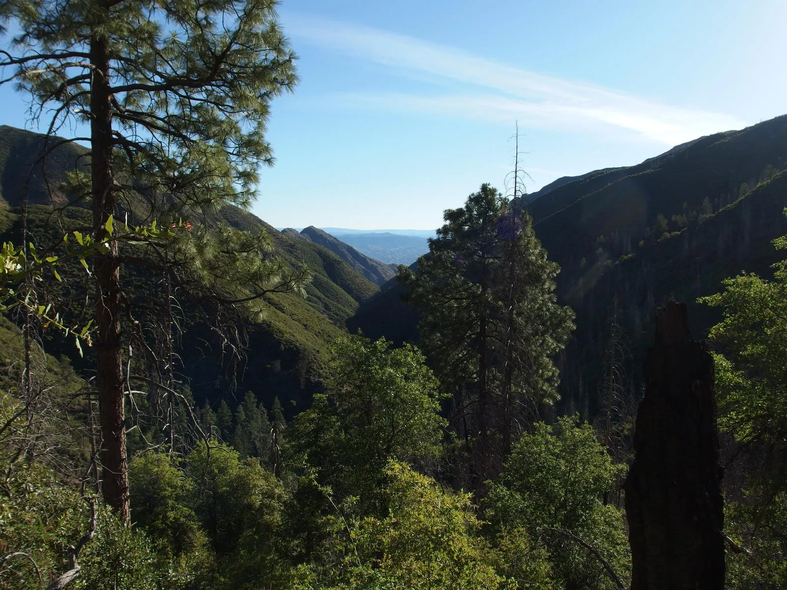
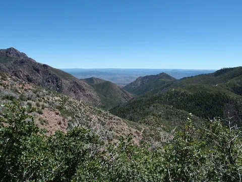 Looking back down Deer Creek
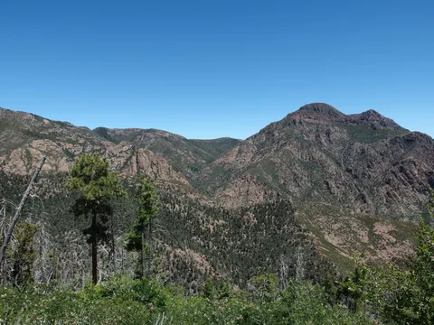 Looking up towards Bear Spring
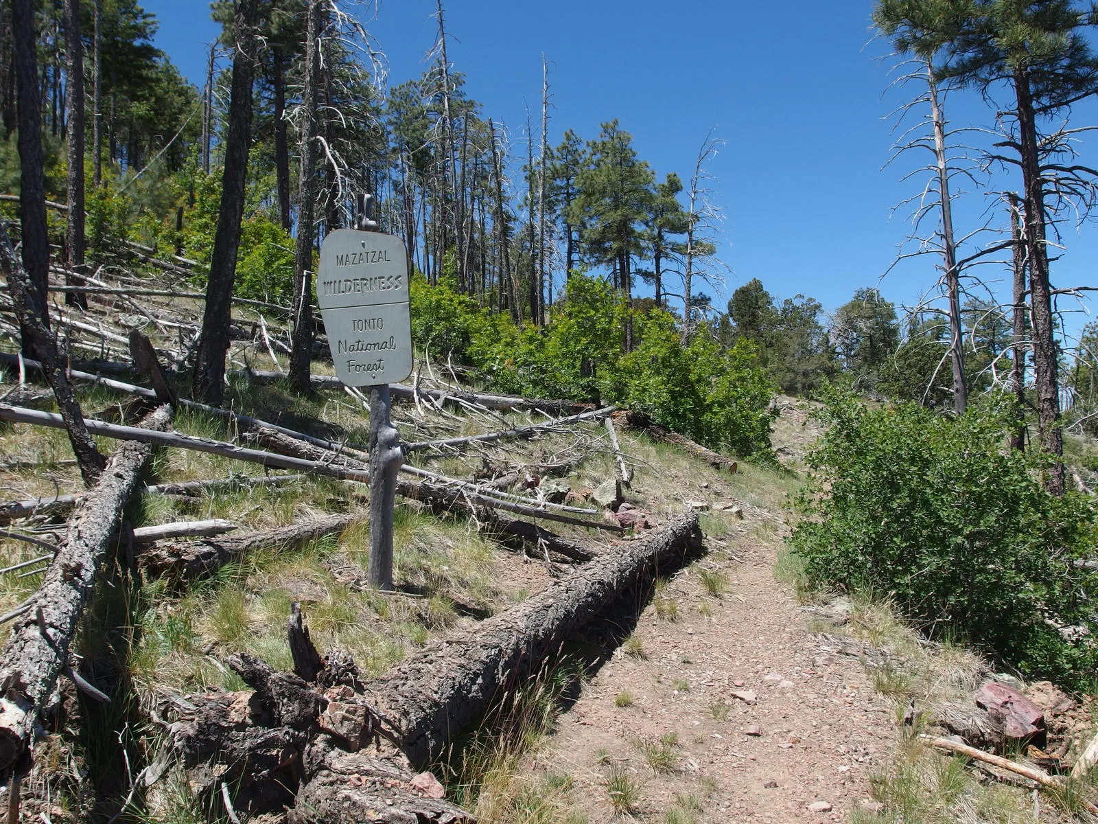
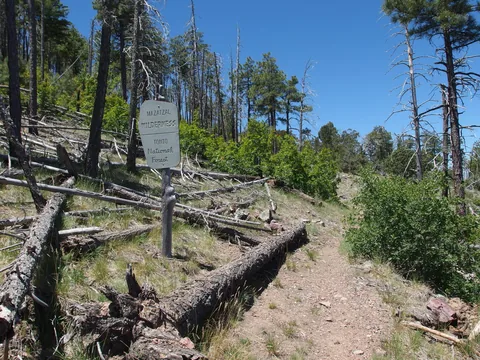 Back in the Mazatzal Wilderness
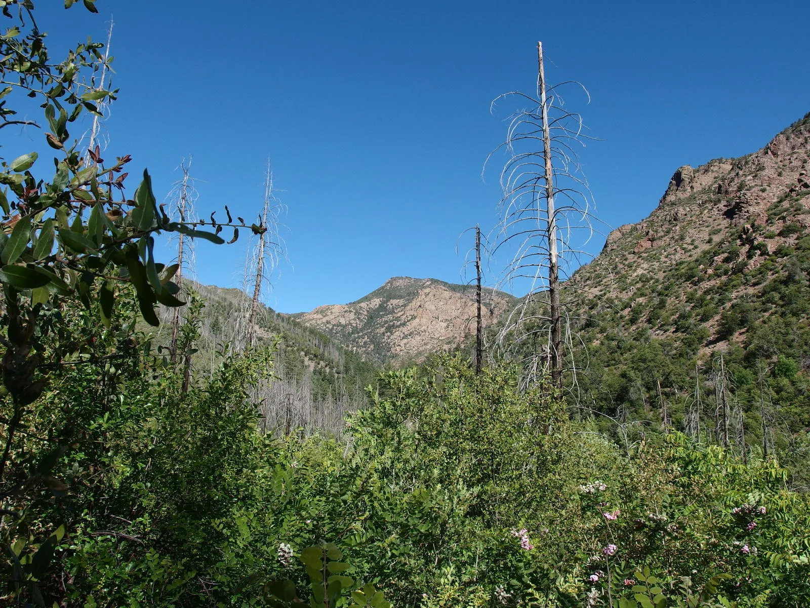
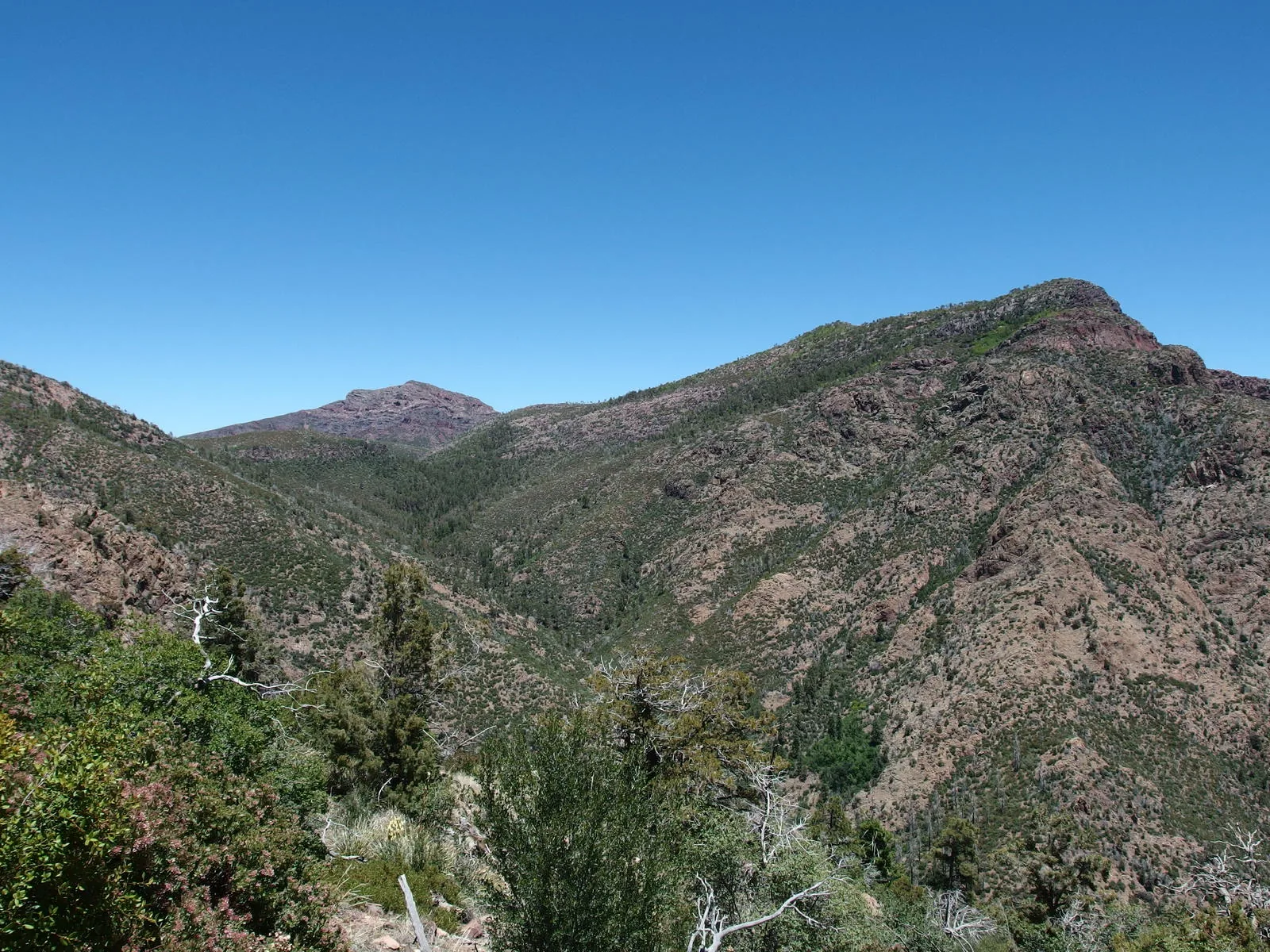
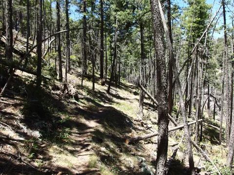 Spared pine forest hiding behind Mount Peeley
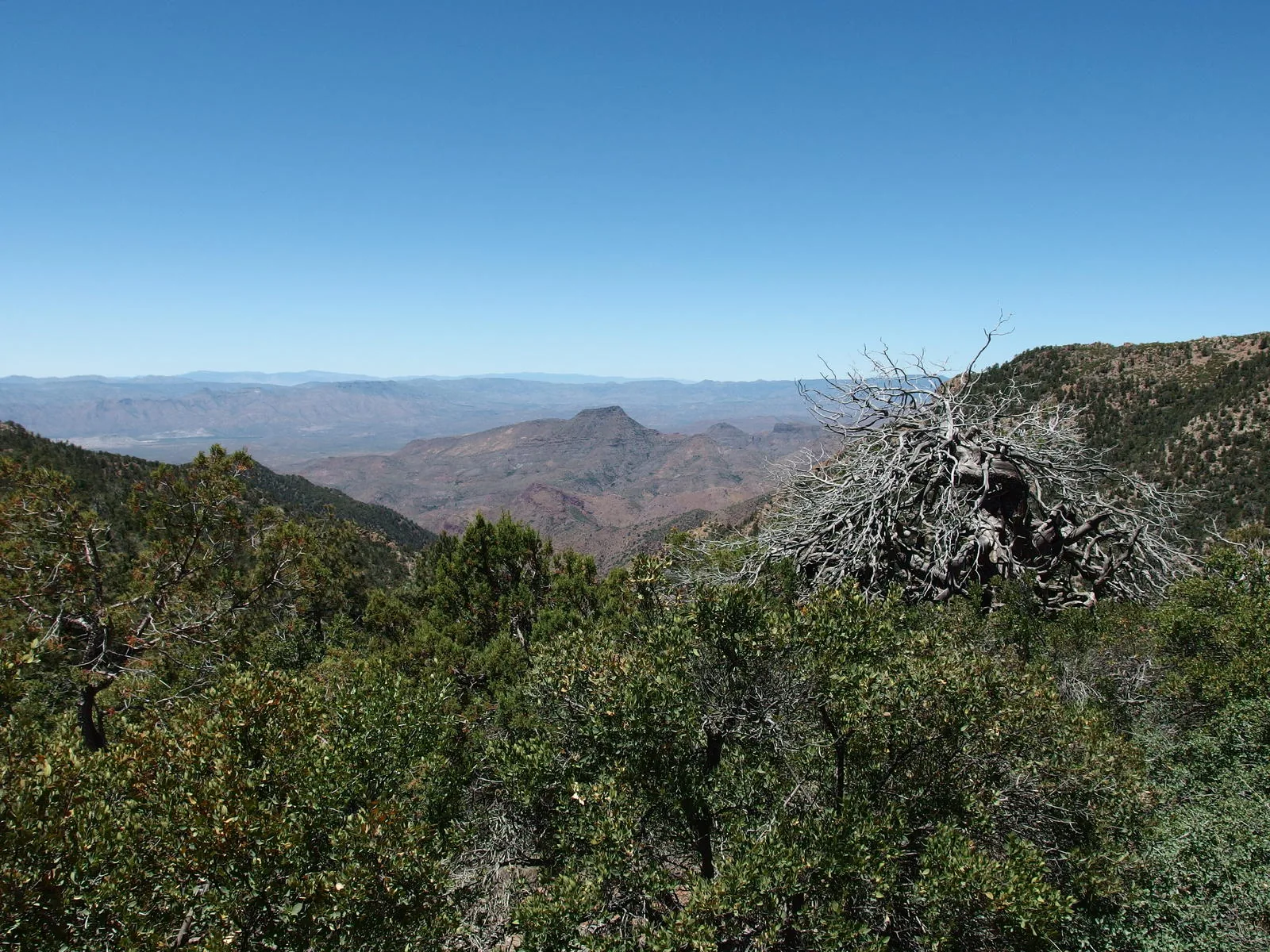
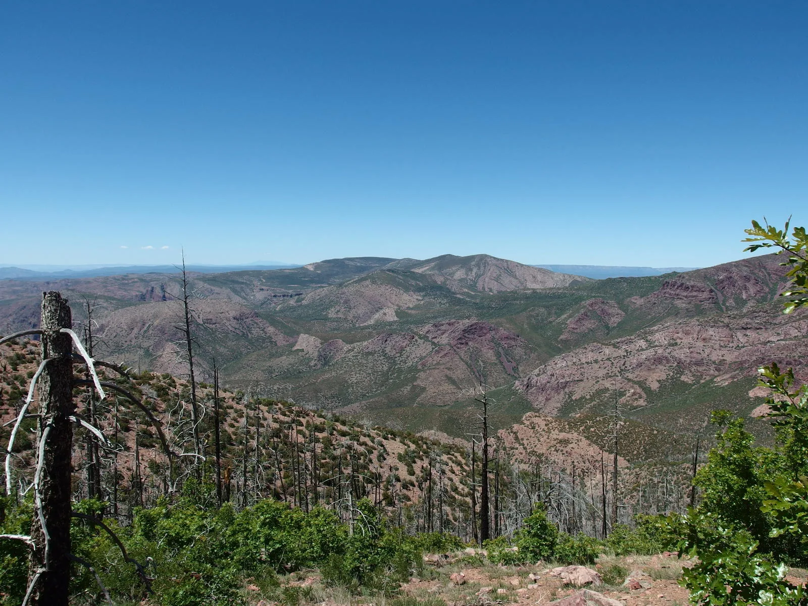
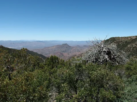 Western view of Table Mountain
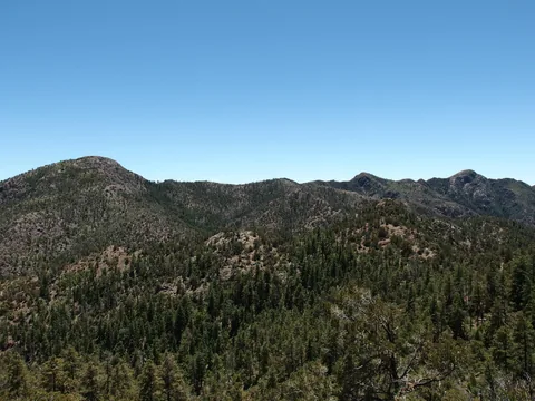 Ridge connecting Mount Peeley to Sheep Mountain
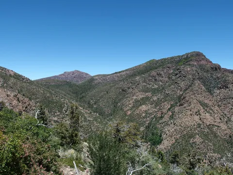 Mazatzal Peak poking up beyond Bear Spring
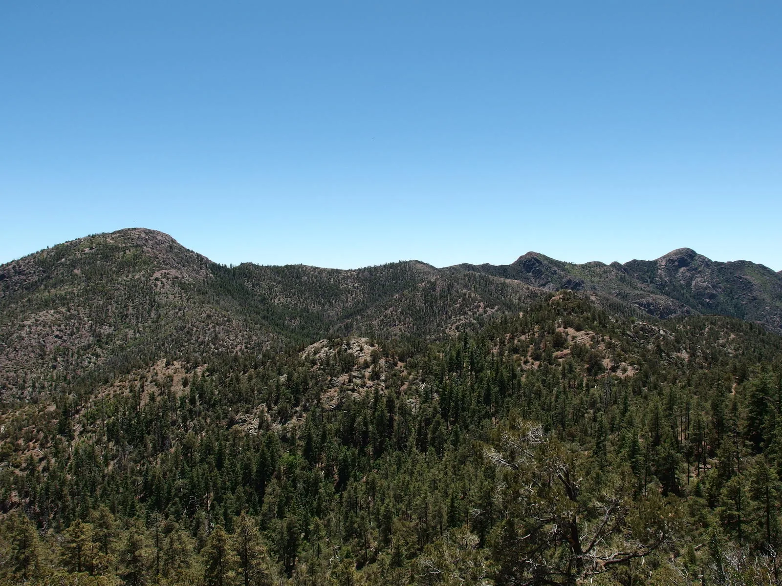
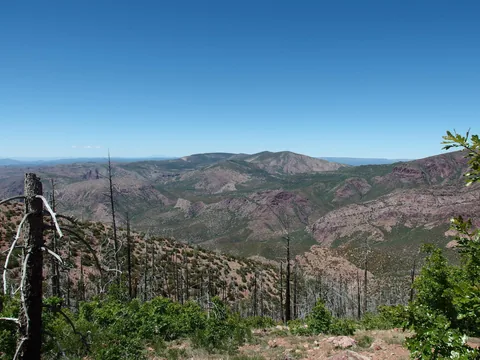 Looking north along the Mazatzal spine
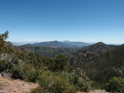 Looking back towards Four Peaks
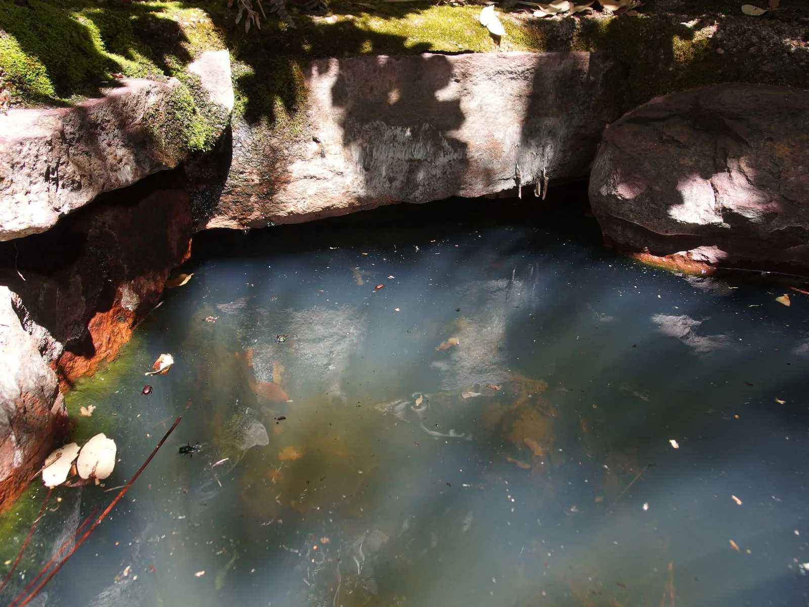
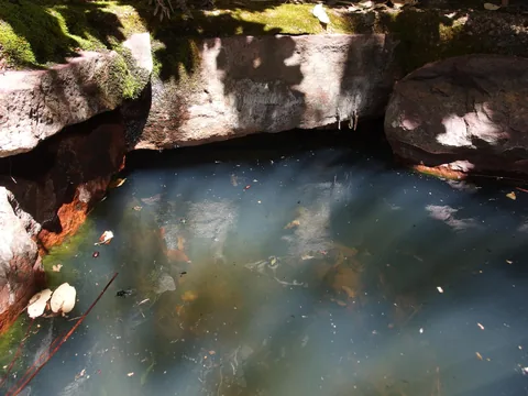 Slightly murky water at Bear Spring
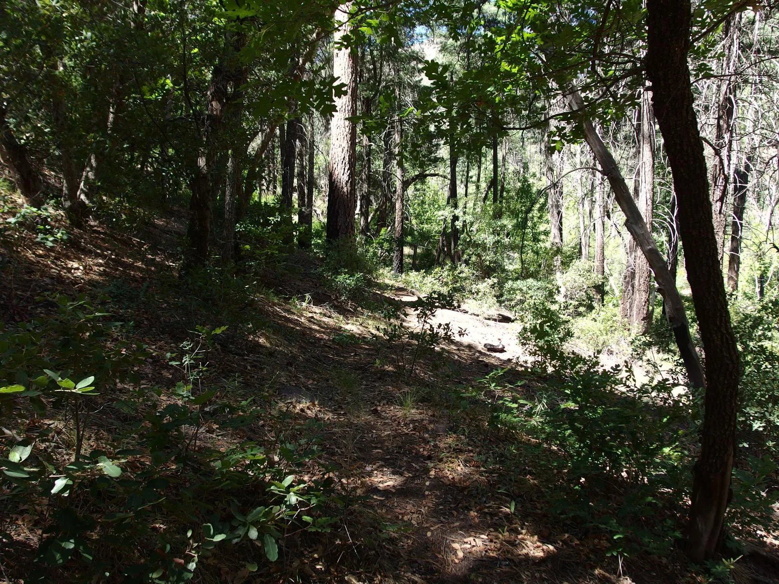
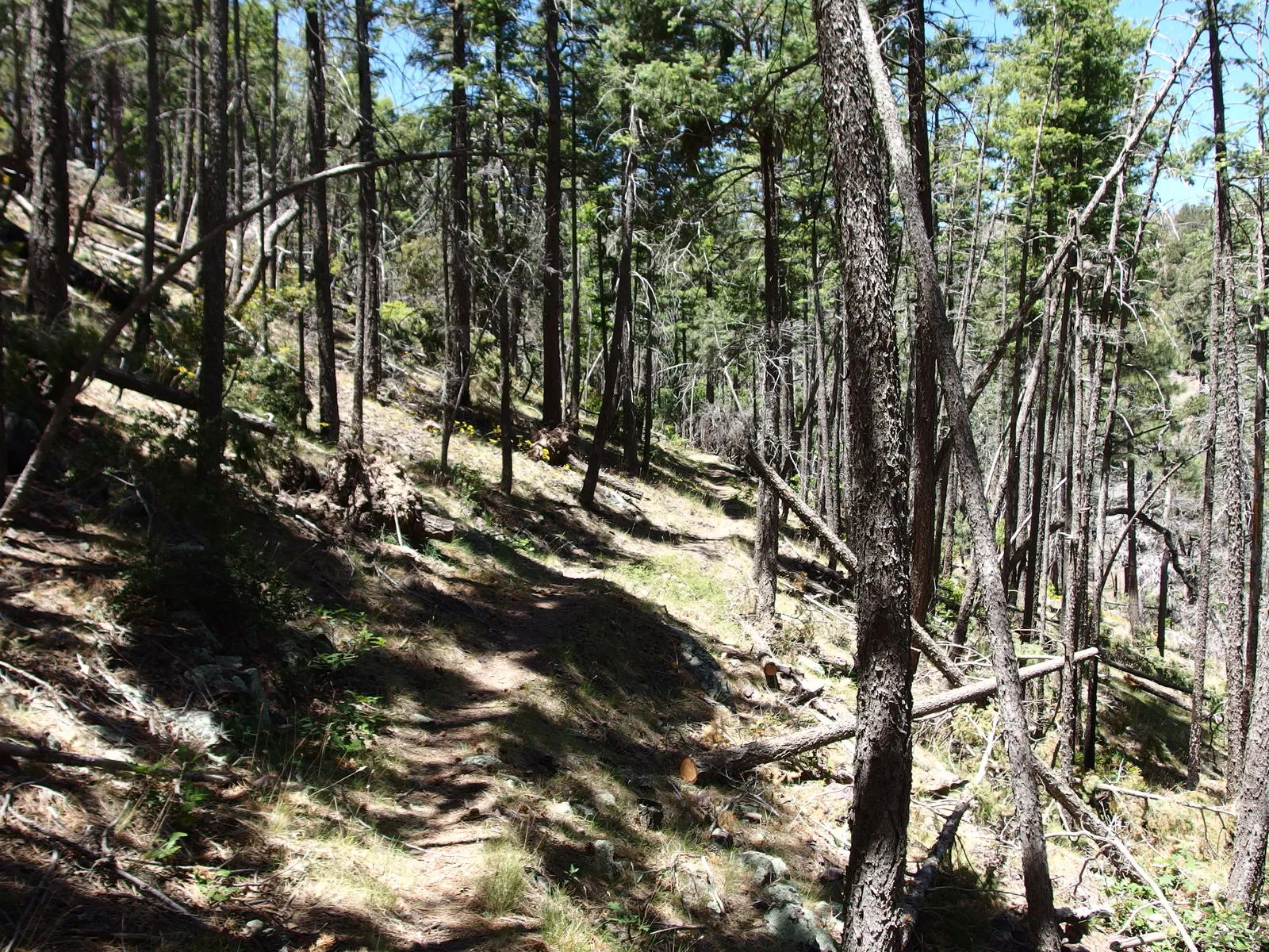
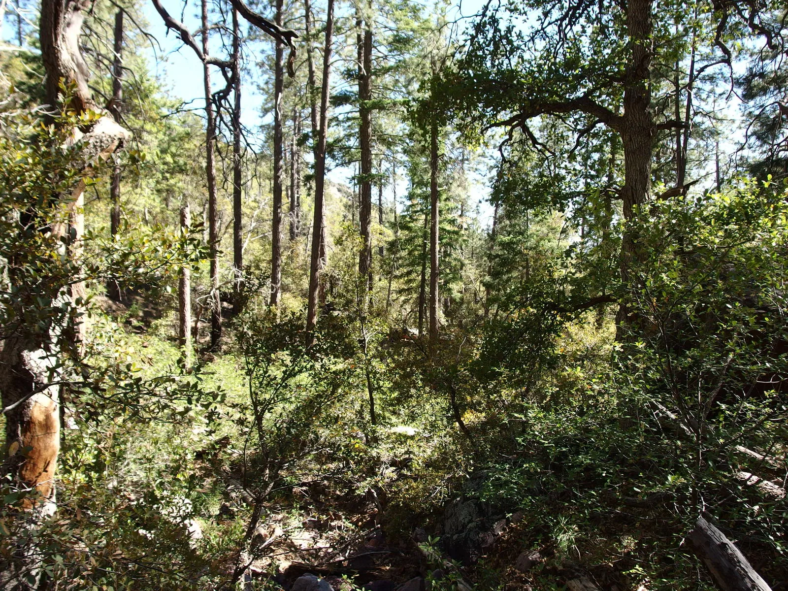
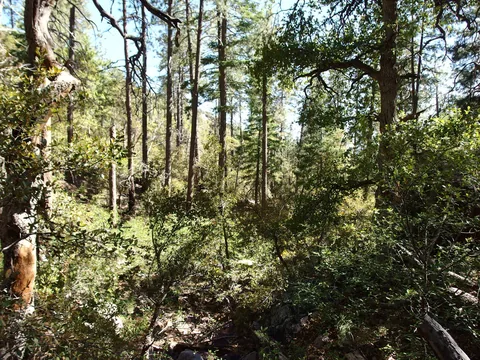 Relatively easy forest walking
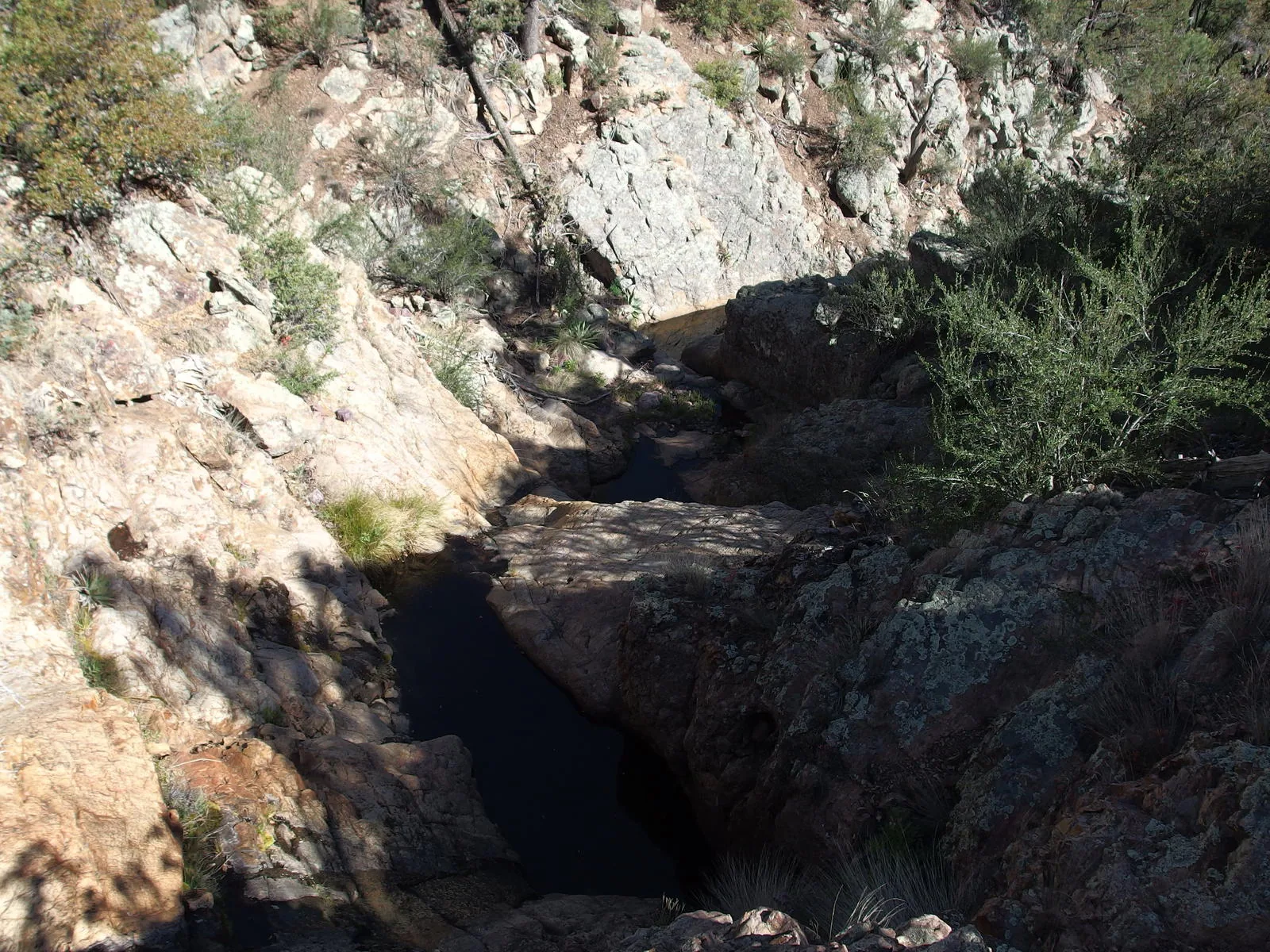
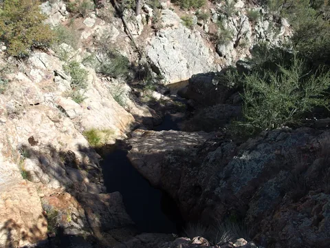 Sudden rocky drops to navigate
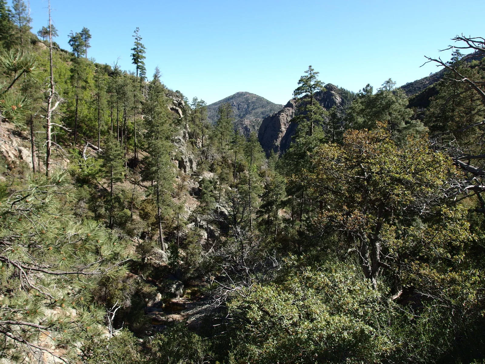
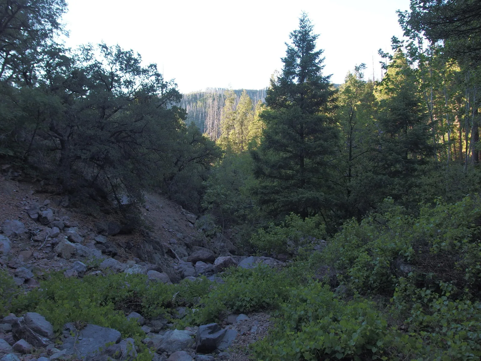
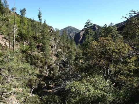 Rocky, forested canyon down
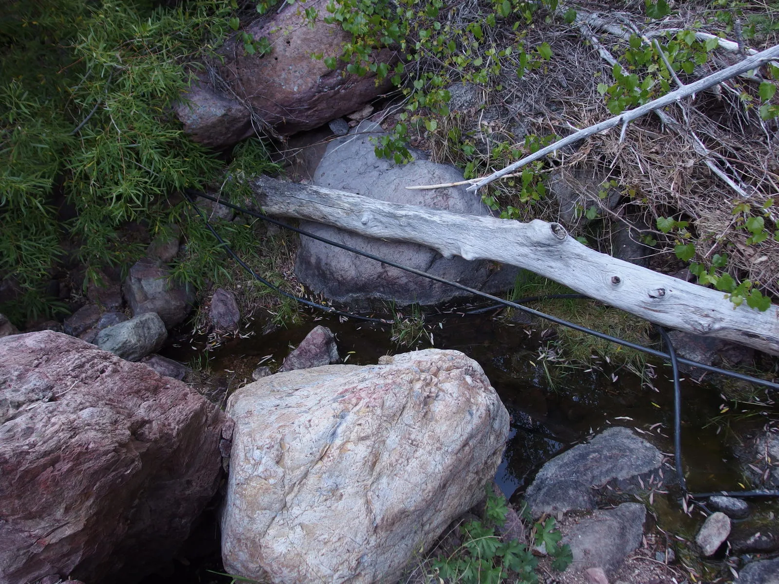
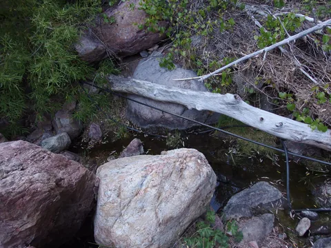 Mystery pipes along the creek
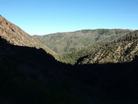 Longing view down to Gowan Camp
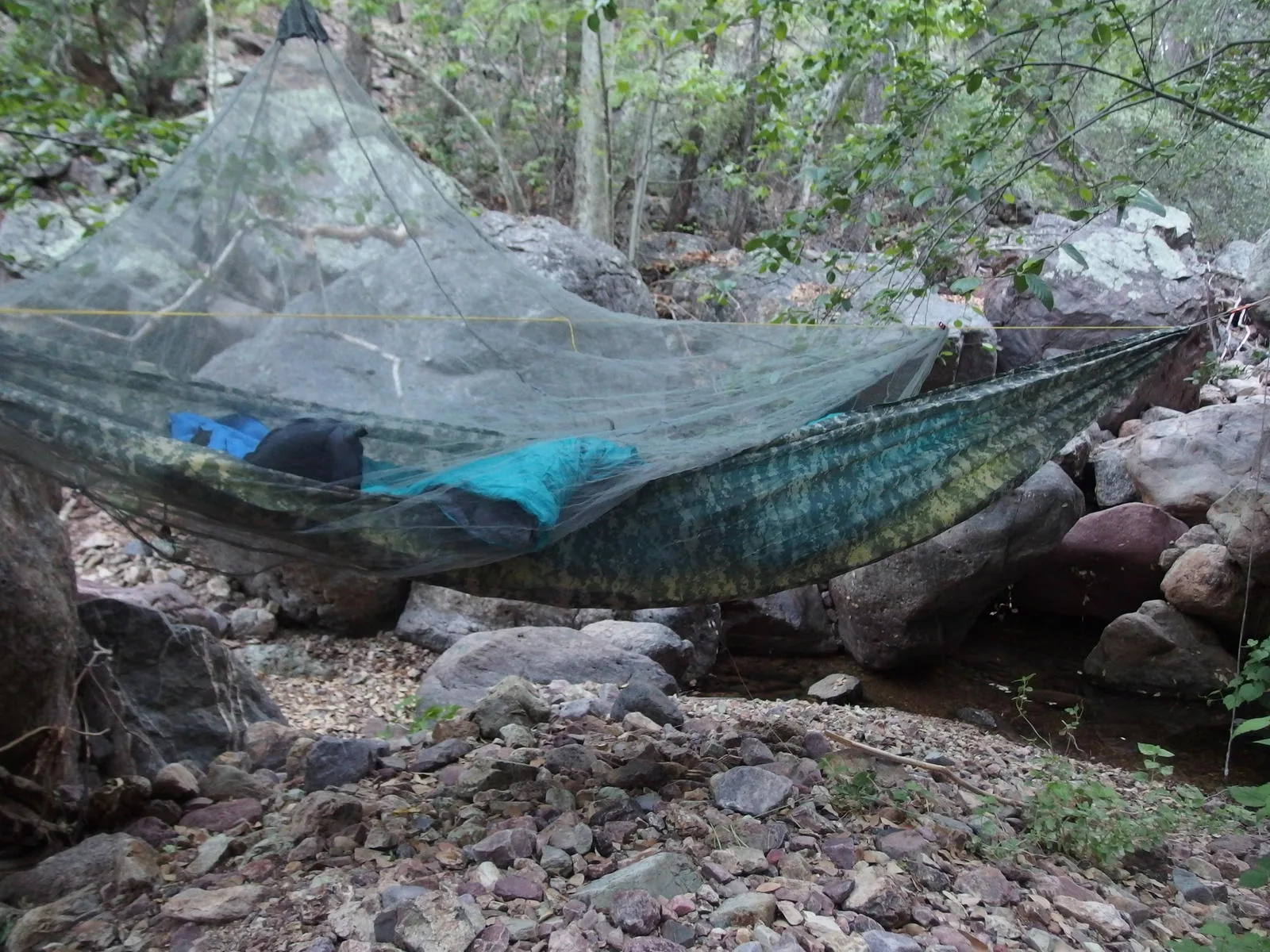
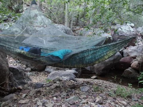 Hammock setup in the rocky wash
 Morning light near Gowan Camp
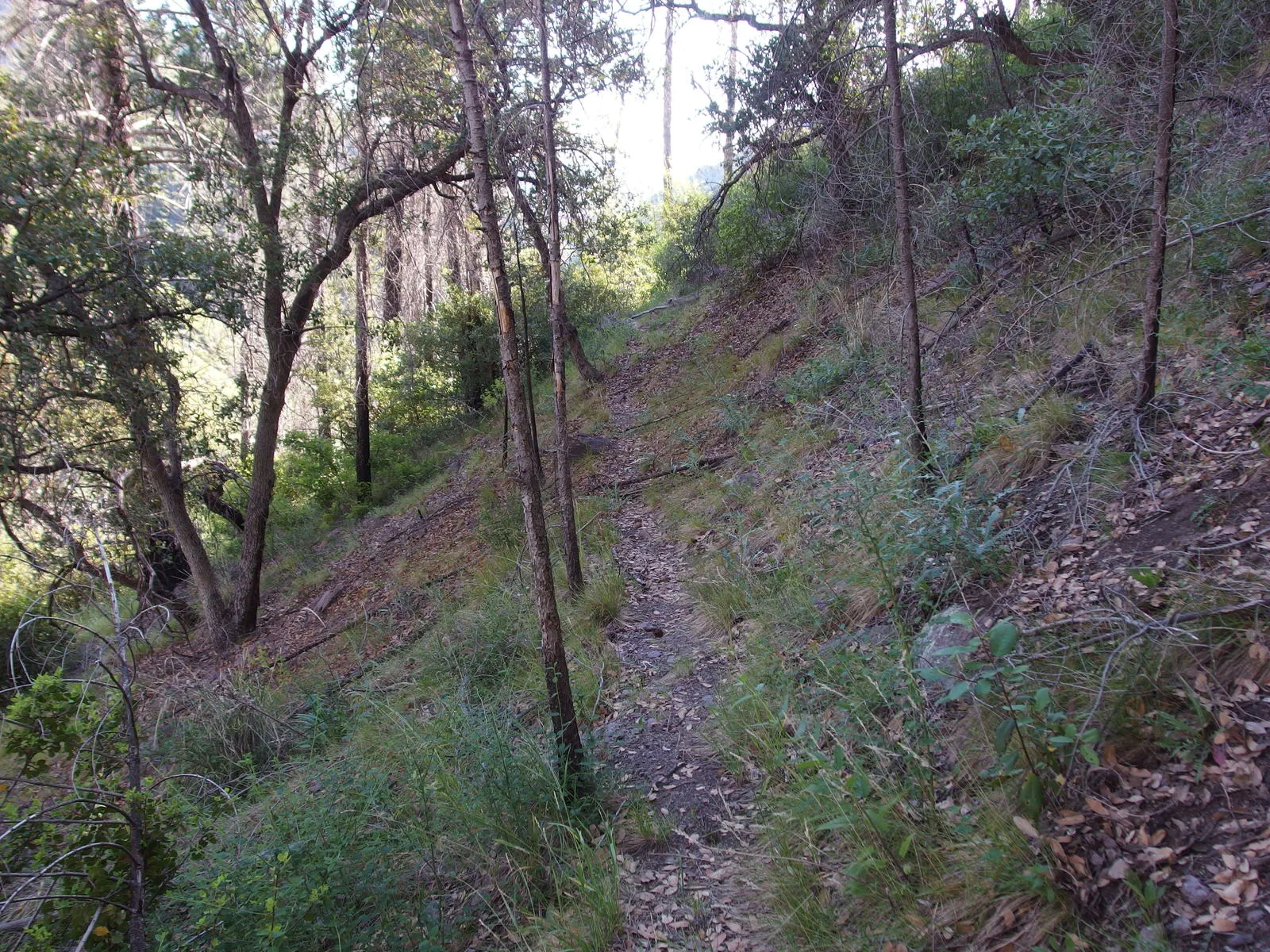
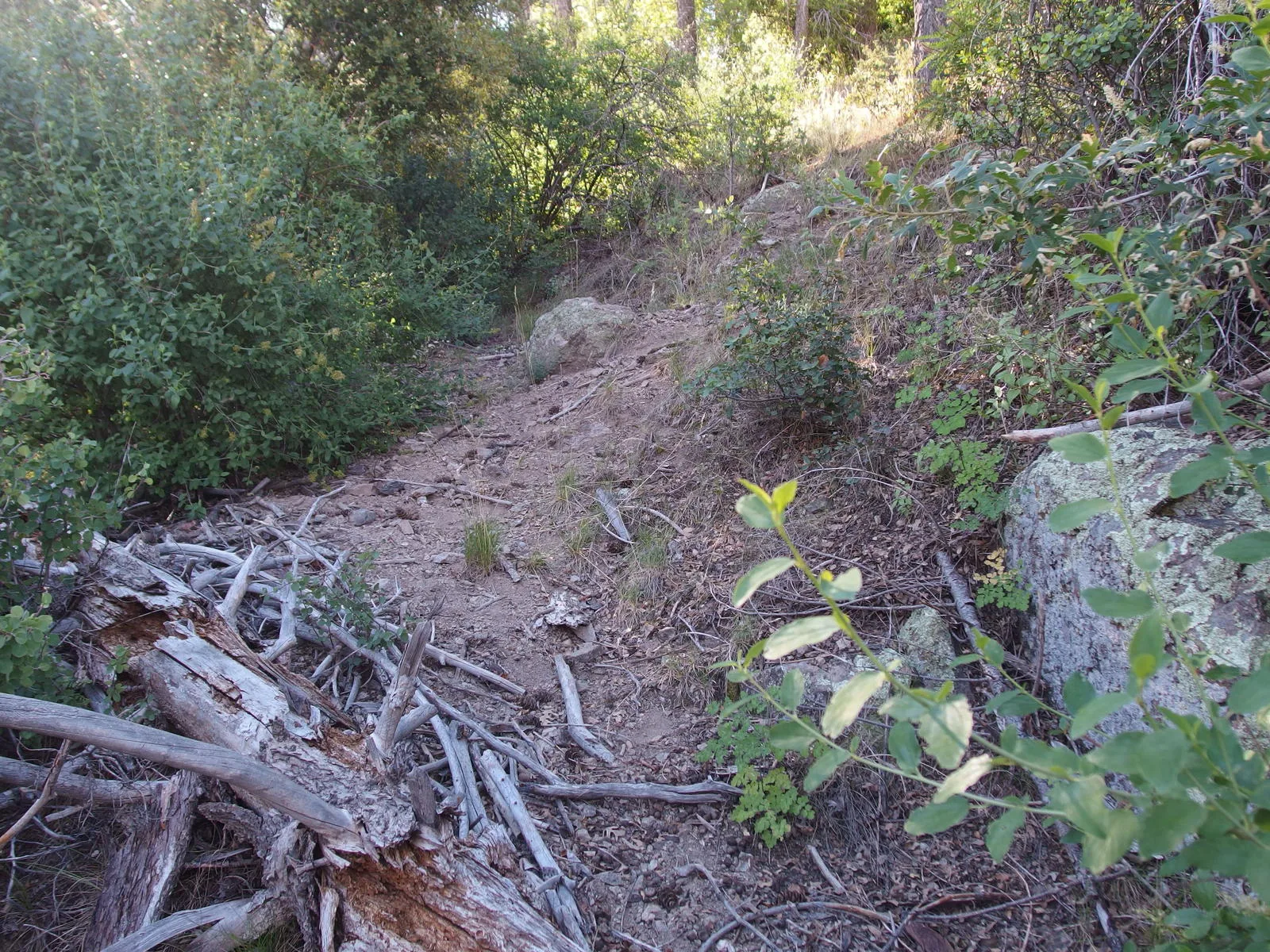
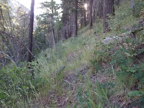 A faint tread on Davey Gowan
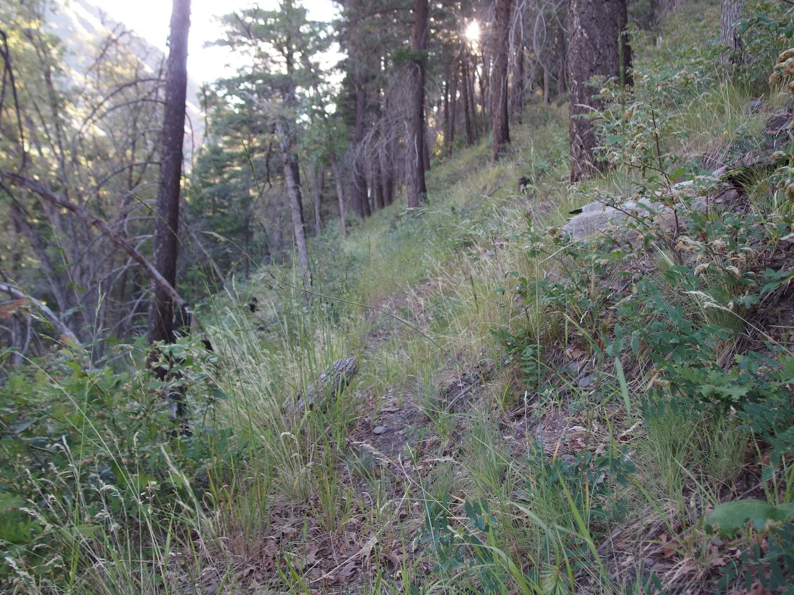
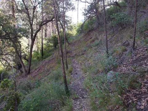 Easy tread to follow
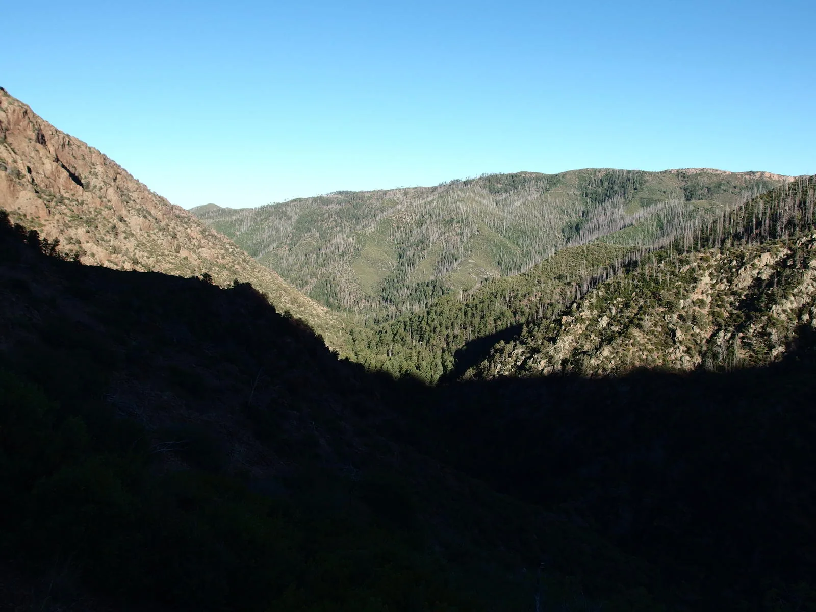
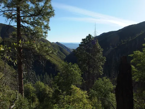 A great view down Deer Creek
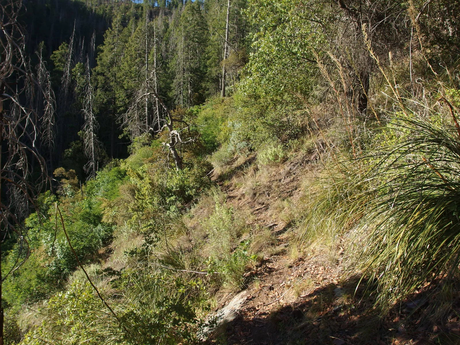
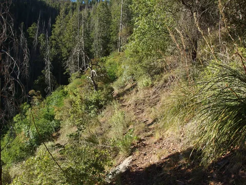 Easy walking along a steep hill
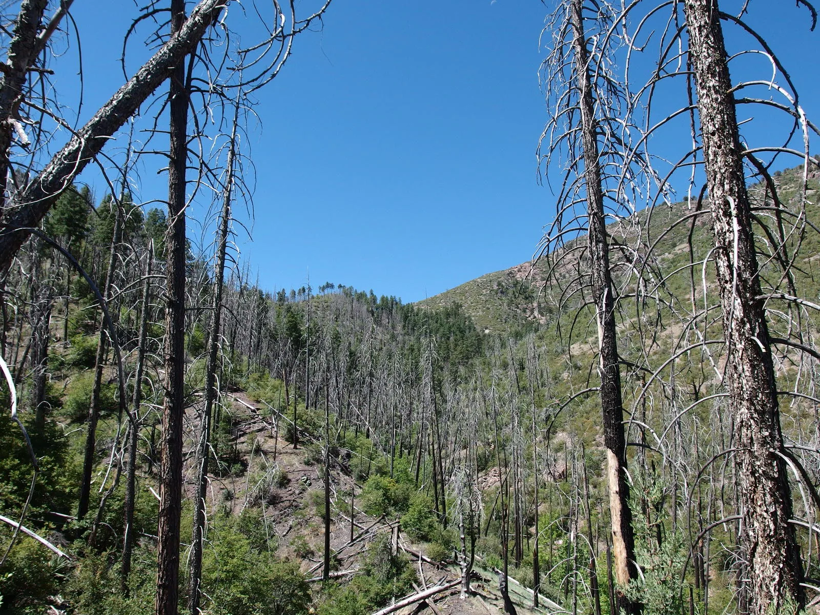
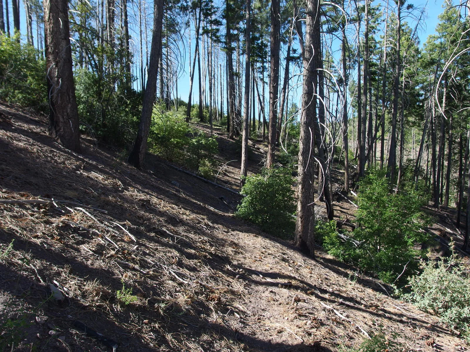
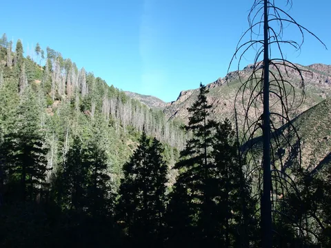 Looking back at the burn line
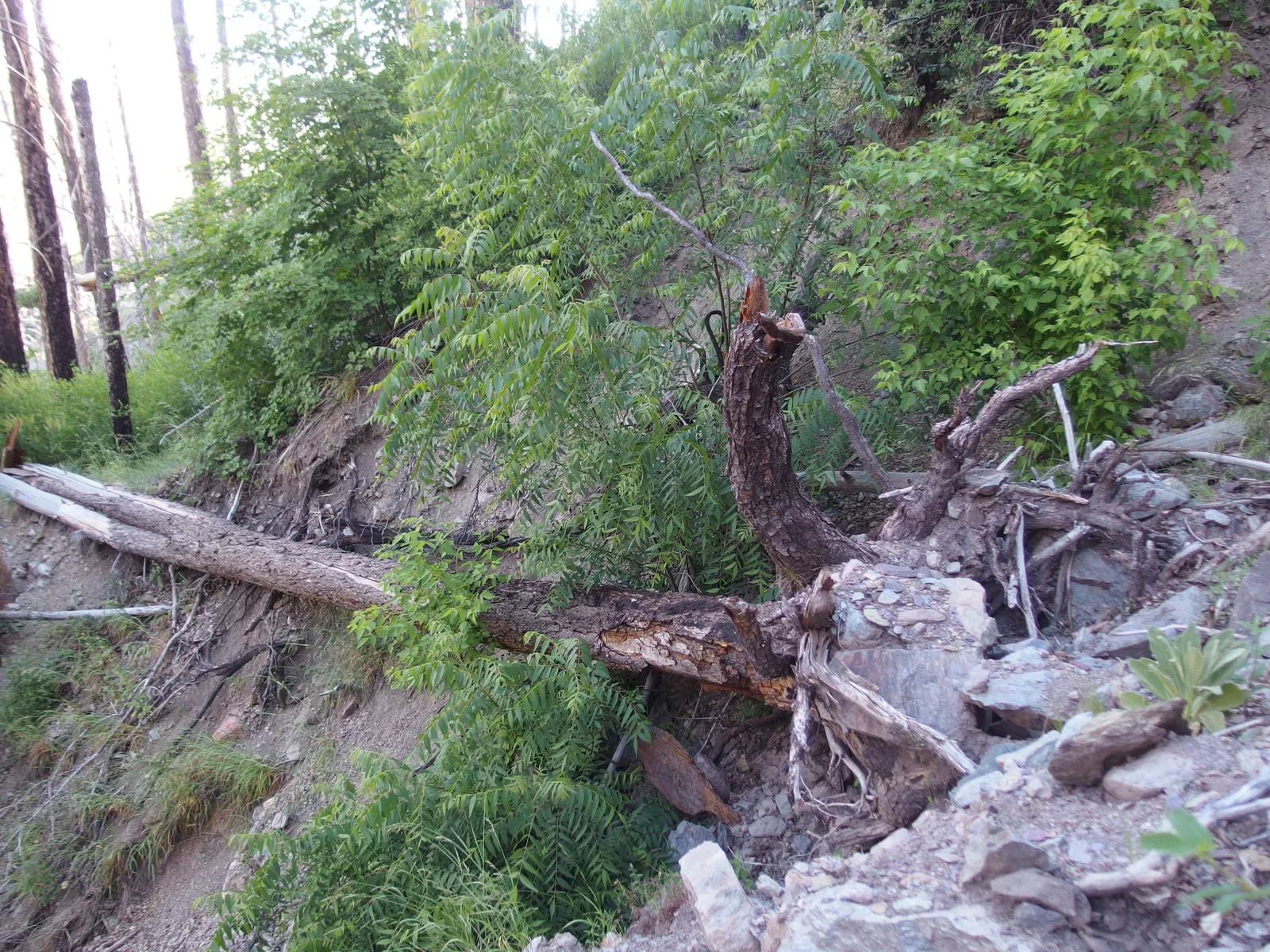
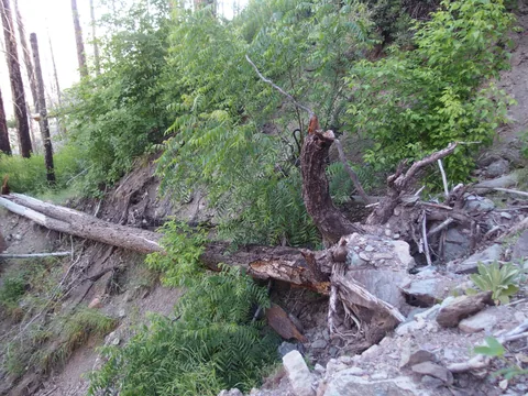 Dangerous washout section
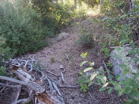 A steep uphill tread
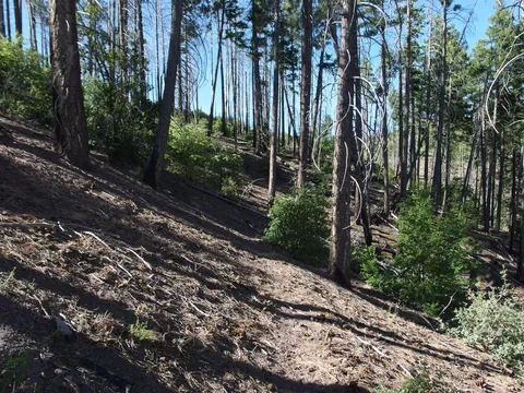 A surprisingly good section of tread
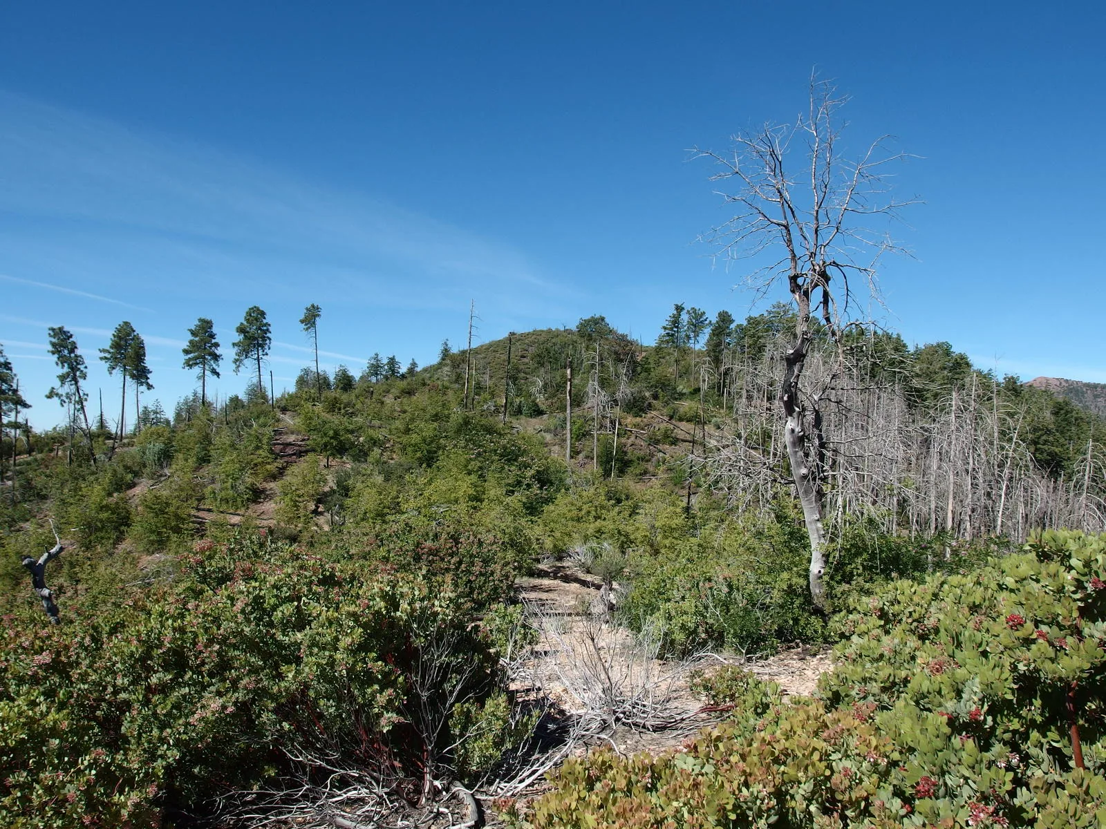
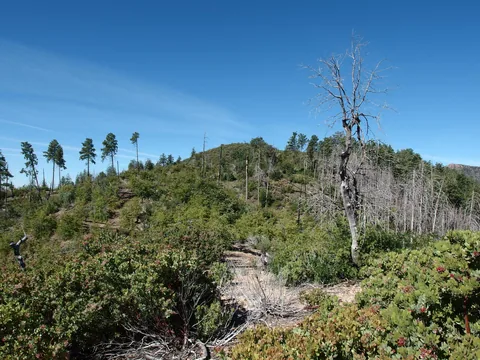 Badly scarred landscape on top of the climb
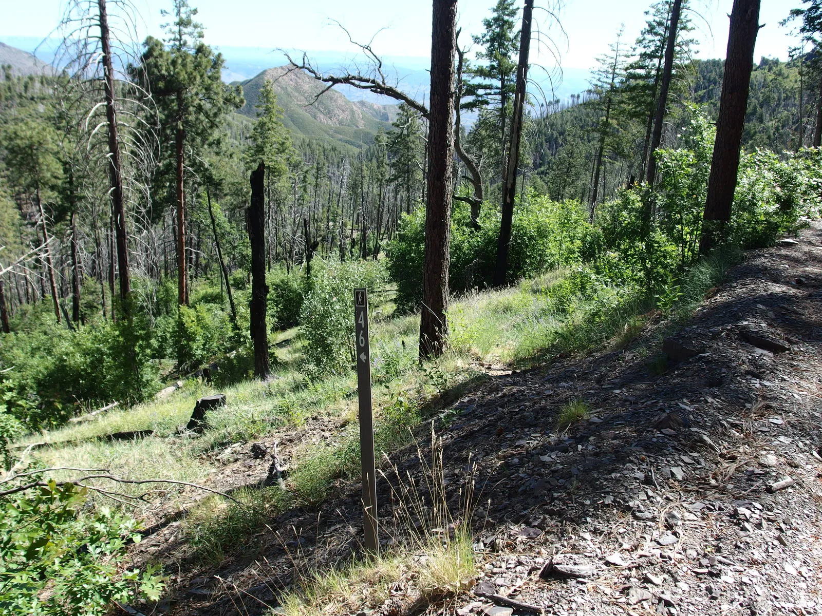
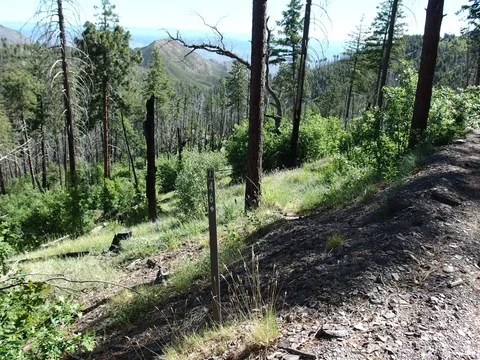 A humble start to South Fork Trail
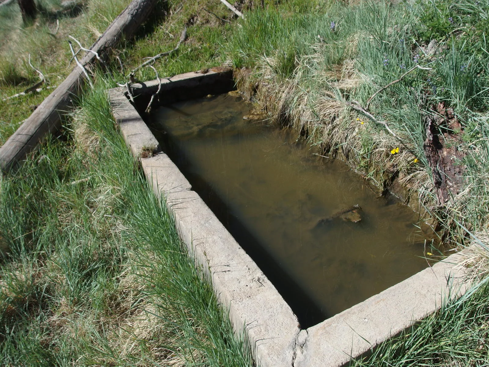
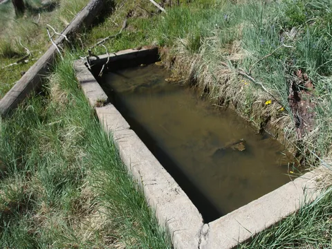 Murky waters at Pigeon Spring
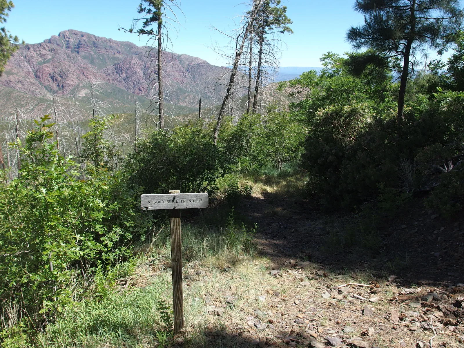
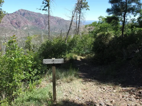 The start of Gold Ridge Trail
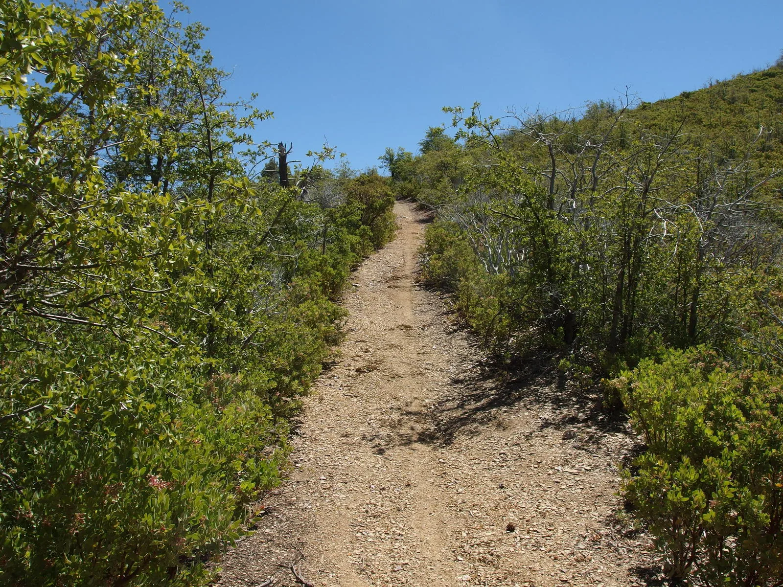
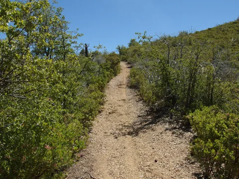 Luxuriously clear trail
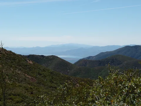 White smoke over the Pinals
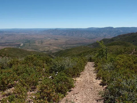 A long view down to the parking area
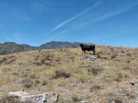 Queen of the Mazatzal Mountains
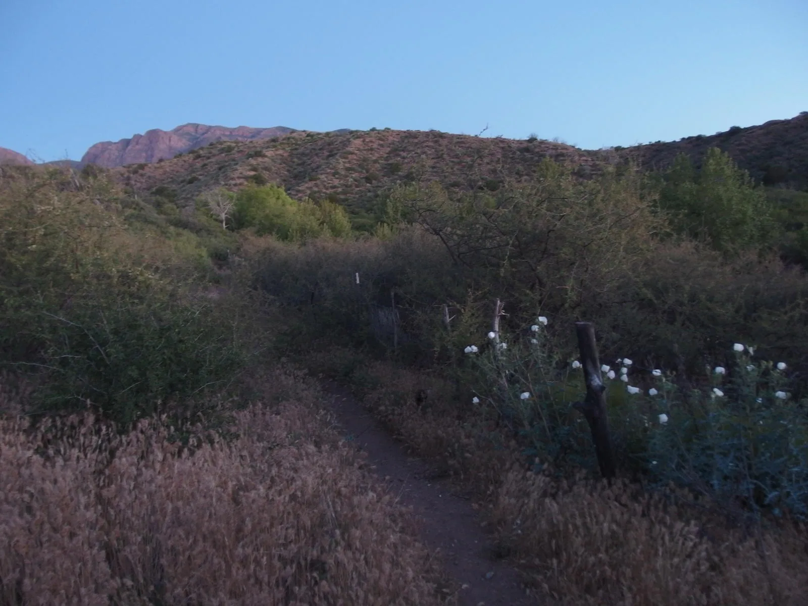
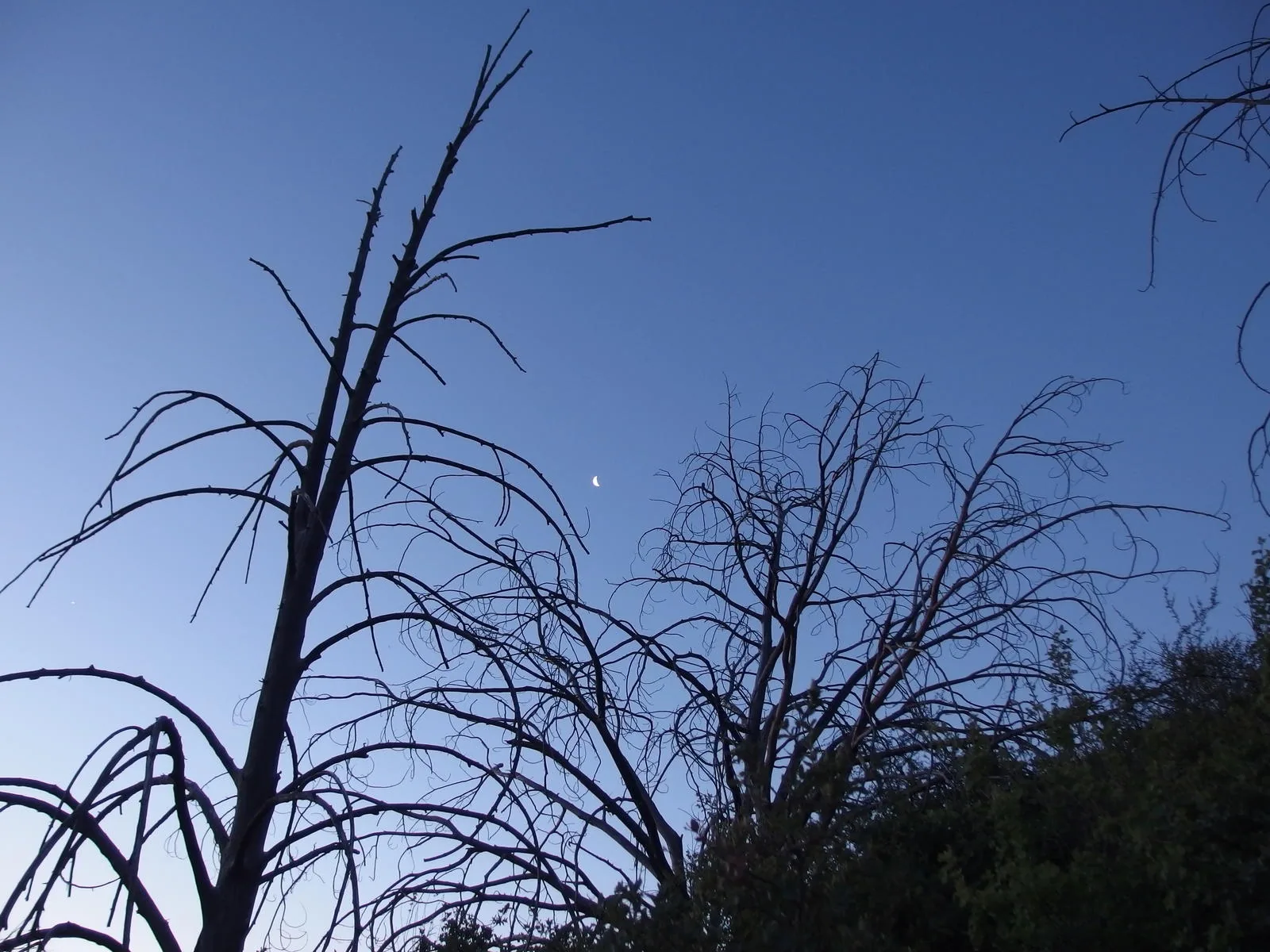
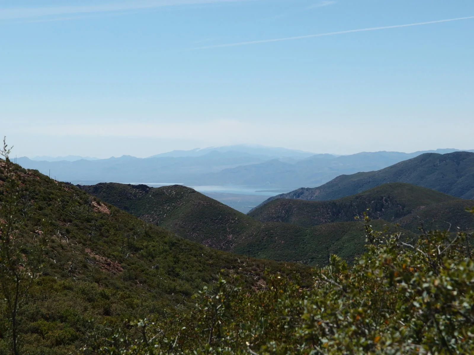
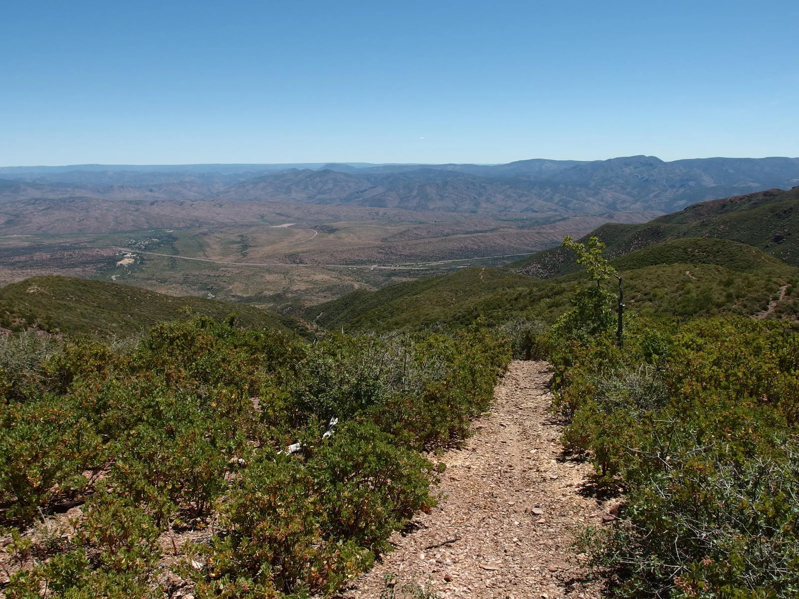
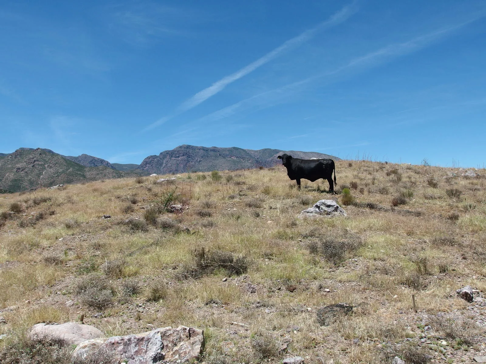
Along the way
Spring 2
- Bear Spring
- Pigeon Spring
Mountain 1
- Mount Peeley
Ruin 1
- David Gowan Grave Site
Camping 1
- Gowan Camp
Trailhead 4
- Deer Creek Trailhead
- Mount Peeley Trailhead
- South Fork Trail
- Gold Ridge Trail
Junction 3
- Davey Gowan / Deer Creek Trail Junction
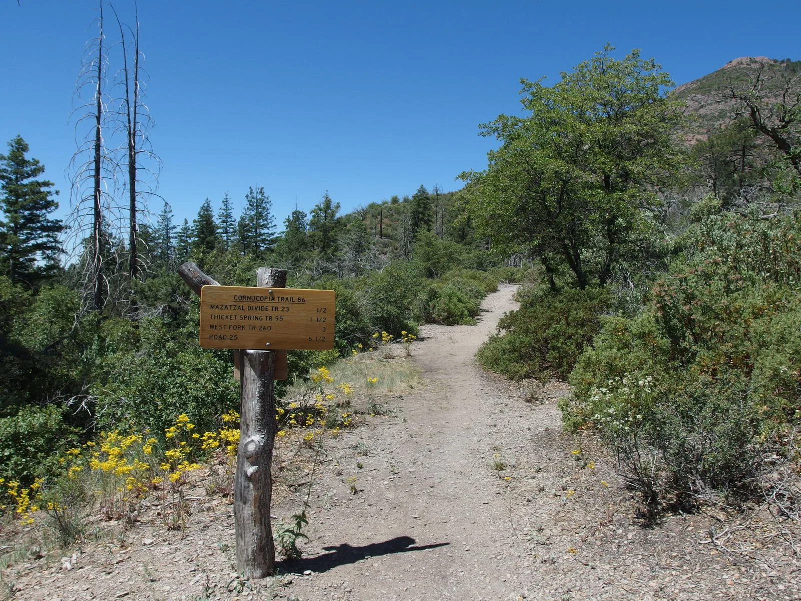
- Cornucopia / Mazatzal Divide Trail Junction
- South Fork / Deer Creek Trail Junction