Cypress Ridge Loop
22.8 mi5,355 ft
5,528 ft
3,081 ft
A long day hike starting from Saddle Mountain Trail, down Copper Camp Trail, up and over Cypress Ridge, and back up Sheep Creek Trail.
Photos
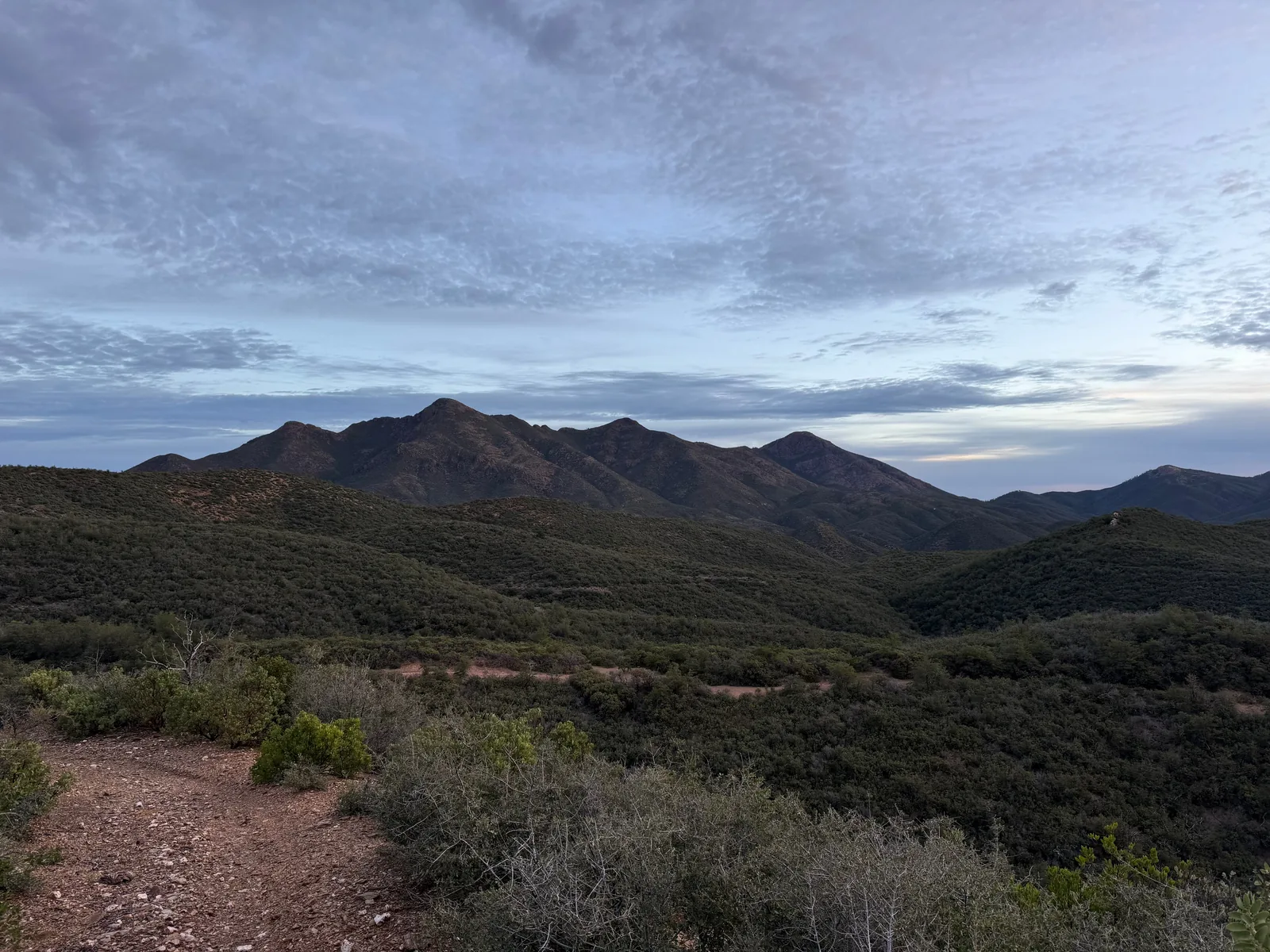
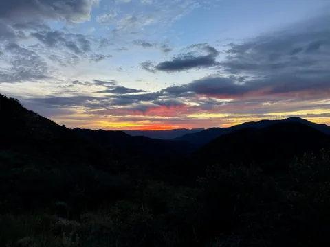 Early morning light breaking through the clouds
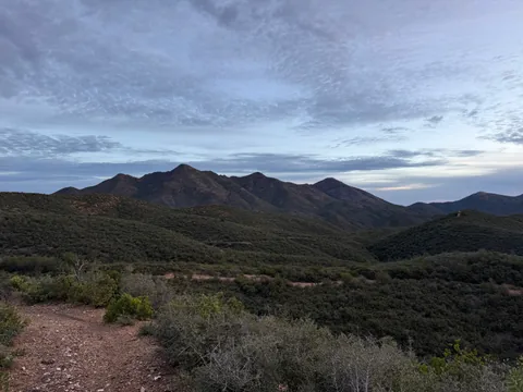 Mount Peely to Sheep Mountain ridgeline
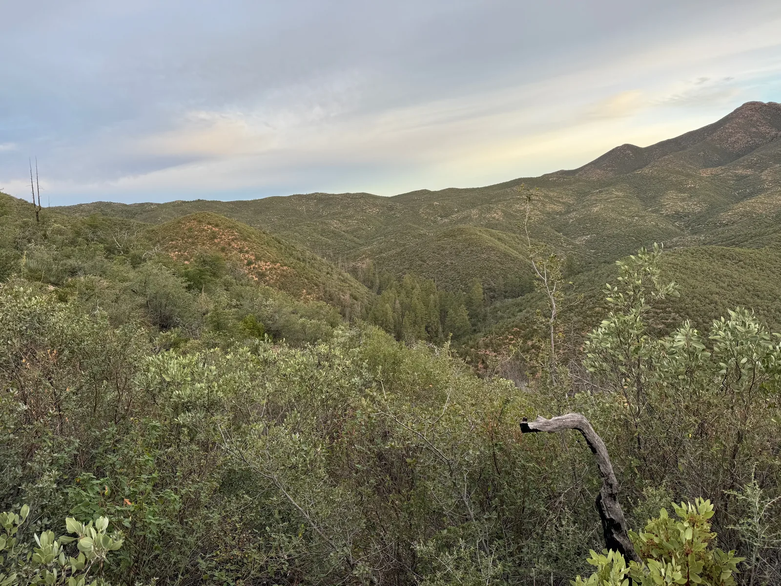
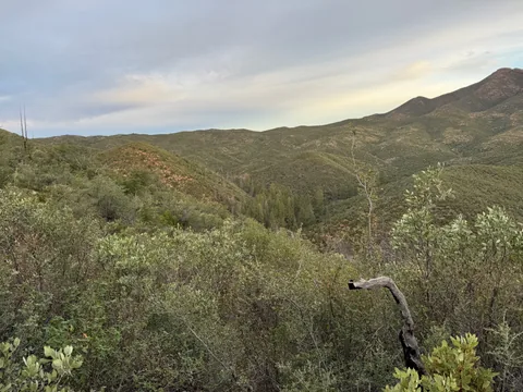 Gazing down at the McFarland drainage and the pines within
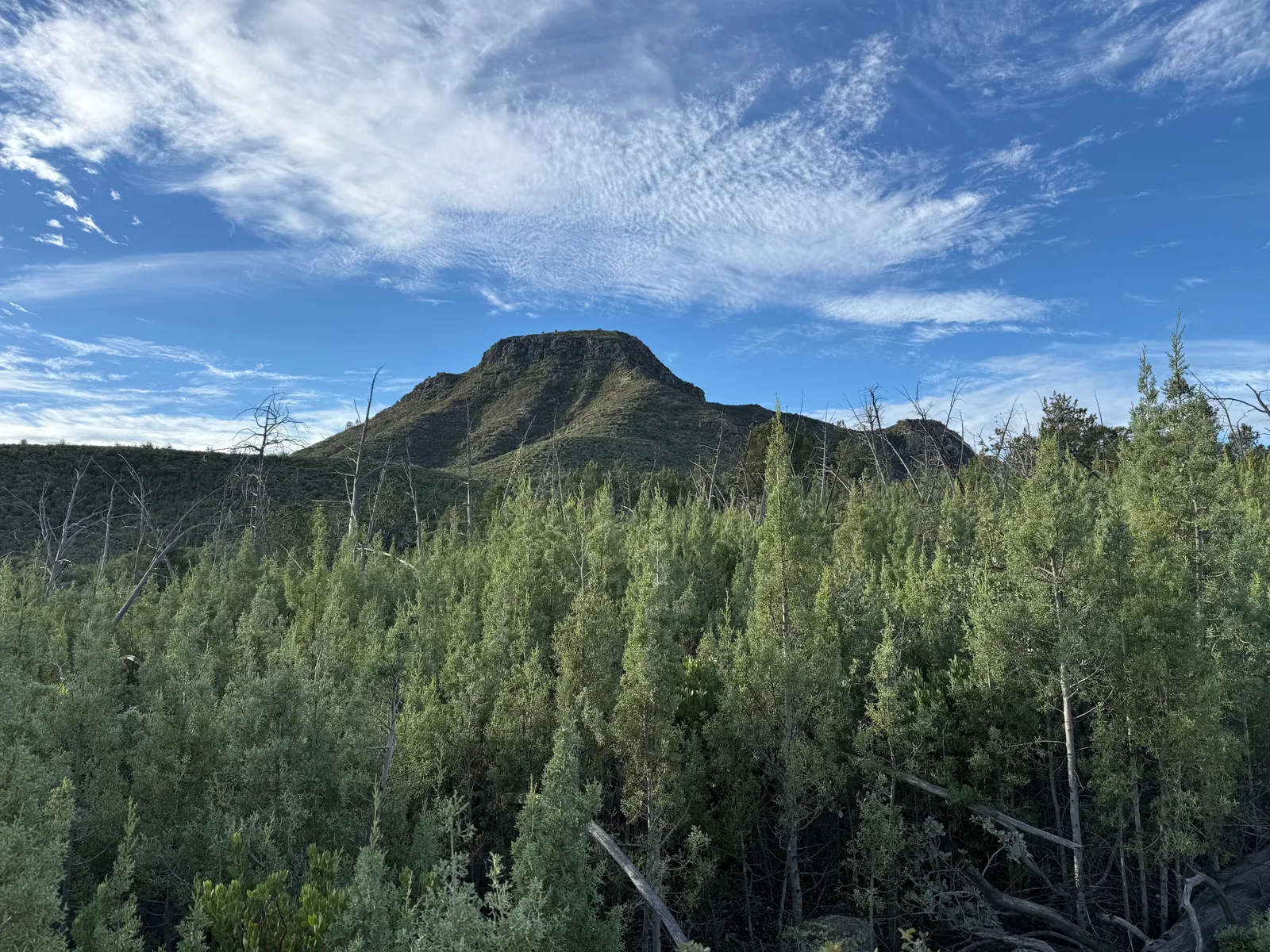
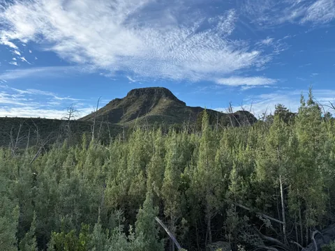 Arizona cypress, coming back thick among the snags
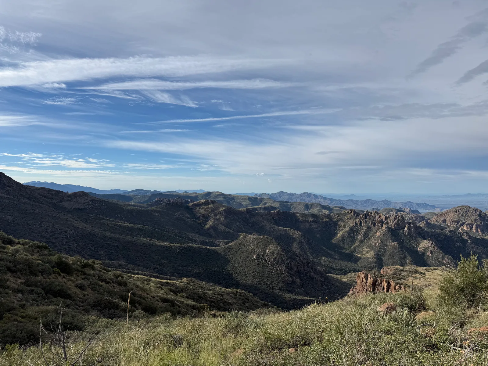
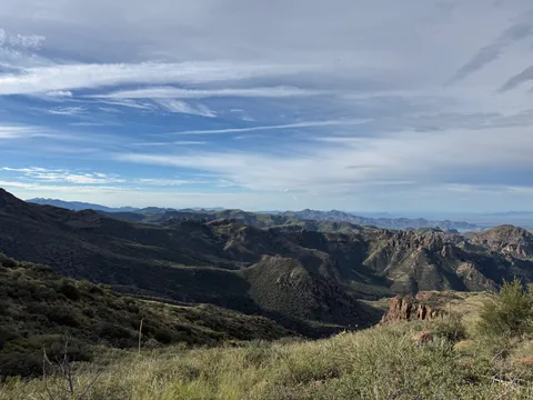 Big views from the edge of Squaw Flat
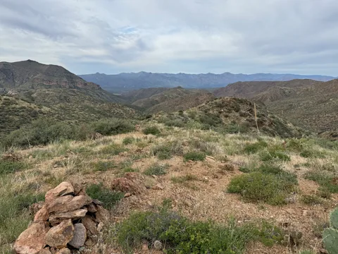 Trusting the cairns
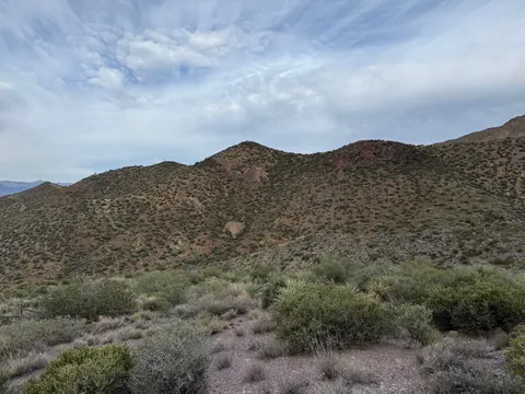 Old mines on the hillside
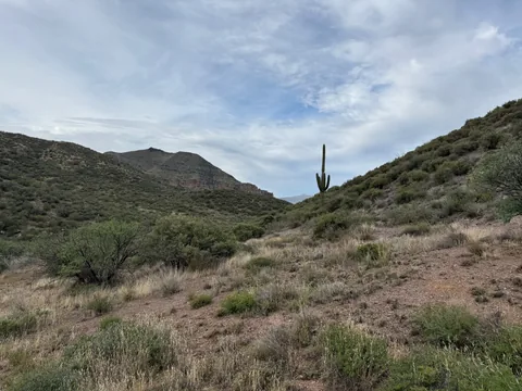 Copper Camp vibes
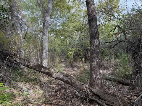 Rough hiking through riparian growth
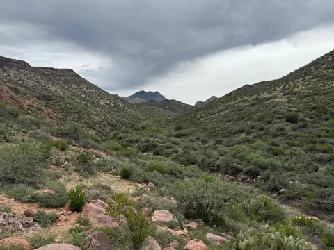 Saddle Mountain looking so close yet so far away
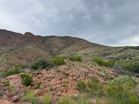 Loose red rock at the start of the climb up Cypress Ridge
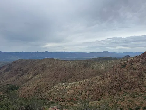 Horseshoe Basin peeking beyond the ridge
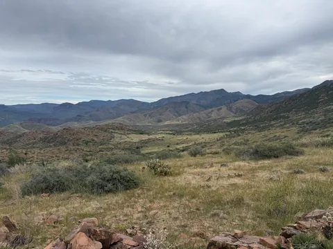 Grassy basins in the shadow of Cypress Ridge
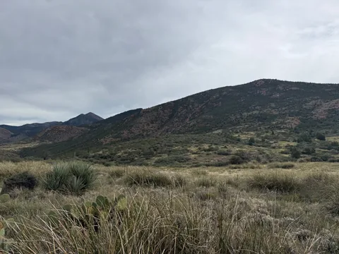 In the first meadow, not all of the grass was friendly grass
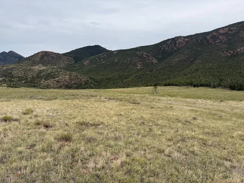 Flat grass the whole way to the treeline
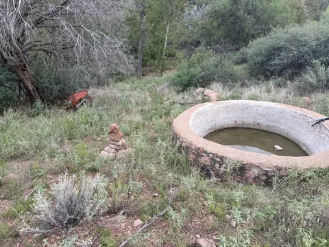 An inch of murky water at the bottom, still enough to filter
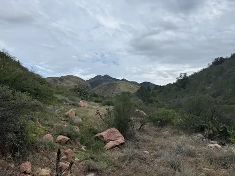 Cairns leading the way up the creek
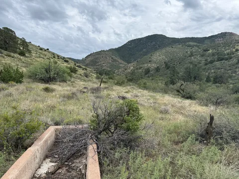 More old ranching remains along the trail
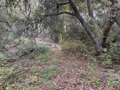 Dreamy section of trail
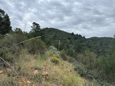 Looking up at the climb above the climb
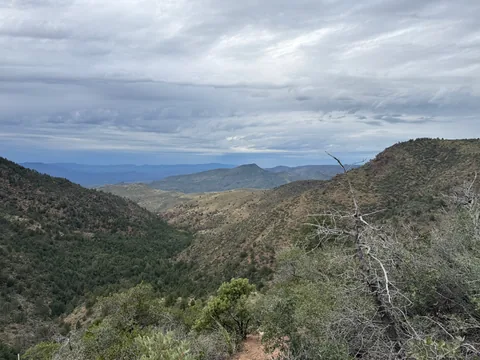 Long view northwards towards Table Mountain
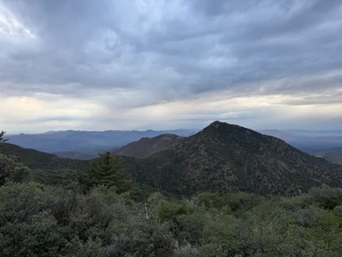 Last look back at Cypress Ridge
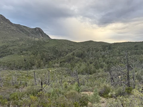 Picking out the unburnt sections
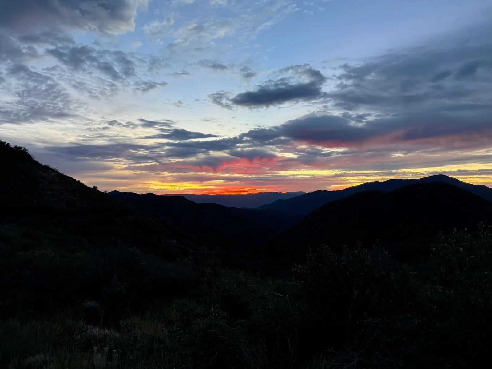
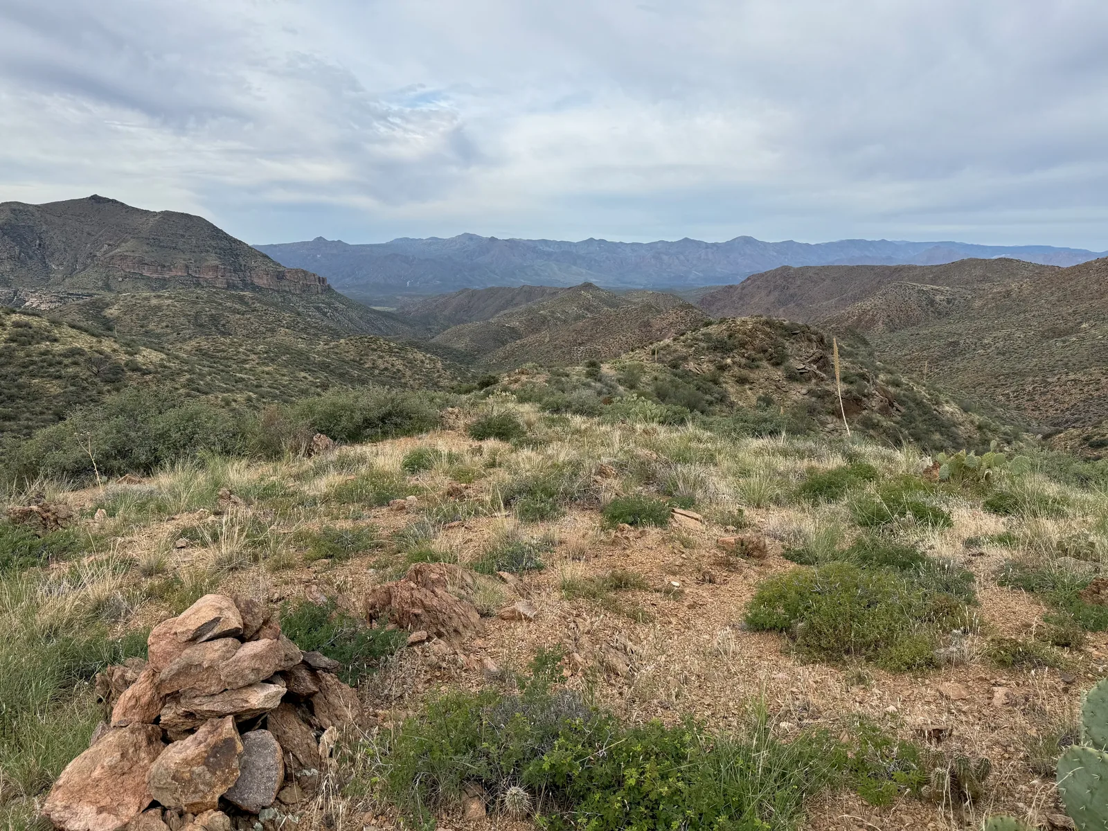
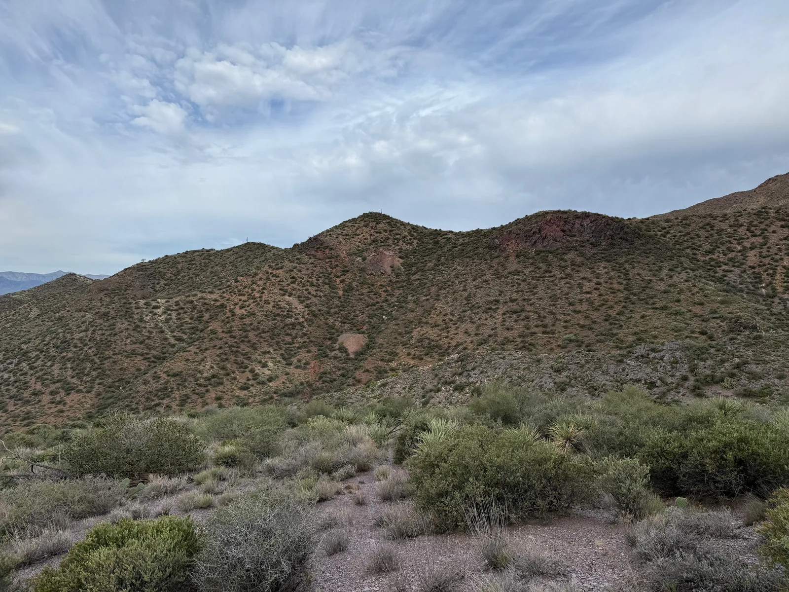
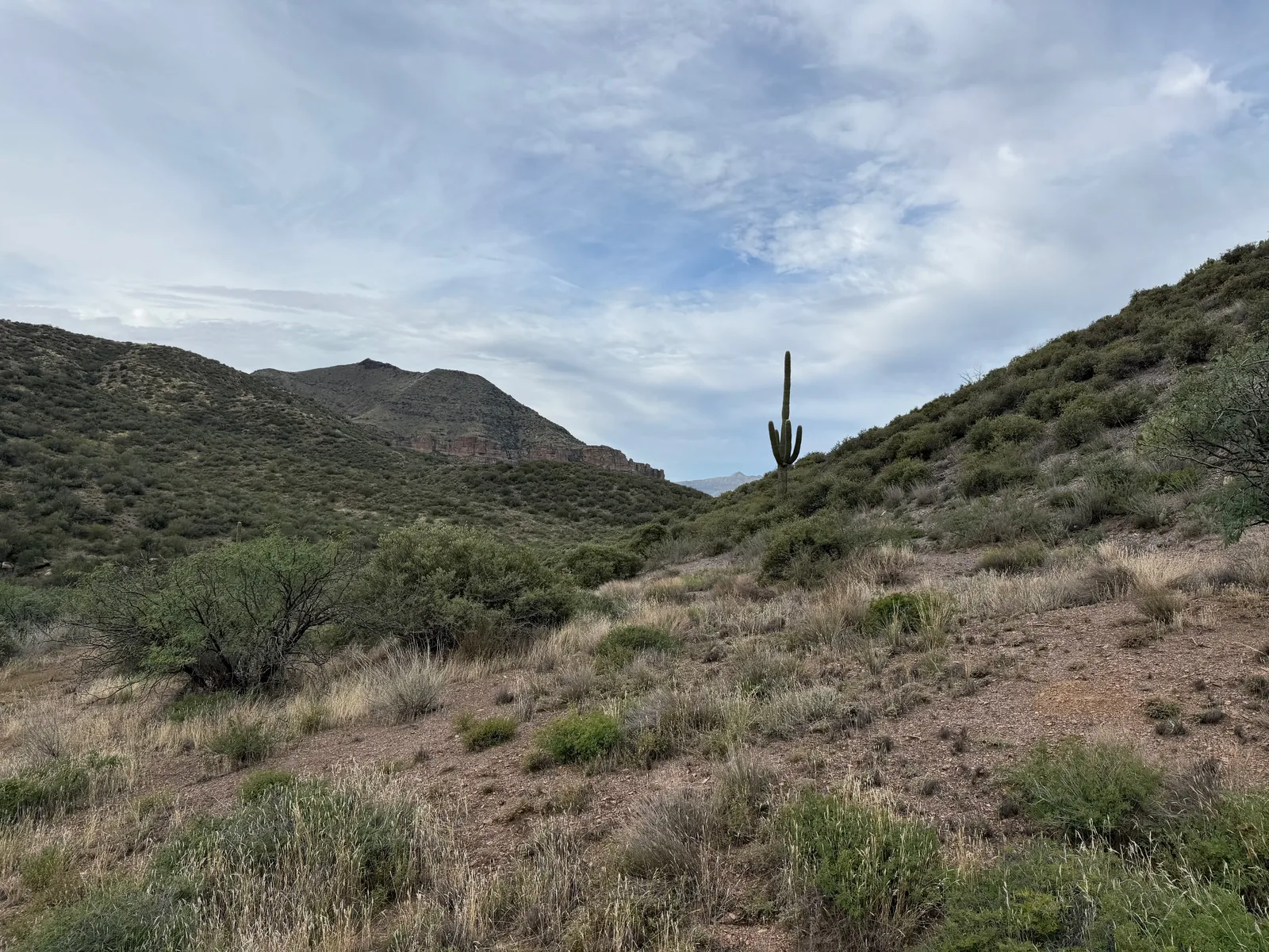
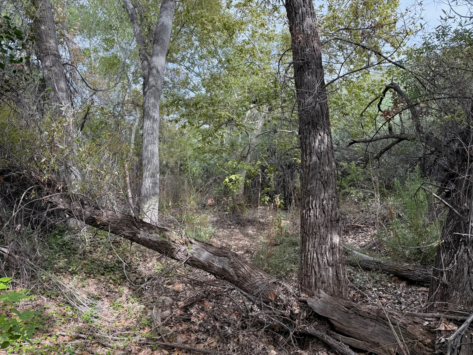
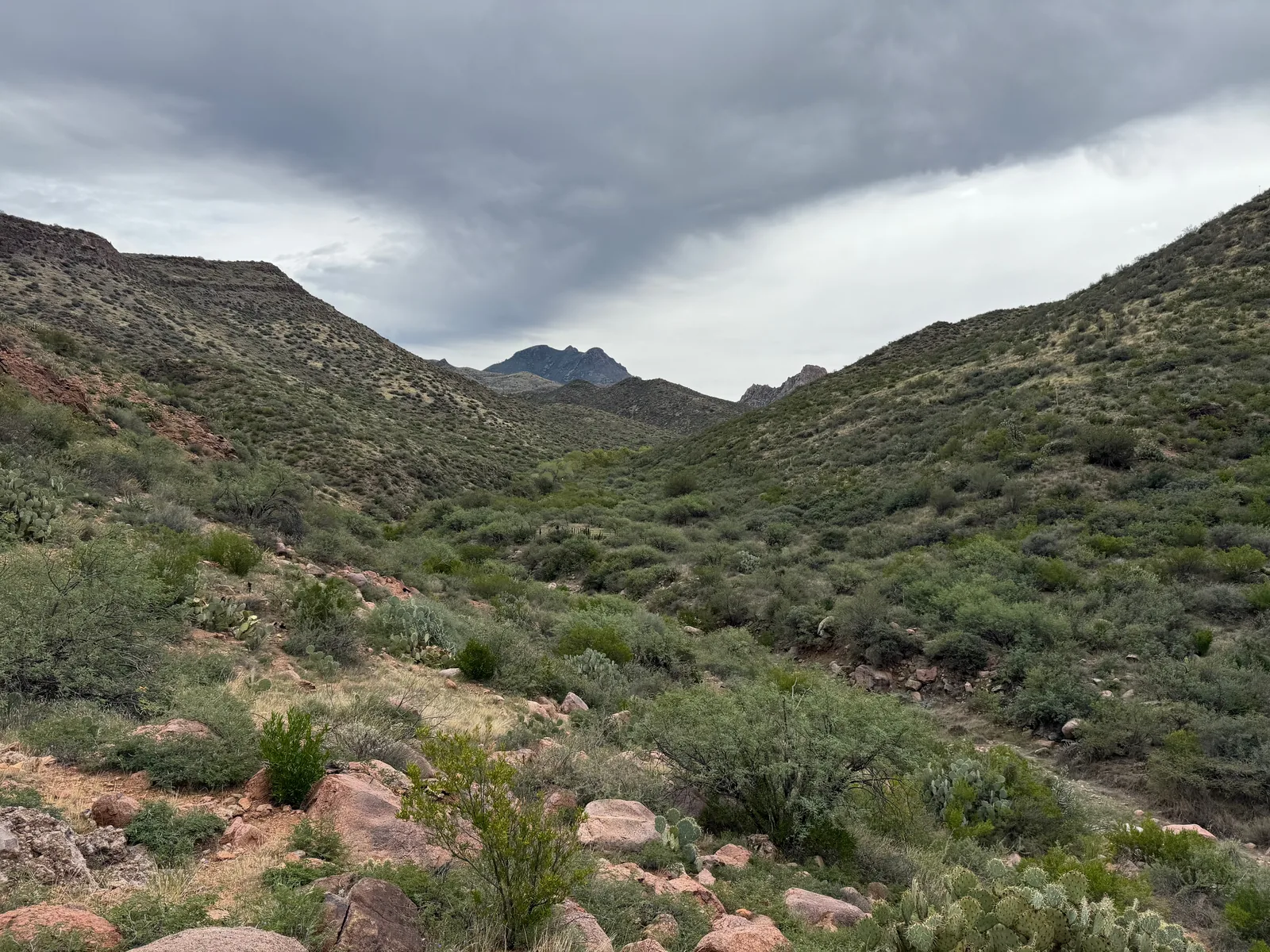
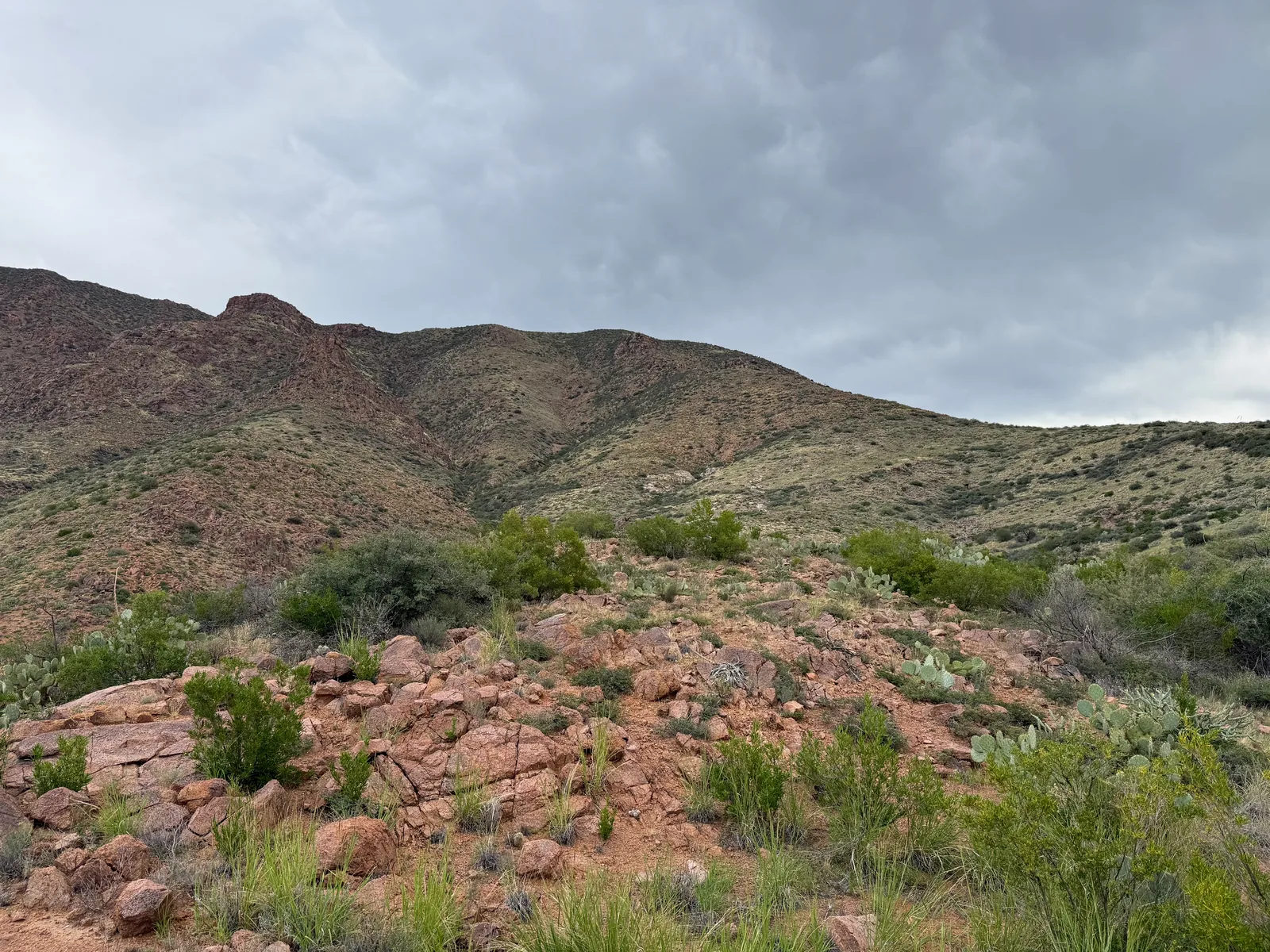
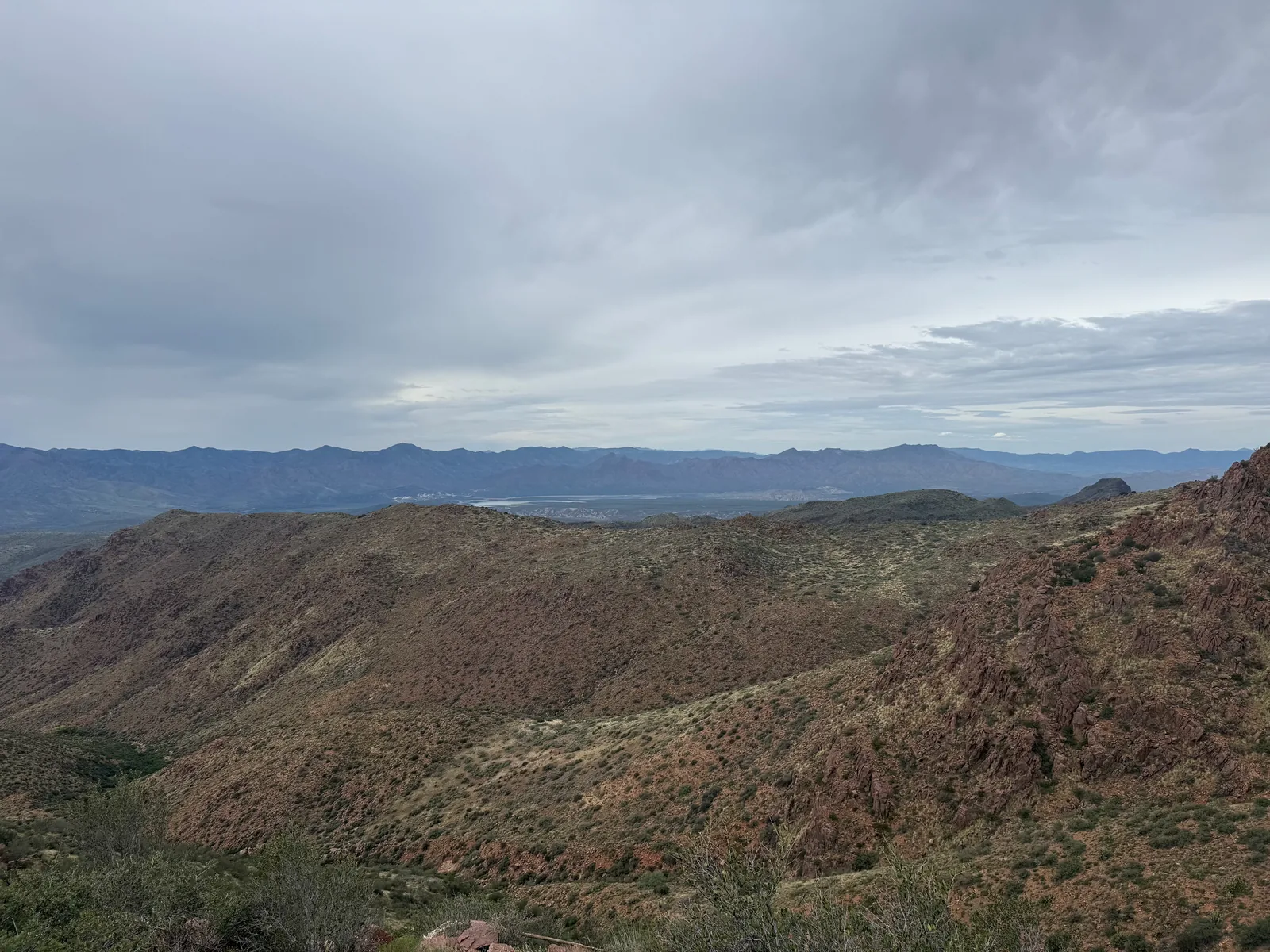
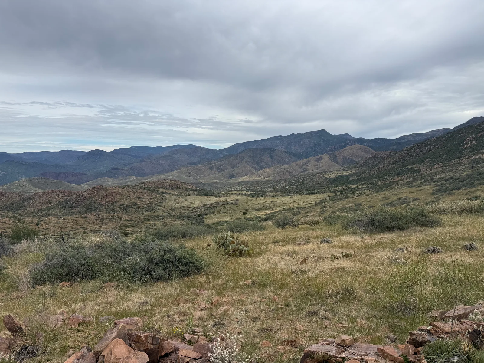
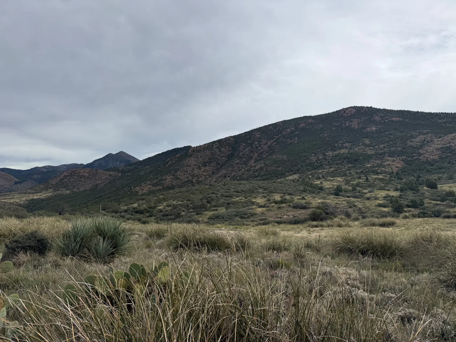
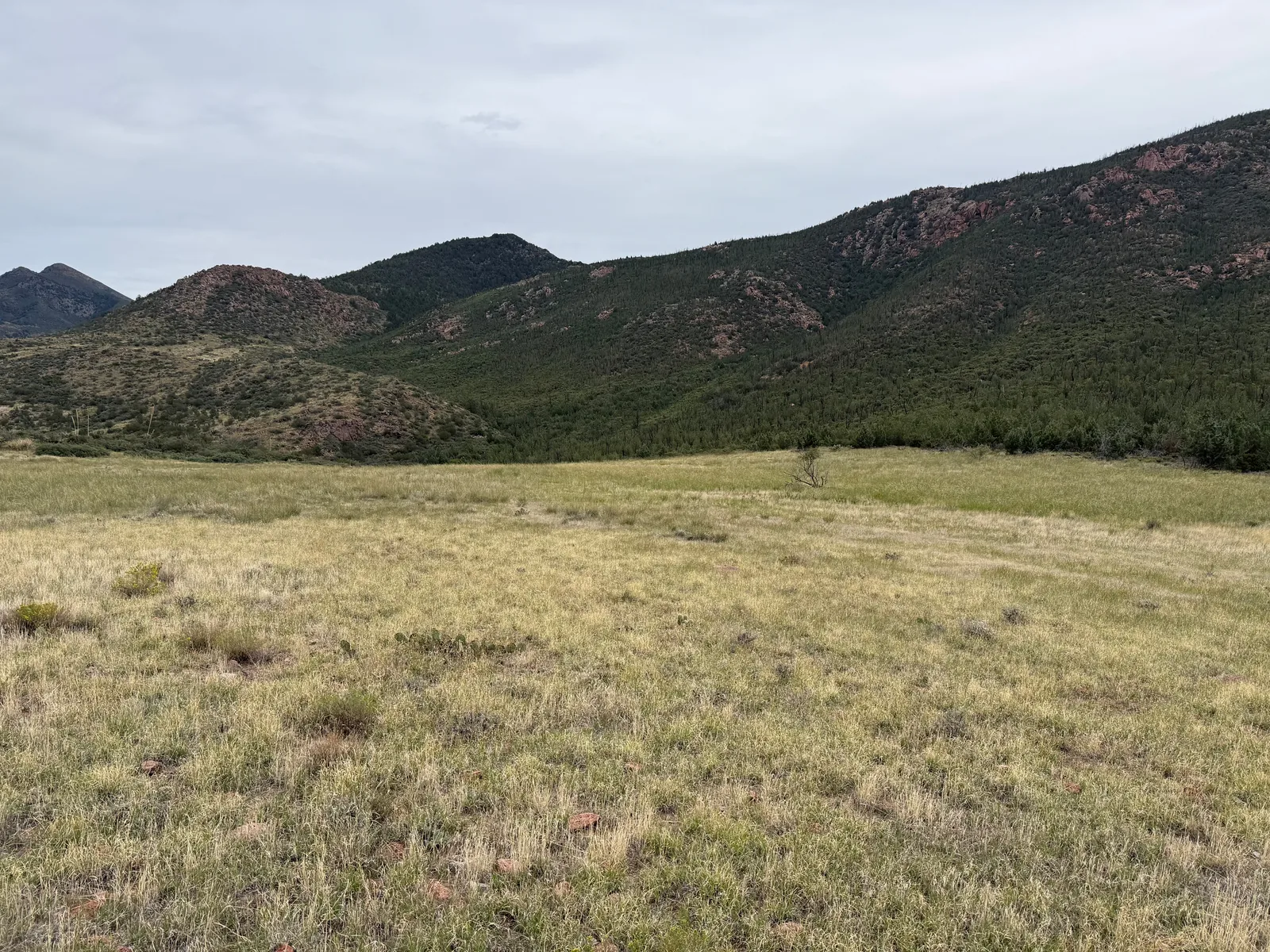
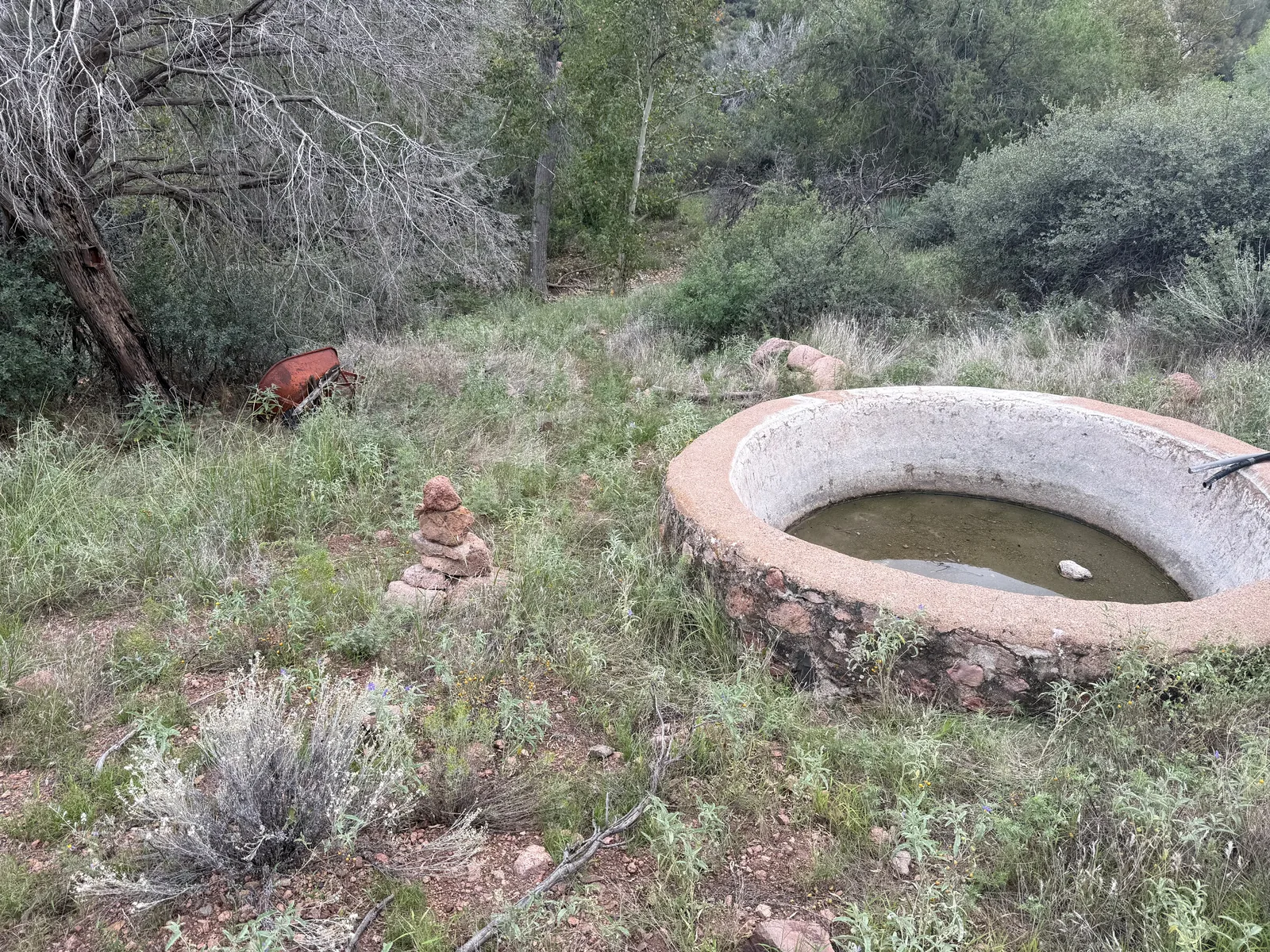
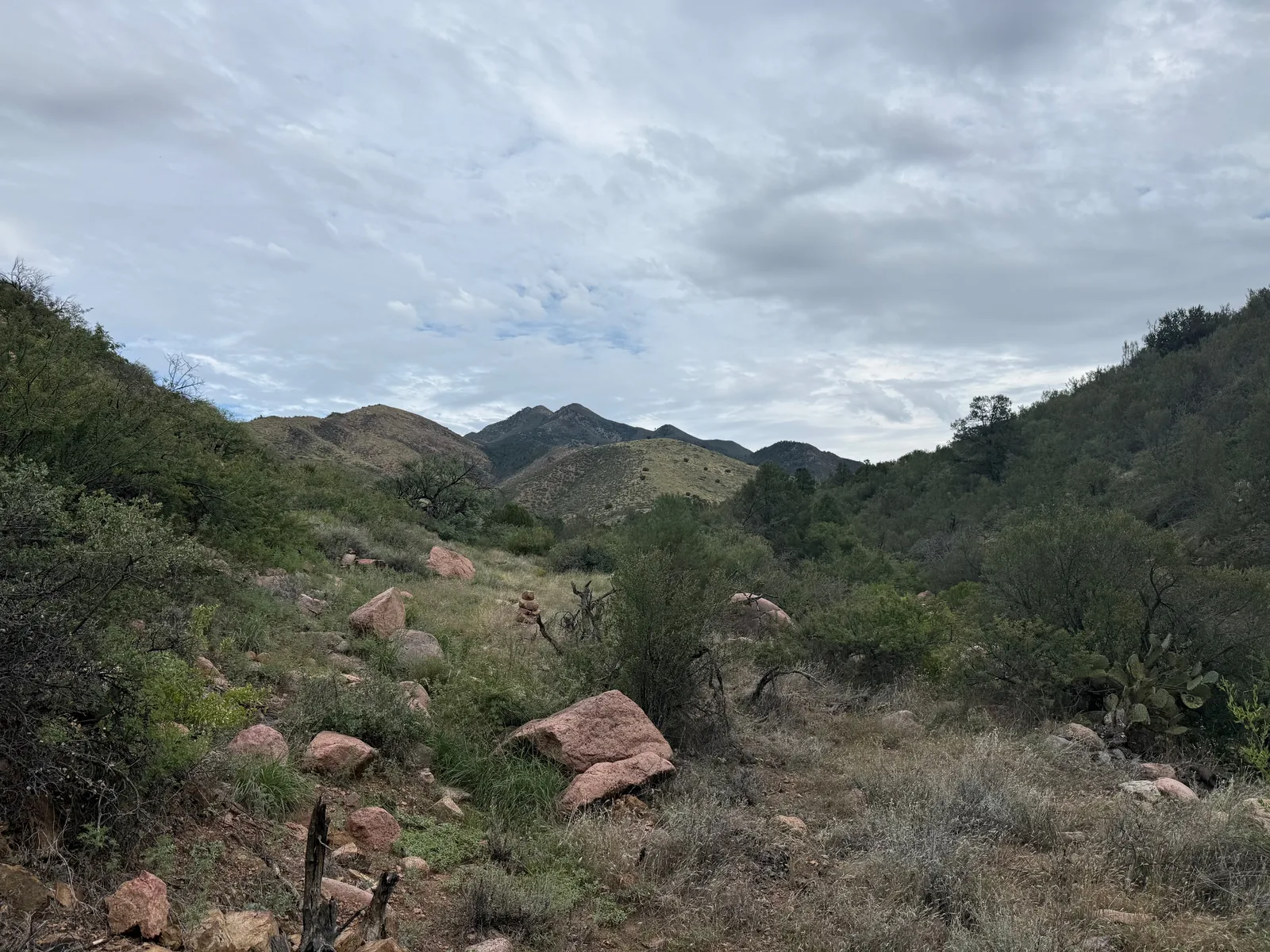
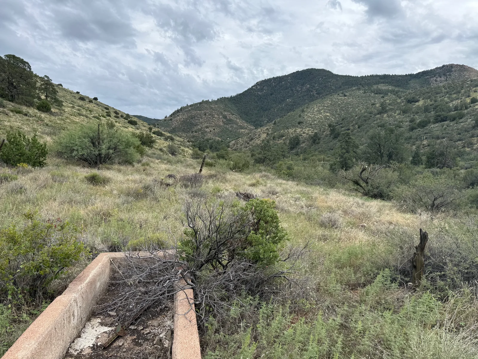
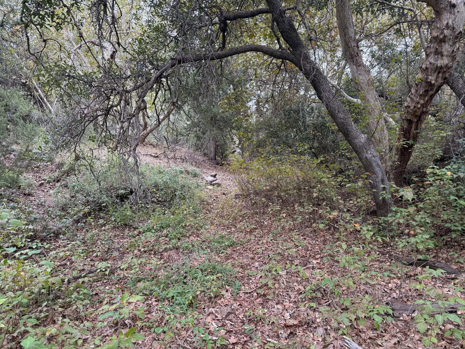
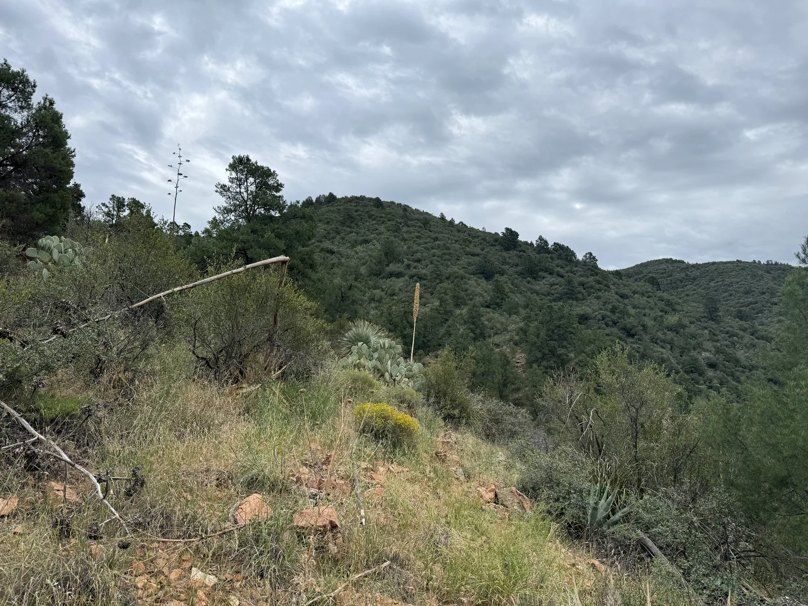
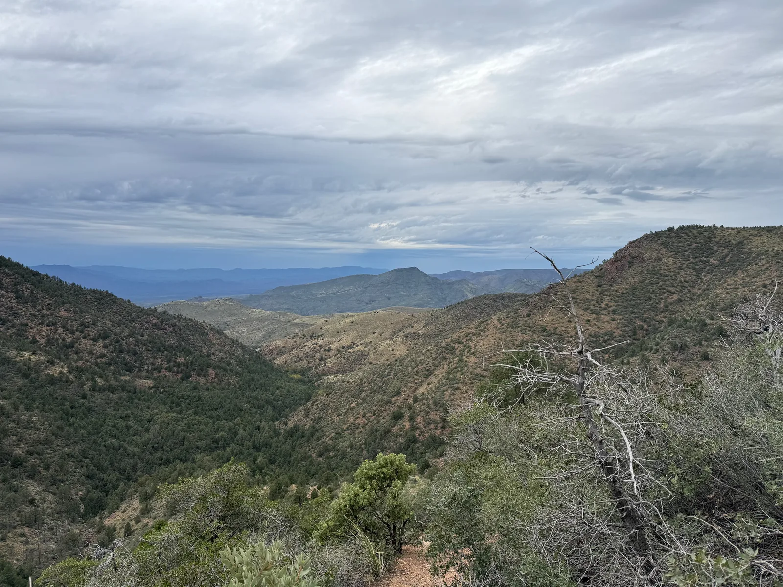
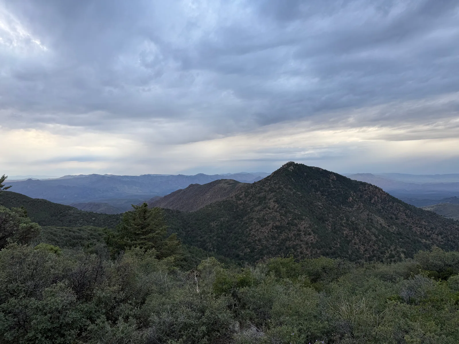
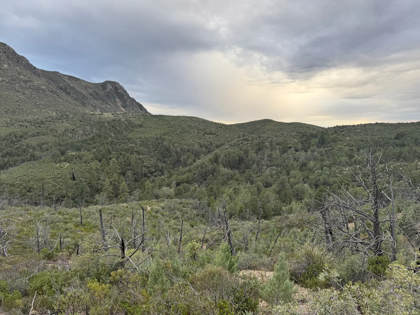
Along the way
Spring 3
- Round Spring
- Seep near Loading Corral
- Squaw Flat Spring
Creek 1
- McFarland Canyon at Sheep Creek Trail
Ruin 1
- Sheep Loading Corral
Trailhead 1
- Mormon Grove Trailhead
Junction 2
- Copper Camp / Sheep Creek Trail Junction
- Sheep Creek / Saddle Mountain Trail Junction