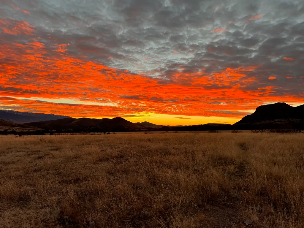
Stepping out of my car, legs stiff from the long, dark drive, my breath caught in the bitter cold at Deer Creek Trailhead. I knew it would be cold, yet this was absolutely frigid. It was January of 2022, less than a year since my last visit to the Galiuro Wilderness, where I had been surprised at the relatively warm (and very dry) land out here. Today there was no warmth outside of the small, quickly dissipating bubble of my car. Moving with frenetic speed I donned a few extra layers, then shouldered my winter-heavy pack, and started trudging up the road.
Today was an exciting day, the next step in my “Galiuro Wilderness Project”. Today I would be exploring new trails, expanding my understanding of this rugged wilderness, even as I centered it around the keystone out here, Powers Garden. Last time I had entered the Garden from the north via Sycamore Canyon, and this time I’d be coming from the southeast, via Rattlesnake. Each visit to Powers Garden had to be earned - it is guarded by a tall ridgeline on both the east and the west (although Sycamore Canyon skirts around this ridgeline in a roundabout way). The easy way to get to Rattlesnake was High Creek Trailhead to the south. I wasn’t going the easy way.
Deer Creek Road climbs a bit beyond the trailhead before ending at a gate, private land and a ranch sitting beyond it. Right before that gate, though, was a small, inconspicuous jump stile breaking the wire fence. There was no sign here to mark the start of Paddy’s River Trail, only a small “Foot Access Only” sign with a few government logos printed on it. This wasn’t a surprise. Paddy’s River Trail had been decommissioned, as far as I could tell, for at least a decade. I stepped over the stile and, double-checking my GPS, cut a bearing to the south-southeast, following a cattle trail that I hoped followed the footpath that came before.
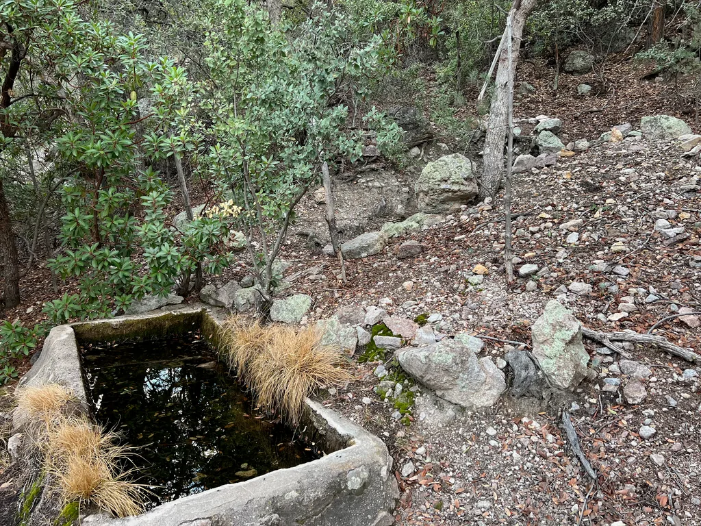
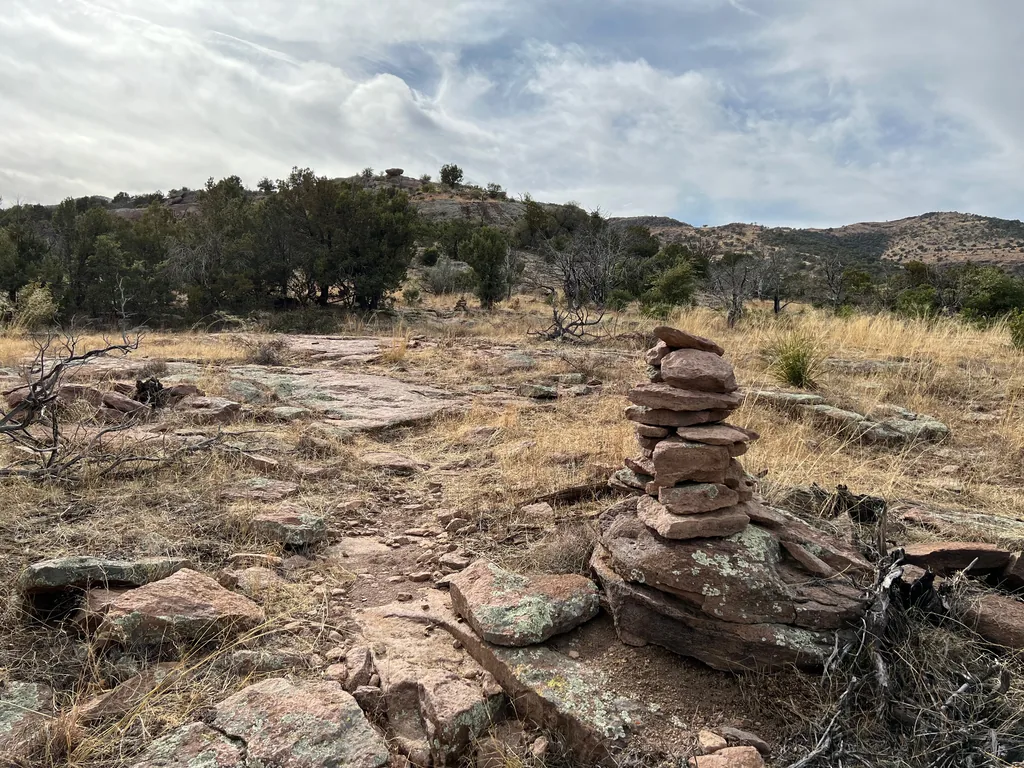
I walked with a brisk step, letting my pace and the slightest of inclines warm me, hoping to shed some layers before the thick overgrowth started. Plus, I wanted to avoid any run-ins with the nearby ranchers. While I didn’t think they’d mind me on an old trail, I wasn’t totally sure if this pasture was state-owned and leased, and it definitely didn’t get enough traffic for my visit to be common. I passed by a large tank for cattle, spooking a few sleeping ones, and then followed a two-track as it curved around, doing my best to stick to what I hoped was the old tread. Then the two-track cut east and a single, lonely cairn sat in front of a wall of manzanita, just barely broken by a hint of a trail. Time to get serious.
Paddy’s River Trail follows Paddy’s River westward for the most part, using the narrow canyon to gain elevation before zipping up a steep hillside to summit the ridgeline. Before it turns west, though, the trail leads south to a small pass, starting near Deer Creek Trailhead and sliding along the side of that ranch. There was a mile before I reached the pass, a mile that wasn’t on an open grassy pasture or on a two-track, and the manzanita crowded that mile. I could make out the tread, which had held up well, and a few helpful cairns led me through the tough parts, and only a handful of stretches, specifically near Limestone Spring and the pass itself, reached out to claw and scratch at me. With the slightest bit of sweat and some curses I reached the pass, and dropped a layer, somewhat surprised at how well this decommissioned trail was still defined.
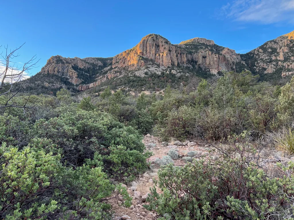
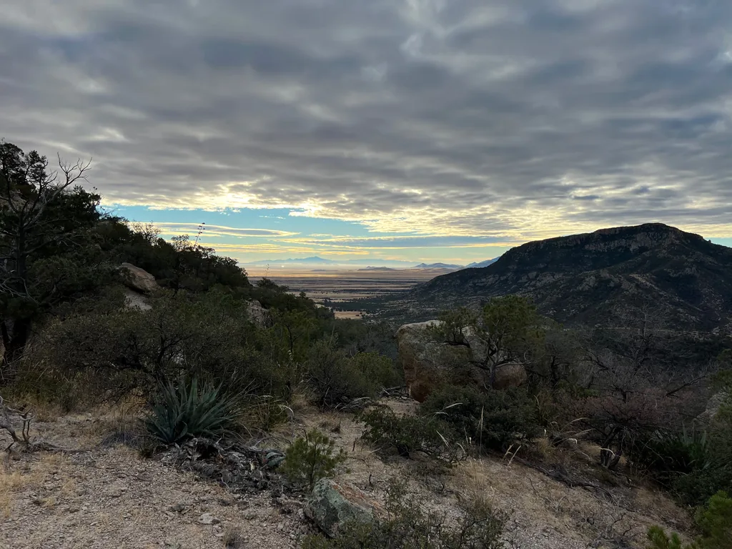
Dropping down the other side of the pass was quick and hard on my knees. This side, the south-facing side, had much more grass and rocks. Either the direct sun kept it clear of manzanita, or the steeper side washed some of the soil away. I appreciated it nonetheless, a break from the brush, even if the widely-spaced cairns, rocks, and dry grass made it difficult to follow the trail, and I was forced to check my GPS frequently.
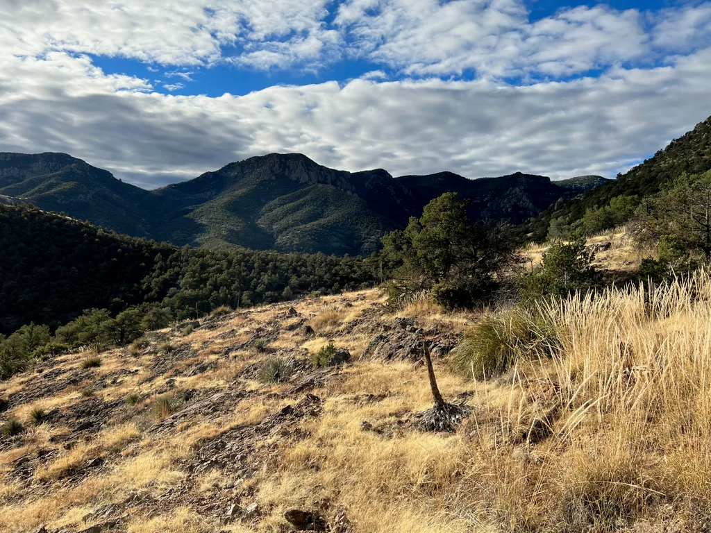
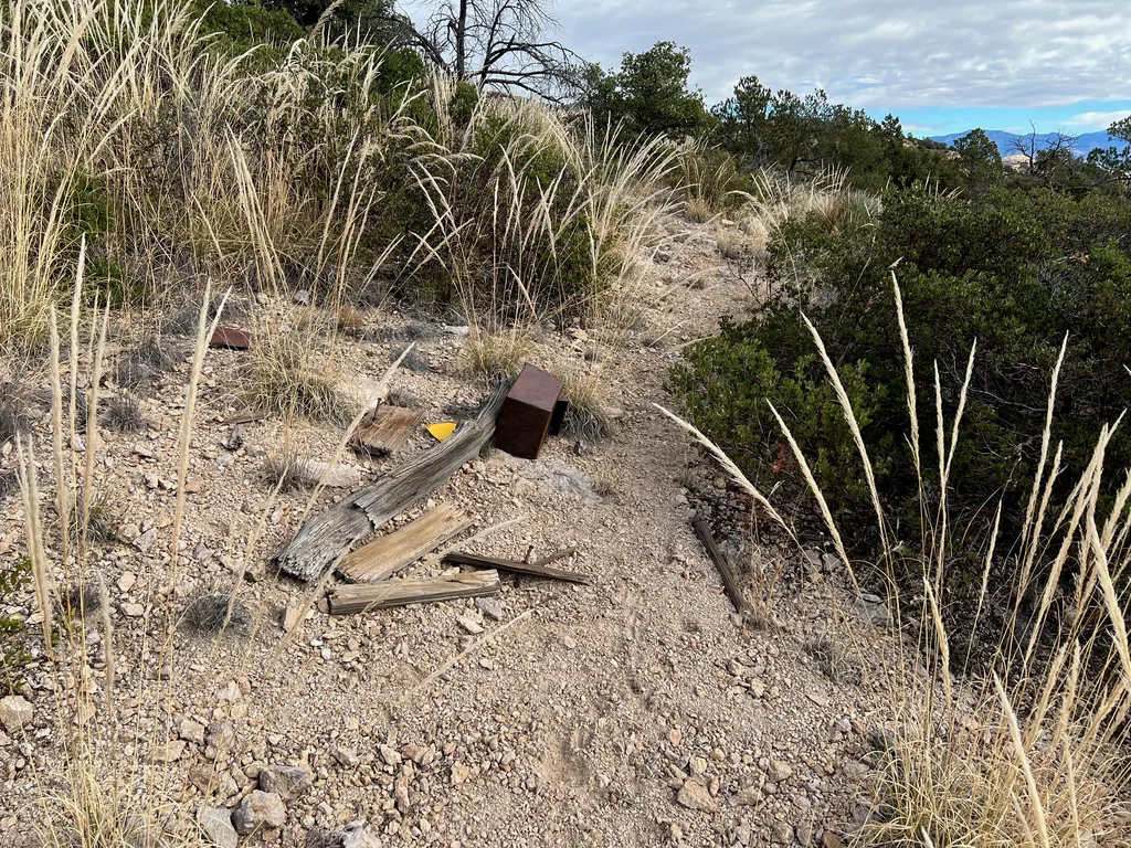
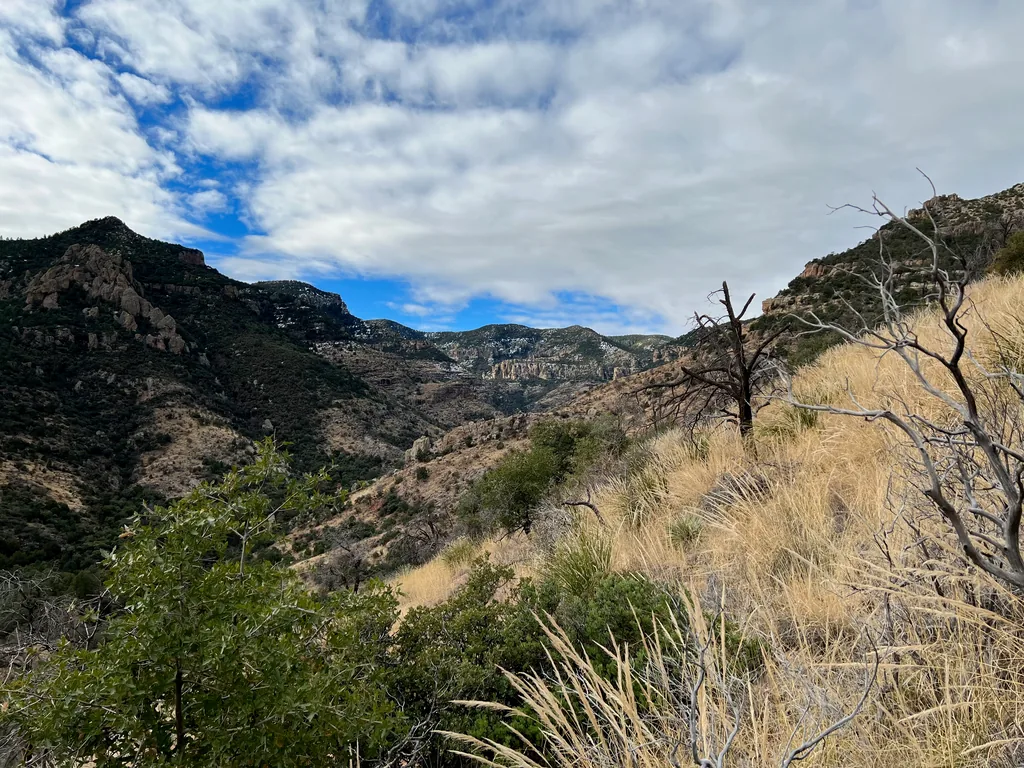
Now with the pass… passed… the next few miles of trail swung lazily to the west, tracing the contours of numerous small drainages as they flowed into Paddy’s River. Each bulge out gave me fresh chances to find the hints of tread and, if I was lucky, a cairn or two, where I could get realigned with the trail. Each cut in was choked with short trees and thick clusters of brush that diminished any chance of staying on the trail. This pattern kept repeating, slowly wearing on my nerves, while the sounds of a happy creek below teased at the edge of my awareness. I was very tempted to just give in and drop down and follow the creek, although I suspected that this decommissioned trail would be in even more disrepair along a flowing creek.
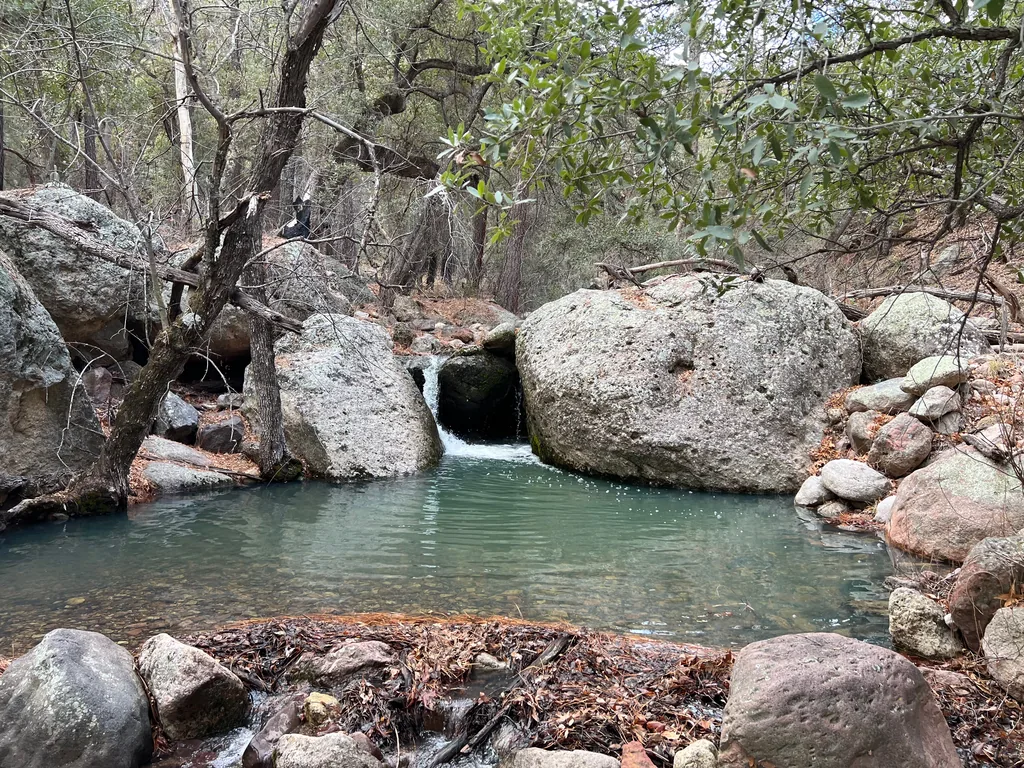
My suspicion was incorrect. Getting down to the creek was a bit of a scramble. I had lost the trail for several hundred yards, and instead of wasting time trying to find it, gave in and followed the siren song of the flowing water, dropping down to Paddy’s River itself. A water refill sounded great, too. I met the creek right at a deep, green-tinted pool, stretched out my legs, and enjoyed the scenery as I refilled both my stomach and water bladders to capacity.
Beyond the pool was a wide trail with just a hint of overgrowth along the tread. Refreshed from the pool and its crisp, clean-tasting water, I made quick progress along the tread, which almost looked like an old two-track if you squinted at it the right way. No idea where a two-track would have exited, as the downstream canyon seemed too narrow for such a thing, though there is enough mining history in this area to support building a road. I followed it up, noting with dismay when it bent with a tributary while my trail continued straight ahead, and reluctantly pushed through a quick annoyance of brush to the base of a large, grassy hillside. It was time to start the real climb, I guess.
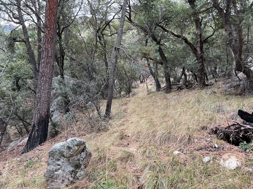
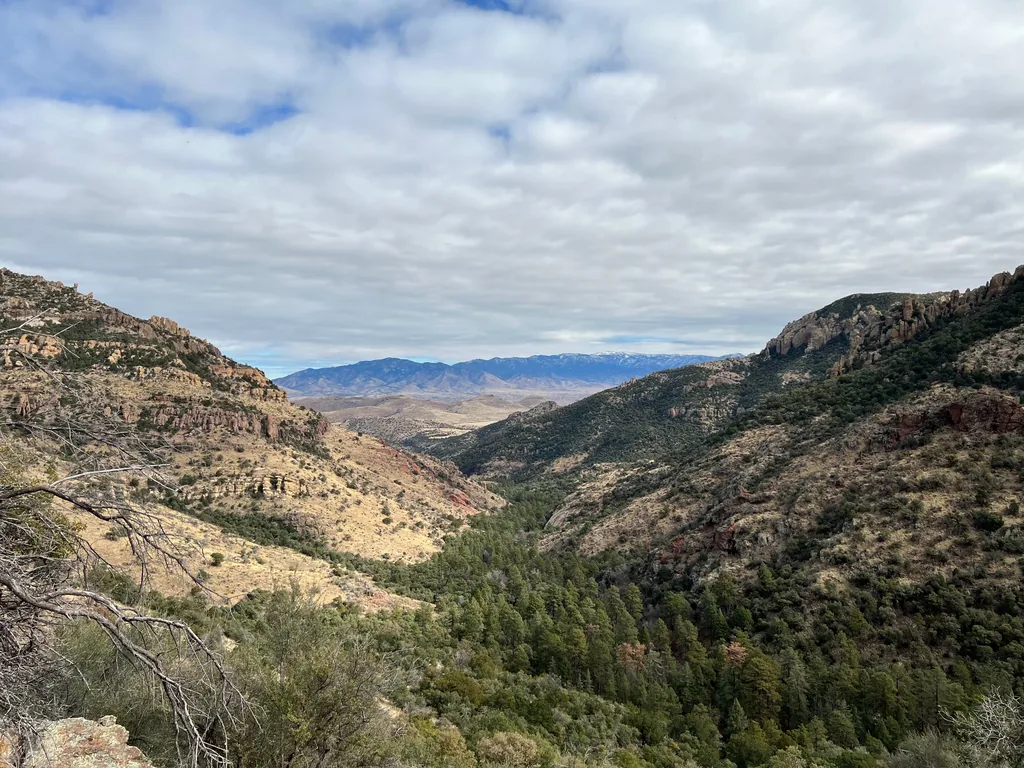
A mix of rocky tread, game trails, and sporadic cairns marked a switchbacking zigzag up the steep hillside. I struggled up the hillside, leaning heavily on my trekking poles, winded from the long morning and my heavy pack. This is fun, right? I crept up the slope, doing my best to bypass the rock ridges that showed up at the top, and eyeing up the snowy slopes above. That was one of my fears on this trip, hardpack snow and ice in the upper elevations, and I had some crampons that I hoped to keep safely stowed in the bottom of my pack.
Eventually the grassy hillside subsided and the brush took over, a solid wall of vegetation that blanketed the hillside and had no discernible path forward. I tried to keep to the trail as close as possible, referencing my GPS frequently, though I wasn’t able to find much in the way of tread, cairns, or anything out here. Some orange flagging tape, sure, likely from a hunter who had also tried to hack up this section. As I crawled under brush, sometimes on all fours, other times flat on my stomach, doing my best to weasel my way further up the hill through the thick manzanita and scrub, I cursed past-Jacob, who glossed over this dark green section of the route and probably thought it was just a pleasant stroll under tall trees or something. Stupid past-Jacob.
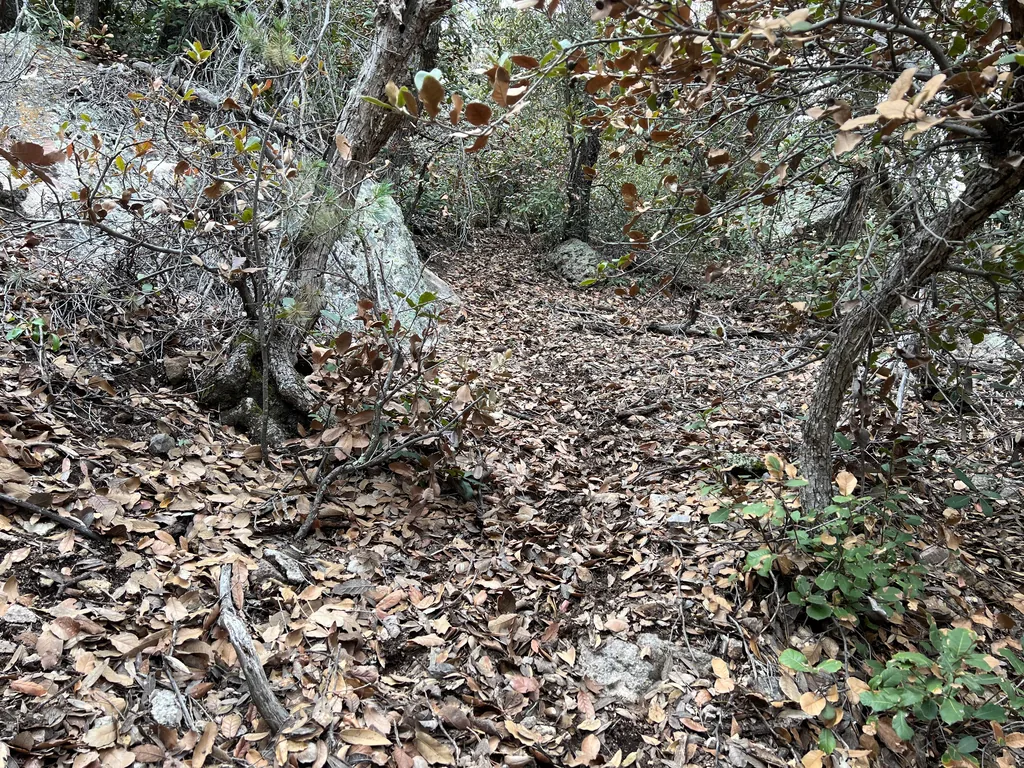
This section of the hike seemed to last forever. In reality, it probably took me about an hour to go a mile, which is slow yet not “forever”. During that time I found a few failed firestarters, those plastic ping-pong balls with a hole burned out of one side. There was a wildfire here, the Oak Fire in 2014, that had burned large sections around Kennedy Peak and the lands to the west and north. Maybe they were trying to spread it this way to burn out some of the thick brush.
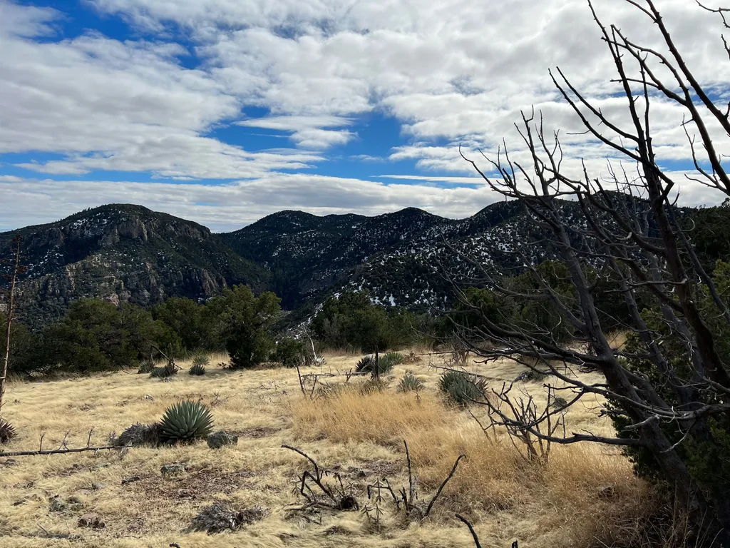
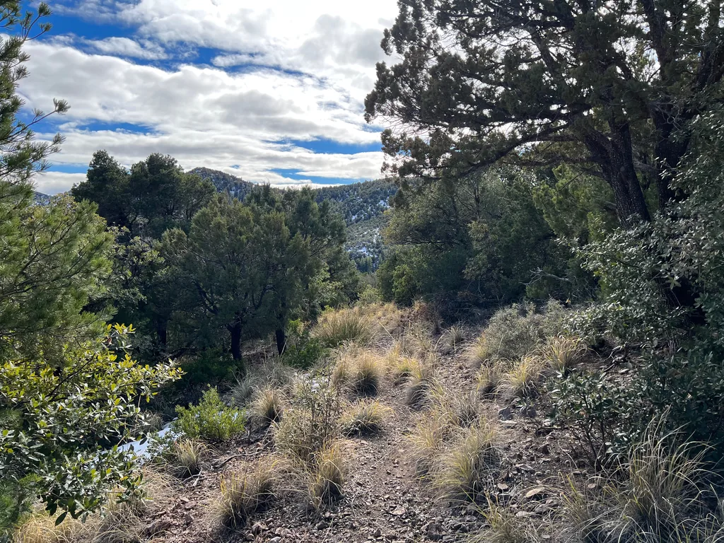
With a loud crash of brush and flailing of limbs I finally burst out on the East Divide Trail, looking for all the world like a crazy person, with bits of debris and leaves sticking to my clothes as I stumbled onto the wide, cleared trail. A real trail! I was a few miles south of Corral Canyon Trail and where I had exited the Galiuros last, and first I gazed that way, remembering the tough ascent and descent of Kennedy Peak. Today my route lay in the other direction, deeper into the wilderness, and after a short break to wash my dusty throat with fresh Paddy’s River water I headed south.
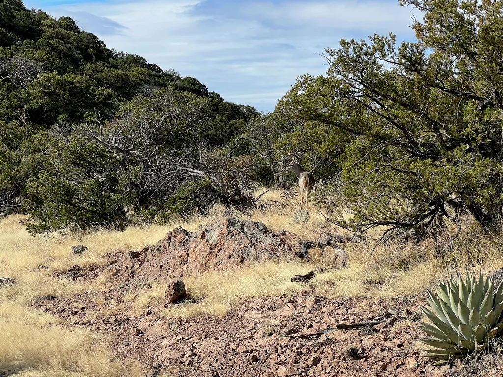
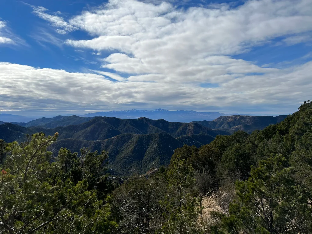
East Divide Trail was an absolute treat compared to that bushwhack. First there were mule deer, enjoying some vegetation with little fear of my presence. Then there were the epic views to either side of me, a snow-covered Mount Graham to the east and, beyond the western Galiuro ridges, a distant Santa Catalina range that looms over Tucson. Finally, there was the trail itself, wide and cleared, gently rolling with or sliding alongside the rugged top of this ridge. My legs were jelly after the haul up here, and I did my best to ease them along the climbs and stretch them on the descents.
There was snow up here, which I had been eyeing up from below and worried about. Thankfully, it had been several days since the last winter storm, and most of the exposed trail and rocks had already melted off. Only a few north-facing slopes, slightly protected from the angled winter sun, had me trudging through a few inches of stuff. Today I was wearing my normal trail runners, choosing agility and comfort over the extra insulation of a boot, and a few puddles combined with the snow sections had my feet just a little damp. Not great, with the cold temperatures, though not alarming.
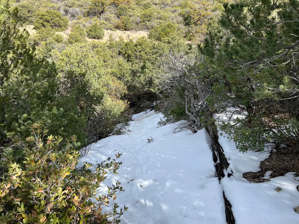
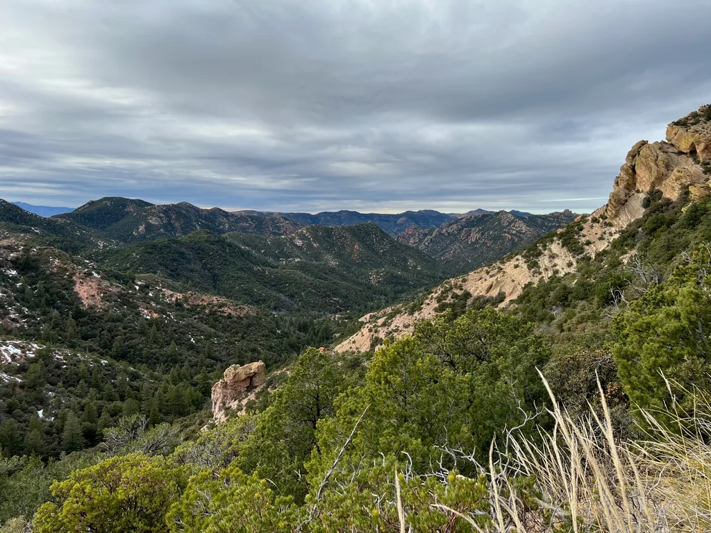
With some surprise I saw tracks when I reached the Rattlesnake Trail junction. That easier route from High Creek? Apparently some other winter hikers, with a dog, had been out here, and had hiked down this very same trail, probably on a quick overnight trip to Holdout Spring. The tracks led in and out, so I didn’t expect to see anyone else out here. They did make the descent a bit tricky, the steepness combined with pressed snow that was borderline icy.
My tired legs enjoyed the steady downhill, and I made quick time down the quick switchbacks. Rattlesnake was just a bit more overgrown than East Divide, greedy, spiky brush reaching out from either side, trying to envelop the tread. After Paddy’s River Trail (and some of my Mazatzal hikes) I laughed it off and pushed through. There was a tricky section of trail that was all but washed out, a very steep, gravelly slope with no discernible tread along it, where I carefully scrambled along, willing my feet to find grip when my eyes thought there was none. After that the trail became more overgrown, tighter switchbacks that, at times, were difficult to make out in the thick brush. I was getting tired and somewhat crabby by now and kept pushing through, eager for a break and water refill at Holdout Spring.
The last mile or so to the spring dragged even as it flattened and eased in difficulty, a pleasant, woodland stroll over a thick blanket of leaves. There was some brush, and the trail was difficult to track, but the creek down here was trickling along with a happy burble and kept me in the right general direction. Finding the spur junction for Holdout Spring I turned, willing my legs up the slight uphill, and stumbled upon two backpackers who were already set up for the night, bundled in warm layers and eating an early dinner. Guess I misread those prints earlier! We talked briefly, me eager to filter water and them to return to their dinners, but it was nice to swap information about this wilderness with others, especially these two, who had been hiking out to this spot annually for years. Wishing them well, I filtered up to full capacity from Holdout Spring quickly, passed them a second time, and pushed forward, wanting to set up my old campsite before darkness fell.
The next two miles were a return to the bushwhack. Rattlesnake Trail from Holdout to the Powers Cabin connection was an annoying thing, often bucking high up on the bank, and mostly obscured by young saplings with clinging branches, and I pushed on with a rushed annoyance. My plan was to camp either at Holdout Spring (occupied) or near that Powers Cabin connection, where I had marked a few promising sites. Powers Garden was not an option, and not just because it lay too far ahead for me to reach in the daylight. Every report I had read of this wilderness complained of the cold sink in this valley, especially at Powers Garden, and the temps were already low today and dropping with the late afternoon sun. I had planned for sub-freezing and that was about it, and hoped that the relative height above Powers Garden at either of my planned campsites would keep me warm enough.
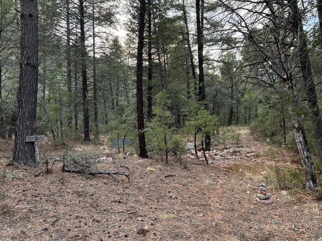
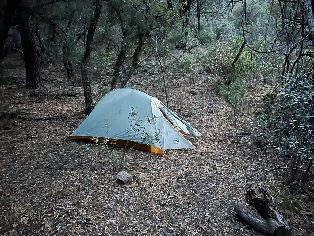
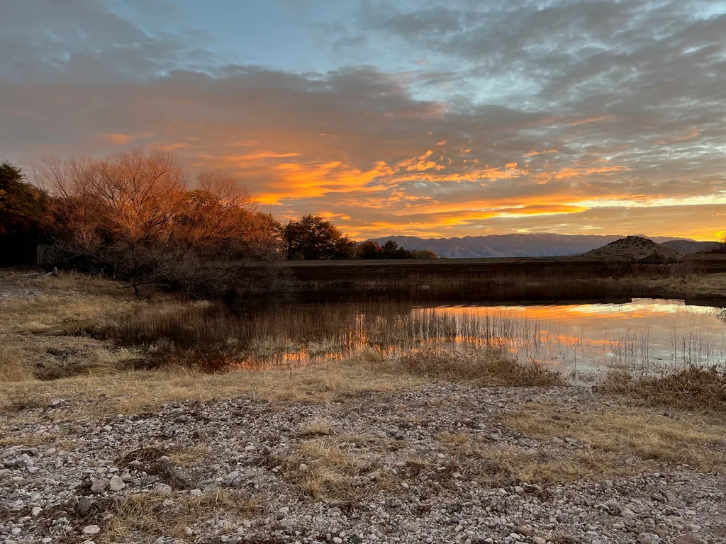
There wasn’t much at the connection junction, so I carried on a short distance and found flat land and a few fire rings near Rattlesnake Spring. Good enough. I set up my tent with shivering hands, delaying the layers until some of my sweat cooled and my sleep system was set up. Not only did I have a tent today (instead of my usual cowboy camp), I had an emergency blanket wrapped around my sleeping pad, which had an okay temp rating, and a brand new quilt rated for 20°. Thought about starting a fire in the waning light and opted not to, and, after gobbling down a quick hot dinner, I retreated into the tent, exhausted and freezing. The layers kept me warm enough through the night, especially the tent, and my water had only the thinnest of ice layers when I got up before the dawn, impatient to continue moving down this trail and continue exploring the interior of the Galiuros.
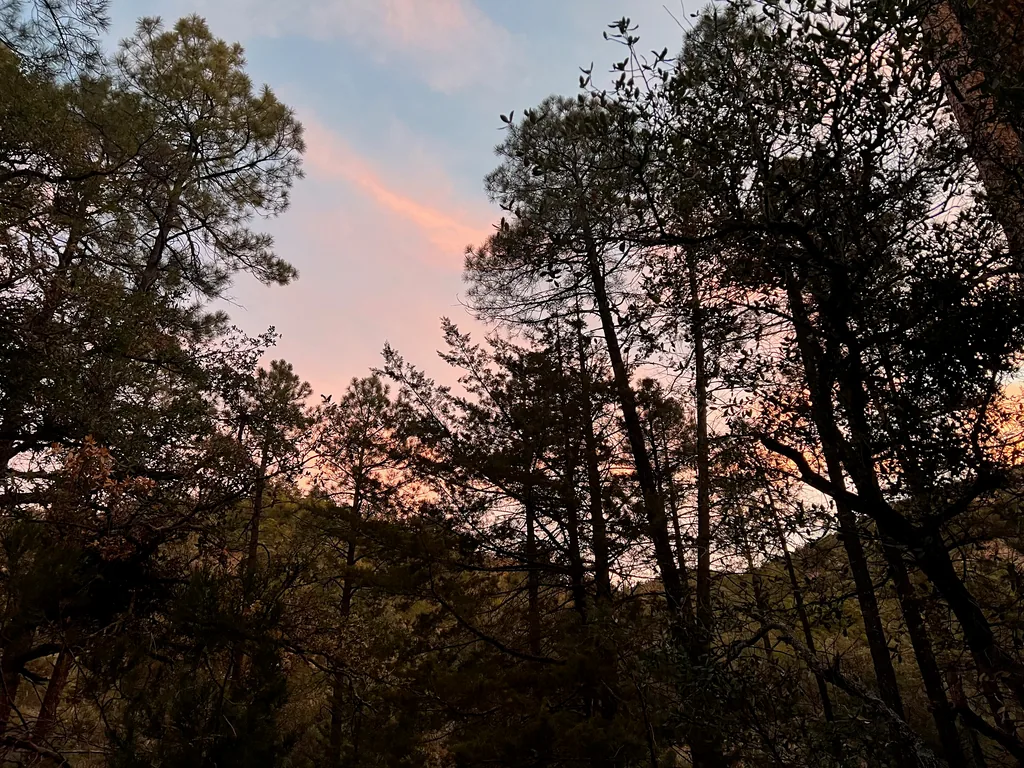
Breaking camp and donning every layer of clothing I had, I started down the trail, my pack feeling slightly lighter. Today was all about pushing through to Powers Garden and then the long exit via Horse Canyon and Tortilla Trail, which is one of the standard entry hikes into this wilderness, leading me to hope that it would be much easier than yesterday’s bushwhacking. First, though, my Keweenaw roots just had to check out some of the nearby mining relics. This area had a rich history of gold exploration culminating in the Powers Family incident, and my campsite was near some of these rusty remains.
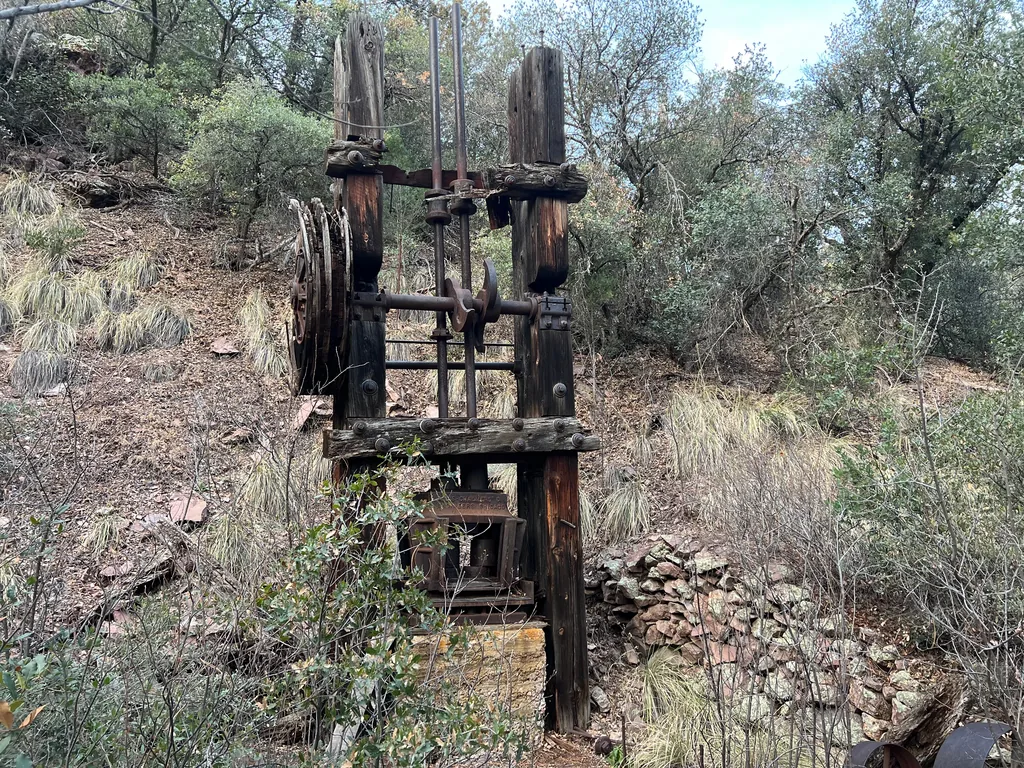
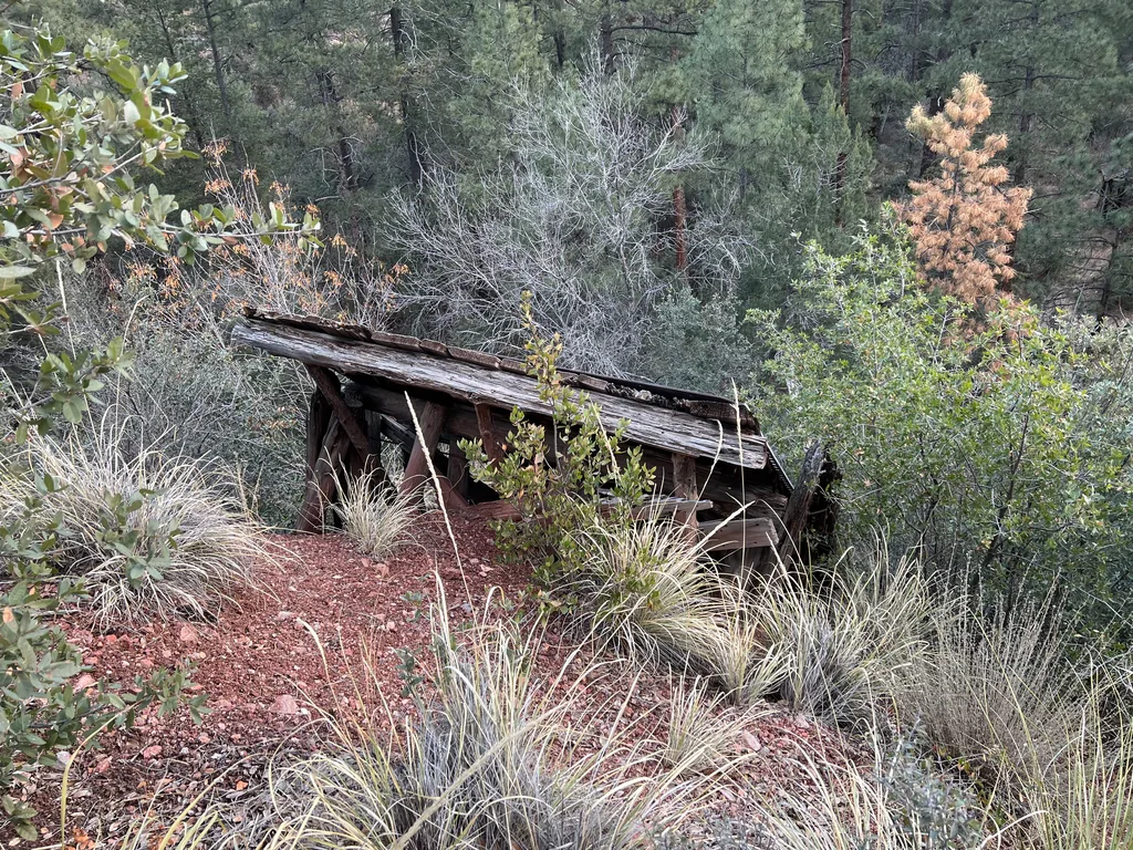
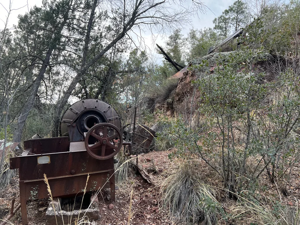
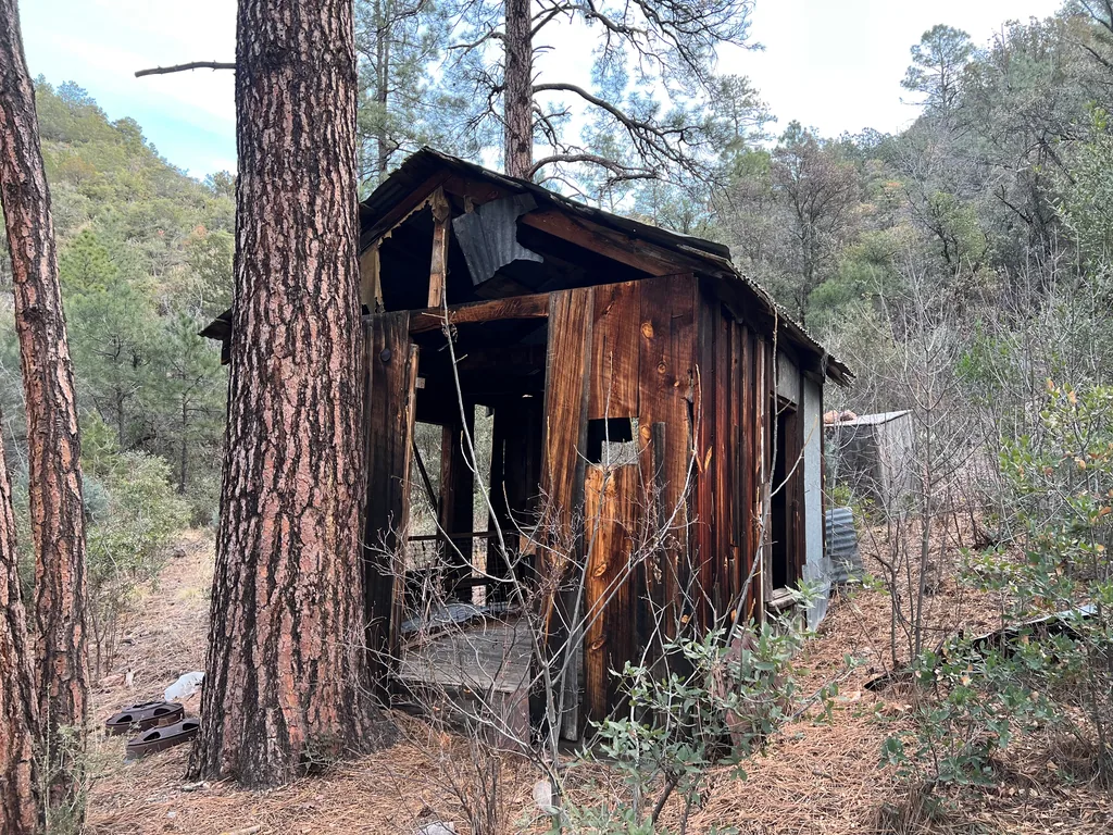
While I didn’t find any actual shafts (I had passed some of those yesterday), I did find plenty of old, heavy equipment, and wondered out loud how the heck they hauled them so far in here so long ago. Sure, there used to be a road in from Klondyke, up and over Rattlesnake Mesa, which had deep roots with the Powers Family. Still… it was darn impressive. Did they haul this in by horse cart? Or an ancient pickup, one that we would barely recognize as a functional hauler today? That, plus the old buildings, had my mind whirling with how this area could have looked a hundred years ago, with a small village’s worth of people living out here. Shoot, there was even a saloon out here at one point, and a “Hooker Cabin”… I could barely imagine a small, burgeoning settlement out here, let alone a handful of people scraping out a consistent living. They were much more resilient than me, shivering in my technical, optimized layers, merely passing through before retreating to a warm, multi-story house in the city.
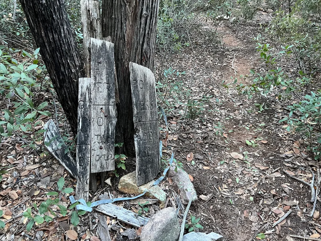
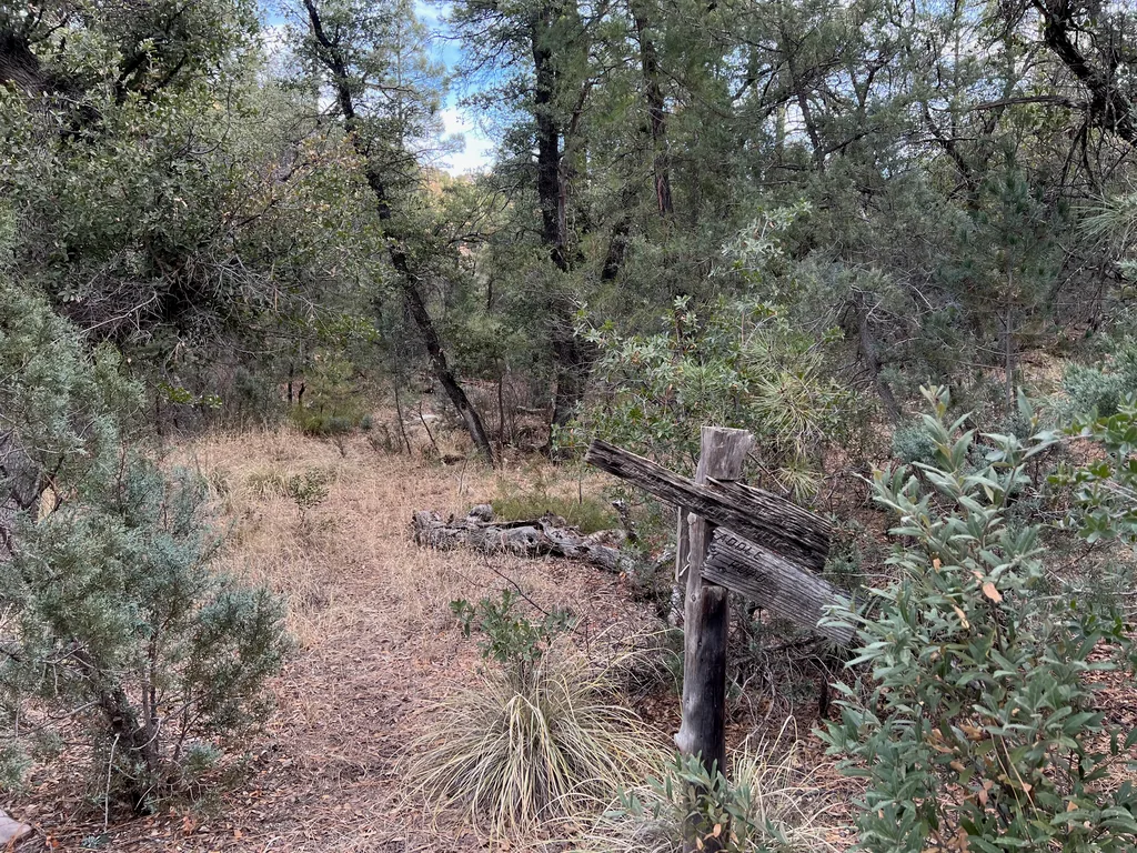
With my Keweenaw mining roots satiated I retreated to the main trail. Was this Powers Garden? Or a continuation of Rattlesnake? I wasn’t totally sure, the trail signs disagreed and the forest service information was woefully out of date. Either way, I was eager to hike fast and eat up some distance, still teeth-chattery with the morning cold. Hiking up and down the hillsides hunting for old mining equipment had warmed me up slightly, although there’s nothing like a fast pace on a good trail to warm up the blood.
This trail was in wonderful shape compared to the descent down from the East Divide Trail and the continuation beyond Holdout Spring. It’s part of that road from Klondyke, the one that the Powers Family made, and I’m pretty sure it goes even further to the south, behind me now, back to Kielberg Basin and Long Tom Mine. There were a handful of large trees fallen across it, with well-worn bypass paths around, and it crossed the trickling creek to skip past steeper banks. The miles slipped past, the junction with Corral Canyon from last year, and I neared Powers Garden and was shocked to see visitors waiting for me.
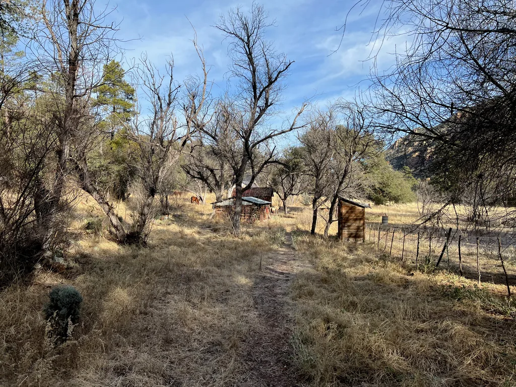
Two horses and their riders were hanging out here, and we exchanged pleasantries and a few words of advice before pushing on. Perhaps I was too quick to judge the popularity of this wilderness. Two different groups in two days, that was two more than I had expected on a wintery weekend. A bit chilled from standing still during our chat, eager to start the next trail, the return back to the trailhead, I pushed onwards, soon finding the junction with Tortilla Trailhead just past the corner of the horse corral. It didn’t take long for the steep climbs along Horse Canyon to re-warm me, and I huffed and puffed and dropped a layer before stopping, a little frustrated by how quickly the climb winded me. Yesterday’s long day had taken a lot out of me.
Swinging my pack off near a clear pool at the bottom of the canyon, I boiled water for oatmeal and coffee, filtering new water to refill my containers, and tried to rest my legs. Sure, I was looking forward to getting back to the car, yet there really wasn’t any rush. I had all day to get back to my car. There were only two or three big climbs left, and I’d rather feel good about them than try to push too fast and burn out. Sitting back against the rock, sipping hot coffee and munching on breakfast, letting the trickles of Horse Canyon fill my ears, I appreciated this wilderness on a new level. My first visit had been a bit frantic, finding multiple water sources dry, and I was anxious about returning. Today, with the snow above and ample water below, things felt much more balanced and welcoming. It’s a hard wilderness to love, sure, harder than the Mazatzals were with their epic sweeping views and numerous water sources. Maybe I just needed to be more patient and meet it where it was, like an unbroken colt or a proud bull.
Okay, time for the first big climb, the haul out of Horse Canyon. The trail leaves the creek, hauling up the south bank, a quick 800’ climb with switchbacks and crumbling tread. Feeling refueled with a warm breakfast and down to a baselayer shirt, I pushed up this climb with ease, feeling strong in the warming morning sun. Man, if only every climb went this smoothly.
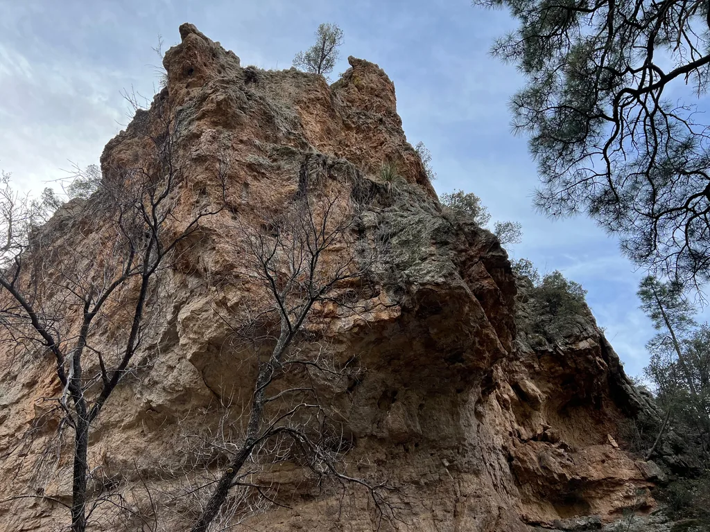
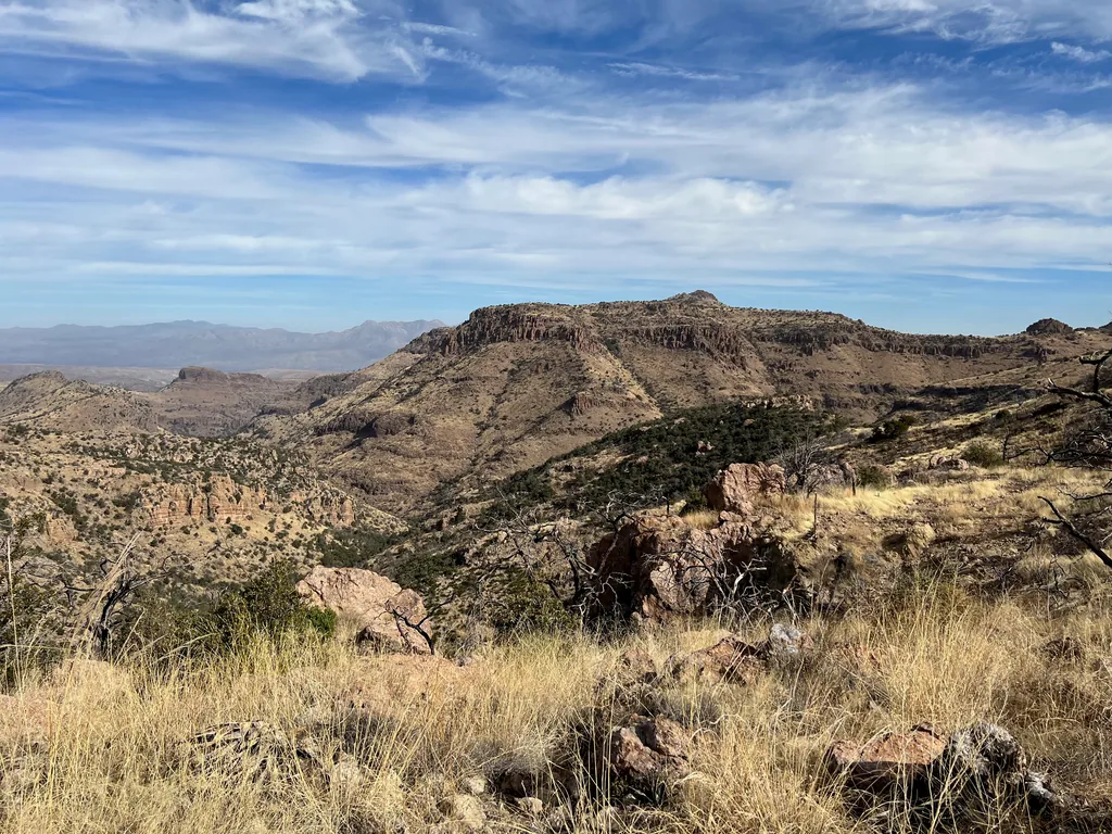
Beyond the saddle this trail followed the contour lines to the start of Sycamore Creek, the same creek that cut a deep canyon that I had hiked down last year. I followed the line as it swung in and out with the hillside, passing a few minor drainages and offering expansive views to the north. My eyes kept drifting northwards, looking for signs of the trails that I had hiked, and they proved elusive, hiding far below in the deep canyons. Somewhere out there was the start of that road, the old two-track I had been on shortly before, and there’s a trailhead out there, one that’s now on private land and is not usable without express permission. That’s a weird thing about some of these wilderness areas. The land surrounding them is not always state or national, sometimes it’s private land, and the landowners can block passage on any non-government roads, so a perfectly legitimate and usable trailhead can be inaccessible. YLE Trailhead and Trail in the west has this issue, and I wondered how the heck I was going to ever explore that one, so frustratingly close to drive to compared to these other eastern trailheads.
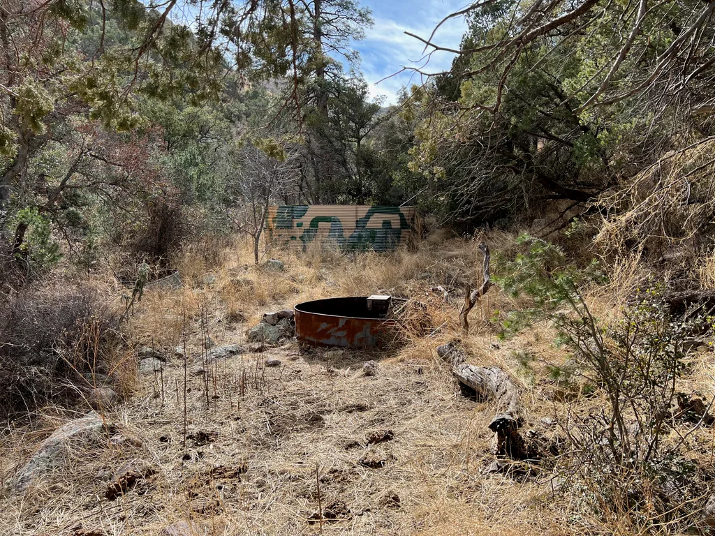
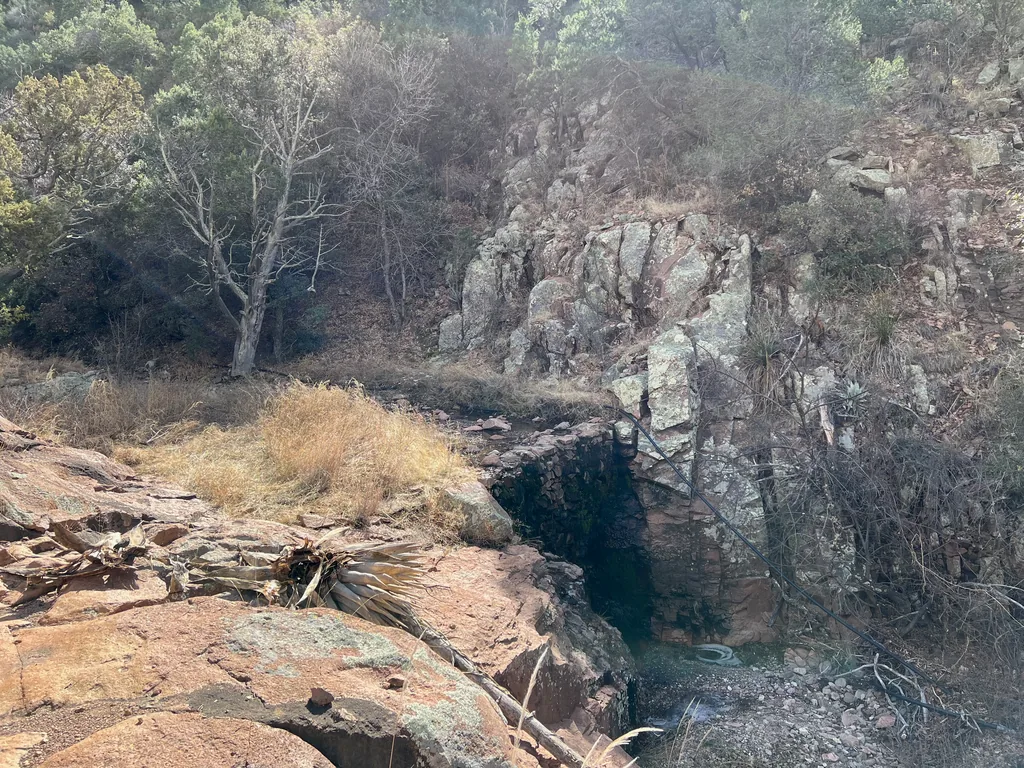
As the trail approached Sycamore Creek it slowly began to climb and my legs began to complain, the fresh energy from second-breakfast now exhausted. Stopping by the old ranching tank I debated pulling more water and decided against it. There were only a few more hours left today, and I hate ending with extra water, feeling like I’m wasting the precious wilderness water by pulling it, filtering it, and then just dumping it at the trailhead or at home. Instead I stopped long enough for a fresh snack and then pushed on, following the trail alongside the creek, and then to the next big climb, a short and steep 300’ to a hill above Mud Spring.
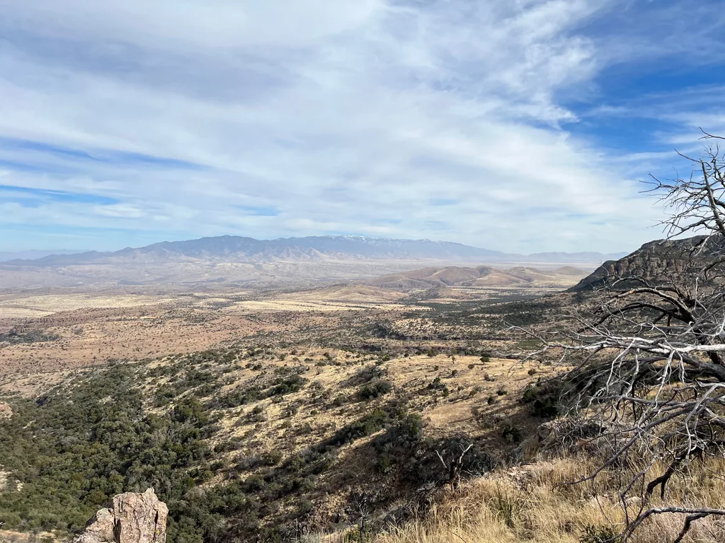
Tottering slightly after this last push, the combined creek climb and hill climb sitting heavily on my quads, I enjoyed the big views down. There were still a few miles left to the trailhead, though there was a finality here. The climbs were done, only a few drainages to cross, and if I squinted I could make out tall trees around the trailhead and that ranch that I had started by so many miles ago. Plus, at this point, the cattle dotted the hillside below me, the herd that called Mud Spring their home, judging from the hundreds of piles of poop that surrounded it. I trotted down the hillside on shaky legs, hating the loose rocks and gravel a bit, startled away the stubborn cattle on my trail, nodded towards their muddy spring (wallows), and then pushed onwards to the drainage crossing, eager to wrap this one up.
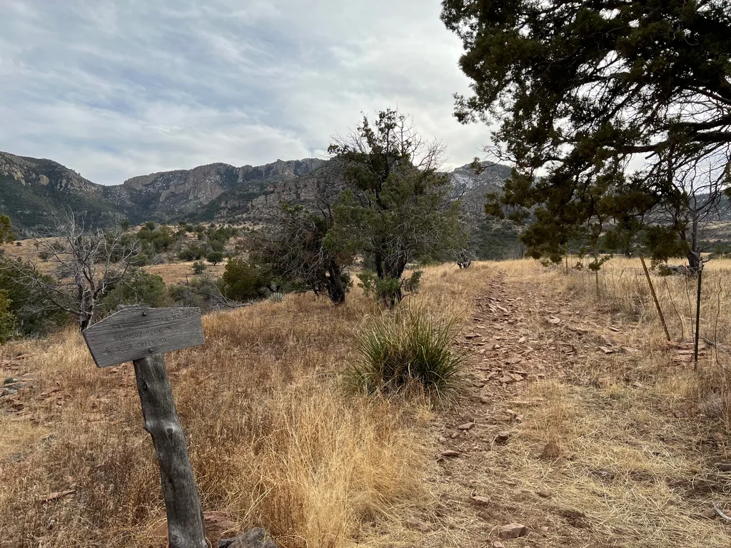
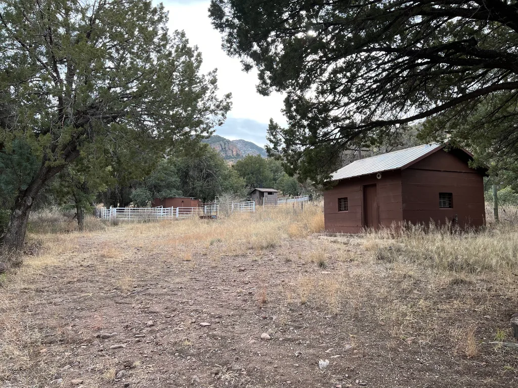
There was one slight diversion left. In my quest to hike each mile of trail out here there was a weird spur to a forest service site, their administrative site, where I think the old trailhead had sat. I think, anyways. As I neared it and saw several good cabins, stables, and corrals, I wondered idly if this was a staging site for trail maintenance or, perhaps, an older campground that was once manned year-round by the forest service. I could easily imagine this being a busy location back in the 70s or 80s with friendly rangers living out here giving out advice, permits, or even heading out on the trails themselves to check on conditions and water sources. Today it was empty, in slight disrepair, so I passed through quickly before trotting down the connecting road, now disconnected, and then cut cross-country back to the modern trailhead, which only has a small parking area, corral, and trail sign.
Even with a mid-afternoon return to my car it was late in the evening, after sunset, before I reached civilization and greasy food again. Part of me enjoyed the remoteness of the area and the solitude compared to the relative crowds in the Superstition Wilderness. Still, three to four hours of driving is a big lift. As I drove, thankful for the warmth of the car and conveniences of fast food, my mind spun on future visits, as it usually does. I was slowly starting to cross off sections of the northern wilderness, thanks to this trip’s ambitious route including Paddy’s River Trail. There was still that stubborn section of East Divide Trail between Paddy’s River and Kennedy Peak, though. How could I visit that section and limit the amount of repeat trails? Perhaps it was time to try a new trailhead, maybe that High Creek option, to continue spreading my range.



Comments
No comments yet — be the first.
Add a new comment
Posting a comment requires JavaScript, for spam protection (Cloudflare Turnstile). Enable JavaScript to leave one — you can still read every comment above without it.