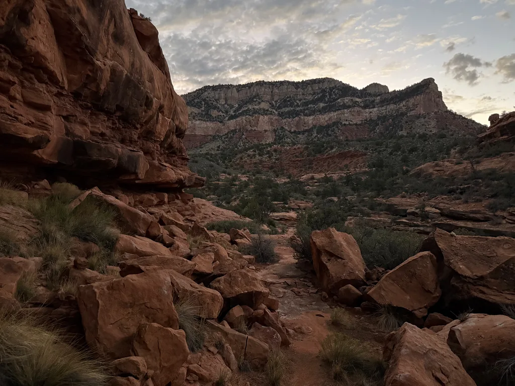
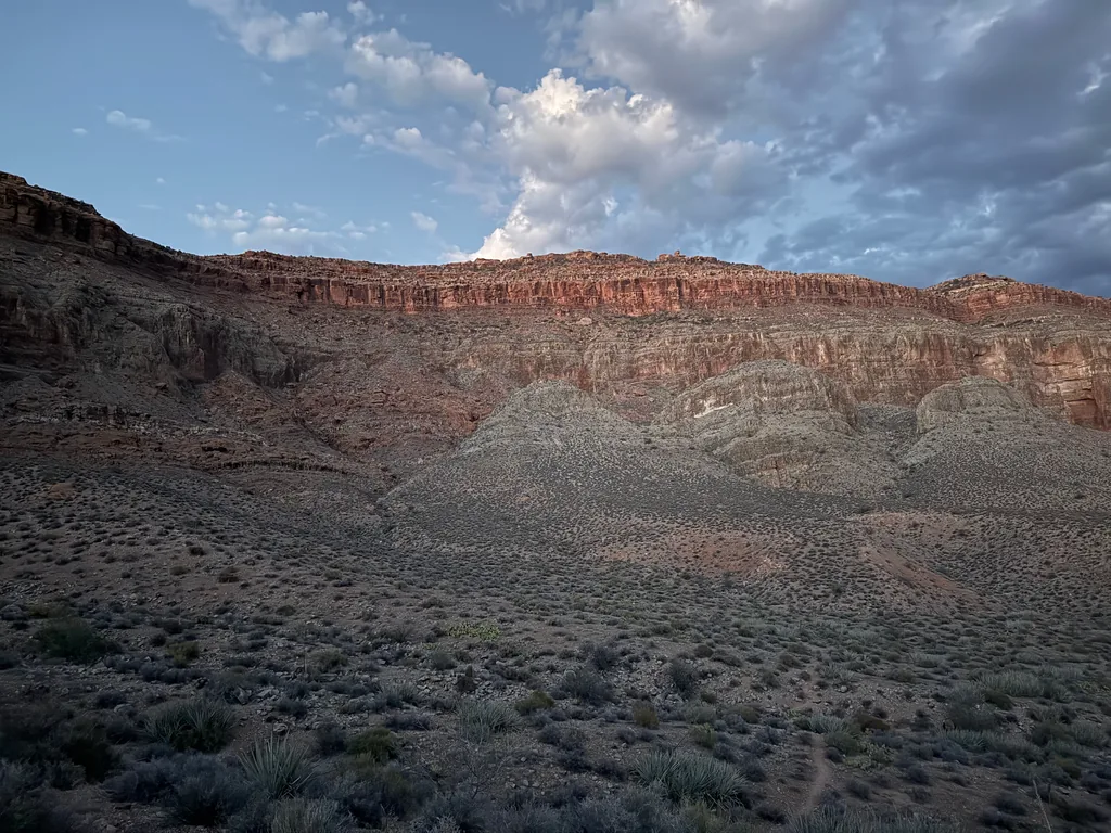
Standing on the upper reaches of Deer Creek, surrounded by the weird rock formations and scattered brush of the Esplanade formation, I watched the sun lighten the sky and felt bitter. The last three hours had been a frustrating and terrifying scramble along the poorly defined Thunder River Trail off of Indian Hollow. This section was supposed to be easy. After all, the route down from Indian Hollow, while longer than the descent down Bill Hall, was defined by the Forest Service as a “more gentle tread to Thunder River”, an old pack mule route. Instead, this section had washouts along a steep traverse that had me climbing along loose scree, eroded tracks that confused the path down, and long cairn-less pieces that left me meandering through brush and prickly pear. Now I was hours behind schedule on a day that with little room for error, in a remote corner of the Grand Canyon with no support, on an ambitious, perhaps even foolhardy, dayhike.
That ambitious dayhike? I wanted to do the classic Thunder River - Deer Creek Loop, something that most people do in three or four days. By the miles and elevation it’s not that much harder than some of the long South Rim adventures like Escalante or Phantom Ranch, although the isolated North Rim location does spice it up. Deciding to embrace this hardship, I had parked at Bill Hall the day before (the normal entry point to this adventure) and walked over to the quieter Indian Hollow Trailhead, an easy ten-mile stroll on forest roads, and camped on the edge of the canyon near Little Saddle. Not only was the Milky Way out in full glory (thanks to the new moon), I also got a few glimpses of the Draconid meteor shower from my hammock. It made for an awesome, and very quiet, evening. Sure, I paid the cost of those dark skies the next day, when I was trying to navigate the poorly maintained Thunder River Trail, but that night had been nice.
So, back to my plan for today. Start at Indian Hollow, take Thunder River Trail past the Bill Hall Junction and down into Surprise Valley to Thunder River & Tapeats Creek, follow one of the “connector” routes west to Deer Creek, then hike up Deer Creek back to Surprise Valley, and then a final haul up Bill Hall. Two dependable sources of water, three big climbs (Deer Creek, Thunder River out of Surprise Valley, and Bill Hall), and only the connector route that could get ugly, with the low, hot elevation and uncertain tread. That was my time concern right there. I wanted to get the connector done before noon, before the heat of the day, and then rest during the mid-afternoon heat along Deer Creek before tackling the three big climbs.
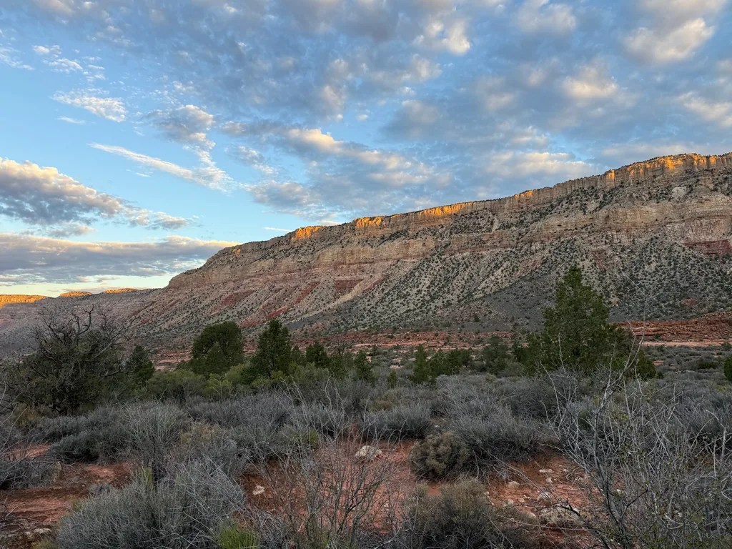
Well, stressing about that wouldn’t get me far for now, unless I wanted to immediately bail up Bill Hall and be done with this hike before ever dropping past the Redwall. I didn’t drive all the way to the North Rim, to this remote area, and spend a glorious night up here just to turn around so early. With a sigh I pushed on, eventually passing the junction with only the slightest bit of regret.
One of the benefits of starting from Indian Hollow was that slight bit of satisfaction on completing more of the Grand Canyon trails. This is something I’ve only been loosely defining over the last ten years or so, since I’ve been more-or-less ignoring all of those “on the rim” trails and only thinking about trails that run far into the canyon depths. The South Rim is still a bit of a patchwork mess, that long Tonto Trail being difficult to complete on dayhikes, which makes the North Rim a lot easier to knock out, even with the longer drive. There are five trails that drop down from the North Rim: Thunder River, Bill Hall, North Bass, North Kaibab, and Nankoweap. By starting from Indian Hollow and going up Bill Hall there’d be a single “North Rim” trail left on my todo list, the North Bass trail, which could make a satisfying late-spring adventure.
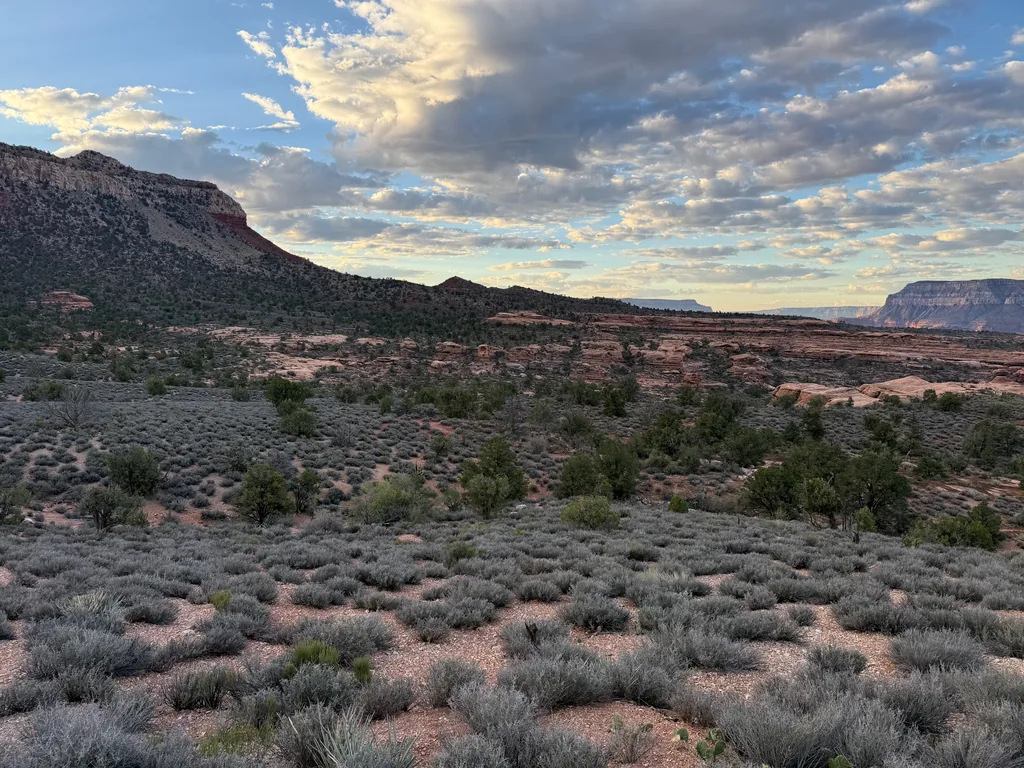
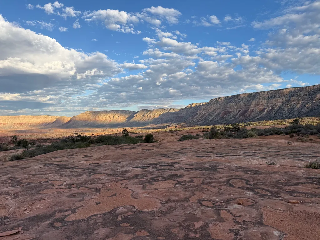
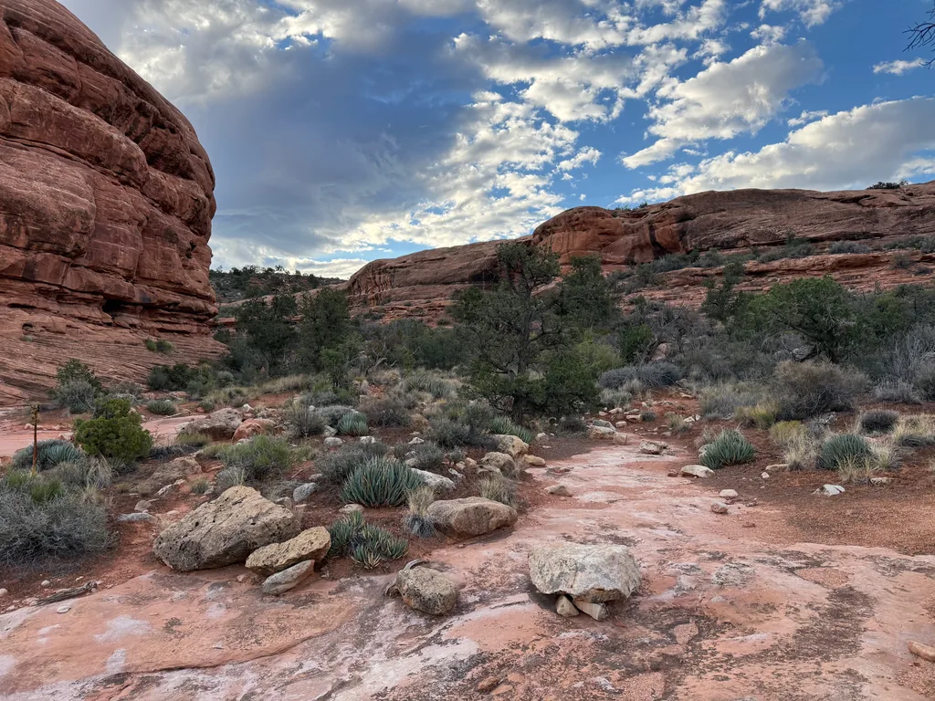
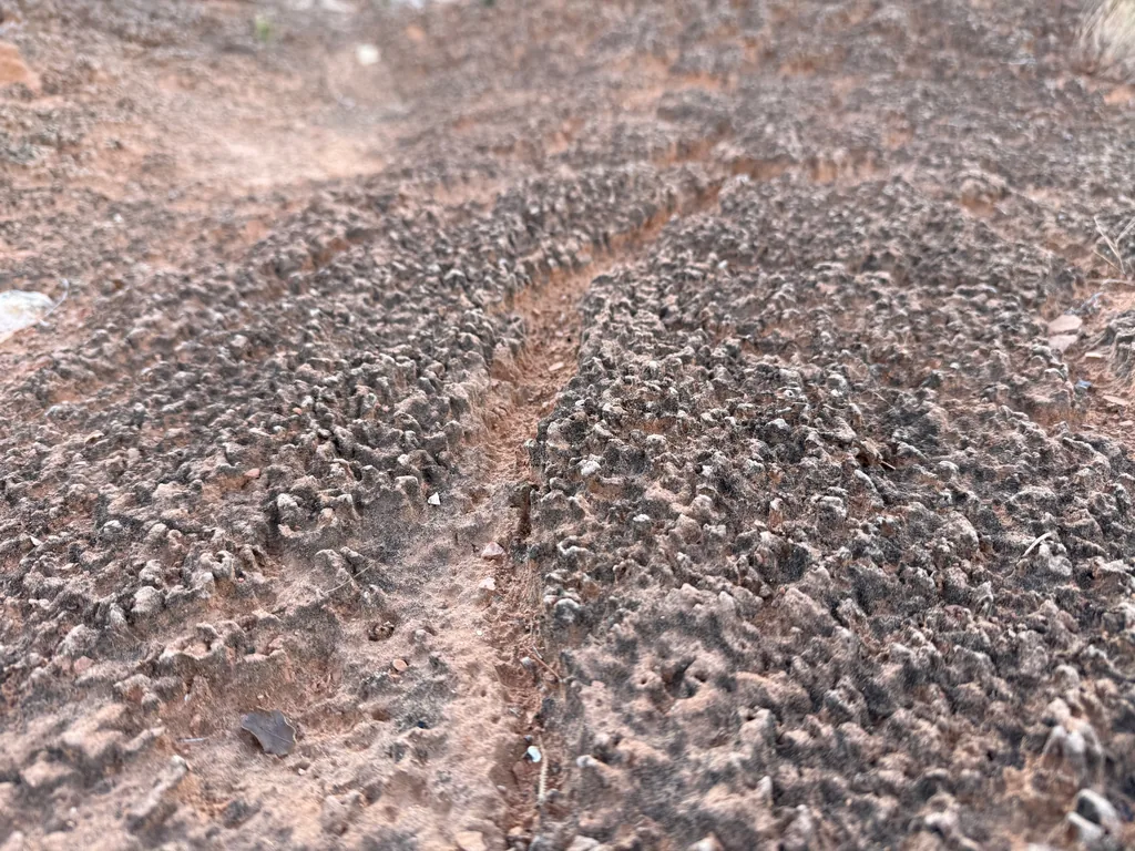
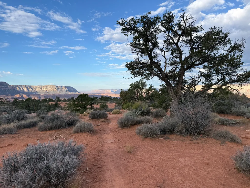
This Esplanade area was really cool in the early morning light. The tough, red sandstone layers had been worn into rocky streambeds and drop-offs, with only the thinnest layer of soil spread over separate islands. Some of this soil supported small bushes, a few copses of junipers, and others were ridged with cryptobiotic growth. This proved to make route-finding interesting, as the trail was well-worn through soil sections and difficult to follow on the open expanses of rock. Luckily, the rising sun made the short, widely spaced cairns easy to follow on the rocky flats. I wondered idly how dark it would be this evening during my return, and if these cairns would be as easy to pick out. Spoiler: they weren’t.
Making quick time on this section, wonderfully quick time after the slow crawl in the dark earlier today, I neared the big drop into Surprise Valley and stashed a few liters of water. Probably wouldn’t need it on the return, with Deer Creek only a few miles below me, though it was nice to have the insurance just in case. A short distance later and I bumped into the first people of the day, a trio of backpackers who had camped above the drop and planned on heading down to Thunder River this morning. It was a little surreal, to see people who were just waking up now, after I had been hiking for… five hours now? I’ve gotten used to people in the Grand Canyon doing alpine starts, not sleeping in.
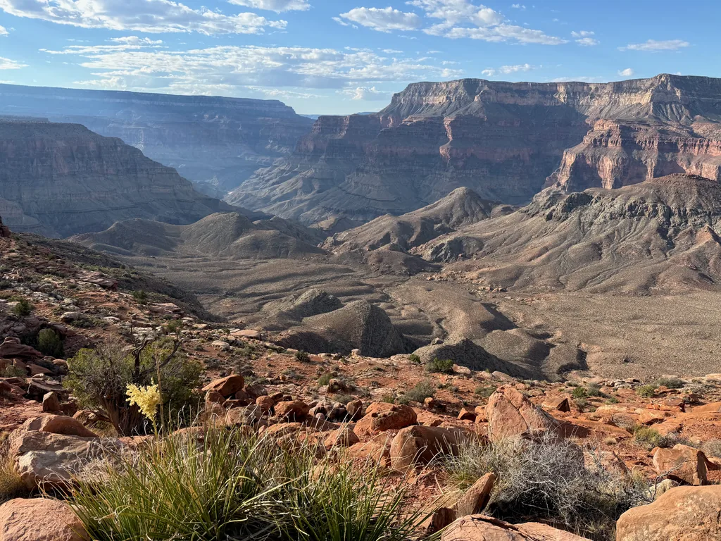
They pointed the way forward and I headed down the steep trail, trotting quickly along, eager to continue making good time. The route swung down a short drainage, reaching a saddle, and then began switching back-and-forth quickly, dropping down the steep Redwall break. Trail construction in the Grand Canyon is an art. As the steep wall let up the switchbacks lengthened, eventually swinging over to a talus slope, and then dropped down along that slope to an odd slanted hill next to Surprise Valley before finally slinking down into the valley itself. Overall it was done quicker than I thought and I was in the valley by nine, still behind schedule, yet feeling good, my legs and body happy with my pace.
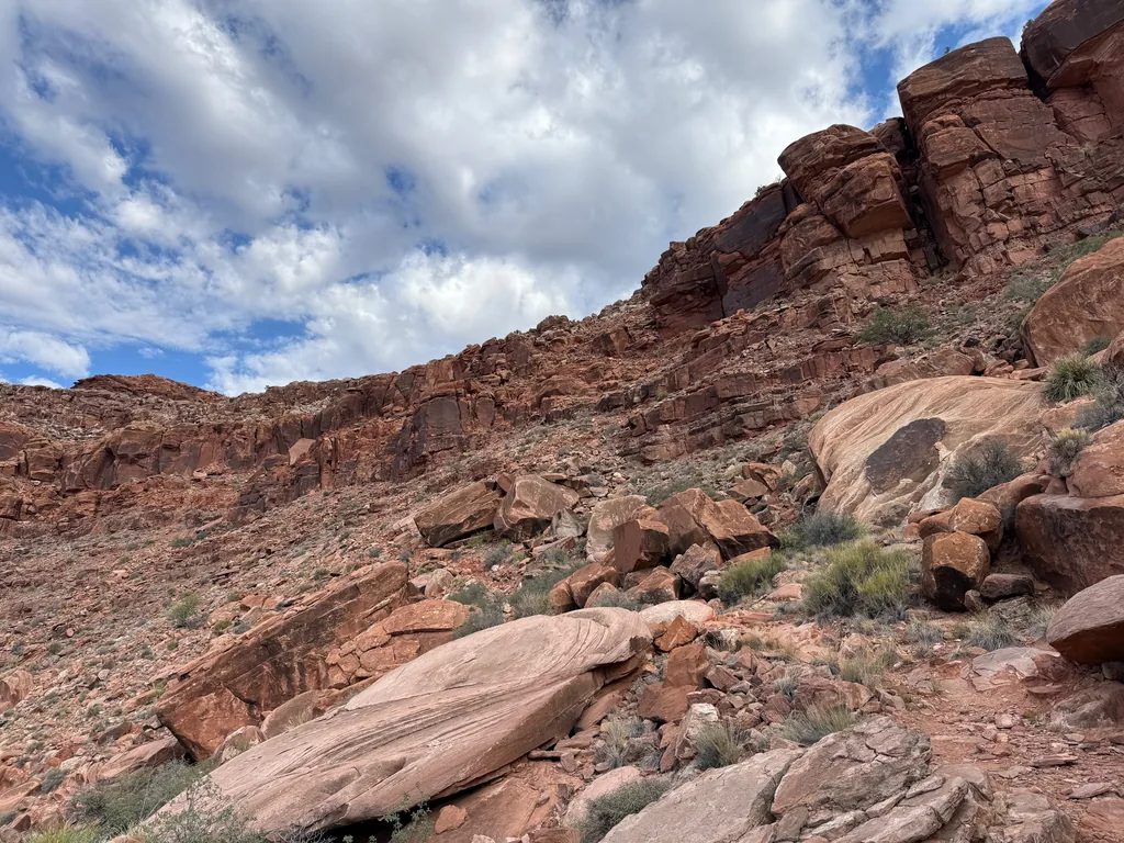
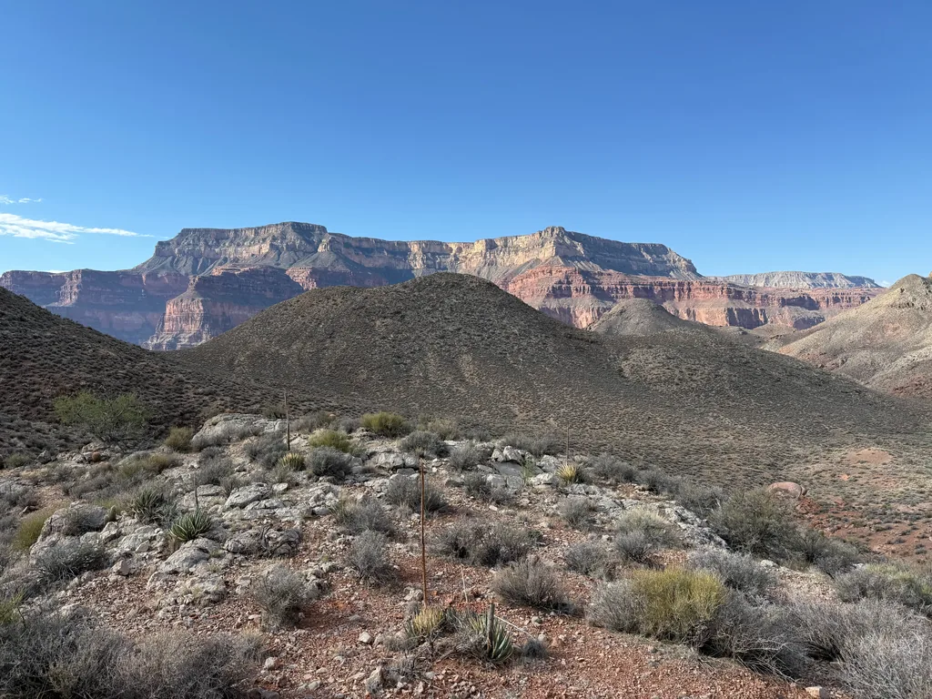
A hundred different horror stories rolled around in my head from my research. Some reports talked about the rough connector, others about the scorching heat of Surprise Valley, and others about the steep climbs. While I was still worried about that connector, neither Surprise Valley nor the climbs (downhill, at least) had been that bad. My strategy, having a light daypack and pushing a fast pace with plenty of hydration, was paying off. Maybe this ambitious dayhike wasn’t so foolhardy after all.
I passed by a few small tents in Surprise Valley and then turned east towards Thunder River itself, looking forward to seeing the springs and river. Hundreds of gallons per second pour out of the rock to form a steep, sudden rush of water, one of the more spectacular scenes in the Grand Canyon. Clean water in the canyon always seems hard to come by, with most of the creeks and drainages along the sides barely holding onto trickles most of the year, if anything at all, and then you run into these massive springs that seem to defy logic. My legs protested the slight uphill here before I crested the edge of the valley and tumbled down the steep drop into Thunder River, a crumbly and narrow path leading down, and the sound of the river echoed up at me, a defiant roar of greenery against the otherwise dry and barren landscape.
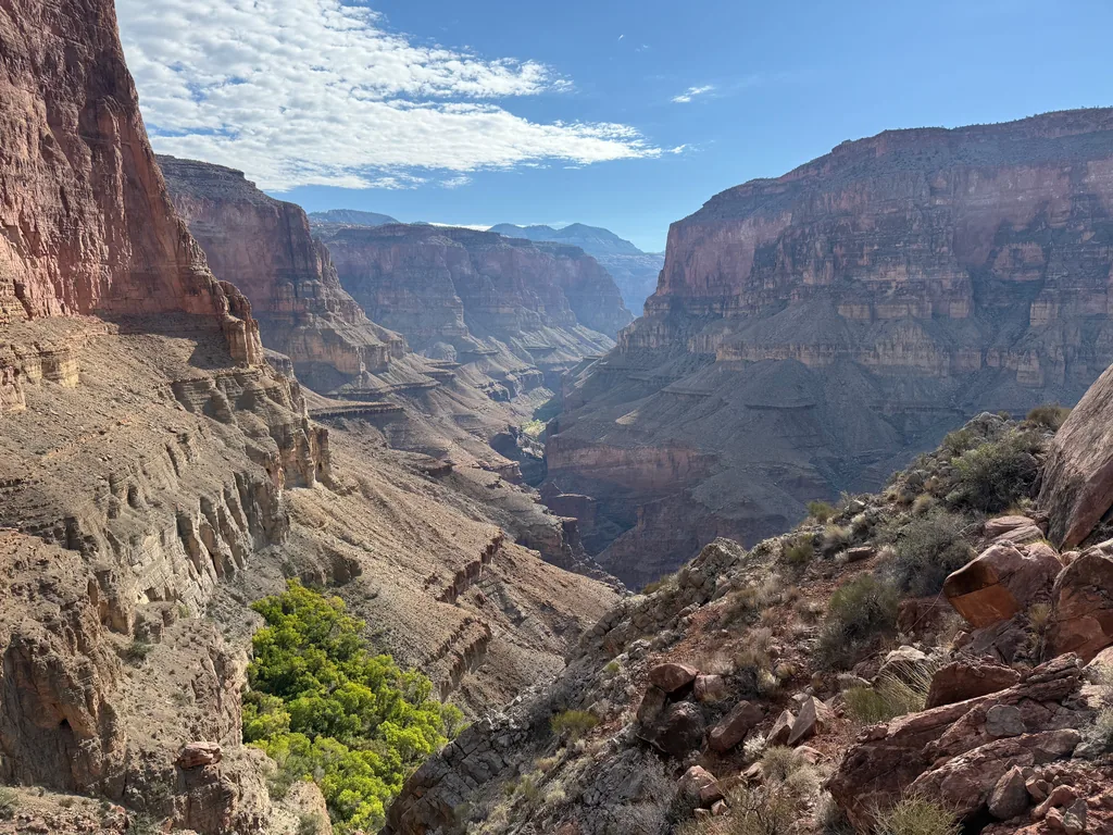
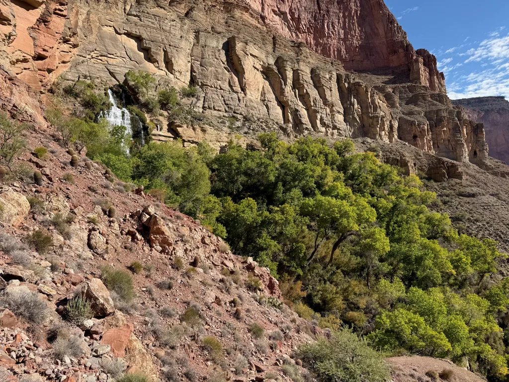
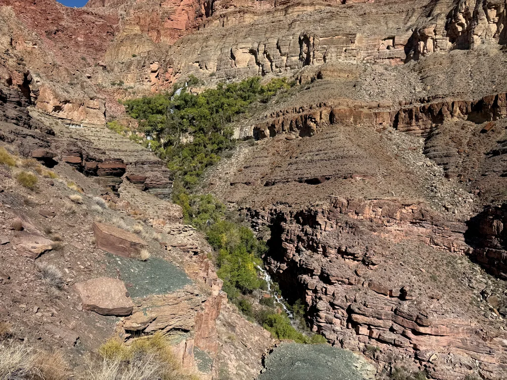
Thunder River was everything I could have wished for and more. It was also busy. There were two or three small spurs that connected to different sections, and all were occupied by backpacking groups. One of them even had a naked old man washing up under a waterfall. After the solitude of the morning, only bumping into a single group, the relative crowds were a bit of a shock, and I shied away and pushed on. Especially from that naked dude. To each their own, I guess.
Content to admire Thunder River from a distance I made quick work of the rest of the descent, eventually meeting Tapeats Creek past the confluence. There is supposed to be a trail on each side of the river here - the west bank, which involved a few climbs and traverses on steep sections and the east bank, which stayed low with the river. I opted to go with the east side, which meant crossing the river, far too deep and wide for a dry crossing. After filtering an extra liter (most of the five liters I started with were now gone) I changed my gear, taking my socks off, and crossed the thigh-deep water helped with trekking poles, letting my shoes dry off minimally before re-donning sweaty socks and pushing onwards.
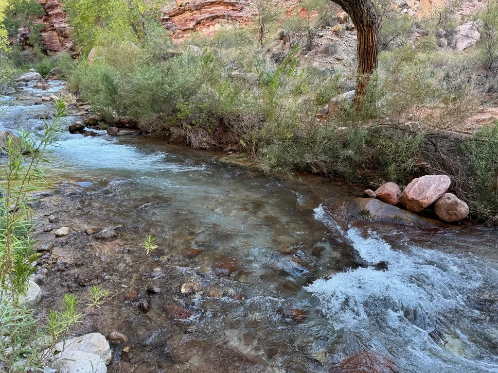
There was a mile before my next crossing, which I hoped would be fine for my feet in sweaty, wet socks. I’d let the shoes dry out more after the second, and final, crossing of the day. For now I pushed on in the wide, shaded river canyon, enjoying the rushing water noises and cottonwood scenery. As a bonus, most of the campsites seemed to be on the west bank, so I didn’t have to hike past any people, just wave awkwardly from the opposite bank.
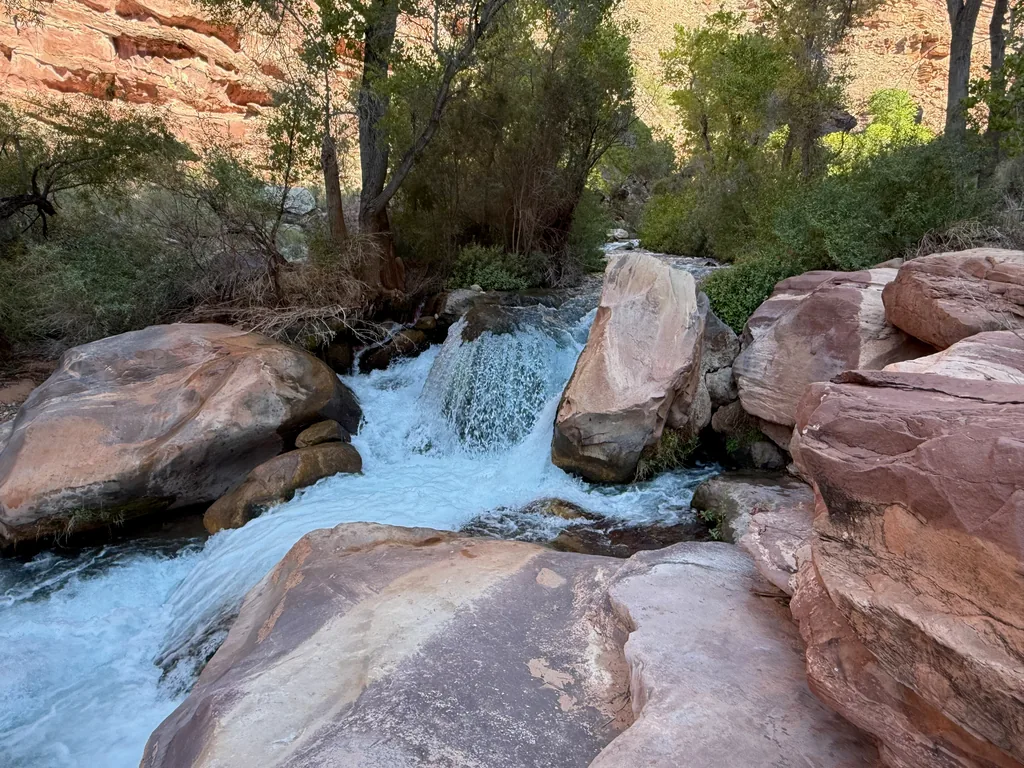
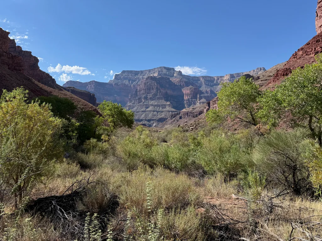
This section of trail was quite pleasant, with the shade and river and all. Part of me was anxious about that connector, which now would definitely be in the afternoon heat, and I tried to let that anxiety go. There were also a lot of rafting groups hiking up from the river. Some of them were in pairs, some in larger groups, and even a few over a dozen, with Nalgenes in hand and a variety of footwear, some even in sandals. I felt terribly out of place. I wasn’t a backpacker with a huge, multi-day pack, nor was I a rafter with a straw hat. I was just a crazy man with a light daypack hiking with a quick step and wet trail runners.
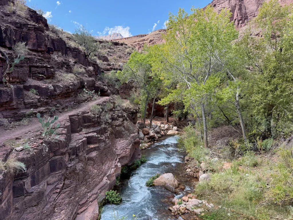
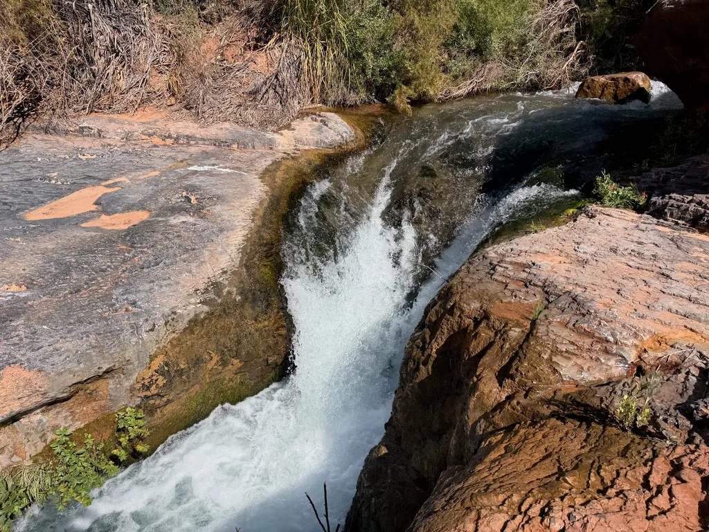
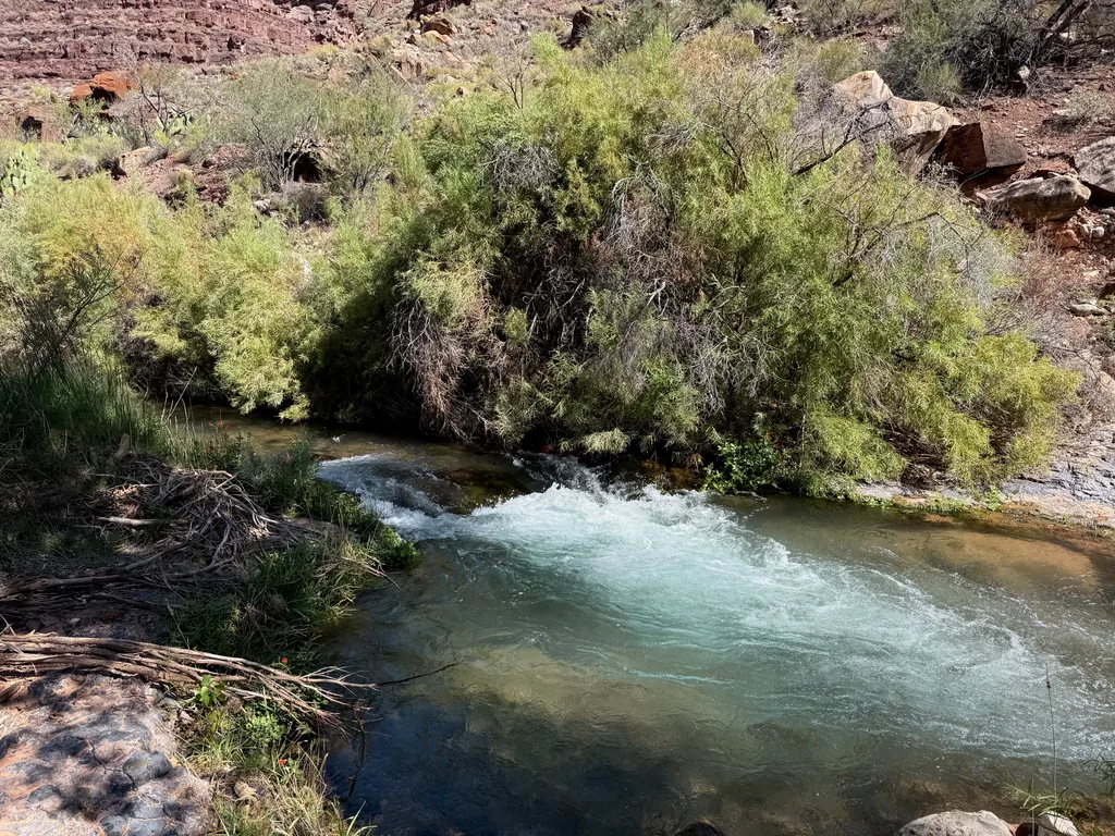
The most bizarre interaction was when I stopped after my second crossing and was filtering back up to full capacity. I was now six liters deep into the day and was filtering back up to four, preparing for that exposed connector to Deer Creek. My trail runners were drying on a hot, sunny rock and I was shoveling in food, treating some blisters, and switching out my water. Several groups had already passed by, most of which were uncertain about crossing here, and I had to tell them that this was, indeed, the crossing spot to continue upstream. A group of two inebriated people showed up and encouraged me to stop by their camp by the river to “grab a gatorade and a beer or three”. The man somehow gestured to all of me, taking in my filtering setup, pack, and day-hike plans, and said “you could just drink with us instead of doing that”. I thanked him and returned to my plans, chuckling kindly at the offer, wondering idly if there were any two more different ways to experience the canyon.
From this second crossing spot the trail climbed a bit and the river carved a deeper path down, and soon we were separated by hundreds of feet of steep cliff. This section was surprisingly exposed and narrow, and I wondered how the heck that inebriated couple had navigated this, beer in hand. I didn’t feel terribly comfortable on it completely sober with trekking poles. The narrow path swung in and out, snaking towards the Colorado, before suddenly plunging down the layers over well-hewn steps, likely maintained by the rafting companies wanting to provide side excursions for their groups.
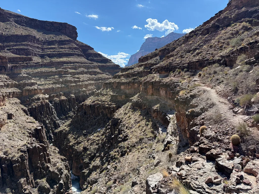
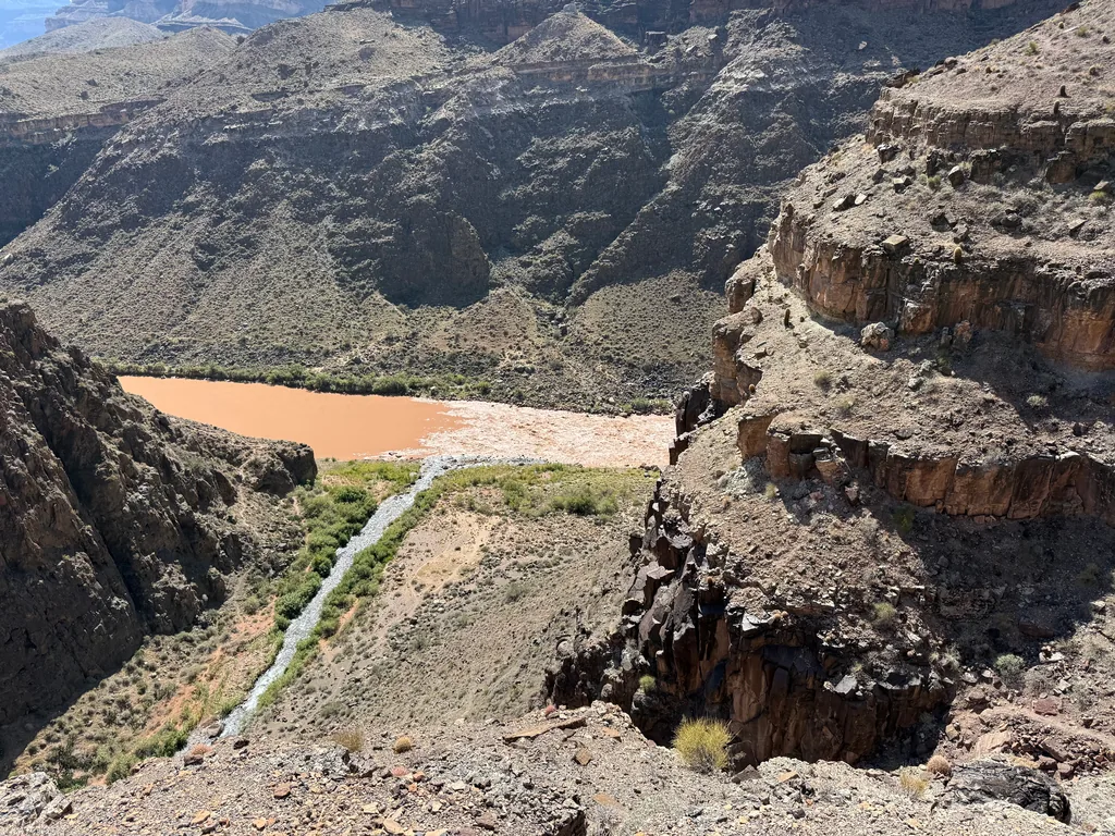
I trotted down, passing one last group on the way, and soon stood next to the rushing waters of the Tapeats. A few stragglers, people who seemed to have opted out of the day hike, were enjoying the waters here, soaking towels and wrapping themselves in the cool embrace. Taking a hint, I found a quiet spot and soaked my shirt, buff, and hat, barely wringing them out before donning all three. The coolness felt wonderful. Today I had a sunshirt on, some lightweight blend of materials, and I knew that even as the water warmed that the evaporation would still feel good. Doing this with a pure cotton shirt would have been a terrible idea.
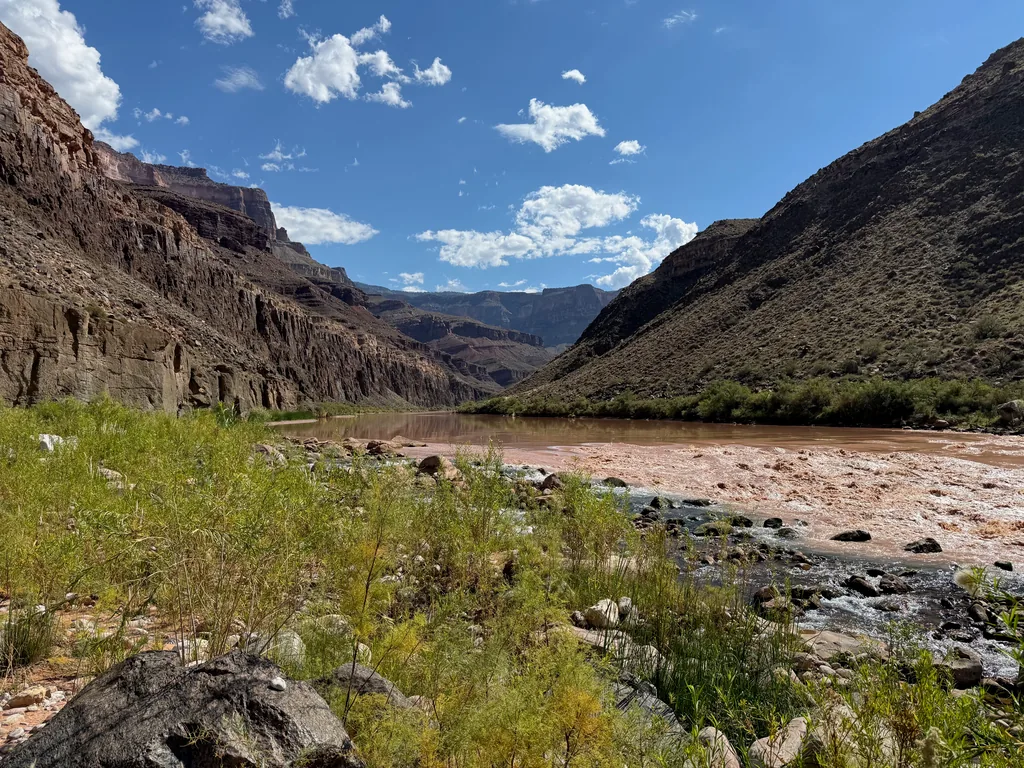
Feeling refreshed I pushed on, slogging through the sandy banks and thick brush, eyeing up the rapids to the side. Part of me had been tempted to bring a packraft down here. However, after scouring satellite photos and reading plenty of reports, I had decided not to. There are three named rapids along this section, though I could put in after this one (Tapeats), bypass the next one (One Hundred Thirty-Five), and take out before the next one (Deer Creek). Then there are two more unnamed ones here, between Tapeats and One Hundred Thirty-Five, so it didn’t even make sense to put in until the halfway point. By then I’d only have a short float through Granite Narrows. While that sounded cool, knowing that I’d be hauling eight to ten extra pounds for maybe one, one-and-a-half miles of float just didn’t sound worth it.
So yeah, instead I was walking the full connector. The first mile or so was along the river, the sandy banks, thick brush, and eventually a rock-hop. There weren’t many markers or cairns, though I suppose they weren’t needed… just keep heading downstream. There was one quick little climb near Bonita Creek where the Colorado River ran hard against the rocky walls, and I remembered a triplog bemoaning the steep climb here. I was downclimbing, and while I’m skittish with exposure, I had no problem here, easily walking down the twenty feet with carefully placed steps. Beyond that was more annoying rock hopping, and I caught a view of three almost-empty rafts floating down the Colorado and glared a bit at them. Man, it’d be nice to thumb a ride for a few miles.
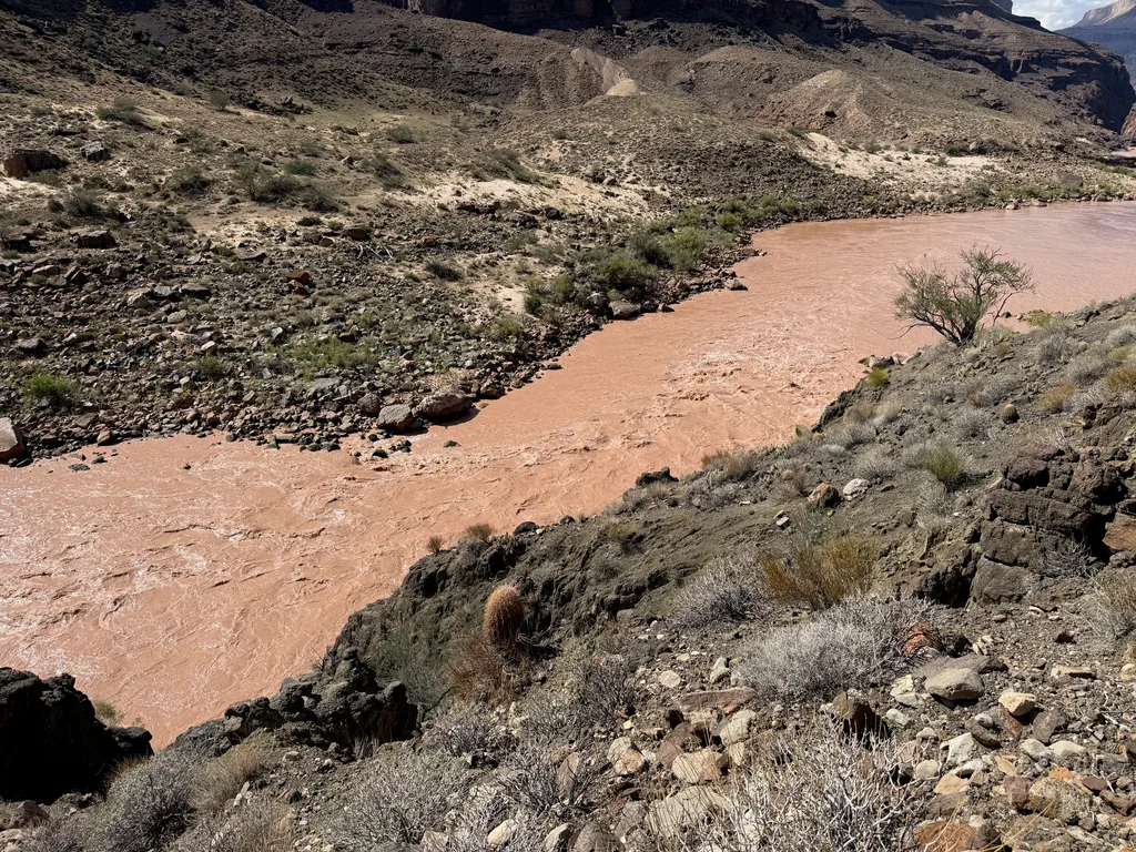
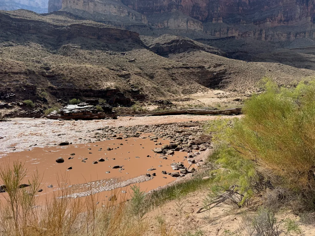
At the halfway point the trail began to climb up a crumbly, rocky slope, slowly gaining elevation to bypass the steep cliffs of Granite Narrows. My first real climb of the day, if you ignore the slight grade of Surprise Valley. Legs protesting, I leaned into the climb, glancing ahead to find a goal some twenty to thirty feet above me (a cactus, trail bend, cool rock) to pause for a quick break before pushing on. Hydration and cramping were not an issue, only energy, as I hadn’t been doing a great job at fueling my body over the last few days. I learned some good lessons about hydration after the terrible experience at Tortilla and had that part dialed in.
Some of the meds I’m on these days make my sodium base levels pretty low. Then, on these big, sweat-heavy days where I’m pushing lots of water, I have a higher risk of hyponatremia. My previous hydration strategy was to alternate between a liter of clear water and a liter of nuun mixture, which has between 200-600mg of sodium. I’m now using LMNT, SALTT, or Tailwind, which is either 1000mg or 900mg per liter, and only drinking clear water once every few hours to “cleanse the palate”. For this specific trip I had a 3L bladder with drinking hose with caffeinated Tailwind and two 1L Nalgenes with SALTT or LMNT. While this amount of sodium and mixed water sounded crazy, it had worked great for me out on Cypress Ridge, with no cramping issues during the hike and a quicker recovery afterwards.
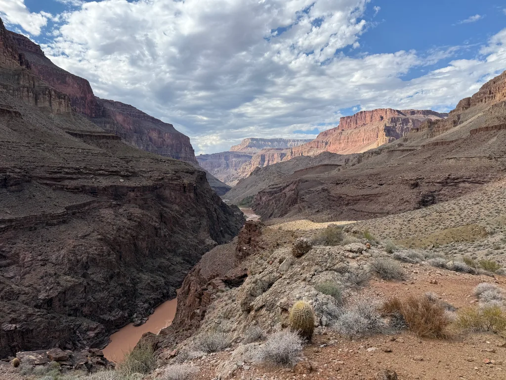
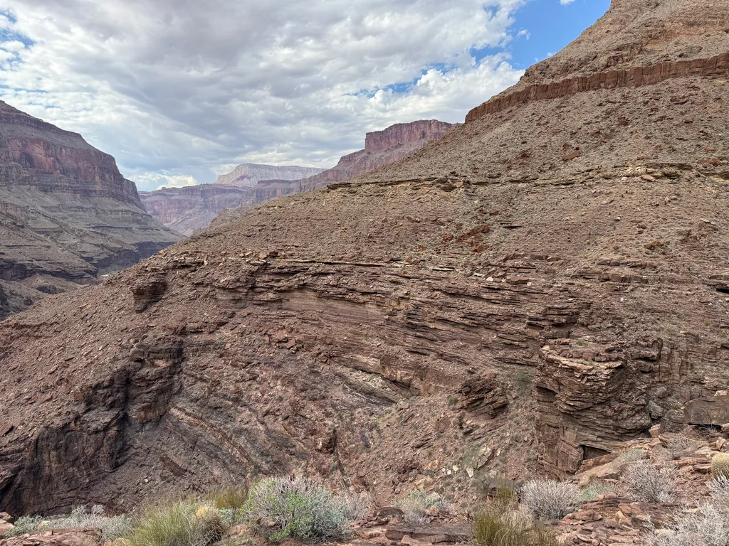
The climb was quickly over, only four hundred feet or so in all, and I continued sipping that Tailwind mixture as the trail began to swing in and out of the different drainages. I was surprised to see some of the green growth in a few of them, and even some sitting water at one, even if it was covered in algae and had a definite green tinge. Hey, it would work in a pinch. With enough water in my pack I pushed on, wondering idly which path I was on. There’s an upper and a lower traverse, and I was just following the tread for now. Turned out I was on the upper option. Never did see where the lower traverse branched off, even if I did glimpse a few sections of it below me at times.
This connector was wonderfully quiet. There had been one group back by Bonita Creek, and I spotted a group of three backpackers heading down on the lower trail as I neared the end, and that was it. Most people were probably smarter than me and had done this earlier in the day. Luckily, some clouds were drifting overhead near the end, precursors to some weather that was moving this way and would hit tomorrow. The sun did begin to glare as I dropped down to Deer Creek, an inviting line of green far below, and I didn’t mind the fresh sweat as I trotted and slipped down to the next leg of my dayhike.
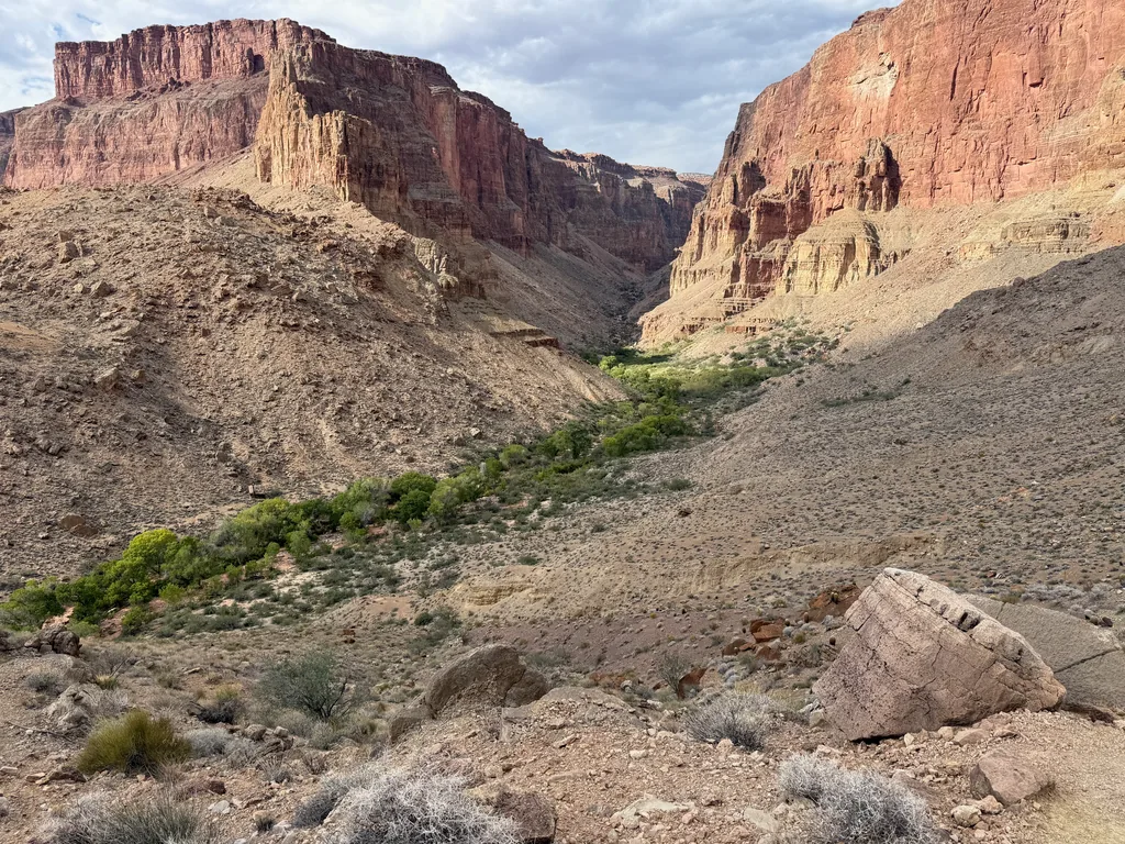
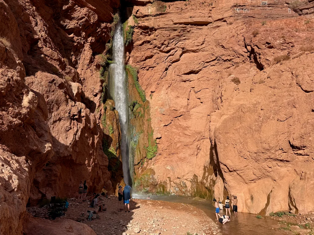
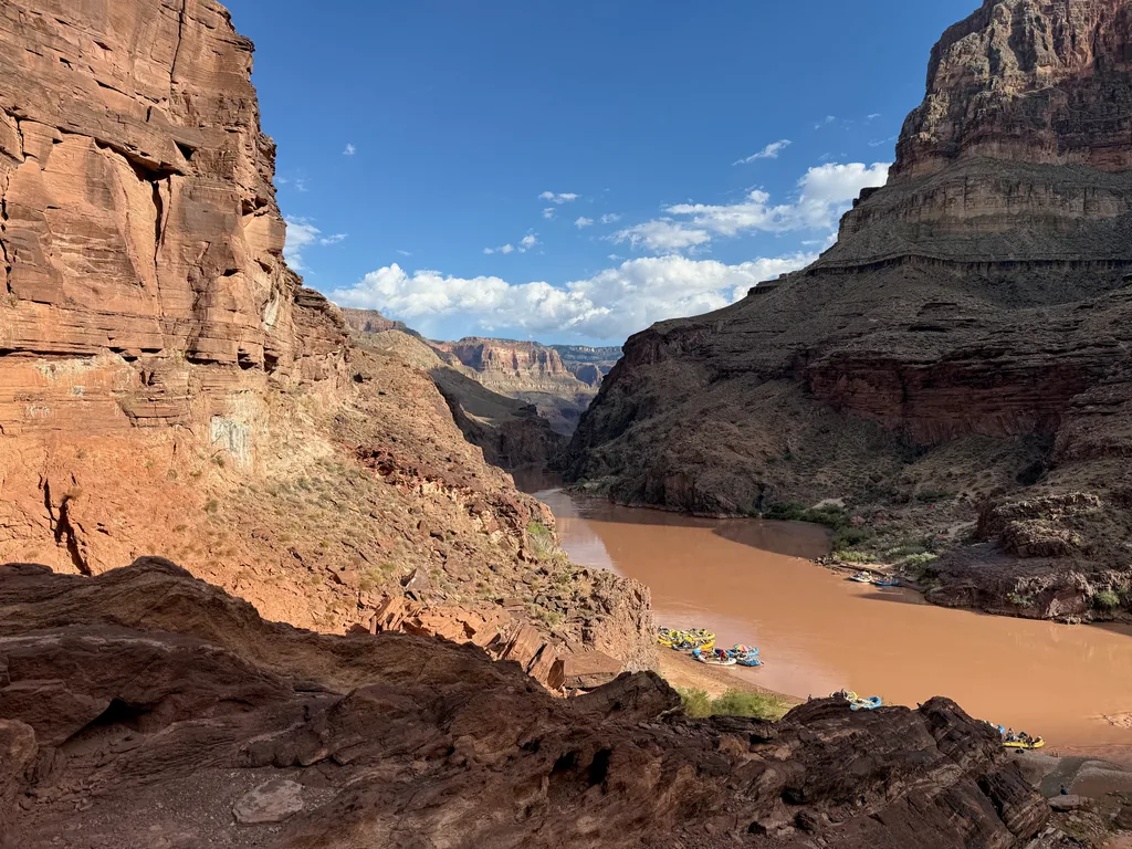
Expecting the same amount of backpackers and rafters here, I was happy to see Deer Creek largely empty. There was one other person here, who was filtering water at the Patio, and then I had a mostly empty trail. Eager to reach the lowest part of my loop I pushed on, turning downstream with the creek and following the narrow path back towards the Colorado River before the quick, well-maintained descent to the bottom at Deer Creek Falls. Here there were a lot of people, at least twelve rafts tied up on different beaches and ten or so people basking in the mist of the waterfall, so I stopped only long enough to awkwardly change my socks and take a few photos before hauling right back up that trail and returning to the quieter Patio section above.
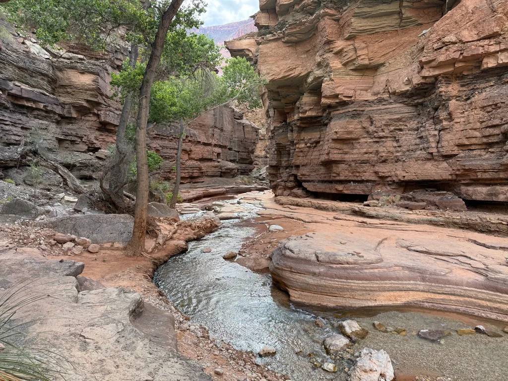
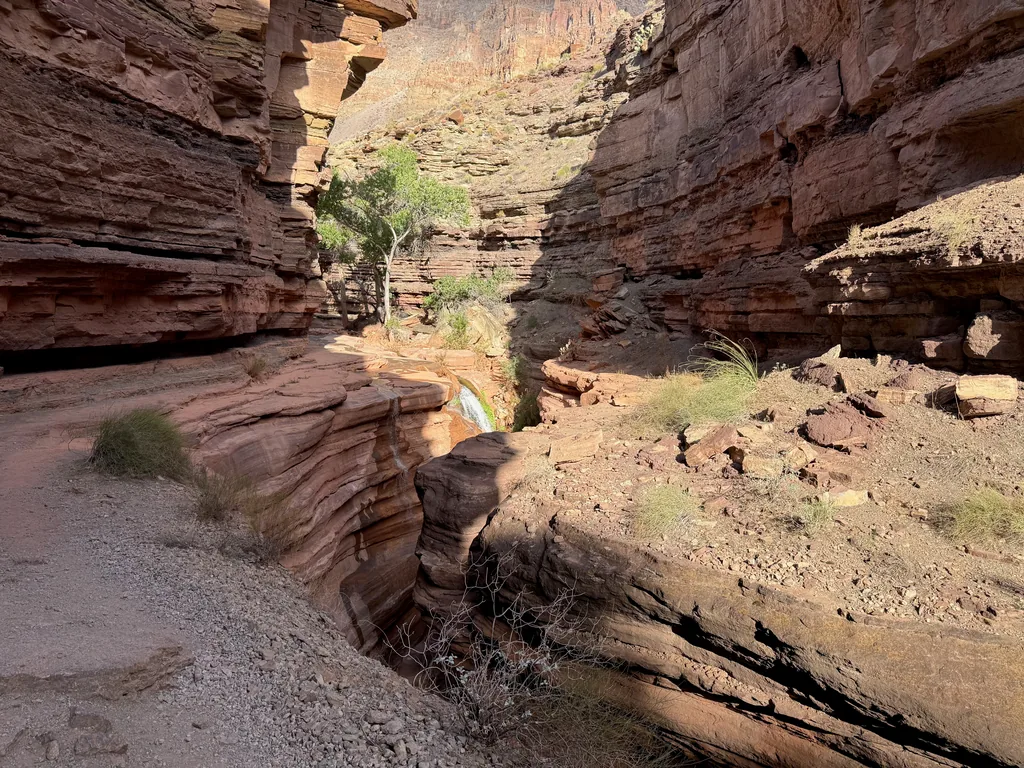
By now it was around four in the afternoon, somehow more than thirteen hours after I had started from Indian Hollow, and my body was begging for a break. And I was in the right place, Deer Creek, where I had planned on taking a few hours to rest and recharge. Unfortunately, it was not the right time. There were only two more hours of daylight left and I had almost nine miles and all three of the big climbs sitting between me and my car. I gave myself an hour to refill back to five liters - my water from Tapeats was long gone - and then hopped across the small creek and started the first climb, 1300’ over 1.5 miles.
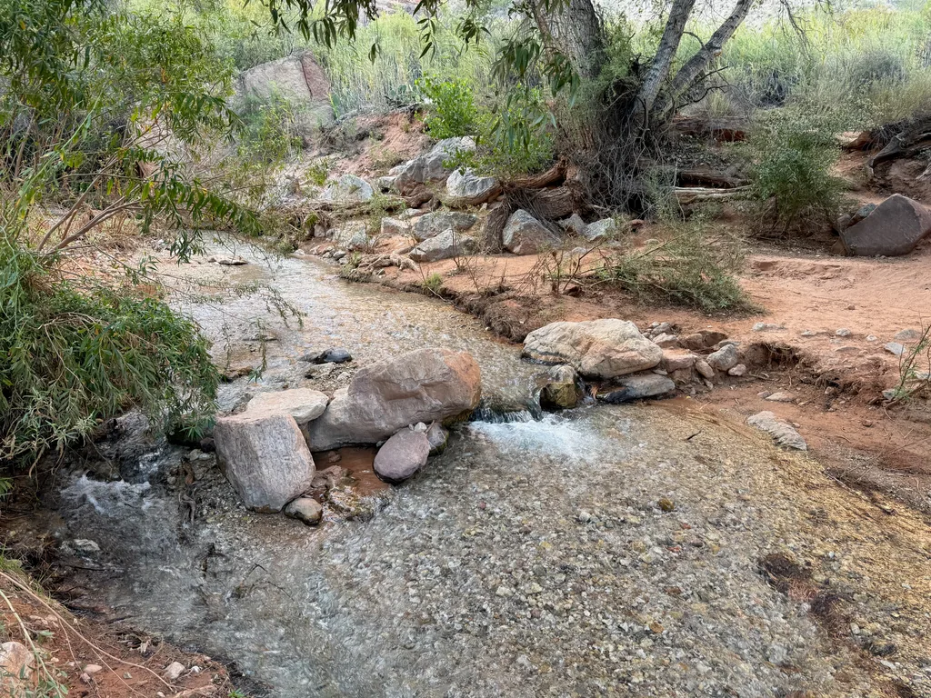
This climb was a bit cruel, starting with a bushwhack through tall reeds and hidden prickly pear before steepening over a rocky talus slope, the tread and cairns barely discernible from the surrounding rocks. The switchbacks were tight and short, making for sudden shifts in direction that were hard to predict. I stopped frequently along this section to reorient myself (and, yes, to catch my breath). There were a few interesting sights along the way, including a dry Deer Creek Spring with the “throne room” under a large alcove, plus the rugged shoulder of Cogswell Butte. However, between the rough route-finding and the dropping sun, I was mostly in a rush to get this climb done. If I could get back into Surprise Valley before headlamp darkness then at least I’d be on familiar trail for a bit.
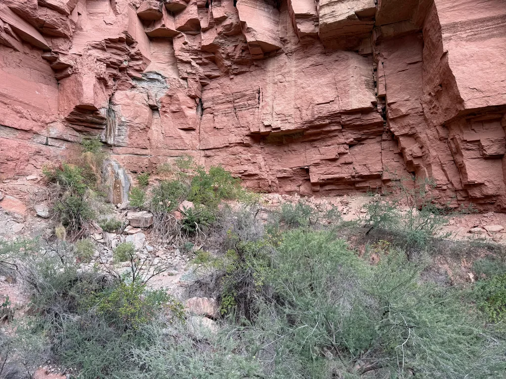
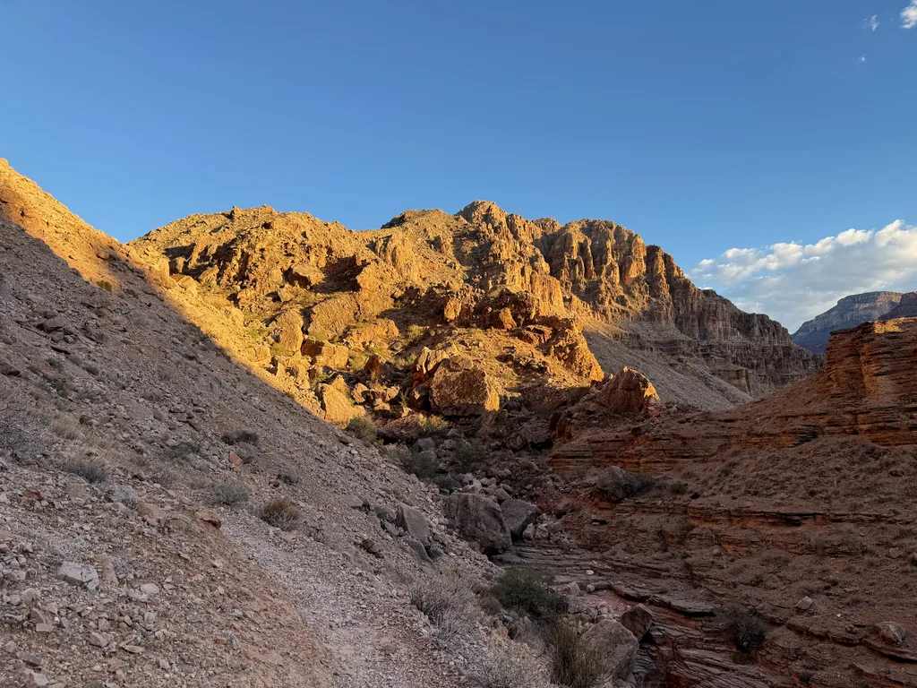
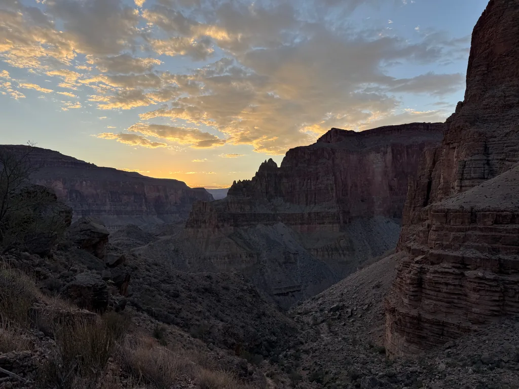
Once the grade slackened the trail swung back and forth across a rocky drainage, the western drainage for Surprise Valley that flows over the lip at Deer Creek Spring and down to Deer Creek itself, although the crossings were difficult to make out and I found myself doing a bit of rock-hopping instead. A bit of patience and some more light would have helped. I found myself chuckling a bit, remembering how worried I was about having to do this climb with the mid-afternoon sun beating down on me, calculating the extra water I’d need and how welcome those few liters I cached above the Redwall would be. Racing the coming darkness was a slightly different problem. Eventually the trail flattened out and I came upon the junction, the welcome junction, where I could rejoin Thunder River and start the second climb.
1400’ over 1.2 miles. At least the climb out of Surprise Valley would be a quick one. I packed my sunhat away, donned a headband and headlamp, and started up the climb with a sure and steady pace. This part of the trail was familiar, and I had done it after the sunrise, so I didn’t pause or check my GPS, just kept my head forward and marched. First the slink along the hill, then the talus slope, then the switchbacks that tightened at the break, then the creek. Near the top I began to slow and doubt myself… could the climb really be this far? When I broke out above the creek, where I had seen those three backpackers packing up so many hours ago, I let a big sigh free. Two climbs done.
A few minutes later and I reclaimed my water cache, unneeded for now, and added an extra hand light to help with route finding. I didn’t dare dump any of my water - who knows how long it would be until I was at my car? The next three miles were flat, and I should be able to make good time, but there were also plenty of long expanses across the featureless rock, and the cairns blended in with the brush to confuse me. These miles on the Esplanade were frustrating and slow, and I had to reference my GPS way too many times, turning around in circles until I was pointed back in the right direction and wandering until my track lined up with the trail.
When I reached the Bill Hall junction I sat down and had a bit of a think. I wasn’t going to spend the night out here, an unsanctioned overnight huddled under an emergency blanket. However, my gut was finally rebelling against the Tailwind mixture, and so I used my stashed water and drank a liter or two, trying to even out my intake. Also, my bag of snacks was barely touched. Something about today had reduced my appetite to nothing, either the push for miles or the sweetened fluid. There were a lot of calories in the Tailwind so I wasn’t too worried, but I tried to force some salty snacks down just to settle my uncertain gut.
The climb up Bill Hall was a bit of a fever dream. I put away my extra light and leaned heavily on trekking poles, using my headlamp only, and tried the slow-and-steady march approach that worked on Surprise Valley. It did work, for the most part. 1100’ over 0.75 miles was hard. I had to stop a few times, swaying slightly and catching my breath. Plus there was a rocky scramble near the top that had me quaking. Even with my refreshed headlamp it was still crazy dark out here, and the steepness of the surrounding land was insane. Whenever I paused and looked around most of my light was swallowed by the new moon darkness, the abyss of the Grand Canyon hiding any sort of orienting landmarks. There was only me, a few moths, the trail in front of me, and the steep hill in front of me. Behind me, nothing.
After the rocky scramble the trail traversed the upper rocky layers, draped like a lazy snake between highpoints, a narrow dirt path with that dizzying drop feet to my side. The wind picked up and threw fine grit into my eyes and mouth, clouding up my headlamp’s light. It was on this section that I almost puked, more from fear than anything else. I’d left the last of the crowds behind at Deer Creek Falls. I hadn’t seen a single campsite, person, or headlamp for seven hours now, which sure, that was kinda nice, but good grief it was scary up here.
Finally, after an eternity on that traverse, the trail rounded Monument Point and made a quick 500’ climb. I was exhausted and stumbled up this quick climb, eager to walk on land where a lazy misstep wouldn’t result in death by dark falling. After that last climb everything leveled out, the wind hurling gusts at me as I walked through a flat forest, legs feeling unsteady doing this walking thing, and then there was a quick drop to Bill Hall Trailhead. Reaching the car at midnight, twenty-one hours after starting this morning, I quickly shed my sweat-stained clothes and inflated a pad, settling down for a few hours of sleep before the morning drive out. Inevitably, as I drifted off to sleep, I began sketching the plan for North Bass, knowing that the Canyon had me rehooked once again.


Comments
No comments yet — be the first.
Add a new comment
Posting a comment requires JavaScript, for spam protection (Cloudflare Turnstile). Enable JavaScript to leave one — you can still read every comment above without it.