For more than a decade now I’ve been slowly exploring the Grand Canyon’s deeper trails, the steep routes that descend from the rim to the river and the various connectors below the rim. Sometimes they’re true loops, other times I’ve had to use a bike (or the park bus) for a shuttle. All of them, regardless of length, could be considered dayhikes, which made my gear relatively easy: food, water, clothes, and first aid. Today’s trip was different.
Today I was planning on exploring the Beamer Trail, the easternmost extension of the South Rim trails (technically Nankoweap, on the north rim, is further to the east). To reach Beamer I would hike 7.5 miles down Tanner, which drops down from Lipan Point and ends at Tanner Rapids. Beamer is an interesting trail, more of an extension of the Tonto Trail than anything else, running next to the river and heading all the way to the Little Colorado River (LCR) confluence. Once you reach the confluence, though, you need a special permit to continue up the Little Colorado and exit up a (rugged) side trail. I wasn’t going to exit that way. I was going to hike down Tanner, down Beamer, and then packraft back to Tanner Rapids and hike out. I wanted to float on the Colorado River.
Starting around five in the morning to gusty wind, spitting skies, and cold temps, I struggled under the weight of a 55lb pack, heavily laden with the packraft and extra water. Oh yeah, did I mention that there weren’t any dependable water sources on this trip? Hoping that three gallons would be enough for the long day, I trudged over to Lipan Point (which is closed for repairs) from No Name Point and started down the trail, carefully navigating the big steps and wet rocks. This first mile is notoriously steep and my quads and knees quickly protested the early morning activity.
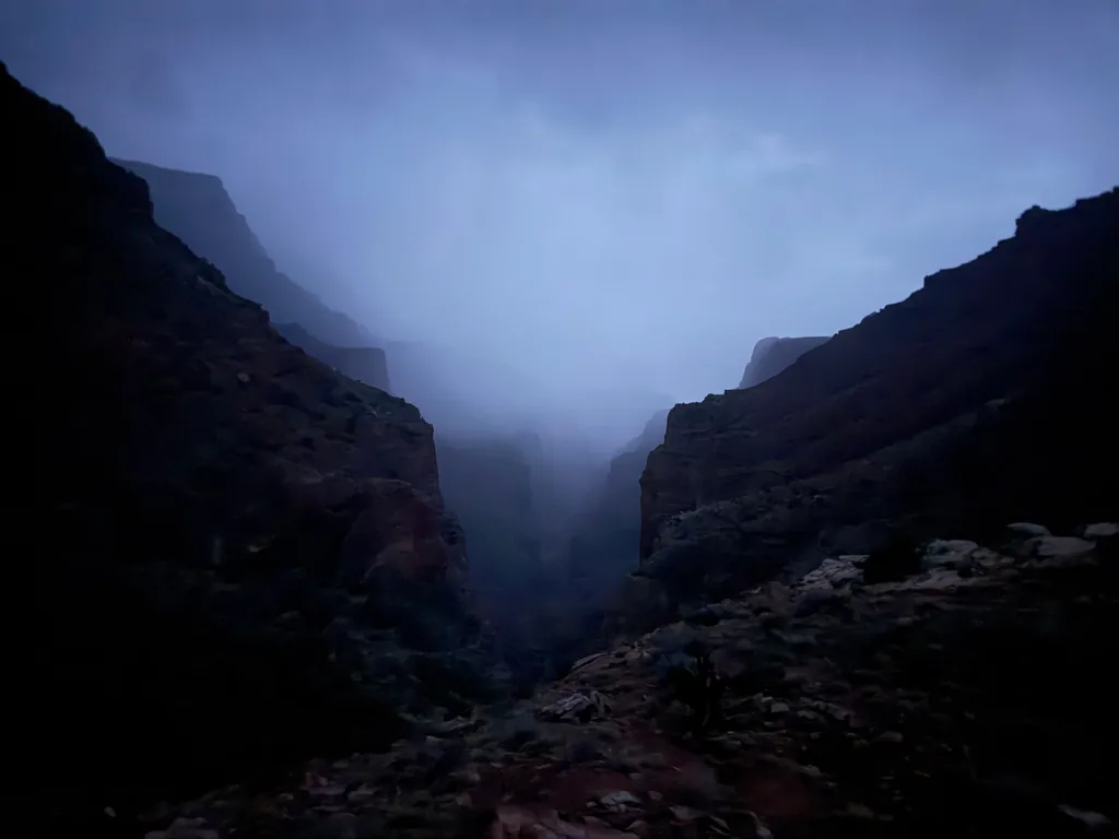
When I reached Seventy-Five Mile Saddle, with the clouds filling the canyon to the west in a most foreboding way, I stopped and had a serious think about this plan. Could I really do this? Kayaking on the Colorado River is already a terrifying prospect. Doing it in a little inflatable piece of plastic was slightly insane. And then carrying all this weight up and down the canyon? The cold wind forced me to make a decision, so I pushed onwards, somewhat regretfully, shivering a bit under the predawn skies.
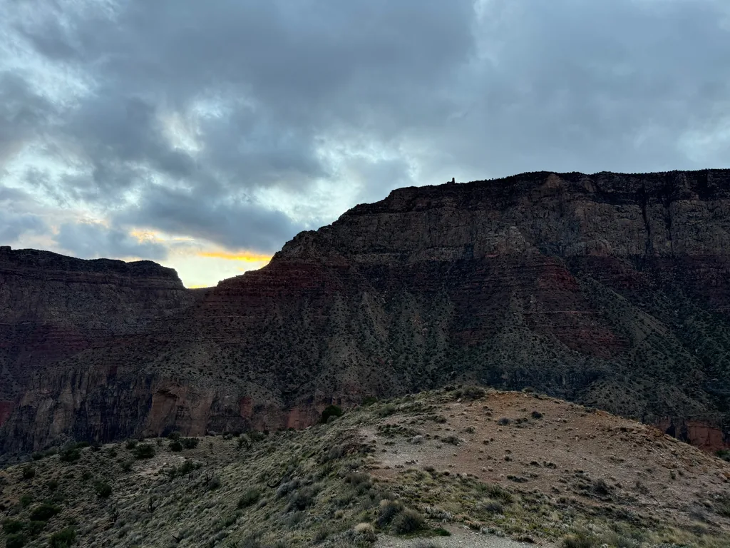
The next hour passed slowly as I traversed alongside Cardenas and Escalante Buttes. This section has good views, and the trail bucks up and down minimally, but I was pretty chilled and tried to push on with a quick step. Eventually the traverse ended and I dropped down, passing a few layers of rock, side-stepping the erosion damage from recent storms. Along the way I kept glancing down to the river and wondered if the weather today would force me to turn around early.
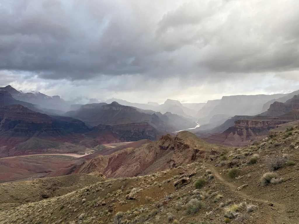
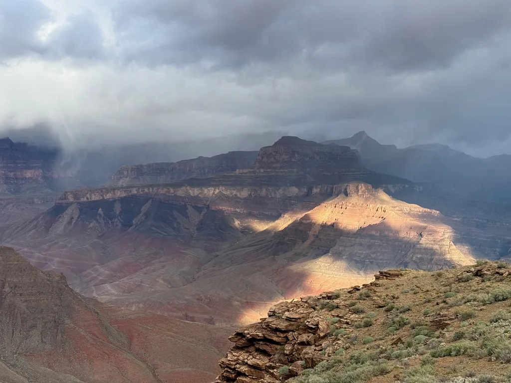
There were a few other people on the trail today. Two groups were heading up the trail and we shared intel as we passed. Close to the bottom, with the roar of the rapids echoing up the sides, a trail runner snuck up behind me and passed me with a quick step. Man, I was jealous of that small pack that he had. Trail running the Grand Canyon is definitely a stretch goal of mine. The minimal gear, quick outings, and low water requirement that some of these runners have boggles my mind.
I finally reached the bottom of the canyon and picked my way above the rapids, guessing at where I might land my packraft later today. Some recent shoreline damage confused me, but I eventually picked a spot near one of the campsites and left six liters of water behind a bush. Between that, and some quick rebalancing, my pack felt weirdly reasonable again, and I set out with a quick step, eager to start down Beamer Trail. After all, shouldn’t this be a flat and easy cruise, a welcome change from the morning’s steep and rocky downhill?
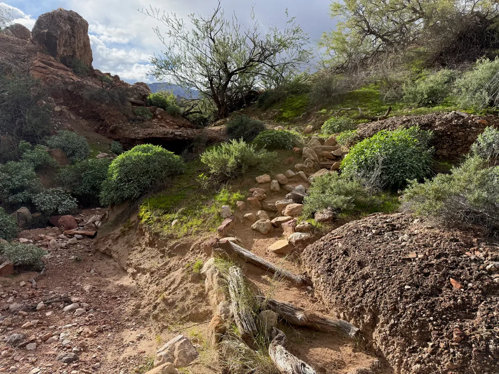
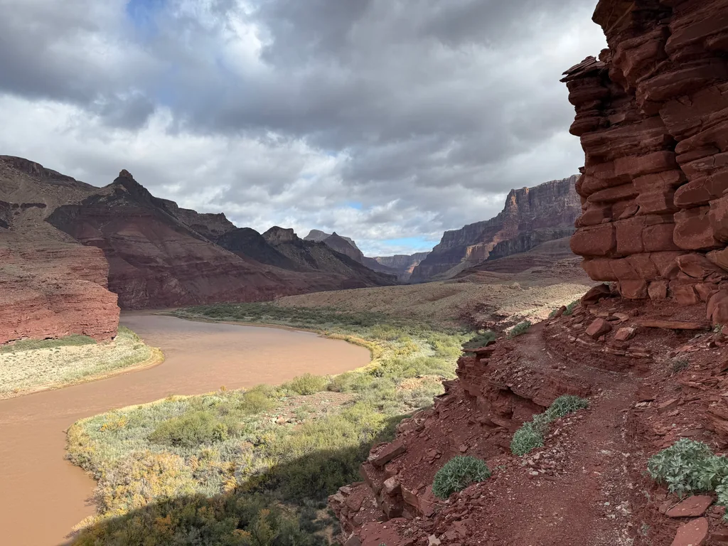
Beamer quickly climbed from Tanner, a relatively short hundred foot haul from the riverside to a series of tight red-rock cliff traverses. The little climb left me breathless. Man, did that morning descent with the heavy pack really leave me that depleted? Trying to ignore my shaking legs I pushed on, passing the five little drainages before the trail dropped down a rocky wash and settled down, staying mostly level with the river along a stretch of beach. I could do this.
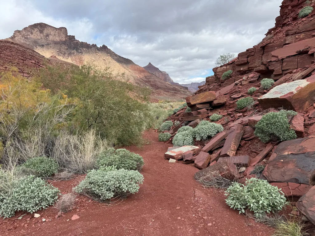
The next few miles were an eclectic mix. For the most part the trail was level, sandy, and easy to stroll along, with a few annoying wash crossings that were heavily eroded from the summer storms. There were a few times that it swung close to the cliffs, avoiding thick brush or a riverbend, and I had to look for small cairns to guide my way through the talus. I was supposed to be scouting some of the unnamed rapids here to decide if I could run them or not, and if not, which side of the river would make a better portage. Above all of this, though, was the ever present push of my tight schedule.
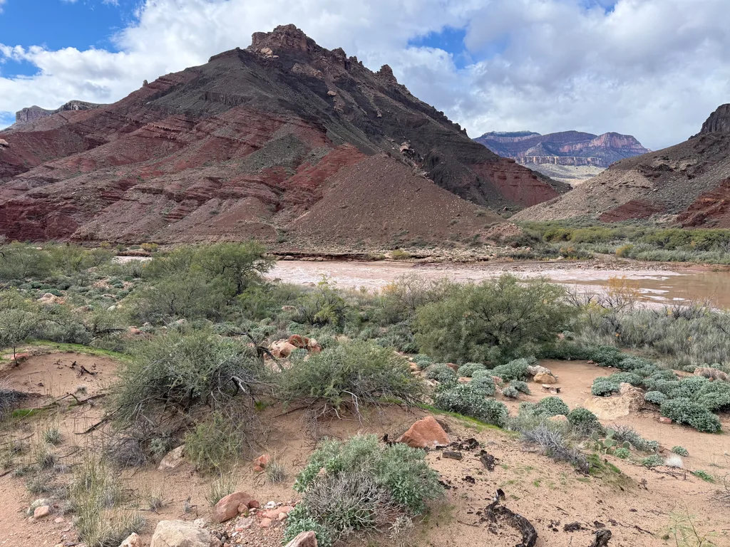
See, the timing was a gamble. Usually it’s best to put in on the river in the mid-morning, before afternoon winds crop up, which often blow up-canyon and can stall out a little packraft. This morning was different, with that stormy weather, and I was aiming for an afternoon put-in. Not too late, though… I did not want to be on the river after sunset. My cut-off was 2pm. In order to float down the river and return to Tanner before the sunset I had to put in at the LCR by 2pm.
Soon I passed Lava Rapids, the only named rapids along the stretch, a mandatory portage for my fledgling packraft skills, and, after a brief scout to confirm that river-right was the best portage, quickly finished the flat section of walking. It was time for the second half of Beamer. The first few miles are flat beach walking - the last six miles dance along the tops of a cliff, 300’ - 400’ above the Colorado, passing dozens of drainages. I trudged slowly, legs growing more tired from my constant demands, climbing up a steep ridge to gain the top of the cliffs. Maybe the packraft would give my poor legs a break.
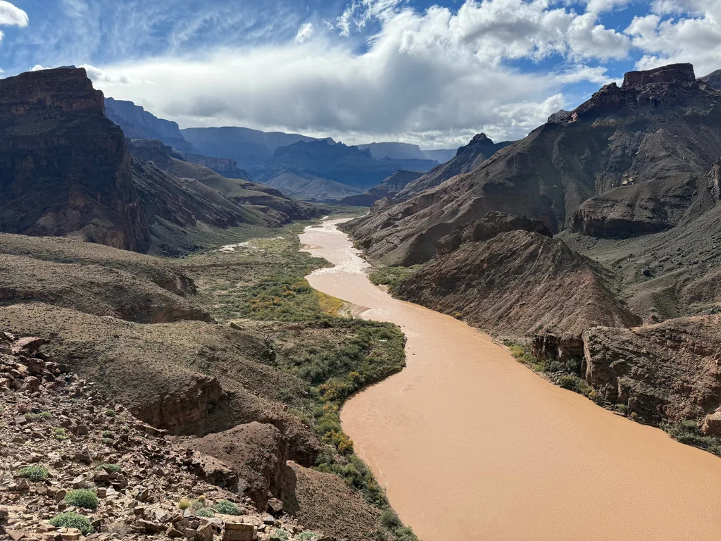
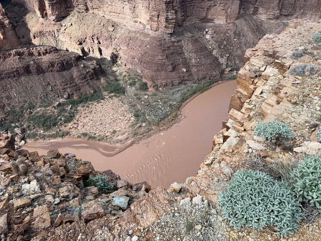
The views from the top of the cliffs were pretty darn cool, and it gave me a great vantage to scout out the rapids below. Most of my earlier research held up, marking which side of the river to portage on, and I felt more confident looking down at the smaller riffles, planning on trying to run them. Ah, I’m getting ahead of myself. I wouldn’t know if they were runnable until I was on the river itself. From there everything just looked like chocolate milk.
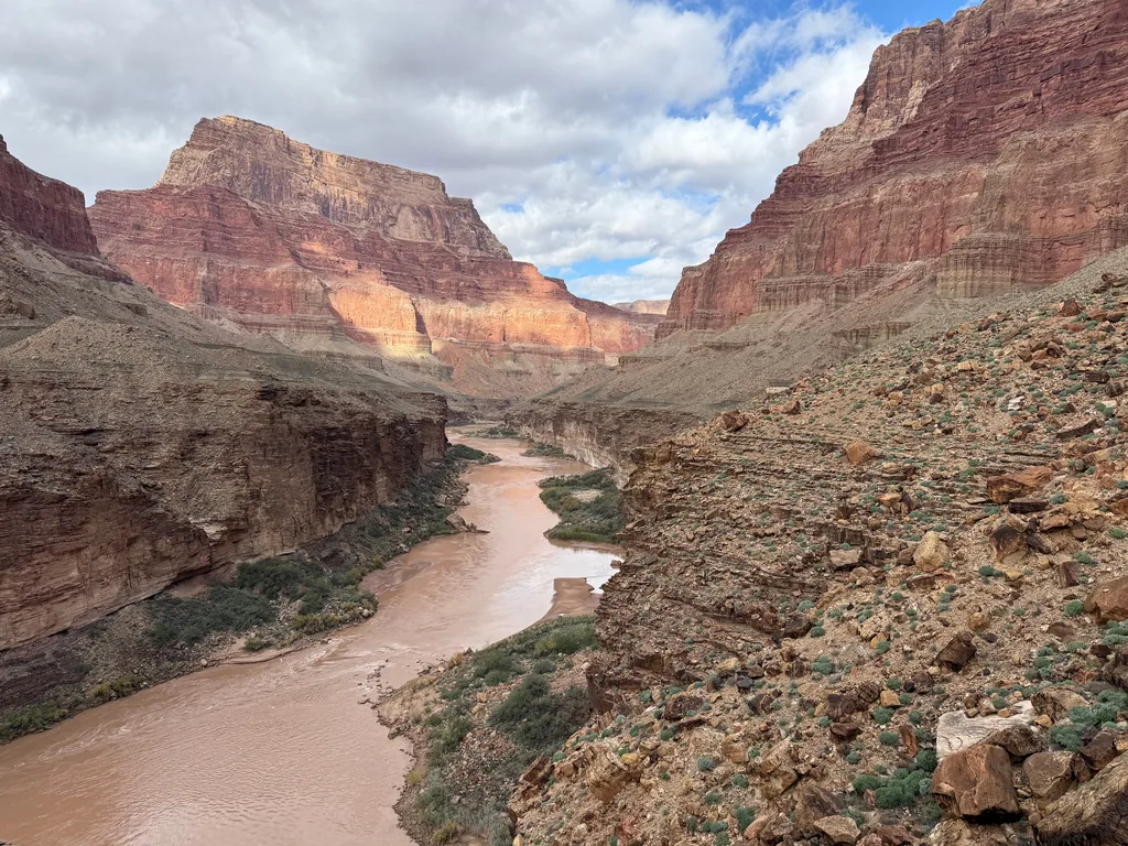
I continued along the cliffs, crossing one drainage after another. Some of them were easy, just a small sideways zig, and the trail kept more-or-less level. Others were more severe drops down, tricky navigation across loose rubble, followed by a steep, unwelcome climb up the other bank. This trail was more tiring than expected, and I found myself wishing I had started earlier this morning, daring the winds, if only to give myself a long lunch break instead of this constant push.
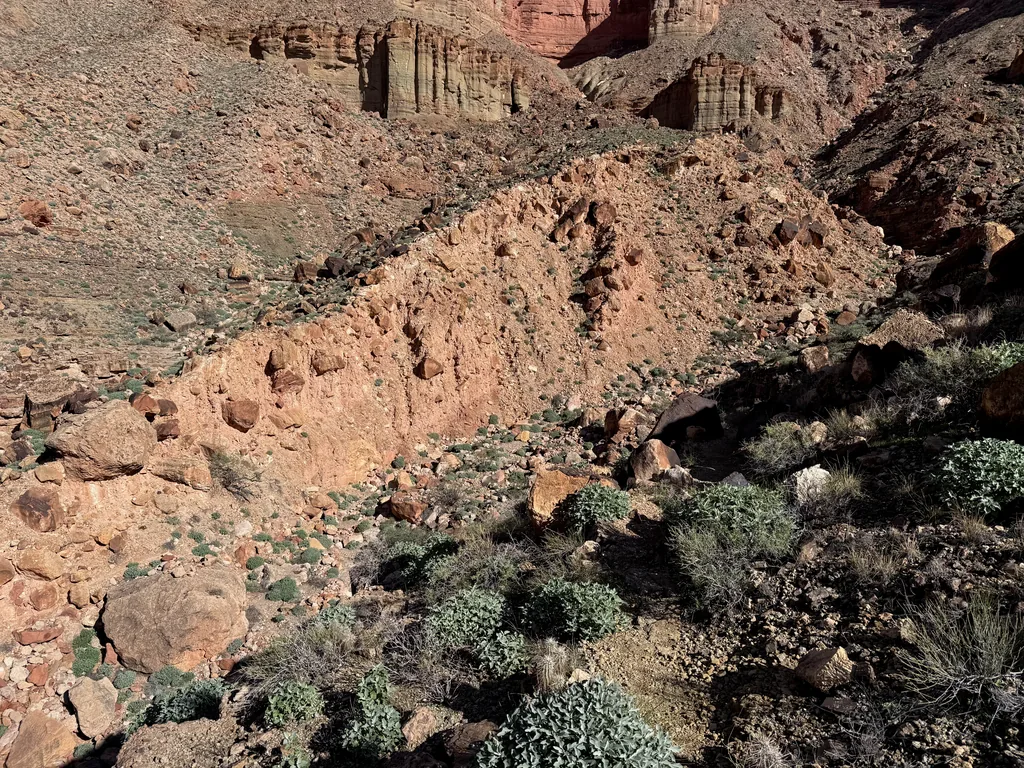
There were beautiful sections down here. Marble Canyon in general is gorgeous, and even though this is technically downstream of that, I was reminded several times of those smooth cliff walls. There were little scenes of beauty, too - the lush green along the hills, the colors of the rocks along the path, a bit of cryptobiotic soil. I marched along, tiredly, greeting the two groups I met along this section, willing my legs to keep moving forward, eager to reach the confluence and start the float.
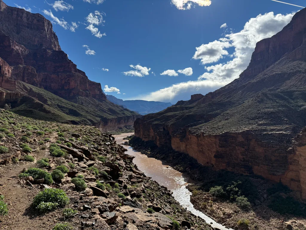
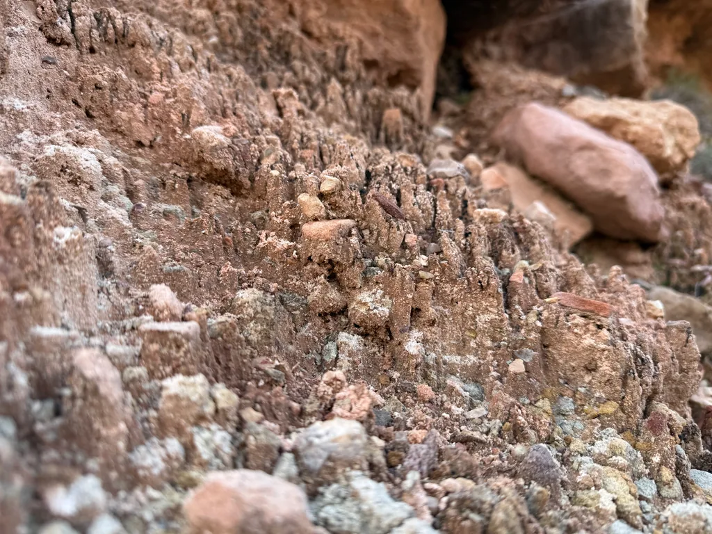
It was almost 2:30pm when I finally saw the confluence, the mixing of brown hues ahead, the dark brown from the Colorado and the milky brown from the Little Colorado River. Past the cutoff. Ignoring that, I tried to look for a good spot to drop down here, before the confluence itself, and start my float immediately. The bank was a mess of rocks below, though, so I sighed and continued on, turning before I reached Beamer Cabin, already planning to check it out on a future visit.
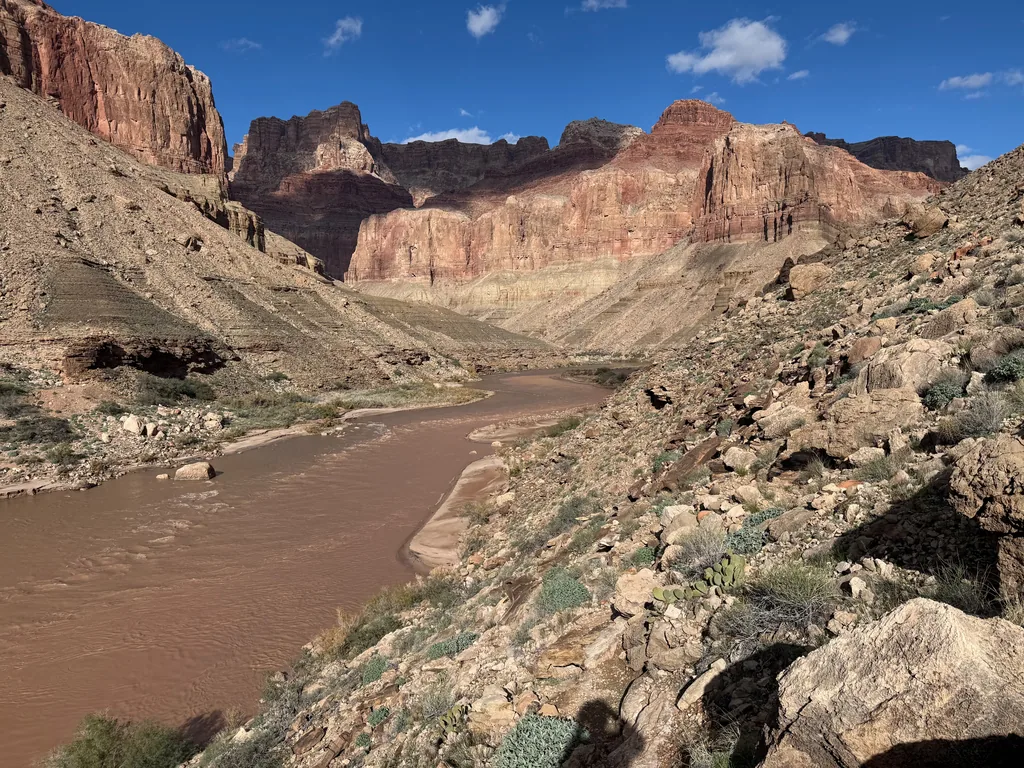
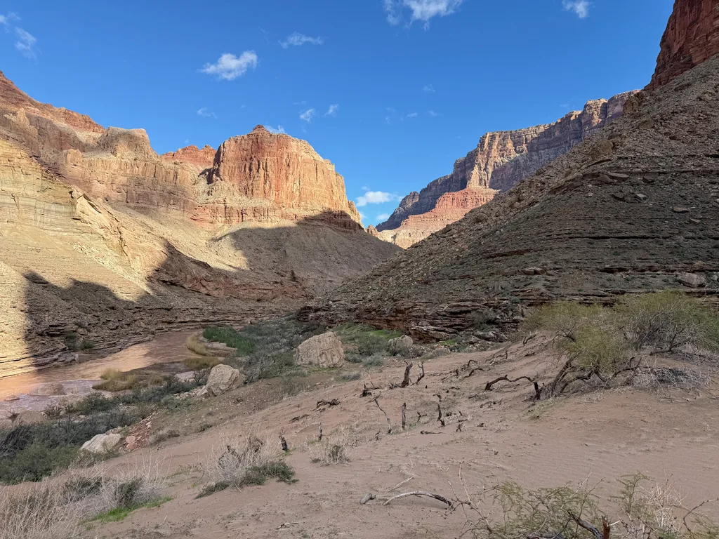
Reaching the end of the trail, bushwhacking through the sand benches, and getting to the edge of the water turned out to be quite a pain. The brush was thick, the sand was soft, and the mud sucked and grabbed at my shoes. There wasn’t a single place to put in, either. The Little Colorado had a small island, splitting at the mouth, and the bottom one (closest to me) wasn’t deep enough to float, and the top one meant crossing some mud flats. I was a muddy mess before I even set down my pack.
Moving with anxious energy, I quickly inflated the packraft with a small pump and secured my gear. I was going to do this as safely as possible. Most of my gear was inside a large drybag, strapped and locked onto the front of the packraft. My paddle was also hooked onto my packraft. I wore a merino wool undershirt and a rain jacket, an ad-hoc dry suit setup, under my PFD and helmet. If I tipped over there’d only be two things floating down the river - my packraft and me - and I could always catch up to my ride later.
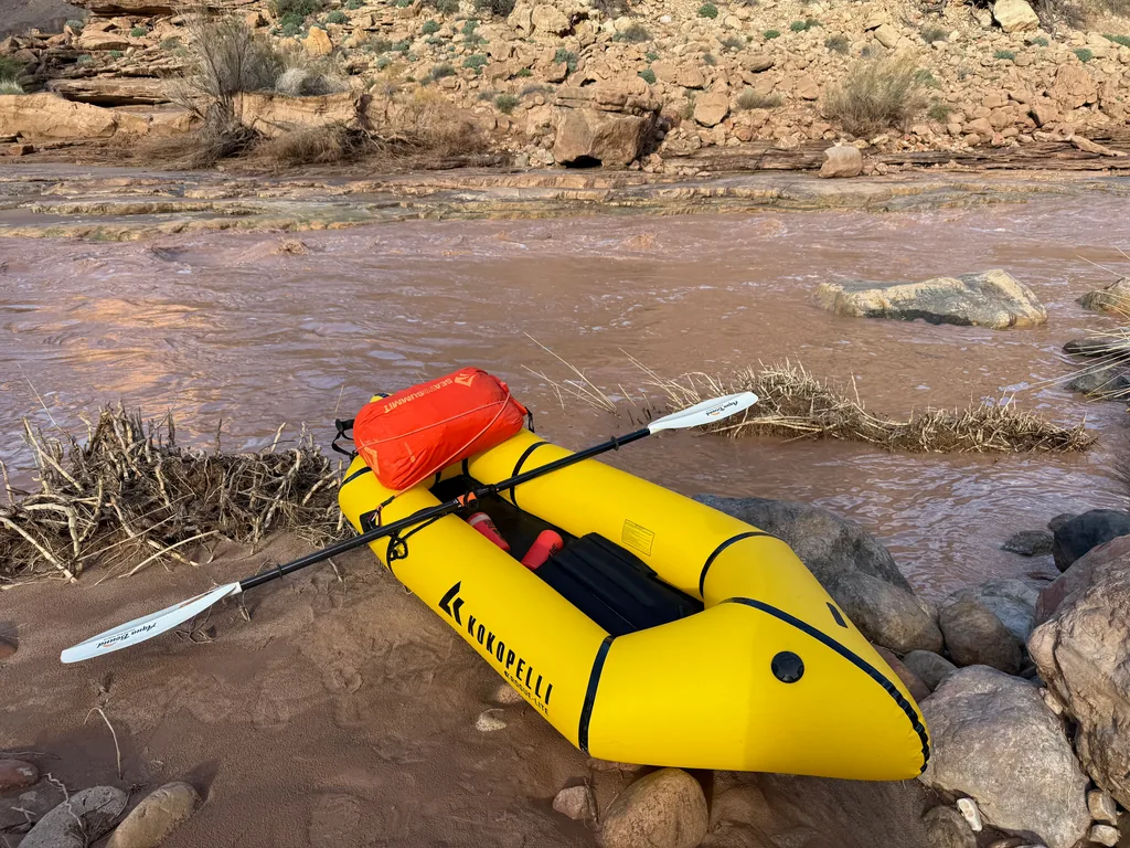
Taking a deep breath, I pushed out, right from the mouth, and felt the boat rock unsteadily, the weight of the pack a bit high. I slid the paddle into the murky brown depths, pushed forward, and immediately ground to a halt. Really? Less than 10’ and I was already grounded. This thick soup hid anything that was more than 1/2" deep. I tested the water with the paddle, then stepped out, dragging the packraft behind me until I cleared the first set of riffles at the confluence. Might as well put in with flat water.
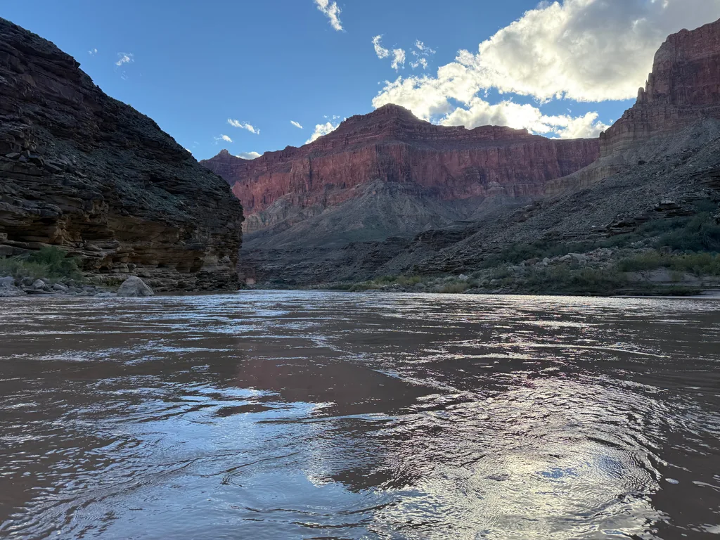
The confluence behind me and the roar of some rapids ahead I paddled quickly, crossing the river, and started my second portage. It was darn close to 4pm. My mind was swirling, terribly anxious about the time, and I was trying to tell myself it would be okay. Even if I had to walk most of this, the river would still be flatter and quicker than Beamer Trail above. All I had to do was make it past those cliffs, the ones that Beamer rides on top, and get back to Lava Rapids before sunset, and I could night-hike the rest of the way out.
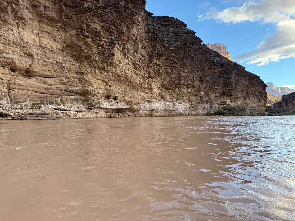
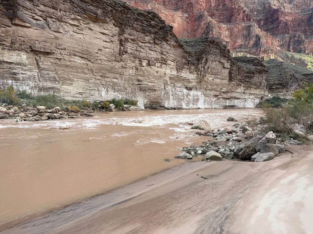
The third portage was a tough one. A long sandy beach made for a tempting spot to disembark, and I immediately sank up to my knees, then thighs, into the quicksand-esque ground. Crawling, covering my whole front in mud, until I got to a drier section, was the only way out. Maybe I’ll try to use rocks for the next exit.
There were three more portages - although one was a quick one, just making my way around the front of an island before putting back in. As I continued I began to grow more confident, running a few of my planned portages, enjoying the little rides that the waves, some of them taller than me (in the raft, anyways), swung me along. I did grind on a few more rocks, which was nerve-wracking, especially when I was mid-river, too far from the shoreline to trust the depth. Some rocking, some paddling, and generally moving my weight around in the tiny craft was all I could do. The sky began to darken just as the cliffs to my left began to drop, and I pulled up to the beach mere yards before Lava Rapids with enough light to pull my gear back to the trail.
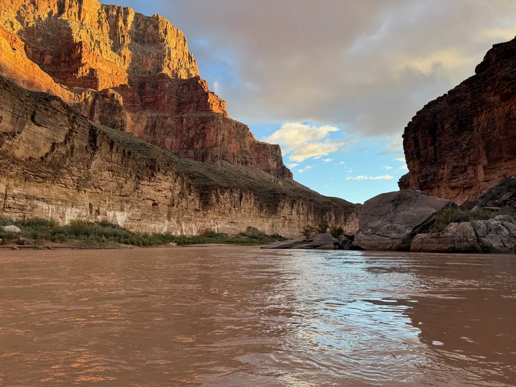
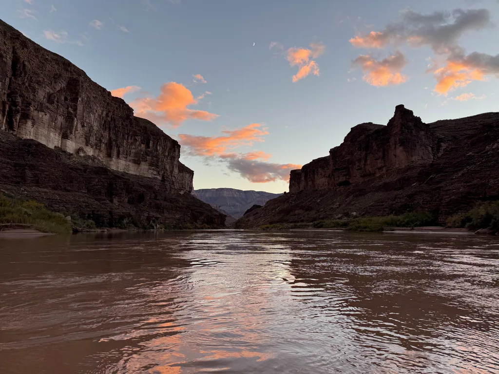
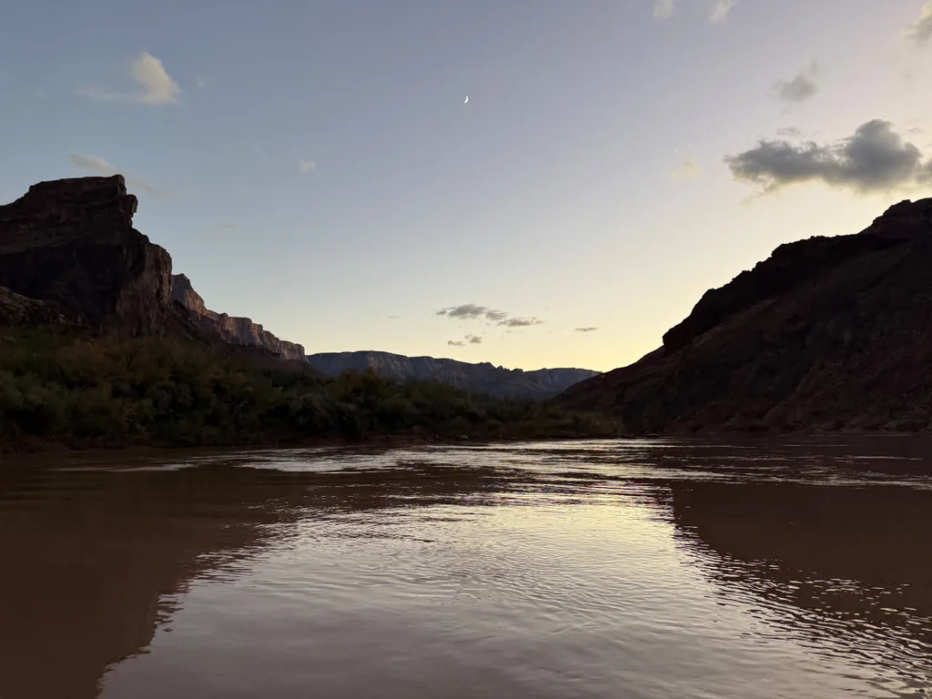
Shivering, wet and muddy, I changed back into my hiking outfit, thankful for my dry clothes and the one extra shirt I had brought, which I used as a towel. I shoved things back into my pack, carefully putting all of my wet gear into dry bags for now, and then donned the headlamp again. While I wasn’t at my planned pull-out at Tanner, and there were four miles to hike to get to my water cache, I had hiked the darn Beamer and floated the darn river and made it out alive. Now I just had to hike out.
A few hours later I reached Tanner Beach, refilled my water, packed everything fresh, and began the slow haul up the Tanner Trail. There was no one else out here, and soon the crescent moon also set, leaving me in the clear, starlit sky. The temperatures dropped quickly and I got my rainjacket back out, then my stocking cap, then my buff. I wasn’t moving fast enough to sweat much, not with my tired legs and this still-heavy pack, and I had already sent Katie a message, letting her know that tonight was going to be a very, very late night.
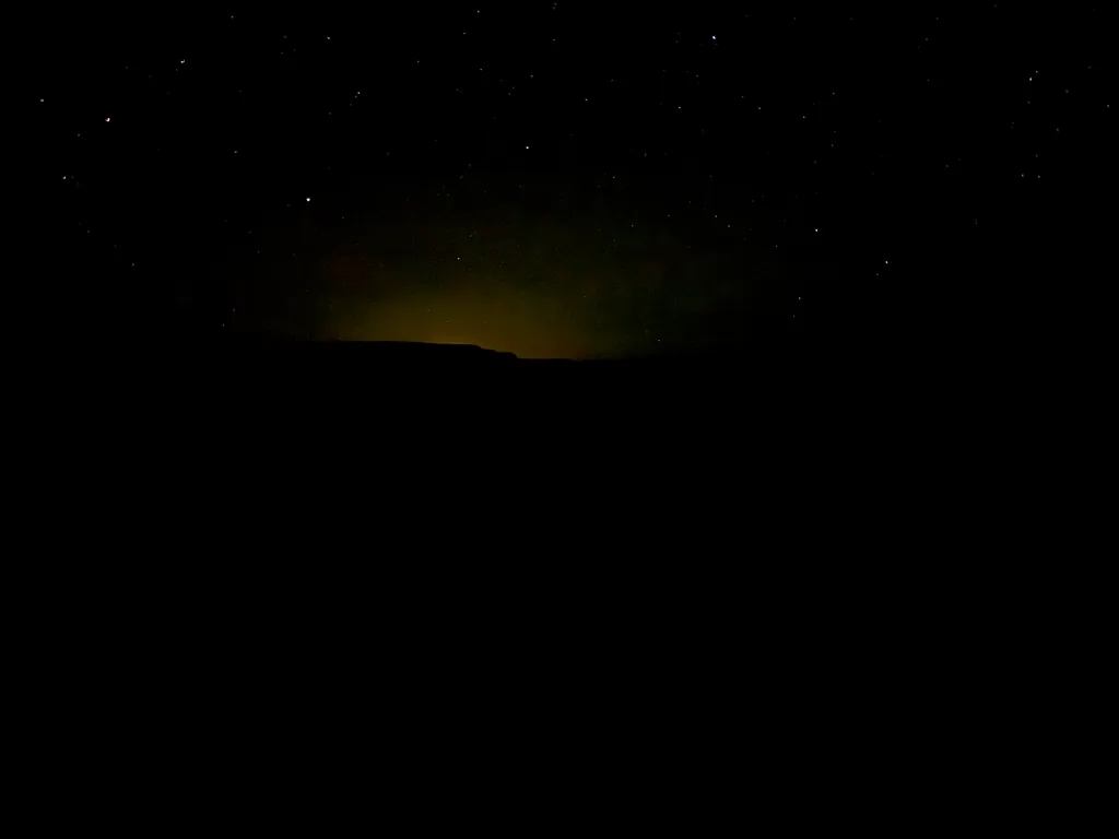
It took me close to six hours to get back to Seventy-Five Mile Saddle, where I had stood and thought about bailing so many hours ago. The last mile was the worst, taking me two and a half hours, a new record for my longest mile. I thought about stopping a few times, trying out my emergency blanket and trying to get a few hours of sleep, or even a long break. The temps were so cold that any pause more than a few minutes long left me shivering. Stubbornly I continued on, finally reaching my car after 5:30am, somehow still standing after a full twenty-four hours of hiking.
This ended in a death march, sure, but man, it was fun to experience the canyon in a different way. And, even though I’m glad I waited until the afternoon to put in, I really wish I had started at 3am or earlier. An earlier start could have given me more time for breaks during the hike, and I could have put in earlier, and I could have floated all the way to Tanner, saving myself hours and miles of extra hiking. However, given the difficulty and the unknowns, I’m rather happy with how all this turned out, and yes, I am already scheming on what other sections of river I can float in the future.

Comments
No comments yet — be the first.
Add a new comment
Posting a comment requires JavaScript, for spam protection (Cloudflare Turnstile). Enable JavaScript to leave one — you can still read every comment above without it.