It had been a year since my last adventures in the Grand Canyon, the spring visits to Hermit Trail and the Escalante Route, and I was eager to get back out there. Somewhat eager, anyways. These big dayhikes in the Grand Canyon are a bit exhausting to do solo. Even today’s plan, where I would start and end at the same trailhead, came with an asterisk. Hermit’s Rest is only accessible (for most of the year) by a shuttle bus with limited hours. I needed to get there early in the morning, so again, I was on my bike in the dark, buffeted around by gusty winds, bursts of rain falling down around me. Hopefully an early start would lead to a late-afternoon ending, and I could take the bus back to my car.
Took me close to two hours to bike those road miles, way longer than I wanted it to, and I didn’t get to lock my bike up until three in the morning. Which is still crazy early to start a hike, I suppose. The sky was filled with clouds, no stars or moon shining through, and Hermit’s Rest was barely illuminated by my headlamp and filled with the eerie sounds of nighttime winds. Shivering in the wet cold I headed out with a quick march, eager to descend into the canyon, optimistically hoping to beat the sunrise. Hermit Trail is just over six miles long, a somewhat reasonable predawn distance, and it’s one of the better constructed off-corridor routes.
A thunderstorm out west kept distracting me as I walked down. It was distant, far enough away for the thunder to fade away long after the bright flashes, yet I was still worried about it. That short rain squall this morning had been completely unexpected and I idly wondered if it was a warning for more wet weather. I trotted along the path, trying to make quick time down the rocky way, trying to keep focused on the trail in front of me and not spiral about the distant storms.
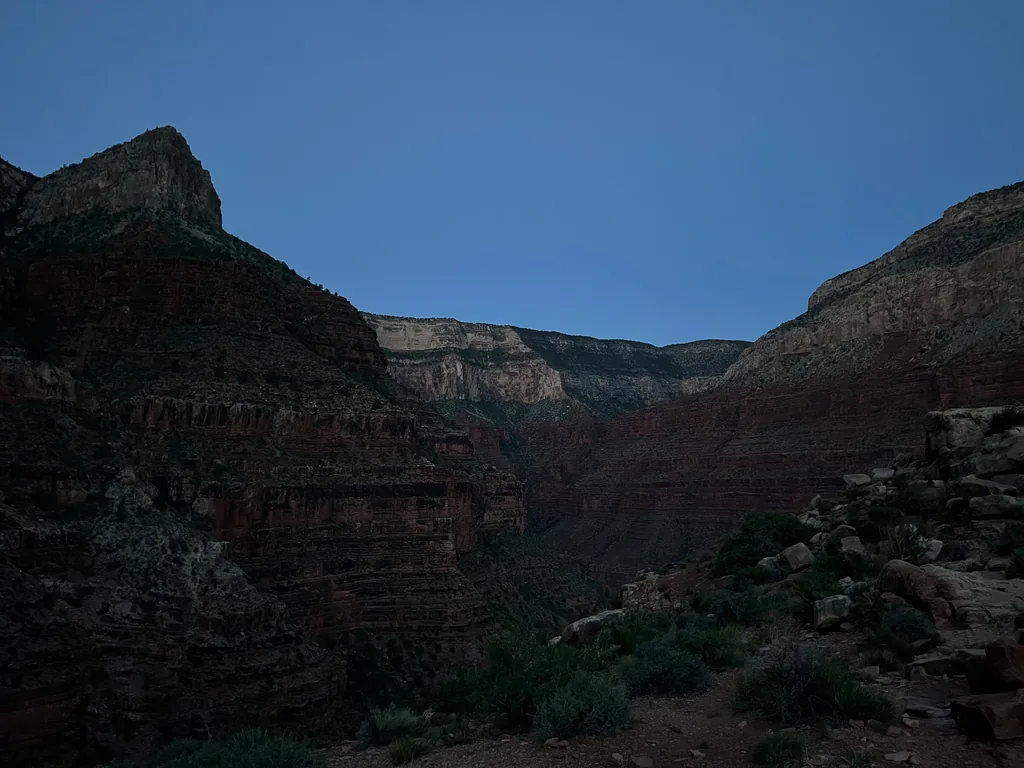
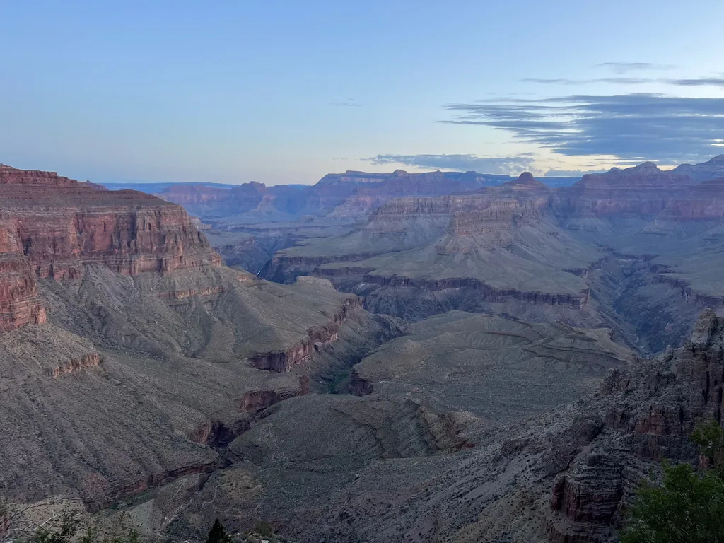
The sun won, as it usually does, lighting up the far side of the canyon as I started down Cathedral Stairs, a wonderfully tight set of switchbacks expertly designed up a small notch of rock. This trail is pretty darn cool. I tried not to mind my schedule already slipping. Probably could skip a break along the way, or try to make up time on the flat, relatively easy Tonto Trail, or maybe my planned ascent up Boucher Trail would go quickly.
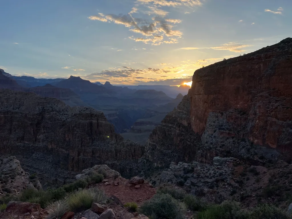
Reaching the Tonto Trail junction, which was still shaded from the nearby ridge, I bumped into a group of women preparing to head up Hermit Trail. They were a bunch of moms, at least two generations, who had been doing crazy adventures over Mother’s Day for years. Man, that’s cool. I also felt pretty bad about ditching the kids on Katie, even after checking in with her a few times as this plan came together. Maybe next year I can trick her into a Grand Canyon trip to celebrate this weekend.
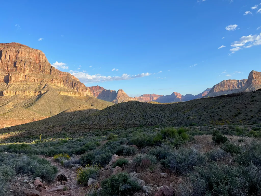
Less than a mile later and I was at Hermit Creek, eager to pull some fresh water and rest my legs for a bit. I was carrying a wonderfully light pack today, depending on Hermit and Boucher to keep me hydrated. It was quiet here, along the Tonto Trail crossing, most of the overnight crowd having already packed up early and headed out to the next destination. Even that group of women, who had spent two nights here, were barely visible high up the side of the canyon, well on their way to escape the heat.
I pulled some clear, cool water, filtering a few liters with no problem, before heading down past the restroom and campsites. Even with my schedule slipping I wasn’t willing to miss out on my first detour, a hike down the rest of the creek to the Colorado River. I’d likely have to skip Boucher Creek’s descent later in the day, and was okay with that, but I was eager to see this creek and Hermit Rapids below.
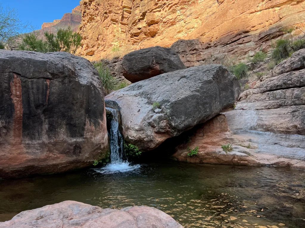
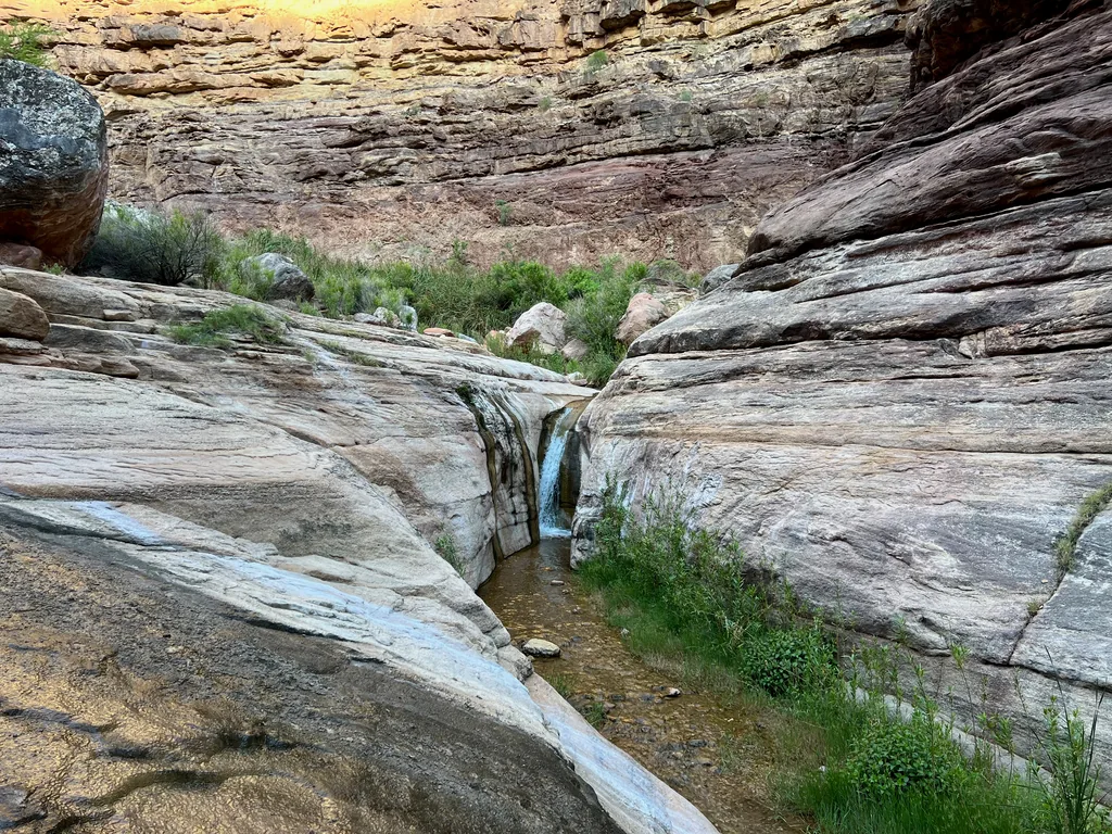
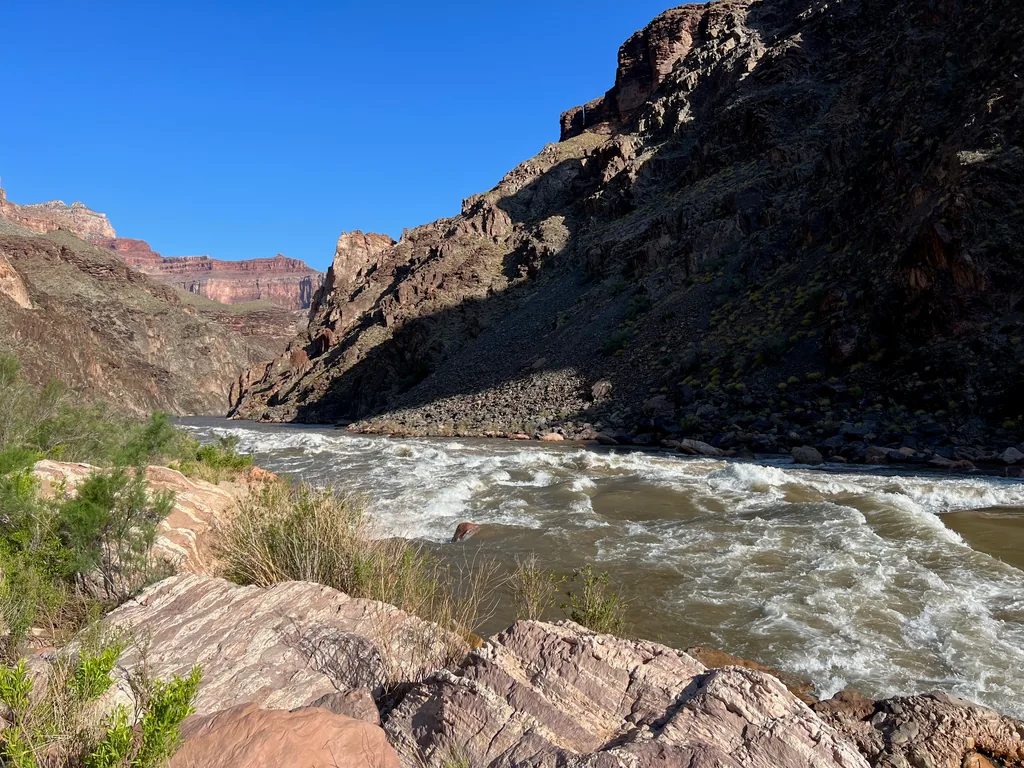
The walk down was quite pleasant. Someone, either the park or the river or the trail makers from long ago, had done a great job building up little stairs and paths, all of which had survived many seasons of flooding. I zipped down, enjoying the sounds of trickling water and cool shade in the narrow canyon, and then checked out the roar and bluster of the rapids. Near the bottom I pulled another liter to be safe before returning to the Tonto Trail, pack and belly full of water, feeling ready to tackle the exposed miles of the Tonto.
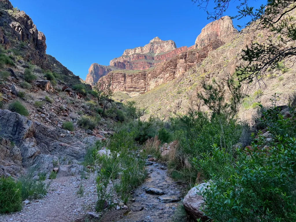
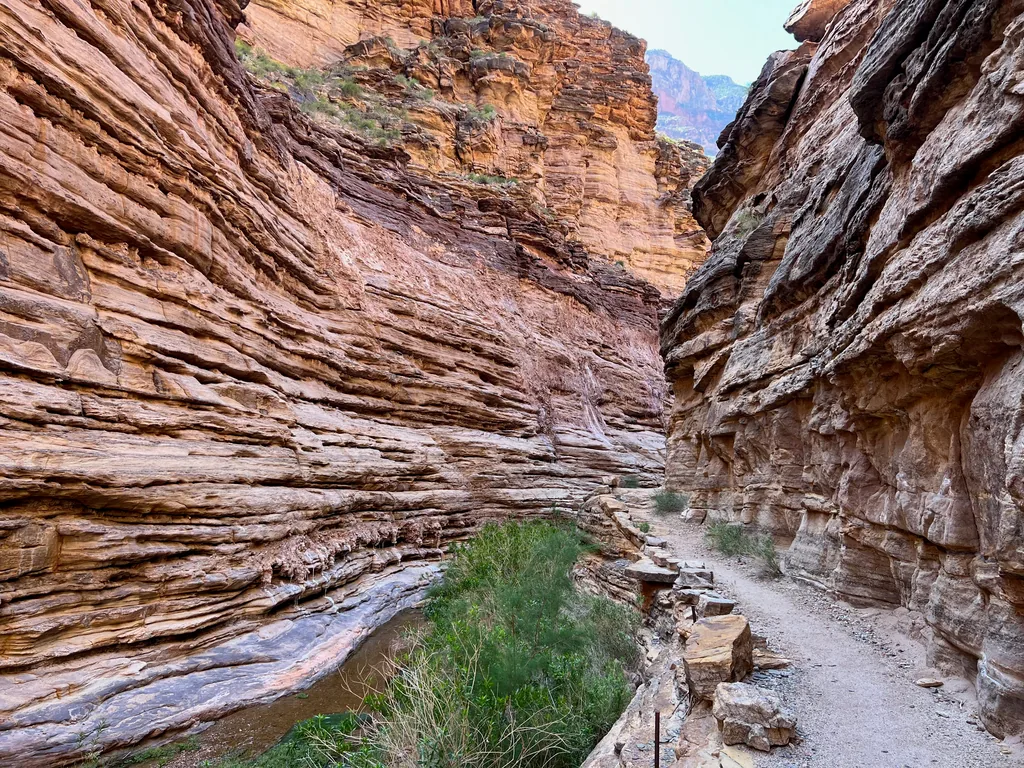
Three hours after reaching the bottom of Hermit Trail I was back on the Tonto Trail, making my way around the very rim I was just gazing up at. The weather had warmed up substantially, any concern of thunderstorms or rain gone from the clear sky. Sweat came easily on the open trail, no wind or shade for respite. I only had four miles to go before Boucher Creek, one big drainage to cross (Travertine Canyon), and I tried to make quick time on the flats.
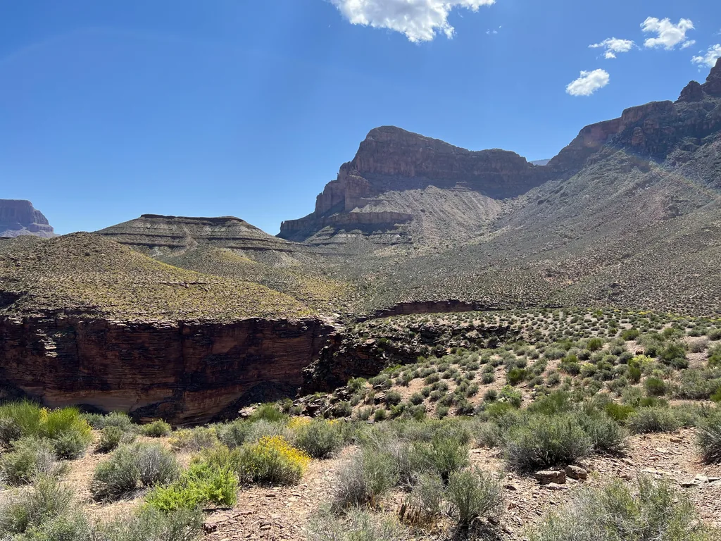
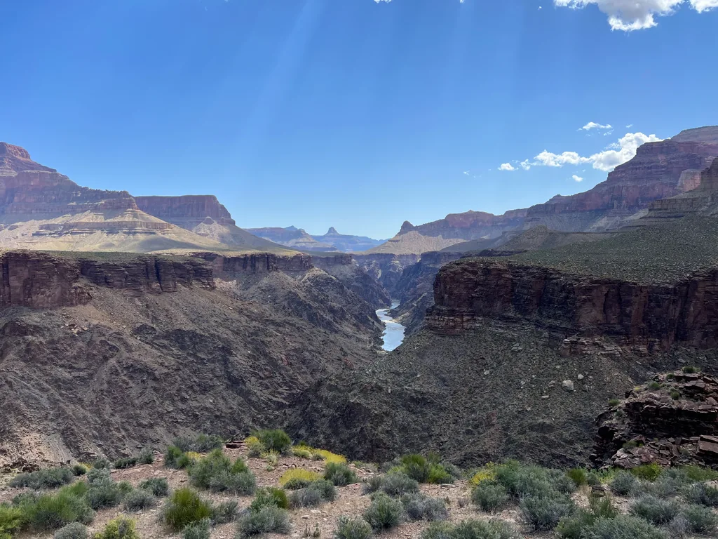
Those four miles dragged. The trail was kinda flat, only the slightest of uphill grade, and the drainage had only the most minor of confusion. Still, it was already hot down here. Hiking in the Grand Canyon is such a set of extremes - early morning starts in the icy cold highlands, long days in the heat, and then the afternoon hauls up steep slopes. I wondered, not for the first time, how it would be to completely flip the order and spend the night hiking down here.
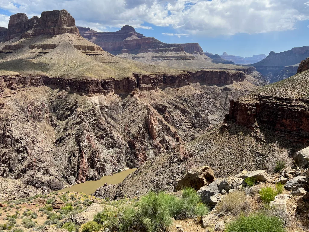
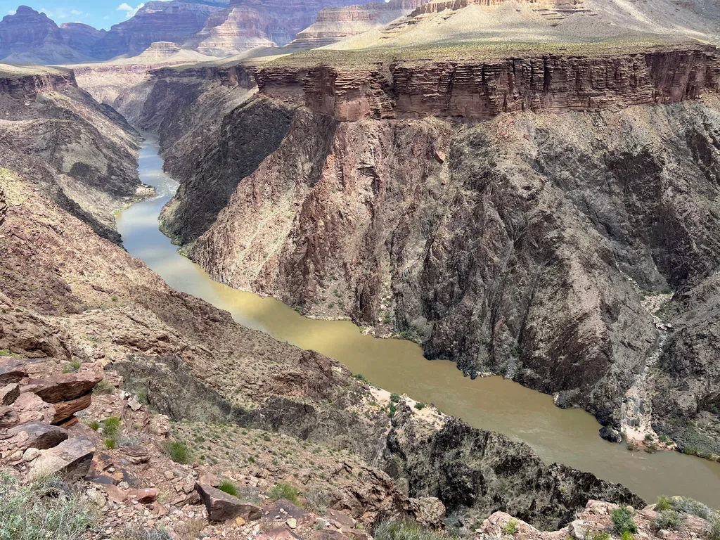
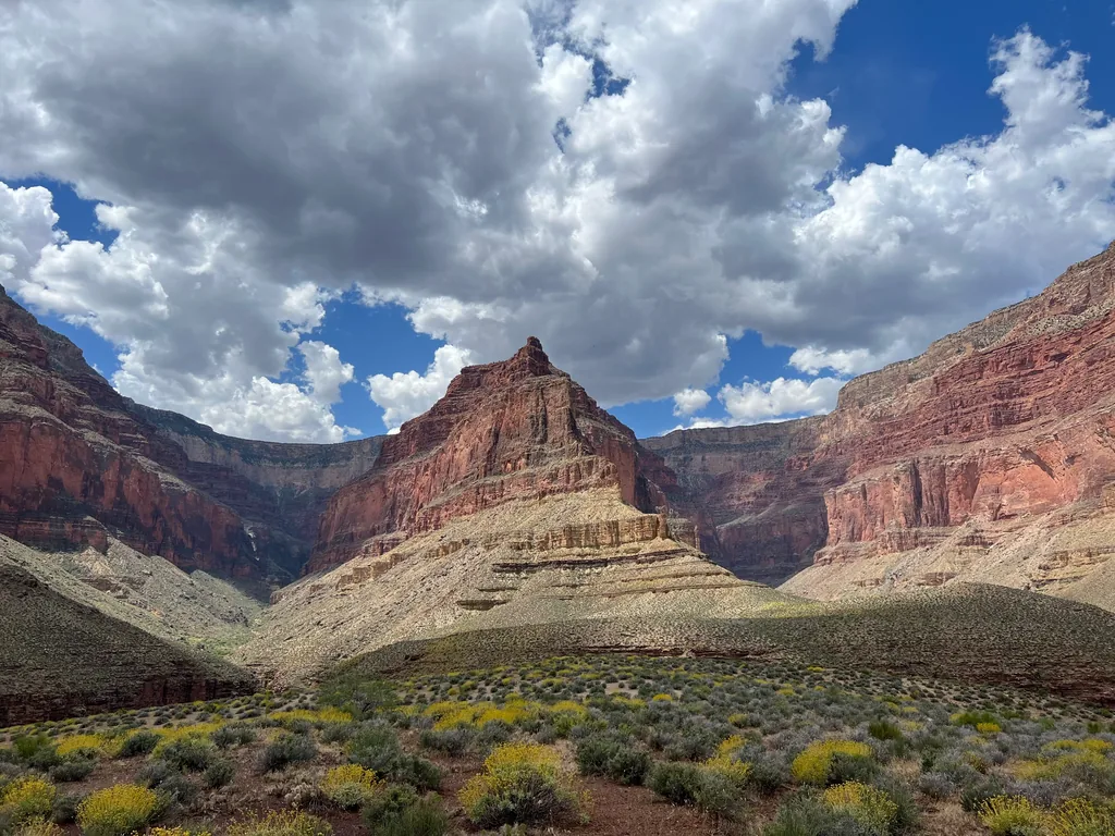
Before Travertine Canyon the trail swung to the north, offering some good views down to the Colorado, although it was past the canyon when the trail really did a good job hugging the edge of the cliffs. I drank up these views eagerly. This was the farthest west in the canyon I had been, and I really enjoy how the rock layers and vegetation changes. The east side has that wonderfully steep “Marble Canyon” structure next to the river with tall, loose hills of multi-colored sand crumbling above, and out here the river cuts deeper into the harder basement layers, dramatic dark schist and pink granite, with the crumbly Tonto layers on top. Somewhere further west from here were the Esplanade layers, and Thunder River and Kanab, wild areas that I had yet to gaze upon.
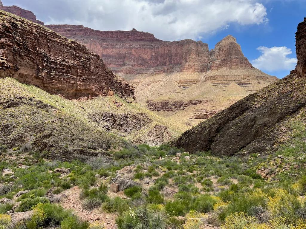
The Tonto Trail finally made a big curve to the south, the last big curve, and then I reached the junction with Boucher Trail. I could turn up Boucher Trail, which immediately climbed up a narrow gorge between Whites Butte and Cocopa Point, but I needed a break. Instead, I continued on the Tonto Trail, trotting down a few sharp switchbacks until I was next to a rocky wash. It was a bit confusing - there’s a marked spring that flows out of the same gorge that I would have to climb, and I could hear it roaring, but that water was completely swallowed up by the time the trail crosses the flow. I had to continue on a few hundred yards to the actual Boucher Creek, which flows in from the west, and pull water from there instead.
Slightly cooked from the Tonto, dreading the upcoming 1800’ climb, I took a long break here, drinking my fill and eating a healthy lunch. Part of me was a bit worried about my schedule. Eh, I could always ride my bike back if I missed the bus. For now I rested, hunched in a corner of shade, filtering water and bolstering my nerves for the long haul out.
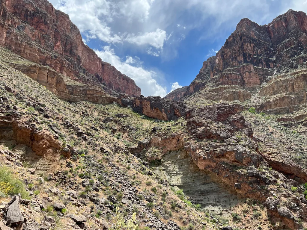
The climb was pretty rough. This trail was not as rough as some of the off-corridor routes, like Nankoweap and New Hance, although it was definitely more rugged than Hermit Trail. Switchbacks were tight, steep, and crumbly, and then they gave way to the bottom of the gorge itself, and I found myself pulling up on trees, brush, and boulders, giving up on following any sort of GPS or marked pathway. When I finally reached the top, swaying a bit from exertion, I gazed around, somehow feeling like I was on top of the world and at the bottom of the canyon all at once. Travertine Canyon, which I had initially crossed hours ago, cutting an impossibly deep gorge directly in front of me again, didn’t help the disorientation.
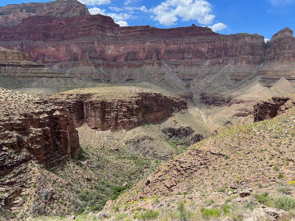
Boucher Trail, after climbing from Boucher Creek, makes a ridiculously long traverse from here, five miles of dancing along the top of the redwall, reminiscent of Nankoweap far to the east. The first few miles are spent just getting around the deep cut of upper Travertine, swinging deep to the southwest. After crossing the canyon the trail then hauls up a break in the red rock, minor scrambling and guessing at the route, and then swings around Yuma Point and cuts even deeper to the south, this time to swing around the cut of Hermit Creek. Going by pure distance this loop hadn’t extended my reach into the canyon by much, a few more miles west, but the huge ridges and deep canyons make for lengthy detours and opened up big new views.
After the redwall break the trail narrowed to the slimmest of paths, squeezing between boulders and sloping downhill, almost trying to trip up unaware hikers. I was slightly terrified, my legs tired from the hours of hiking, and was glad that I had brought my trekking poles along on this adventure. Afternoon clouds began to accumulate without much warning, quickly gathering across the rim, and I enjoyed the shade and cool breezes that came with them. All in all this section was tough, attention-grabbing, and wonderfully beautiful, and I vacillated between awe and terror.
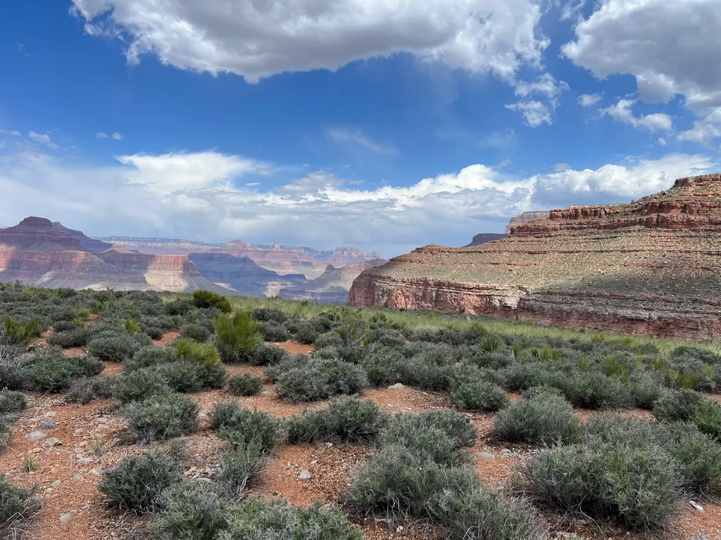
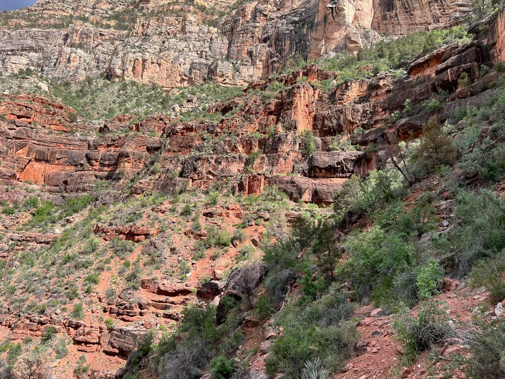
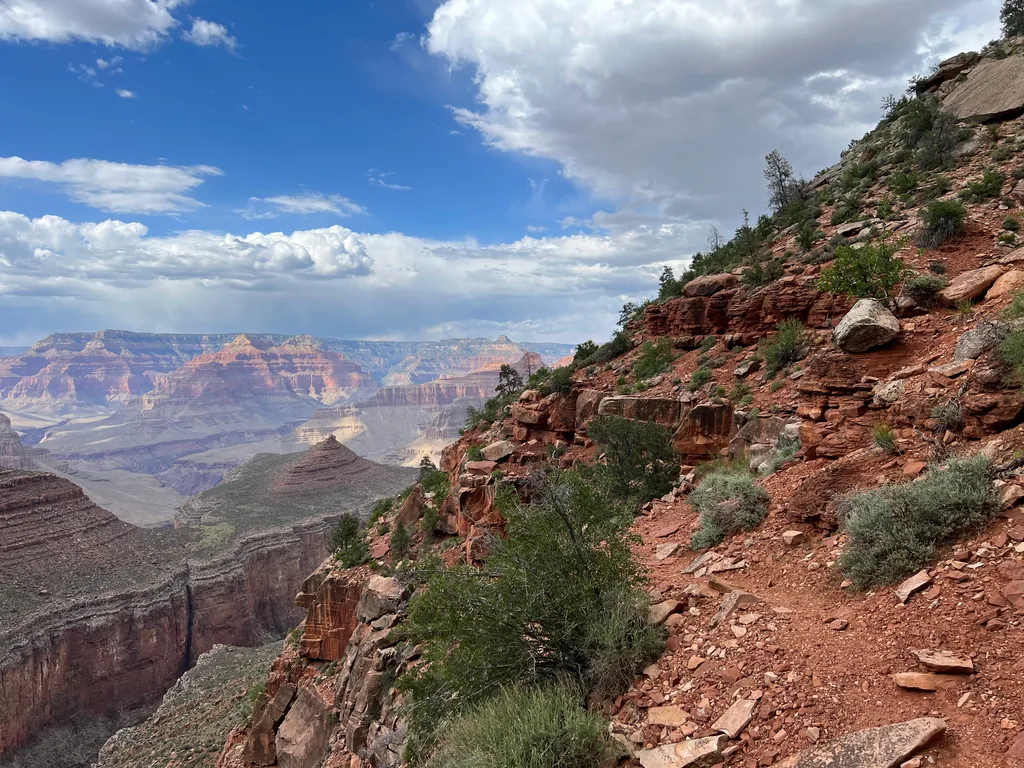
As the trail continued around the cut of Hermit Creek those storms approached, storming on Hermit’s Rest across the way, and I wondered if I’d have to shelter today. Luckily, they stayed south of the creek, cooling the temps where I walked, still dry. I made quick time along here, eager to get back up on the rim. With little pause I passed by the junction with Dripping Spring, which climbs up the rim to the west, and began heading east instead, closing the long loop.
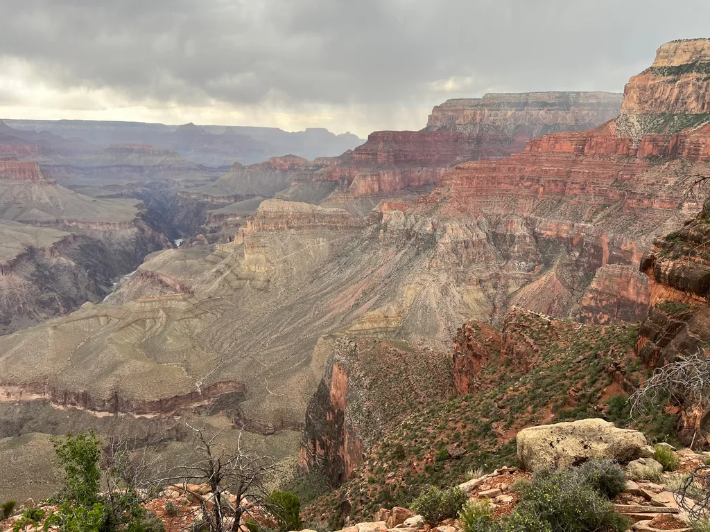
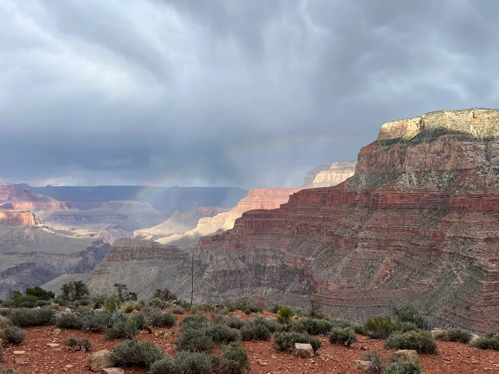
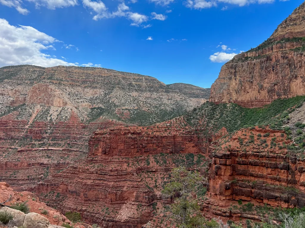
The last few miles did drag a bit. Connecting with Hermit Trail had a few small dips and climbs which were taxing, small feeders that flowed down towards the creek below. As soon as I connected with the trail there was the last climb, a sudden 1400’ over 1.5 miles. I powered up, enjoying the cool temps from the recent rains, invigorated that I’d be finishing this hike in the daylight. With a last gasp I stumbled up to Hermit’s Rest itself, which was already closed, grabbed my bike, and started the pedal back.
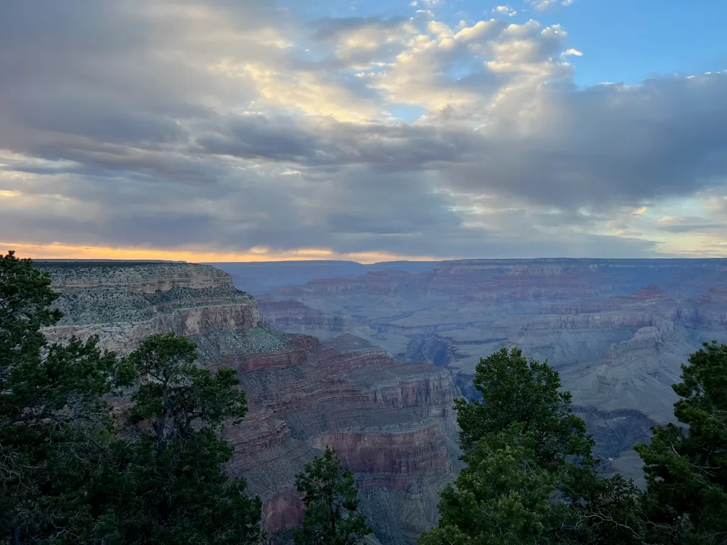
My legs were toast. I made it a few miles back on my bike, shaky legs rejecting each and every uphill climb, before I gave in and walked to Mohave Point and caught one of the last shuttles back to the village. The shuttle buses had racks in the front for bikes, easy to roll up on, and although I was the only sweaty hiker on the bus, the driver seemed used to transporting bikers and backpackers in my state. I made it back to the village, tired and happy, loaded up my bike, and began the drive home, satisfied for now with the Grand Canyon urge. Didn’t know at the time that it would be three long years before I’d drop below the rim again, this time from the North Rim, farther west than I’d ever been.


Comments
No comments yet — be the first.
Add a new comment
Posting a comment requires JavaScript, for spam protection (Cloudflare Turnstile). Enable JavaScript to leave one — you can still read every comment above without it.