Some hikes in the Grand Canyon are simply iconic. Every trail and view is special, sure… natural wonder and all that. Some adventures just hit different. For masochistic athletes there is the Rim-to-Rim-to-Rim, close to fifty miles in length, hiking from side of the canyon to the other and back again, using the main corridor trails for established water and restroom facilities. Backpackers looking for a more remote experience can do the Royal Arch Loop to the far west, with challenging scrambles and limited water availability. There’s also Beamer Trail that leads to the colorful Little Colorado River confluence, or the Nankoweap for a truly epic dayhike option to ancient graneries near Marble Canyon. My last few hikes in the Grand Canyon had been great on their own, although I had a second, secret agenda: training up for one of these iconic adventures, the Escalante Route.
The Escalante Route, from west -> east, starts with a tricky descent down the semi-maintained New Hance Trail to the bottom of the canyon, next to the Colorado River itself, before turning east on the Tonto Trail. A number of obstacles along the Tonto Trail make for scenic stops on their own, including Papago Wall, Seventy-Five Mile Canyon, and Furnace Flats, before ending at Tanner Canyon (although the Beamer Trail continues eastward from here). Then you turn and hike up Tanner, the easternmost trail that drops from the South Rim, and exit near Desert View. It’s a long, dry route, that has surreal formations and colors surrounding you the entire way. It was early in 2022 when I decided to tackle this as a dayhike, driving up the day before and spending the night car camping along FR 682. I parked at Lipan Point, the trailhead for Tanner Trail, and biked East Rim Road to New Hance Trail, buffetted by a cold headwind and struggling to keep upright. The first few miles down New Hance was a teeth-chattering fever dream in the dark, tight switchbacks and boulder scrambles, and when the sun began to lighten the far rim I welcomed the coming heat with gratitude.
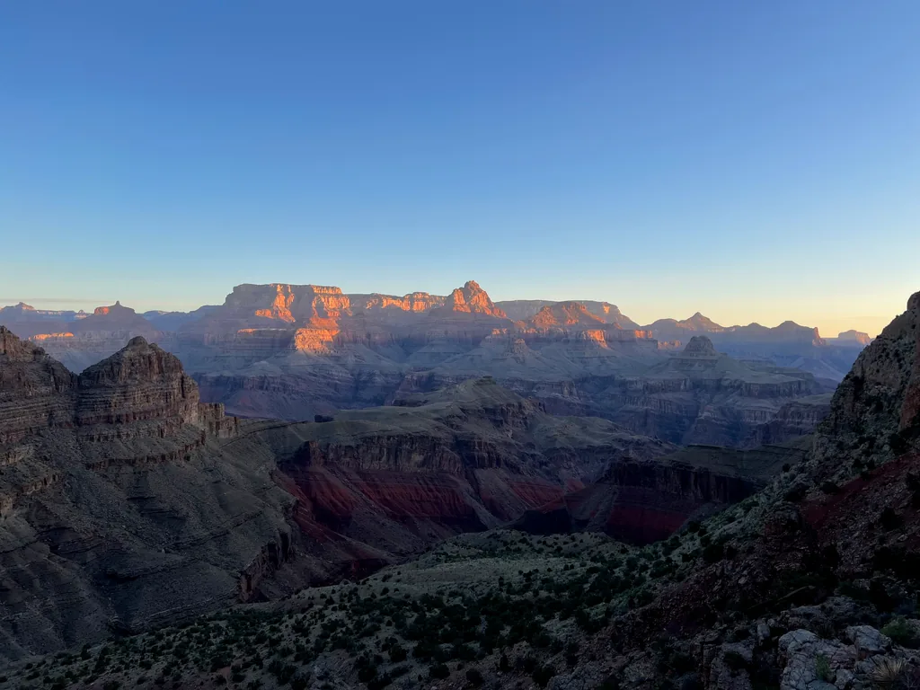
The last time I was on New Hance was about a year ago, and I had climbed up this monster trail in a pained, dehydrated state. And yeah, the only person I could blame was myself. Sometimes, in these big hikes, I get too concerned with staying on schedule, and when things slip (like, say, a bike ride between trailheads takes a long time because of strong winds) the first thing that gets cut are extra breaks or water refills. I felt some of that already happening today. The bike ride took longer than I expected, so I tried to rush down this trail, and then I slipped and hurt my knee, which slowed me down even more. Something something haste makes waste.
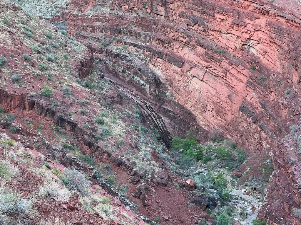
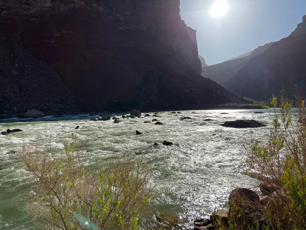
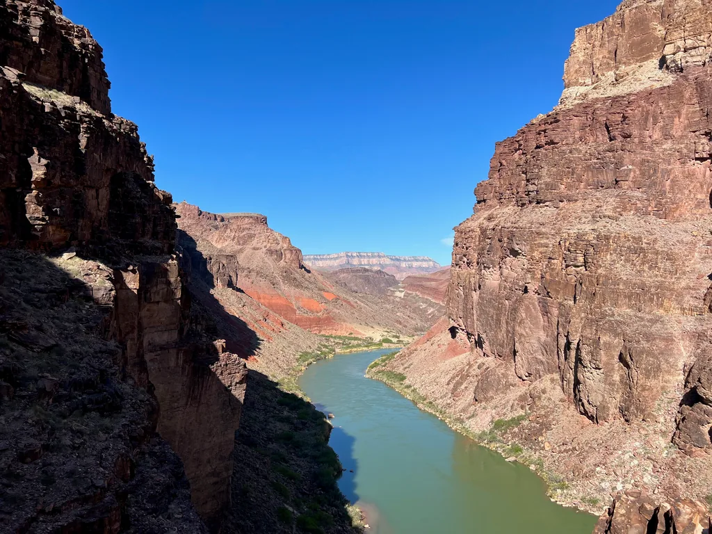
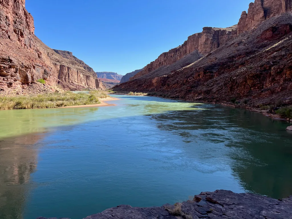
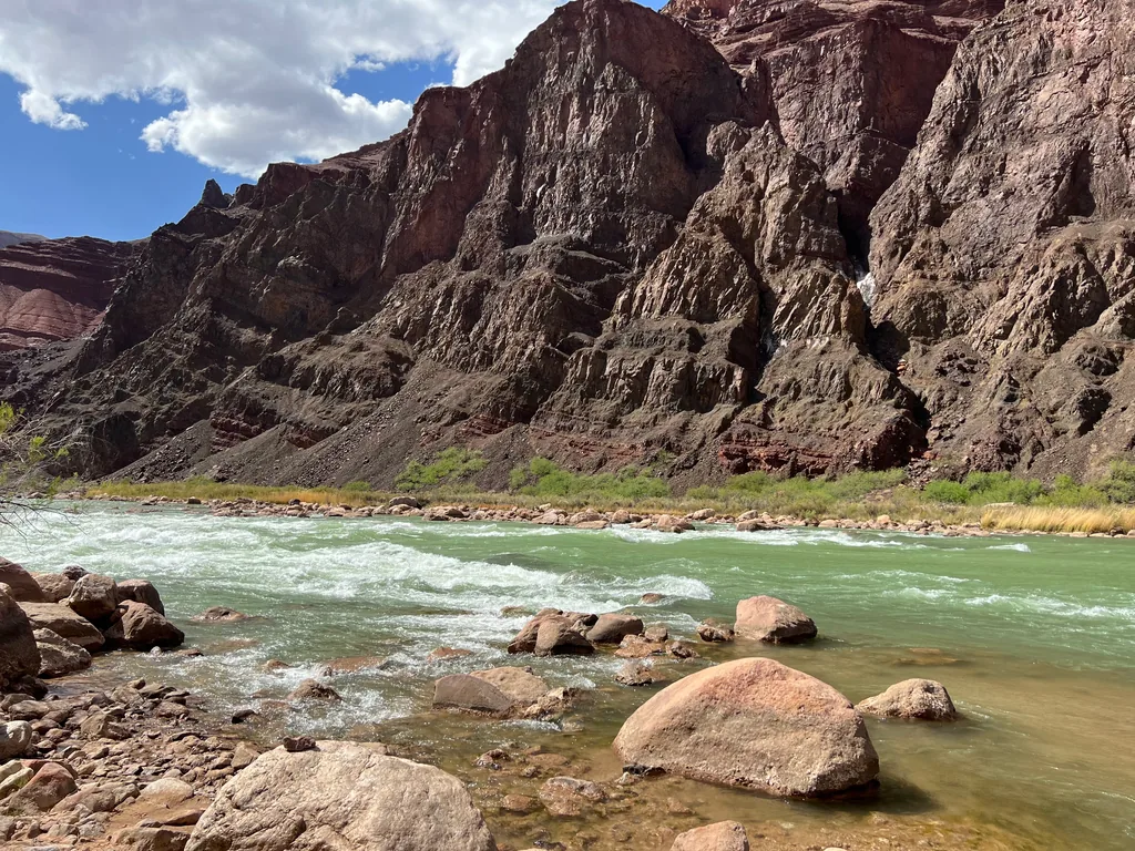
With a slight hobble in my step I finished the main descent of New Hance Trail and slogged along the loose, giving ground on the bottom of Red Canyon. I had hoped to be down here with the sunrise and had missed it by a good hour. So, of course, instead of taking the planned rest next to the rapids, I pushed on, taking only a few photos of the river before heading east along a beautiful riparian riverbank. A short distance and there was the Papago Wall, which I had read warnings about, but which turned out to be a straightforward climb up a sturdy slope of talus. There were plenty of cairns to mark the switchbacks, and I didn’t have much trouble reaching the top, traversing the short top, and then dropping down the other side.
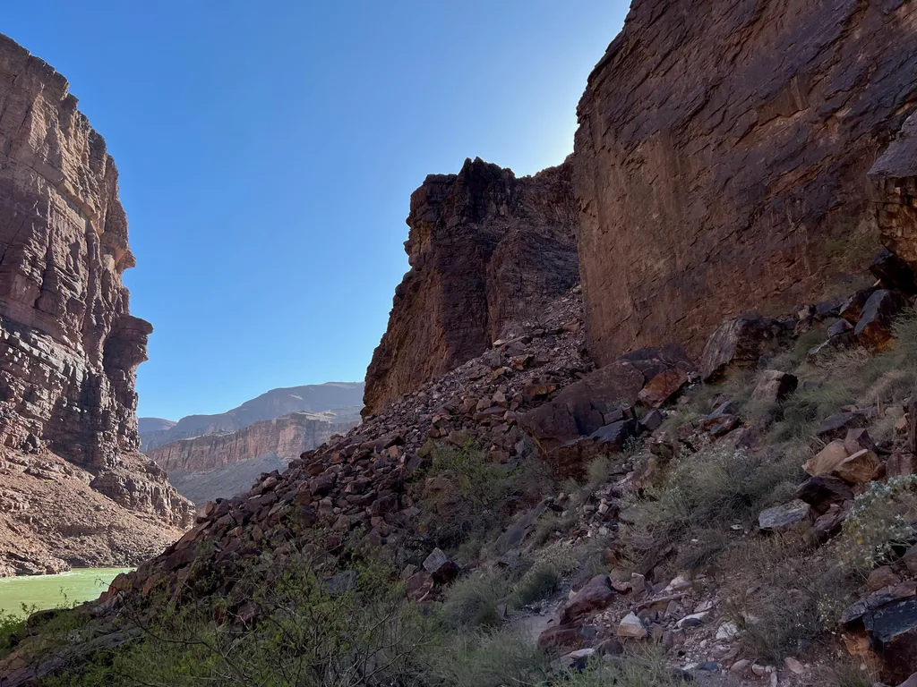
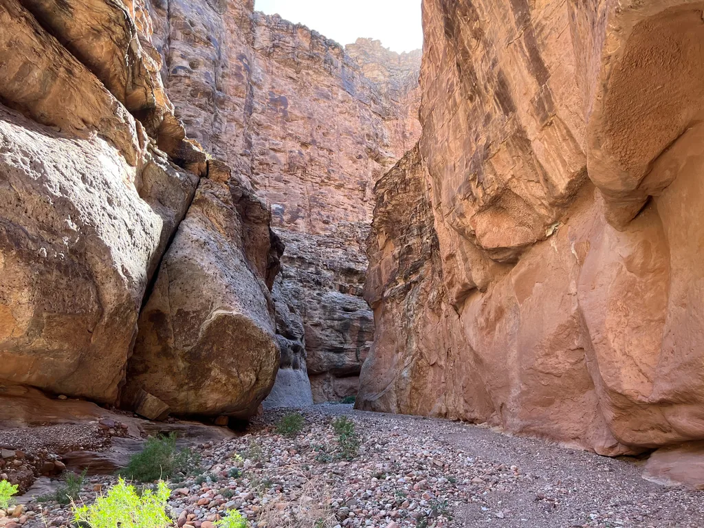
That drop was fun, and there were a few spots where I dropped my poles before butt-sliding down a steep rock face. Still, I felt a weird mix of anxiety and doom. I had plenty of water this time around - ten heavy liters, probably enough to last me all day without a refill. While the morning chill had worn off, it wasn’t terribly hot, not yet. I was still behind schedule. After a quick beachfront walk the trail turned up the tight slot of Seventy-Five Mile Canyon, and I trudged up the warm, still air, grumpily debating if it made sense to turn around.
Okay, it was time to nip this sour attitude. Ignoring the time and my schedule I found some shade and stopped, truly resting, and drank deeply from my water stash. I put aside my concerns about rationing my supply, concerns about hiking out in the dark. I could figure that out later. This trail, this canyon, was too damn pretty for me to grump along and waste the day.
After an extended break, some fresh snacks, and changing out some damp clothes I felt renewed. It didn’t matter when or how I got out of this canyon, this was an epic adventure, and I was going to give it the attention and attitude that it deserved. I took one last look back at the slot canyon and headed up, pushing on to one of the bigger climbs of the day, one that radiated fresh heat from the climbing late-morning sun, thankful that the breeze had kicked back up in time. That breeze was strong enough to force me to tighten the chin strap of my hat.
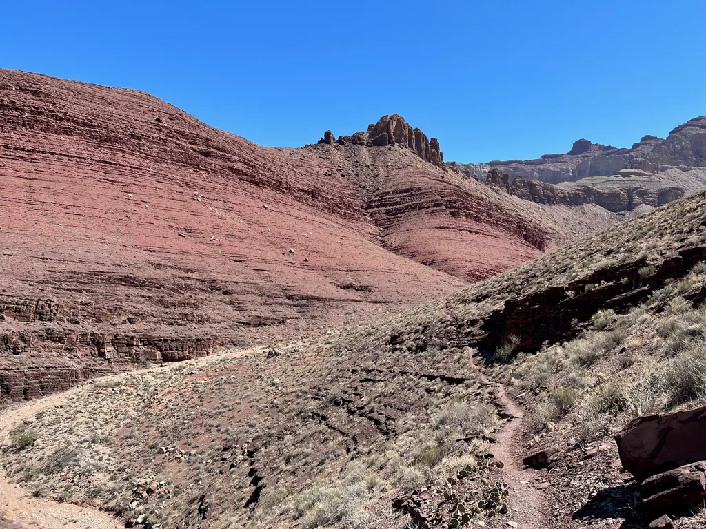
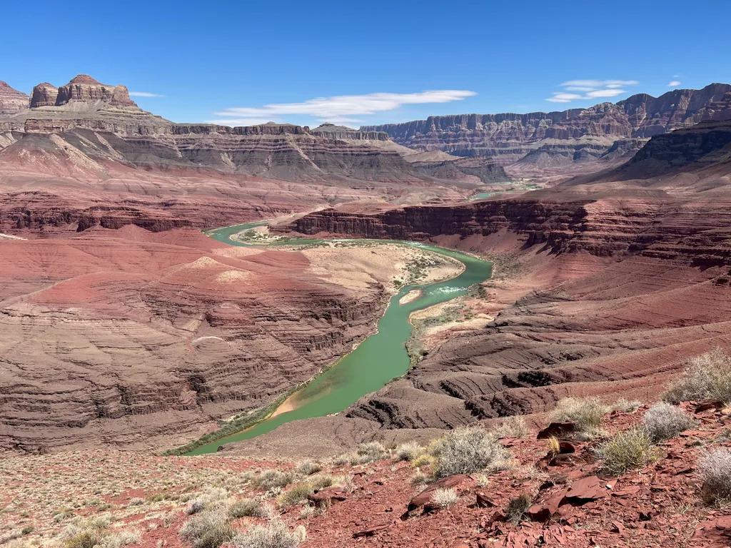
I made it to the top and earned one of the most ridiculous, gobsmackingly-awesome views I’ve ever seen. This, this didn’t look real. Somehow I had left Earth behind and had been transported to an alien landscape, the vivid colors of the rocks and river combining with towering rock walls to create an otherworldy scene that looked like it came straight from a sci-fi movie. Breathing heavily from the climb, swaying slightly from the strong winds whipping across the hot earth, I drowned in the sight.
The next few miles passed by in a heat-haze shimmer. I took it slow, pausing for water breaks when I felt like it, already planning to filter fresh from the green-tinted Colorado before the climb out. Green was good, the muddy brown is what plugs filters. For now I just followed the trail along short climbs and long flats, trotting along as it slowly descended back down to the river, passing by some old ruins on the way.
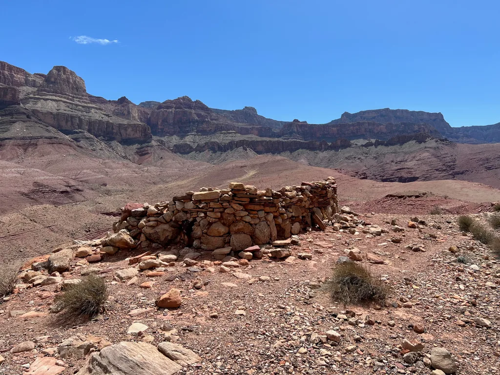
There wasn’t many other people down here today. Near those ruins I saw some rafters below me, camping at the beach below Unkar Creek, and I got close enough for a friendly wave. Earlier in the day I had seen some backpackers, and there was at least one other group I passed. However, for most of the day, it was just me and a lonely trail. Just the way I liked it.
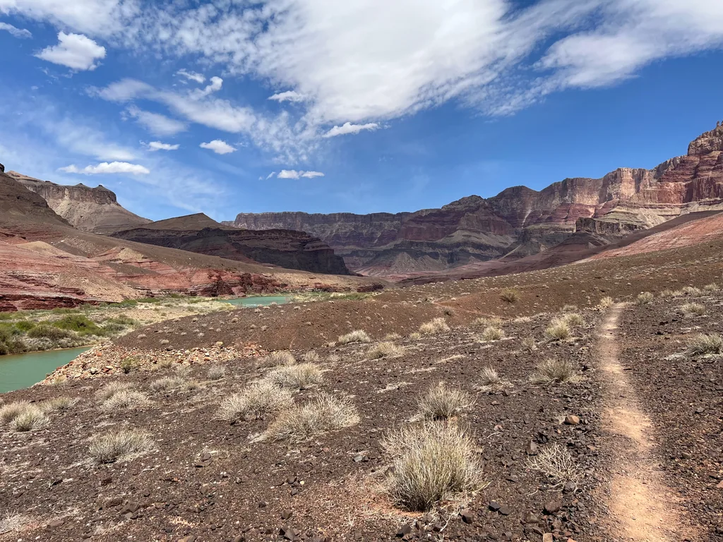
The last mile or two dragged, even if it was flat and near enough to the water to feel a bit cooler, a welcome respite to the afternoon temperature peaks. I was slightly impatient to refill my water and didn’t let myself take any breaks after the ruin. Probably should have, with the high temperatures. Still, I enjoyed losing myself in the cadence of a quick walk, letting my mind drift as my legs moved on their own, my tracking app alerting me on occasion when another mile passed. Soon enough I was next to Tanner Rapids, where a large mesquite tree offered shade while I filtered the few liters I pulled from the river.
An hour later and I had a few fresh liters, some new snacks in me, and I was ready for the climb out. I hadn’t researched Tanner Trail too much, which I should have, after the harsh sudden climbs of New Hance last year. I didn’t have much to worry about. Tanner Trail was a slow, steady climb, easy to stroll along. There were a few steeper sections where a rock layer had to be broken through, where the trail turned with sudden switchbacks like a startled snake, and these sections passed quickly.
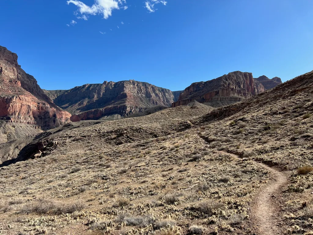
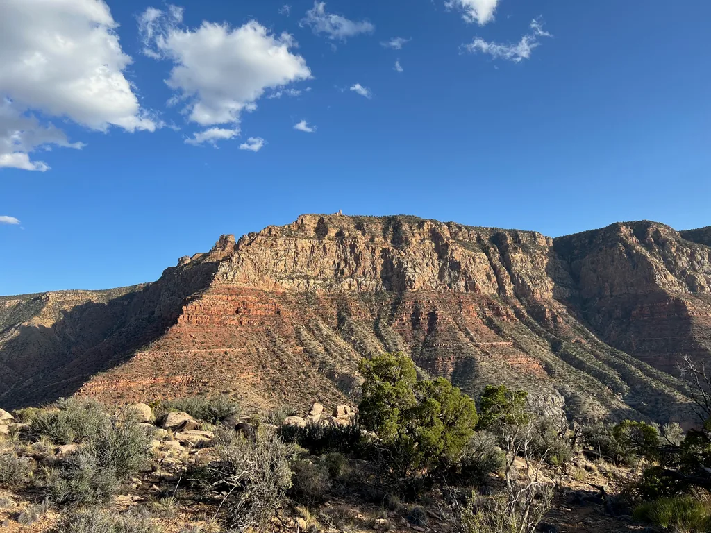
Cardenas Butte, Escalante Butte, and the headwaters of Seventy-Five Mile Canyon passed by slowly as the sun began to drop low. I didn’t mind the dying light. The final stretch was in the dark, the steepest section, where the trail changed character and crawled up a narrow drainage between huge boulders. By now the temperatures had dropped, and I had plenty of water and energy, boosted by the knowledge that I was almost there, and I cruised up with a steady step, reaching the trailhead with the moonrise.
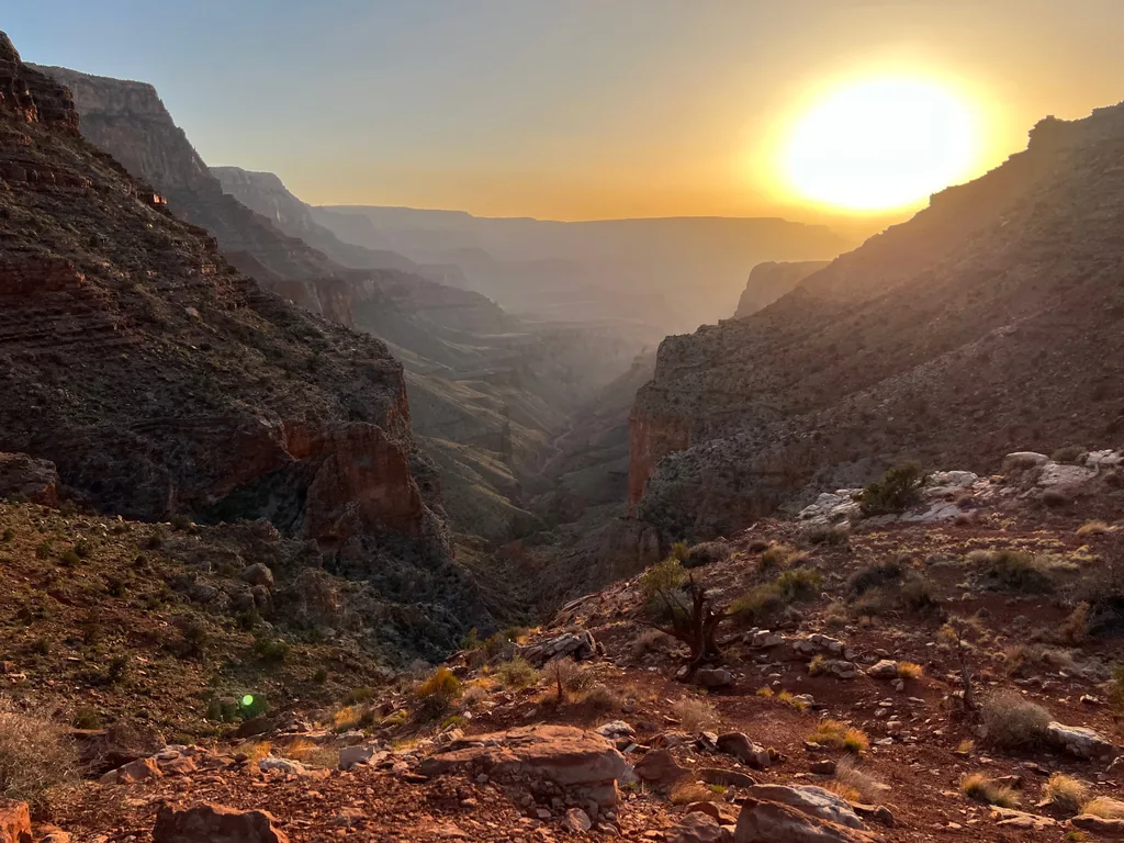
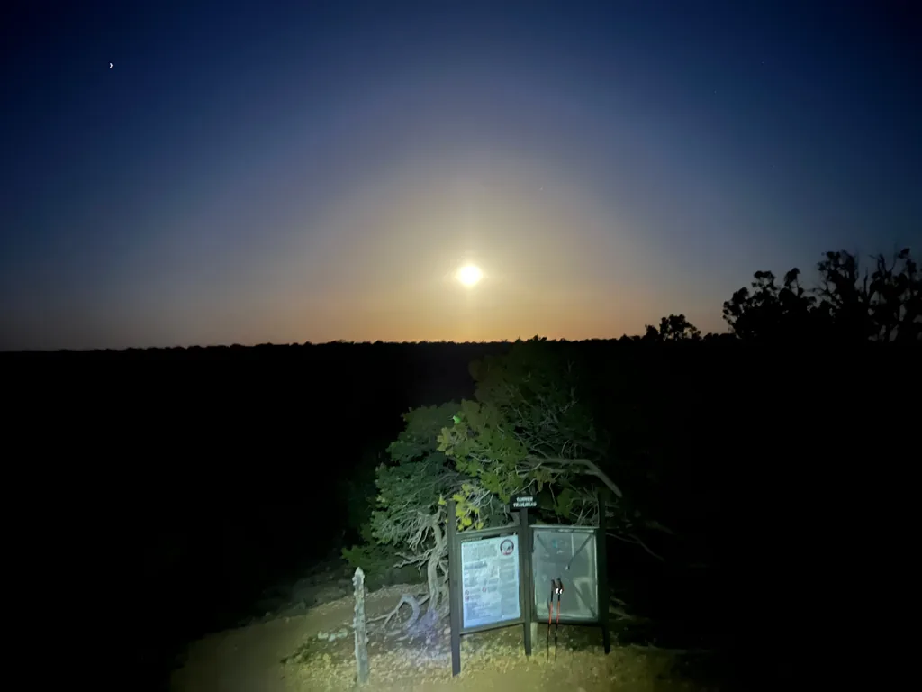
I tossed my gear into the car, picked up my bike, and began the long drive home, eager for some hot food and a warm bed. Unlike my last few trips my mind whirled with future hikes, new trails and adventures I could go on next, buoyed by the epic views and strong finish. Beamer Trail was right there, and I would love to see that odd confluence of waters, the vivid blues that meet up with the green/brown Colorado. And there were a few trips on the north rim, further west than Nankoweap Trail. The temperatures were heating up, sure, but maybe I could fit in a few trips in the fall. Funny thing about training for one iconic hike: finishing it leaves you wanting the next one, and the next. I didn’t get the next one. There was one more canyon trip the following spring, and some good days in the Galiuros, but the big routes went quiet as life got loud. For now, though, I was driving home in the dark with a tired legs and a moon overhead and a smile on my face, and that was plenty.


Comments
No comments yet — be the first.
Add a new comment
Posting a comment requires JavaScript, for spam protection (Cloudflare Turnstile). Enable JavaScript to leave one — you can still read every comment above without it.