There is a hike in the Mazatzal Wilderness that has captured my imagination for years, dating back to when I was busy hiking those trails regularly. It didn’t help that the author of the guide on HikeAZ led with a “you should only attempt this hike if you can do the Grand Canyon rim-to-rim”. A lasso loop in the Mazzies with the same level of elevation difference and challenge as the canyon? Of course, as years went on, I did many crazy adventures in the Mazzies, difficult one-day outings with multiple climbs that rivaled or exceeded the elevation gain of a pure rim-to-rim (like Sheep Creek Trail), and my interest in this particular loop waned. Until last weekend, anyways.
This lasso loop is called “Copper Camp Loop” on HikeAZ (though to me, the Copper Camp Loop is the one that starts at the Verde, climbs Copper Camp Trail, circles around Sheep Creek, and returns on Sears Trail), so we’ll call it Cypress Ridge Loop here. It starts at Mormon Grove Trailhead and follows Saddle Mountain Trail northwards to McFarland, then continues on Sheep Creek and Copper Camp Trails through Squaw Flat and down into Copper Camp Creek itself. At the old sheep loading corral it turns off-trail and makes a tough haul up the side of Cypress Ridge, then drifts down the northern side through a few pleasant meadows on the way to Sheep Creek. To complete the loop, it then follows Sheep Creek Trail south, back to Squaw Flat, and connects to that lasso stem of Saddle Mountain Trail. Two big climbs (one up Cypress Ridge, the other back up Squaw Flat), some off-trail spiciness, and tough trail walking along two remote creeks make for a challenging, somewhat reasonable dayhike.
It was a moody, unseasonably cool Sunday morning in late September when I parked at Mormon Grove Trailhead, somehow arriving at the same time as two separate groups of hunters who were scoping for mule deer. I always forget that hunting occurs in Arizona, with how little game there is here compared to the midwest. With a few awkward words exchanged I turned and headed up the trail by headlamp, eager to get out of their way and (hopefully) not scare away too much of their fun. There was a stack of storms heading our way, remnants of this week’s Pacific tropical storms, cooling the temps and clouding the sky, and I wanted to make good time and not get stuck in a thunderstorm on a tall ridge.
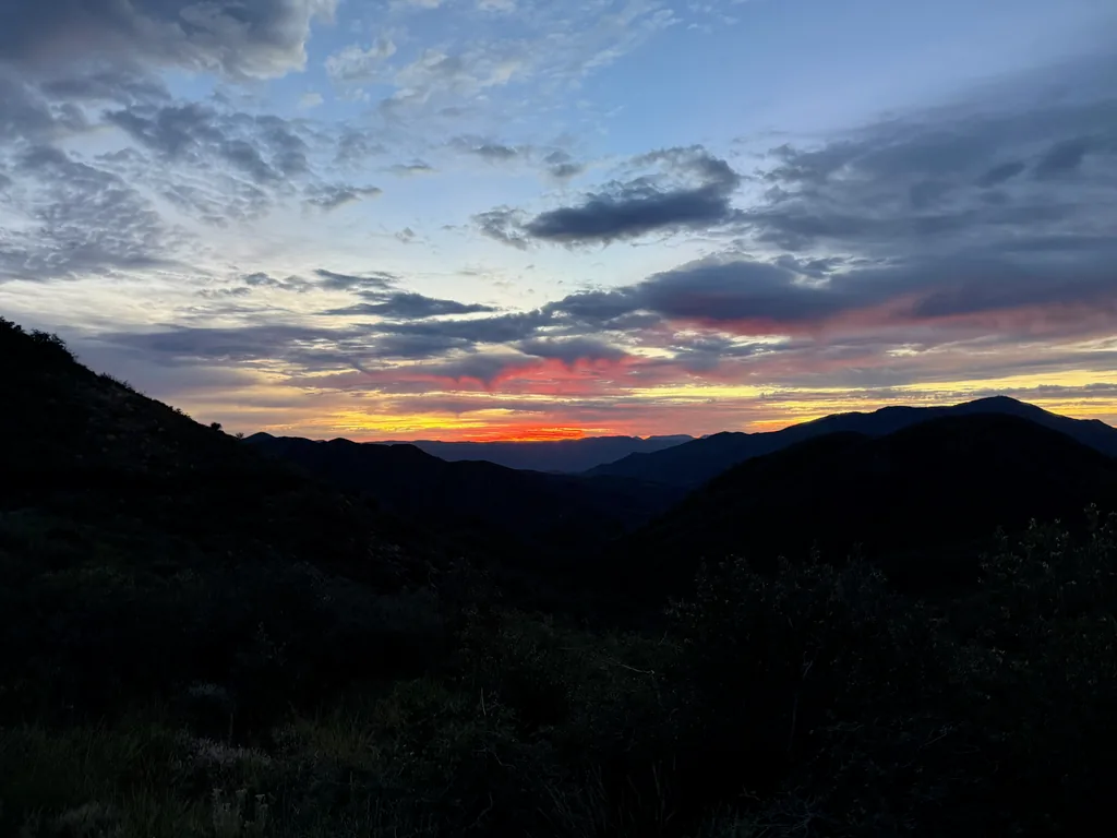
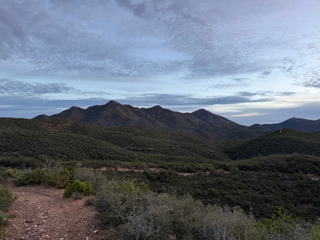
Saddle Mountain Trail is mostly an old mining road, oddly level and wide along its length, and it makes for an easy low-light stroll. I made quick time along it, only needing my headlamp for the first two miles, zipping along the drainages and past Potato Patch, remembering fondly when my kids and I had rested here a few years ago on the way to an overnight trip to McFarland. This trail ends weirdly at Sheep Creek Trail - technically, Saddle Mountain Trail continues and forms a closed loop ahead, passing by a few open mine shafts, although that section is poorly maintained and difficult to track. Today I kept on the main route, focused on my larger loop ahead, taking Sheep Creek Trail down into the pleasant McFarland canyon, with its sheltered ponderosa pines and camp clearings.
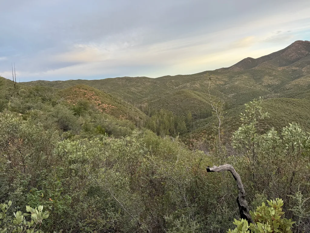
A short break, just long enough to stow the headlamp and pull out some fresh snacks, and I continued along Sheep Creek Trail, following a drainage up and onto the Squaw Flat area, which is sheltered between the towering heights of Saddle and Sheep Mountains. Yes, there are a lot of repeated names here; it’s easy to get confused. It had been years and years since I was back here and I vaguely remembered a tangled mess of a trail with lots of deadfall, the shallow drainage providing some short sections of cleared route forward. Thankfully, a trail crew had been back here, and there were only two deadfalls to navigate and one confusing turn to hunt around. It almost felt too easy when I reached my old campsite back here, a small grass clearing under an ancient tree near the junction with Copper Camp Trail, and I had to double-check my GPS to make sure I was already there.
Now it was time for Copper Camp Trail. Again, I traced my memories back, recalling a trickling red-rock seep and a tough section of deadfall that I crawled on top of. Today the seep was dry, and with a more careful eye, I was able to stick to the tread and completely avoid that deadfall trap. Sometimes the passage of time is kind. I hauled along, passing unburnt sections of trail with a grateful heart, following the tread more intentionally, admiring the new growth in the burn scars, feeling old and wise and sage or whatever.
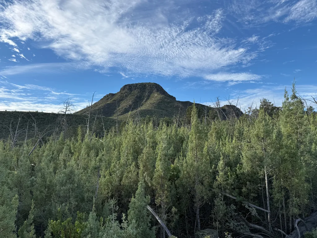
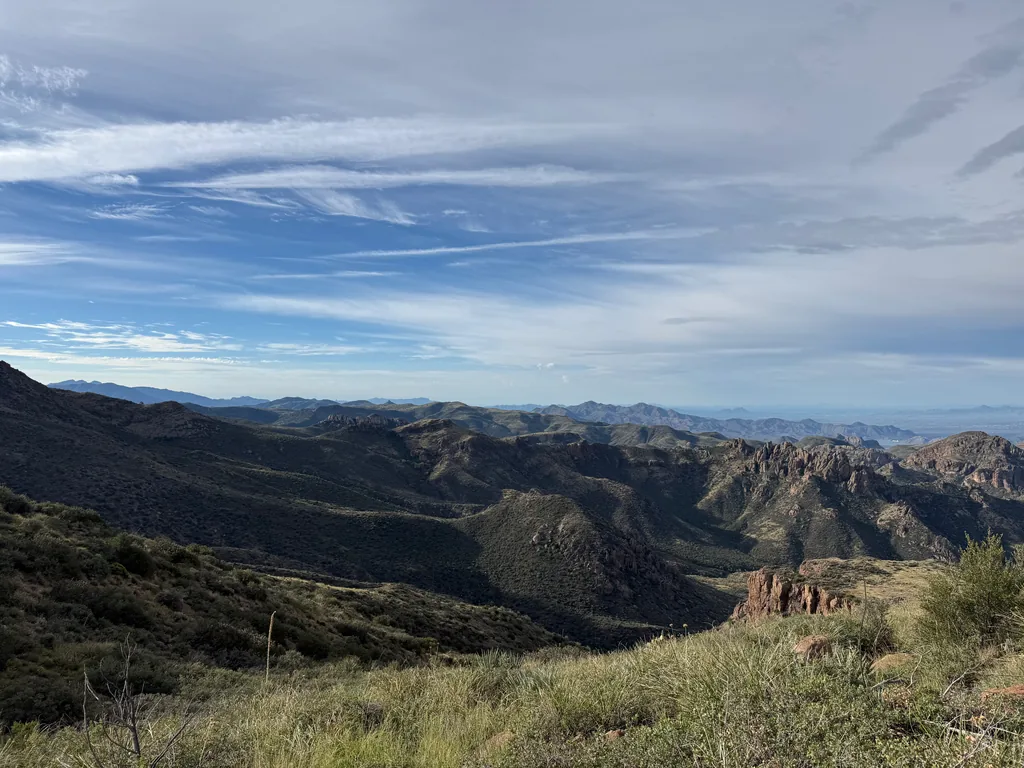
This trail bucked up and down a few times, reminding me of a fat, lazy snake drooped on the ground, and soon I reached the edge of Squaw Flat. This is a worthwhile destination on its own. The views you get beyond the bulk of Saddle Mountain are impressive: Four Peaks, Tortilla Peak, Weaver’s Needle, Superstition Ridgeline, Phoenix, Bartlett Lake, and the McDowell Mountains. I missed Horseshoe Basin, which hides a bit further to the north and was blocked by a few nearby rises. Still, it’s quite a good view, and I spent some time gazing over things far and near before starting the slow-motion downward tumble.
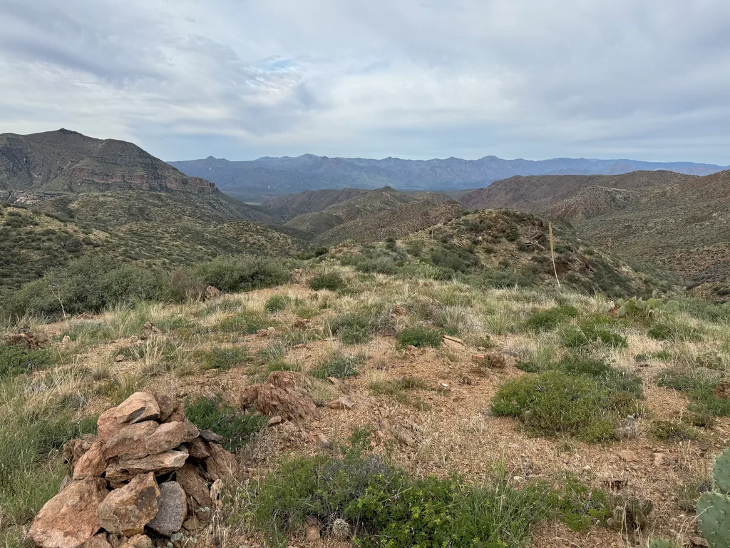
Somehow, heading downhill felt more painful than the rest of the hike so far. I guess there’s the psychological effect of knowing that each step made bailing much harder, that each step out and down was committing me even more to the total route, regardless of the unknown afternoon weather. There was also very little tread to follow reliably. My hike turned into a cairn hunt, picking out the next pile of rocks in the distance and finding the least painful option down to it, even if that meant stepping on loose, rolling rock or inching through a maze of prickly cactus.
I recalled a tough climb up, one where I had to stop and rest in the shade a few times, though I didn’t remember just how little tread there was. Usually there’s decent tread on these steep sections, built-up switchbacks and well-trod paths. Perhaps this section of trail was a more recent forest service addition, and the older, more-worn routes didn’t go this way. The primary route up on Squaw Flat went past Saddle Mountain and down Sheep Creek to the ranching activity there, not this way, not further west. Also, while there was mining in Copper Camp Creek (I mean, just look at that name), most of that was hauled out west, not up this steep hill. Perhaps the forest service just piled up a few cairns on this hillside and called it good, trusting that hikers would figure it out.
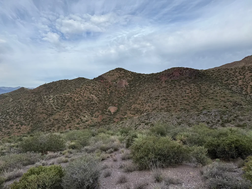
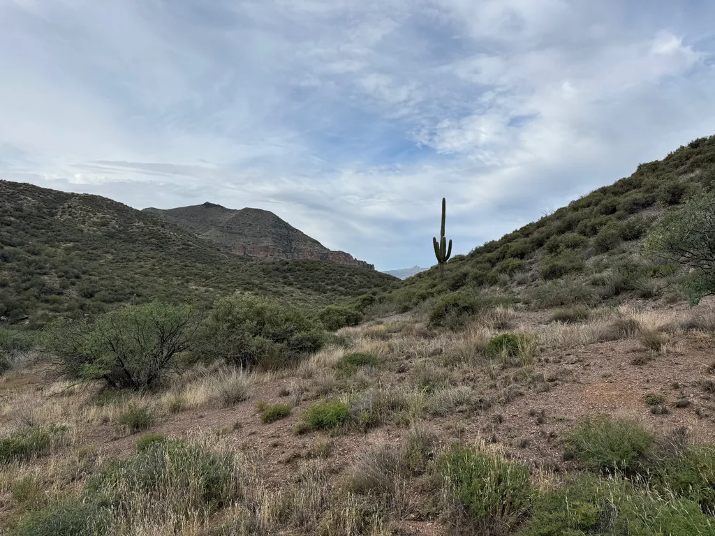
When I finally reached the creek, a long hour after starting the descent, I appreciated the flat walking and steady tread for about five minutes. Then the trail disappeared. I cursed, trying to remember if there was good tread along the banks here or if I had followed the creek itself last time, and couldn’t remember. Giving in, I stuck to the creek and found myself fighting through riparian growth, vines and deadfall, cautiously stepping on piles of dead leaves, wondering if a sleepy snake would dart out and give my clumsy foot a nibble.
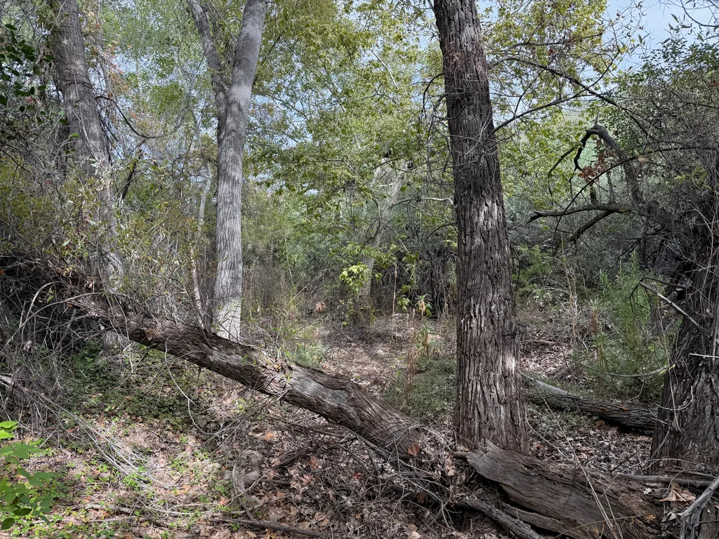
The next two hours dragged. Yeah, it took two darn hours to hike along the relatively flat creek, switching between fighting creekside overgrowth, riparian tangles, and boulder-hopping. Frustration began to grow as the (literal) clouds gathered above. There was still a lot of off-trail hiking to go… if the trail was this annoying, how bad would that be?
Along the way I passed one, then a second good water source. My plan was to water up at the loading corral, which had a marked “seep” and trickling water on my last visit. I should have checked my GPS at the second water source, which was a mere half-mile upstream from the marked seep, and watered up there. Instead, I stopped near the loading corral and found only dry rock tanks, no water or moisture in sight. Shoot. Checking my pack, I saw that I had two liters remaining. I really, really didn’t want to retrace my steps back upstream to that water source and deal with the brush a second time. Perhaps two liters, carefully rationed, could last the 3.5 off-trail miles to Round Spring? It was a gamble, a dangerous one, but man, I didn’t want to retrace my steps.
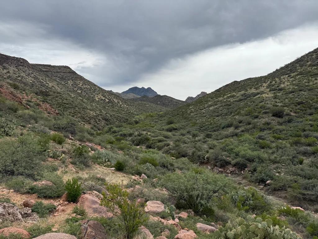
I rested, sipping sparingly, and wished I had enough water to make oatmeal and coffee. Oatmeal and coffee sounded great right now, especially before this big climb. Dry protein-rich bars and salted water would have to suffice. Resolved on my decision, I shouldered my pack and began the uphill grind.
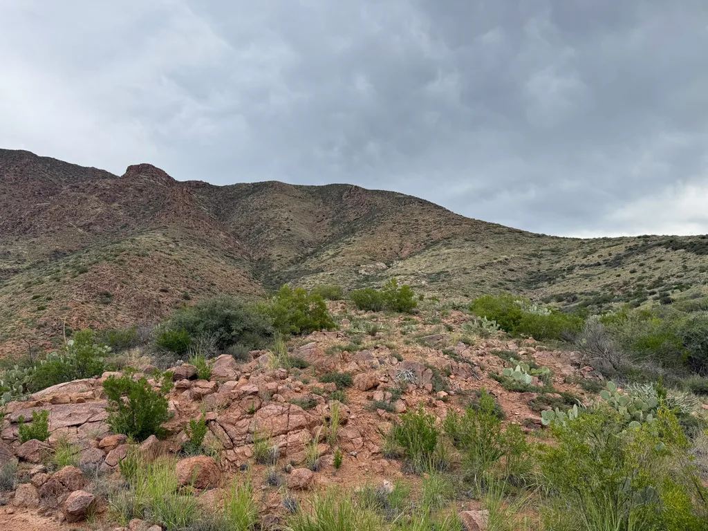
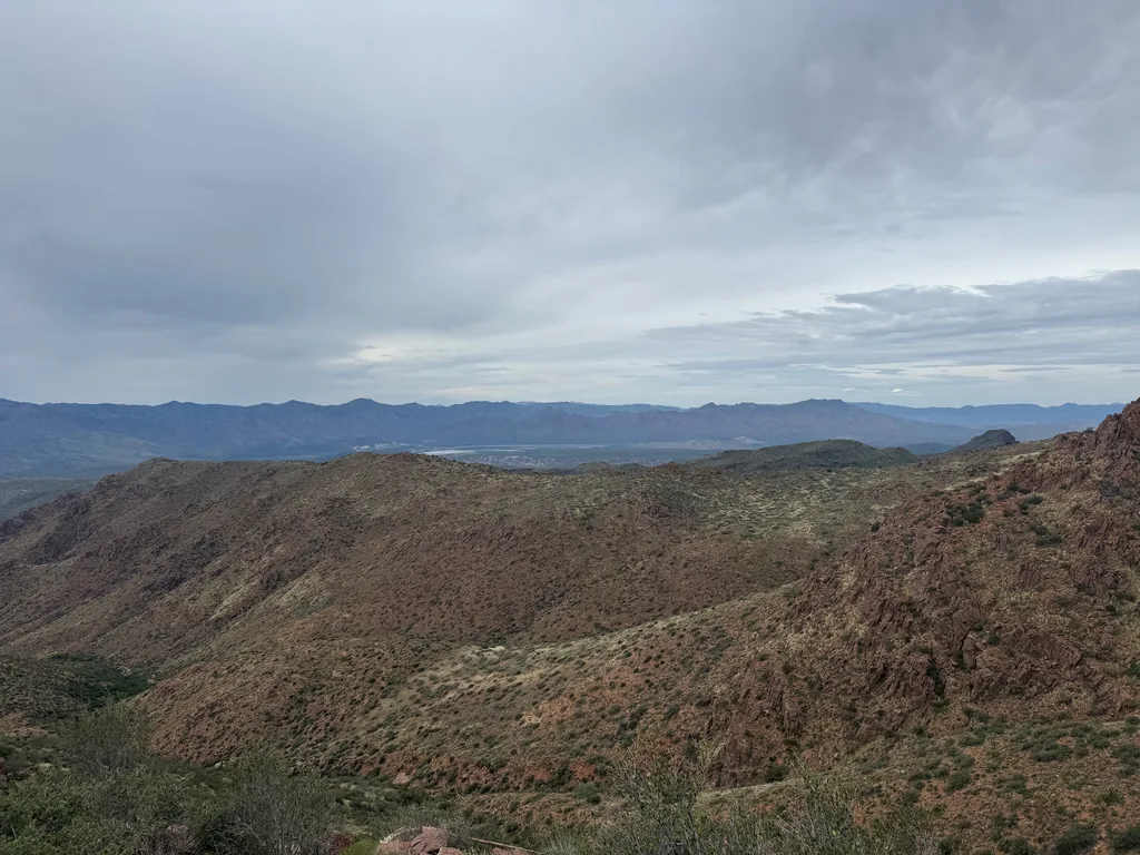
This slope was steep enough to warrant a very grind-y type of hiking. I’d pick out a waypoint ahead - a dead agave, large prickly pear, or dead tree - then a general direction on how to get there (stay to the left of those rocks), and then go head down and clomp my way forward. This would knock my breath out, so once I reached my waypoint I would rest long enough to pick a new waypoint and general direction and repeat. Slowly I climbed up the hill, twenty or thirty feet of elevation at a time, gradually earning views over the nearby rises.
As I walked I sipped my water, thankful for my change in water strategy. For years I used a two-bottle strategy, one with fresh water and the other with a Nuun mixture, and had to take my pack off each time I needed a drink. This worked, especially on thick trails when branches would snag at a water hose, and helped me when I had to ration my water. However, after my last big hike out by Tortilla Loop, I began to realize that Nuun wasn’t giving me enough sodium or electrolytes, and that a lot of my cramping was due to low salt, not a lack of fluid.
Today I had a 3L bladder with Tailwind, which had both electrolytes and carbs to keep me moving, and I had a hose so I could sip this as I moved along. Still worried about running out, I also had my trusty two bottles, each 1L in size, one for a heavier electrolyte mix (LMNT or SALTT), one for plain water to wash down food. When I had stopped before I only had 1L of Tailwind and 1L of fresh water, so I gave up my fresh water for more LMNT mix, keeping that in reserve in my pack while I gingerly sipped the Tailwind. Sure, my mouth was dry, and I felt a bit dehydrated, but the hefty electrolyte & salt intake was keeping my cramps at bay, even as my fluid ran low. This might be it, my new water strategy, to push extra sodium and potassium and magnesium with as much care as I did with my fluid.
Near the top I found a pleasant surprise: switchbacks and tread! They showed up as the slope steepened and the ridge I followed became clogged with rocks, outcroppings that were tempting to climb directly. A marked trail swung to the left here, offering a more gradual climb up. Perhaps ranchers from below had used this trail to drive sheep up and down, or miners to avoid that climb up Squaw Flat? Either way, it made some of the climb easier, even if the tread faded out near the top and left the last few hundred feet up to me.
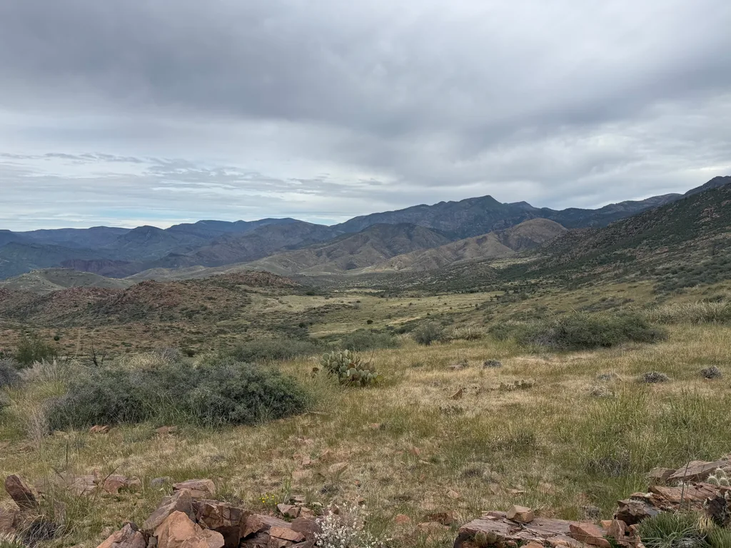
Cresting the top, 1.5 hours after starting, I gazed down at the grasslands, admiring the stretch of mostly-flat land below me. A large buck startled nearby, running away from me with an unhurried pace. He was safe this deep in the wilderness. Even if a hunter ventured up here, I would hope they wouldn’t hunt out here, as I can’t imagine they would be willing to haul more than the antlers out.
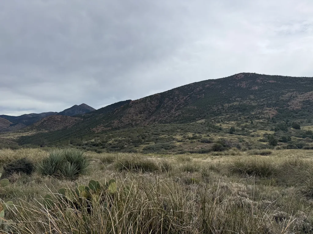
I slowly tumbled down the hill, picking my way through the intermittent brush to the grass, then strolling easily through the meadow. Man, this was pleasant. I’m not sure how Ken from HikeAZ found this area, though it sounds like he appreciated it greatly, and opted to do this as a multi-day adventure often, camping in these meadows. They would make great camping sites, though they did look quite dry. Nice views to the north and east, wildlife to gather if you were quiet enough, and a shallow bowl that would form a gentle cold sink… yeah, these would make for good camping.
I passed through the first meadow, dropped down a rocky drainage and found a surprise tank of water, just big enough for me to filter a fresh liter of water. It tasted excellent, likely gathered from a recent sprinkle, and it washed the salt and dust from my mouth. Thankful, I tumbled down to the second meadow, which was surrounded by a significant amount of chaparral that blocked my way. Stubbornly I pushed on, fighting a direct line through, and only later realized that a short detour to the north would have skipped most of it. Oh well, sometimes you have to learn the hard way.
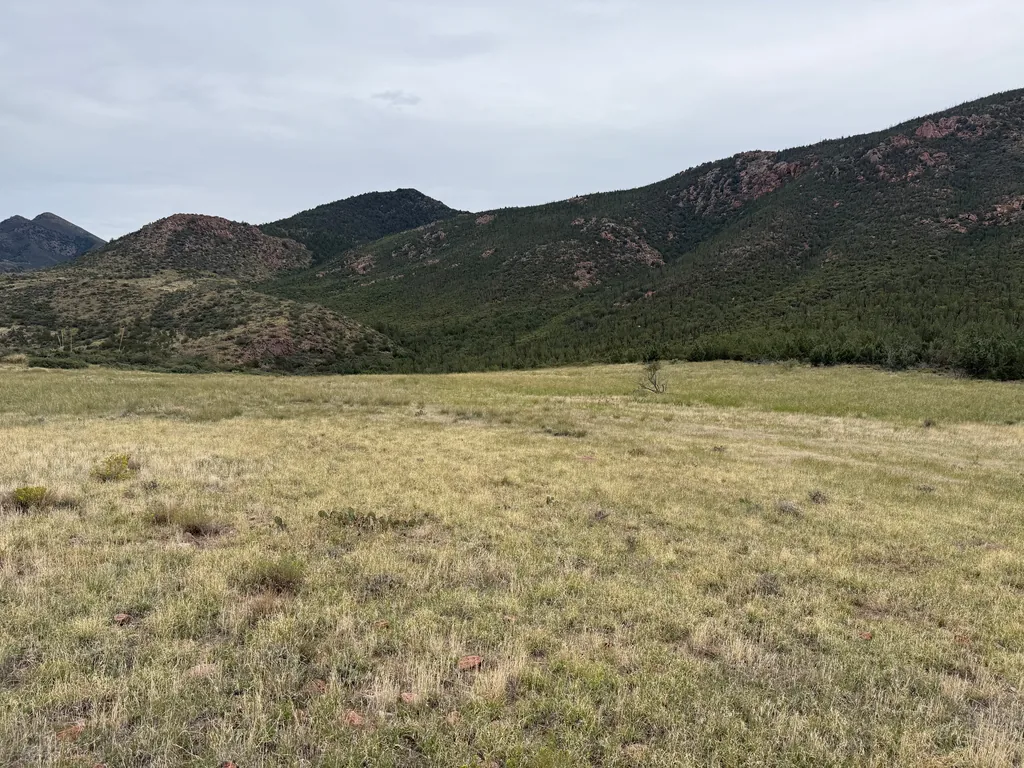
Beyond the second meadow was a series of ridges, low and numerous, as the flats of Cypress Ridge drained to the north. None of these drainages were large enough to provide an easy way down to Sheep Creek below me - they were all rocky, nasty things full of deadfall and loose boulders. Instead I pushed through them, hurdles twenty feet in height, eager to reach Round Spring. There just had to be water there. Round Spring isn’t the most dependable, but Sheep Creek flows in from the northeast, where more rain had fallen over the last few weeks, much more than had fallen over Copper Camp Creek. Surely there’d be fresh water flowing down off the Mazatzal Ridge into this creek.
With some luck, some cursing, and more than a few trust falls, I forced my way down the final drop to the tributary of Sheep Creek that led to the creek proper and the trail that would take me up to Squaw Flat this afternoon. Turning west, away from my afternoon climb, I followed the trail towards Round Spring, only finding the last few hundred yards choked with catclaw. Eagerly I passed by Round Spring, to the creek, and found it bone-dry. Seriously? I sadly returned to Round Spring and saw a meager inch of water there, with clouds of gnats, a few wasps, and a dingy scattering of flaky mud underneath, and started the painfully slow process of pulling murky water out, flushing my filter after each liter to keep the flow going.
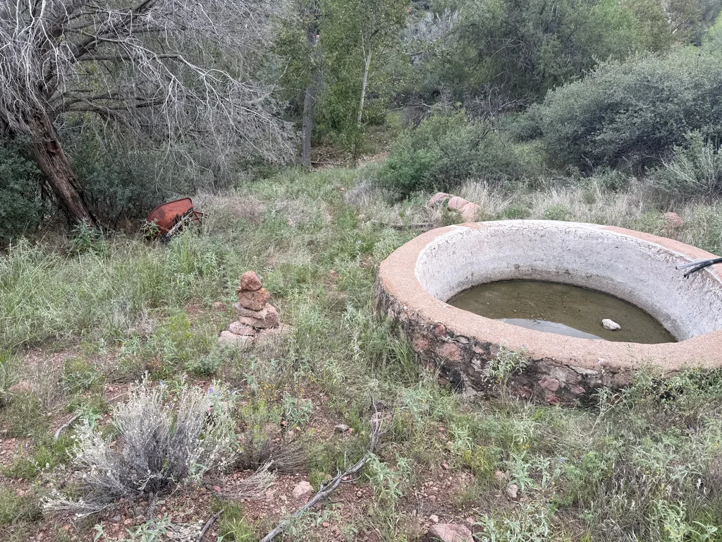
Almost two hours later I was able to walk away from the clouds of insects fighting for my water. I couldn’t complain too much - I had pulled enough to make ramen, fill my 3L bladder and both my 1L bottles, and drink my fill. The water tasted like algae and sulfur, but it was still water. Time to start the long climb back up to Squaw Flat and finish the loop. Two miles of creek walking, a steep climb, then the simple matter of following the lasso stem back to my car.
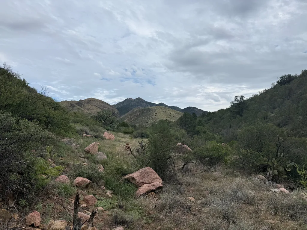
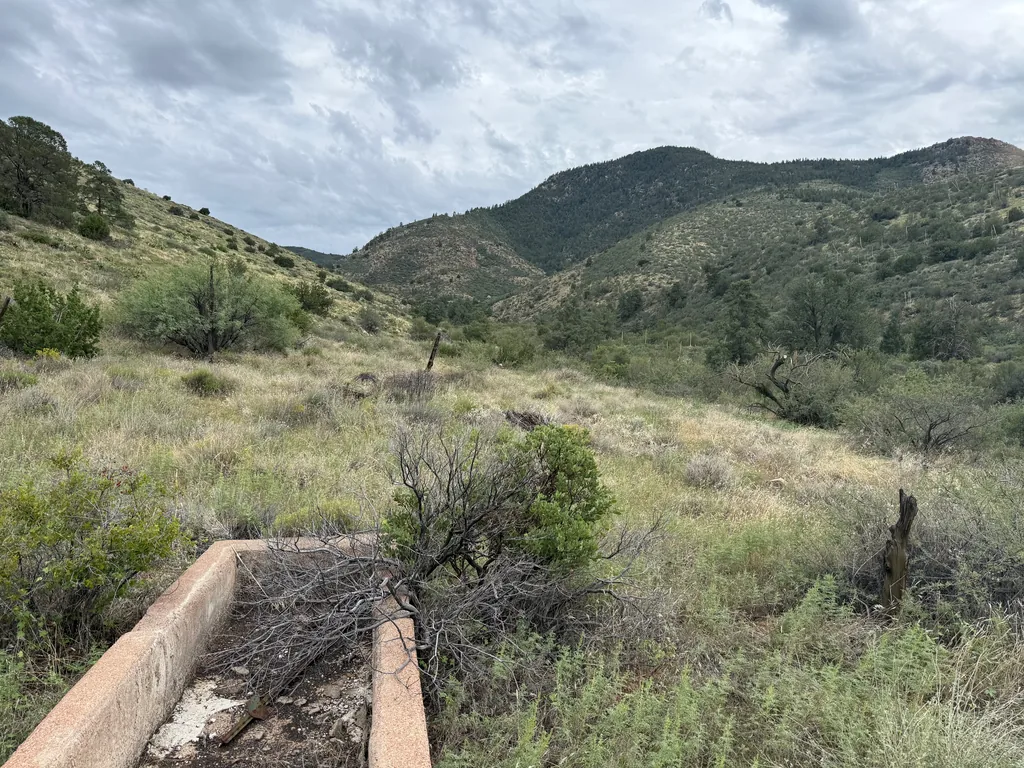
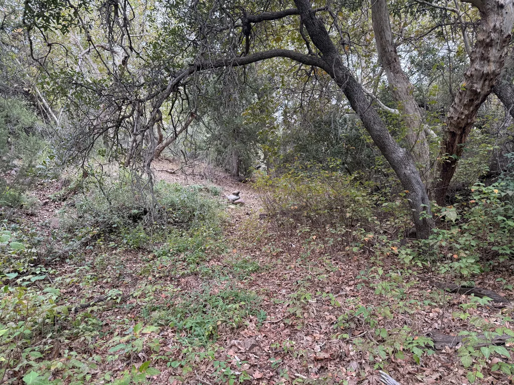
The clouds ahead continued to darken the sky, yet so far had only given me short bouts of scattered sprinkles that barely pulled my attention before fading away. I wasn’t worried about the storms anymore. This section of Sheep Creek Trail had also benefited from recent trail maintenance, and I was able to make quick time along the slight climb, only getting confused one time when the cairns seemed to lie. Man, whoever or whatever team worked on this section, they did a great job. Feeling tired, yet somehow ready to tackle the last big climb, I left the bottom of Sheep Creek and pushed upwards to Squaw Flat.
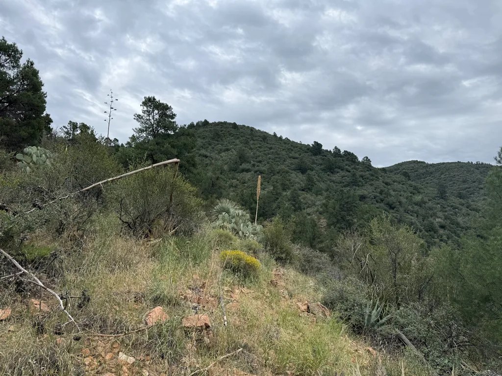
Normally, when a trail climbs up the ridge from a creek, especially a steep, manzanita-covered hillside, it cuts back and forth in quick switchbacks. This trail doesn’t like switchbacks, I guess. Instead, it zipped directly up, with lots of erosion damage eating away at the tread, forcing me to rely on my trekking poles to keep from slipping. I appreciated the brute force here, I suppose, even if the lack of steps, water bars, or lead-off ditches seemed to be hurting the integrity.
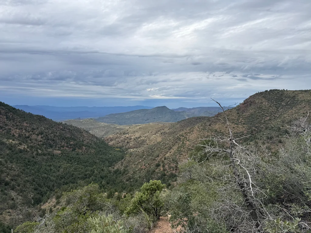
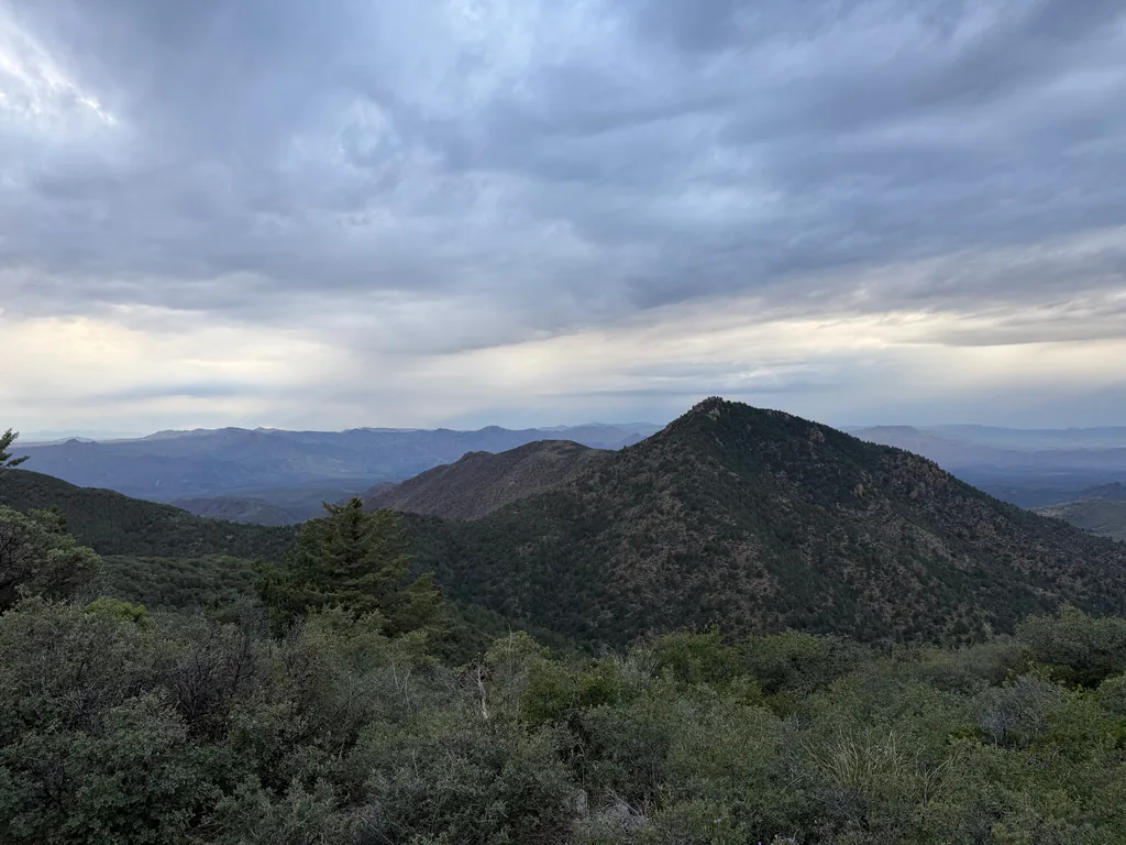
The last few hundred feet did have a few switchbacks, and I paused a few times to admire the views that the climb had earned. Far to the north loomed Table Mountain, a reminder of the deeper Deadman Creek cut over there, another trail that I would love to return to some day. To the west was the top of Cypress Ridge, which had towered above me for most of the day, now looking somehow attainable with a connecting ridge from Squaw Flat. I wondered, not for the first time, how that off-trail climb would be, to follow the ridge from Squaw Flat to Cypress Ridge over and around the multiple outcroppings.
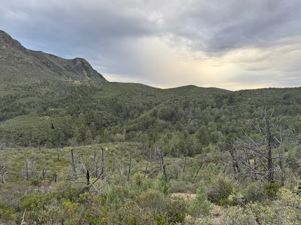
Reaching the top of the climb I swayed, slightly, looking over Squaw Flat, Saddle Mountain, and the cloudy skies above. It was all downhill from here! Well, not really. There were rolling hills directly ahead of me as this trail curves and twists its way back to the Copper Camp Trail junction, where I had been so many hours ago. Then a steady downhill to McFarland. I rushed along this section, eager to reach the more maintained trails ahead, and reached the camping areas by McFarland before the sky darkened into twilight.
After a short break in the dark, where I checked my remaining water (plenty) and sent Katie an “all fine” message, I pulled my headlamp back on for the last few miles. There was a short, steep climb up this trail to the junction with Saddle Mountain, and then the relatively flat, easy walk that I had already completed in the dark once today. The promised storm began to hit on this section, with quick bursts of rain and wind that swept over me, lasting mere minutes. I didn’t care, and enjoyed the cool bursts, shivering with glee. A warm car, clean clothes, and fresh, not-sulfur water waited for me. Ten years after eyeing up this crazy, partially off-trail adventure, and I had finally visited Cypress Ridge. More than that, though, my confidence and eagerness for all-day Mazatzal adventures had been restoked.


Comments
No comments yet — be the first.
Add a new comment
Posting a comment requires JavaScript, for spam protection (Cloudflare Turnstile). Enable JavaScript to leave one — you can still read every comment above without it.